Friday 19th June
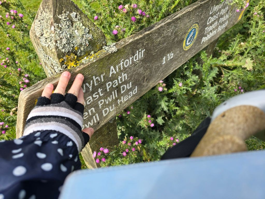
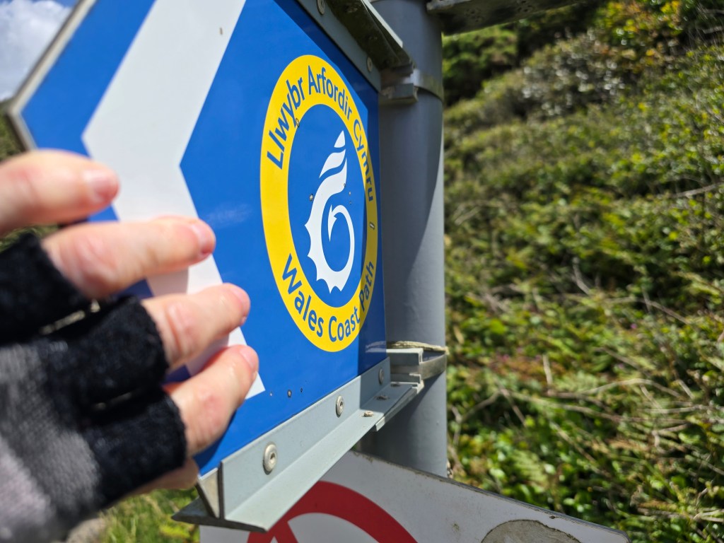
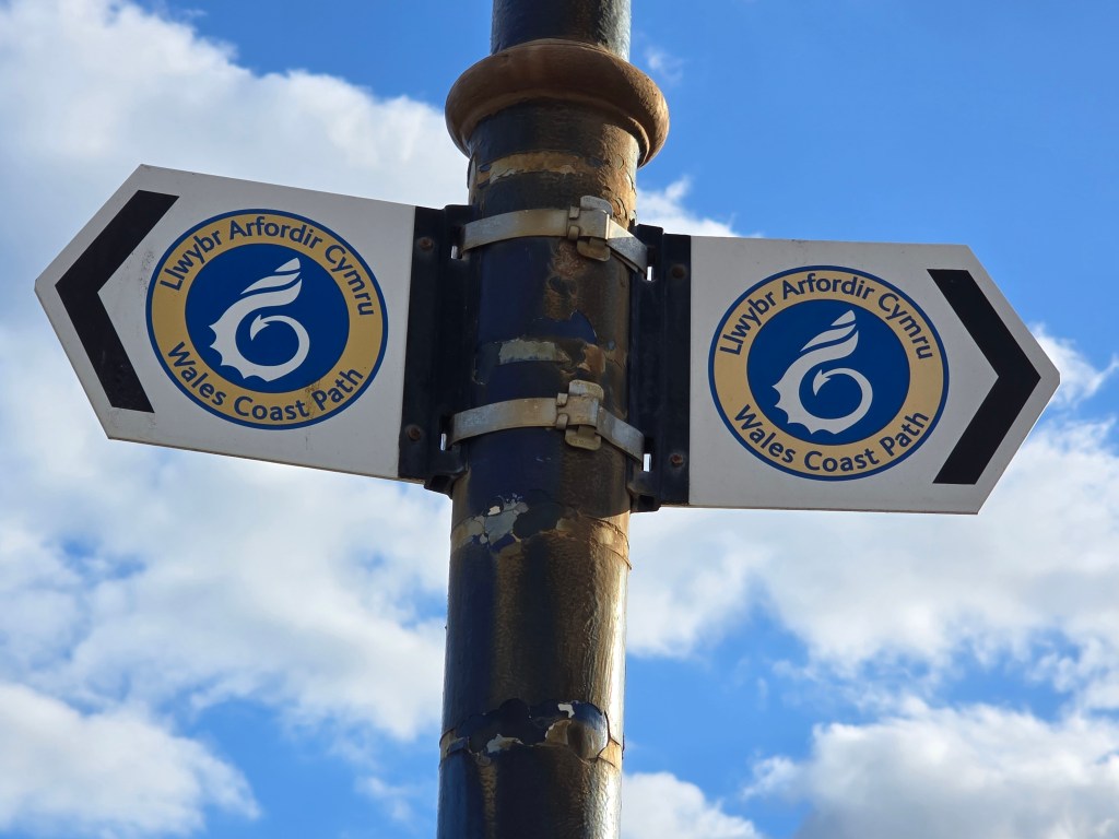
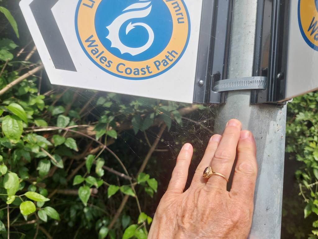
Circular walk from Rhossli
Steps on the trail 6182 (7184 off) – Miles on the trail 2.67 (2.97 off!)
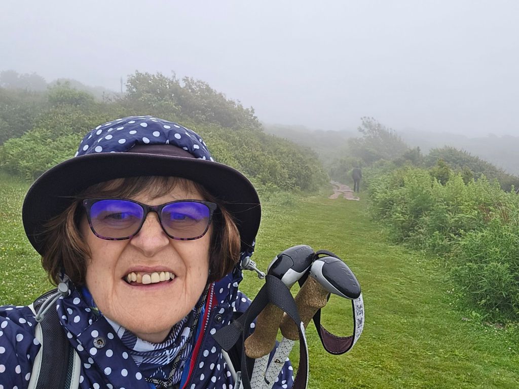
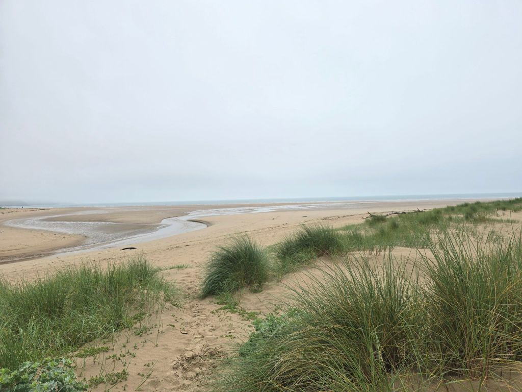
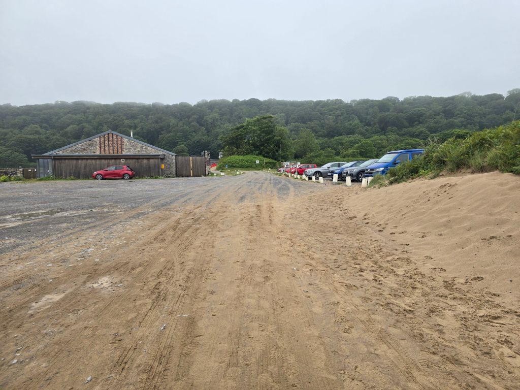
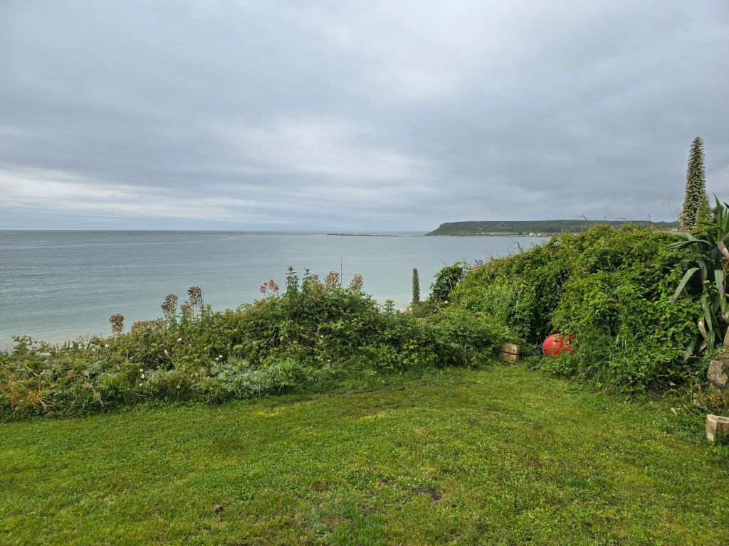
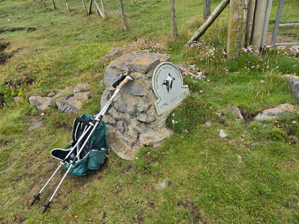
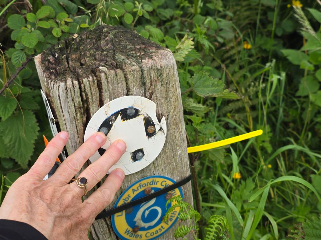
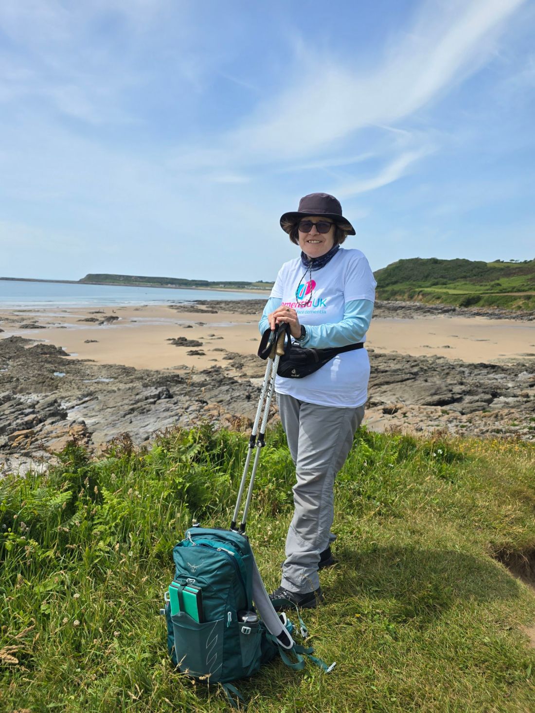
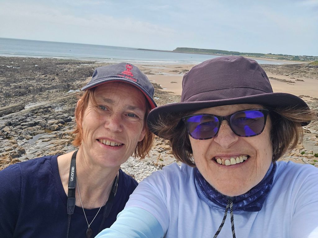
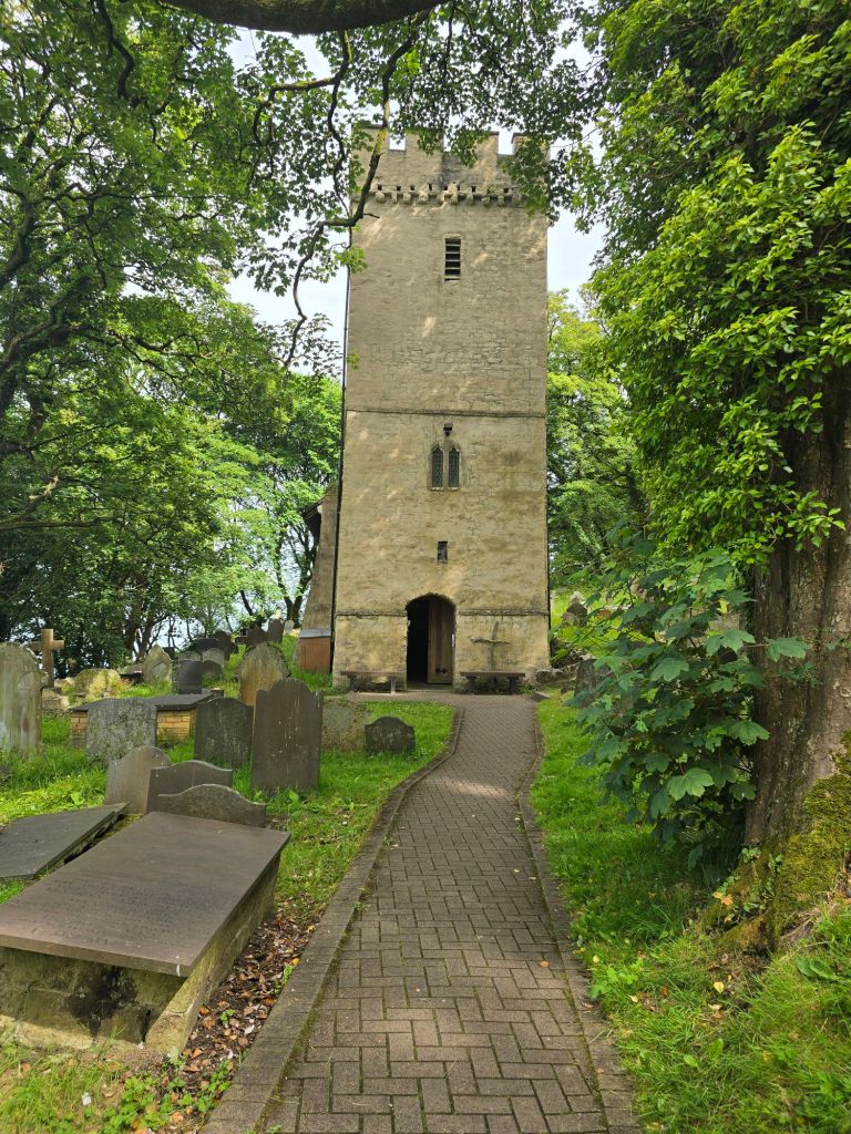
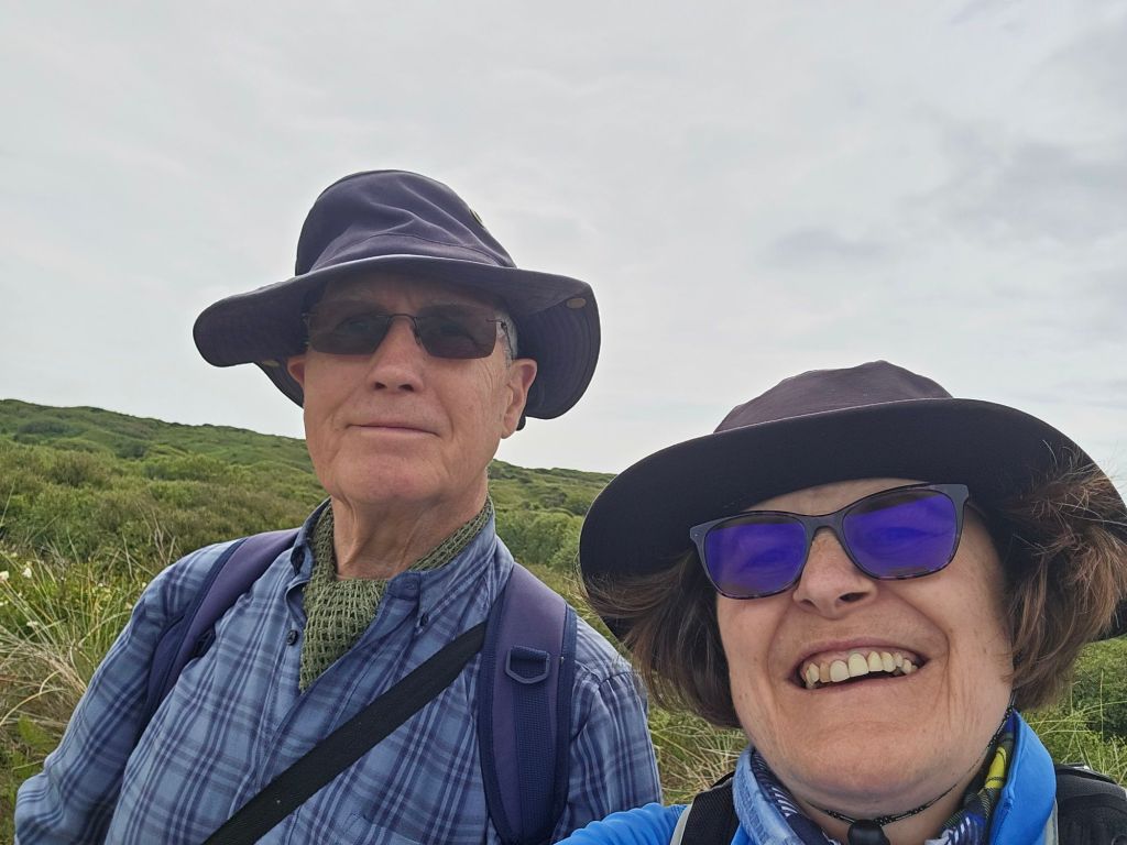
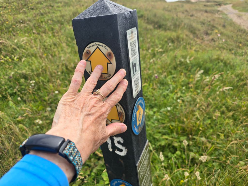
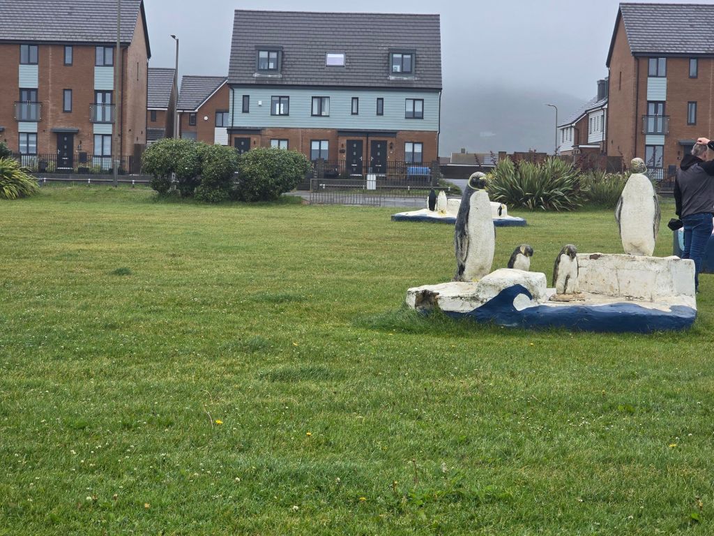
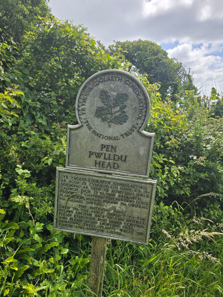
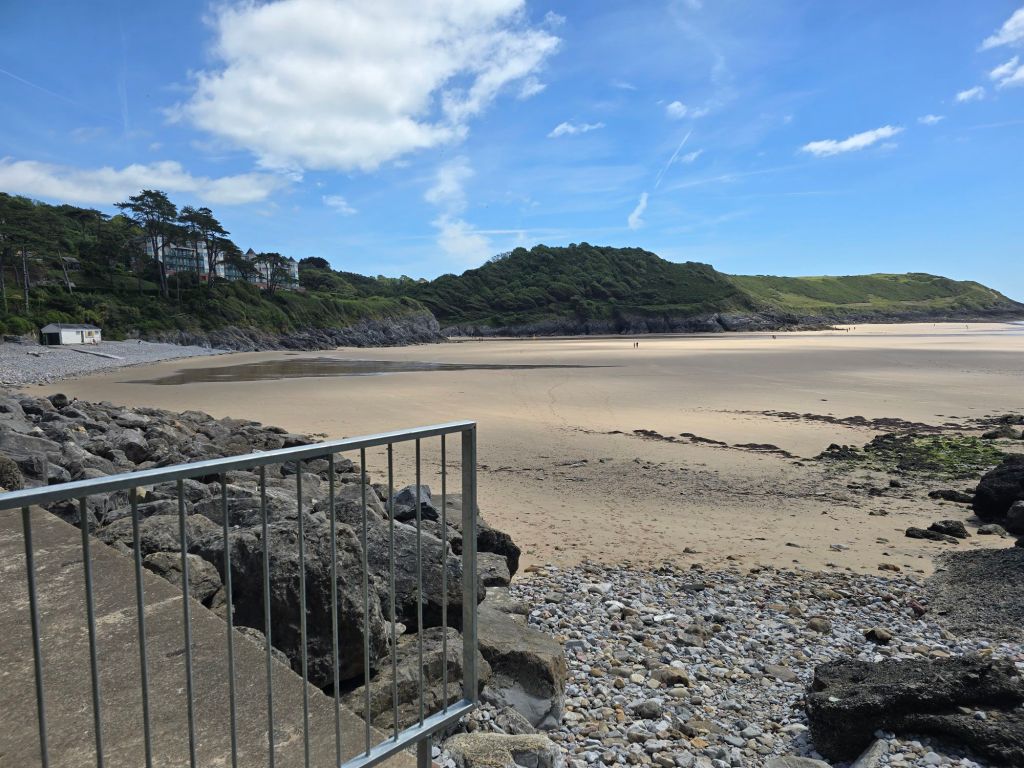
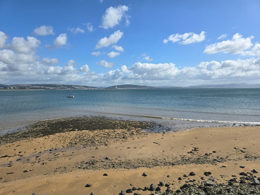
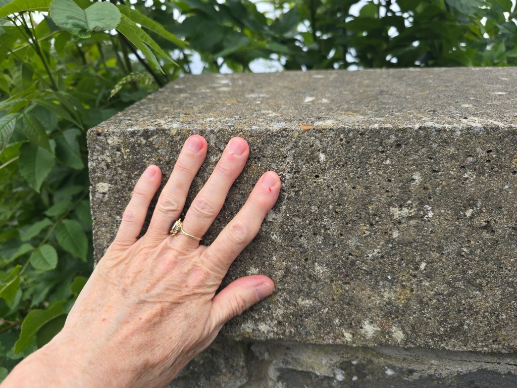
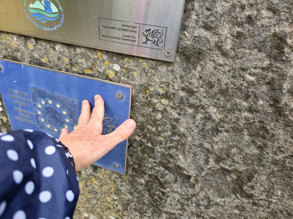
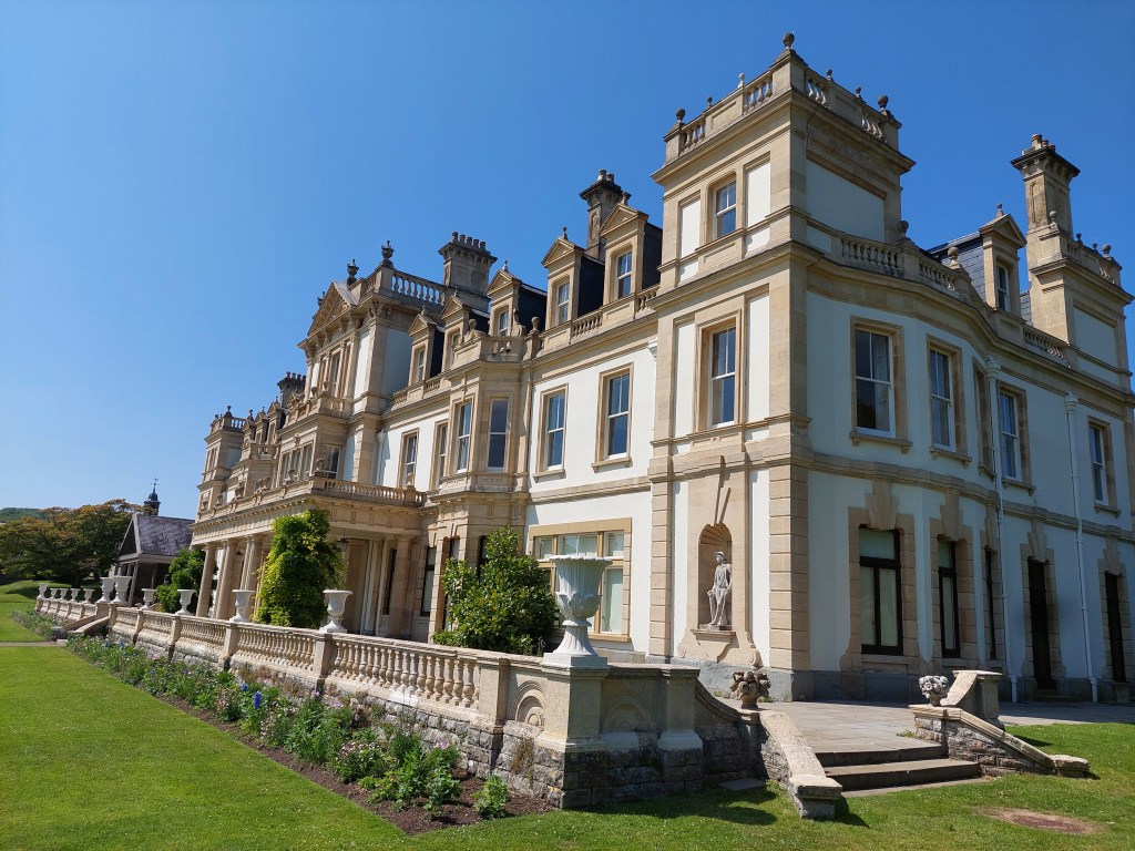
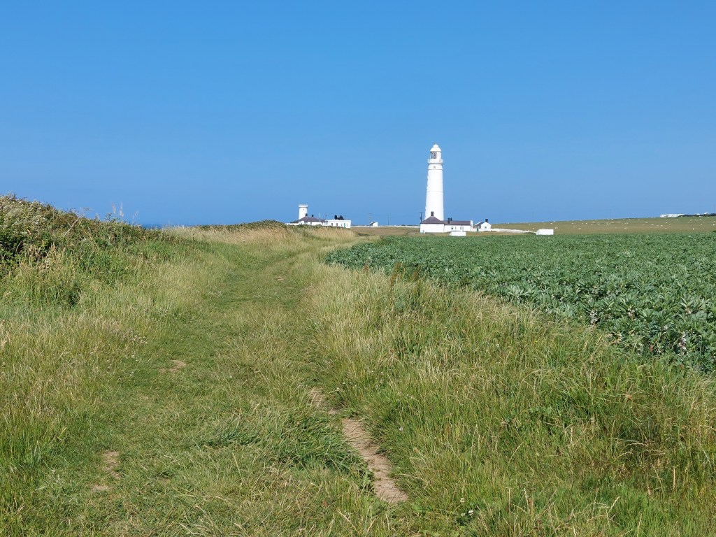
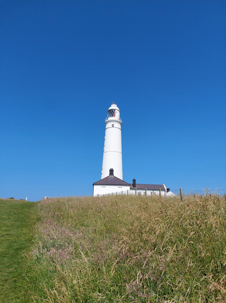
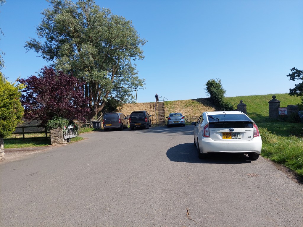
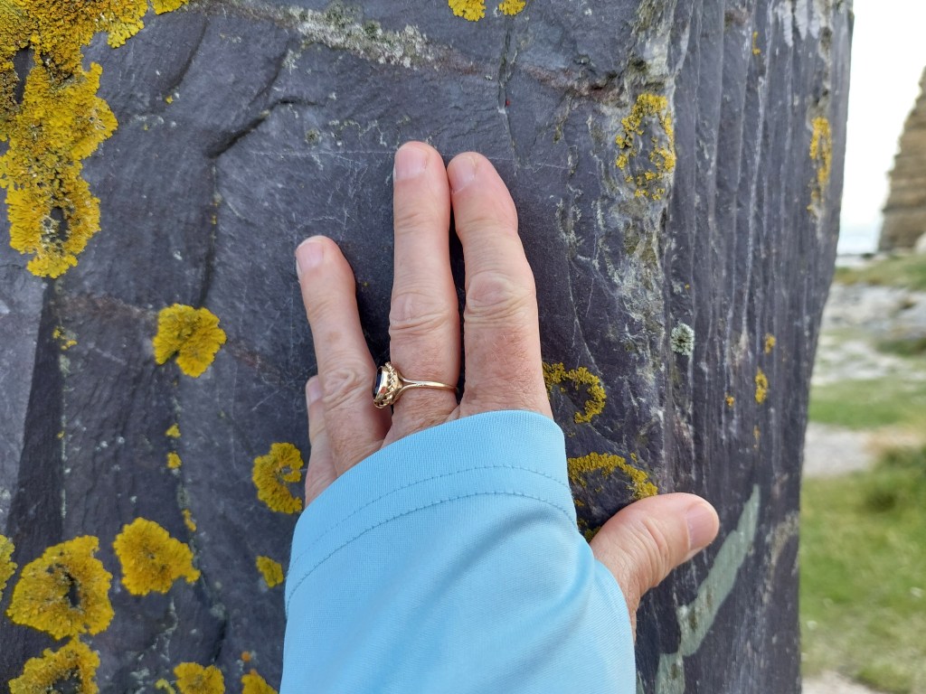
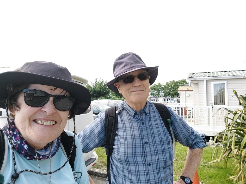
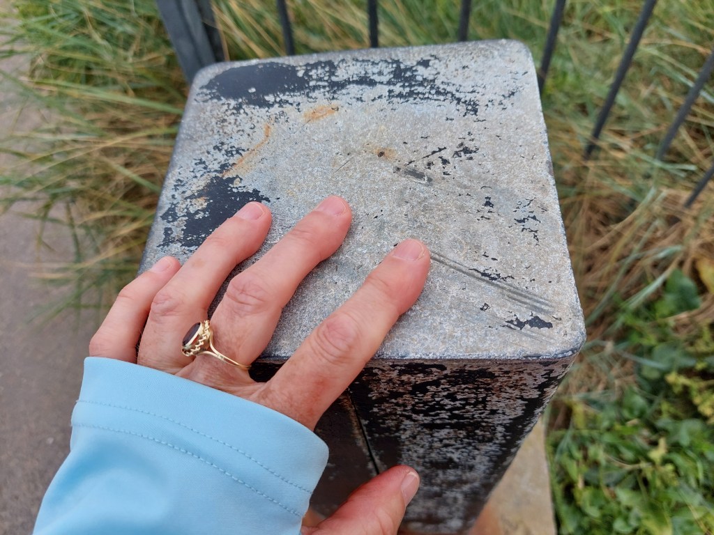
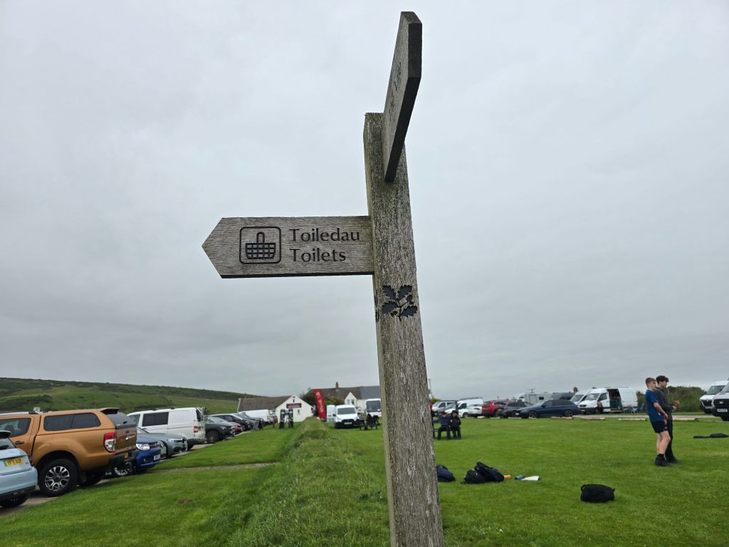
I had a leisurely start and started to prepare for the journey home, and then met an old friend for a long coffee and catch up session. It was very good to reconnect! Then the 30 minute drive to Rhossili. This turned out to be where I had visited on the Gower on placement back in 2003. The National Trust car park was busy and the clouds on the horizon were looking ominous. However I set off having established a touching point in the car park on the trail! This was about 12:30
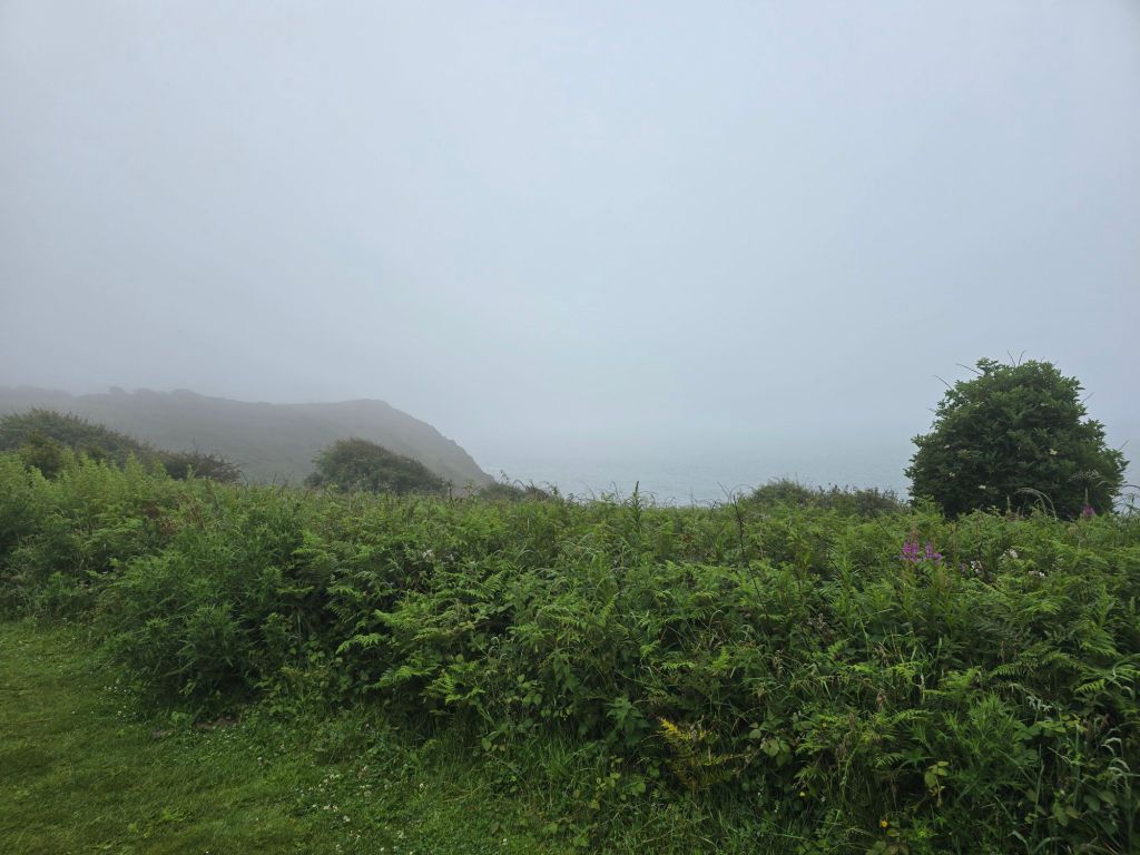
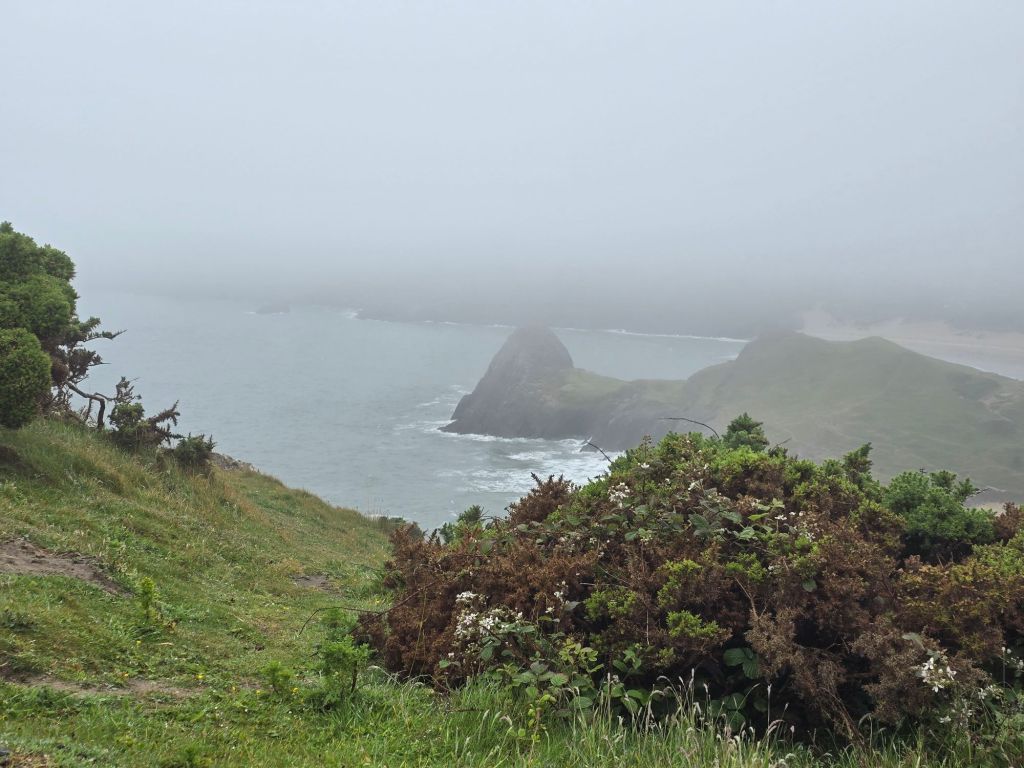
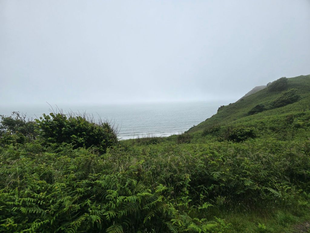
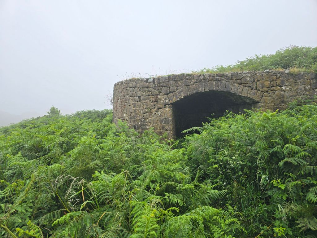
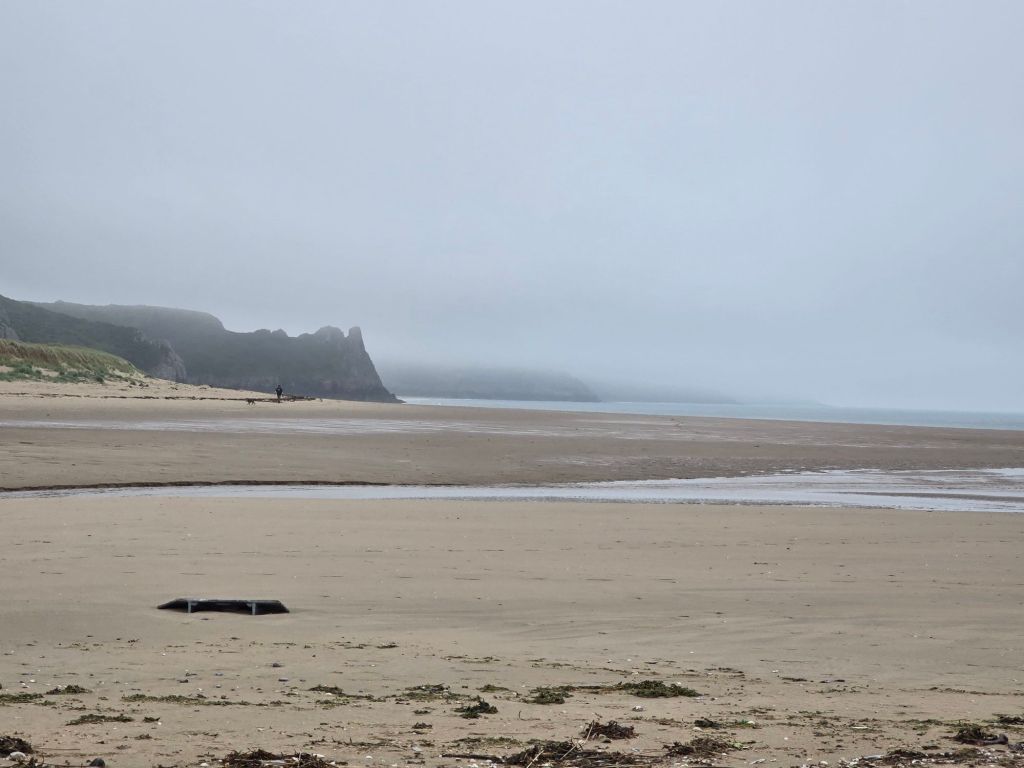
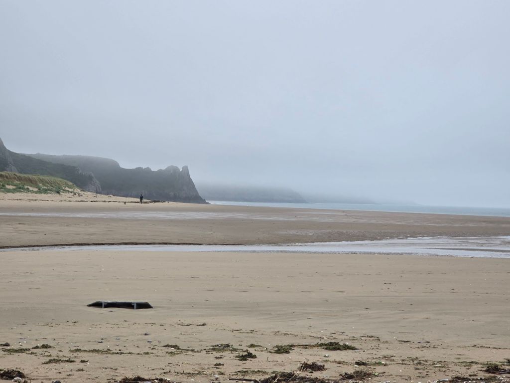
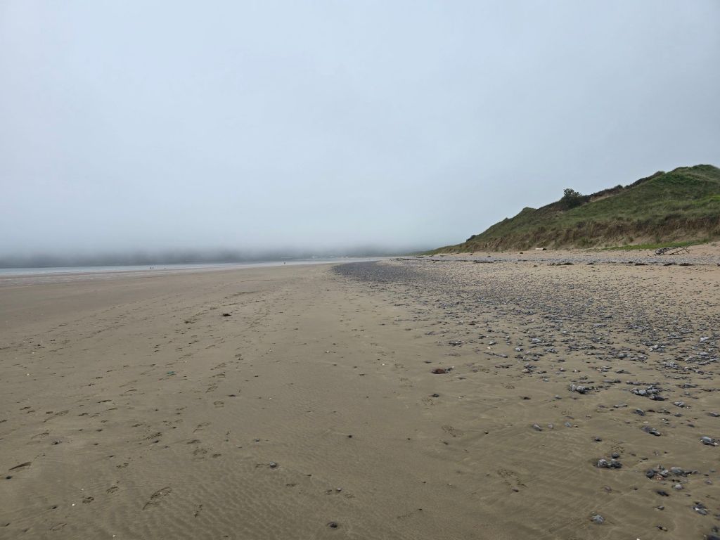
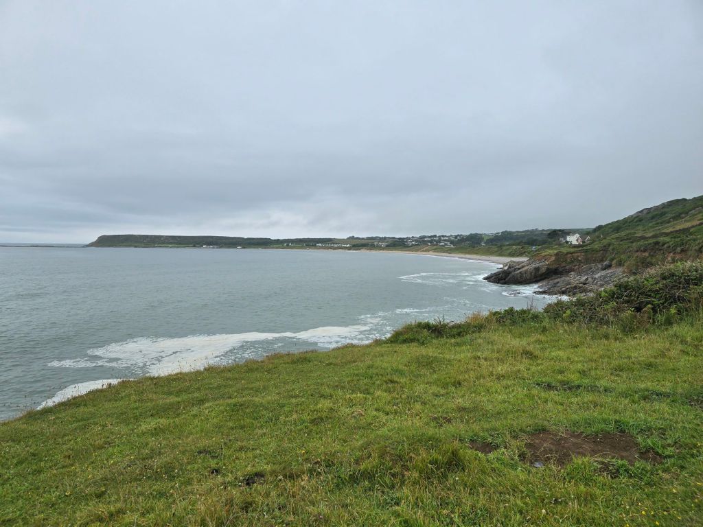
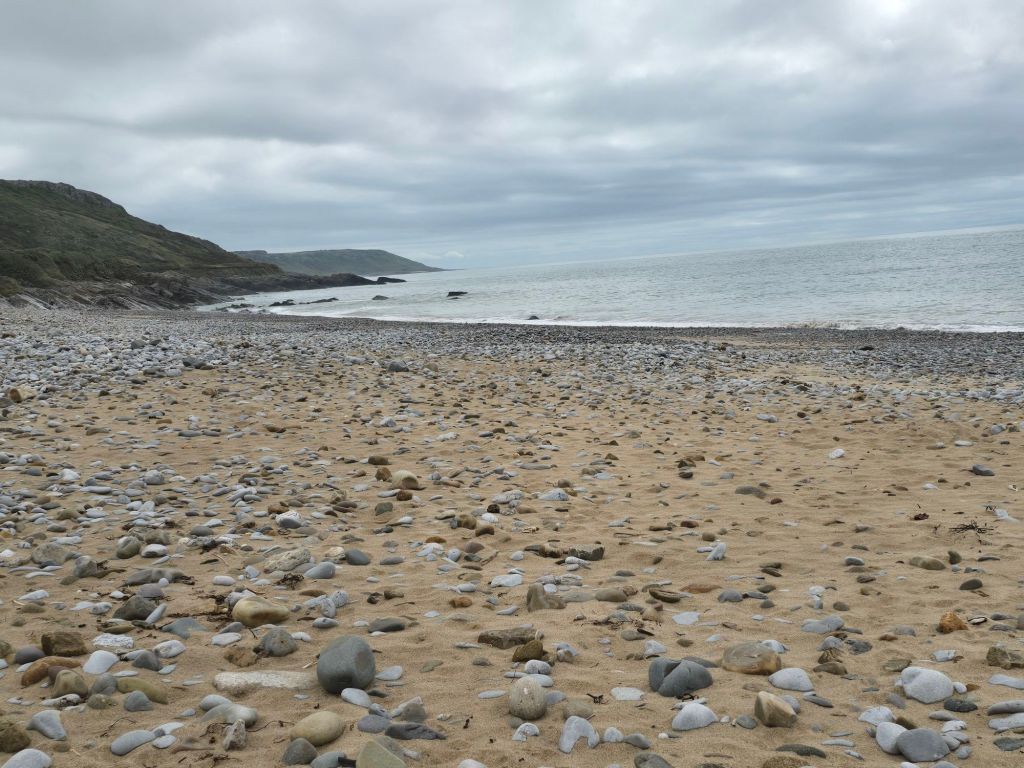
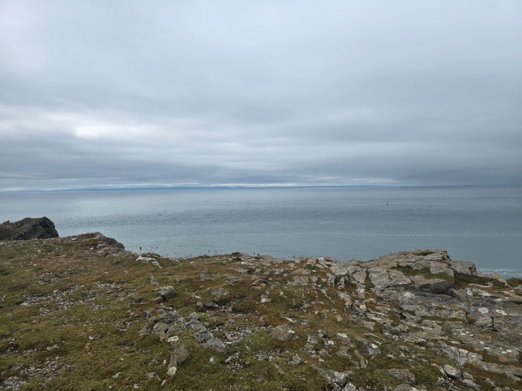
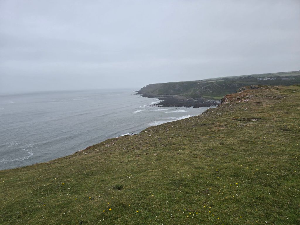
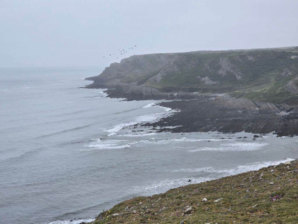
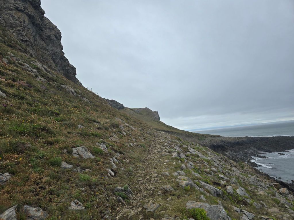
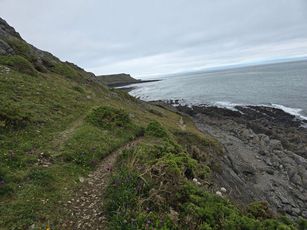
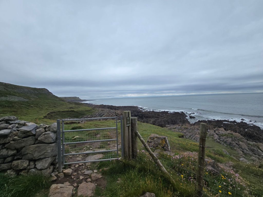
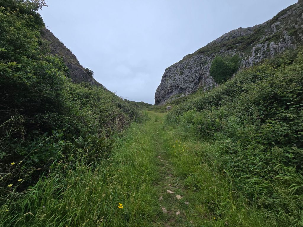
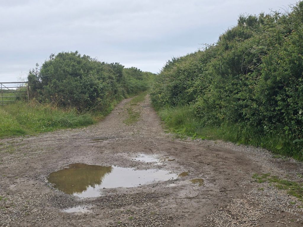
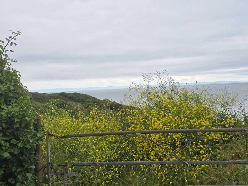
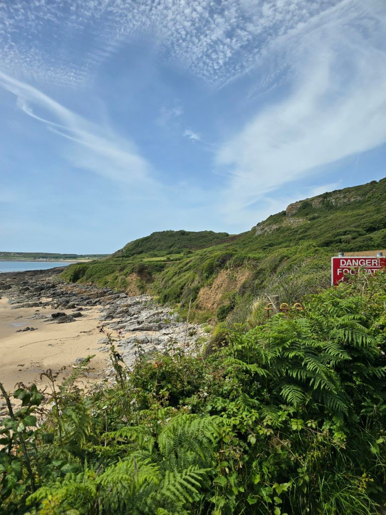
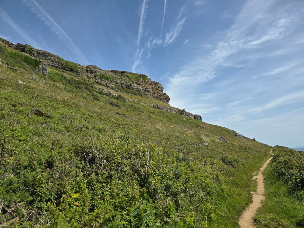
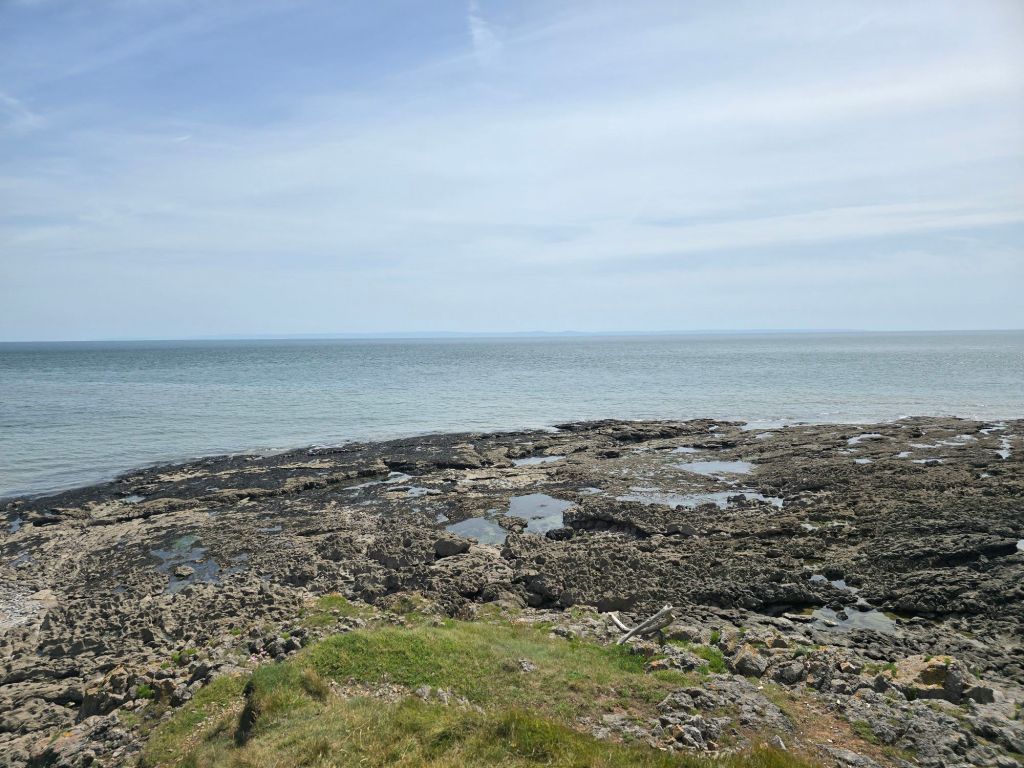
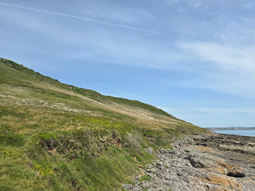
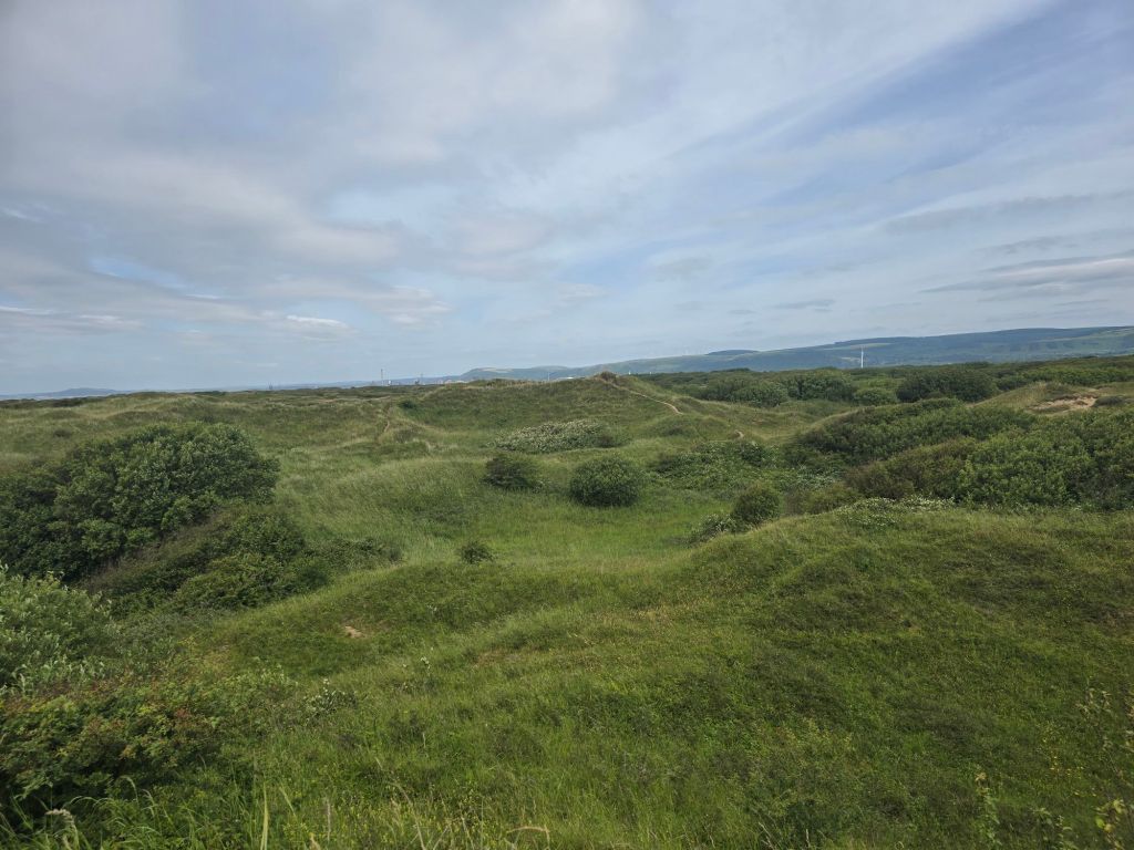
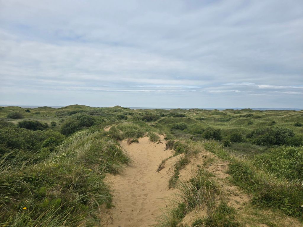
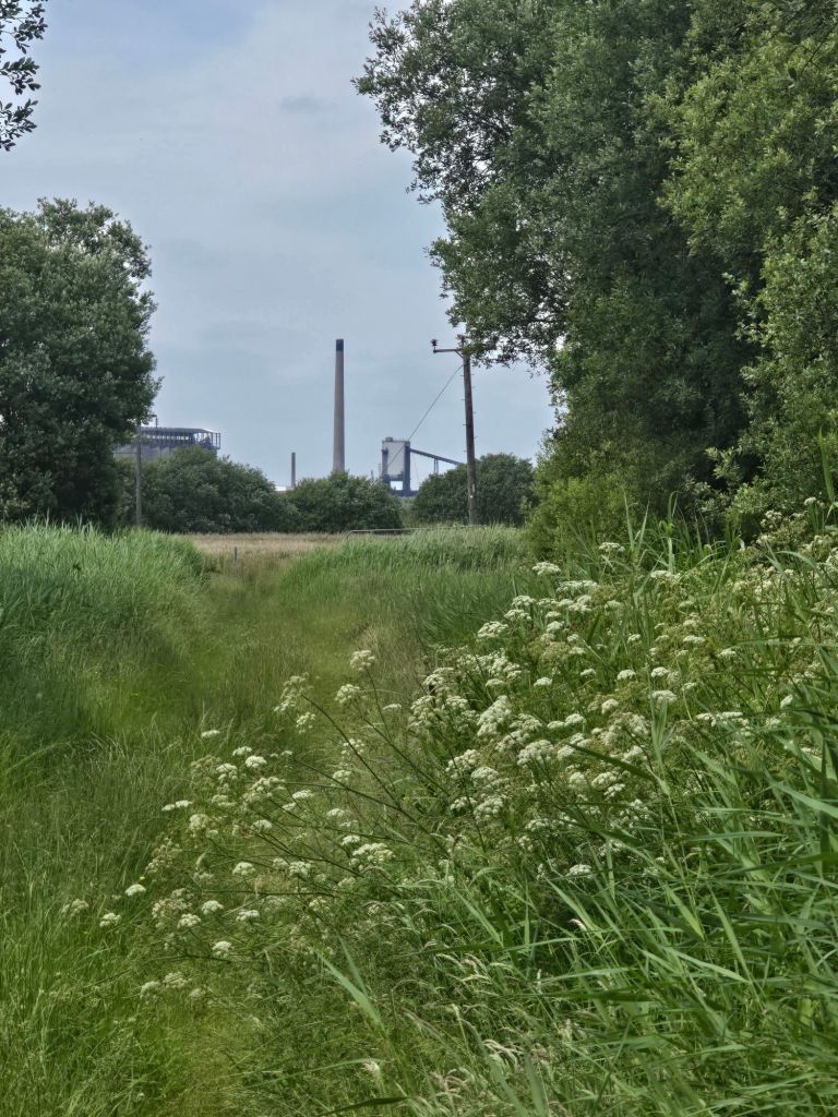
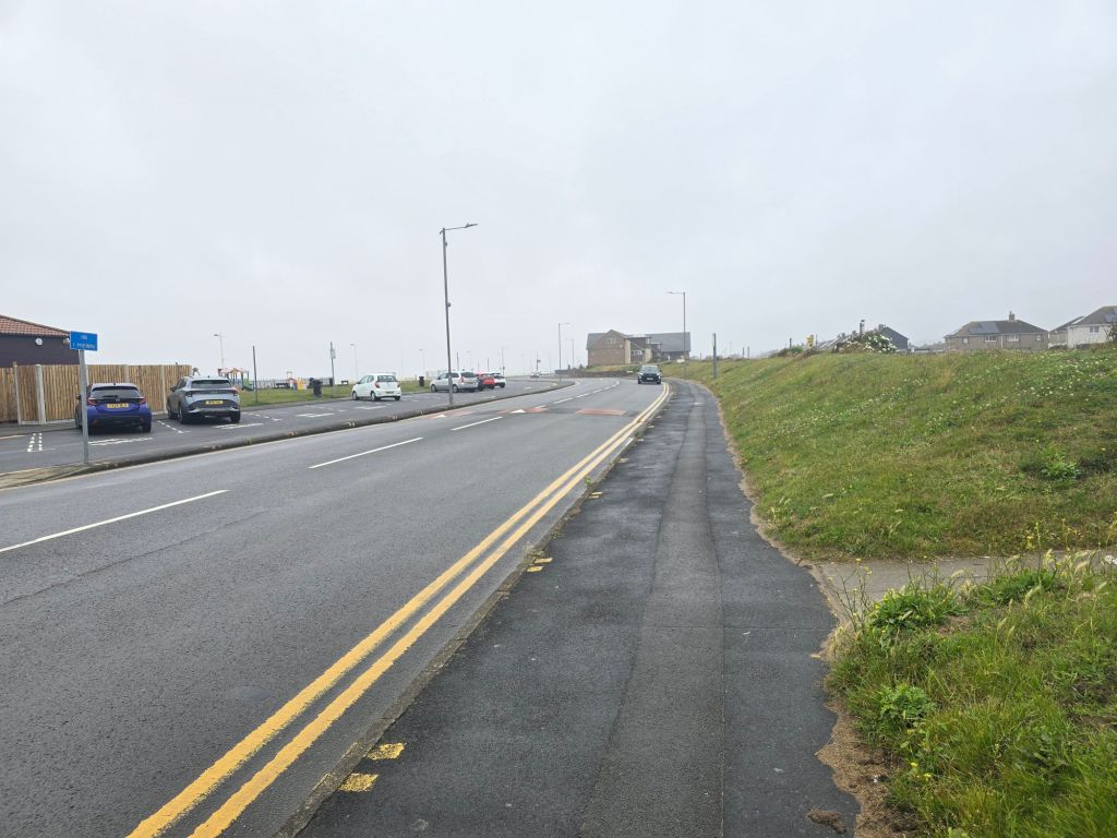
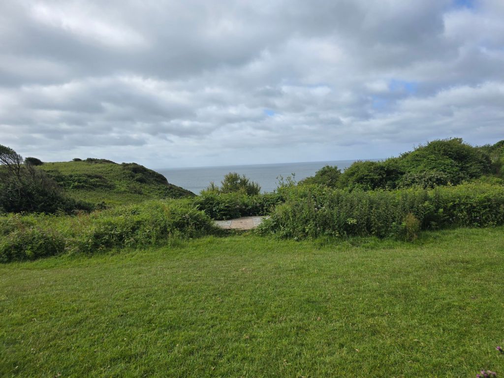
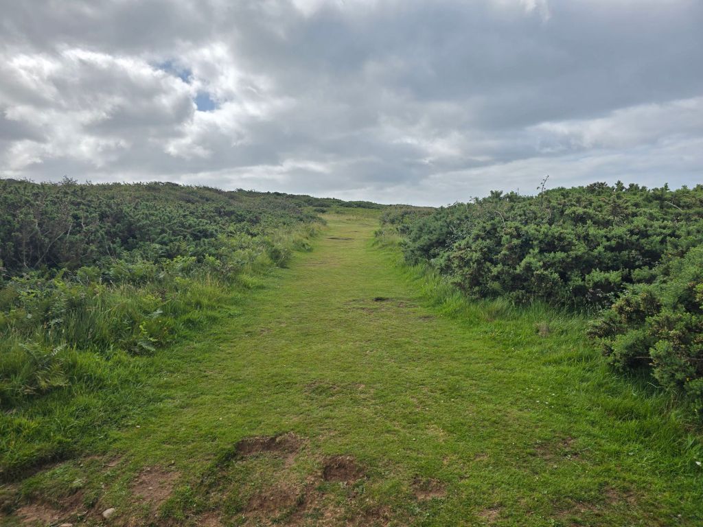
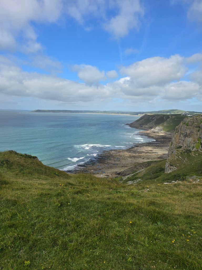
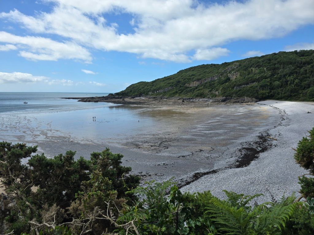
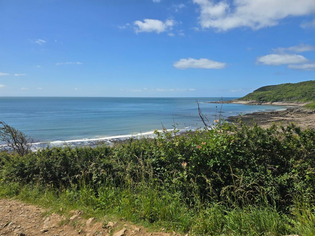
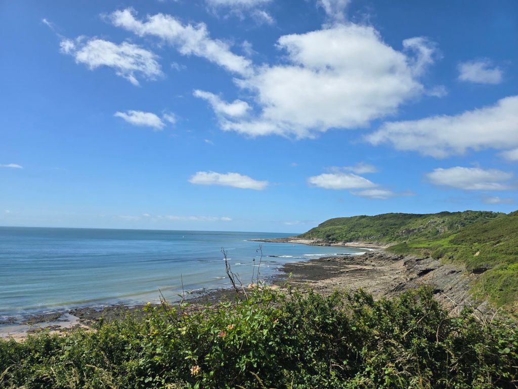
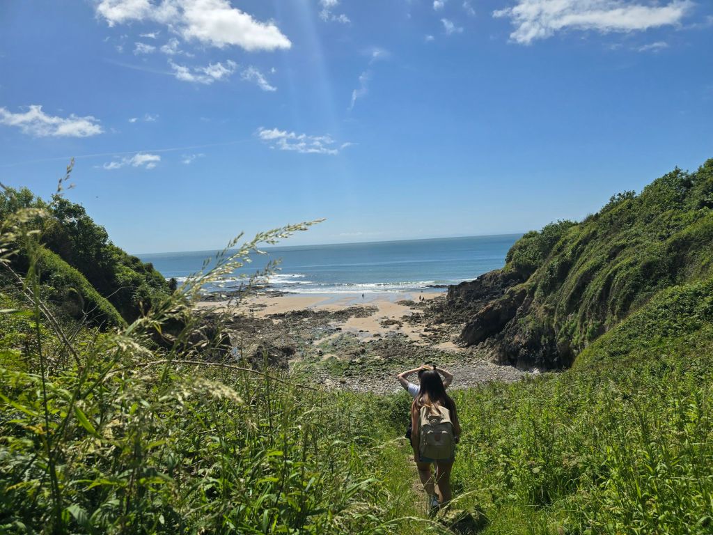
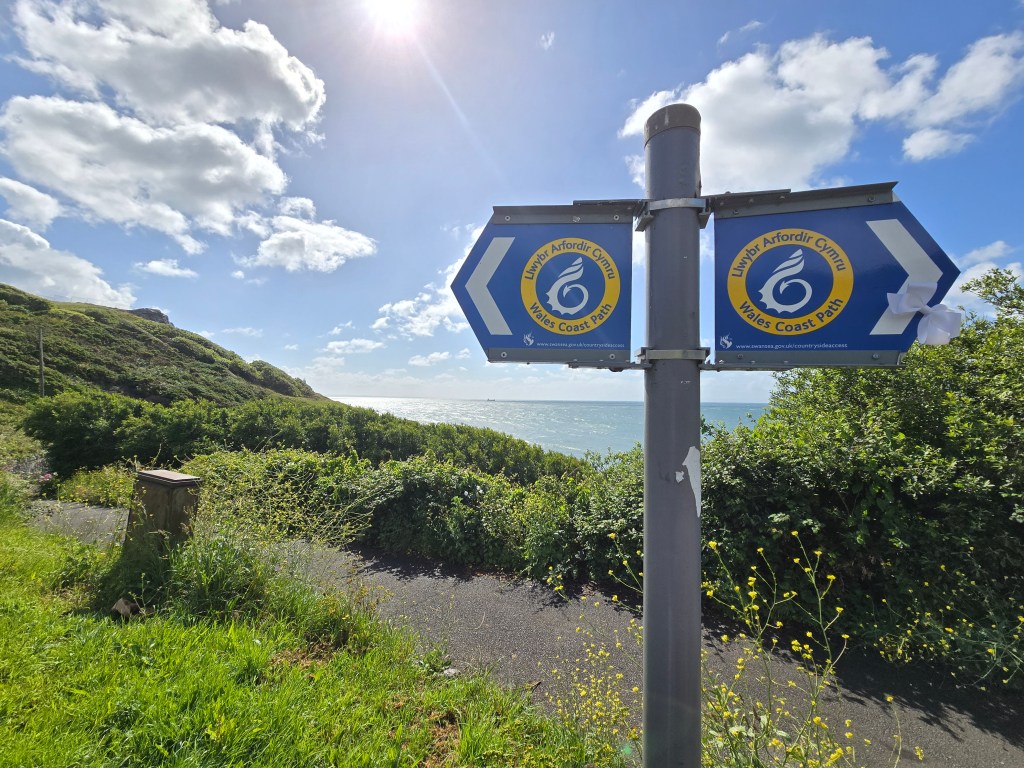
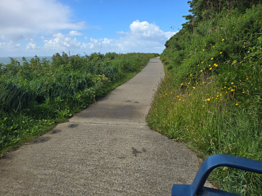
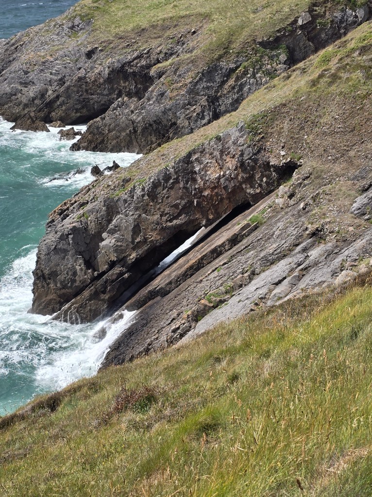
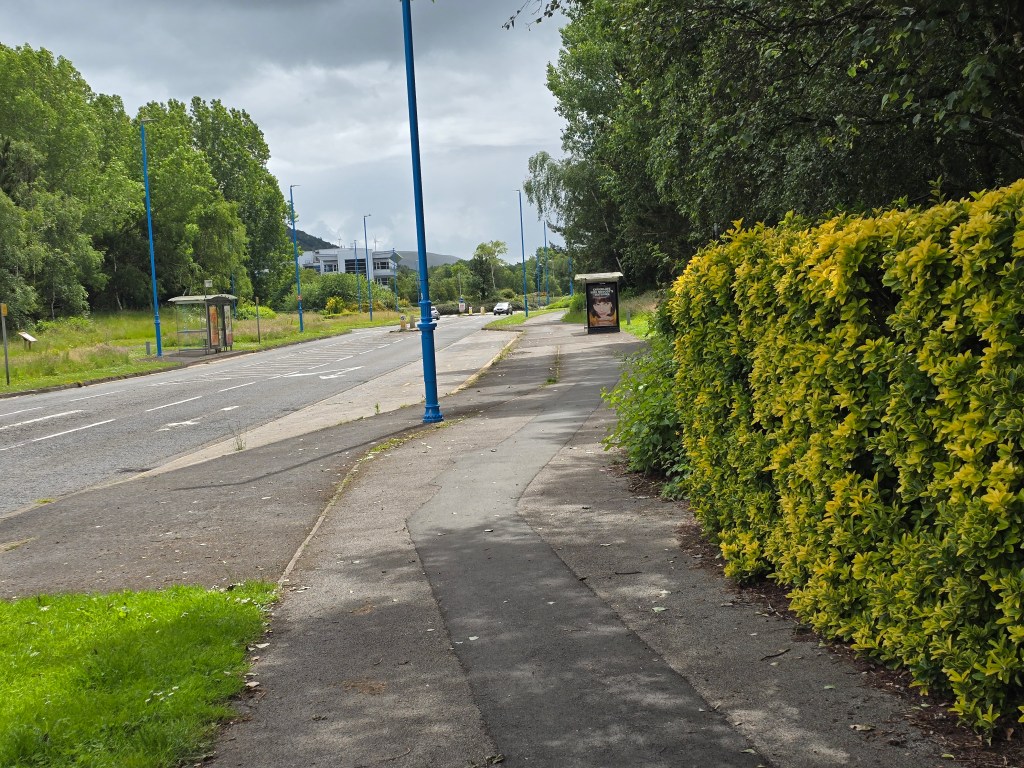
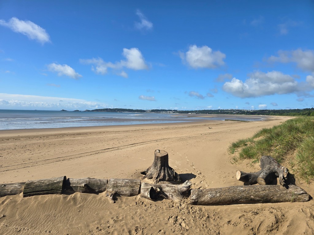
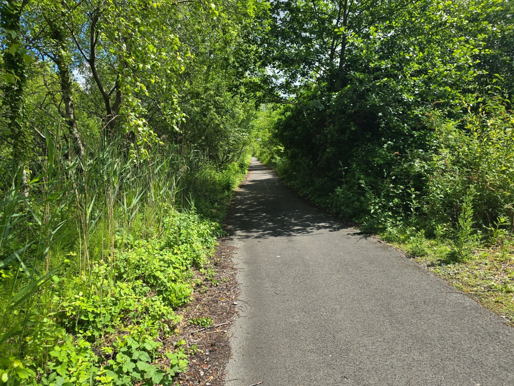
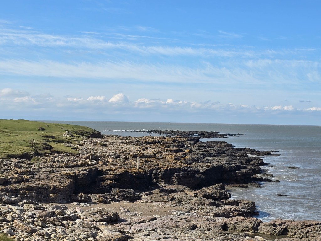
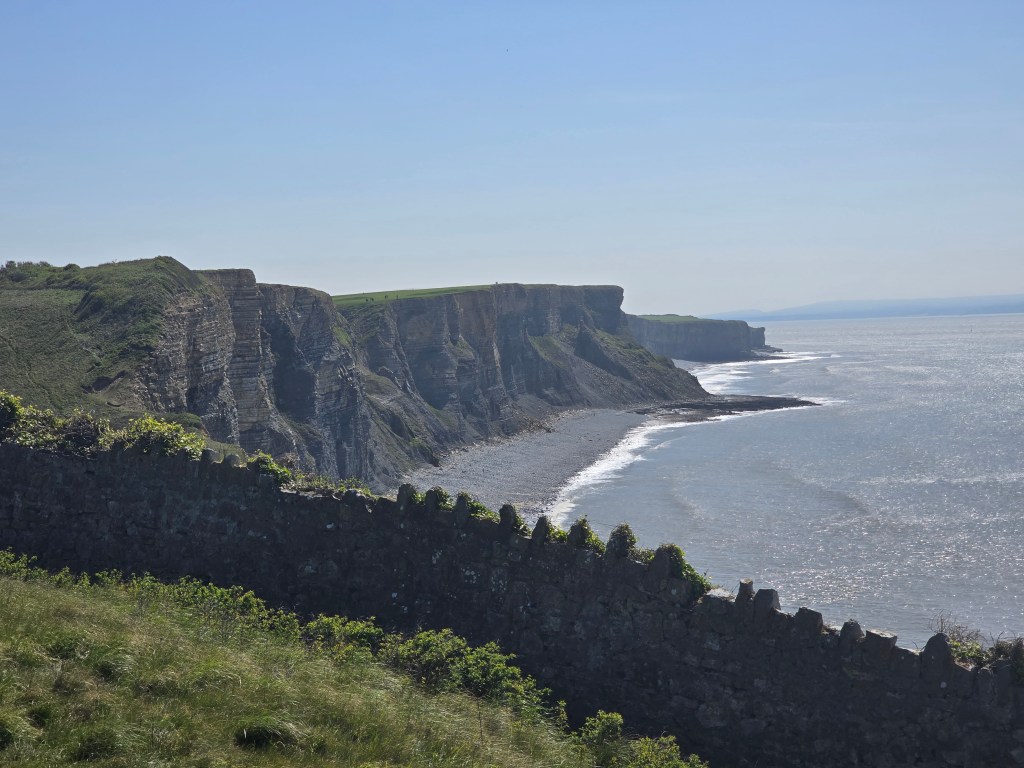
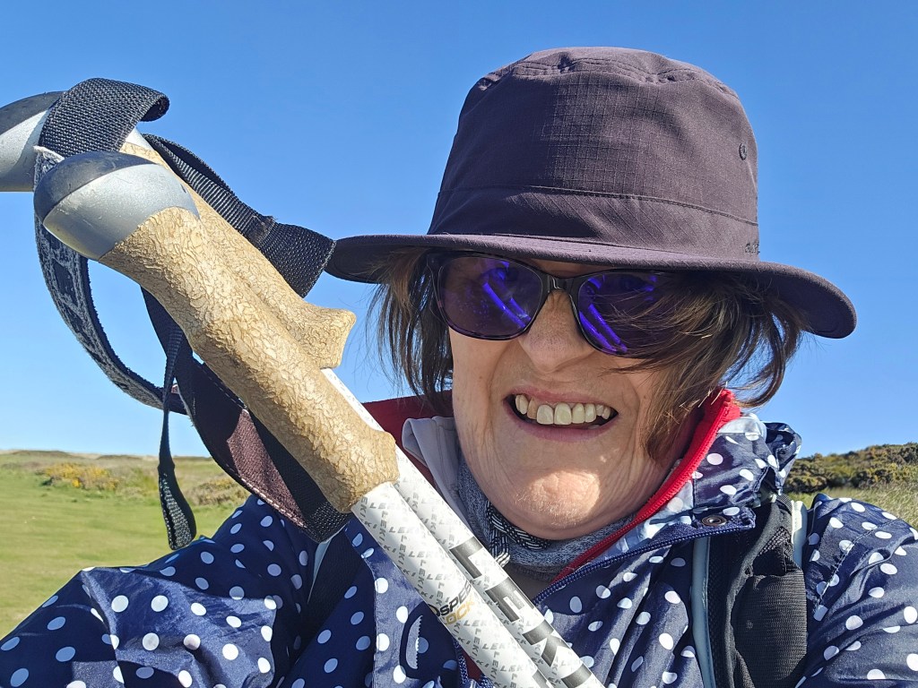
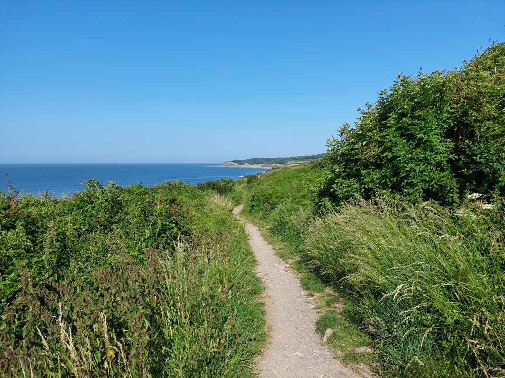
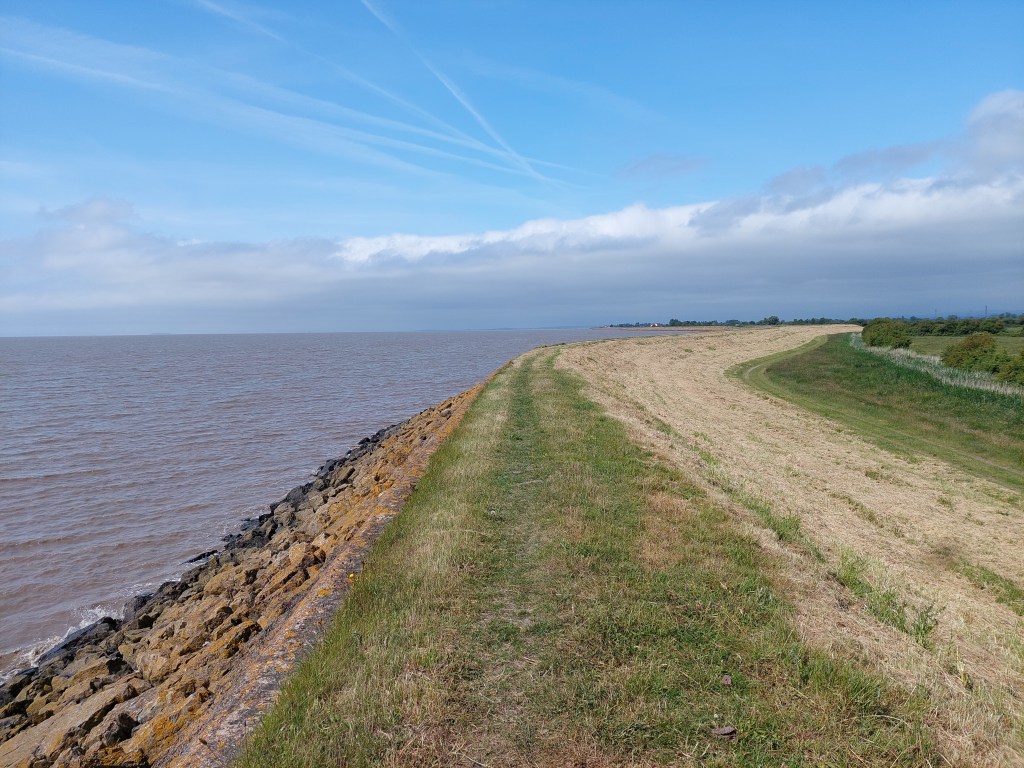
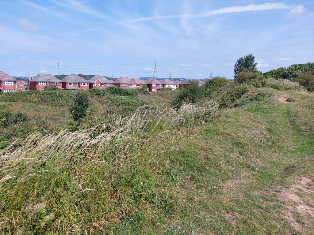
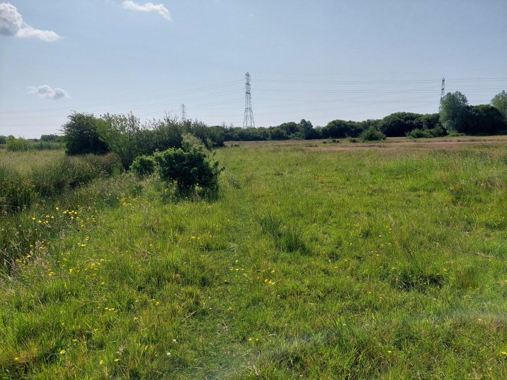
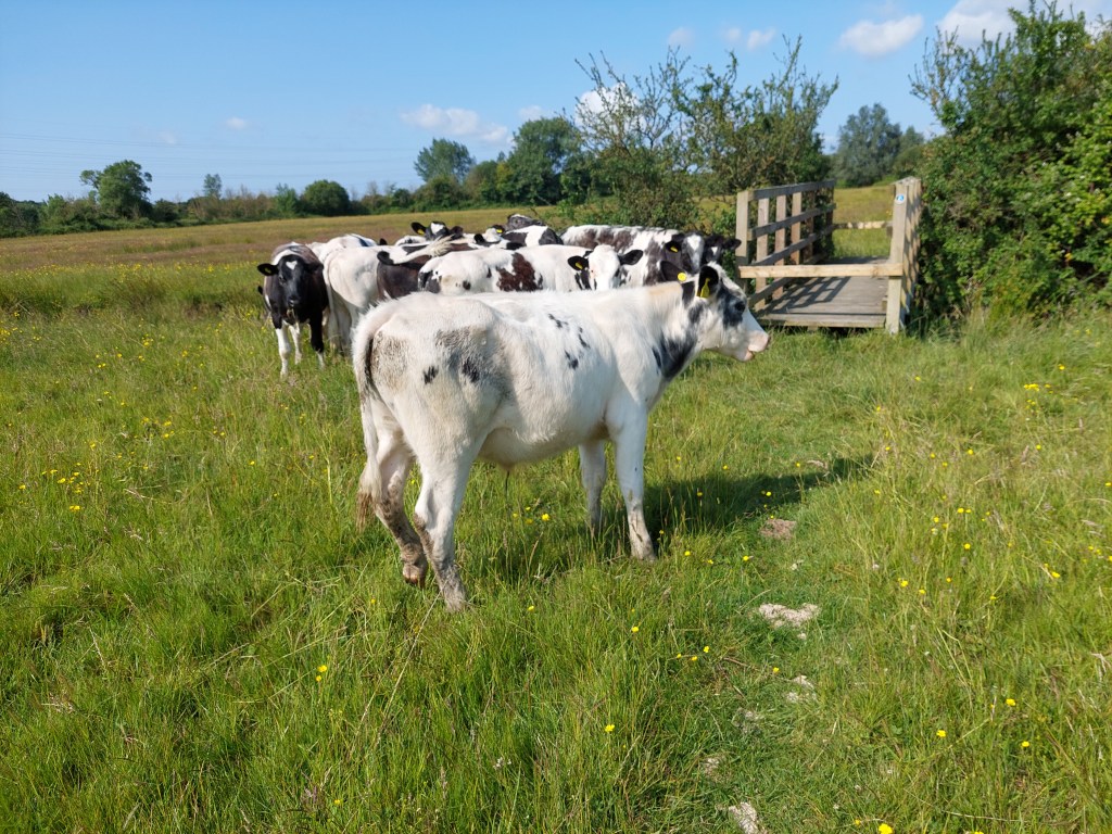
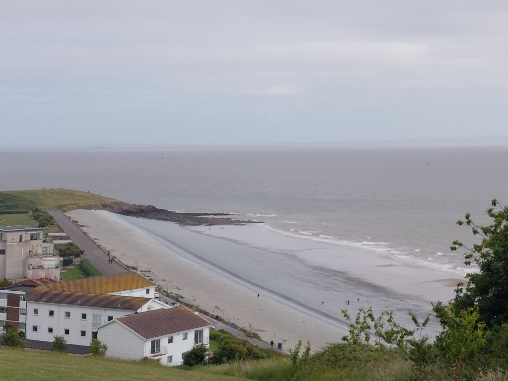
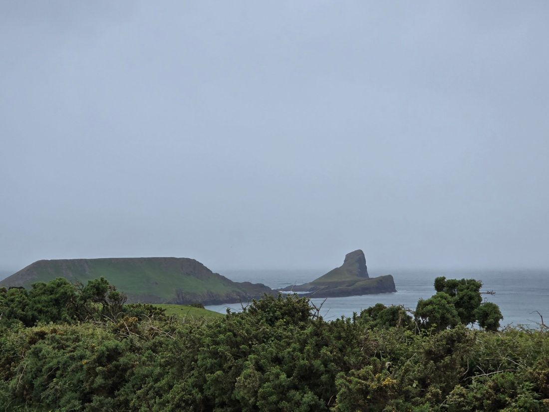
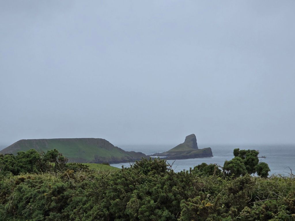
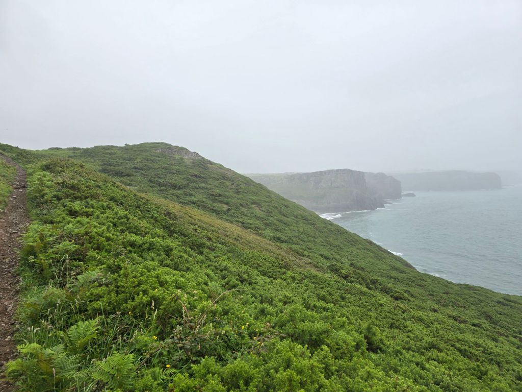
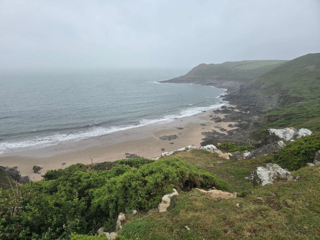
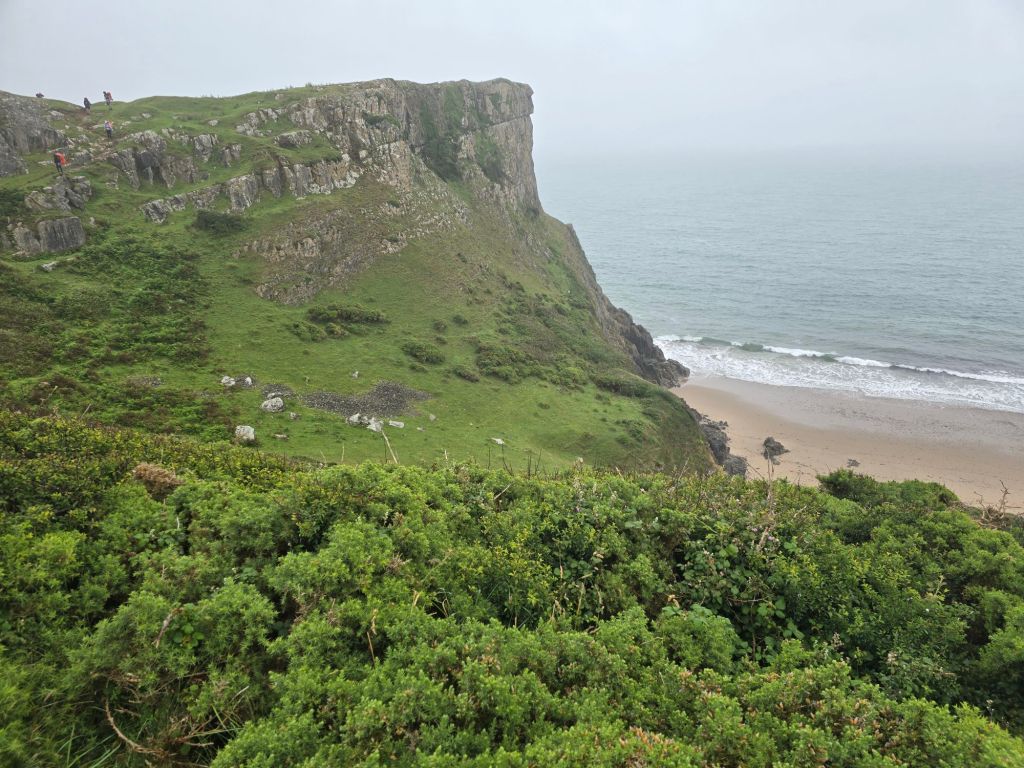
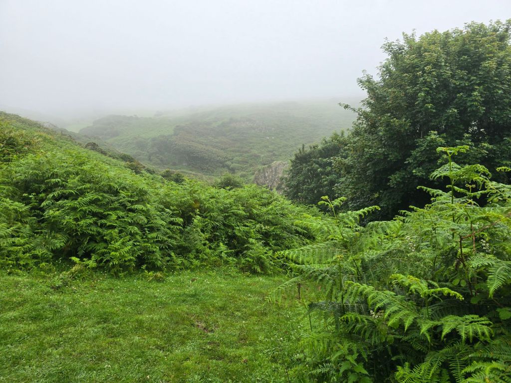
It was very busy for the first ½ a mile and a very easy path. I was a bit entangled with a school party and later saw the inevitable Duke of Edinburgh groups. It was a relief when I overtook the first lot – they were filling in a questionnaire as they went rather than me being speedy. After about 10 minutes it was drizzling so I put waterproofs on and hoped for the best. By the time I turned the corner on the headland looking over towards Worm’s head it was raining quite hard. I decided to carry on for a bit and see how it all went.
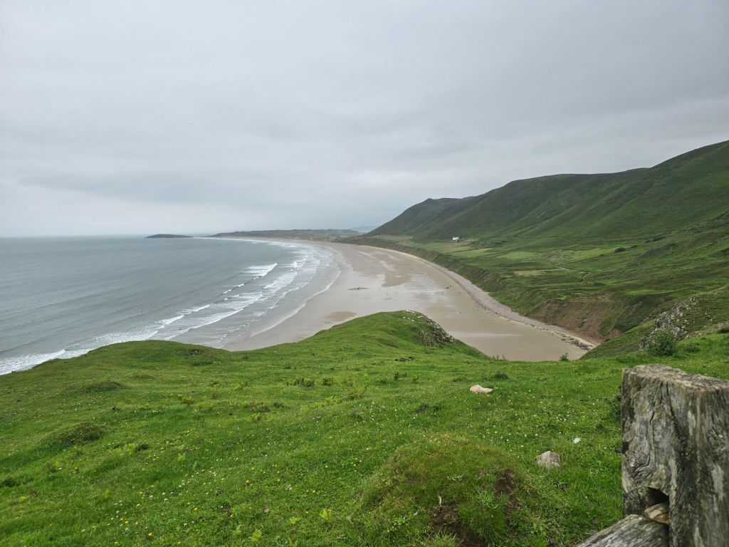
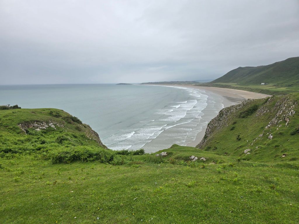
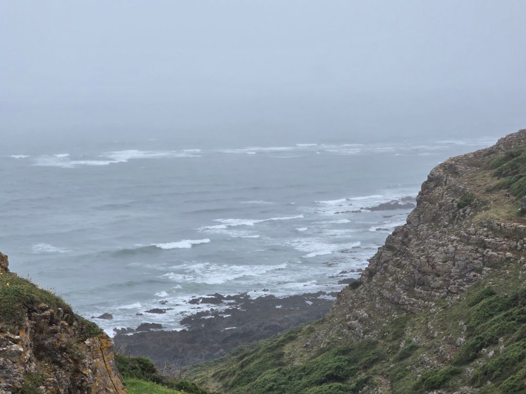
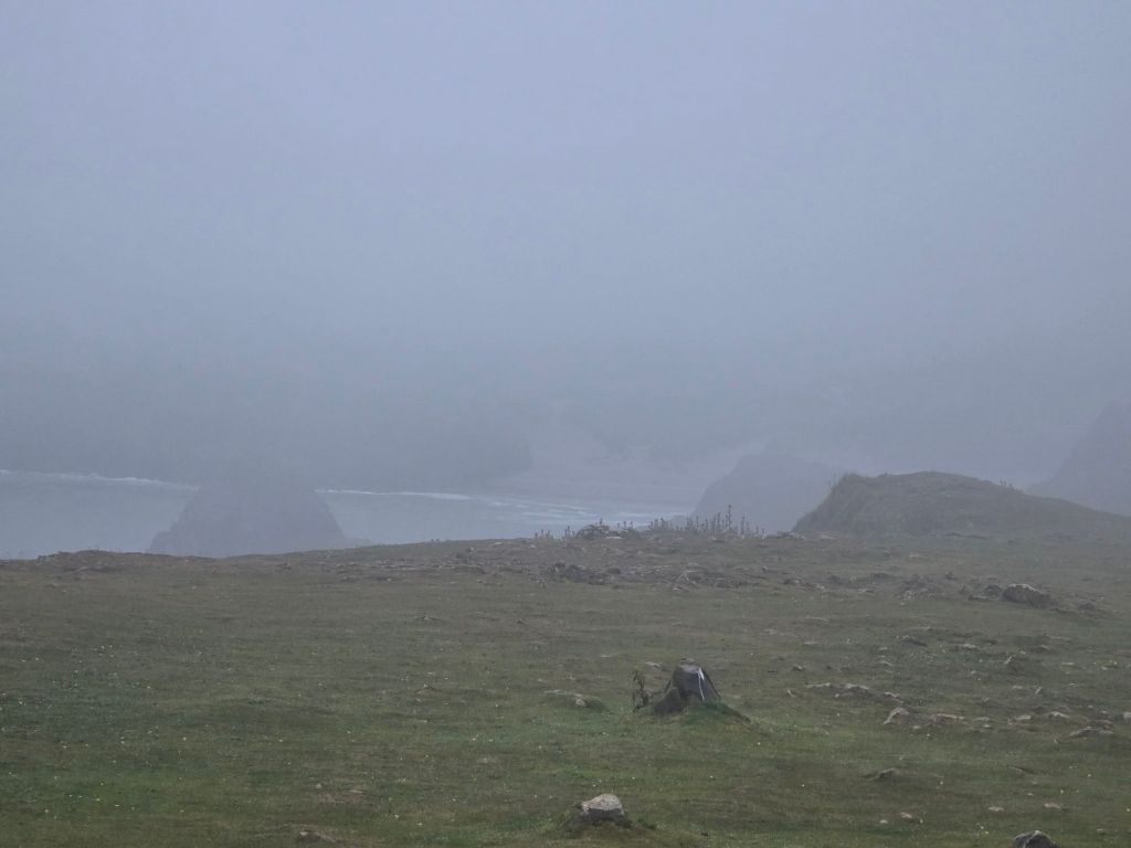
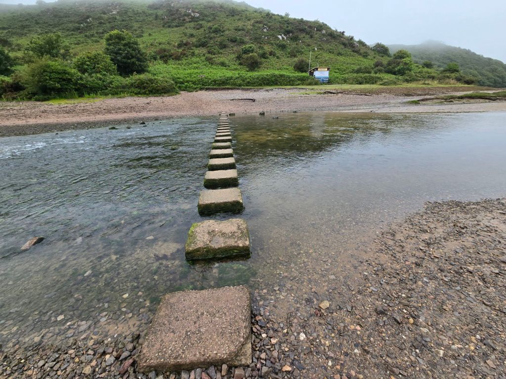
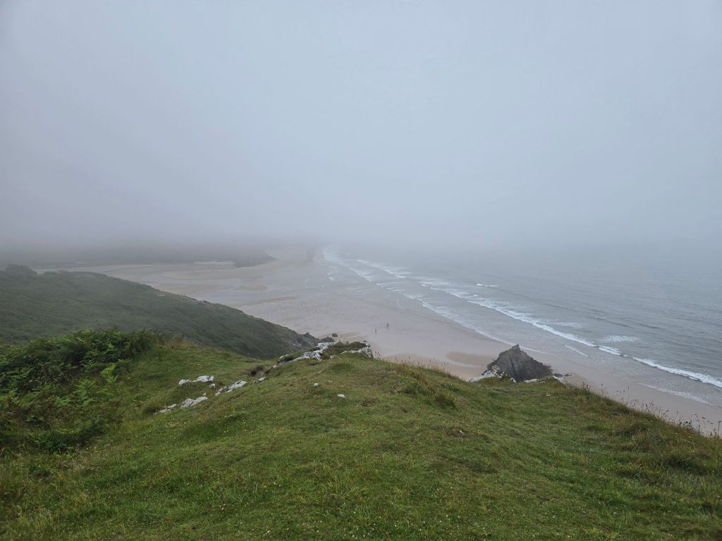
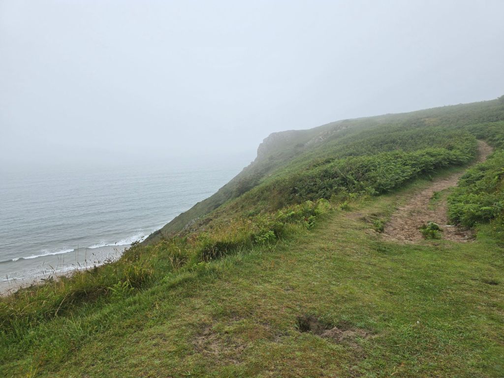
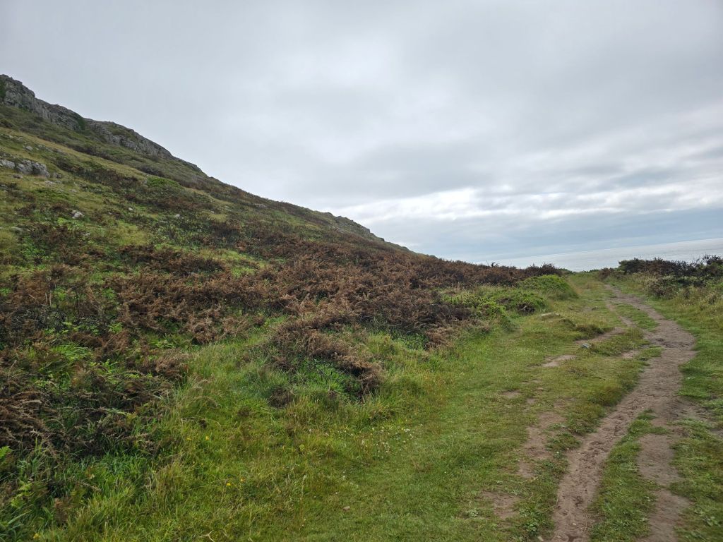
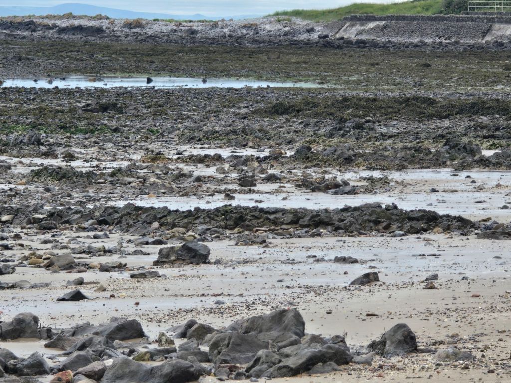
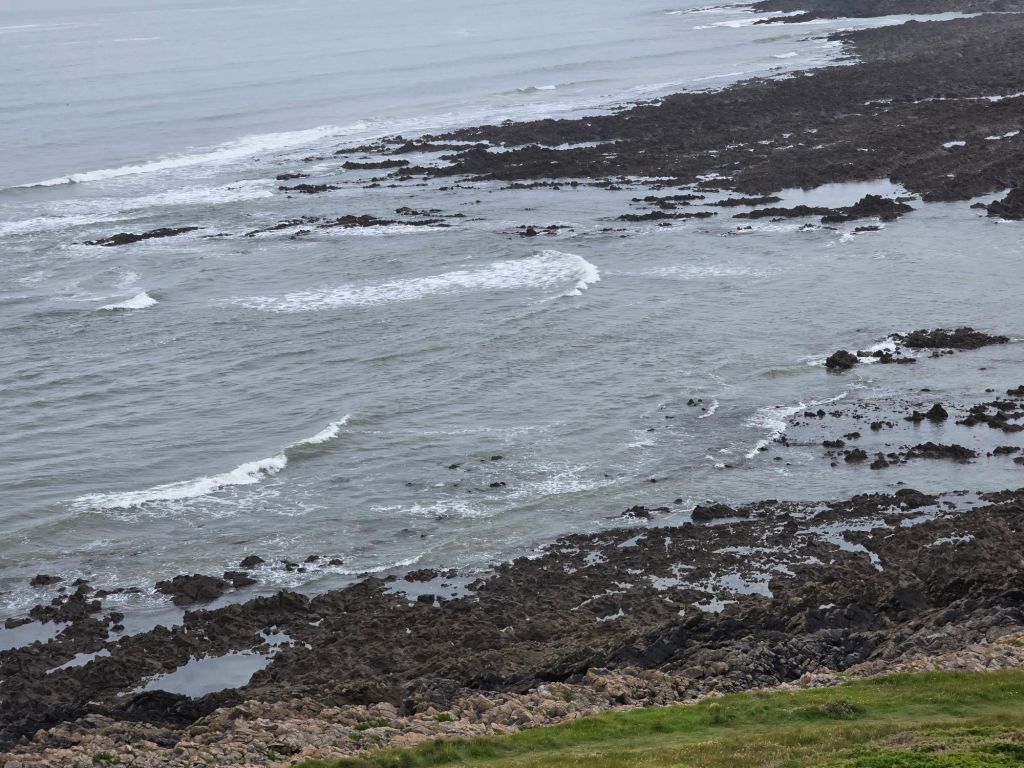
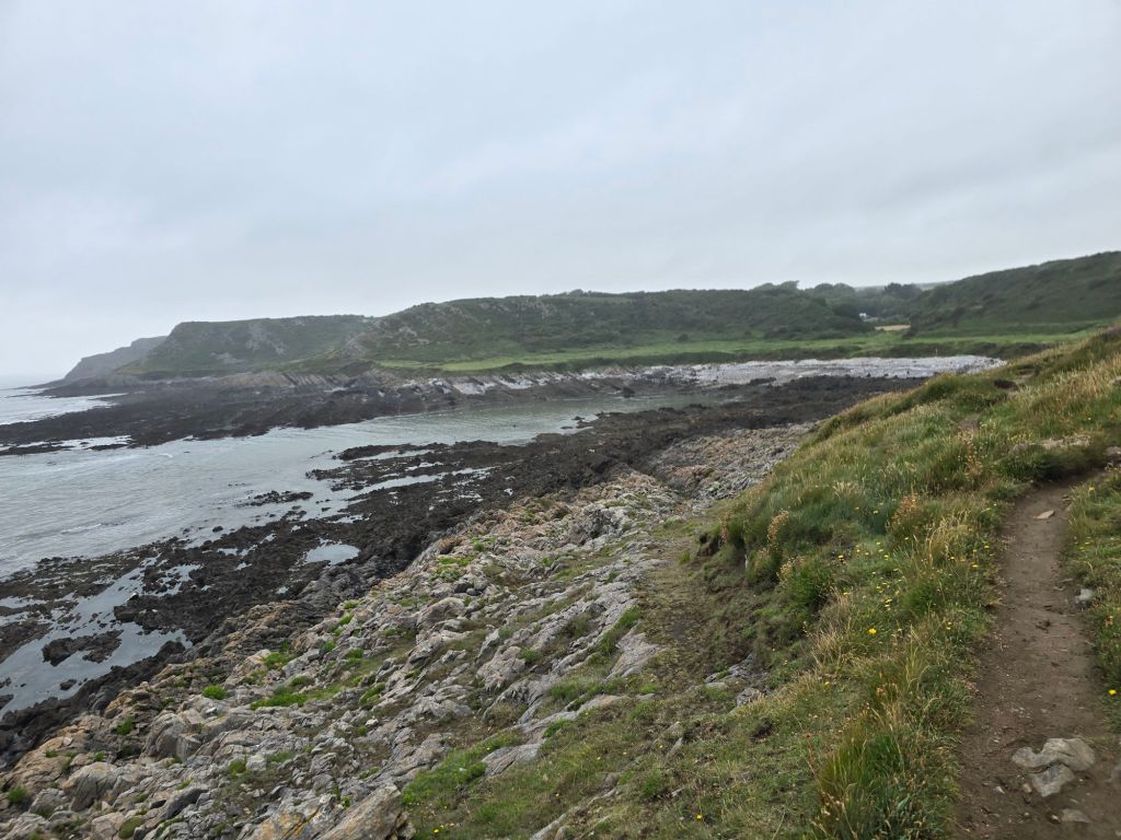
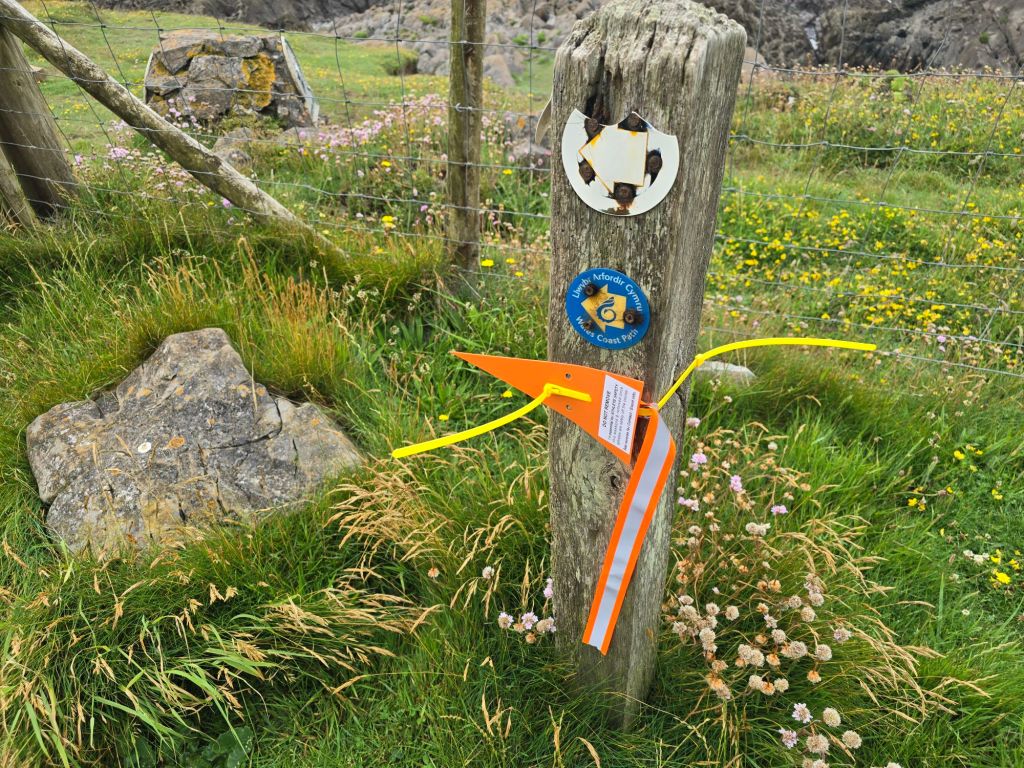
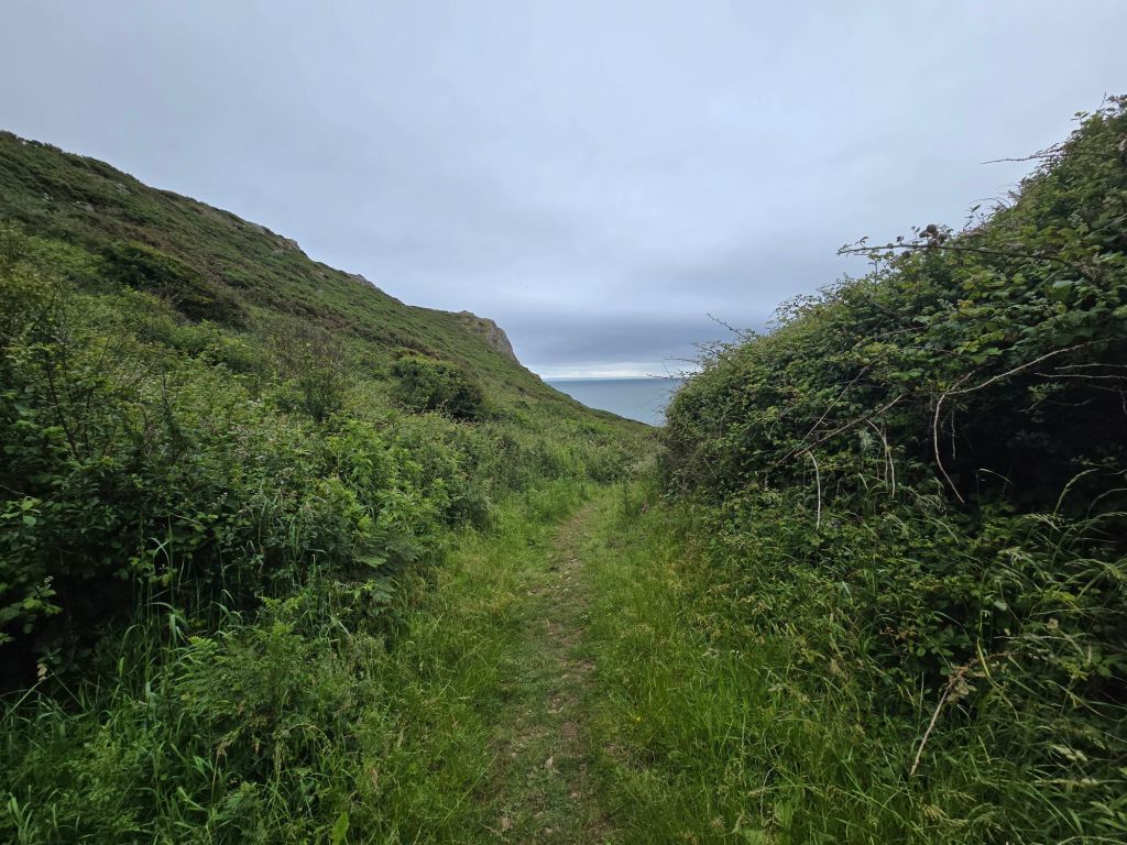
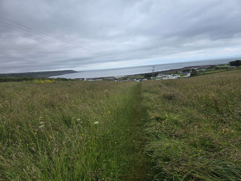
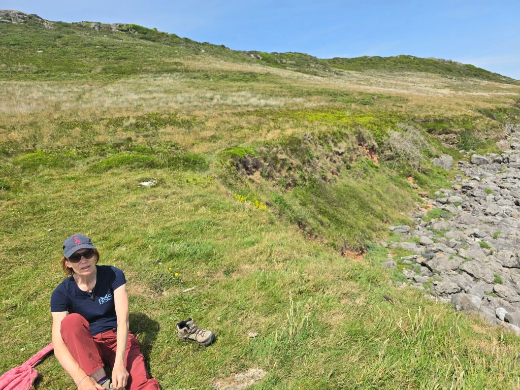
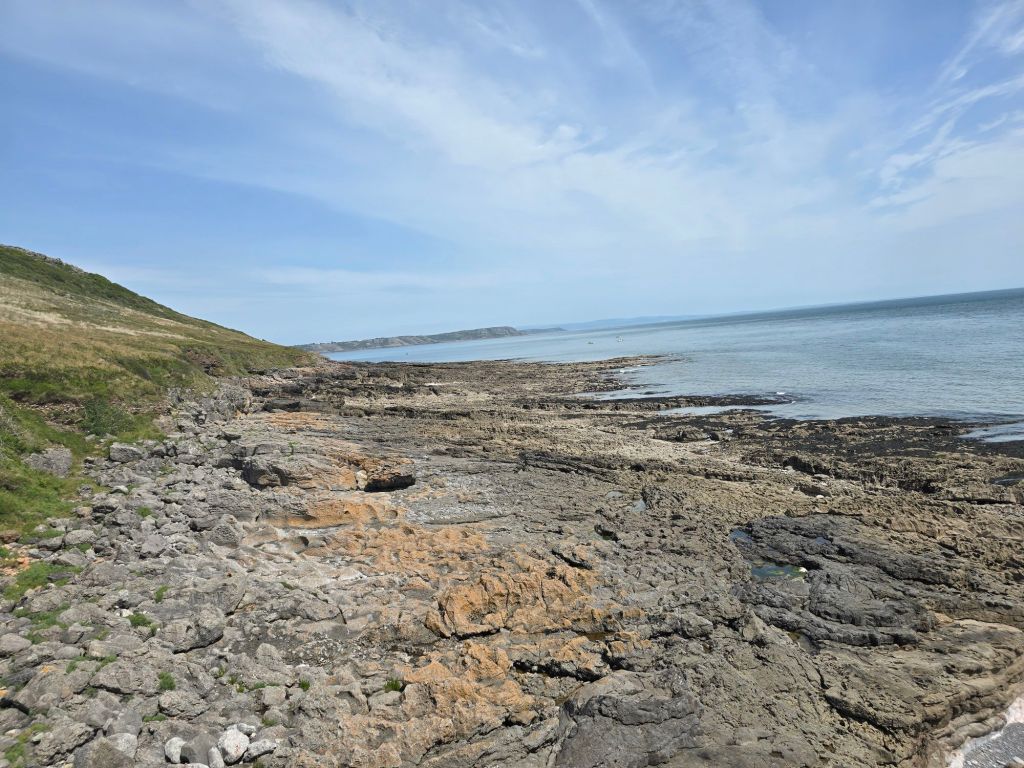
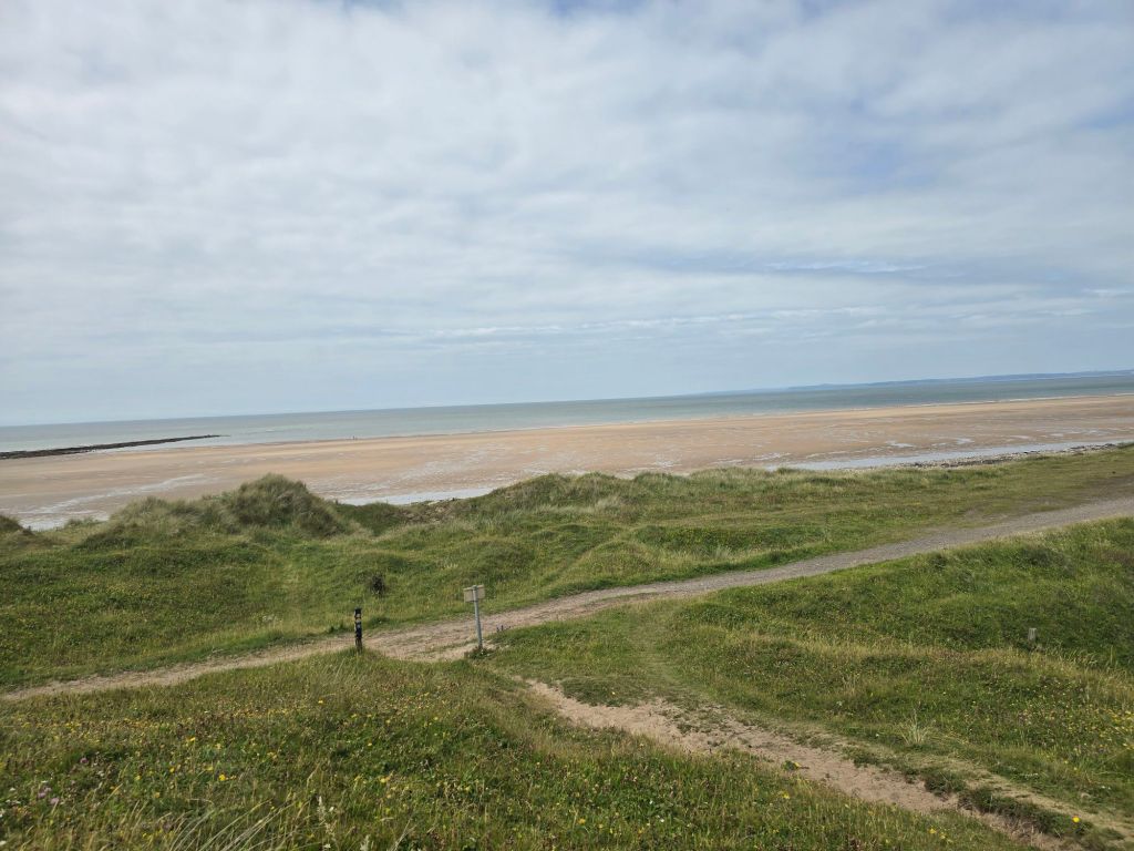
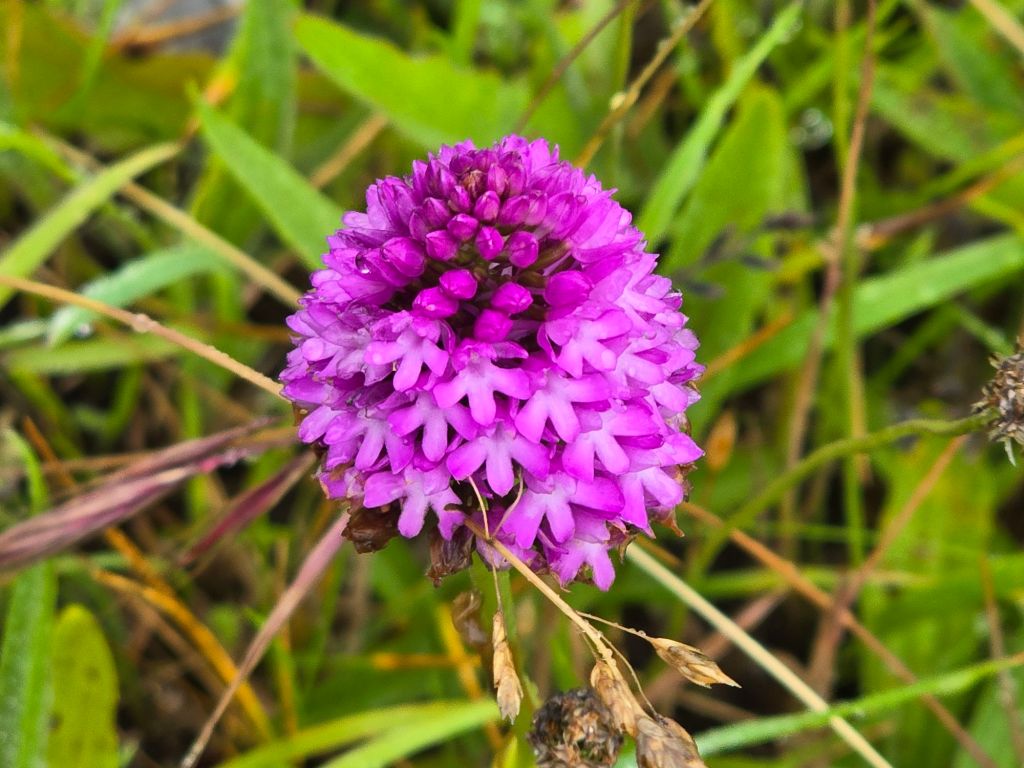
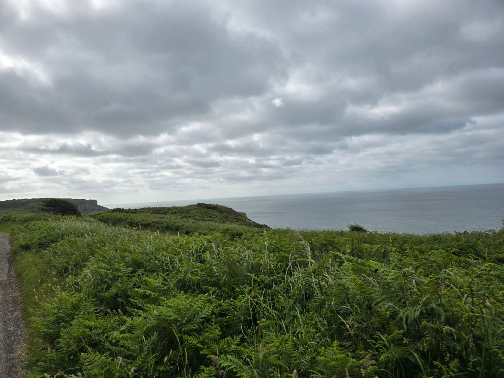
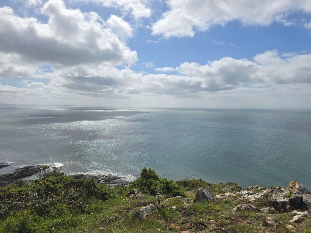
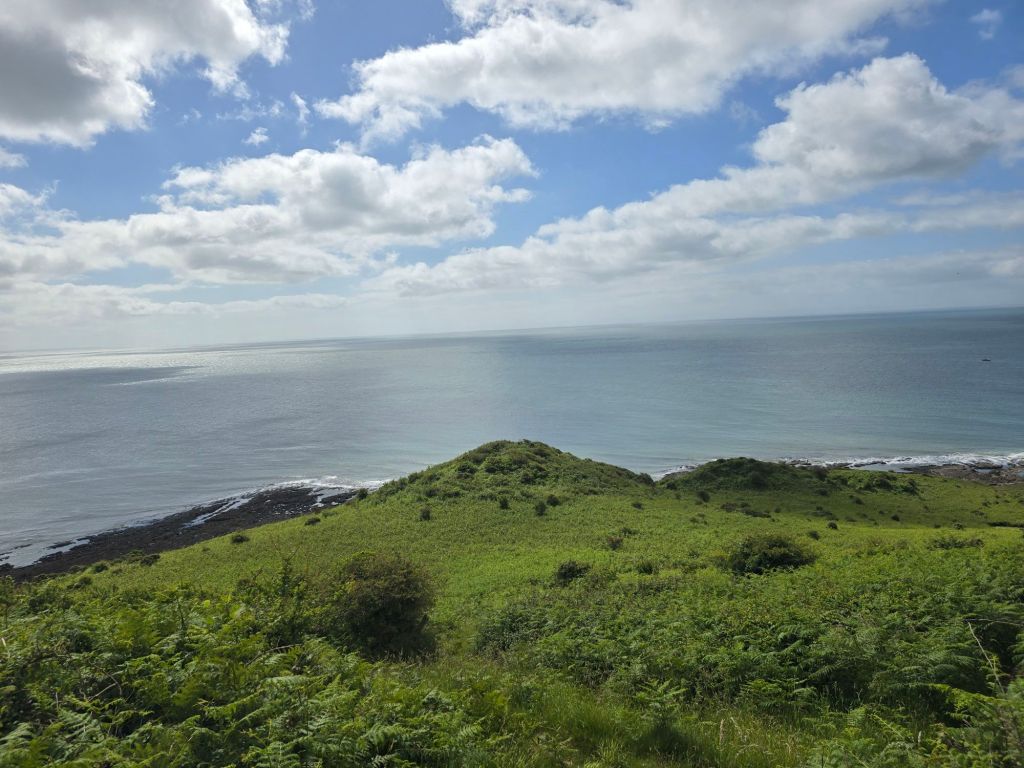
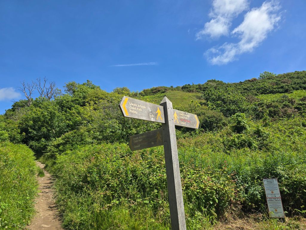
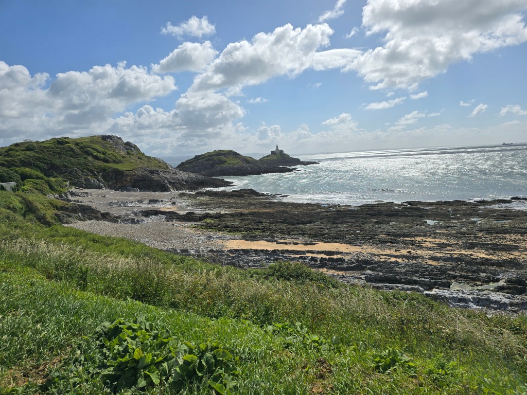
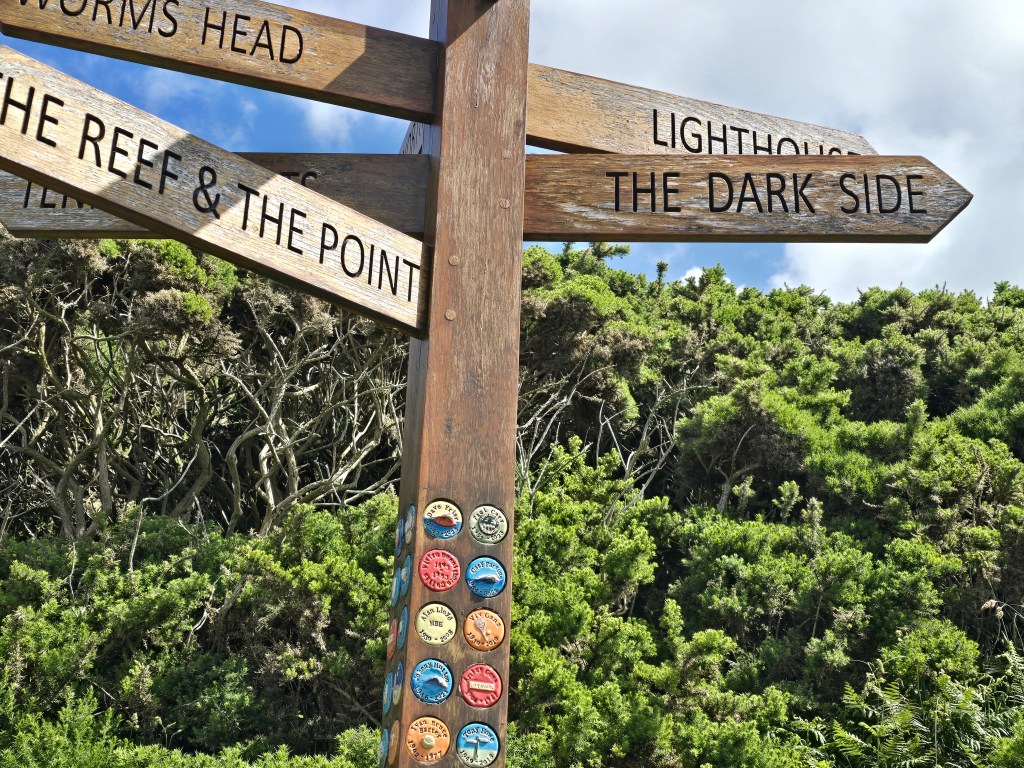
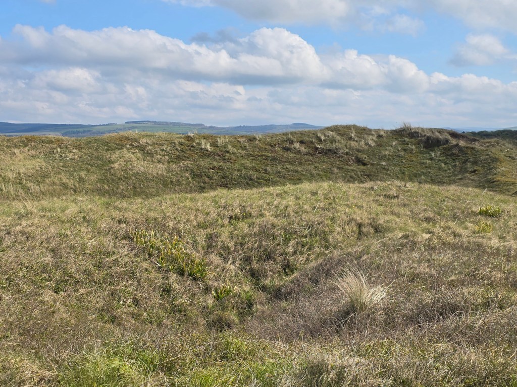
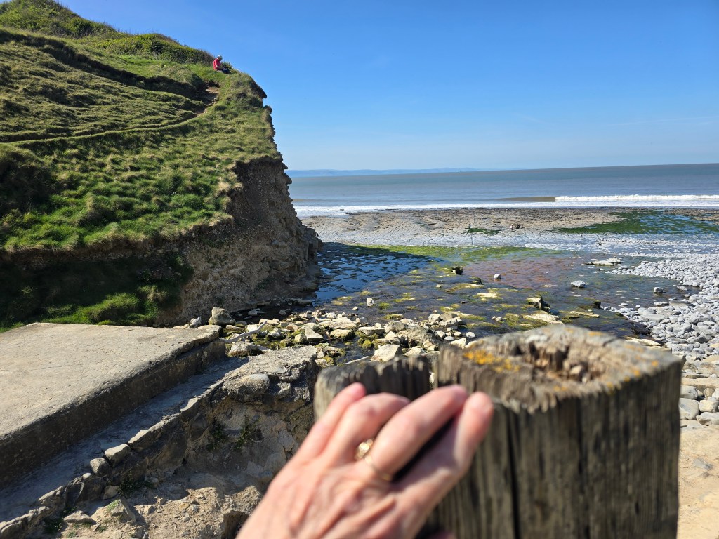
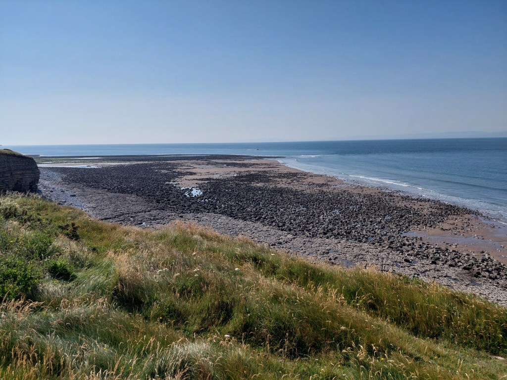
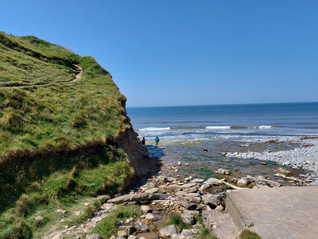
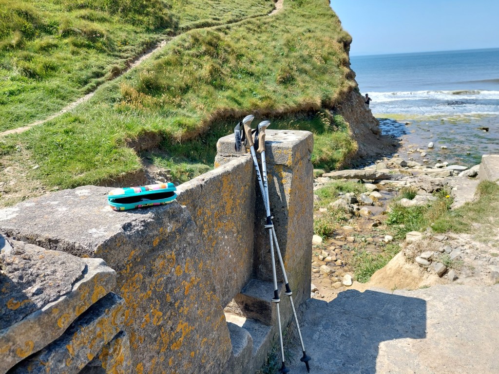
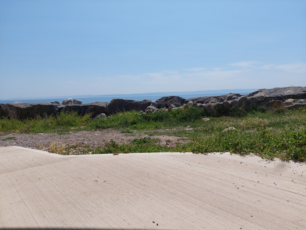
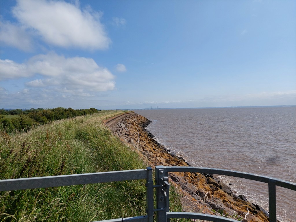
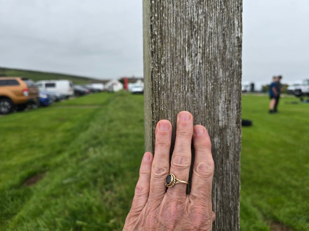
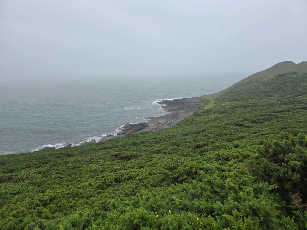
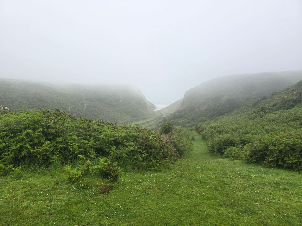
I worked my way around the headland and was being buffeted by strong wind as well as significant rain. I went on for a mile or so, and stopped to have some lunch and got wetter in the process. I was finding the going difficult as the reddy/brown soil and rocky surface was a slippery combination. I carried on to the first really sensible exit point behind Mewslade bay – set up another touching point and took a track back to the road in Middleton. This means in trail terms I have about a 3 mile gap of glorious cliff walking to do between Rhossili and Port Eynon based on what I did yesterday to join the gap! As I will be back later this year, I carefully marked up my map so I know which bit to do. However better to be safe and not sorry. So I did not continue in the difficult conditions.
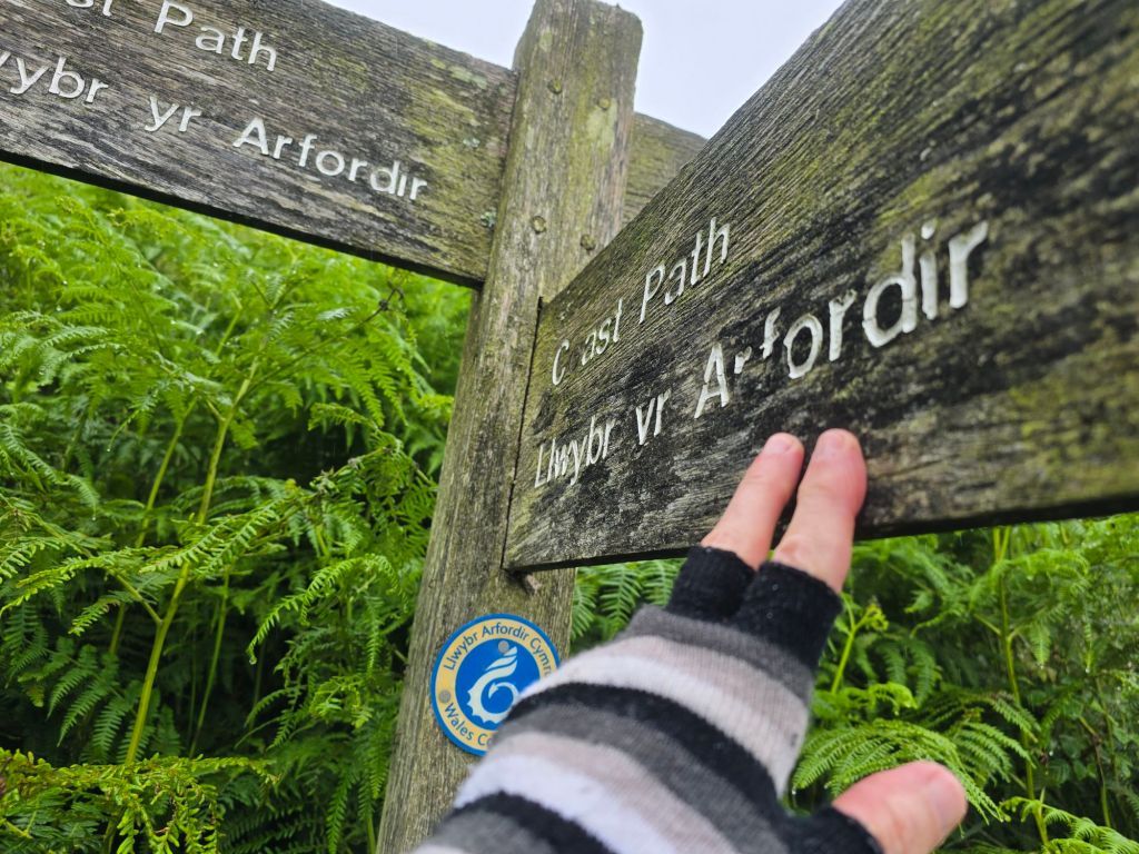
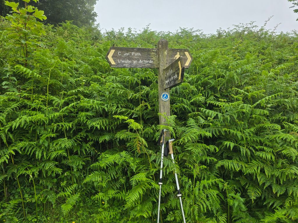
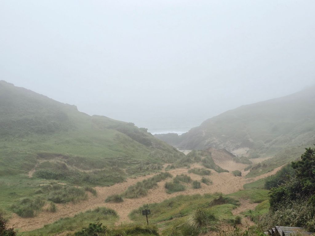
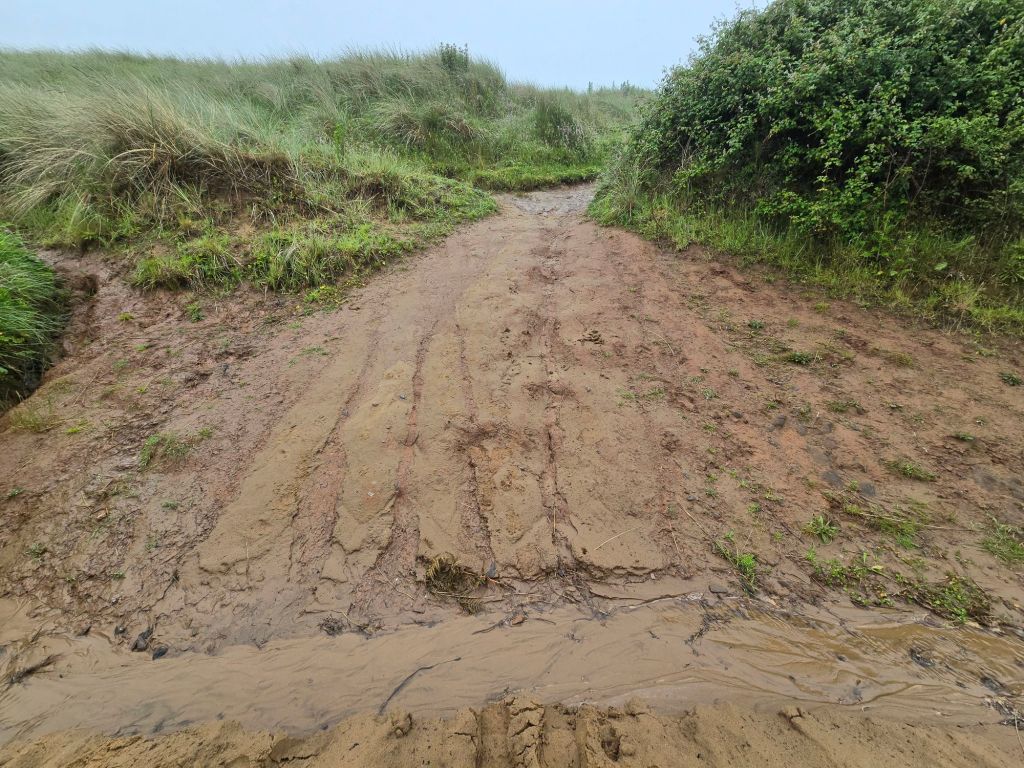
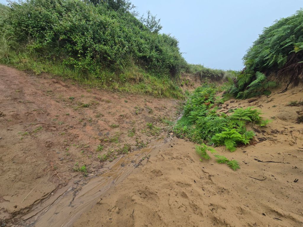
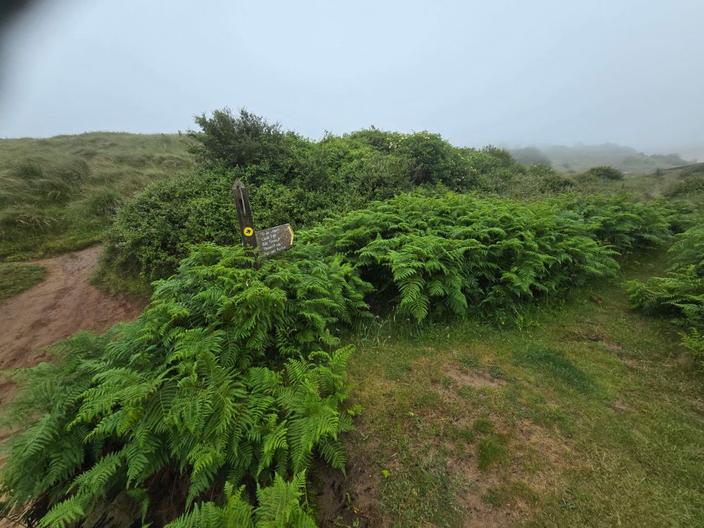
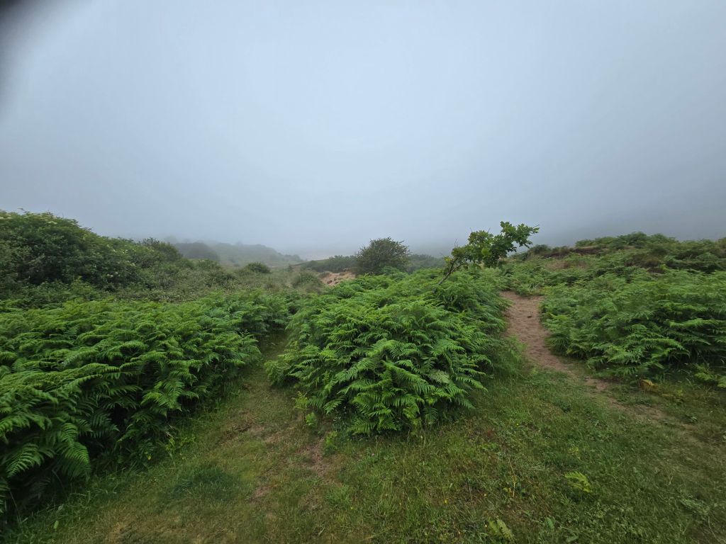
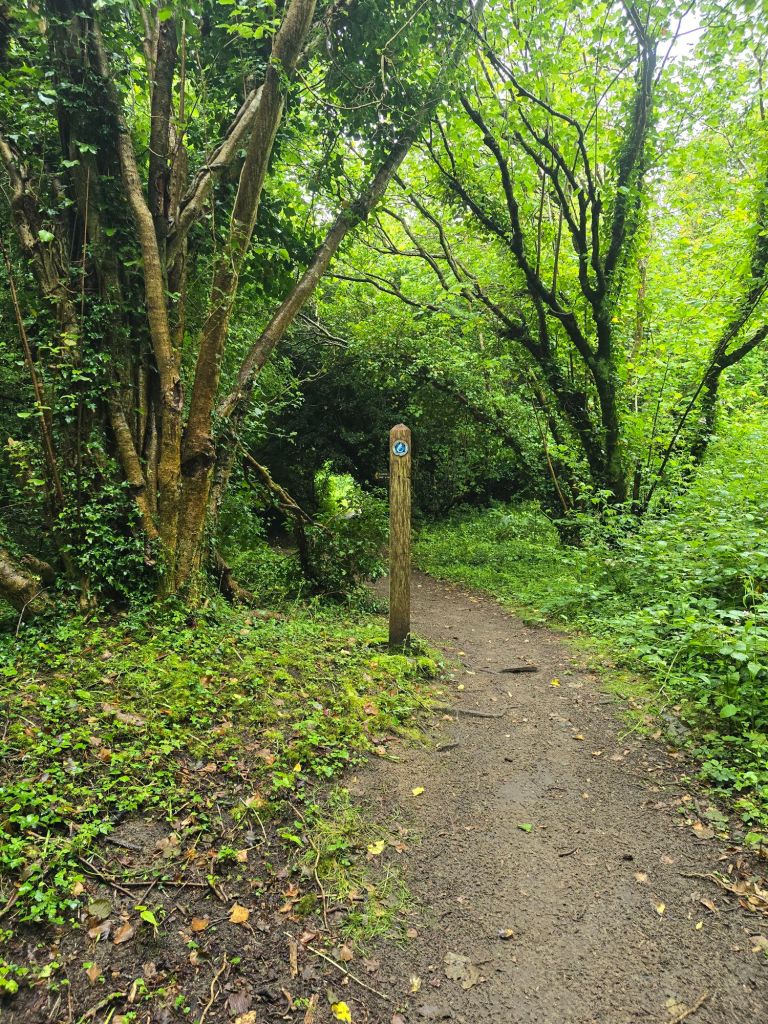
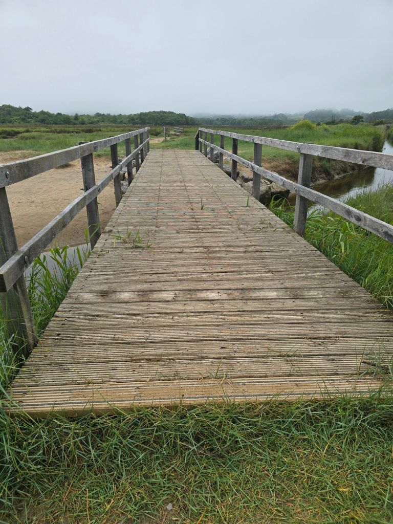
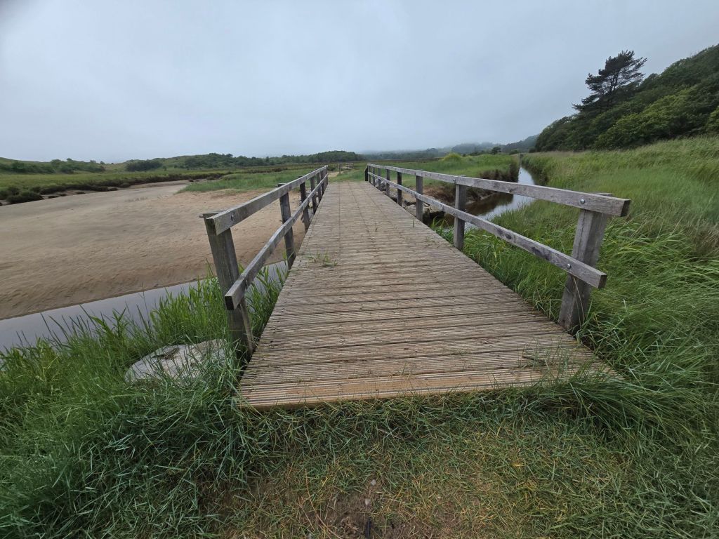
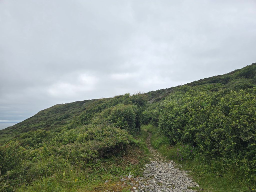
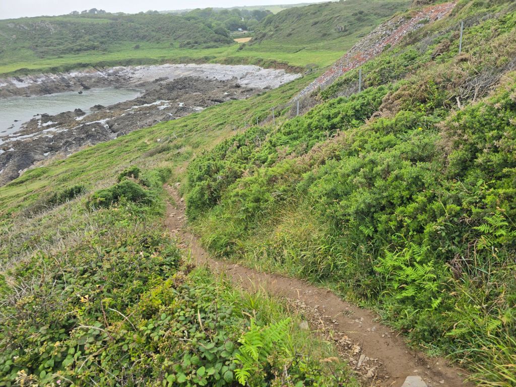
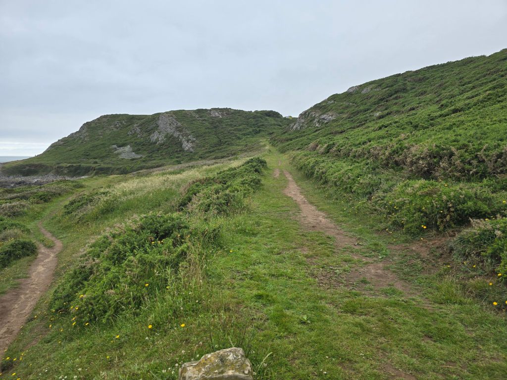
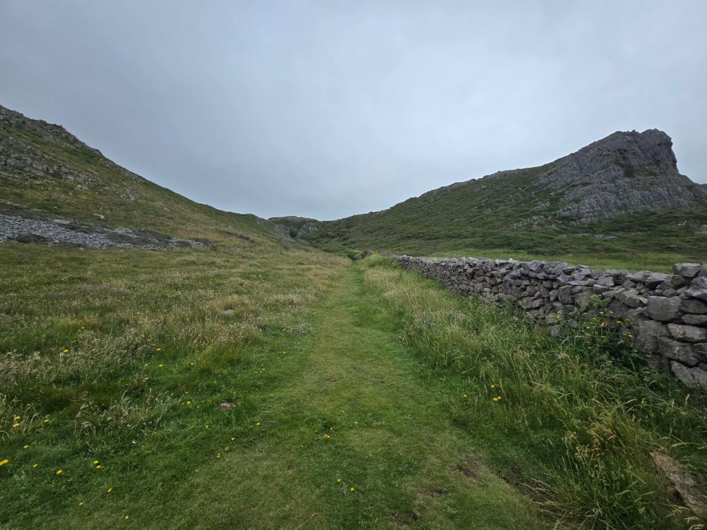
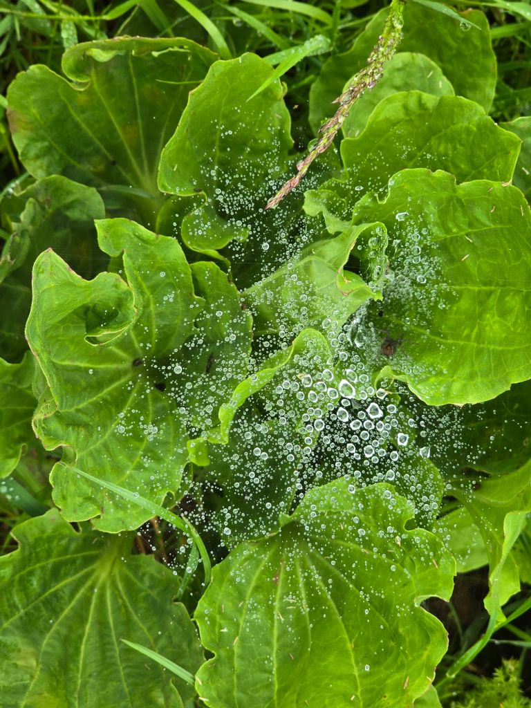
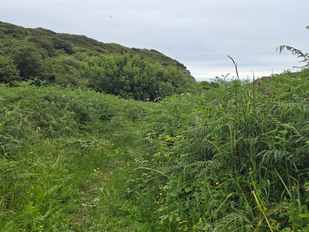
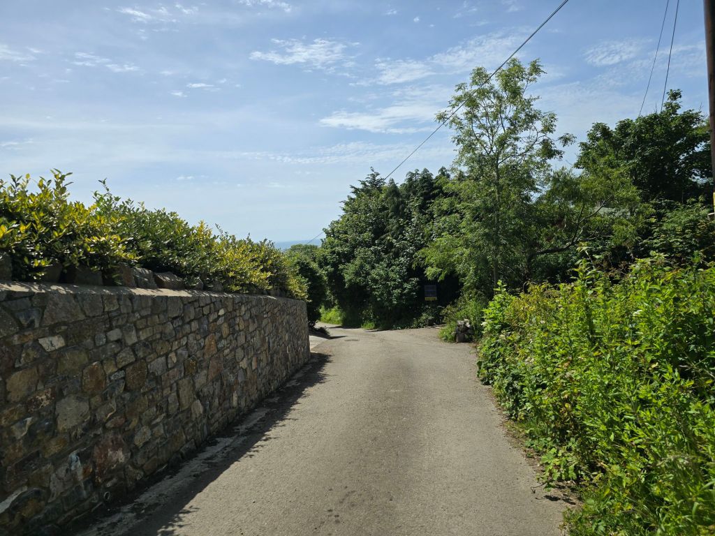
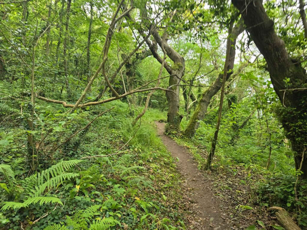
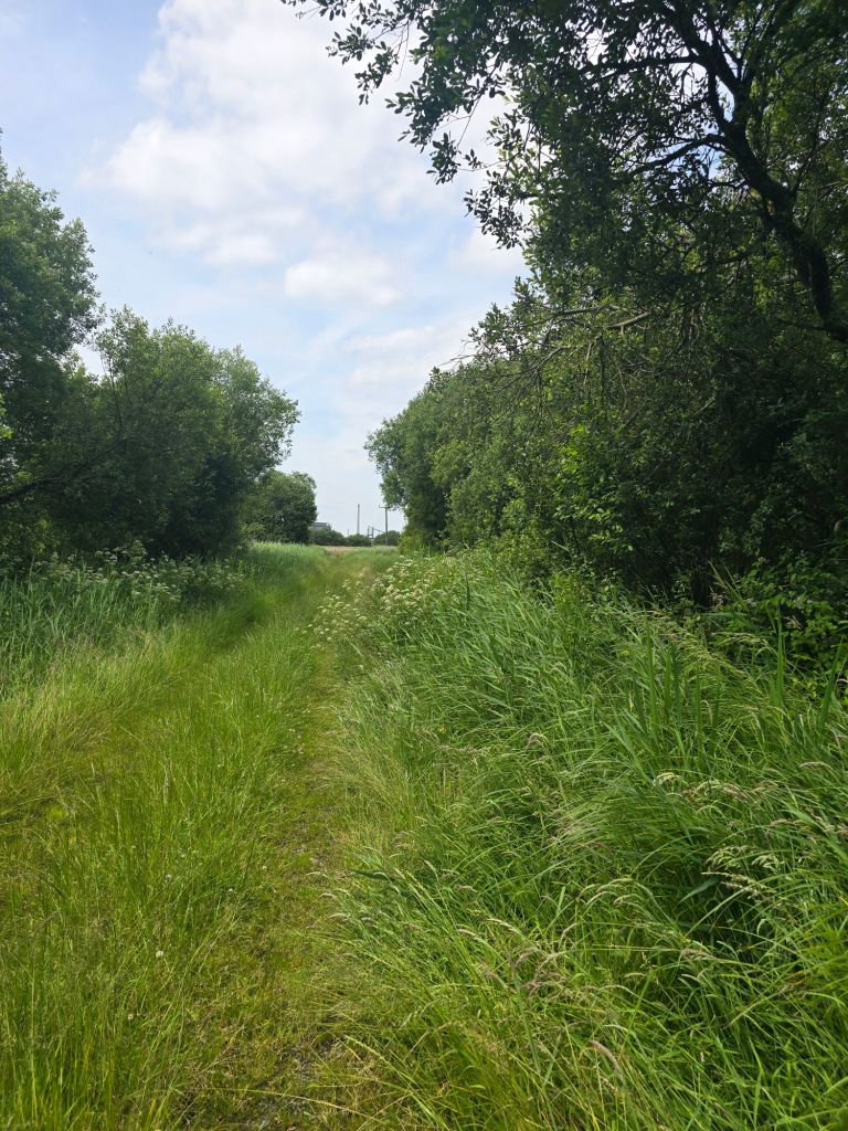
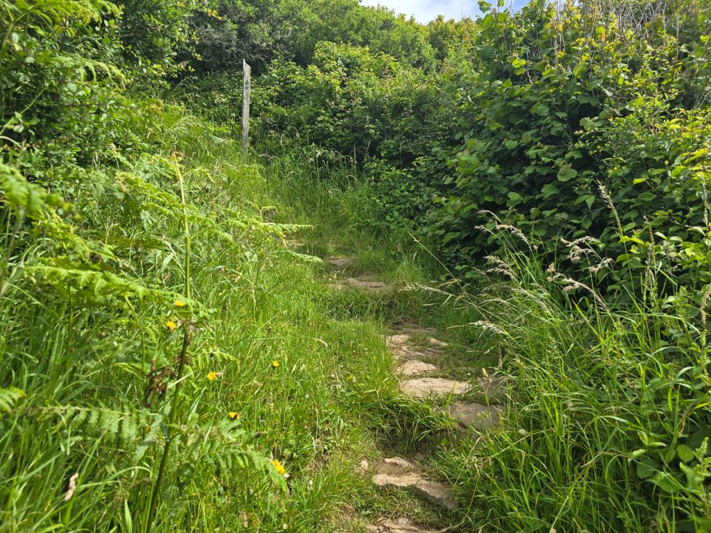
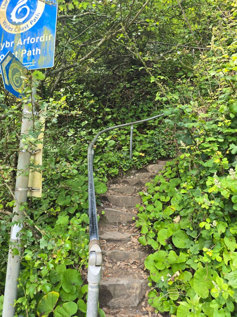
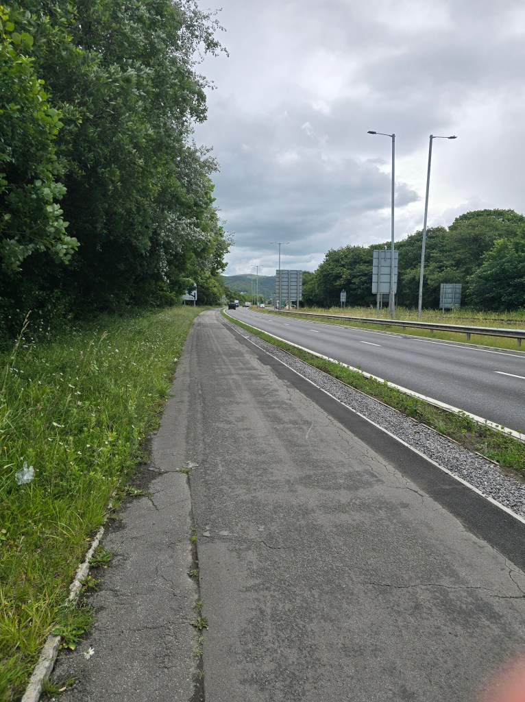
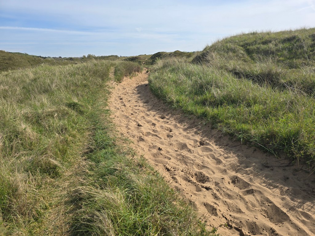
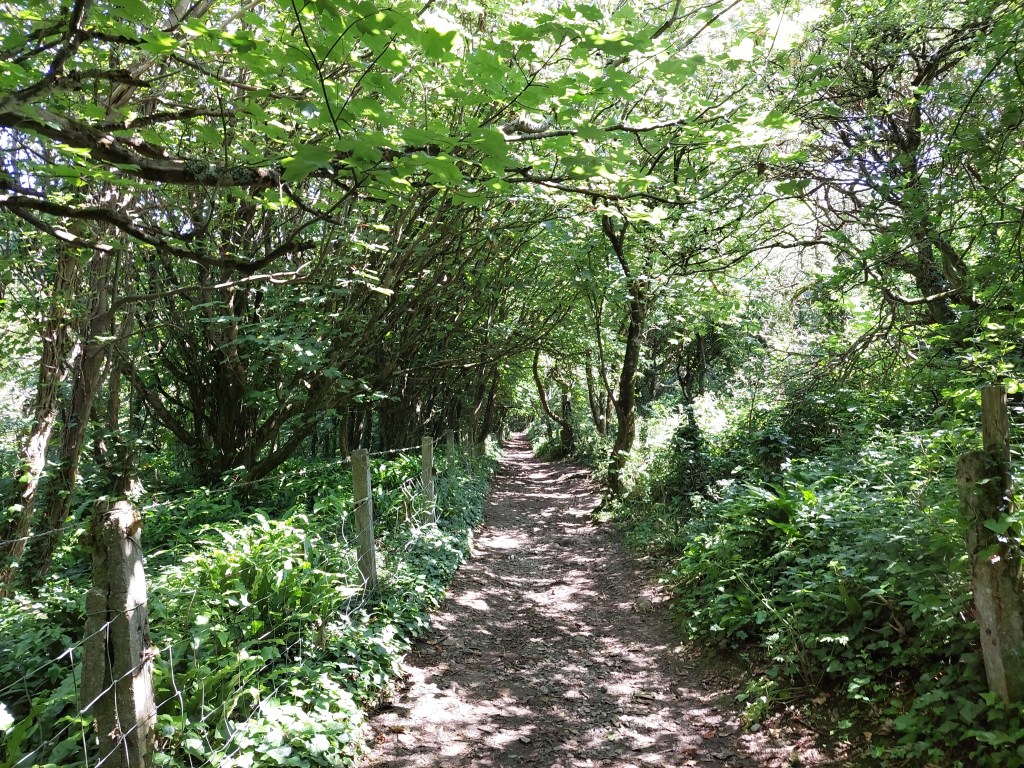
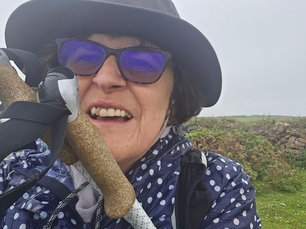
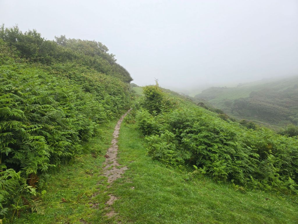
I used a path to reconnect with Rhossili from Middleton – like many this turned out to be very overgrown and as the overgrowth was now saturated I got even wetter!, and at one point could feel the rain running down my legs into my boots! When I got home I hung my boots outside on the washing line and they took 36 hours to completely dry out – despite it being rather warmer at home! Oops.
I got back to the car and deployed my beach towel to ensure I didn’t get the drivers seat too wet as I was absolutely soaked. Following the directives of the usefulness of the towel from the Hitchhikers guide to the Galaxy!

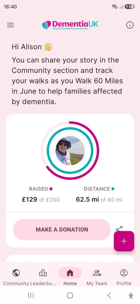
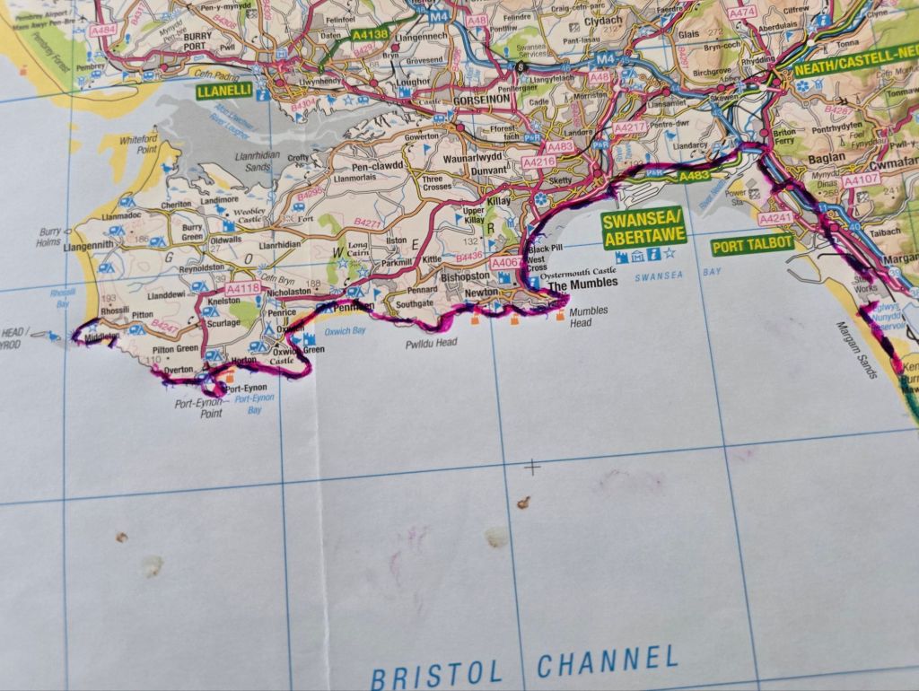
With the miles done this day, I have done another 52 miles on the trail (and 24 miles off the trail) on this break. Again the very varied terrain on the south side of the Gower is quite challenging! Taking my running total on the trail to 596 miles! I have also been doing a walking challenge in June to do 60 miles for an Alzheimer’s charity (which includes some walking at Kew as well as on the coast path) – that total was also reached! The blue and pink dashed line shows where I have walked!