Low cliffs and lots of embankment walking!

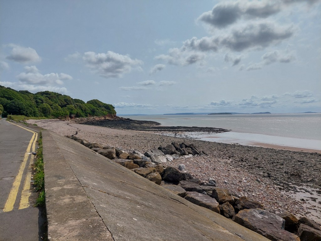
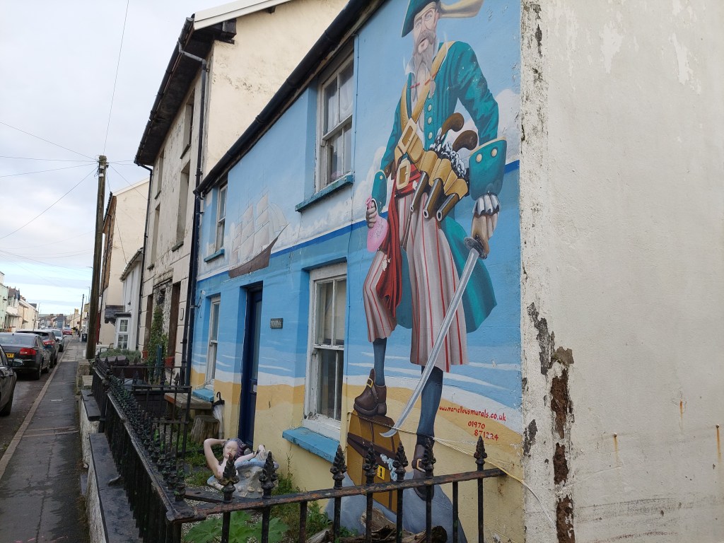
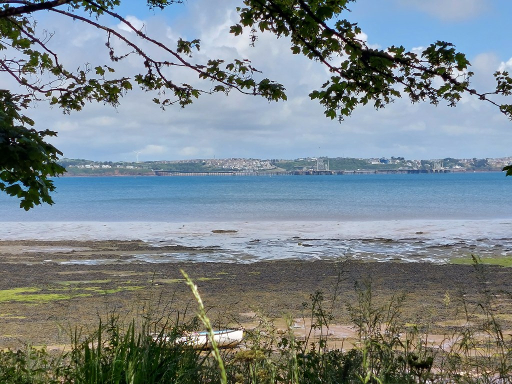
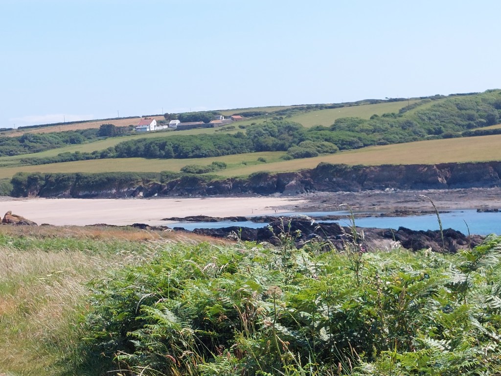
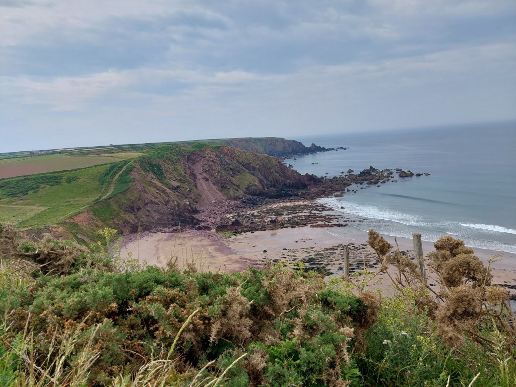
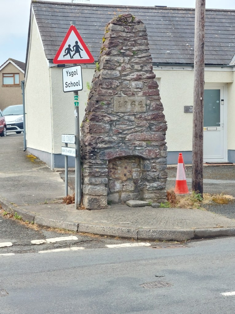
Rhoose to Llantwit Major beach

On the trail steps, 16,565 on the trail miles 7.12. Off the trail steps, 2,641 off the trail miles 1.13.

Had a more leisurely morning, caught up with the blog and sorted some stuff out. Then headed off to Rhoose to see Gavin and Alison, as Gavin was going to walk with me for the day.

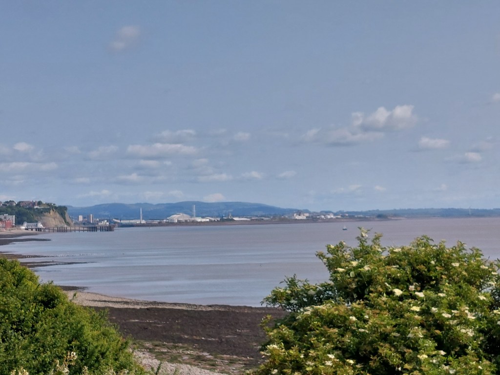
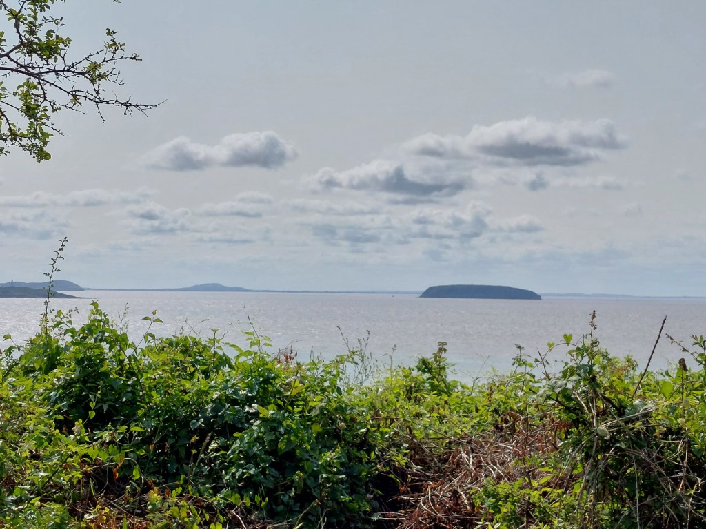
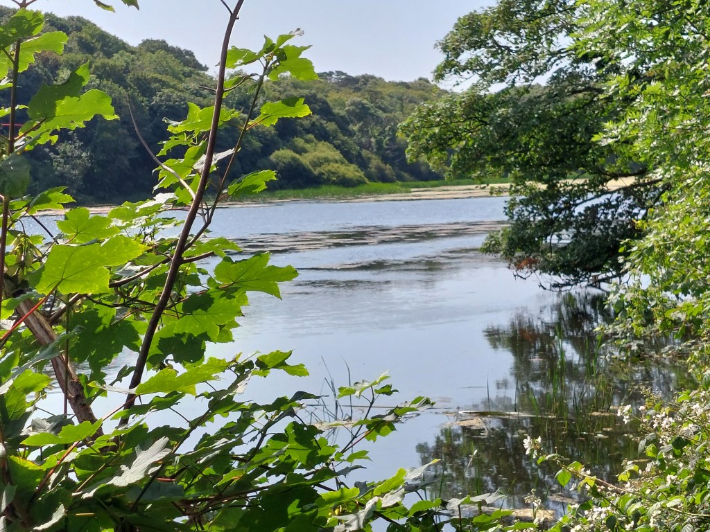
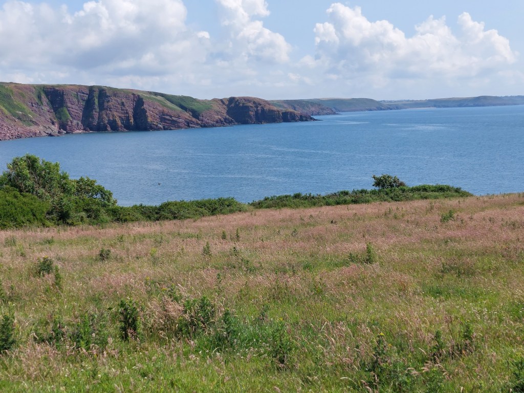
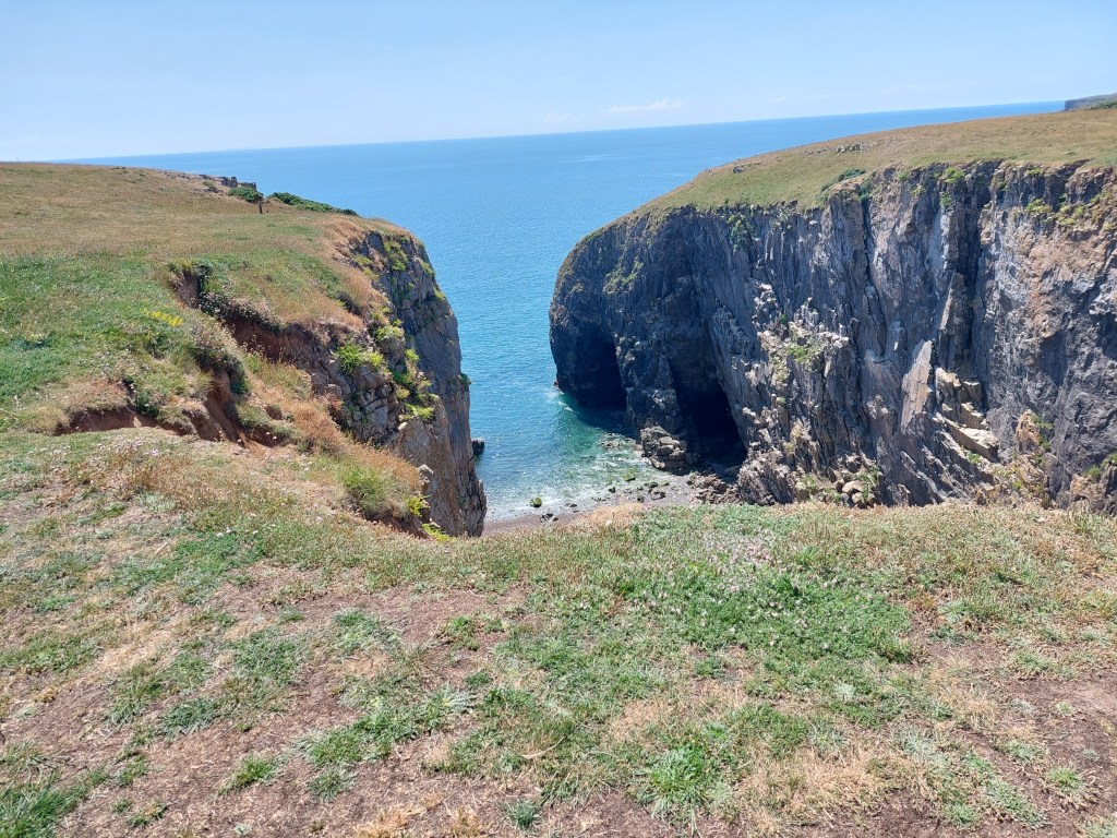
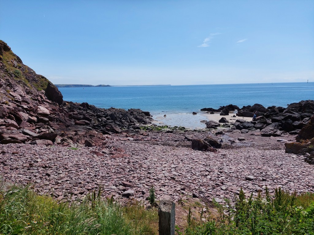
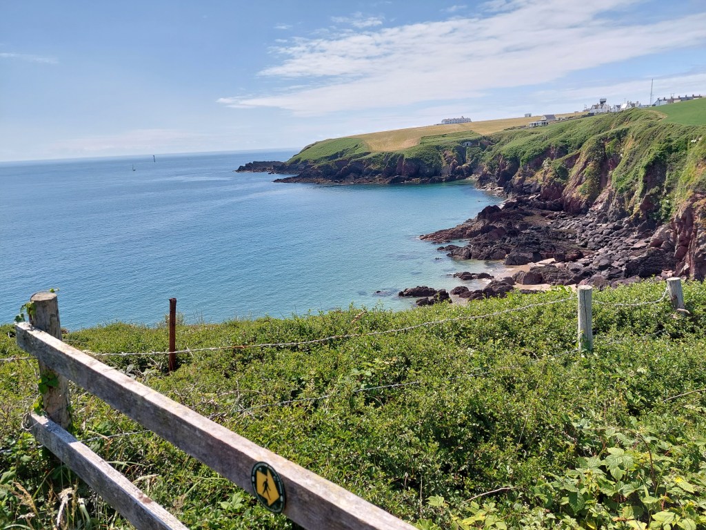
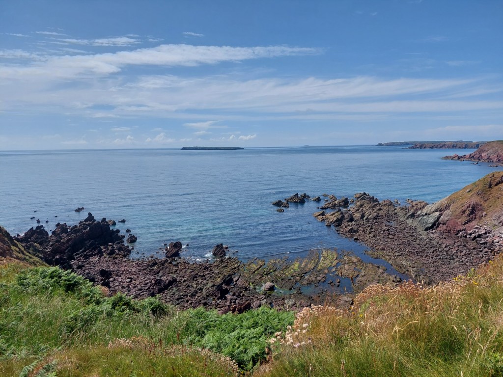
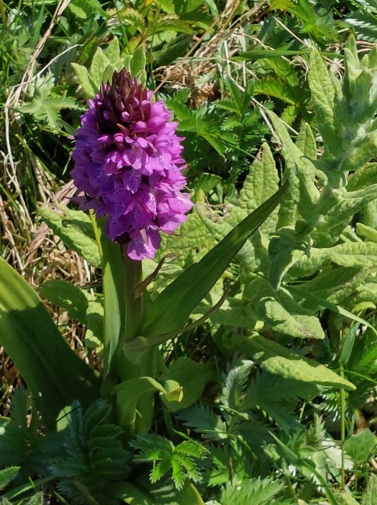
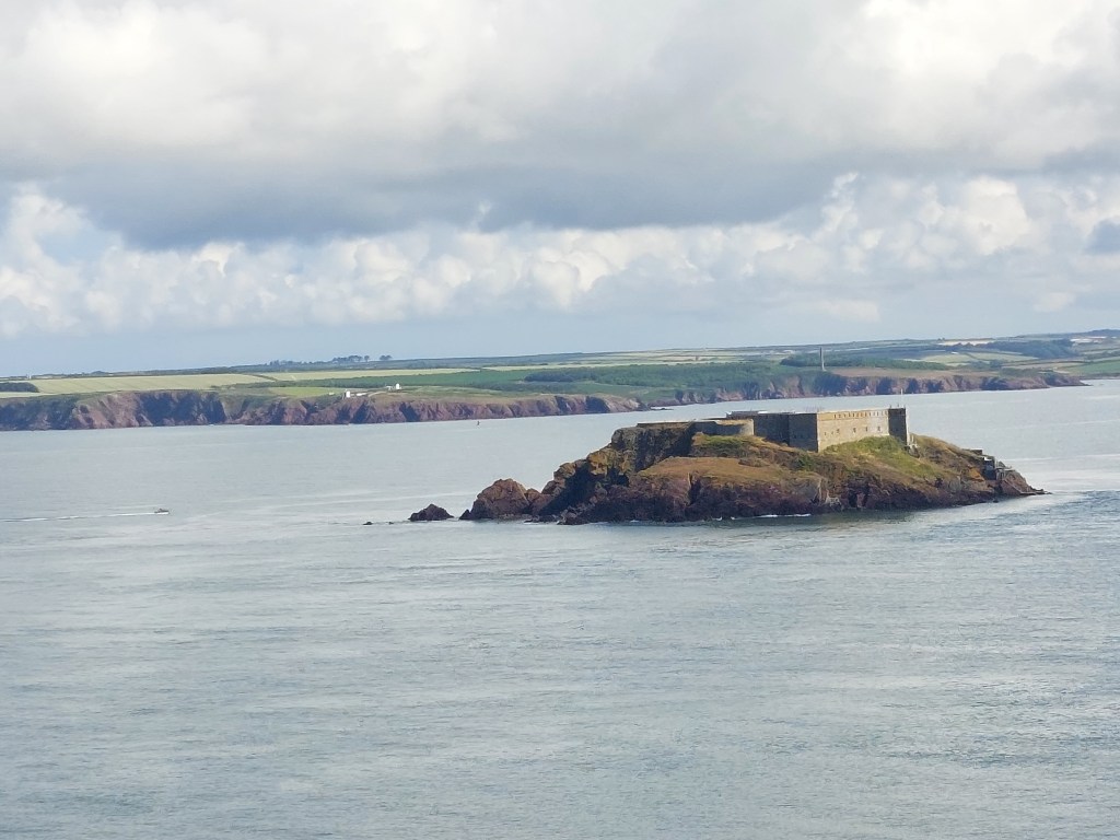
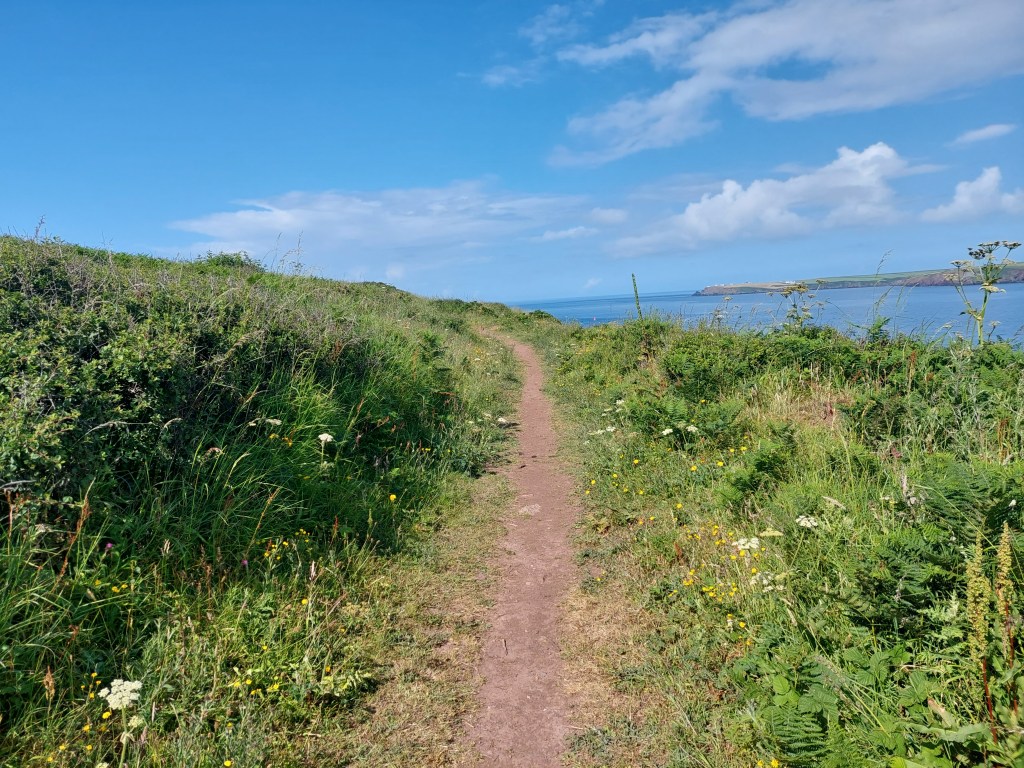
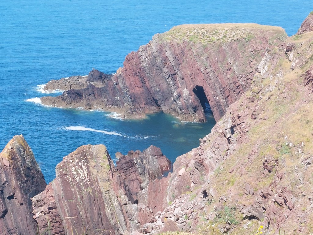
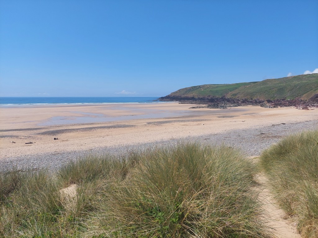
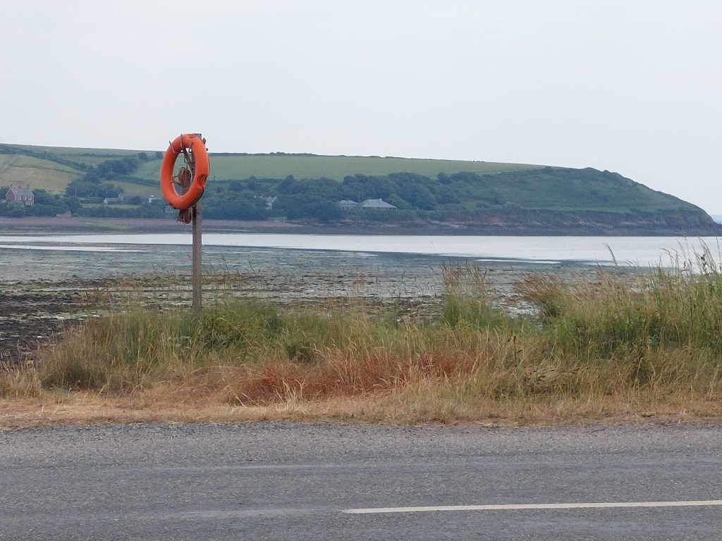
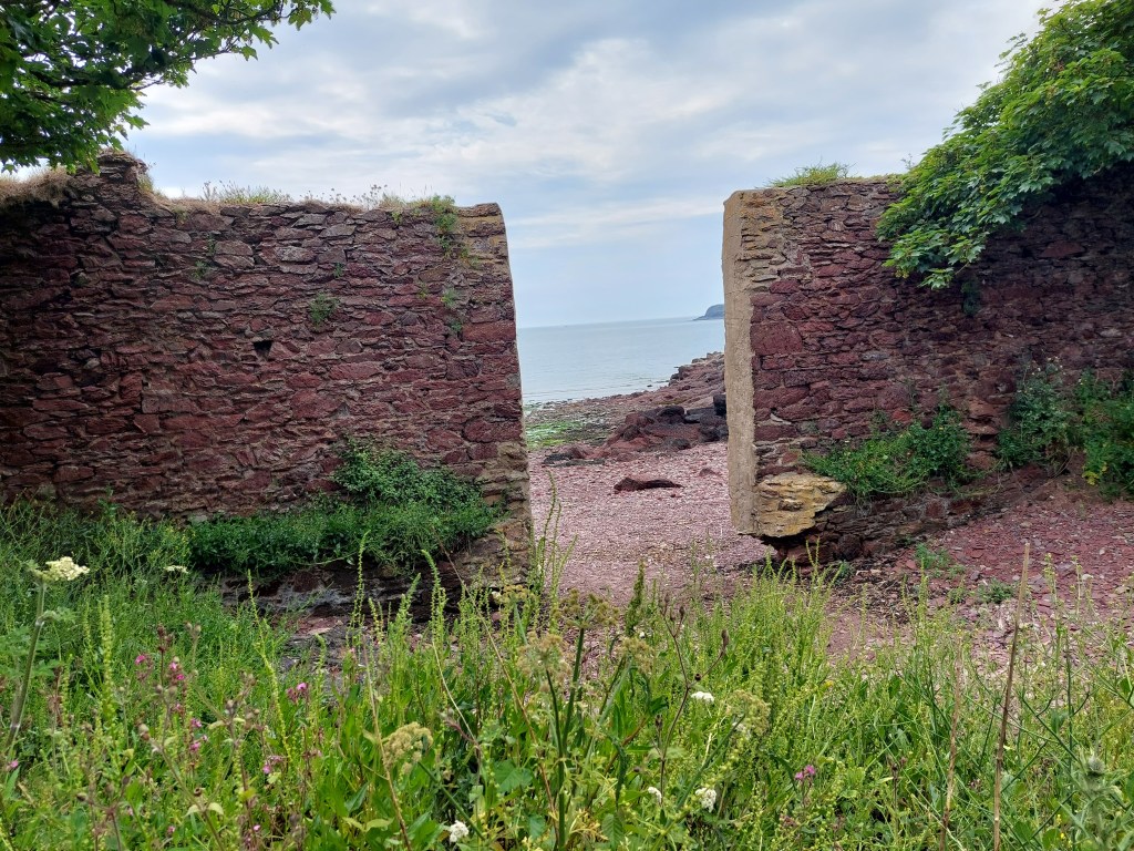
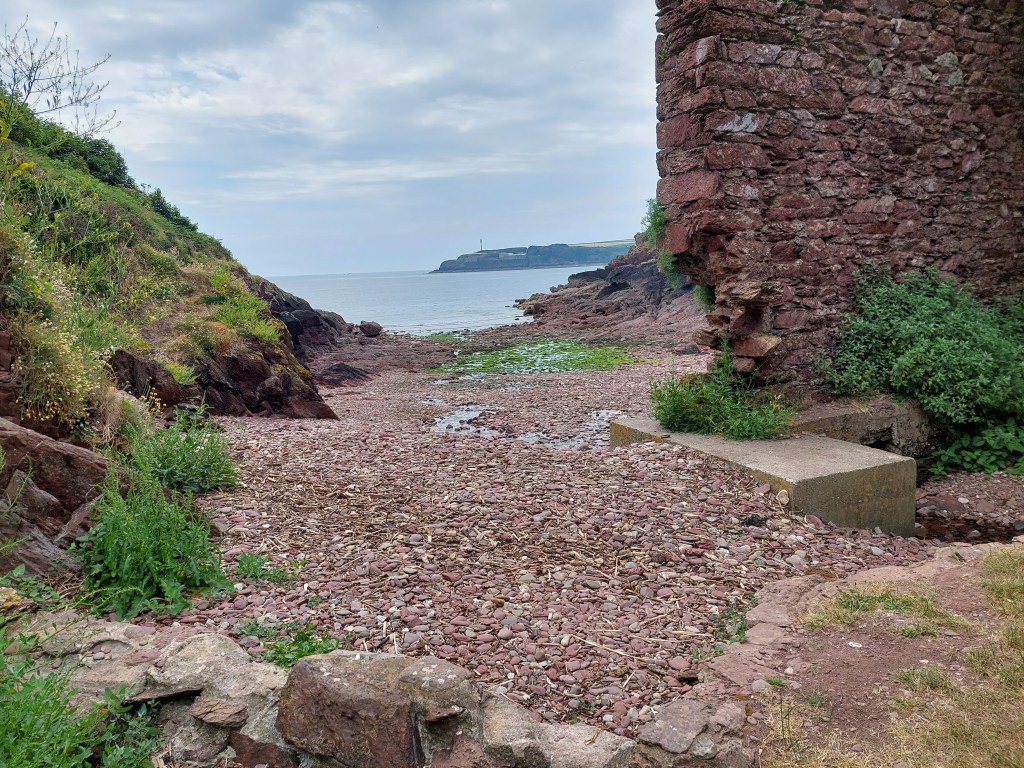
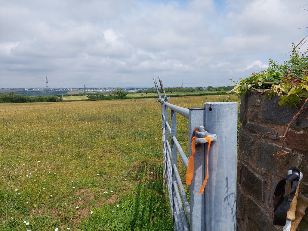
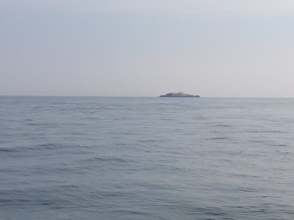
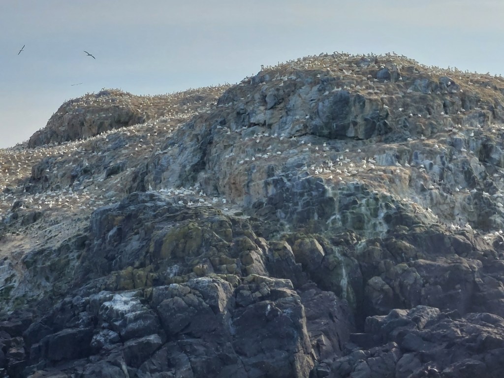
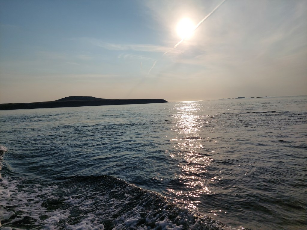
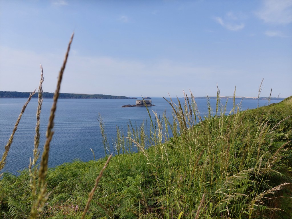
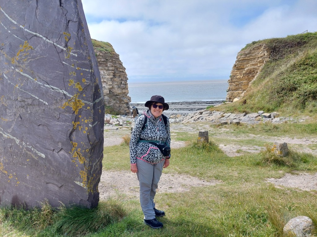
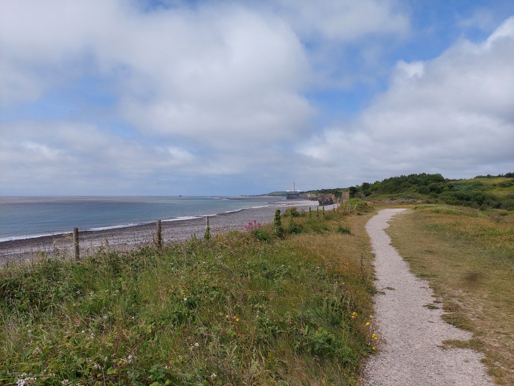
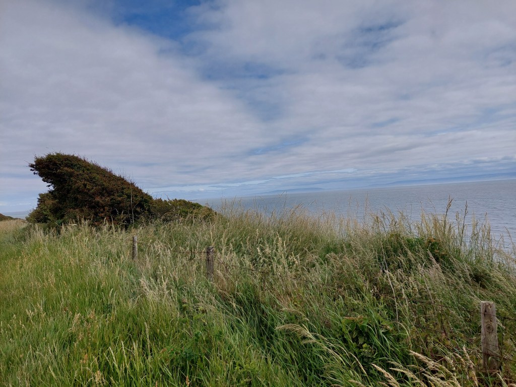
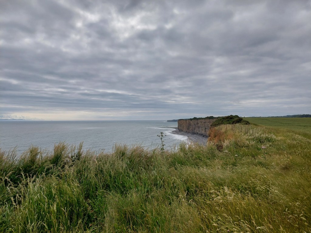
After a coffee and a catch up, we set off from Rhoose establishing a very scenic touching point at the gap – to be picked up later to complete the section back to Barry. This was close to the most southerly point of Wales. The walk had wide expansive views of the Bristol channel and the shipping, and was more classic low cliff walking. We were making steady progress into the breeze. There was lots to see including geological formations, fossils and a rocky shore line. Much conversation was had.

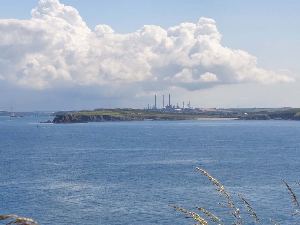
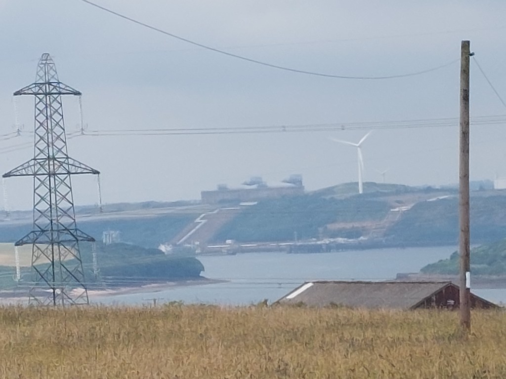
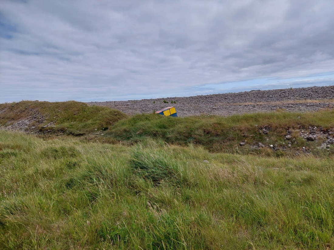
We had a breather on a log when we descended down to a path by the sea wall after the lengthy stretch next to Fontgarry Caravan park! We were chased by the man on a ride-on mower for most of that too! As we continued we saw the cement works and the power station and outer workings of it. It was fun to see some antitank defences which had been painted, including an impressive rubics cube!

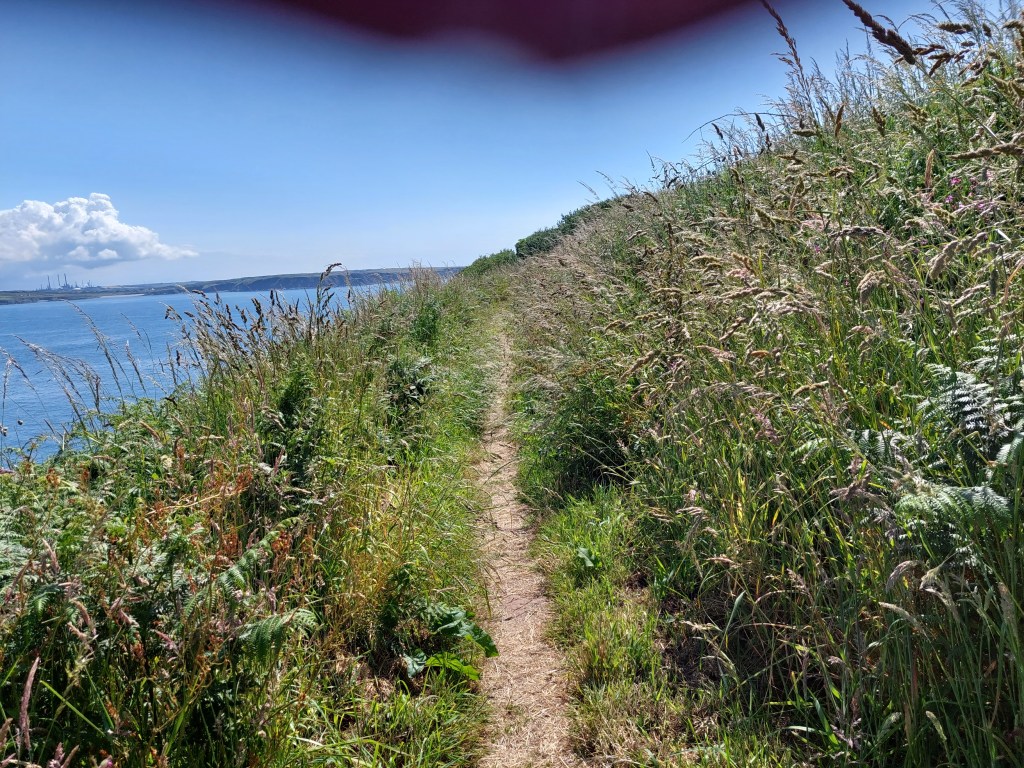
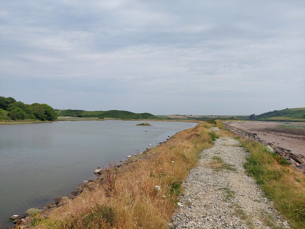
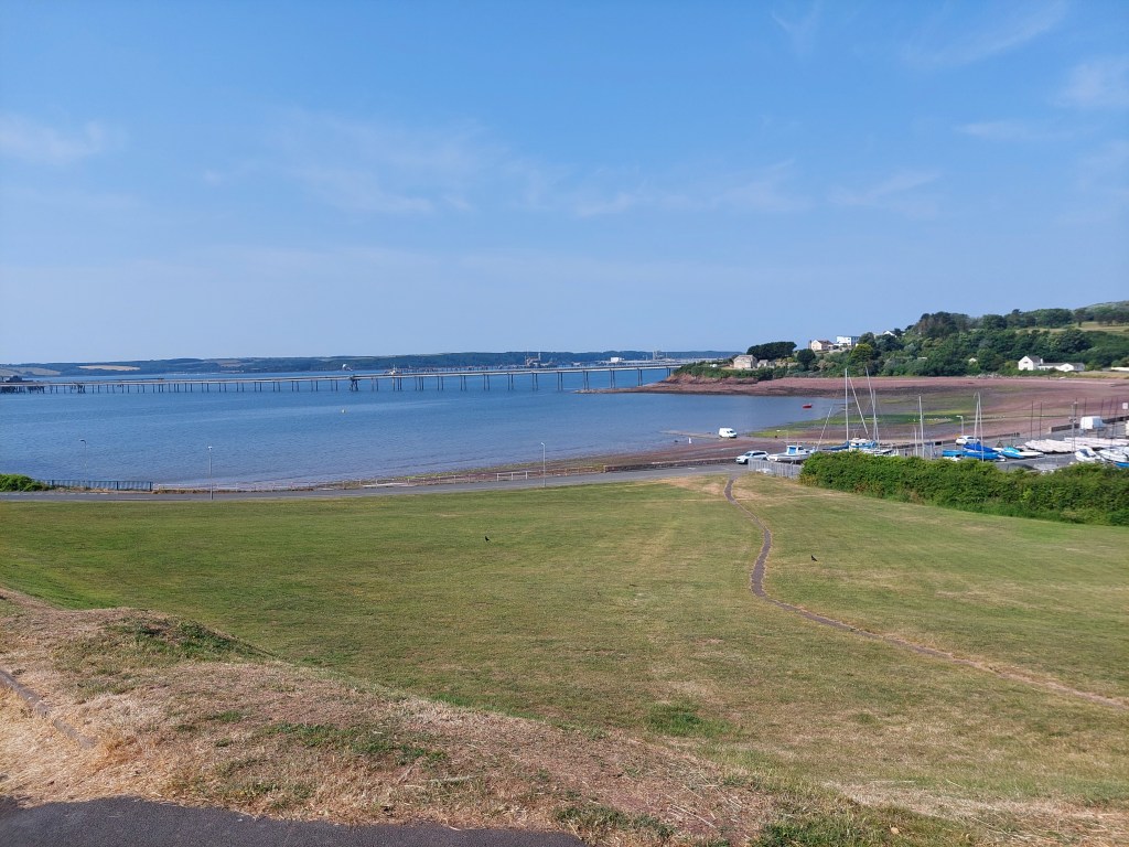
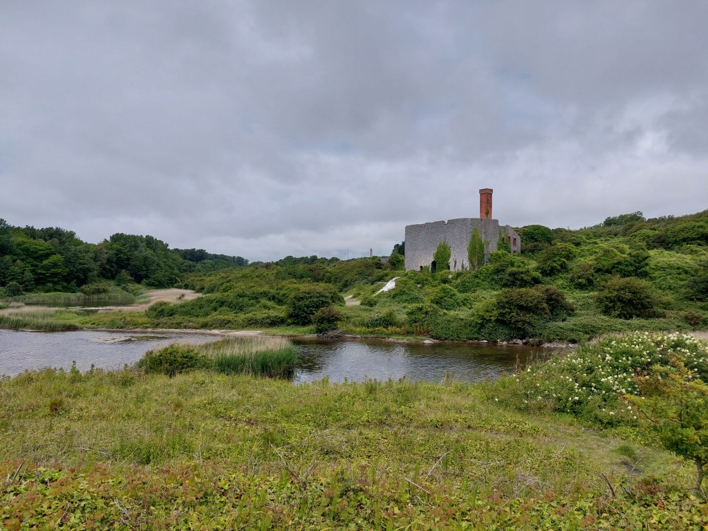
We had lunch just beyond the Aberthaw power station on an uncomfortable bench in the car park. This seemed to be a favourite amongst dog walkers. A very chatty chap told about the latest ‘urban thrill experience’ was to break in and explore the derelict power station (we had seen holes in the perimeter fence!). Not my idea of fun! We continued to walk at a low level, which was very reminiscent of Suffolk beyond Sizewell. It was a bit rough and ready (and actually we should have gone in land!)

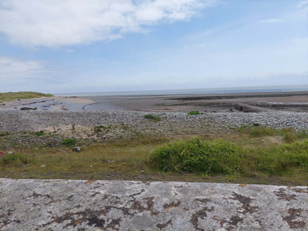
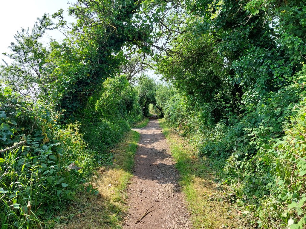
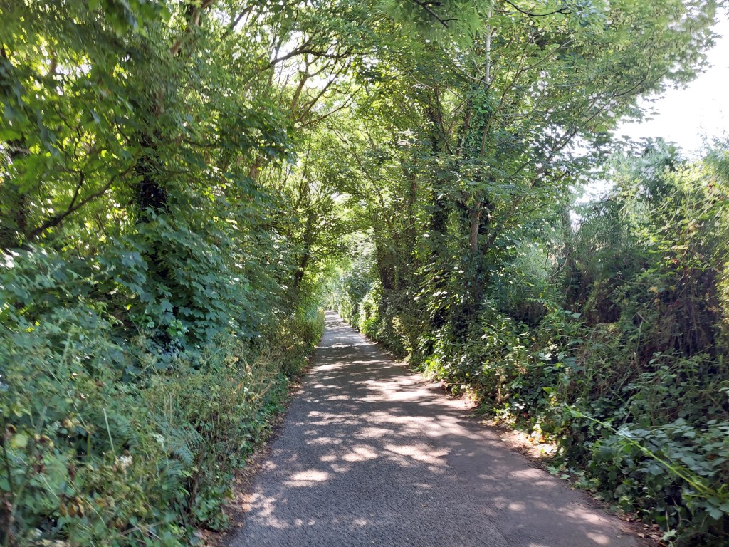
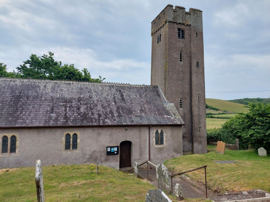
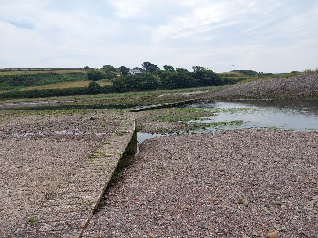
It was at this point we saw the first sign indicating a path closure. It was not at all clear so we carried on! We eventually reached a barrier not across the path (and I sent Gavin ahead). There was one bit of path in need of attention but it was passable with care! It was all abit overgrown – and we came out by the second barrier (also not barring the path) by the seawatch centre. We were intrigued by an accommodation block at Hafod.

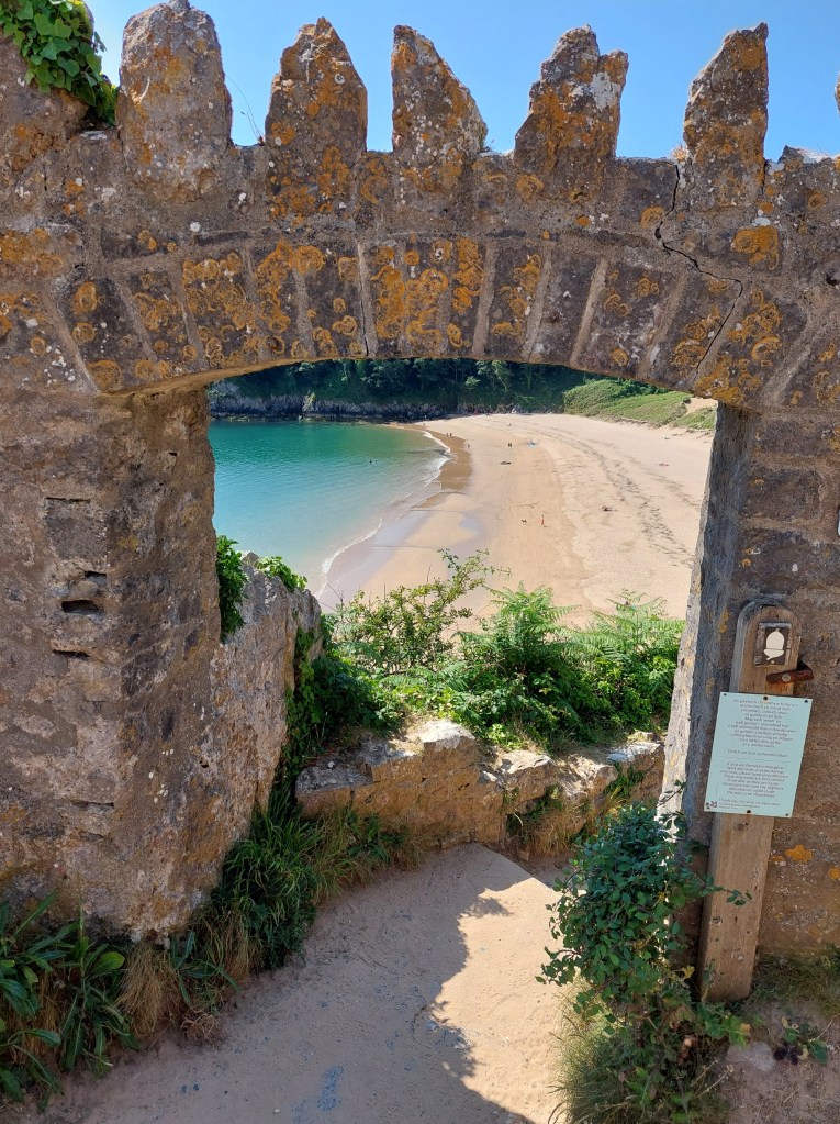
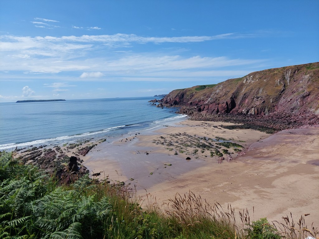
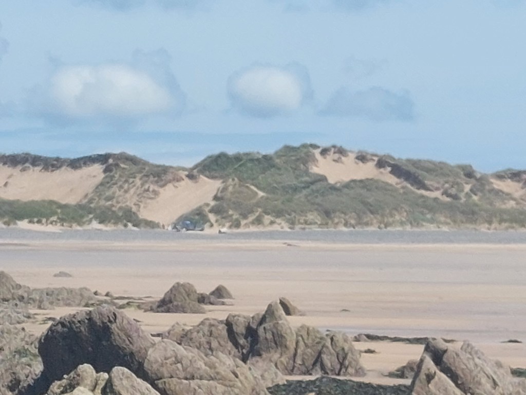
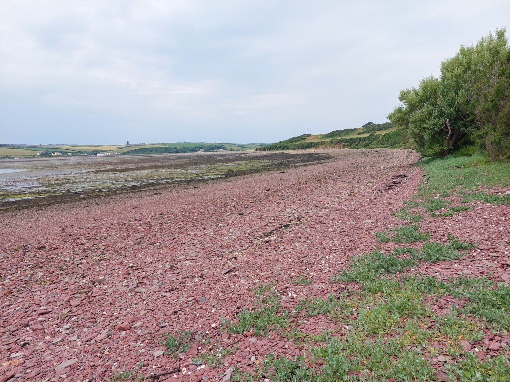
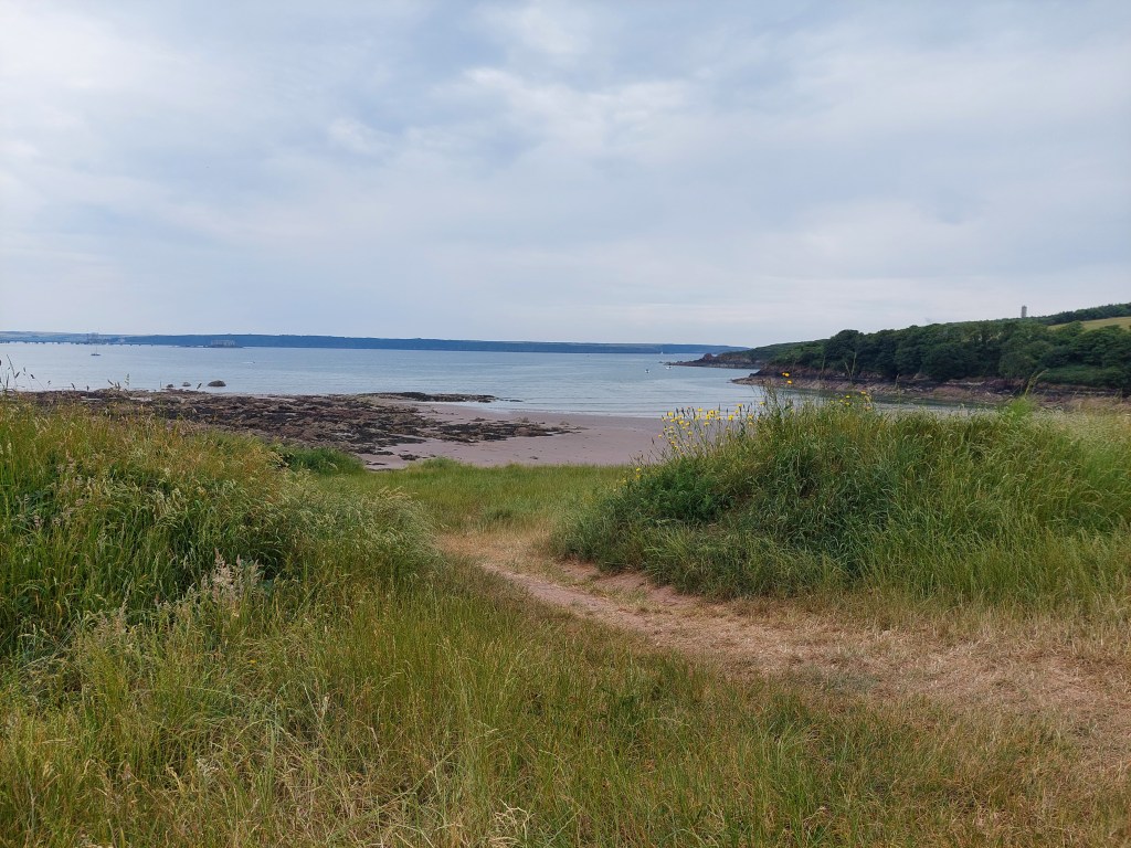
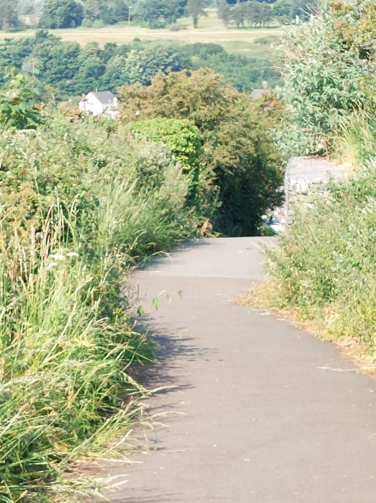
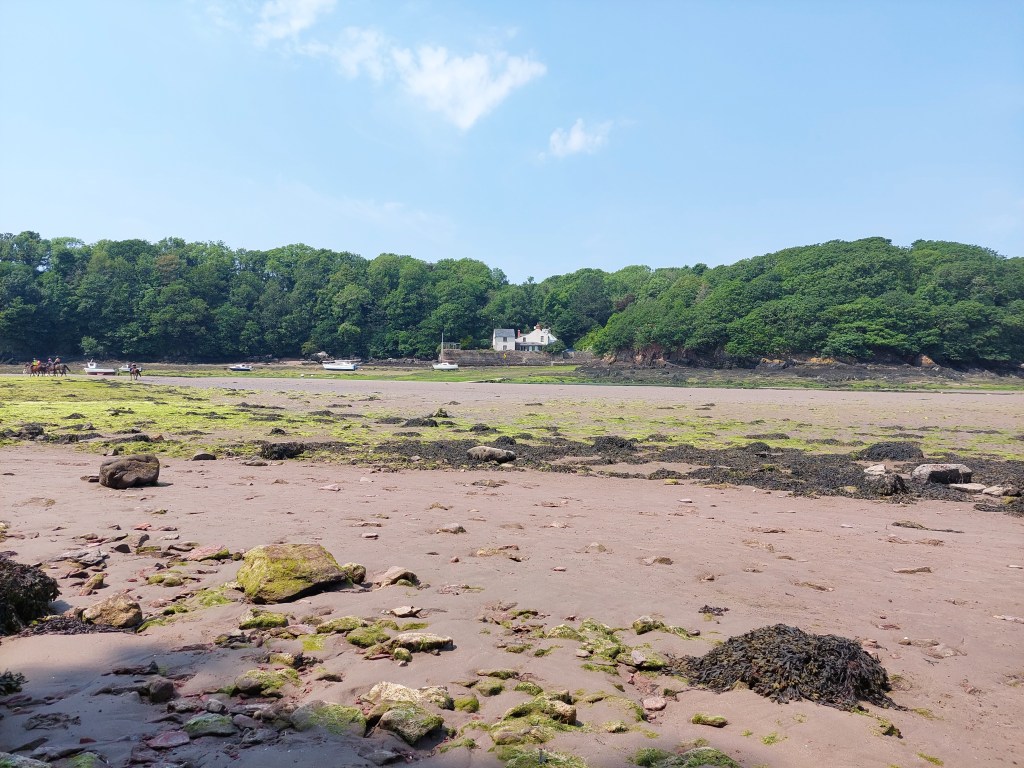
After this we had about 3km to go – and we managed a cliff edge path in some huge fields. There was a down and up section, and finally we wound down into Llantwit beach. I was so pleased to see our lift (Alison) – that I forgot to establish a touching point! Oops. Back to Rhoose for a lovely supper and more catch up too!

De haviland Road, Pengam green to Lighthouse park

On the trail steps,  18,208 on the trail miles 7.84. Off the trail steps 6,681, off the trail miles 2.86.

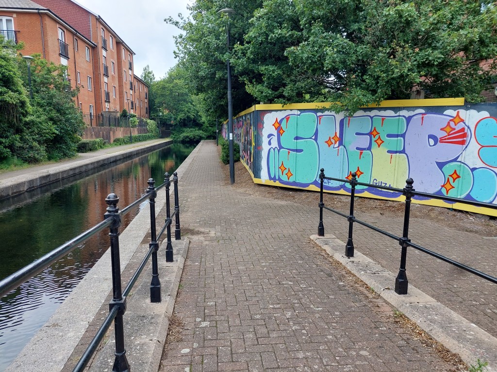
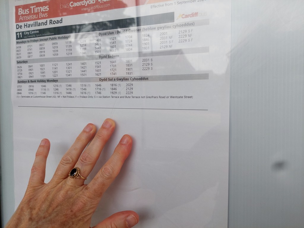
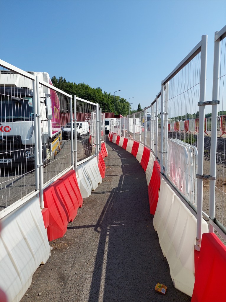
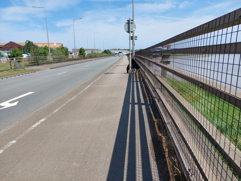
Unfortunately when I had got home last night I found I had a blister – so compeed (other brands exist) to the rescue and back in the old boots for today’s walk. Made my way back to Pengam green, and found somewhere sensible to park (about ½ mile from the touching point in De haviland road. When I get the bus back I will connect the gap, but for now touched the car as an interim starting point. The initial stretch was complicated by roadworks and a special walking lane at a roundabout and about ½ a mile next to a busy road. It ducked off into a park with a large pond (but you could still hear the traffic). It then struck out towards the coast, coming out near an embankment – which I walked on for much of the rest of the walk. I had an initial coffee stop sitting on a green storage box.

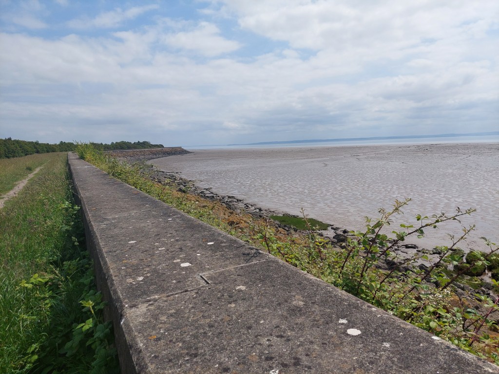
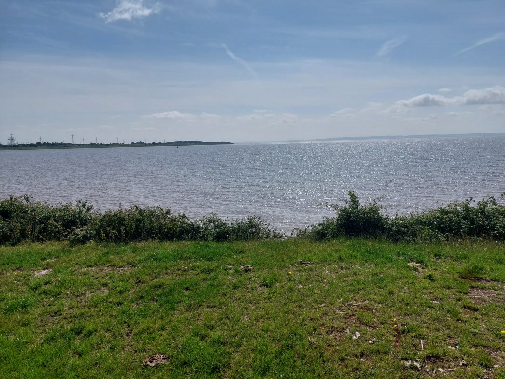
Initially I saw only 1 person on a very isolated spot walking alongside the estuary. It got increasingly humid and I dodged some cows, there was some interesting birds too. I stopped for a breather at the first get off point – near Peterstone church, sitting part way down the embankment. I didn’t linger as it was a bit hot and uncomfortable! The view was very constant – large estuary, with a varying amount of shore (and rural land put to various uses on the other side and some marshy stuff too)!

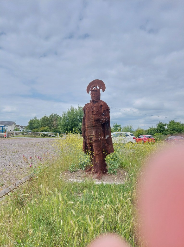
I stopped further along just beyond Peterstone Gout by the emerging sea wall. At this point people became more prevalent. Another possible exit point emerged and I realised that the bus stopped near the coast at Lighthouse park. I was getting hot and sweaty in the prevailing conditions, and I knew it would be too far to walk the final bit into Newport from where I was. So I established a touching point here, and cut inland to a closed pub/café and ate my lunch at a picnic bench next to a Roman Soldier sculpture and then took the 31A back to Newport. We went on a diverted route including the M4. Lighthouse park turned out to be a static caravan complex!

I wandered into the shopping centre to find a toilet, and then got the bus back to Cardiff (X30). Then a short walk to a number 11 bus stop in the centre of Cardiff and a half hour wait to get the 3rd bus of the day back to Pengam green. I walked to the De haviland road bus stop – touched the touching point and did the extra half a mile back to where I had parked the car.

Lighthouse park to A48 road bridge in Newport

On the trail steps, 12,634 on the trail miles 5.41. Off the trail steps 53147, off the trail miles 2.29.

After a rest day (with a lot of driving but that’s a story for another day) – the blister was still on going so another day in the old boots ahead and with compeed protecting my left foot! I drove back to the Lighthouse park, on the way passing the six bells – another very closed hostelry – which was described in the guide book as a going concern, but it has been tough times. The local community were trying to save that one!

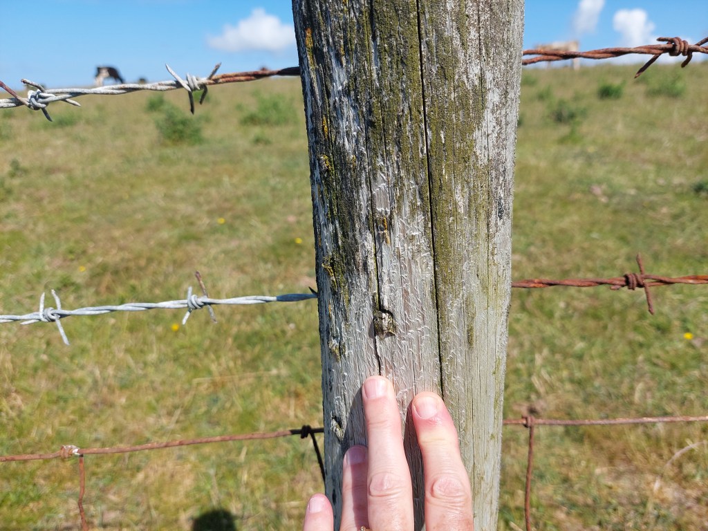
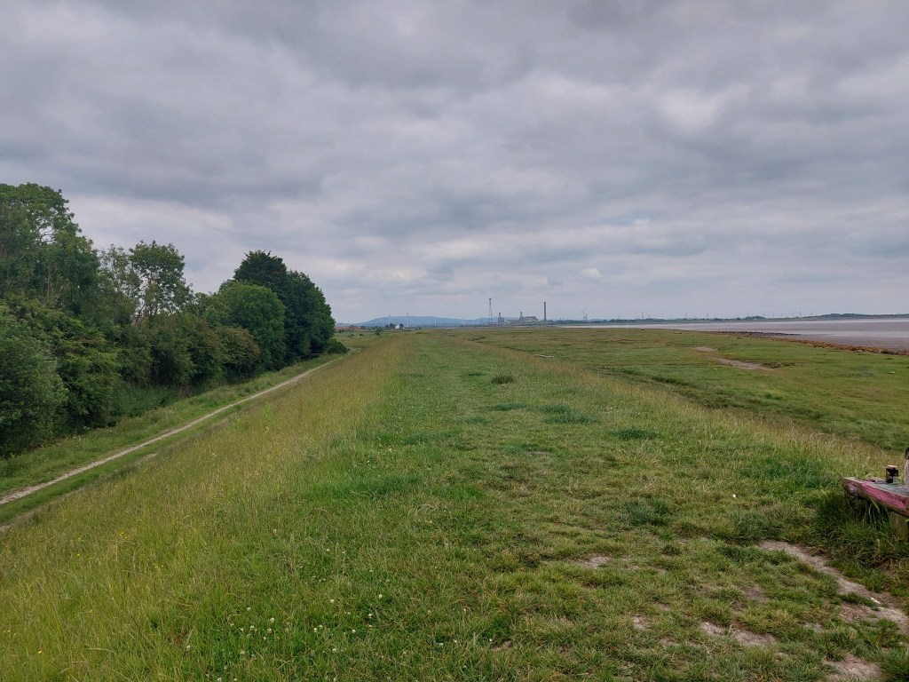
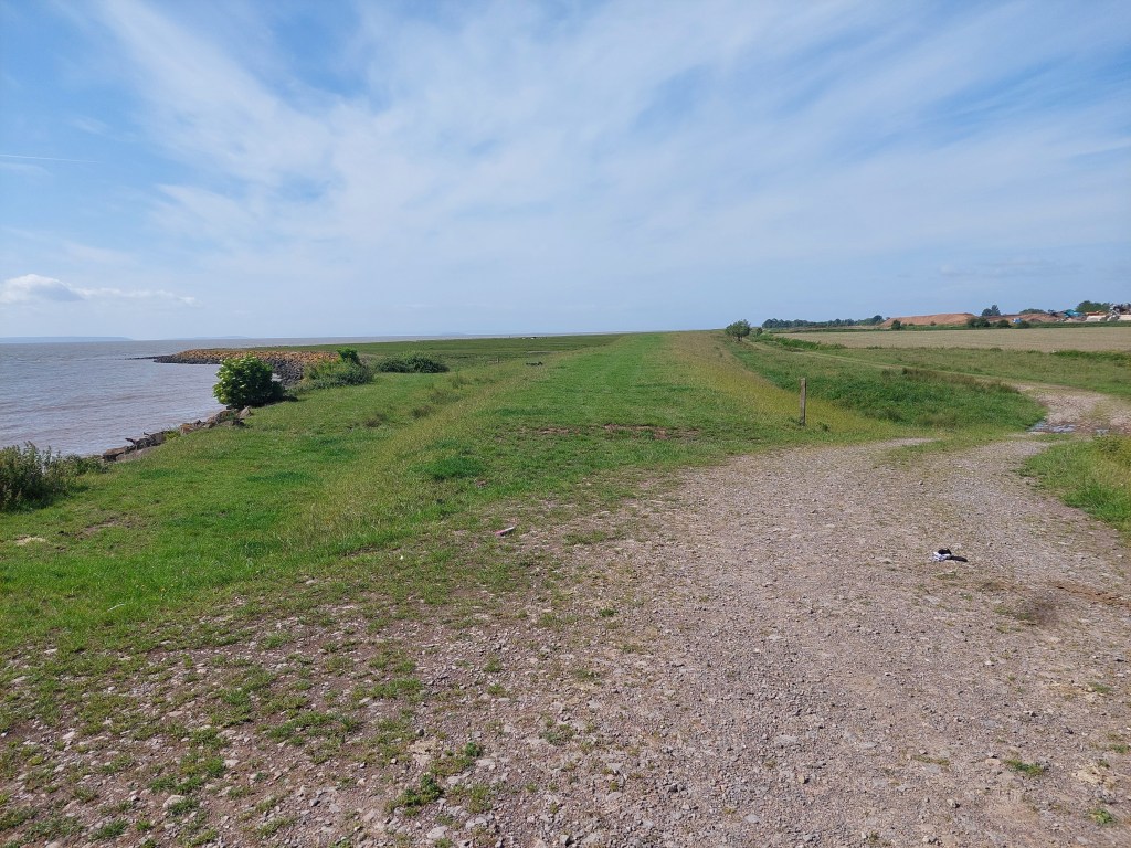
I set off via yesterday’s touching point, and walked to the West Usk Lighthouse on the embankment – with birds, cows, horses etc!. The lighthouse was quite charming but very squat as lighthouse’s generally go. There was lots of accommodation around it – but the path diverted onto a track around it with some very unfriendly notices! I missed the initial link to the coast path by crossing a cattle grid carefully, and then had to come back across. One more final stretch of embankment before the path turned inland and into a farm track. I saw one person in this whole stretch, along with horses, cows and sheep!

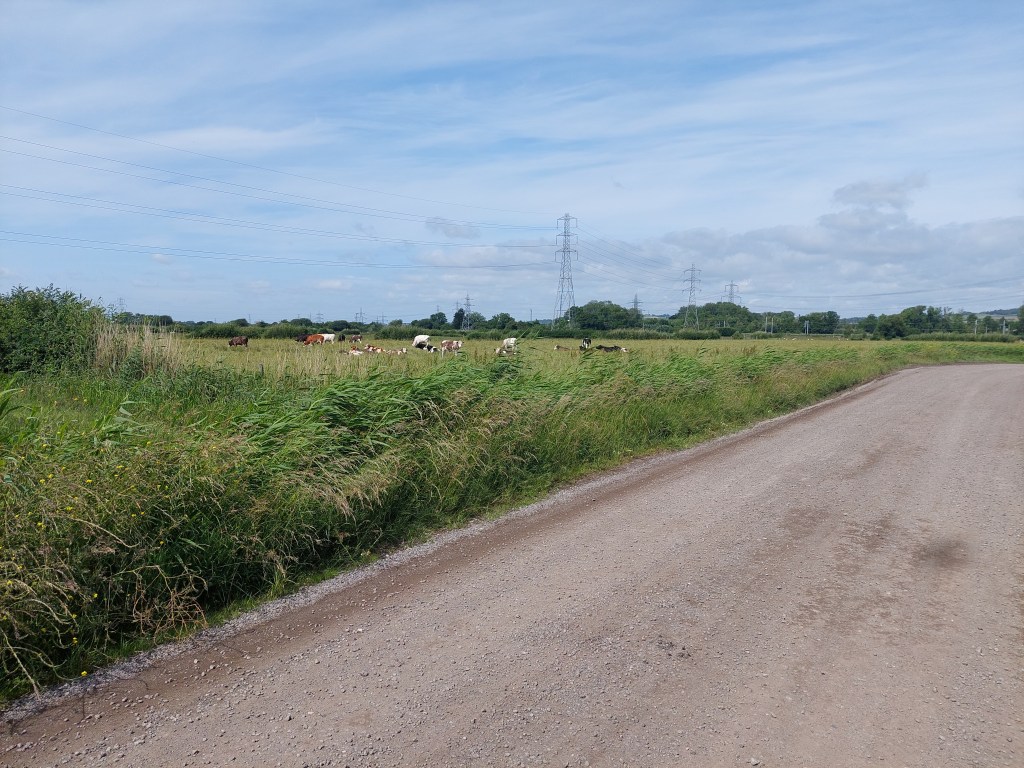
The track wound inland and up and over the railway before emerging onto a road. I was pretty desperate for a good coffee stop but without much success. A short stretch on an overgrown path followed, and then a rather desolate bit with lots of rubbish and school boys near a high school. It came out by a rugby club and eventually I found a bench in a children’s play ground after going under a main road in a tunnel and back over the railway line.

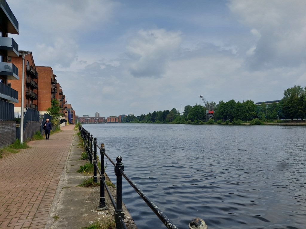
What followed then was an urban stretch through 2 out of town shopping areas, and a more pleasant residential area working around to the A48 and to the very closed Transporter bridge. It remained a very impressive sight and had a smart visitor centre – I wonder what has happened there?

It was again warm and sticky and walking next to a dual carriage way on a main road is not my favourite! I stopped and established a touching point by the Old Dock reach – and walked back into Newport for a mile, to pick up the 31A bus back to Lighthouse park from the bus station. This went a very convoluted route back (and took 50 minutes!).

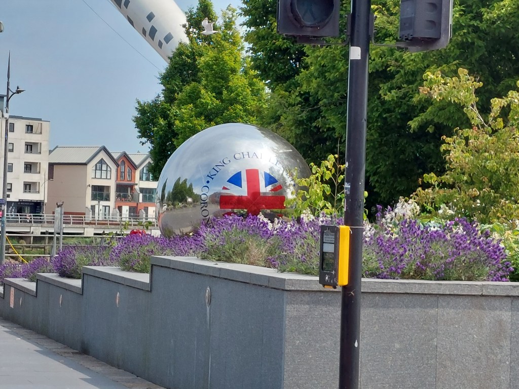
I liked the Coronation balls I saw as I walked to the bus station! I attended to some necessary shopping for food and blog writing when I got back to base camp!

Barry to Cardiff and a bit beyond!

Penarth to the edge of Barry

On the trail steps, 15,134 on the trail miles 6.33. Off the trail steps 5316, off the trail miles 2.

After some dithering over where to park the car, I finally found a suitable car park in Penarth – right near the coast path but a bit of a trek from a bus stop. It had toilets and a café too. I decided on wearing the old boots to give my feet time to get used to the new ones too. I set up a touching point by the café and the coast path and set off.

The initial stretch was lovely and very easy with many dog walkers! The sun was shining but it wasn’t particularly warm.  I moved onto a more conventional cliff path, and in places rather tacky after yesterday’s rain. The views were a bit obscured by overgrowth on the sea side of the path, but the views were great every time there was a gap.

It was a day of 3 detours round caravan parks and the first was named after Marconi as it was close to the spot where the first morse code message was transmitted. I passed a church dedicated to St Lawrence. I found a bench and had morning coffee, just after a section through a nature reserve. The second caravan park diversion was further inland, before leading down on the road to Swanbridge. This was territory I had covered once before on a circular walk from Cosmeston (another favourite Saturday afternoon spot with Jane and Jasper!).

After the 3rd caravan park, I hit Sully recreation ground. I resisted the temptation to go and browse at the busy car boot sale! The path led between the houses and the rocky beach, and again was busy with families and dog walkers. After an uncomfortable stony section for about ½ a  mile, I found a bench and ate my lunch there in the sunshine.

I went a little further along the beach edge, before the coast path turned inland. I didn’t succumb to the temptation of seeing dinosaur footprint fossils further along the shore (though the new coast path walk book was very enthusiastic about them)! I headed inland past the inevitable chemical works and walked back to yesterday’s ending touching point at the bus stop by Macdonalds on the edge of Barry. I was lucky that I had a about a five minute wait to get the 94 bus back to Penarth as they are only 1 an hour on Sunday’s.

Unfortunately, I alighted the bus at Penarth station, but then had a 20 minute walk back to where the car was. The bus ride was long enough to have got a bit stiff! All in all a good day, rounded off with a rum and raison ice cream at the car park café before heading back to base camp!

Penarth to the edge of Cardiff (De Haviland Street bus stop near Pengam Green Tescos!)

On the trail steps 18302,  on the trail miles 7.88.  Off the trail steps 5342, off the trail miles 2.29.

After making some phone calls, I set off from the Penarth car park I had used yesterday. I would have the same problem of getting back from the bus stop but it was a fantastic place to start. I was in my new boots, having done some adjustments to the insoles and lacing arrangements! I touched in on yesterday’s touching point by the café, and headed in the opposite direction, gently down hill into Penarth. As I got to the sea front, I saw the Waverley setting off from the pier (which was to have some friends on it later that day!).

It soon became apparent I would have to ascend over Barrage Hill. There was an excellent view point at the top. It was a bit overcast at this point, but I soon took off the waterproof I had on as I ascended the hill! The path gently wound down to the beginning of the Cardiff bay barrage through housing of typical style in Penarth! The walk across the barrage was interesting, and again the terrain of many dog walkers and cyclists… I contemplated a Mothering Sunday boat trip at Cardiff bay from many years ago!

I stopped for coffee and a caramel chocolate brownie at the Norwegian church, before doing the ‘city’ leg of the walk. The Norwegian church was another stopping point on trips into Cardiff from theological college! The sun was out when I left the café and heading through much of the redeveloped part of central Cardiff past the Millenium Centre and the Senedd building. I was heading for County Hall, when I got rather caught up in a large building site. I eventually found my way to the Atlantic walk – but I was less than confident it was going to work out – with lots of building work going on (and for once an absence of coast path signs for reassurance!).

What followed was a charming section on the side of the canal – but it was very overgrown – and I saw baby coots and cygnets! This led into a section on roads in a very built up area. Just beyond Lidl, I stopped again at a picnic area and ate some lunch whilst contemplating what to do. The walk book was a bit sniffy about the next section (and it was longer than I knew I could do at that stage of the day), and I took a shorter detour (which it did  suggest). This took me through Splott, Tremorfa (and Tremorfa park). It was quite a contrast in style but one of the things I love about this walking stuff is the variation in what is on the trail. I stopped at a bus stop by the Pengam Green Tescos, where I established a touching point to pick up the trail.

I then did a rather satisfying bus ride back to Penarth. First a number 11 into the city centre, and then after a bit of confusion on to the bus station (which I couldn’t find initially – it had been vastly redeveloped since my last visit 20 years ago! This was a case of where memory was not helpful! I realised eventually it was in front of me looking very smart in its new splendour!).  Then a 92 back to Penarth station and a repeat of the 20 minute walk back to the car park. As the bus ride was about an hour (though I had walked a much more direct route!) all told I was very stiff on the way back to the car so it was slow going.

Barry blessings

Steps on the trail 13,377 Miles on the trail 5.73 – Steps off the trail 4298 Miles off the trail 1.78

Good to be back on the trail after a gap year in 2024! Alot has happened since I last attempted the coast path, and much to ponder as I set off today. Yesterday I established base camp for a 2 week foray into the South Wales part of the path. Some of this is very familiar territory after my time in Llandaff at Theological College. Though this now feels a long time ago! Happy memories of Jane and Jasper came to the fore via starting in Barry Island (about 8 miles from base camp). This was very apt and is now looking a little more affluent trading on the Gavin and Stacey connection. Back in the day, Barry Island was a regular Saturday afternoon walk spot (as an escape) though usually in better weather than today. It was cool and intermittently rainy!!

I parked in the big beach car park, and heading off on the trail, establishing a touching point at the start and where I finished today. I used the first coastal path sigh I saw, in very fetching red livery. The first part of the path was very familiar and I contended with drizzly rain, as well as being overtaken by very hardy runners on a long distance run! I saw a refreshment stop for them further on. Signage for path was plentiful including rather impressive tiles on the pathway

It was me and the dog walkers initially! I stopped for a coffee once I had gone past the beach and the headland and round through some housing. The rain thankfully eased off at this point. Lots of varied housing including a large more modern harbour side development.

What then followed was a lengthy section by the side of main roads, as we skirted round the docks and then on to a chemical works. I did spot an orchid in an unlikely place on the first section. I was becoming aware of potential boot issues (I was wearing a new pair I haven’t got fully accustomed too!) and need some adjusting/wearing in. In order to prevent blisters, I stopped about a mile before I had really intended too. I set up a touching point by the bus stop and got a 95 back to within a 10 minute walk of the car. The bus did a long route around the outskirts of Barry first, so by the time I got off I was rather stiff.

I moved the car to a more scenic spot in the car park and ate my lunch in the car (as the rain was falling hard by this point once again!)! A good start

Circuit from Borth

Day 5 October 13th – Borth to Dyfi Ynyslas

On the trail 12,366  steps   5.6 miles 

Off the trail 11.046 steps 5 miles       

TOTAL 23,412 steps, 10.6 miles               

A short drive over the hill to Borth from base camp, and I parked in the road just above where I had caught the bus. It was overcast and sufficiently cool to warrant a woolly hat and gloves. As I looked to the hills and towards Aberdyfi I could see bright blue sky so I hoped that I would walk into the sunshine!

I availed myself of the conveniences, and found my touching board from Wednesday and set off! It was a walk through Borth, which was quite interesting and in places very colourful with artwork and a selection of dragons! It then cut out on the promenade. I was presented with an interesting dilemma of needing to choose between the Wales Coast path and the Ceredigion one. Decided on the latter, which takes me right to end of the coast here (less than a mile and a swim from Aberdyfi!) rather than a long inland loop to Machynlleth – which I am unlikely to be able to finish on this trip).

I was directed off the promenade and across the golf course, to a section on over grassy (and wet paths) through a reed bed and along the side of the Alon leri. This was long and heavy going as the grass was too long and a bit slippery and wet under foot. I eventually came out by a foot bridge along side the railway and over the Alon Leri.

I was in need of a coffee stop but I carried on after a section on road and a bridle way through to a nature reserve. Here I found a rock to sit on and took in a much needed coffee. The weather was definitely perking up and I seemed to have picked my time well as the tide was well out. I walked around the dunes to as close as I could to Aberdyfi (without getting in sinky sand!) and marked that as the end of the on the trail section.

I had a lovely walk back along a long stretch of sandy beach, seeing the occasional dog walker, lots of groynes and sea defences, the remnants of an ancient forest at the waters edge. I climbed back up on the promenade at Borth to have some lunch! It was at this point I was asked a couple of times to do a questionnaire by some teenagers on a geography field trip.

I did the final mile back to the car feeling rather stiff even though it had all been very flat! as I realised the distance I had covered in total was just over 10 miles!

Final running total for this few days!

On the trail 15.5 miles, off the trail 8.1 Total 23.6

448.7 miles on the trail!

Both ways from Clarach Bay

Day 1 and 2 October 9th and 10th – Clarach Bay to Aberystwyth and Clarach Bay to Borth

On the trail 8,918 steps   4.1 miles       12,576 steps       5.8 miles

Off the trail 5,186 steps  2.3 miles        1071 steps       0.8 miles

TOTAL 14,104 steps, 6.4 miles                14,666 steps    6.6 miles

A couple of good days on both walking from a touching point I set up on a rock at the far end of the static chalet and caravan park where I am staying at Clarach Bay (and on the coast path obviously!). Filling in a gap caused by Storm Ali in 2018 and generally recharging my batteries after a very eventful patch!

The first walk climbed up constitution hill, and I was rewarded with fabulous views over Aberystwyth. A slow steep descent followed! I then walked the promenade and round the harbour for another couple of miles. Weather ideal for walking!

And lots of dragons!

Eventually I walked back into town, and picked up a taxi back to Clarach bay (very decadent!).

The second walk was a good deal more strenuous and took me on a very uppy downy path to Borth. It was classic coastal walking and another good day for walking though windier. I didn’t cover the ground very fast but concluded better to be safe than sorry!

It was a great day for fungi!

I established a touching point in Borth, and got the bus back to Aberystwyth and then another decadent taxi to Clarach bay.

The weather forecast probably precludes much progress tomorrow, which looks like it is going to berather wet!!! Maybe a good day for catching up a novel or knitting!

94 and 433

Day 14 June 22  – Bosherton, Stackpole Quay, Barafundle, Broad Haven and back to Bosherton

On the trail 11,259 steps   5.1miles

Off the trail 6,643 steps  3.1 miles

TOTAL 17,902 steps, 8.2 miles

Took the car beyond the army firing range to the National trust car park at Bosherton, for a final coast path walk! One I have done several times before, and particularly with Jane in the Autumn of 2013… nearly 10 years ago. I knew I was in for a real treat, and it began with the inland section to Stackpole Quay via the beautiful lily ponds (lilies out) and 8 arch bridge, followed by about a mile on a farm track over to Stackpole Quay. I paused for coffee and barabrith (very good!) in the National Trust café.

It was warm with a light breeze and really good walking conditions for the next part of the trail.  I set up a touching point (for days on the trail ahead) before a very civilised ascent up National Trust steps and over the headland to Barafundle, which is a really beautiful place – with the classic through the arch view, followed by a very civilised descent on sandy steps courtesy again of the National Trust. I walked across the beach and I had a rest on a rock in the shade before the ascent on to the headland beyond Barafundle. There were also lots of views of what is to come when I return to take up the trail in Pembrokeshire again at some point.

I walked a good way round the headland with views and craggy bits and could feel the breeze throughout which was a blessing! Eventually I made it to the other side and remembered that the path over to this headland was a bit weird – I came through on a small path through the bracken and in the end climbed down some rocks (not advised!) to get onto what I now know is called Broad Haven beach. I have visited this beach many times on the lily ponds walk but never known what it was actually called.

I found a spot to sit on the sand and have some lunch and just enjoy the beauty of the spot. It was not very peaceful as somewhere up on the headland there were some people strimming, and the army was firing on the range and there were other people around too (not as remote as some of my lunch spots). The final section was back past the shady side of the lily ponds and up to the car. I set up a touching point at the end for another day!

This has been a very good break in a comfortable base camp and making good progress on the trail. The weather has been pretty fabulous – one day wet, two days a bit hot, and the rest pretty perfect! Here are my final totals. On this trip I have completed 70 miles on the coast path, 24 off the trail, and 94 miles in total. And overall I have done 63 miles off the trail, and a staggering 433 miles of the Wales Coast path!

Dale and Freshwater West challenges!

Day 12 June 20 – The Dale peninsula

On the trail 17,751 steps  8.1 miles

Off the trail 3,212 steps 1.6 miles

TOTAL 20,963 steps, 9.7 miles

I drove to Dale, and parked up. I have walked this part of the trail before (on a very cold day I recollect and probably about 12 years ago). It is also in my Ordnance Survey Pembrokeshire and Gower walk book. I decided to do the walk the opposite way round – with the more challenging side of the peninsula on the outward leg, and the easy section which mostly maintains height on the way back (with one long descent at the end). I found my touching point from my last visit to Dale, and decided to avail myself of the café at the end of the walk. Conditions were good, sunny, gentle breeze about 20 degrees! I found the conveniences and then set off!

 The initial section wound up to Dale fort on a minor road through trees. From there it began a steady run of open headland climbs, descending to the shore and back up again. There was a particularly nice section above Watwick Bay. I stopped at a convenient step by a disused walking gate. This was the first time I met a couple with Milly the dog! They helped too as they tried a route that look right but wasn’t so I didn’t go on to make that mistake.

In all there were 4 ups and downs on this side of the peninsula and the walking was splendid if a little sweaty. The final ascent came out to the cottages near the end of St Ann’s head. By this stage I was looking for somewhere to have lunch. Eventually I sat on a bench by a closed lighthouse café. This was a bit sad, and not the first closed café I have seen (Pembroke High Street had several). As I was eating, the couple with Milly passed me again, they had stopped on one of the beaches along the way for their lunch.

The path down the other side of the peninsula was as I had remembered it, and much easier than the outbound leg of this walk. The views were fabulous. The path varied from narrow and overgrown to a wide grassy track (which you could imagine Ross Poldark riding his horse along). I was particularly delighted with the views of Skokholm and Skomer Island and further along a clear sighting of the unmistakable shape of Grassholm island I had visited. Eventually the Hookies and the Dale airfield came back into the view from previous walks on this trip! I overtook Molly and her guardians again on this stretch as they had a rest before the final descent.

The final descent (not always my strength) was OK and I carefully managed a long stretch of uneven steps. Then I reconnected with my touching post this side of the peninsula, and walked back to the toilet and the café for another piece of their excellent coffee cake. I also saw another of those odd trail signs with the frog on it!

Day 13 June 21 West Angle Bay to Freshwater West

On the trail 10,182 steps    4.7 miles

Off the trail  steps 8,947 steps 4.1 miles

TOTAL  19,129 steps, 8.8 miles

Well. It started early so I could catch the Coastal Cruiser from Freshwater West back to West Angle Bay and then walk back. There was a great view of the beach from the bus stop, and I was looking forward to walking on it  later (and when the tide was out!)

On the bus were various other walkers and people going to Pembroke to go shopping. Gordon (the driver) warned the path was ‘challenging’ and I bore in mind his statement about 7 steep ups and downs ahead. No chance of availing myself of the café as it wasn’t open when we got to West Angle, but I did use the toilets and, touch my touching point set off!.

I had made a promise to myself after some challenging terrain from Moylgrove to Poppit Sands in 2021, that I would turn back if it got like that again!

Well, the first couple of miles were very pretty and gentle, with fine views over to the Dale peninsula I had walked yesterday. Conditions were good.

Then came the warning sign, which was rapidly followed by the first steep and rough down and up section, which was also very near the edge of the cliffs, which I negotiated carefully. This was much more difficult terrain than I had been doing yesterday. I did a second one but above the third one, which was very rough and unstable as well as very edgy, I decided this was really not for me. I had a coffee and turned back! There are times when the sensible choice is the best one, and I wasn’t enjoying the jeopardy at all.. I set up a touching point but I doubt I’ll be  back!

After I left the steep sections, it was a lovely walk back. I had enough time to have a leisurely lunch on West Angle beach, and a mint choc chip ice cream from the café. I talked to one of the other walkers from the bus  and we caught the bus together. I returned to Freshwater West. Gordon the driver dropped me at the far end of the beach, I set up a touching point back on the trail and I walked through the dunes, to below the cliffs at the far end of the beach. I was very glad on closer examination of the coastal path above me on the cliffs I had made the choice I had!. Walking on the beach got me level with the first 2 ups and downs at the other end of the walk (and probably means I only missed about 2 miles of the trail!)

The beach was absolutely fantastic and is the one used in the final Harry Potter films (and where Dobbies’ grave is!). I didn’t walk through the dunes to find that, but the beach and the dunes were clearly recognisable and it was a glorious afternoon for a long stretch on the beach. I walked to the edge of Gupton Burrows on the beach, but could see the edge of the firing range and the warning flags (and hear them using it!).

I returned to the car, and as I am going to have to wait for another occasion to do the walk round the edge of the range (when the army are not using it!!). I set up a rock touching point at the most distant point of the beach I got too, near a very large rock pool.  I then used the car as a transitory touching point, so I can walk from Bosherton tomorrow as a finale to this section of my walking the Wales coast path.

Rest and a cunning plan

Day 10 June 18 – Rest day

Had a very leisurely start to the day. Tidied up abit, and wrote some mock post cards, which I then printed. Sad about the demise of the post card, but can see people communicate so rapidly these days that they have gone out of fashion! Anyway job done and a few emailed (as I don’t have all my address book following my pc issues just before this holiday. Hoping to rectify that when I get home!.)

Did some food preparation and shortly after that Rhiannon and Pero arrived and a good couple of hours of chat, lunch and a walk on the beach at Freshwater east followed. Following that I chilled and contemplated route planning for the next couple of days – which needs to include a return trip to Dale to finish off the bit I haven’t done yet (though I have walked it before on a very cold day!).

Day 11 June 19 Hundleton to Angle

On the trail 24,855 steps    11.5 miles

Off the trail 3,685 steps 1.7 miles

TOTAL 28540 steps, 13.2 miles

Drove to Angle, availed myself of the facilities by the beach and then returned to a car park in the village, near the bus stop. I caught the 9:29am bus back to Hundleton, with the same driver as on Saturday. It seemed a very long way back, but tried to stay undaunted by this. I walked back to the gate post which was Saturday’s touching point and I had hatched a cunning plan.

The real route was set to go around the outside edge of a power station and another enormous refinery. I decided I really couldn’t face yet another long walk around a perimeter fence, and had hatched an inland route. It started on the road I had got to on the coast path on Saturday. I didn’t deviate from this when the path skirted off to the right. It meant about 5 miles on a very minor road (only 3 cars passed me for the entire duration). This route went up and down several times and then climbed gradually up to a cross roads. From there Angle bay came into view and the power station/refinery were also very present throughout!.#

It started well, but unfortunately there was one of the low bits that got a bit marshy and there was an enormous number of very over friendly horse flies. It was quite a steep climb, so I couldn’t really do anything other than bat them off and discourage them with my walking poles. A lady with a jack Russell also helped me by knocking them off my trousers. She was the only person I saw walking on the road. As we got to the top of the hill, the horse flies diminished,  but it was a good 10 minutes of jeopardy. Sadly the lady with the dog had to go back the way we had come! I had taken the precaution of jungle formula on my legs and thicker trousers and I had too many layers on my top half to be accessible. I had suffered last year after a suspected horse fly bite. And they were nothing like as prevalent then as they were this morning!

I decided to wait to stop for coffee until I reached the shore at Angle bay, which turned out to be about 11:40. I found a concrete block to rest on and had a breather.

The walk around the bay was easy going (occasionally a bit overgrown) and consistently low, finishing with a lovely wooded bit on the edge of an estate near Angle. After a couple of false starts, I eventually found Ben Couzen’s bench for lunch via the very discrete toilet at this end of Angle. I contemplated what to do and decided to do a little more round the headland (mainly in case it turned out I had been bitten by a horse fly and would not be able to do any more if I reacted like I did last year). It was also ideal conditions and I felt I had enough in my legs to do it. It was a lovely section, looking across to the end of the Pembroke Estuary and finally came out of the end of it and back to the coast line looking across to Dale and beyond.

Stopped on a well placed bench for a breather and then in the café at the beach end of Angle for some rum and raison ice cream, after I had established a new touching point. Hope I will use if before the end of the trail (for now on Friday!).

Tidal crossing jeopardy!

Day 8 June 16 – Dale to Sandy Haven

On the trail 7.5 miles  (including my diversion!)

Off the trail 2.5 miles

TOTAL 21744 steps 10 miles

Up early to drive to Herbranston, and park by the beach in the free car park. I then had to walk up the hill to catch the Fflesci bus I booked yesterday to take me to Dale. I was there for 9am and the bus came about 9:20am!. On arrival in Dale, there was a convenient café, which served excellent coffee cake! I decided to do an extra bit to contribute to the Dale peninsula walk still to do. This turned out not to be the wisest choice.

I got to my touching post near Dale airfield, did a short section of the coast path, established a further touching point and back into Dale, which all took about an hour!

And then I started the walk for the day, which started with about ¾ of a mile on the road before reaching the Gann, and interesting section of marsh and stony beach and the first of the tidal crossings. It was only after this, that I realised I had made a tactical error because the car was on the other side of the second tidal crossing and that I wasn’t entirely sure of the tide times! Based on what I saw yesterday at Sandy Haven, I guessed I had a couple of hours before there would be a problem but not more than that! This was an unfortunate awakening and I wished I had cracked on with this walk rather than doing the extra bit in Dale!! (and if I missed the crossing point due to the tide it would add a further 2 and a half miles – the coast path walk book particularly did not recommend this!). I had also slightly misjudged the distances involved on this coastal section too! It being further than I had thought. All in all planning not the best!

So I had to keep the pace up on the initial stony beach section and a very overgrown section. It came down to a wall around a bay and I had a brief stop on the path at a bench (which was too high from the ground). I did another couple of miles (which turned out to be quite up and down) and energetic. At least the path was not so overgrown! Eventually I came to a point where there was a path off the coast path. I was now about half an hour from when I was not certain about the tide! This was not good for my nervous system.

I decided to take an inland route a path and the road for speed mainly (as I really didn’t want to do the extra 2 ½ miles if the crossing was underwater). I was also tired and had already done an average days steps. I knew I could do the distance on the road in about 30 minutes (where as the coast path would be slower). It was not ideal but I took the inland cut! Thankfully I arrived with more than enough time to cross the tidal crossing (via my touching point). I returned to the car and had my picnic (using my folding chair) over looking Sandy Haven beach (until it started to rain), before heading to base camp!

Day 9 June 17 Pembroke to Hundleton

On the trail 7,276 steps 3.33 miles

Off the trail 5,924 2.67 miles

TOTAL 13,200 steps, 6 miles

 I woke up to heavy rain and achy leg muscles after yesterday’s exertions. I dithered over what to do and eventually settled on driving to Pembroke and doing a circuit including the coast path to Hundleton and back again. Before starting I attempted unsuccessfully to buy postcards so got some envelopes and will improvise! I then had a coffee and some restorative barabrith before making my way back to my touching point from the trail from Pembroke Dock.

I started and it began with a choice of routes around Pembroke castle. There were lots of flags (hopefully marking the King’s official birthday), and I took the outer ring. Then up a side road and up a cut passed the church at Monkton (which was an abbey church due to historic monks!). I walked along the road for about a mile following the trail. I passed some folk keen to give me refreshments – which were really for people doing an ultra marathon! I proceeded to see many runners on the next part of the trail. I also worked out where I could get a bus back into Pembroke if I came back the same way from the far end of Monkton.

The coast past wound down to the edge of the pembroke river estuary (with flood poles) and then up into a series of field with views down to the river and across to the territory I had walked earlier (and particularly last Saturday’s refinery with the scary bridges!). The weather had perked up a bit and I encouraged all the passing runners I met! Eventually after a challenging stile, the path joined a road gently uphill and coming out near Hundleton. I stopped some runners going the wrong way at that point, as I established a touching point (including a running route orange ribbon), before turning off the path into Hundleton.

I was heading for the benches at the centre of the village for lunch, and was contemplating the bus timetable at the bus stop, when the Coastal cruiser stopped on the other side of the road. I had a discussion with the driver (who was eventually going to Pembroke) and hopped on board (as this seemed a good option to get a sense of where this bus goes) and how I might be able to use it. It was also a good option for my achy legs! An hour on the bus followed, which was helpful. The next bit of the trail is going to be challenging with the buses and the distances etc… There is yet another refinery and I may yet have to be creative with my route planning! Certainly don’t want a repeat of yesterday’s debacle!

Grassholm and the wrong bus!

Day 6  June 14th – Day off – boat trip to Grassholm from St Justinian’s nr St David’s

Had a leisurely start to the day and was glad I was finally going to get to go on 2022’s boat trip. Can’t say I wasn’t apprehensive about it too as I am not the greatest sailor! It was hot! So I was glad I wasn’t walking. I drove to St David’s and parked at oriel parc. I had a coffee and a cake (a gluten free carrot cake which was very tasty) before being a bit of a tourist in St David’s. No success on finding sun hats or suitable postcards.

I didn’t go in the cathedral as it was shut (and numerous groups of children were having picnics prior to leaver’s services). I went to see where Jane is in the cremated remains plot, and paused for a bit. There were some very impressive new beehives near by (I am sure she would approve!).

I walked back up in to town and then had a very leisurely lunch back in the oriel parc café. I made my way to St Justinian’s and had an ice cream, before proceeding to the embarkation point for the boat!

We left about 4:30pm on the blue shark and it was a super trip. Ideal conditions on the way out seeing Dolphins and on the way back some of the others saw a whale fin (needless to say I was looking in the wrong direction at the pivotal moment).

As we approached Grassholm the number of sea birds increased exponentially. Gannets, kittiwakes, razor bills, puffins, manx shearwaters and seals! The smell was overwhelming and as we held position and went round the island. It was quite choppy (and I didn’t feel particularly good). It was a sight to behold on a sunny evening.

One thing really struck me as we were heading out to Grassholm that I had walked all the coast path I could see for miles and miles and miles….

Day 7 June 15 Milford Haven to Sandy Haven

On the trail 2 steps 13,413 6.25 miles

Off the trail – steps 6219   2.84 miles

TOTAL 19382 steps, 9.09 miles

I tried to make an early start so I could walk before it got really hot. This was not entirely successful. I drove to Milford Haven and parked the car (and availed myself of some convenient conveniences!). I walked back to the touching point I had established by the war memorial on Saturday and then on to the bus stop (mostly on the trail) by Milford Haven tescos.

I proceeded unhelpfully to get on the wrong bus! It started ok going through Haven and Hubbeston, but when it started to go in the wrong direction completely I realised my error. I had said Herbranston to the driver but I thing he thought I had said Haverfordwest!. So I walked back again towards Milford Haven tescos. I decided to walk on from there and then catch the bus back where there was less potential for getting on the wrong bus!

Initially I walked through the streets of Haven, and it was a bit up and down and rather hot! I came down a cut to Gelliswick bay to encounter a large fox! I walked round the bay, and then onto a tarmac path round the first part of South Hook LNG terminal. There were many, many signs asking me to keep out and away and lots of imposing fences. Instead of a scary bridge over the pipes, I descended to a beach with many intimidating notices (especially about not lighting a barbecue!) to go under the pipes this time. I reascended up on to the low headland. It was no longer a tarmac path fence on one side (with notices!) and then hedges and overgrowth so not much in the way of views. I eventually stopped when it was low enough to peer over and had a coffee sitting on the path! (I saw no-one on this section of the path!)

After that it got more scenic, I did see some workers from the LNG terminal on a higher path to me (a hot day for wearing high vis and hard hats! There was even a sign to say I had finished the walk around the LNG terminal (in case I could not work this out!)

The path followed the low cliff edge and eventually went down to sea level. I succumbed to temptation and went on to Sandy Haven beach and did about a mile on the beach rather than more of an undulating low path. It was lovely, with a cooling breeze, and occasionally more hazy sunshine. I walked round to the river crossing to the next part of the trail (and was relieved to see a bridge rather than stepping stones). I crossed and established a touching point for another walk, before crossing back to a shady spot for lunch on a rock.

After a leisurely lunch watching passing horses and dog walkers, I went off the trail though the long way round if the bridge was inpassable) up to Herbranston. I had half an hour on a hot bench on the green, before the bus took me back to Milford Haven tescos. I walked round to the car park (the third time I had walked on that particular piece of road today) and reconnected with the convenient conveniences! Before coming back to base via a trip to Lidl!