Under the bridge!

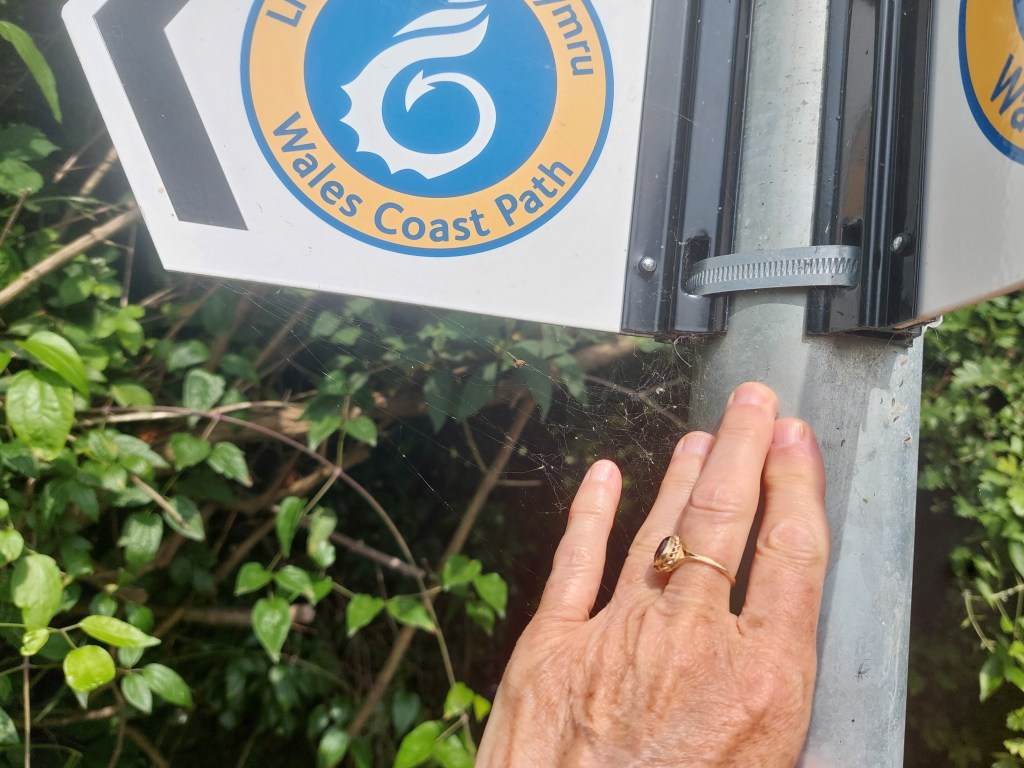
Goldcliff Sea Wall to Calicot

On the trail steps, 15,098 on the trail miles 6.5. Off the trail steps 3076, off the trail miles 1.3.

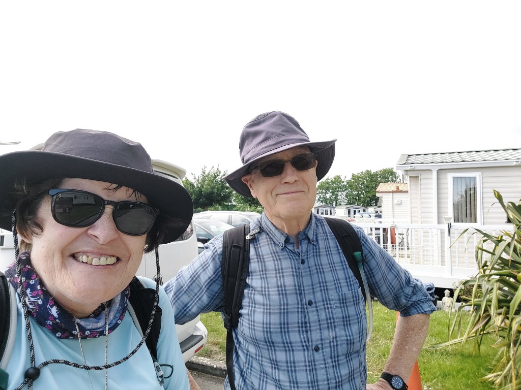
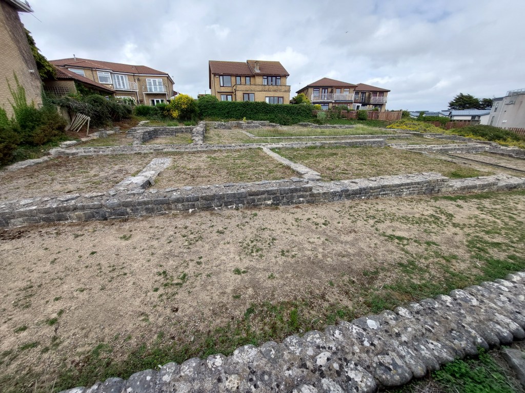
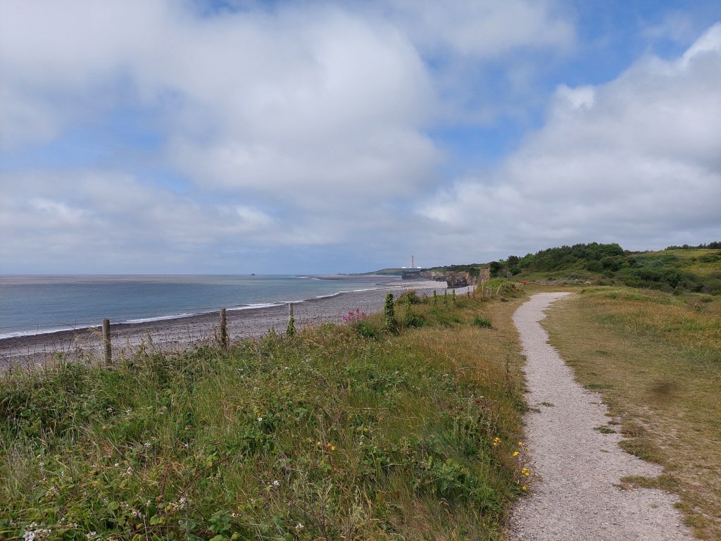
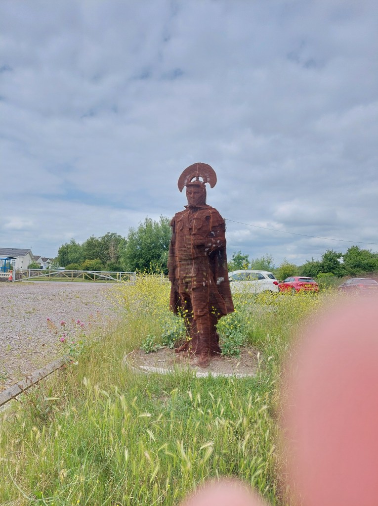
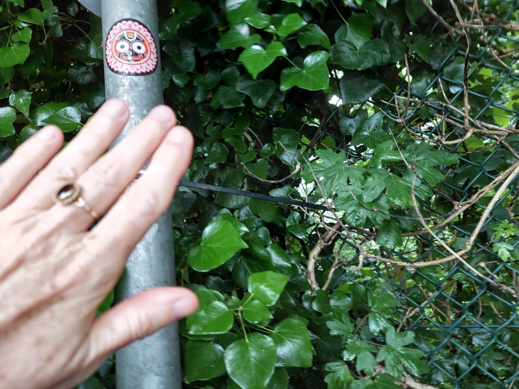
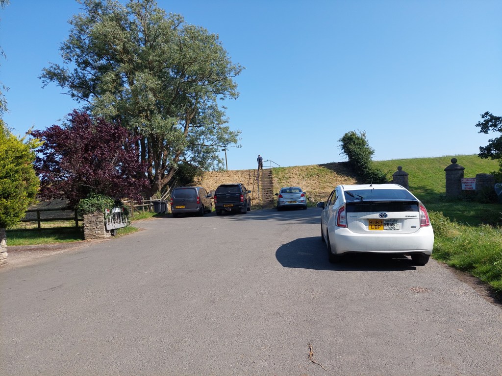
I drove back to the Goldcliff sea wall parking place, and set off on the embankment after reconnecting with my touching place from Saturday.

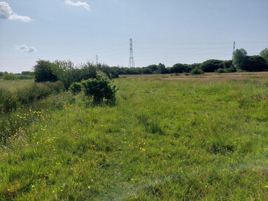
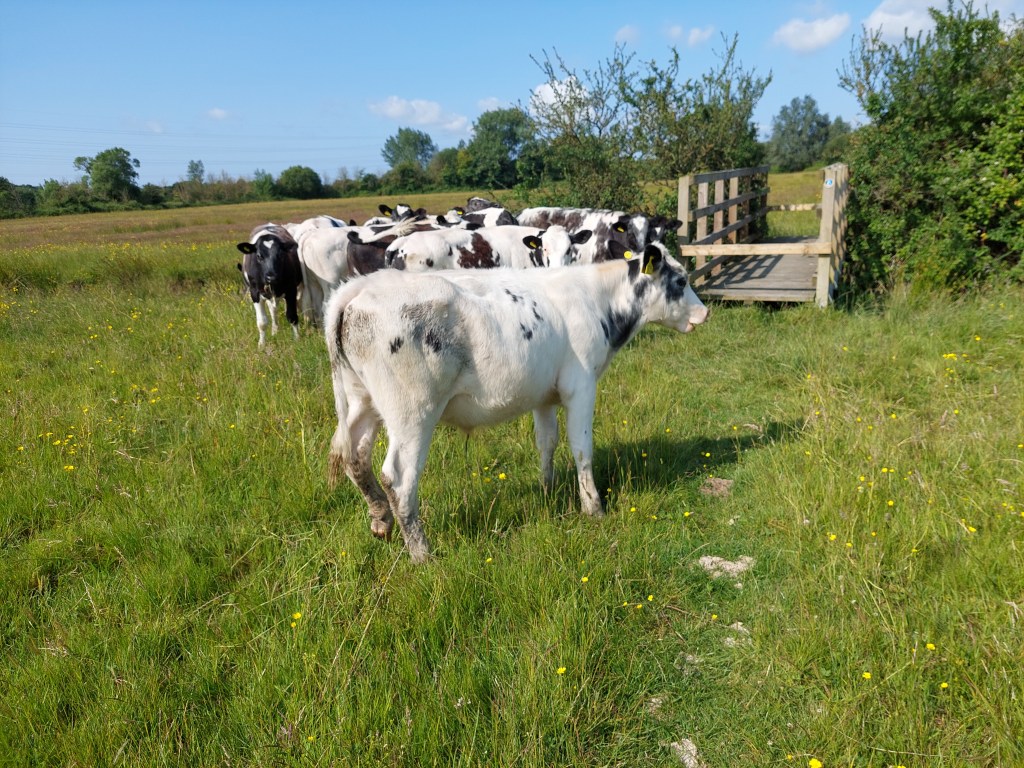
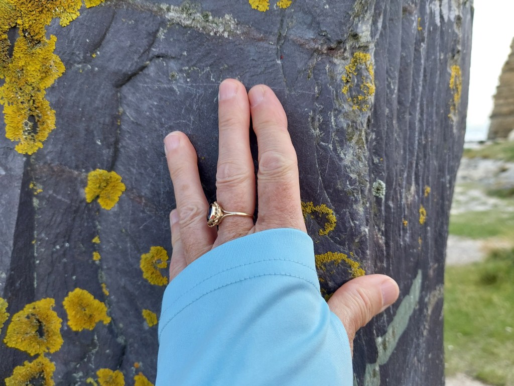
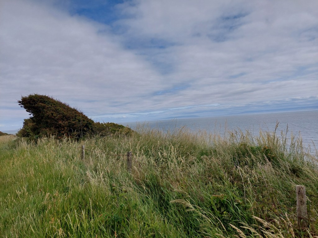
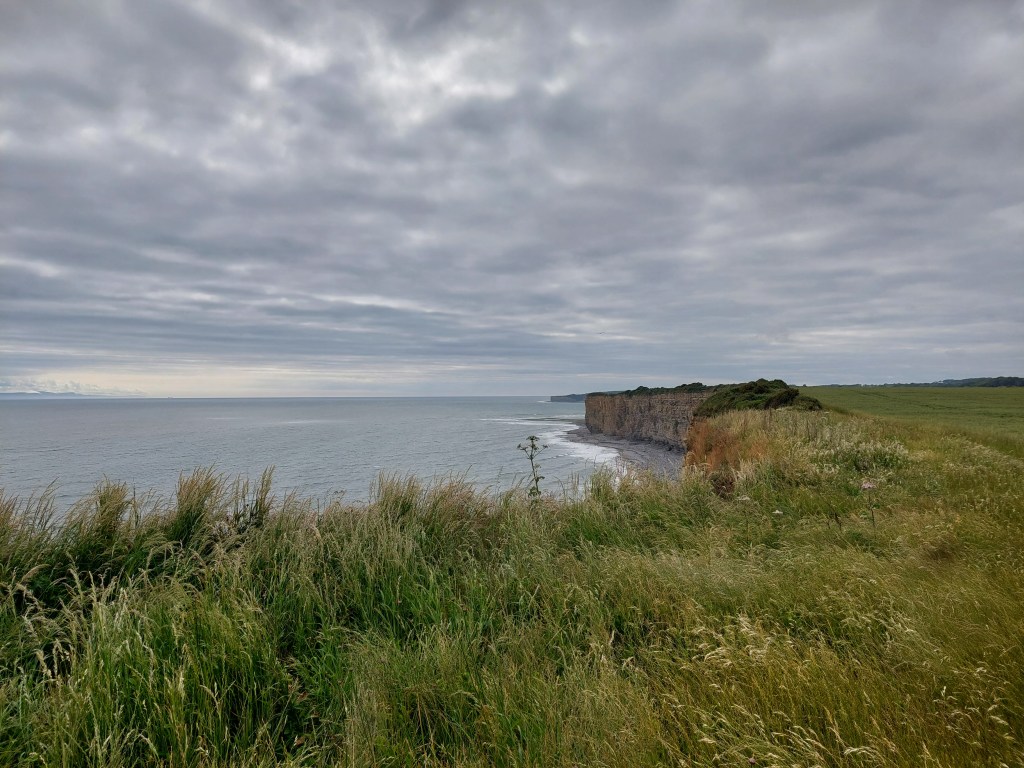
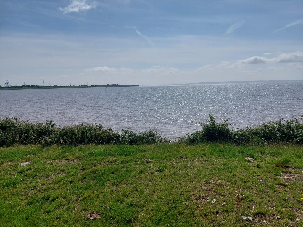
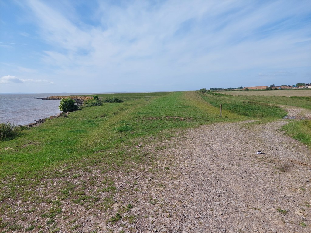
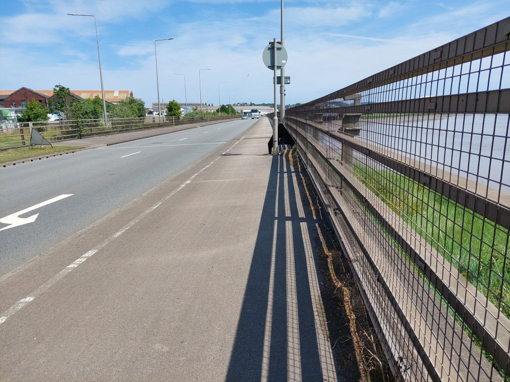
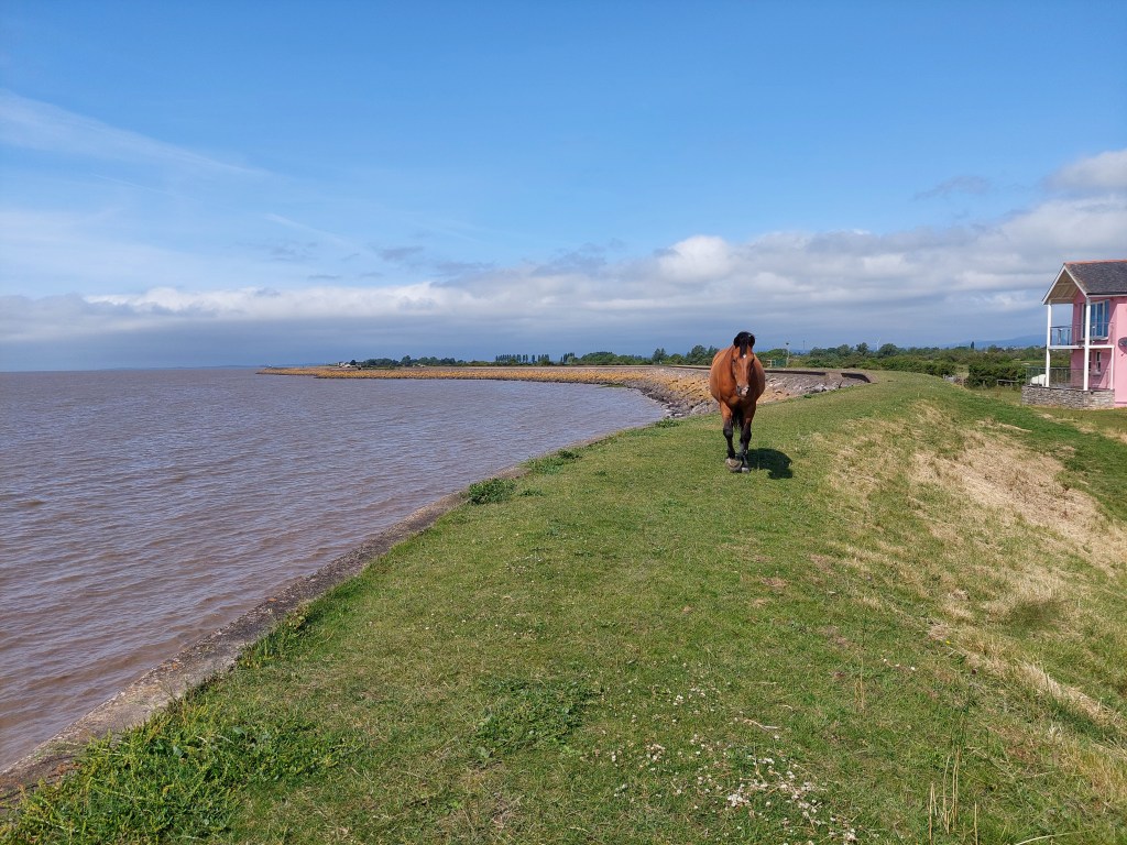
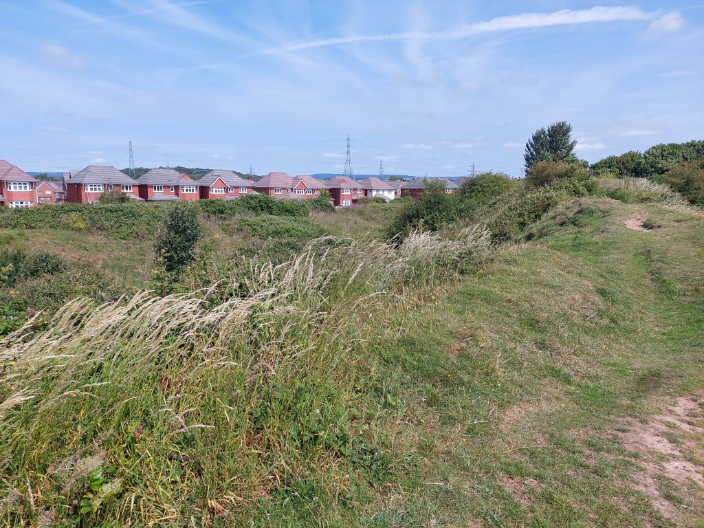
All was well on the embankment to begin with and progress was good. A combination of things made life a little more difficult. First of all there was a small holding with a very affectionate horse – who made access difficult as it was less than a foot from the kissing gate  and then followed me albeit at a better distance to the kissing gate on the other side. Second it got increasingly overgrown. I have known for some years that they do mow aspects of the path, but this needed doing and the cuttings from last time were adding to the difficulty. This is clearly not the most used part of the path! Other sections had not been maintained and needed it! This made it very slow going for about 3 of the 5 miles on the embankment. The view was encouraging and I had a couple of coffee stops on steps down to the estuary side of the embankment.

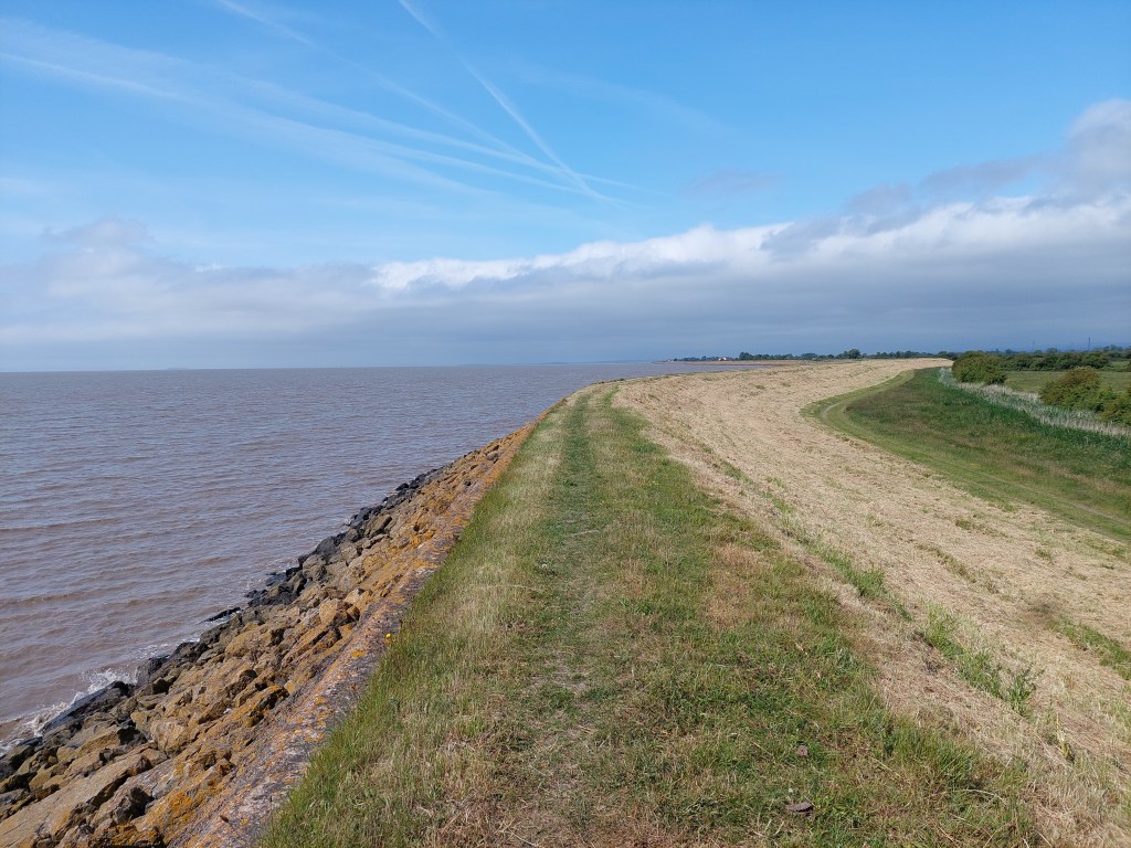
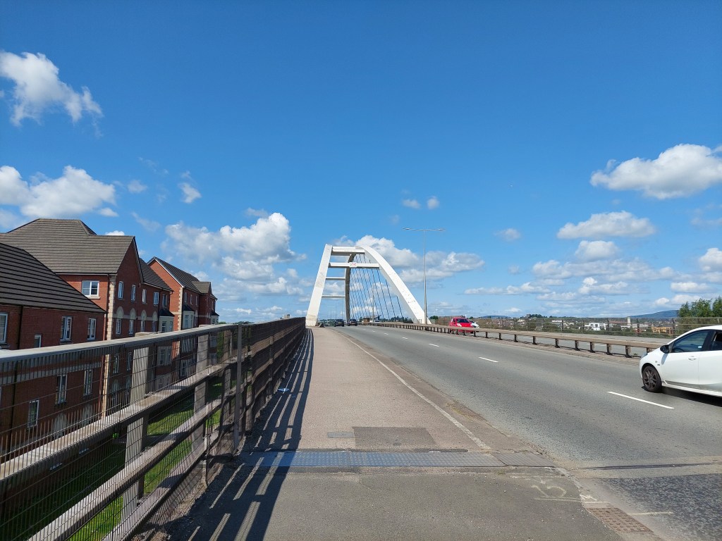
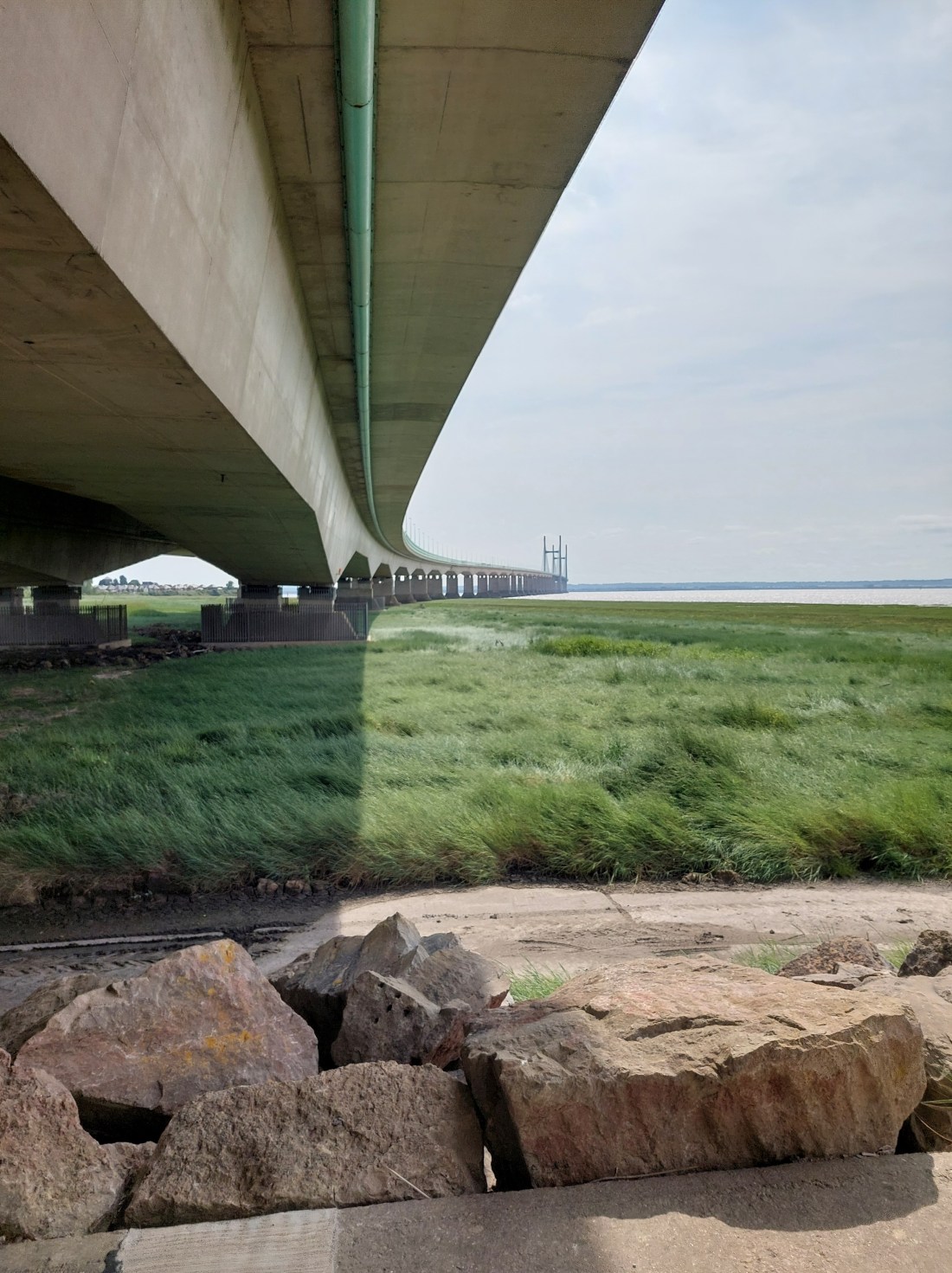
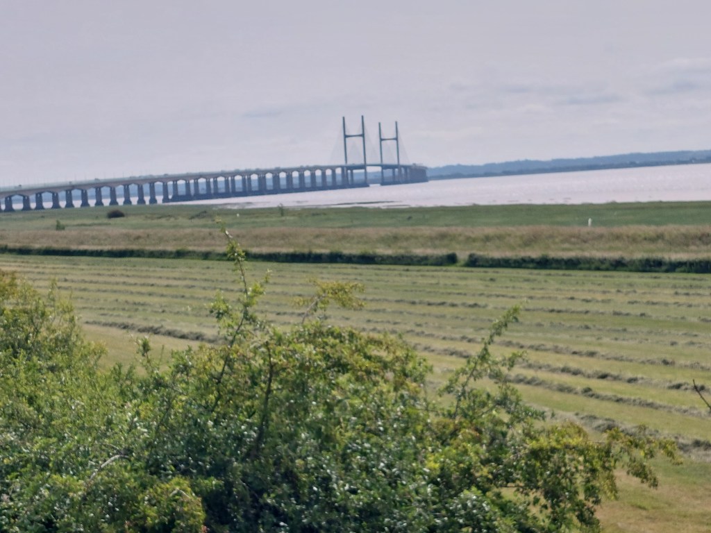
It was nice to see the Prince of Wales bridge getting nearer and nearer! I saw 2 walkers and a tractor the entire way! Rather remote!

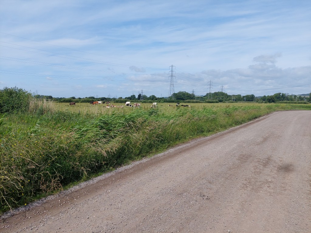
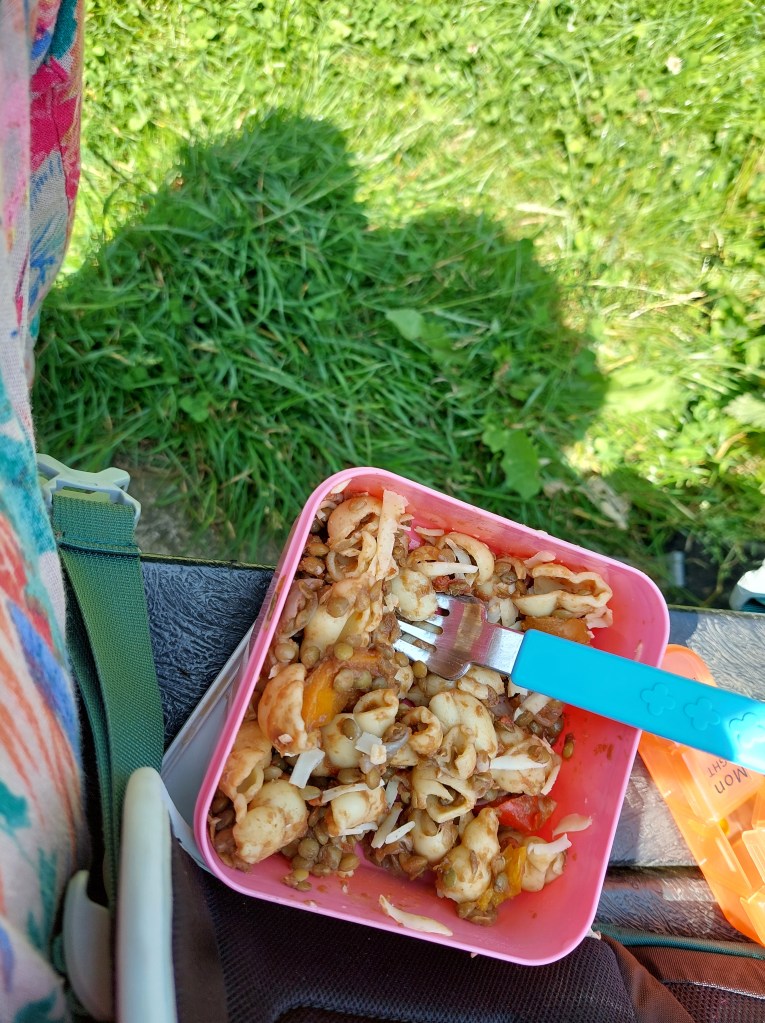
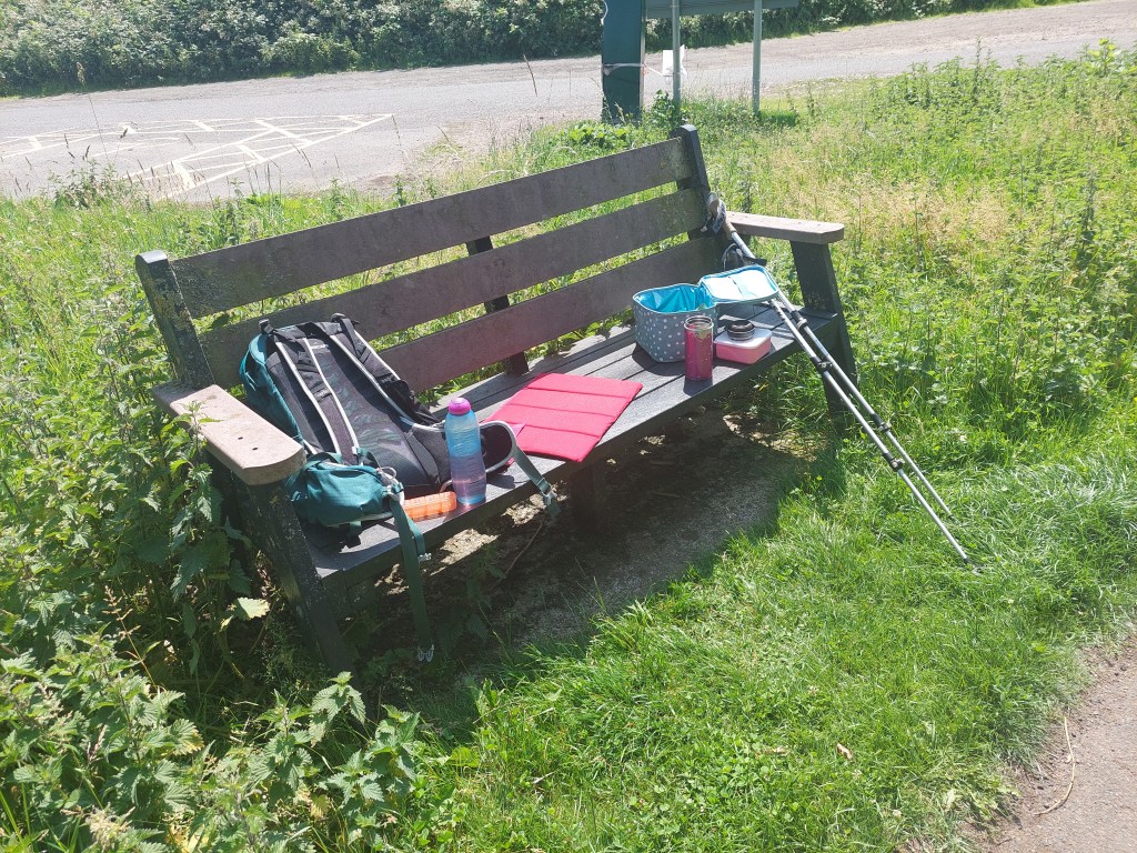
It was also important not to overshoot on the embankment and get into a firing range. This was slightly tricky as I was on a section where I didn’t have the map on my phone (being off the edge of the Newport map and not quite on the Wye valley map I did eventually find the spot to turn off inland – but no where comfortable for lunch. So I took the inland cut – which joined the cycle path. After another hot mile in the heat of the day I  crossed the M4 on a road bridge – I took a detour into Rogiet country park and found a very suitable and much needed lunch bench.

It was then another mile to Caldicot station and a short wait for the hourly train service back to Newport.

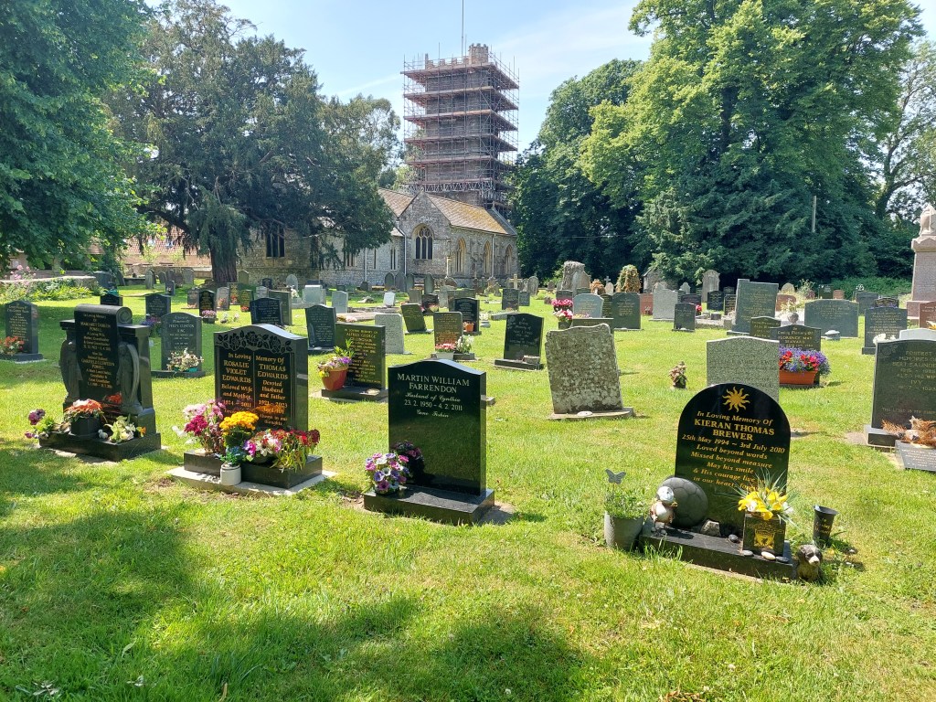
 On arrival in Newport station, I ordered another Veezu taxi. Pick up was a bit more tricky and I got in the wrong place apparently (how was I to know!). The driver took me to the sea wall at Goldcliff and he was very taken with it! He was still there taking in the view when I left to drive home.

Caldicot to Chepstow

On the trail steps, 23,488 on the trail miles 10.11. Off the trail steps 4813, off the trail miles 2.

I started out early so I could get parked up in Chepstow and on the 9:21 train to Caldicot. Alas no room in my first choice of car park, so I missed the train. The car park I used (Castle Dell) turned out to be very fortuitous at the end of the day but I didn’t know that then. Using the Newport bus app, I walked uphill until I found the bus station and got a bus (X74) back to Caldicot which was a quicker option than waiting for the next train.

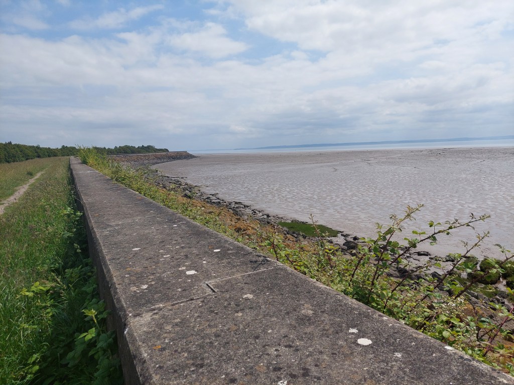
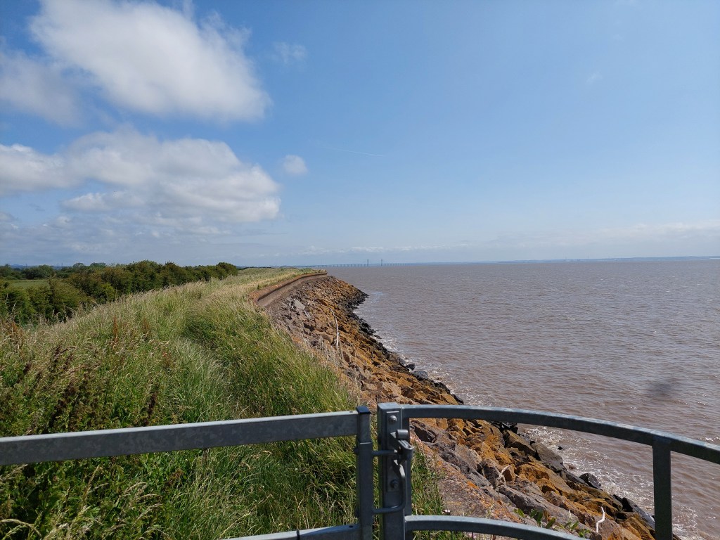
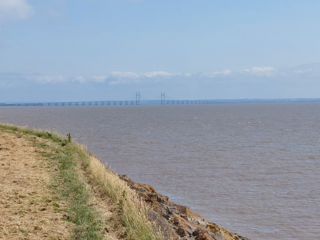
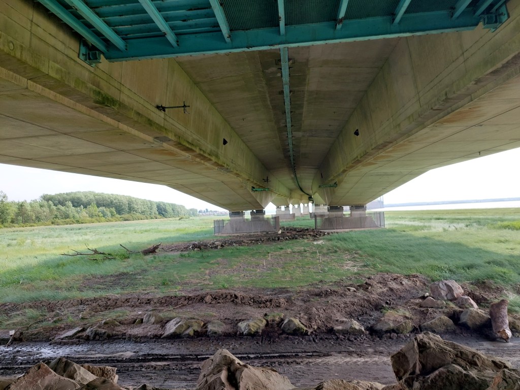
I walked from the bus stop to my touching point and set off! It was another ½ a mile on the cycle track and a footbridge over the M4 followed by several miles back on the embankment next to the estuary. This time I crossed under the Prince of Wales bridge – which was really quite cool!!

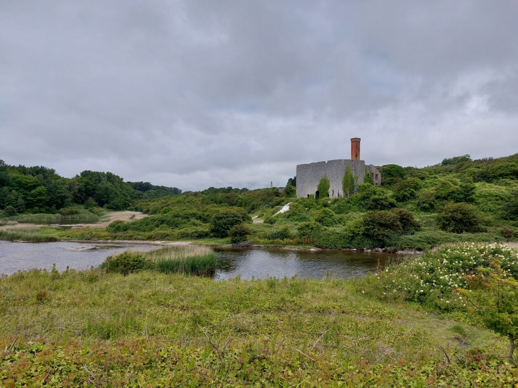
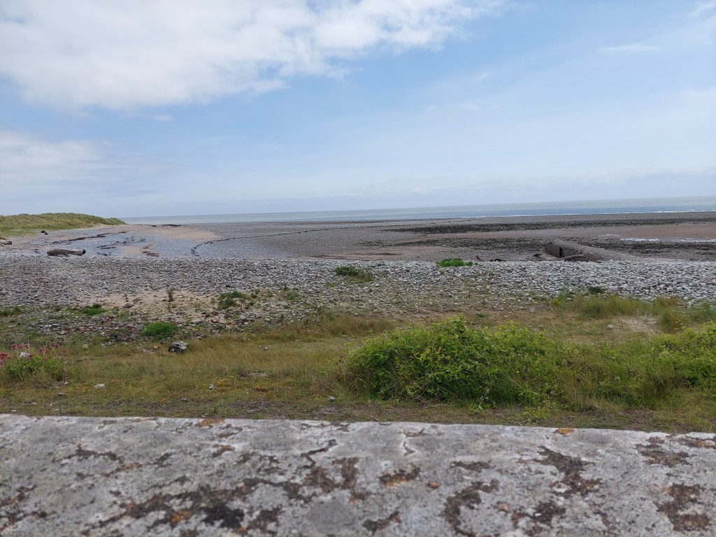
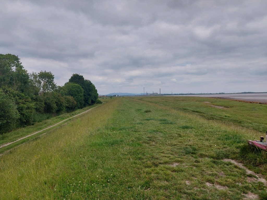
I stopped for a coffee in an iron age fort at Sudbrook, and a suitable bench looking across to the Prince of Wales bridge. I then carried on for about 4 miles of embankment walking with a short breather at the black rocks viewing point. This time the M48 bridge was getting closer in front, and the Prince of Wales bridge getting further away behind! As I started the trek back inland and over the railway I got back on the map on my phone – this time the Wye Valley one. This helped as the route involved crossing various fields and was not always very clear! I had a shady lunch on a warm day in Mathern Church yard.

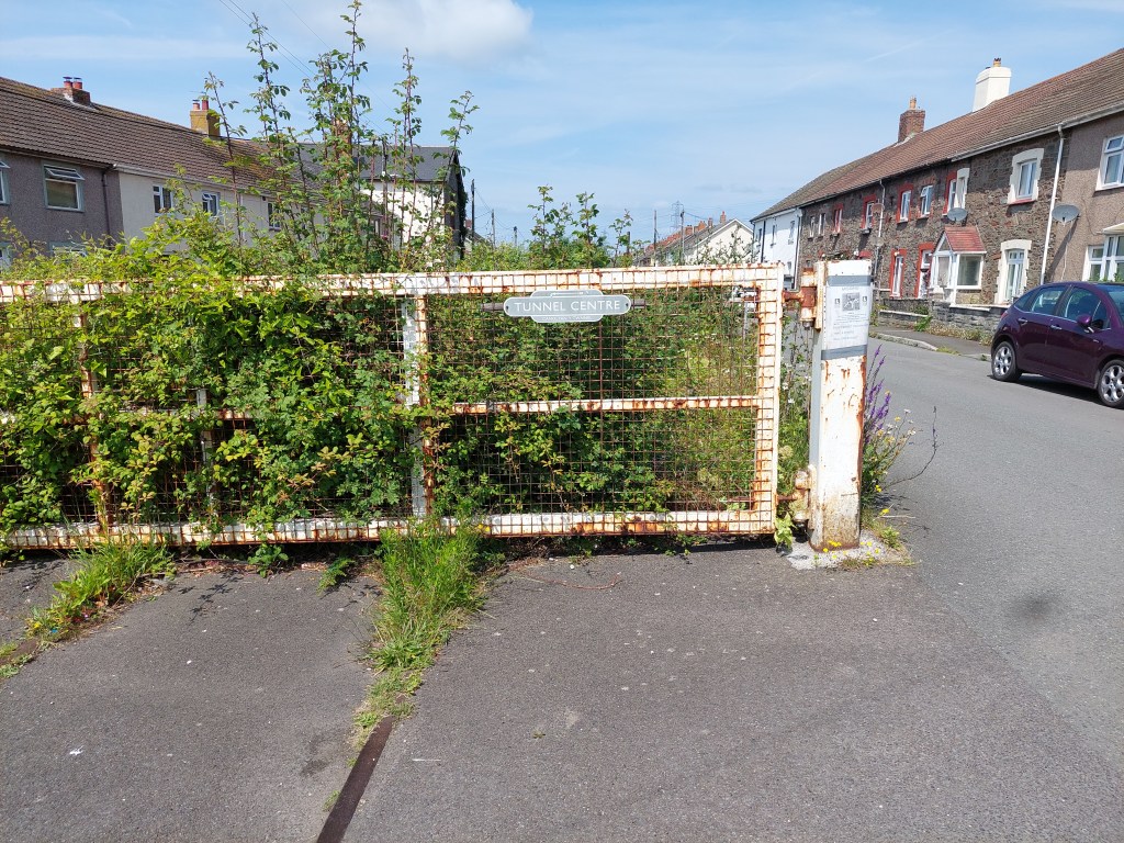
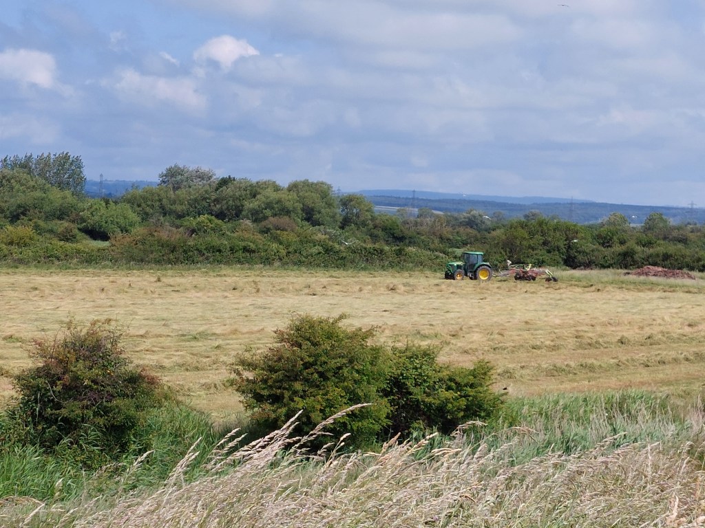
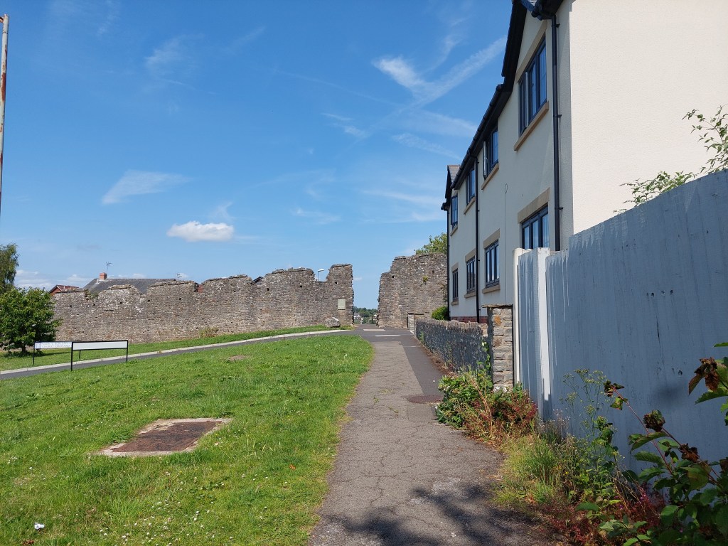
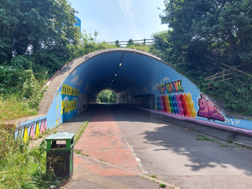
After this it was a hot and long stroll back to Chepstow. There were  contours which are days of walking on a flat embankment was a bit of a shock. There were even 2 stiles (one at a leaning angle) to contend with. I went a bit wrong in the field section, and then up to an industrial estate and park, and then down to go under the M48 in a decorated tunnel. The up into a wooded section, steeply down and then equally steeply back further up into a housing estate! Then another long wooded section and eventually out through the port wall and down into the town.

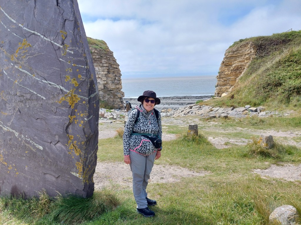
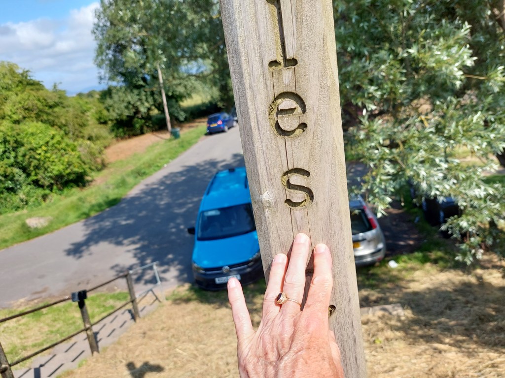
I was very tired by this point but determined to keep going as the finishing point was the end of the trail marker (Not the end for me as I still have more to do!). I also saw the start of the offa’s dyke trail!

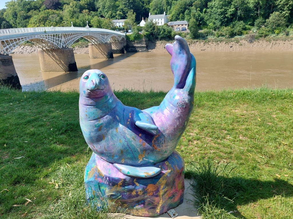
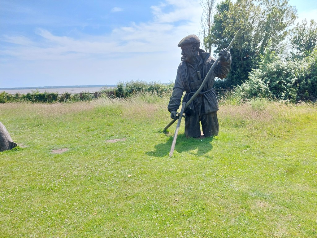
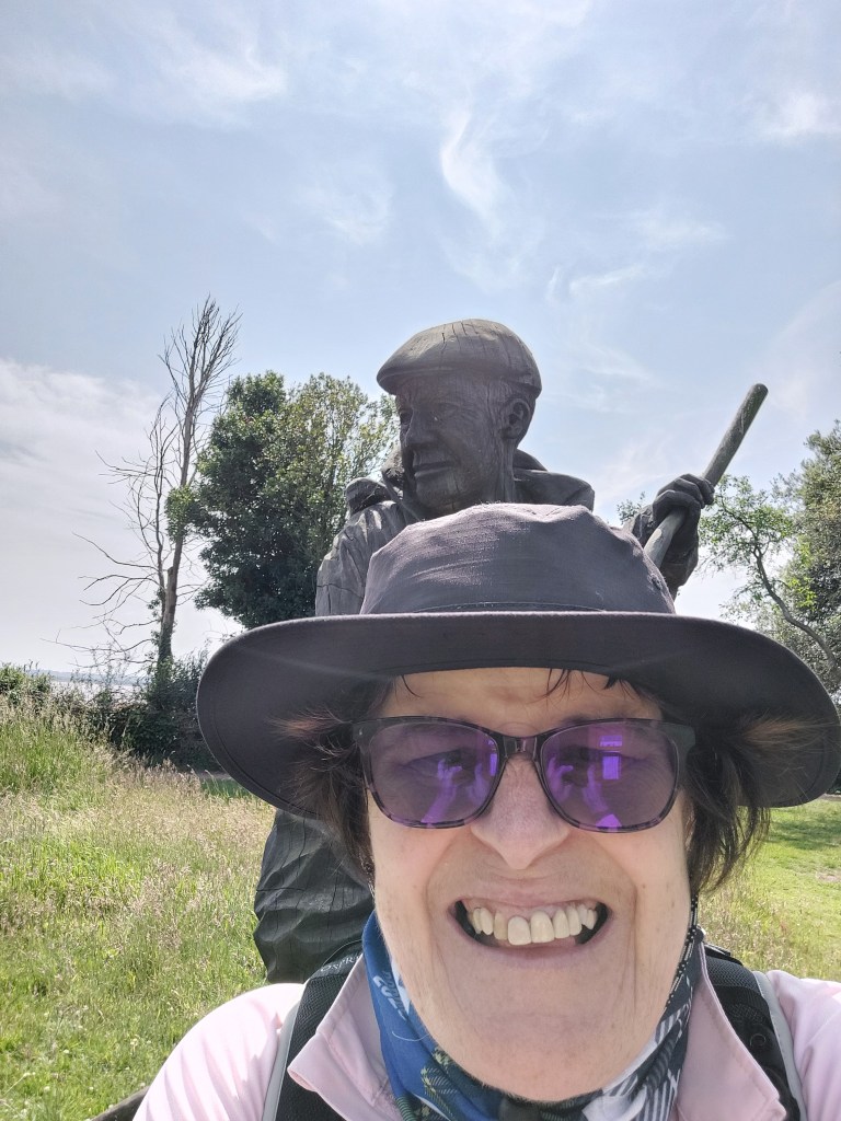
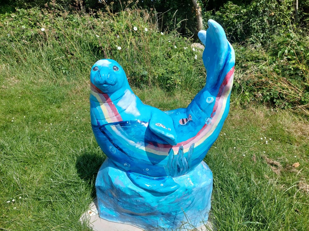
I finally got there and had a chocolate ice-cream and a coke zero sitting on the Wales Coast path bench! I also took some photos of some seals (which could be a treat for another day). A short stroll back to the car was much appreciated at this point as I had walked the furthest I have done on this holiday and was rather tired and also pretty hot!

Wetlands and filling the gaps

Newport RSPB Wetlands to Goldcliff Sea Wall

On the trail steps, 12,600 on the trail miles 5.40. Off the trail steps 5231, off the trail miles 1.93.

Tried to pick an interesting walk as Athene was joining me (and this one was recommended as a highlight!). After a bit of faffing about, and a quick look inside Redwick church, I met up with Athene and we got the cars in strategically a good start and end point (as this is an area with no buses!) It was great to see Athene, and we started in a very civilised way with coffee and a welsh cake, and a comfort stop before kicking off on the coast path around the wetlands, once a touching point had been established.

 There were quite a lot of benches and people, and occasional sightings of birds and lots of orchids! We also saw the sister of the lighthouse I had seen yesterday – the thinner and less squat East Usk light house! It was good to catch up and chat as we talked, and after numerous benches the need for a coffee stop came after we had just left the grounds of the wetland centre. It took ages to find a not very scenic or comfortable spot by a lane (so we didn’t linger!)

Then we walked around the salt marsh – where we not were allowed to walk on the embankment so as not to disturb the nesting birds, so the view of anything was extremely limited, and then across fields (which was increasingly getting rather overgrown!). The meadow sections were rather pretty (and we did see a marsh harrier though no red beaks (oyster catchers) – though I have seen them several times on the trail.

We eventually resorted to lunch in a bird hide (as at least there was  a seat!) we were joined by a couple of birders but not much to be seen! Post lunch we soon wound down to the car by the sea wall and took a quick walk up to see the sea and establish a start point for when I pick up the trail again in this place.

We drove the second car back to the RSPB place, and had another drink and comfort stop before going our separate ways. Next stop with Athene is centre court at Wimbledon (so excited!!!)

Two gaps

On the trail steps, 16843 on the trail miles 7.26. Off the trail steps 9497, off the trail miles 3.4.

I did 2 distinct sections of walk to join up all the trail that I have done. First from the wetlands back into Newport – which turned out to be rather overgrown in places and clearly not the most walked bit of the Wales coast path. I started from the wetland centre – but was so early that the café and toilets were not open!! I found my touching point and set off.

Due to the overgrown nature of the paths, there was quite a bit of checking I was on the right path. There were several fields with sheep and cows including some young ones (who were a bit frisky!). I saw absolutely no-one on the first part of the walk.  Navigation and the going got a lot easier when the path  joined a cycle path as we got closer to Newport (and landed in the inevitable industrial estate). I was soon back next to the A48 and over the road bridge to my touching point. There were again excellent views of the not functioning transporter bridge.

I crossed the road, and availed myself of the convenient costa coffee I had seen on my previous visit. I then hailed my first ever App based taxi service (Veezu in Newport!). This worked amazingly well and they ran me back to the RSPB place (as there are no bus options).

I drove a rather eccentric route back, finding somewhere to eat my lunch, and then went down to Rhoose to pick up Gavin for the second gap walk from Rhoose into Barry!

This turned out to be a much better path with no overgrown bits and much more up and down! We went back to the most southerly point of Wales touching point, and set off! Again lively conversation was had, as we headed towards Porthkerry through the inevitable caravan park, and down through the trees – some ancient ones!.

We stopped for a breather and a drink in Porthkerry park, and then a stiff ascent up and then over into Barry. The ascent began with steps and  a false summit, it eventually levelled out with a wide expanse of green, and posh houses with a fantastic view! We had to work over to the coast path a bit for the steep descent (without steps). We had a brief pause at the Roman remains on display at the bottom of the hill. Then a bit of a canter along a short promenade. before catching a short cut across the beach to connect with a path and a bit beyond my original touching point from last Saturday.

We headed to Zio’s and met Alison and had excellent icecream. Later Gavin and Alison came over to base camp for supper.

Low cliffs and lots of embankment walking!

Rhoose to Llantwit Major beach

On the trail steps, 16,565 on the trail miles 7.12. Off the trail steps, 2,641 off the trail miles 1.13.

Had a more leisurely morning, caught up with the blog and sorted some stuff out. Then headed off to Rhoose to see Gavin and Alison, as Gavin was going to walk with me for the day.

After a coffee and a catch up, we set off from Rhoose establishing a very scenic touching point at the gap – to be picked up later to complete the section back to Barry. This was close to the most southerly point of Wales. The walk had wide expansive views of the Bristol channel and the shipping, and was more classic low cliff walking. We were making steady progress into the breeze. There was lots to see including geological formations, fossils and a rocky shore line. Much conversation was had.

We had a breather on a log when we descended down to a path by the sea wall after the lengthy stretch next to Fontgarry Caravan park! We were chased by the man on a ride-on mower for most of that too! As we continued we saw the cement works and the power station and outer workings of it. It was fun to see some antitank defences which had been painted, including an impressive rubics cube!

We had lunch just beyond the Aberthaw power station on an uncomfortable bench in the car park. This seemed to be a favourite amongst dog walkers. A very chatty chap told about the latest ‘urban thrill experience’ was to break in and explore the derelict power station (we had seen holes in the perimeter fence!). Not my idea of fun! We continued to walk at a low level, which was very reminiscent of Suffolk beyond Sizewell. It was a bit rough and ready (and actually we should have gone in land!)

It was at this point we saw the first sign indicating a path closure. It was not at all clear so we carried on! We eventually reached a barrier not across the path (and I sent Gavin ahead). There was one bit of path in need of attention but it was passable with care! It was all abit overgrown – and we came out by the second barrier (also not barring the path) by the seawatch centre. We were intrigued by an accommodation block at Hafod.

After this we had about 3km to go – and we managed a cliff edge path in some huge fields. There was a down and up section, and finally we wound down into Llantwit beach. I was so pleased to see our lift (Alison) – that I forgot to establish a touching point! Oops. Back to Rhoose for a lovely supper and more catch up too!

De haviland Road, Pengam green to Lighthouse park

On the trail steps,  18,208 on the trail miles 7.84. Off the trail steps 6,681, off the trail miles 2.86.

Unfortunately when I had got home last night I found I had a blister – so compeed (other brands exist) to the rescue and back in the old boots for today’s walk. Made my way back to Pengam green, and found somewhere sensible to park (about ½ mile from the touching point in De haviland road. When I get the bus back I will connect the gap, but for now touched the car as an interim starting point. The initial stretch was complicated by roadworks and a special walking lane at a roundabout and about ½ a mile next to a busy road. It ducked off into a park with a large pond (but you could still hear the traffic). It then struck out towards the coast, coming out near an embankment – which I walked on for much of the rest of the walk. I had an initial coffee stop sitting on a green storage box.

Initially I saw only 1 person on a very isolated spot walking alongside the estuary. It got increasingly humid and I dodged some cows, there was some interesting birds too. I stopped for a breather at the first get off point – near Peterstone church, sitting part way down the embankment. I didn’t linger as it was a bit hot and uncomfortable! The view was very constant – large estuary, with a varying amount of shore (and rural land put to various uses on the other side and some marshy stuff too)!

I stopped further along just beyond Peterstone Gout by the emerging sea wall. At this point people became more prevalent. Another possible exit point emerged and I realised that the bus stopped near the coast at Lighthouse park. I was getting hot and sweaty in the prevailing conditions, and I knew it would be too far to walk the final bit into Newport from where I was. So I established a touching point here, and cut inland to a closed pub/café and ate my lunch at a picnic bench next to a Roman Soldier sculpture and then took the 31A back to Newport. We went on a diverted route including the M4. Lighthouse park turned out to be a static caravan complex!

I wandered into the shopping centre to find a toilet, and then got the bus back to Cardiff (X30). Then a short walk to a number 11 bus stop in the centre of Cardiff and a half hour wait to get the 3rd bus of the day back to Pengam green. I walked to the De haviland road bus stop – touched the touching point and did the extra half a mile back to where I had parked the car.

Lighthouse park to A48 road bridge in Newport

On the trail steps, 12,634 on the trail miles 5.41. Off the trail steps 53147, off the trail miles 2.29.

After a rest day (with a lot of driving but that’s a story for another day) – the blister was still on going so another day in the old boots ahead and with compeed protecting my left foot! I drove back to the Lighthouse park, on the way passing the six bells – another very closed hostelry – which was described in the guide book as a going concern, but it has been tough times. The local community were trying to save that one!

I set off via yesterday’s touching point, and walked to the West Usk Lighthouse on the embankment – with birds, cows, horses etc!. The lighthouse was quite charming but very squat as lighthouse’s generally go. There was lots of accommodation around it – but the path diverted onto a track around it with some very unfriendly notices! I missed the initial link to the coast path by crossing a cattle grid carefully, and then had to come back across. One more final stretch of embankment before the path turned inland and into a farm track. I saw one person in this whole stretch, along with horses, cows and sheep!

The track wound inland and up and over the railway before emerging onto a road. I was pretty desperate for a good coffee stop but without much success. A short stretch on an overgrown path followed, and then a rather desolate bit with lots of rubbish and school boys near a high school. It came out by a rugby club and eventually I found a bench in a children’s play ground after going under a main road in a tunnel and back over the railway line.

What followed then was an urban stretch through 2 out of town shopping areas, and a more pleasant residential area working around to the A48 and to the very closed Transporter bridge. It remained a very impressive sight and had a smart visitor centre – I wonder what has happened there?

It was again warm and sticky and walking next to a dual carriage way on a main road is not my favourite! I stopped and established a touching point by the Old Dock reach – and walked back into Newport for a mile, to pick up the 31A bus back to Lighthouse park from the bus station. This went a very convoluted route back (and took 50 minutes!).

I liked the Coronation balls I saw as I walked to the bus station! I attended to some necessary shopping for food and blog writing when I got back to base camp!

Barry blessings

Steps on the trail 13,377 Miles on the trail 5.73 – Steps off the trail 4298 Miles off the trail 1.78

Good to be back on the trail after a gap year in 2024! Alot has happened since I last attempted the coast path, and much to ponder as I set off today. Yesterday I established base camp for a 2 week foray into the South Wales part of the path. Some of this is very familiar territory after my time in Llandaff at Theological College. Though this now feels a long time ago! Happy memories of Jane and Jasper came to the fore via starting in Barry Island (about 8 miles from base camp). This was very apt and is now looking a little more affluent trading on the Gavin and Stacey connection. Back in the day, Barry Island was a regular Saturday afternoon walk spot (as an escape) though usually in better weather than today. It was cool and intermittently rainy!!

I parked in the big beach car park, and heading off on the trail, establishing a touching point at the start and where I finished today. I used the first coastal path sigh I saw, in very fetching red livery. The first part of the path was very familiar and I contended with drizzly rain, as well as being overtaken by very hardy runners on a long distance run! I saw a refreshment stop for them further on. Signage for path was plentiful including rather impressive tiles on the pathway

It was me and the dog walkers initially! I stopped for a coffee once I had gone past the beach and the headland and round through some housing. The rain thankfully eased off at this point. Lots of varied housing including a large more modern harbour side development.

What then followed was a lengthy section by the side of main roads, as we skirted round the docks and then on to a chemical works. I did spot an orchid in an unlikely place on the first section. I was becoming aware of potential boot issues (I was wearing a new pair I haven’t got fully accustomed too!) and need some adjusting/wearing in. In order to prevent blisters, I stopped about a mile before I had really intended too. I set up a touching point by the bus stop and got a 95 back to within a 10 minute walk of the car. The bus did a long route around the outskirts of Barry first, so by the time I got off I was rather stiff.

I moved the car to a more scenic spot in the car park and ate my lunch in the car (as the rain was falling hard by this point once again!)! A good start