Sept 6th – Cardigan to Poppit Sands
10,500 steps, 10,400m, 6.5 miles on the route!
This was quite a leisurely walk – it was hotter than I liked, so it was good to take time and drink in the scenery. I kicked off from the car park in Cardigan, touched the tourist poster touching point and set off. The first section after a few busy streets, winded up a track between the houses, and out into fields mostly dedicated to market gardening. There was one with a handful of curious sheep and 2 calves who were blocking the exit kissing gate. In the end I persuaded them to move!
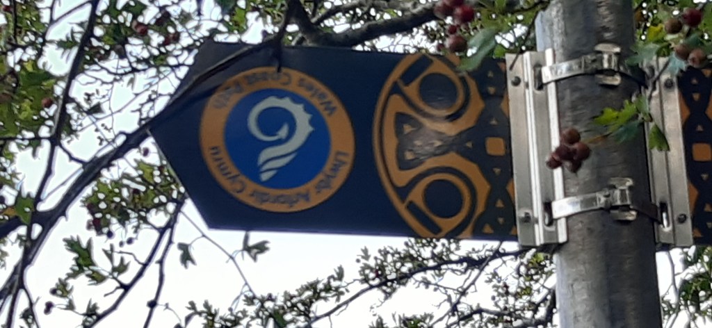
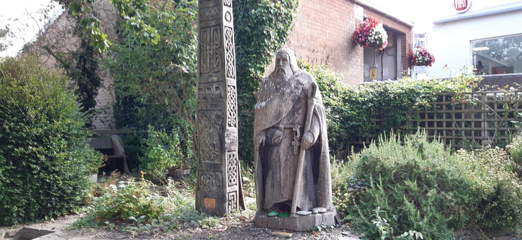
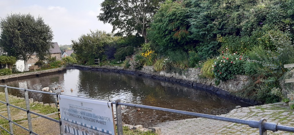
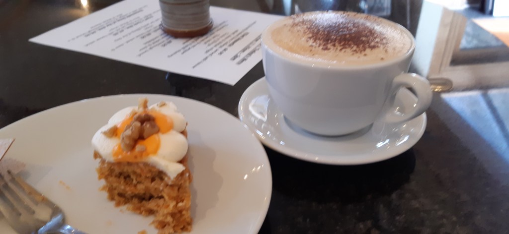
Eventually I dropped into St Dogmael’s. This also meant I had made it in to Pembrokeshire, and this was evident in the change of look and feel of the route signs – with green based celtic crosses as well as the standard blue shell signs! I happened rapidly in the café next to the abbey ruins. I had visited previously and enjoyed a very civilised cappuccino and excellent carrot cake. It was all very pleasant, and I had a brief and rather warm wander around the ruins (there was a very chatty man doing Tai Chi!). I escaped via the church yard.


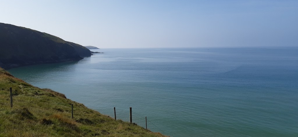
The next bit of the route was on roads and paths through St Dogmael’s, and eventually ended up at the side of the main B road (sadly without a pavement). I wasn’t very happy about this as it wasn’t wide enough for 2 cars to pass each other in places, so I was an added hazard. There was at least a mile like this. Doesn’t happen very often on this route!
Eventually a bench appeared by an alternative signed path, and I sat down for a while to enjoy my carried coffee (decaf) – while contemplating what to do. This was a good vantage point, as I saw both the bus I was going to use to get back to Cardigan and the Poppet Rocket (3 times a day coastal walking bus) – which proved the buses were running! I decided to take the alternative route – around the back of Poppet Sands, a farm and then through a large caravan site. It was certainly less dangerous than dodging the traffic.

After a return trip to the toilets, (after a particular wet walk in Pembrokeshire in 1990s with Carole), I touched a suitable touching point I will pick up tomorrow. I found the bus stop, ate my lunch when waiting, and took the bus back to Cardigan (first bus ride since 2020!). This included buying a rover ticket for the next week – which will hopefully be used on the various bus links I will need.

As it was still early, back on the bench, I had decided to go to Mwnt. Had to be done at some point. It was very crowded, pretty hot and there were people in the sea! Mwnt is deeply beautiful, but reminds me greatly of Jane, and is the second place where she is remembered. After some time to ponder at the spot, and the cliff beyond, I sought out an ice cream and contemplated some people looking into the distance beyond the refreshments hut. A brief wander was rewarded by the sighting of dolphins, playing further down the coast. I have seen them in the bay before (but I suspect the people in the sea were not to their taste). It lifted my spirits no end!


A drive home, where I trusted to satnav initially (which was a bit hairy getting away from Mwnt) back to the A487!
Running total 10.5 miles
Sept 7th
21,100 steps, 15,200, 9.5 miles on the route ( this is much longer than I anticipated it would be and does not include the mile to the coastal path in the first instance!)
Early start to be ready to get the Poppet Rocket at 9:10 at Poppet Sands ( a good half an hour drive away!). I was also trying to start early to avoid the worst of the heat. This turned out to be not early enough!!! While waiting for the bus I got chatting about the plans for the day ahead, with a couple also going to Moylgrove and walking back.
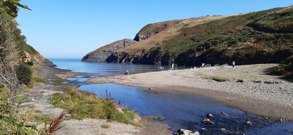
It was at least a mile (not included in the above) to walk up and down to the coast path, eventually coming out at Ceibwr bay. On the final section down to the bay I got chatting to a woman I initially saw sitting in a tree. She suggested a potential escape route if the going got too much in the heat. She even took the trouble to show me on the map!
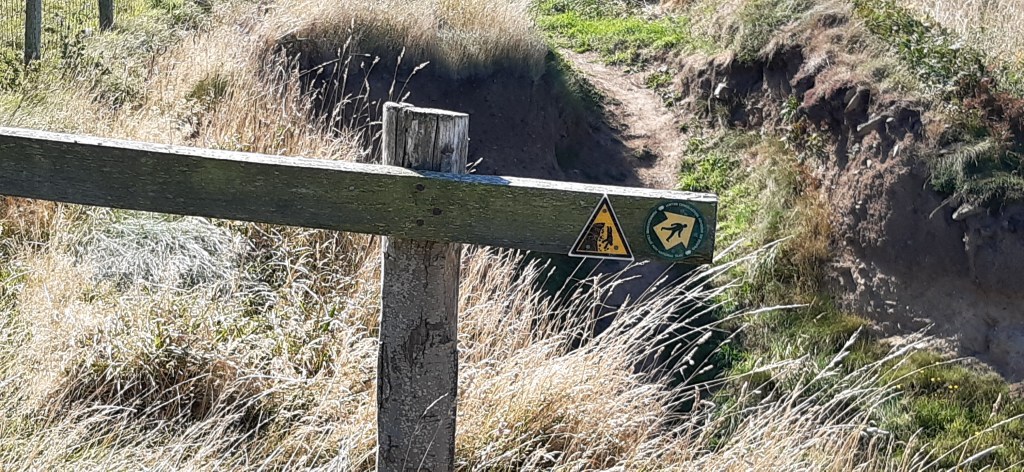
The first climb out of the bay was a tough one but I made steady progress on the initial section of the walk – which consisted of narrow edgy paths about 1/3 from the top of grassy cliffs. There was mostly a good bank on the sea side to prevent you falling in! I took a while to find a suitable coffee stop – where I could see the view and was vaguely shady as the heat was intense. I was rewarded with seal sightings at this point – which was lovely! There was some very discouraging signage at a couple of spots where the banks had eroded or cliff falls had taken place.


It was going reasonably well at this point, but as I progressed, I realised that a large up and down was ahead, and then the next bit looked quite a lot more undulating. I didn’t hesitate which I now regret. I like to keep to a plan as you probably know. The first up and down was gruelling and precipitous! I wish I had realised how difficult the undulating section was going to be. Each of the 3 downs then ups, went further down precipitously, and further up in the same manner! By the third one I was finding the going very tough. I was over half way on my route and I had missed the exit point discussed by the tree lady earlier. I stopped frequently, arrow prayers for strength were even more frequent and various passing walkers were very encouraging and kind.
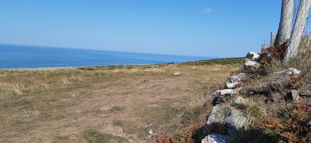
It was really the heat that was the main problem and the slope (and the previous 3) were out of the wind so it was blistering. I think it was around 90!, and since my thyroid surgery my temperature regulation at extremes has been a bit dodgy. Eventually I made it up this final slope after several stops, onto much more idyllic cliff walking conditions – carriage drive grassy paths with gentle undulations. I had at this point reached the highest point (Pen yr Afr) on the cliffs in Pembrokeshire! Progress was not quick but it was much more manageable and I was back in the breeze which helped hugely with my temperature control. I passed the abandoned coast guard station (which is as far as Carole and I got back in the day – we turned back as the rain was torrential!), but I didn’t find the shepherd’s hut we had used for shelter for lunch, rather unsuccessfully as I remember it. I have a lasting memory of rain dripping in soup!!


I eventually found a lunch spot on a low wall with a good view, which was ‘shadyish’ but also in the breeze, which helped with temperature regulation!! I was blessed with more seals and then the joy of more passing dolphins (4-5) in a group, which were again motivational for the final push. Despite seeing a sign indicating the distance was 1 and ¾ miles well before the coast guard station! It was in fact more like 3 miles from this point, on good paths, a messy farming area, shady tracks and the road. It was mostly going gently down to sea level and eventually poppet sands beach. I had a much needed raspberry sorbet cone and a large quantity of cold water at the new improved café!! before touching my touching point and driving home.
I acknowledge I can be single minded about stuff and I still love a good plan (even though covid has robbed me of so many!!) But I promise after this experience to be much more careful especially on hot days (and take more time over route decisions). The mistake was really to have done the first big up and down in that heat(!)– as this was just after the exit route I could have taken or I could have gone back at that point too!!! Note to self – listen to women who sit in trees.
Running total 20 miles
