Tuesday13th June – St Justinian’s to Porth Clais
Total Steps: 13,774 – 13,774 steps on the trail
Total: 6.3 miles – 6.3 on the trail
Running Total: 17.8 miles – 12.3 miles on the trail, 5.5 miles off
The day started with a drive to Porth Clais where I ended yesterday and then a wait for the Celtic Coaster to take me to today’s start at St Justinian’s. I saw another load of youngsters gathering in the National Trust car park, who had climbing gear with them. They set off whilst I was waiting for the bus to come. On the bus I had a chat with a couple going on a boat ride from St Justinian’s – I was quite inspired by this, and picked up a leaflet for later perusal.
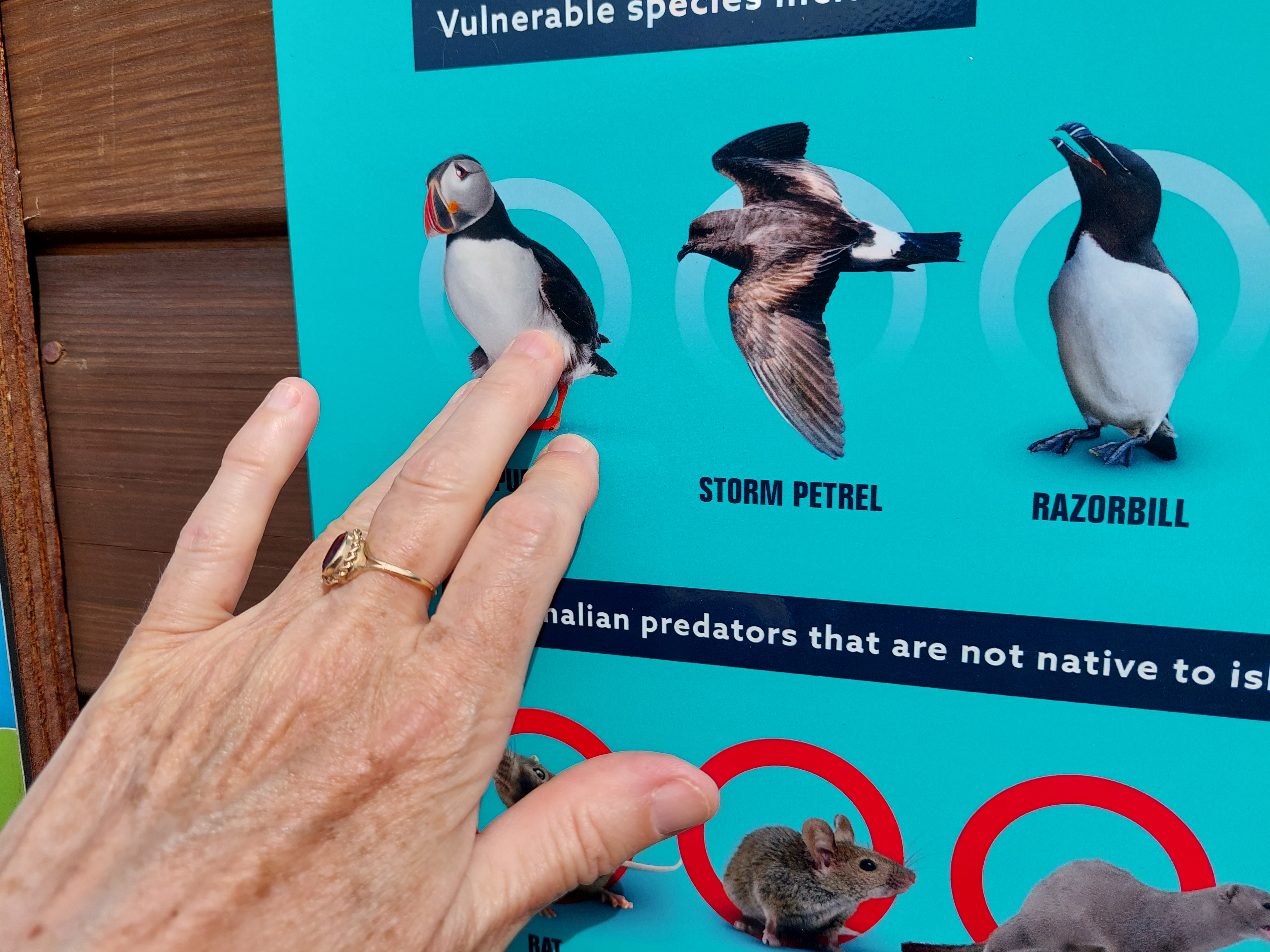

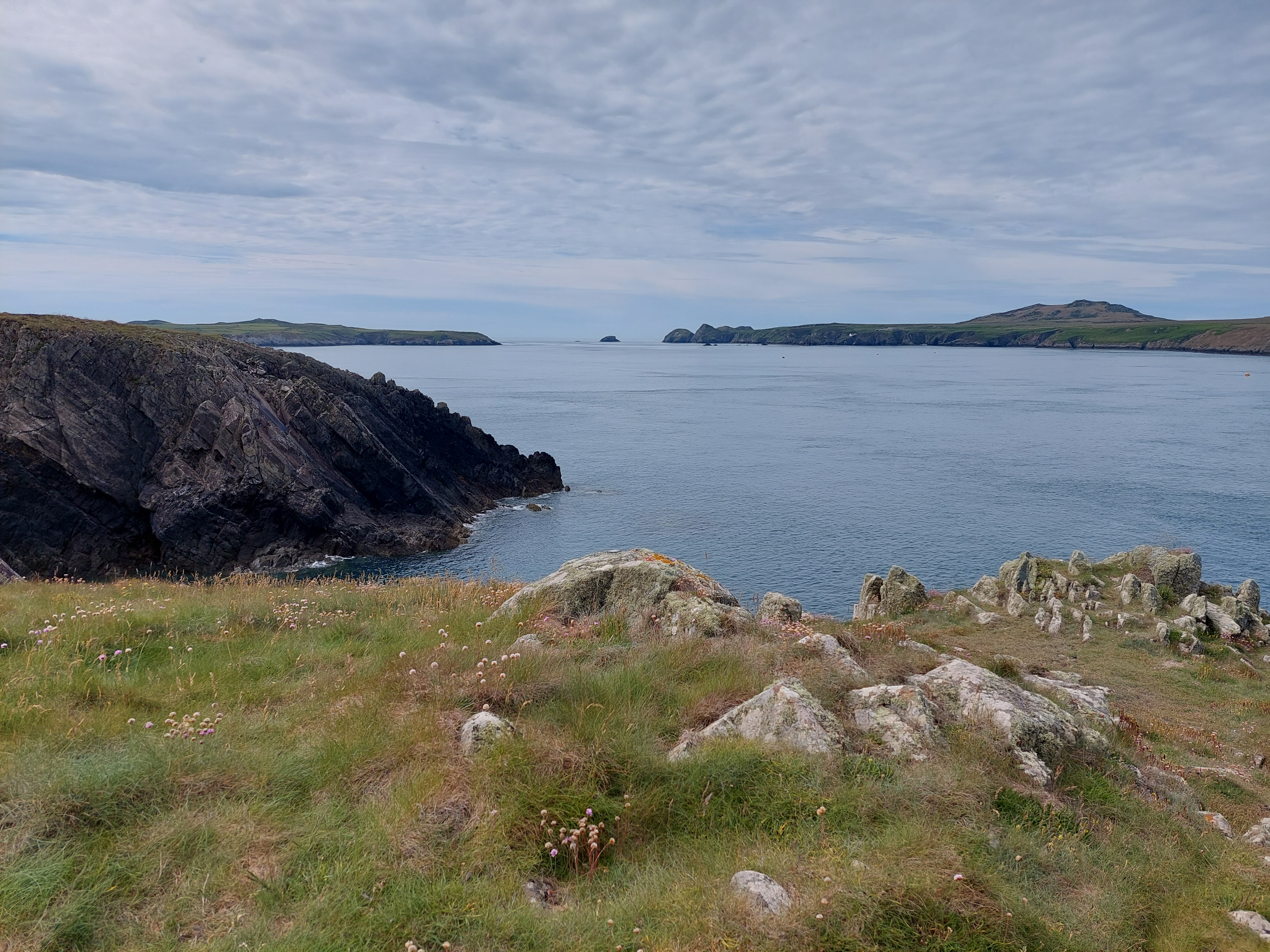
I used a puffing poster as the touching point. I set off from St Justinian’s around 10am and for the first hour it was pretty idyllic, low and pretty cliffs, with only one tricky descent (and no other people!) That of course didn’t last. The first set of people I saw were a group of about 20 girls and a few teachers (probably) doing some kind of sponsored event. One of the teachers was carrying a giant boob! Not very sensibly at the front so he couldn’t see his feet. When I saw them again later, it was being carried as a back pack. After that I saw a steady stream of people, but no more giant boobs.


In this early section I saw a number of sea birds, including cormorants and my first “red beaks” – oyster catchers. These can count as wildlife of the day. Sadly it is clearly not the season for seals, and a couple of bits of seaweed, rocks and buoys provided disappointment on closer inspection.
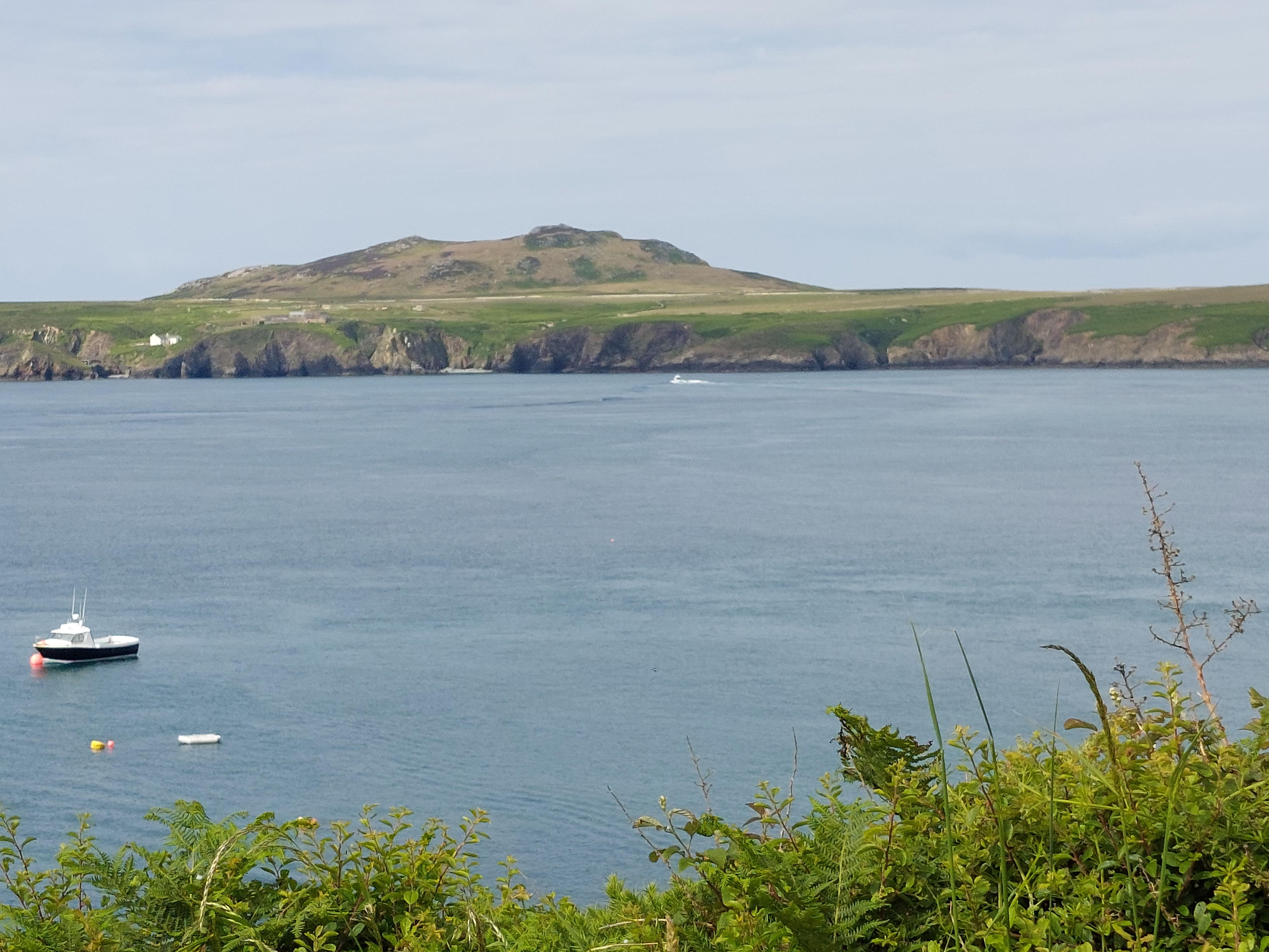
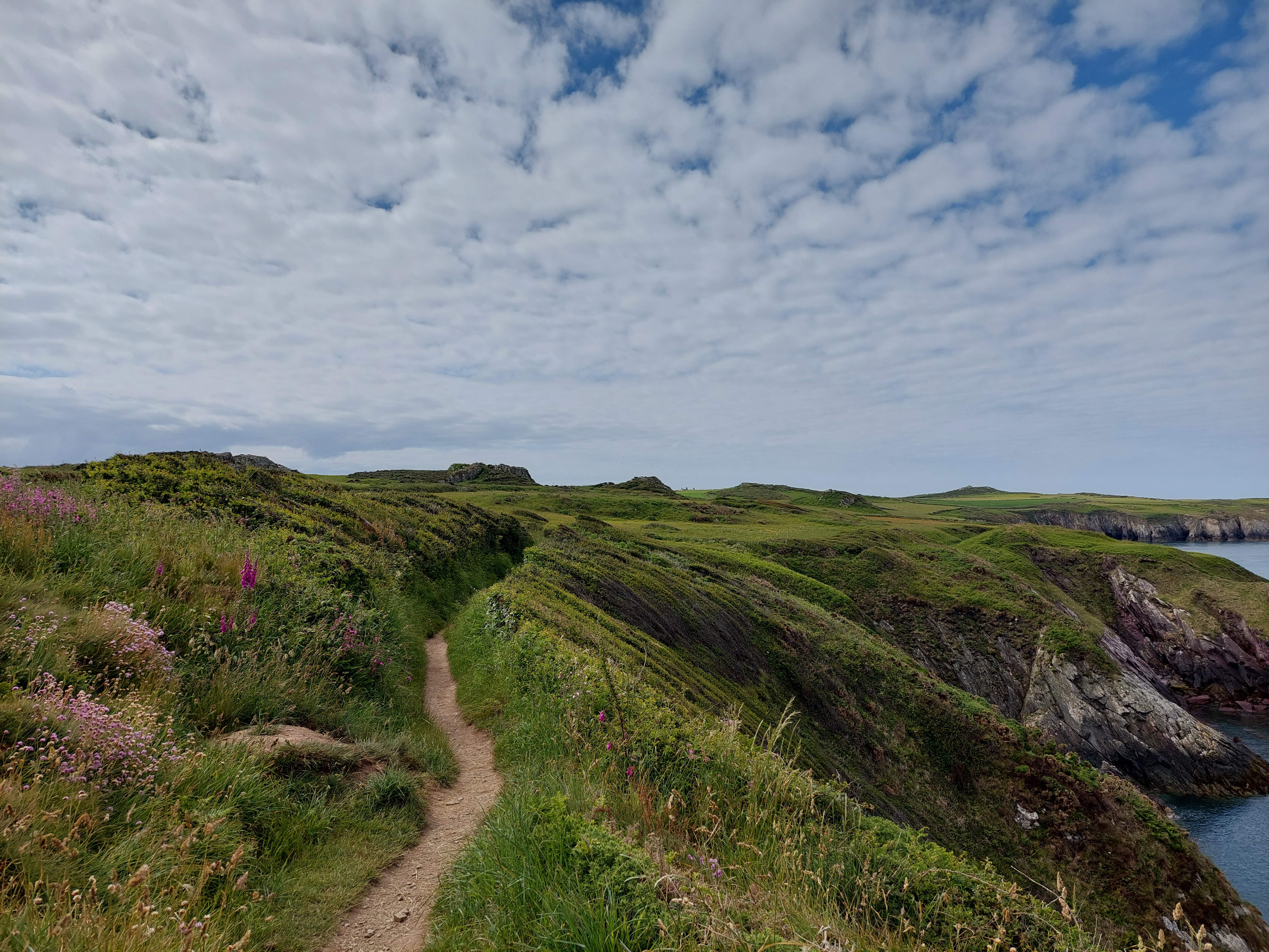
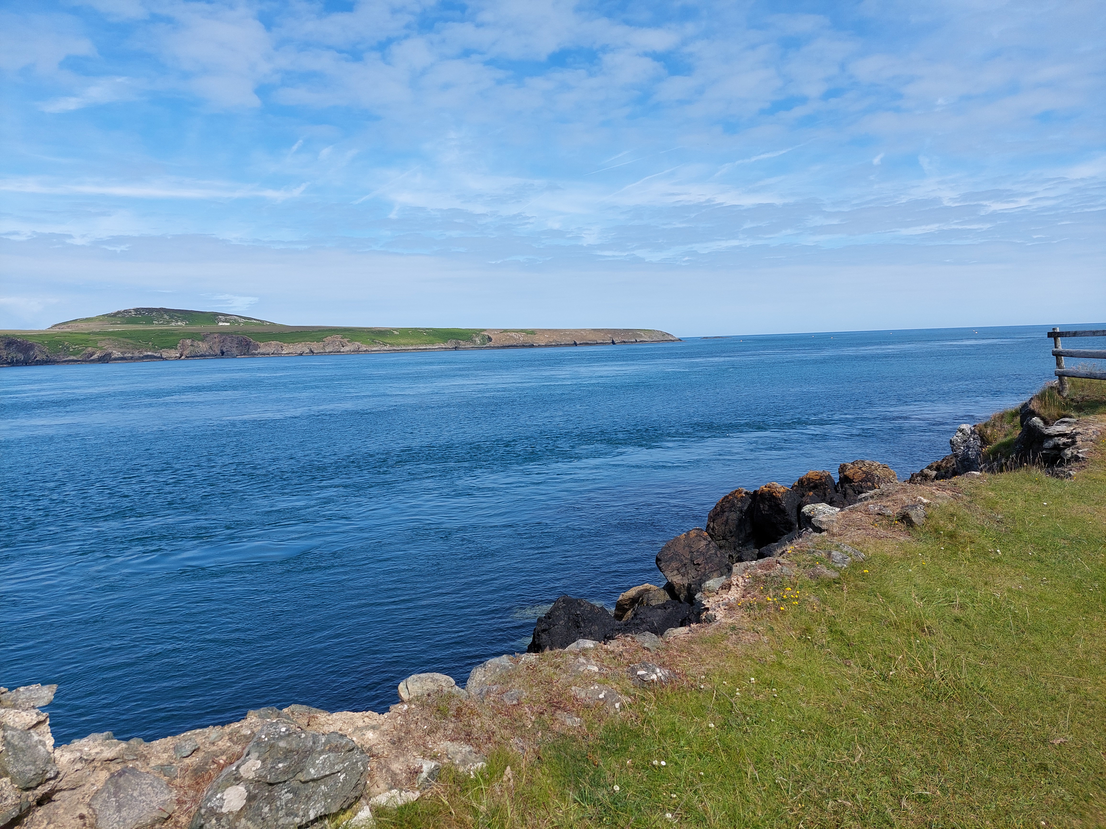
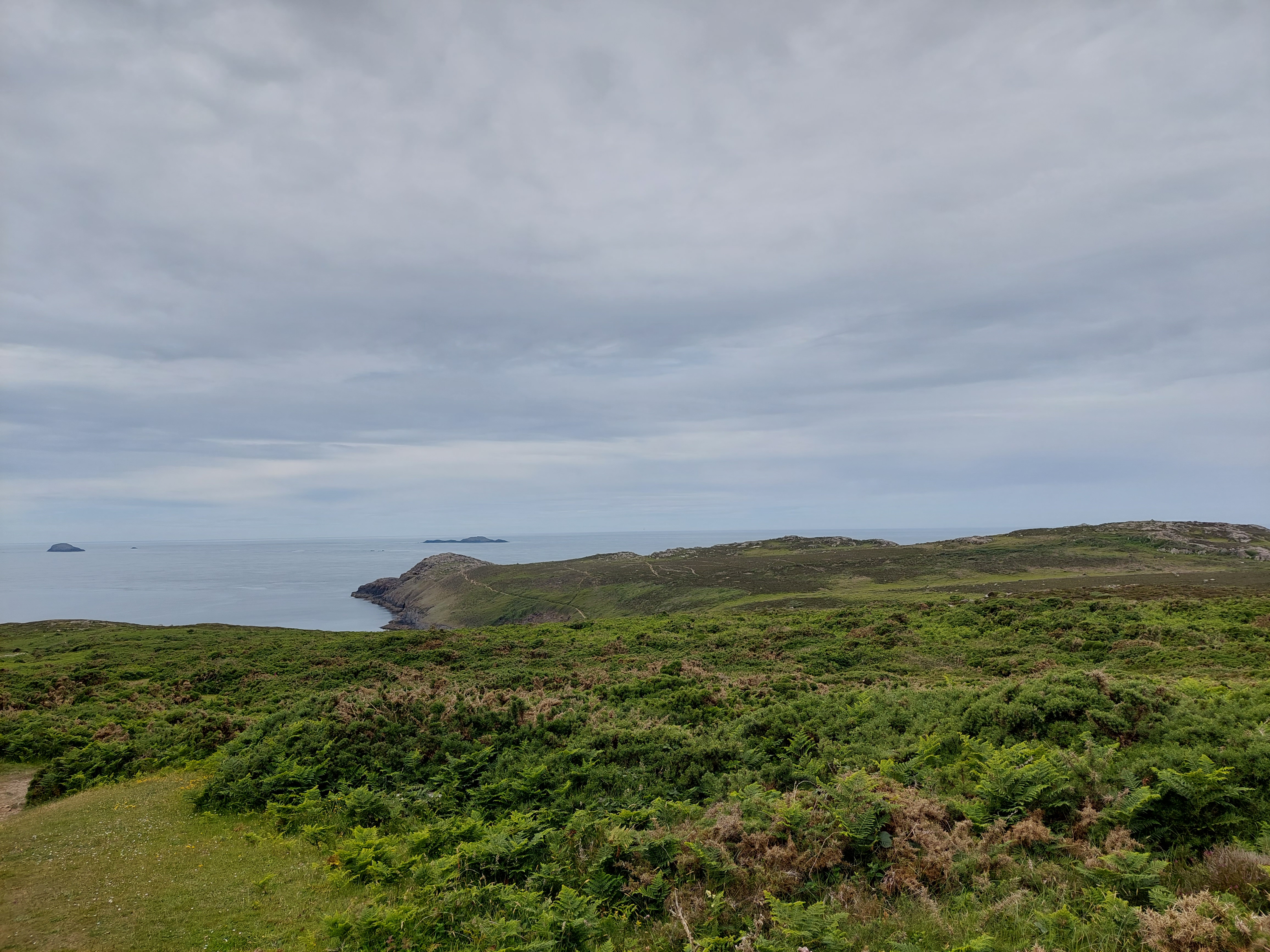
I selected a coffee stop to recover from the noisy girls with the giant boob, and just after the cairn marking the most westerly point in mainland Wales. This had fantastic views of Ramsey Island and back towards St Justinian’s. The early easy going didn’t last! And a rocky section followed. To be more technical about it, this is about geology on the Treginnis peninsula – and according to my trusty coast path guide – the oldest Pre-cambrian rocks in Pembrokeshire! In other words, lots of rocky bits, significantly higher than what had gone before, heathland around and lots of precipitous ups and downs (and even a bit of inelegant rock climbing!). Anyway I managed but I was quite tired by the time I wound down to Porthlysgi beach and had some lunch.


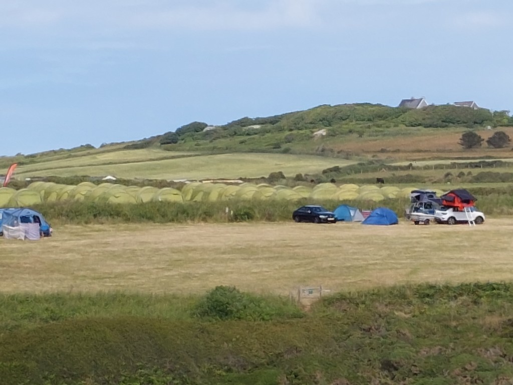
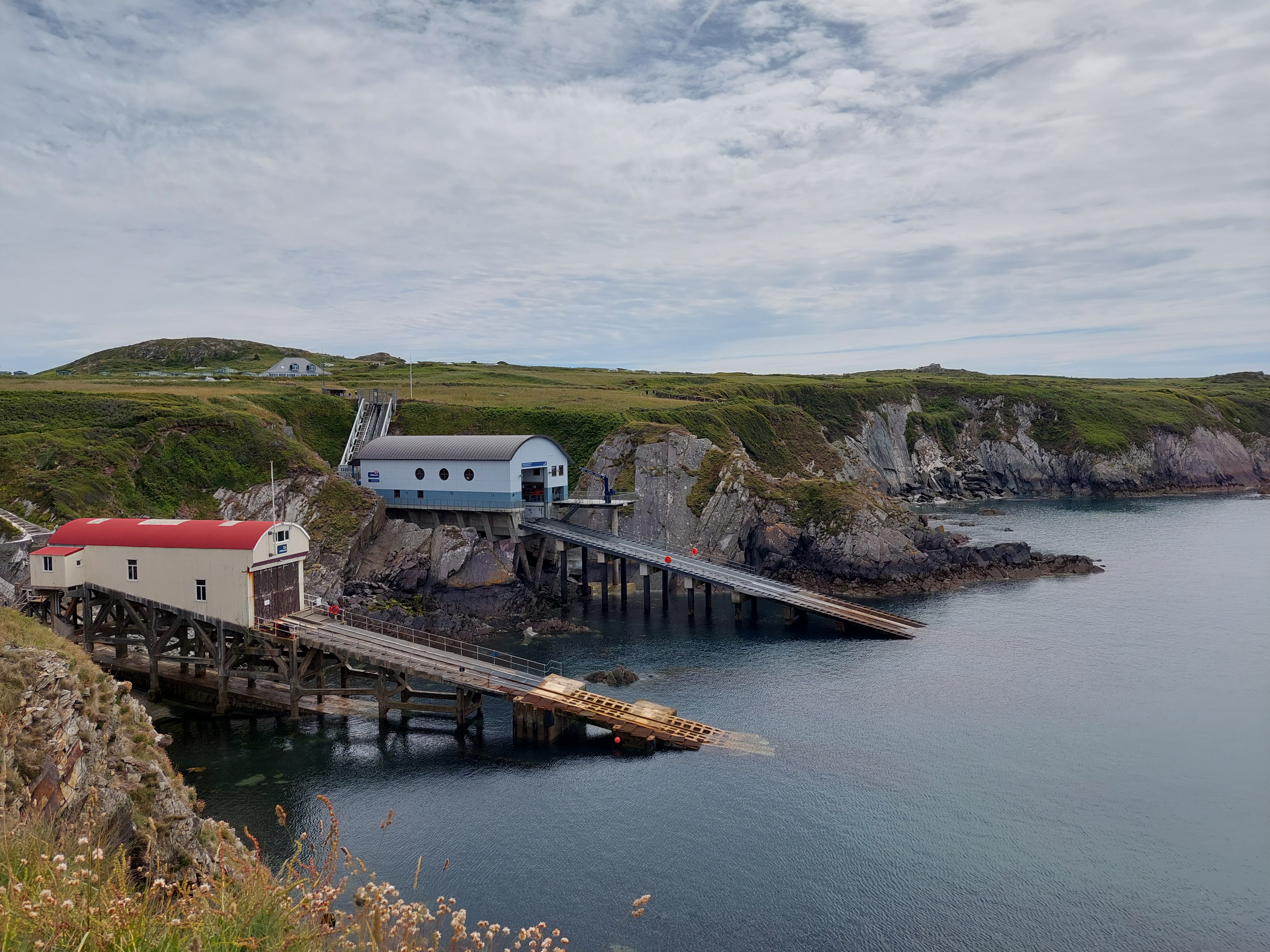
I knew the final section was relatively straightforward, after the initial ascent up on to the headland once again. Speed (is not of the essence) and progress was not quick! The views remained inspiring, with St David’s head, and Strumble head further away (and a previous conquest 😉 in my adventures). As I rounded the headland towards the descent to Porth Clais, another outbreak of climbers was apparent on the opposite side of the harbour. I could also see numerous tents (and associated facilities) just up the hill from where they were (and the caravan park I briefly visited on Monday). I also resolved the question how they got to the bottom of the cliffs (as I saw a couple abseiling down!). I have not resolved the question why climbers have all the same tent!?


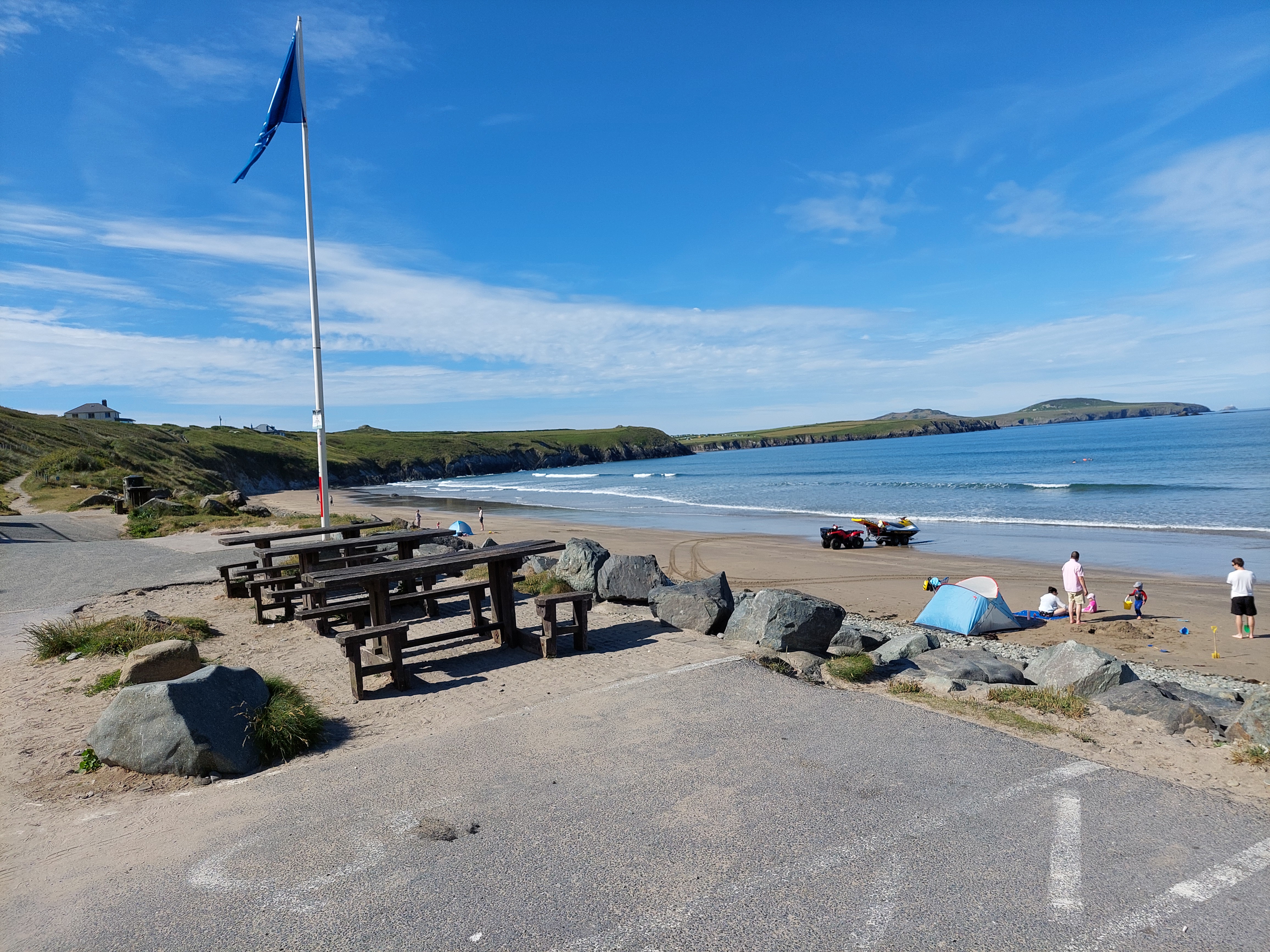
A gentle and uneventful descent into Porth Clais was very welcome, and I reconnected with the bus stop touching point. After I had shed my boots and used the much appreciated facilities, I had a hot chocolate at the drinks shack – which was very good!

A short necessary drive to garner provisions followed, and to top the car up with petrol.
Wednesday 15th June
Both ways from Whitesands
7241 5.26
9370 6.81
13,363 9.71
Total Steps: 13,363 – 9370 steps on the trail 3,993 off the trail
Total: 6 miles 4.2 on the trail, 1.8 miles off
Running Total: 23.8 miles – 16.5 miles on the trail, 7.3 miles off
On the way to Whitesands bay, I stopped in St David’s to book a boat trip for early on Friday, after studying the leaflet I had picked up earlier. All things being well, this will mean an early start (I need to be at St Justinian’s, ready to go at 8:15!) and sea birds and more!
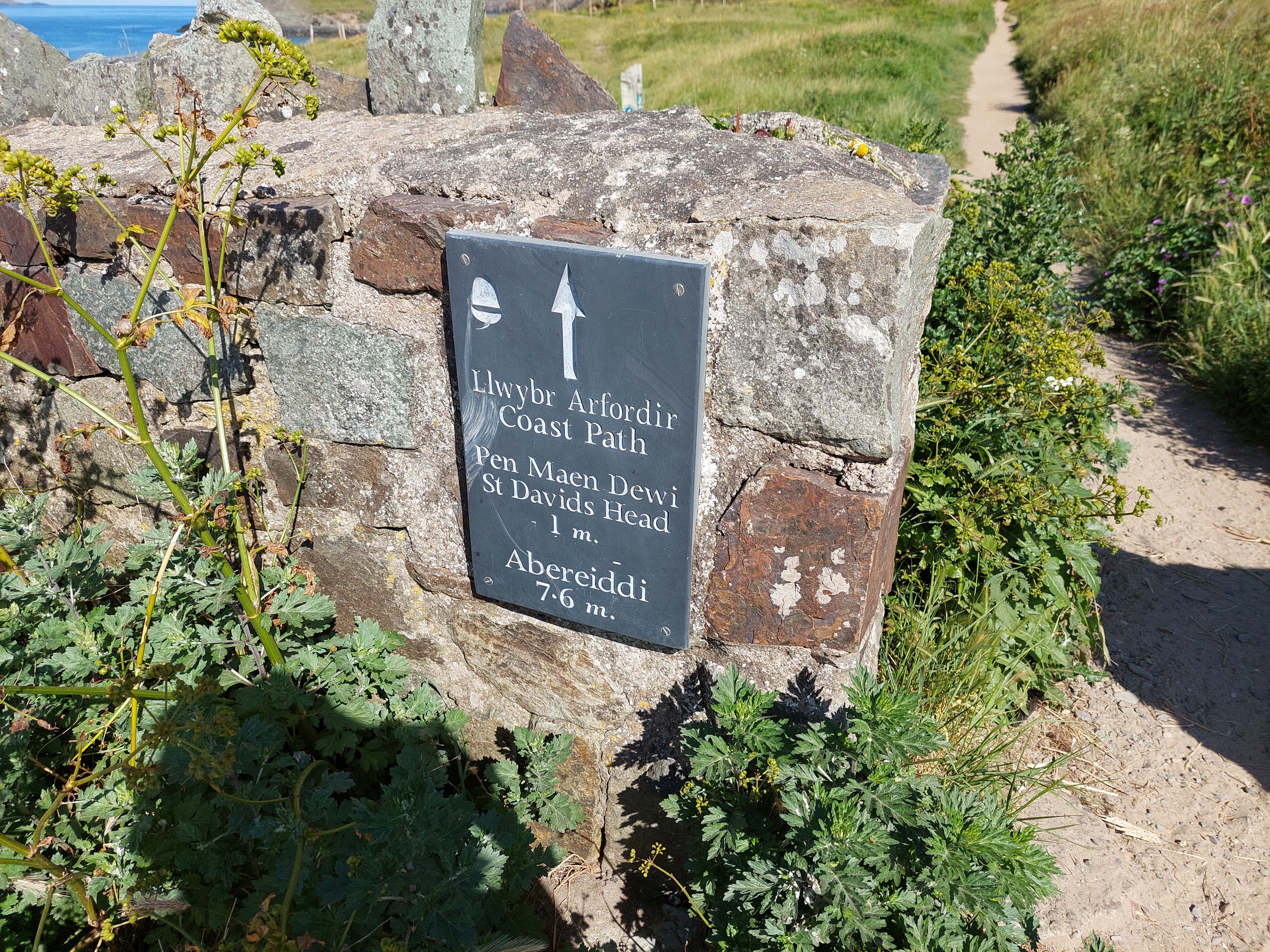
It has to be said, I wasn’t feeling 100%, due to the efforts of yesterday and an unwise excess of chick peas. I set up a touching point using a smart stone coast path sign near where I had parked the car.


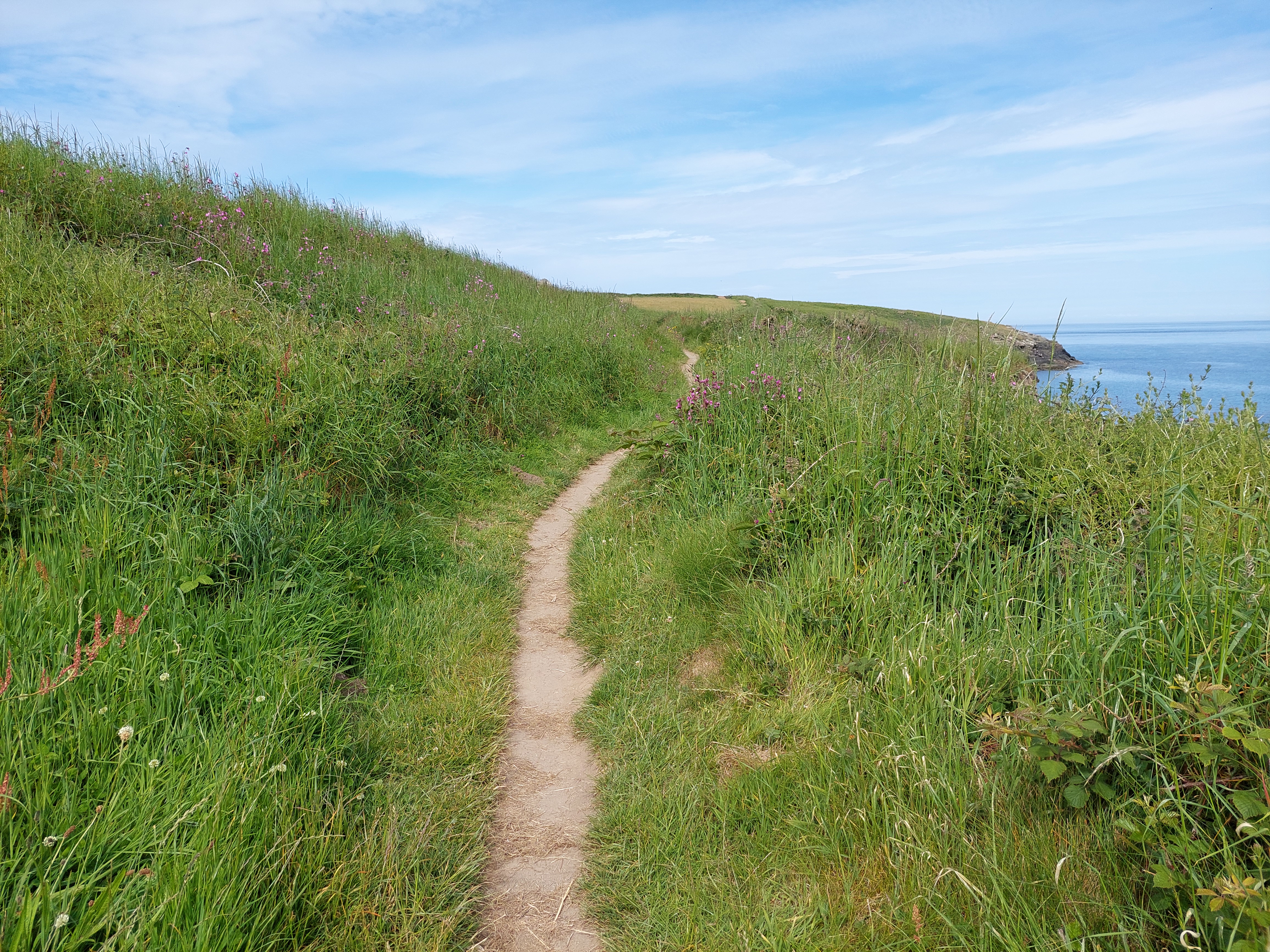
I decided to walk to St Justinian’s first and then get the celtic coaster back, and see how I was. It was a sunny start (but not hot – no heatwave here), with people already on the beach – and the path was pretty kind – narrow and rather overgrown in places, but not challenging! I also saw a small lizard (rush across the path) and my first orchids – so these can be wildlife of the day.

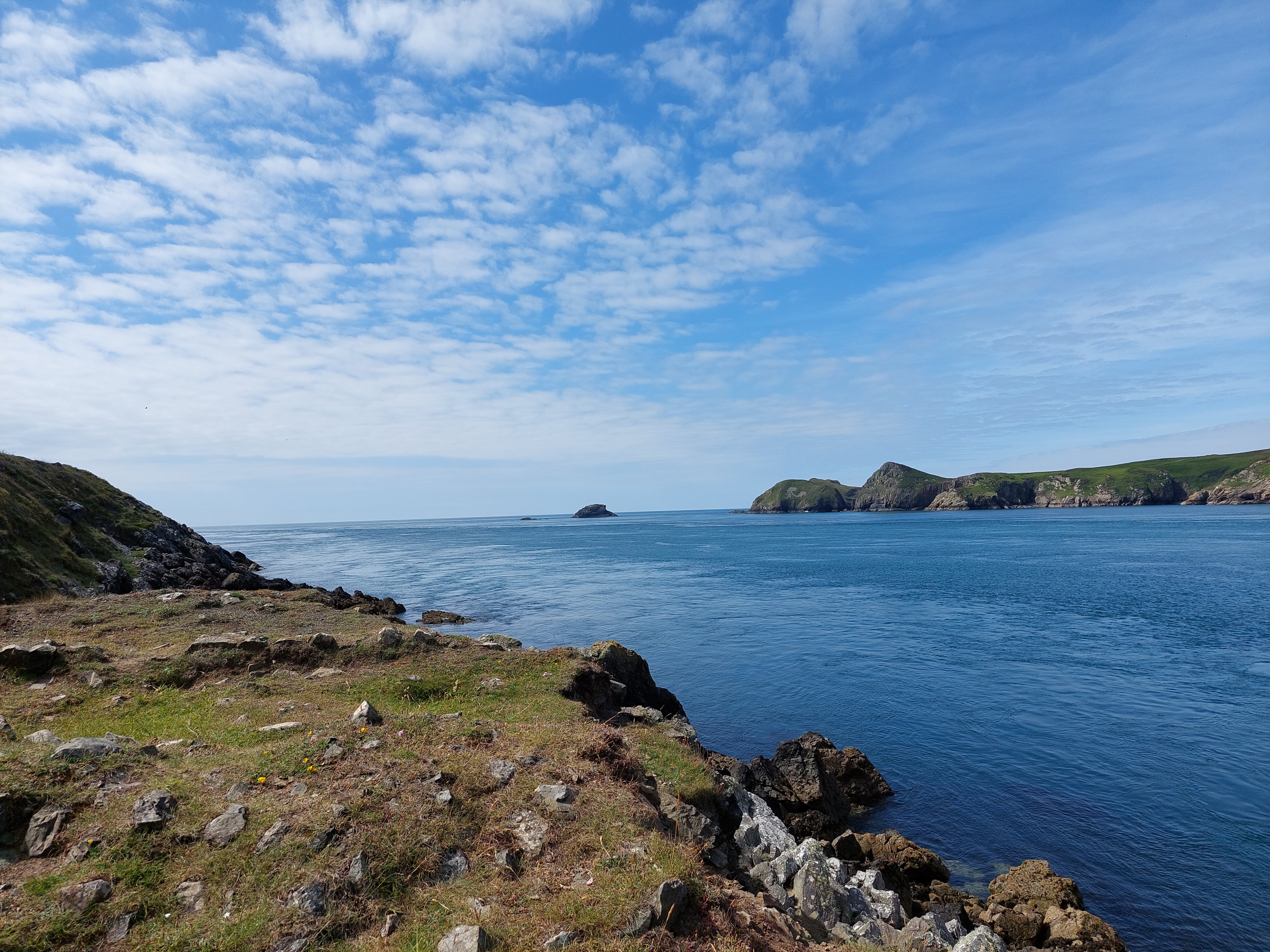
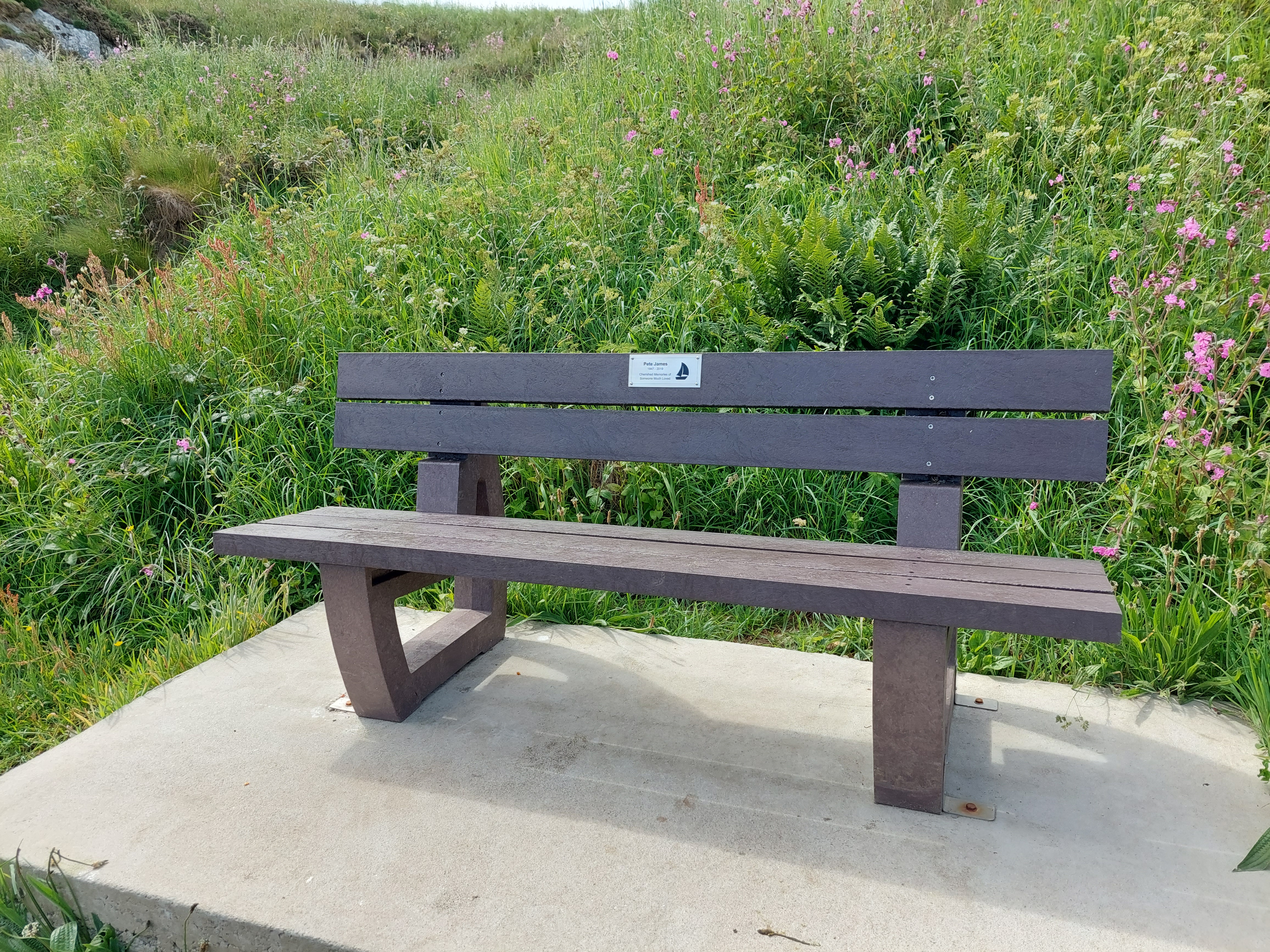
I availed myself of a bench (a rarity on the trail) for a brief stop. The early part of the walk the people were at a manageable level, but post my coffee stop (again with fantastic views of Ramsey Island) it was getting quite busy. This was a bit awkward as we wound round into St Justinian’s as the path was very edgy, narrow and a bit overgrown. I realised I was close to the time of the celtic coaster, so I didn’t avail myself of the available ice creams, touched the puffin touching point, and walked back up to the bus stop. The bus came a couple of minutes later.


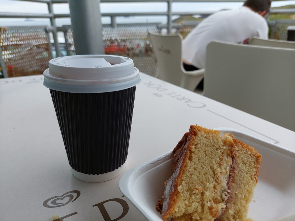
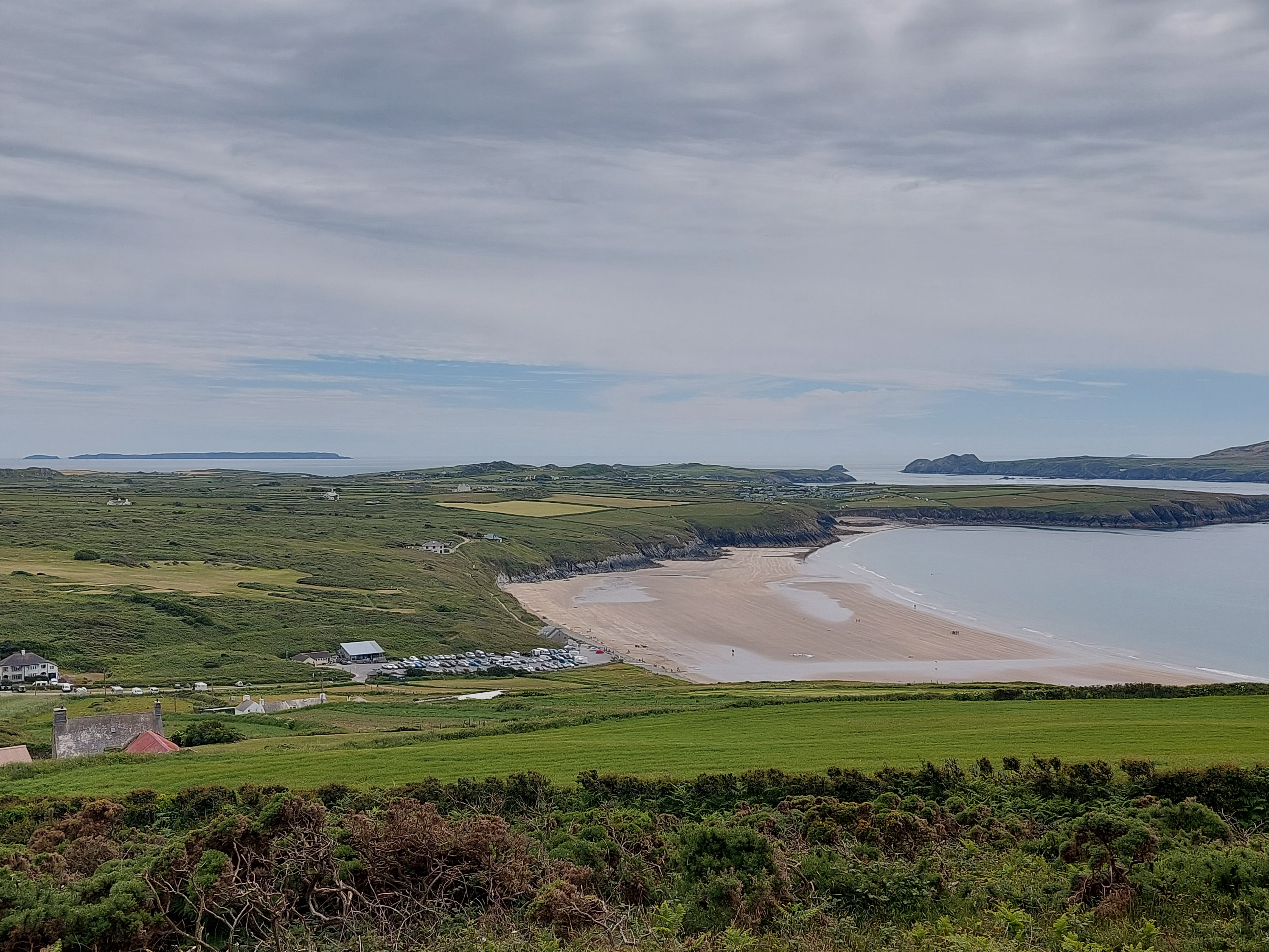
I disembarked at the top of the Whitesands car park, by the café, so had a coffee and a cake. My first of this holiday. The only choice was Victoria sponge, which tasted better than it looked. The café had seen better days I felt, as I had frequented it before. It had clouded over at this point, and I dithered about what to do.
I decided to give the onward coast path a bit of a go, so touched my coast path touching point and set off. I am on the horns of a dilemma. The next section of coast path is described as tough by the guide. It is 7.5 miles to Abereiddy where I finished the trail in September (but with no easy exit points!). I am keen to join the dots, but not put myself into terrain which is a step too far, and which could stretch my low level of fitness! I did another mile, with the going getting increasingly difficult – and the wildness of this section becoming much more obvious. I used a rock at the junction of paths as the touching point, and near some more wild horses, who were posing rather scenically.


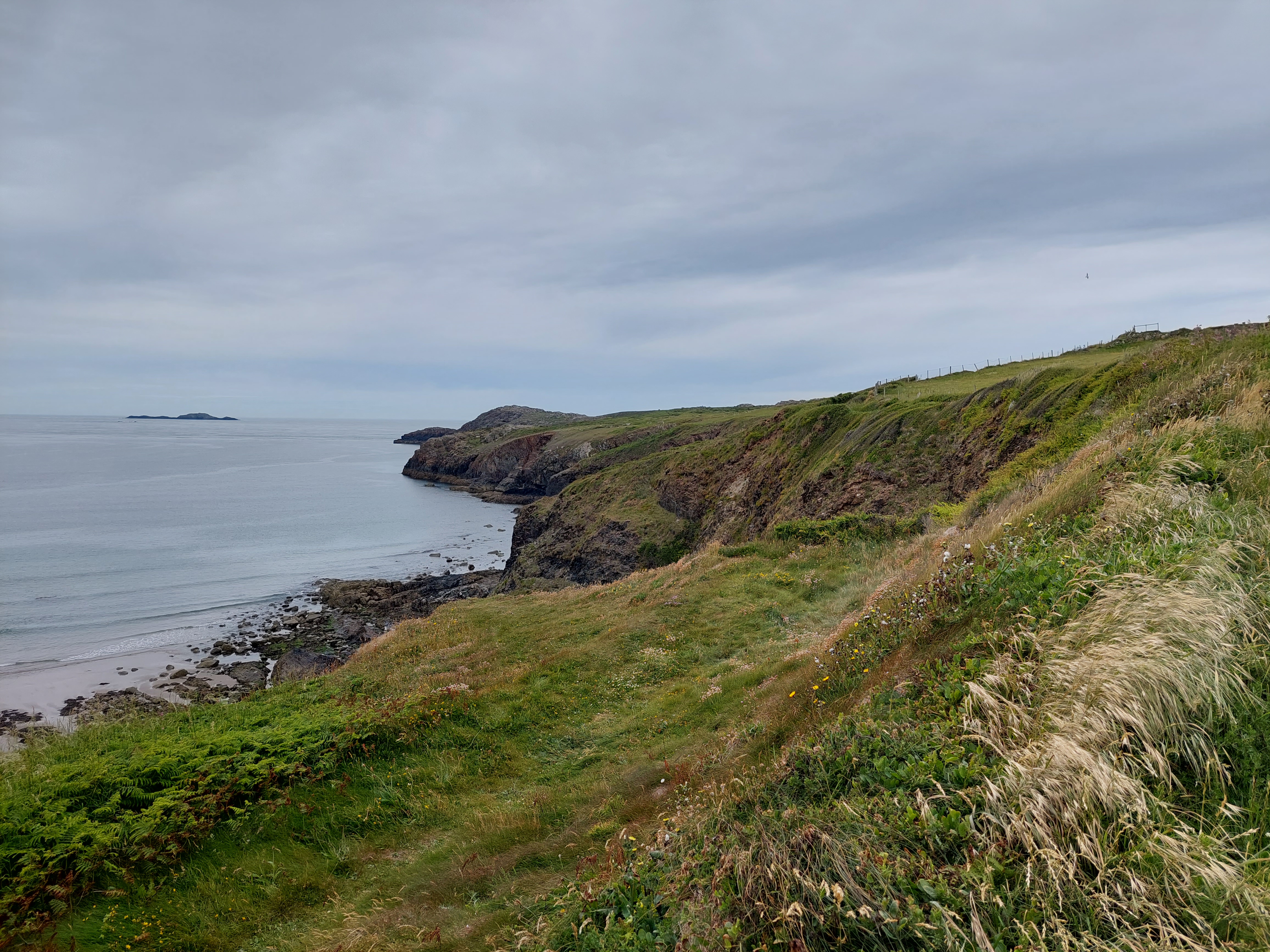


I took a left hand track, to go over the shoulder of St David’s head (not to ascend to the top) and head back towards Whitesands bay. The views from my higher vantage point were splendid in both directions – but this has also helped my resolve that this section of the coast path really should not be attempted in my current condition and on my own, so I need a plan B! The views back over the ground I had covered was equally inspiring (and I was a bit awed by how far it looked like I had walked over the past few days!). I found a good vantage point for lunch (but didn’t eat much as I was still digesting that Victoria sponge!). Whilst I was watching from this vantage point, I saw the “Fflecsi” bus and I wondered if that might help me joining the dots.

I drove home, and got to grips with understanding the ‘Fflecsi’ bus system and downloaded the app – eventually after a helpful chat with Cameron, a cunning plan B was sorted. I have booked to go to Abereiddy on Monday morning on the Fflecsi bus, and I will walk back across the peninsula from there (rather than on the coast path) to join the dots – It will be nice to have a change of scene on paths and lanes. This is not the first time I have had to be practical and pragmatic about what it is sensible to do!
Meanwhile – this Fflesci bus system might also help me with the path onwards with the non running walker minibuses due to driver shortages. We shall see! To be continued……….
