Monday 20th June – Abereiddy to Solva (base camp)
Total Steps: 16,016 – 16,016 steps on the trail
Total: 7.4 miles 7.4 on the trail
Running Total: 62.6 miles – 40.4 miles on the trail, 22.2 miles off
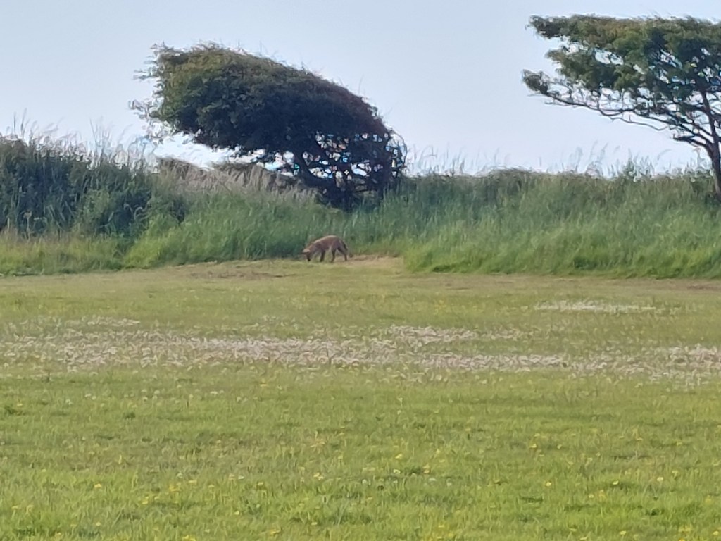
Different start to the day, as I collected things I needed from the car, I saw a fox in the green space around complex containing base camp. The fox didn’t move when I first went out, but did move when I came back with my camera.
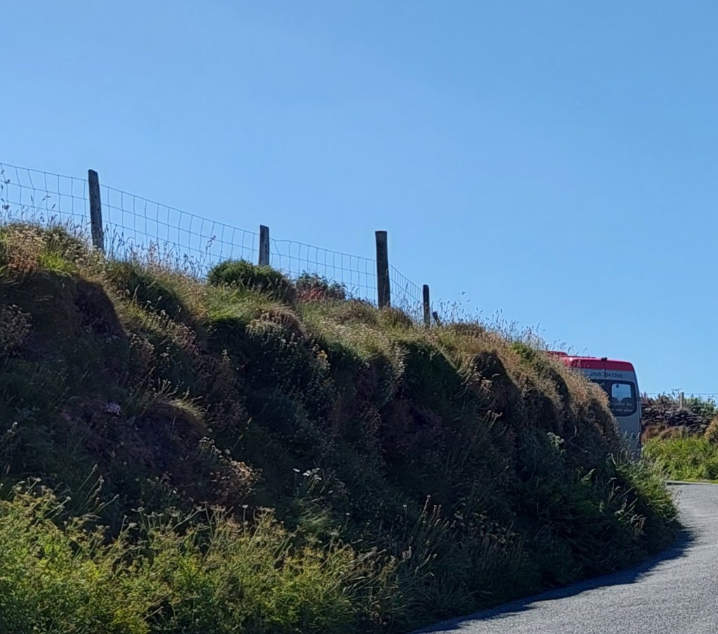
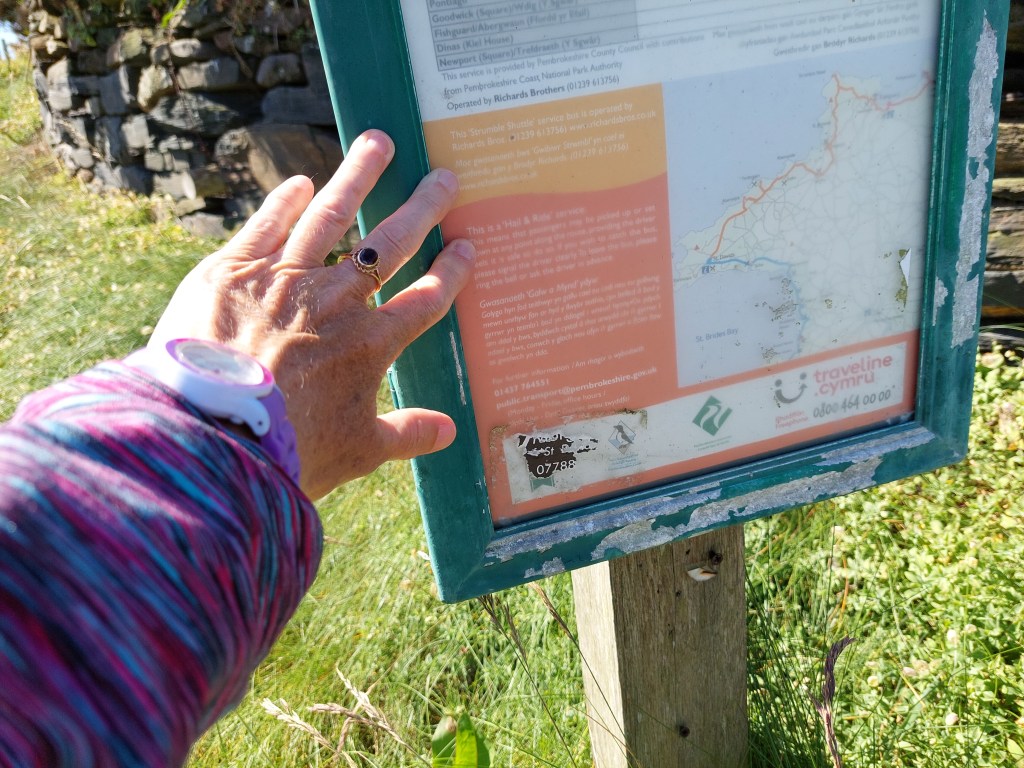
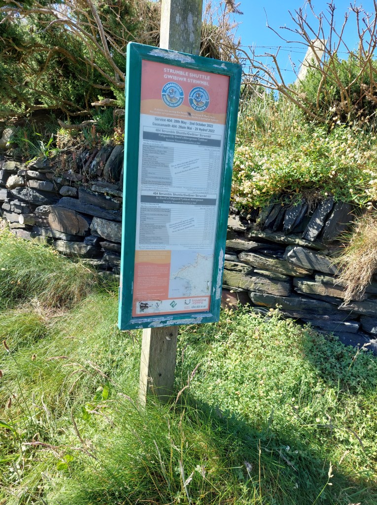
I then walked to the minimarket bus stop to catch the Fflesci bus. It had started to send me texts, but as I had had trouble with the booking, I could not make head nor tail of what the app was doing, I was a bit unsure about what would happen. Eventually the bus arrived, with the friendly Mike driving it. He explained lots of people found the app difficult to understand. We did 2 pick ups for shopping trips and it was good to see the care being taken. We then headed off for Abereiddy as I had booked and he dropped me at my last touching point – the Strumble Shuttle bus stop above the bay.


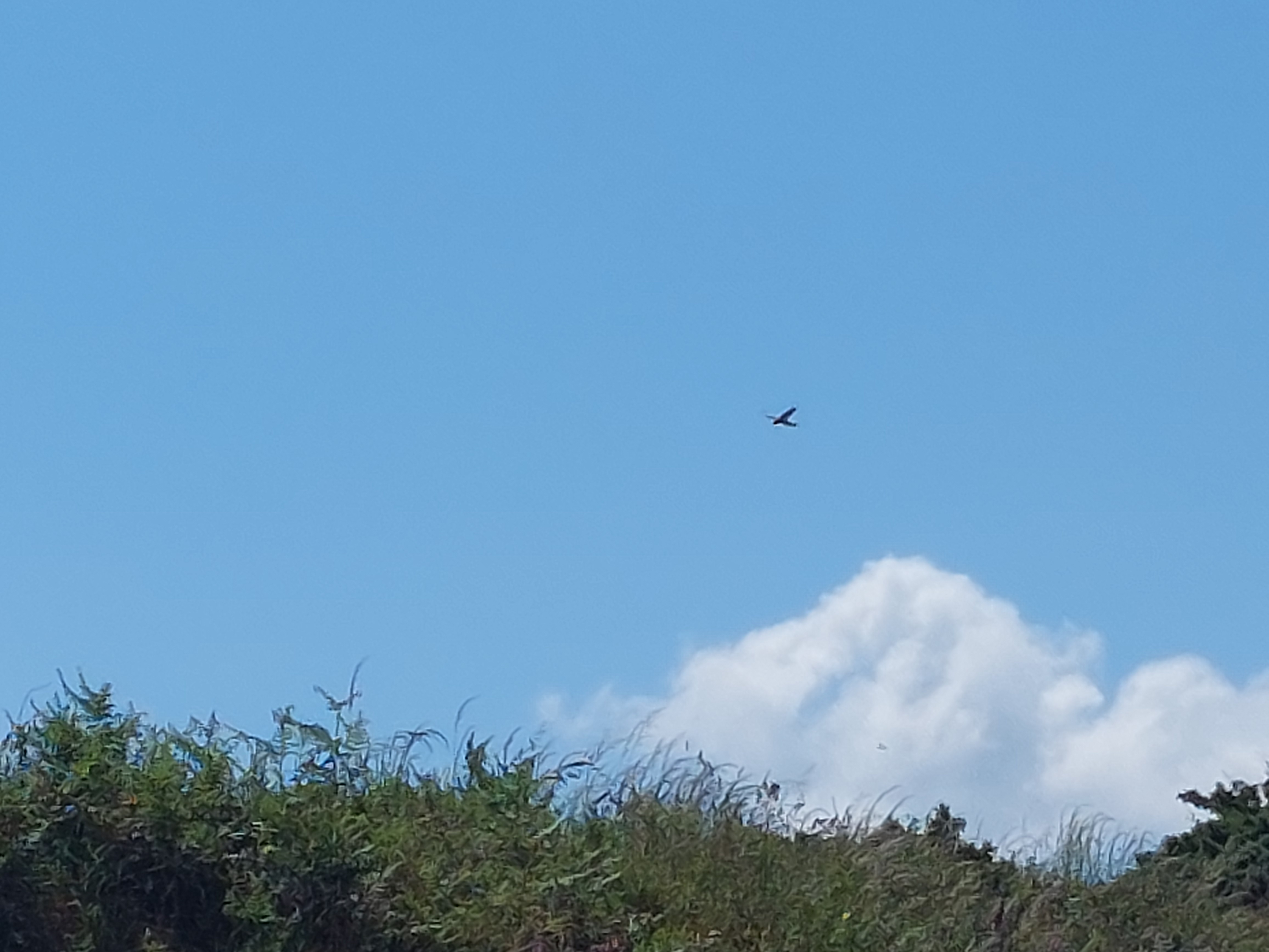
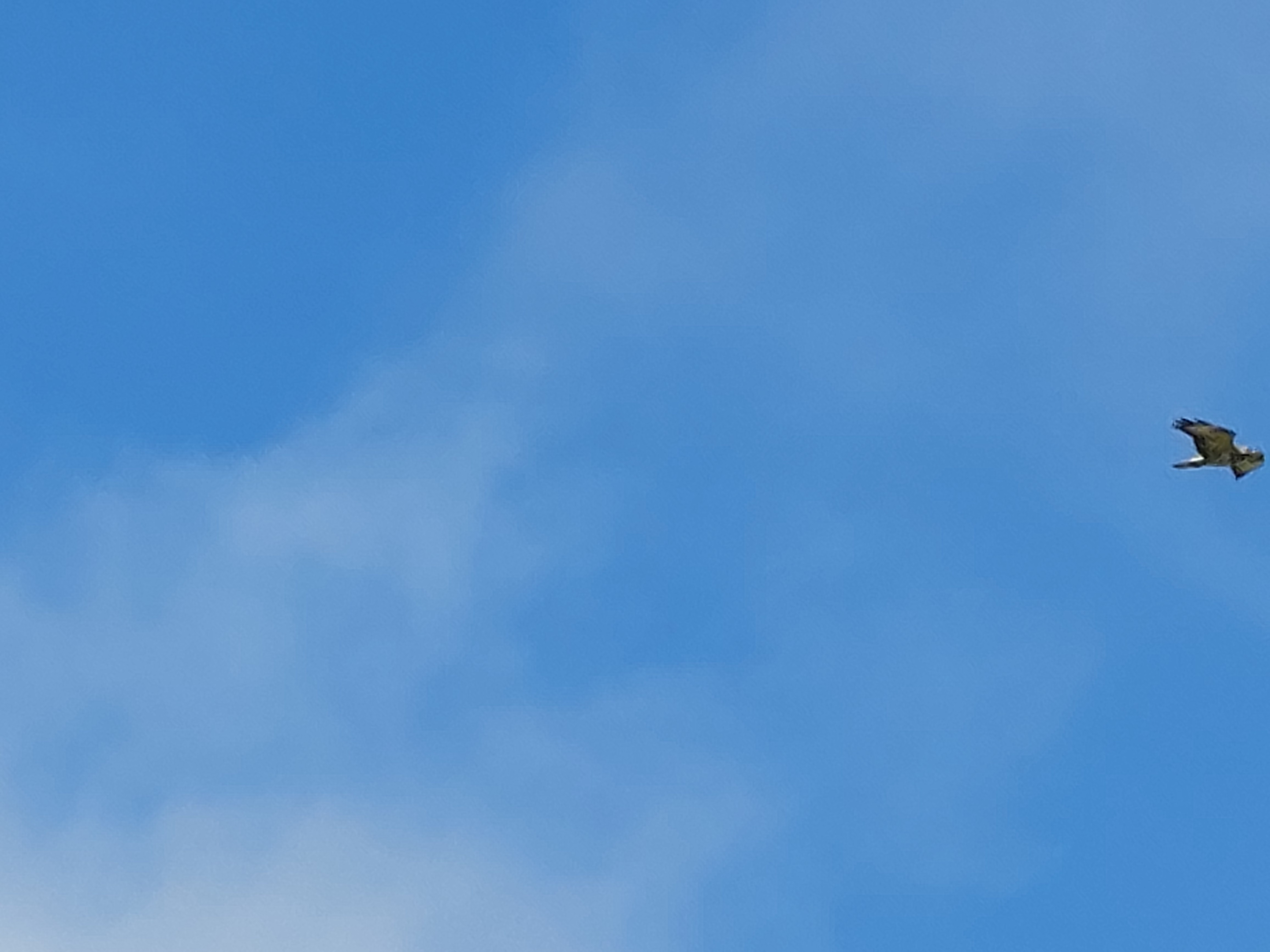
By the time I was ready to actually start walking it was 10:45am, and the weather was much warmer and the wind (alleluia!) had dropped. I briefly contemplated doing the coast path section, but decided my eccentric plan B was a safer option, so I started up the road, enjoying the views. I met a couple of people walking down the road, and we discussed the joyful warm weather. By a complex I saw a kestrel type bird of prey and later over the cricket field, and airfield a buzzard.
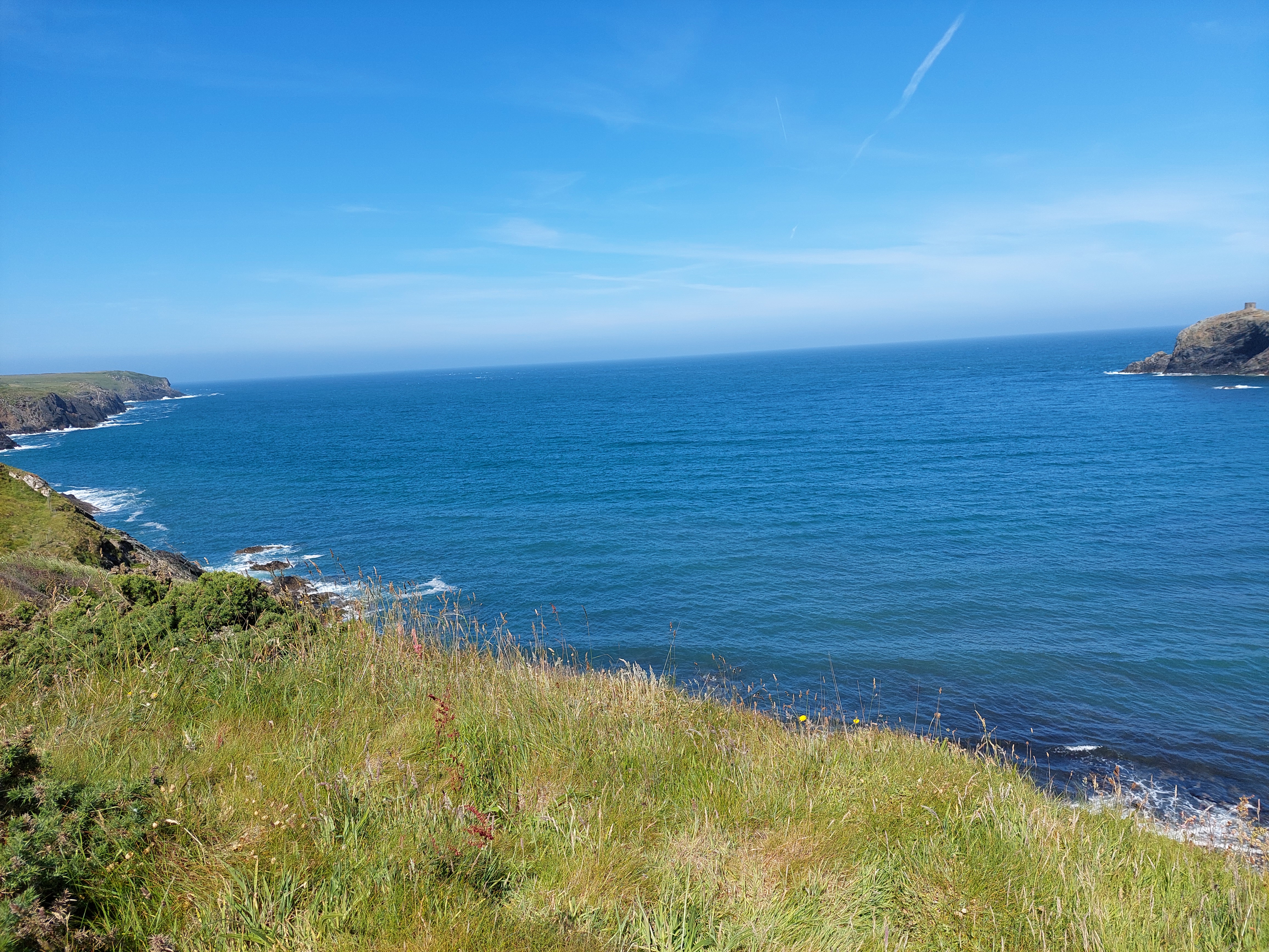
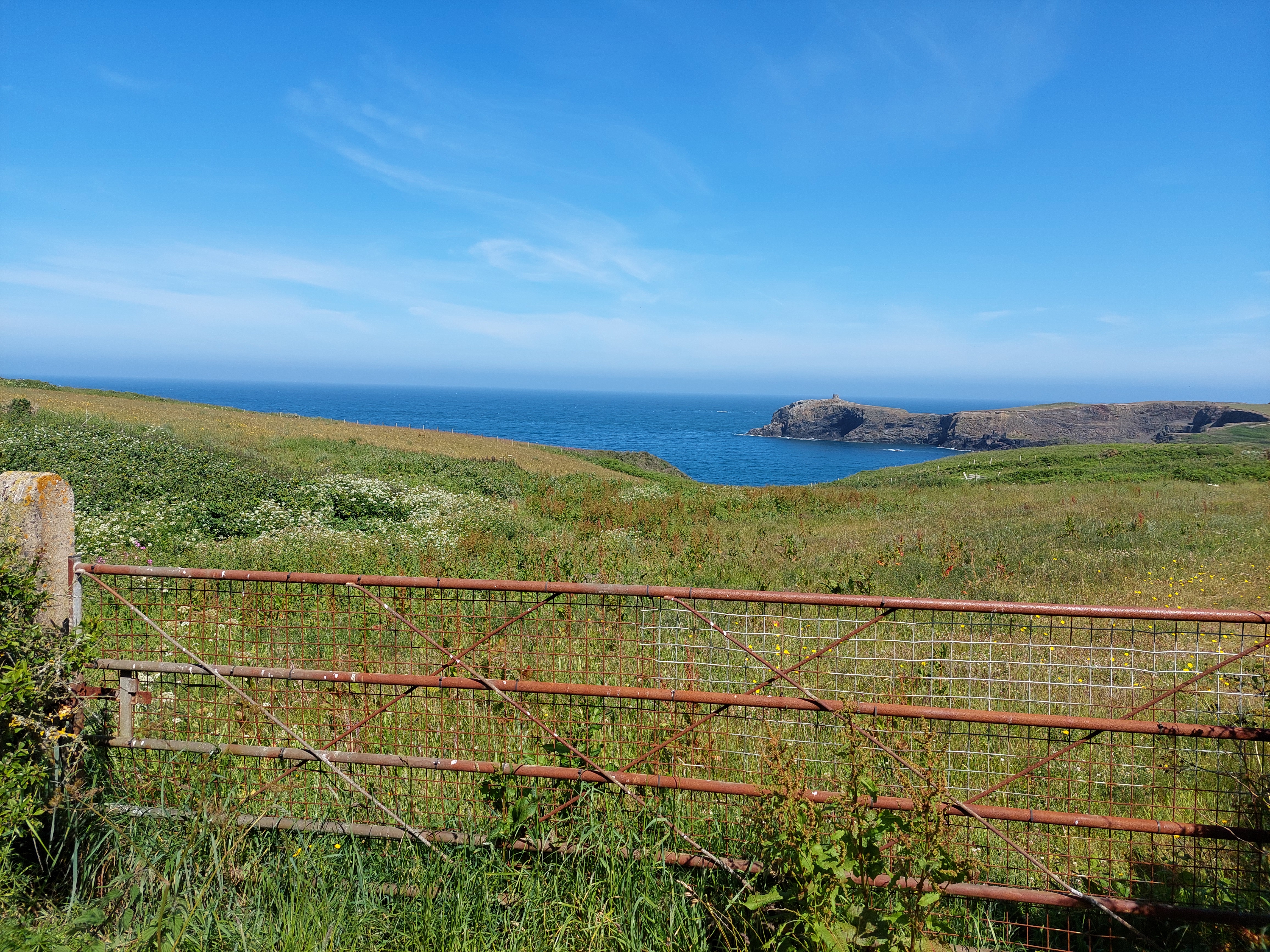
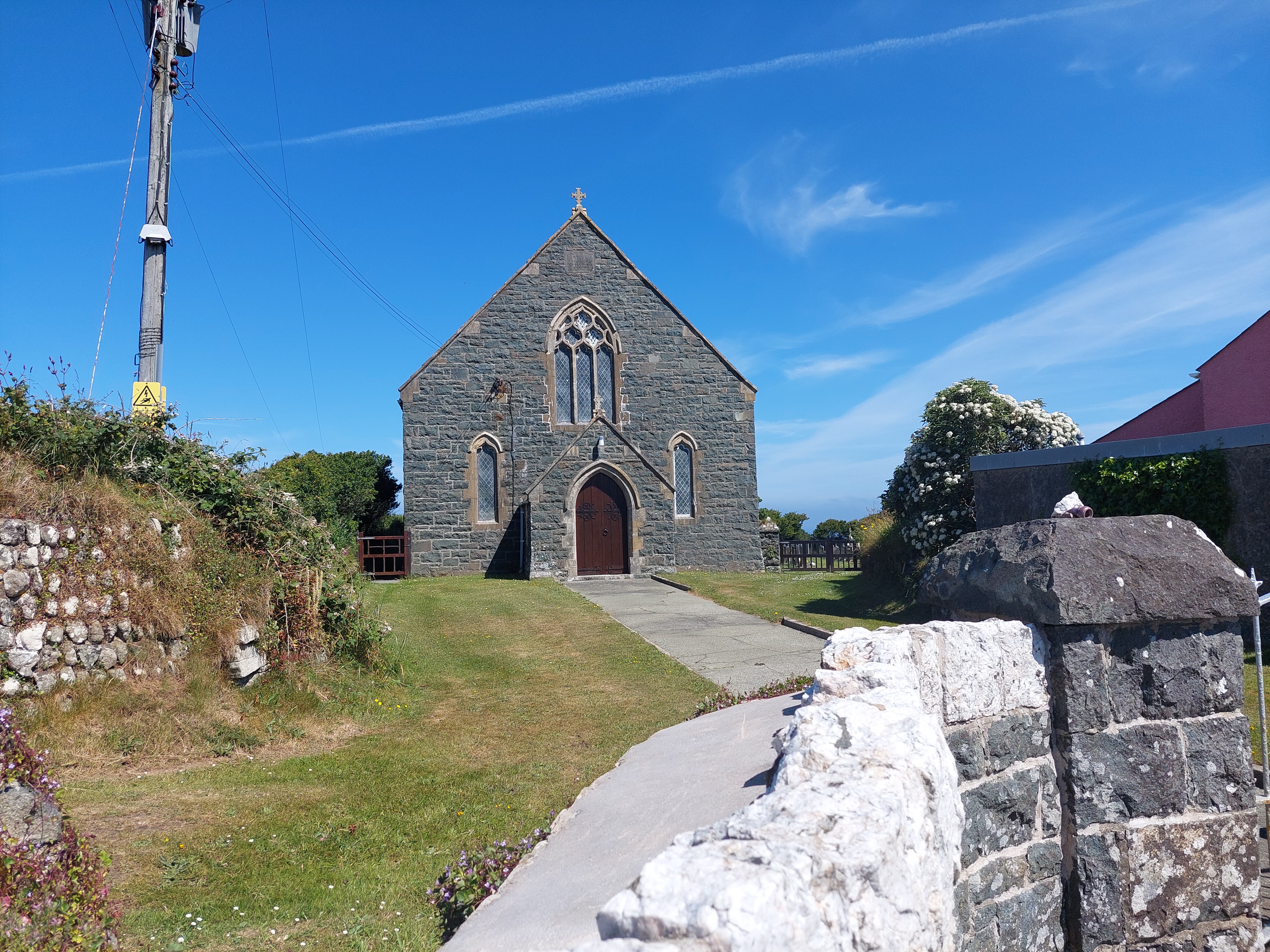

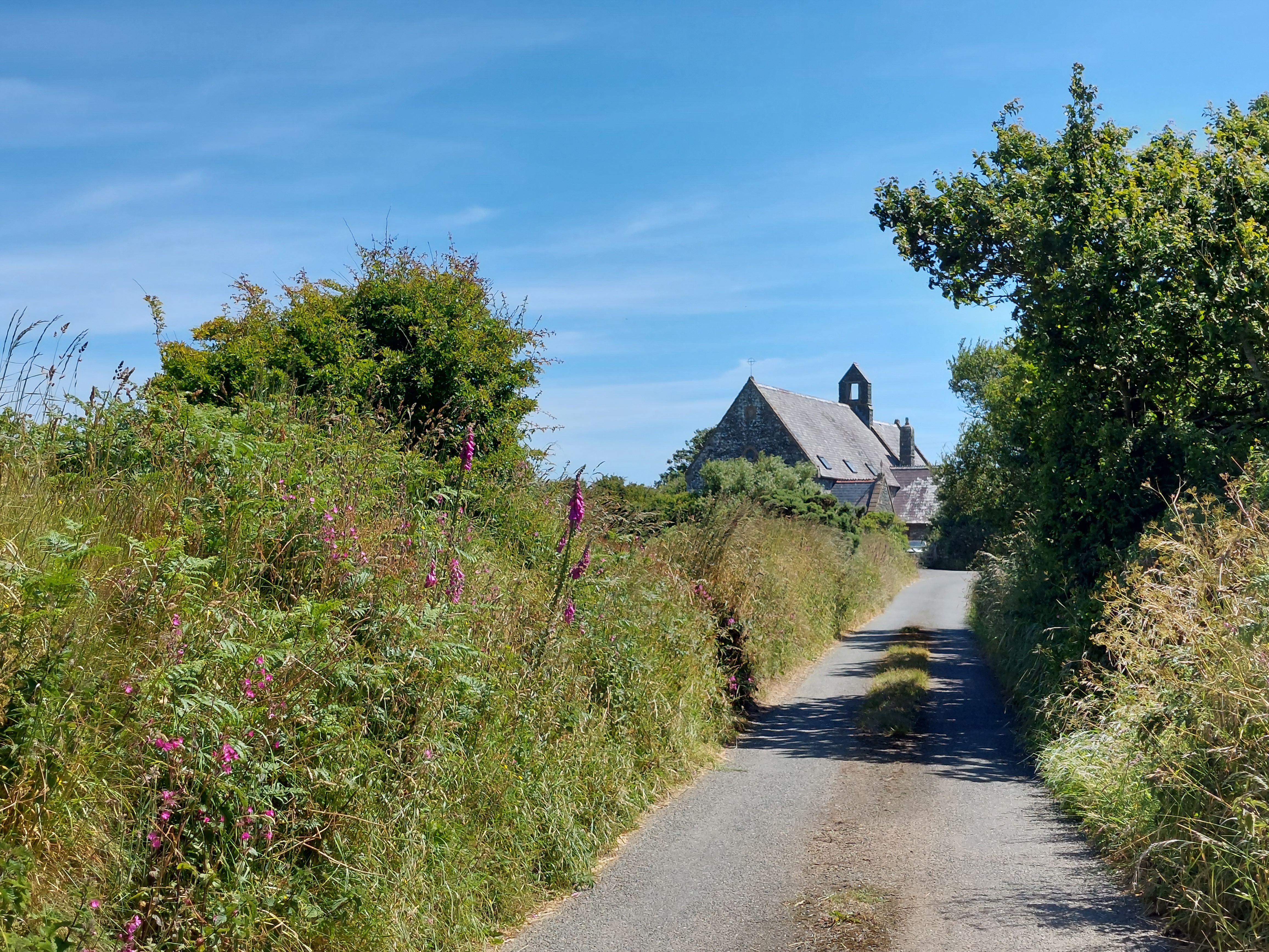
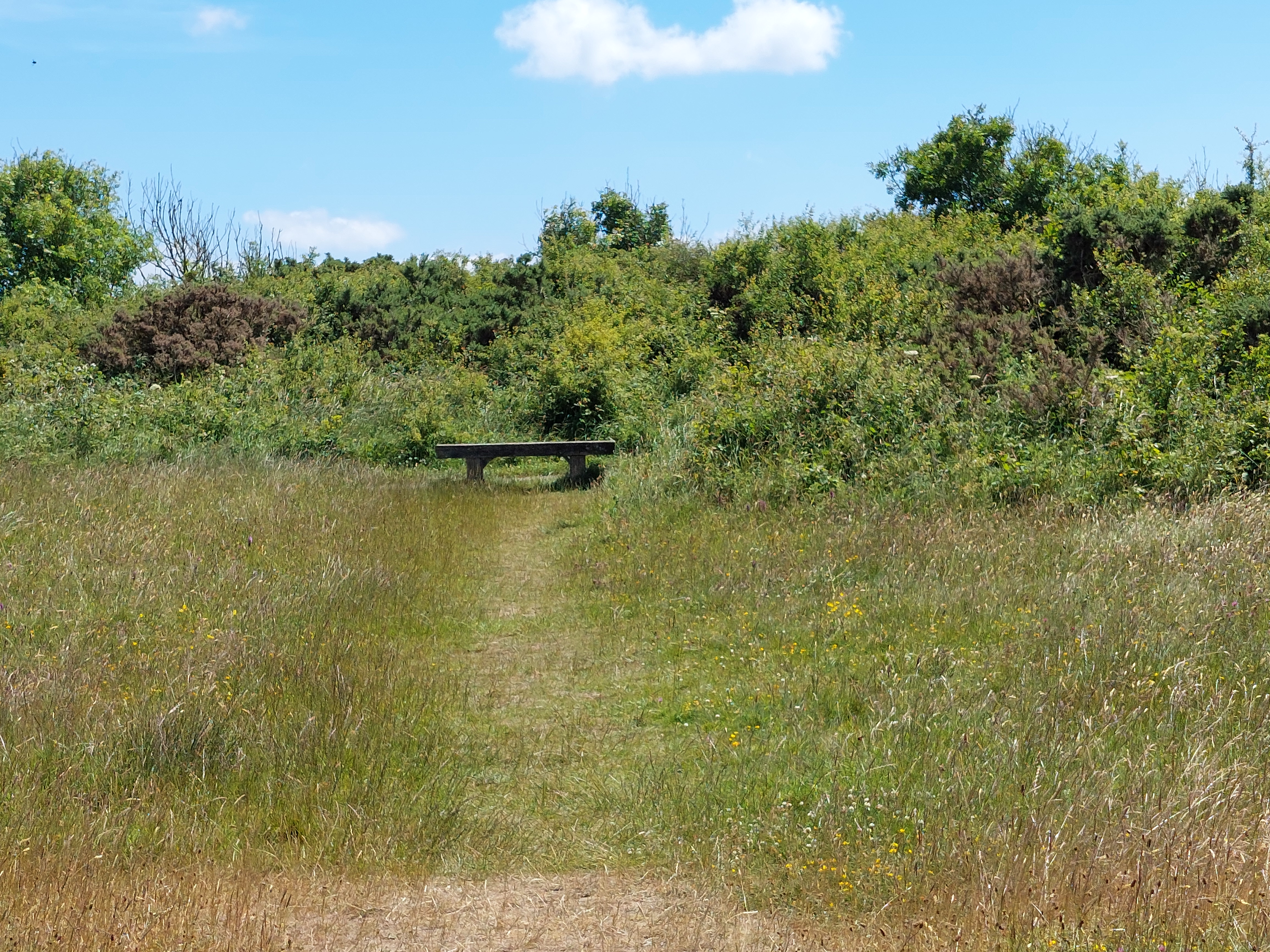
I got up to Berea and by this stage was looking for a place to have morning coffee. The chapel proved not to have any outside benches, so I continued onto a connecting side road (with grass up the middle in places). After about ¼ mile, I reached Llandigige Fawr. Fortunately there was a very pleasant cricket pitch with benches, ideal for my purpose and with great views across to the striking headlands behind St David’s.

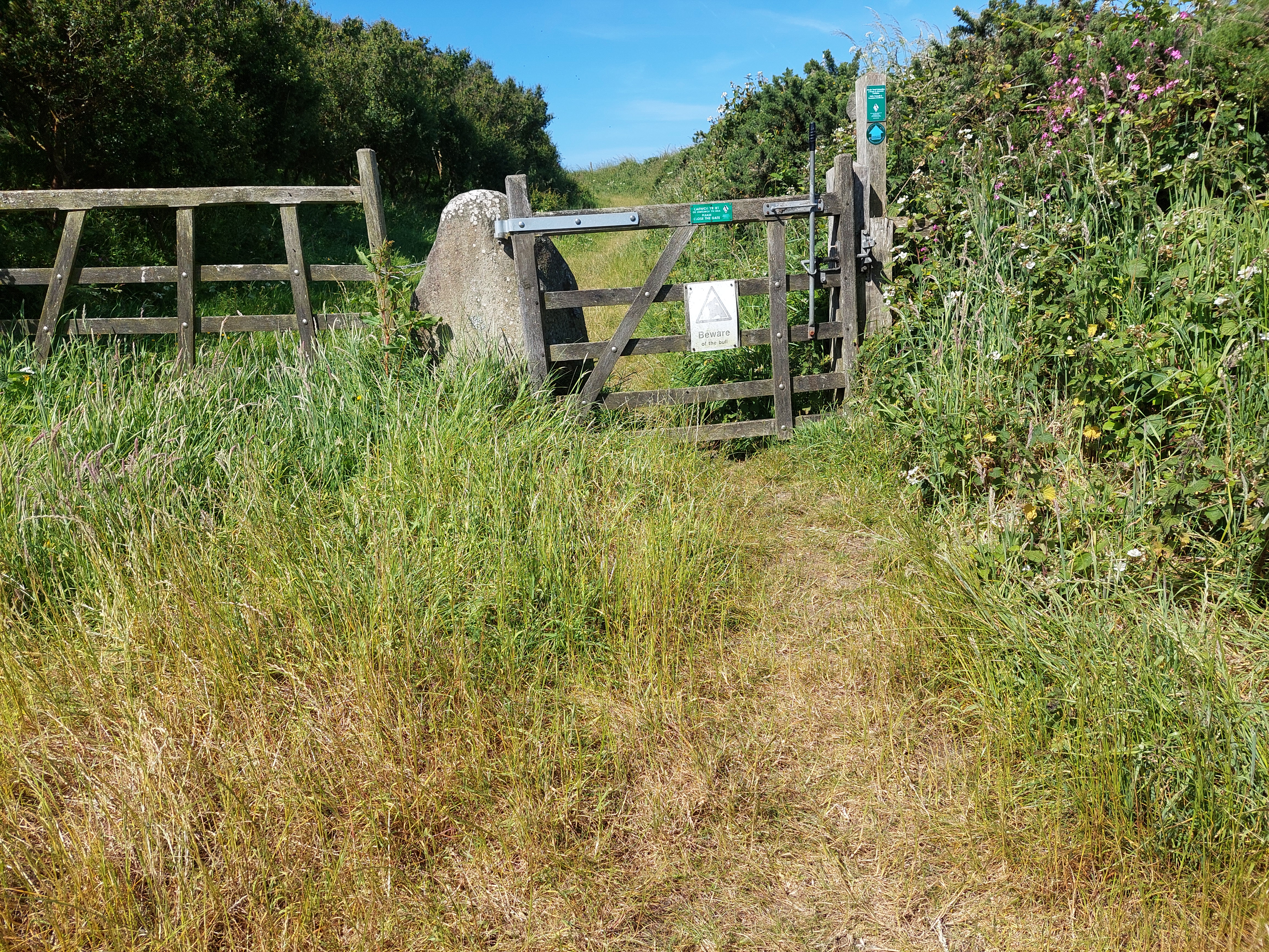
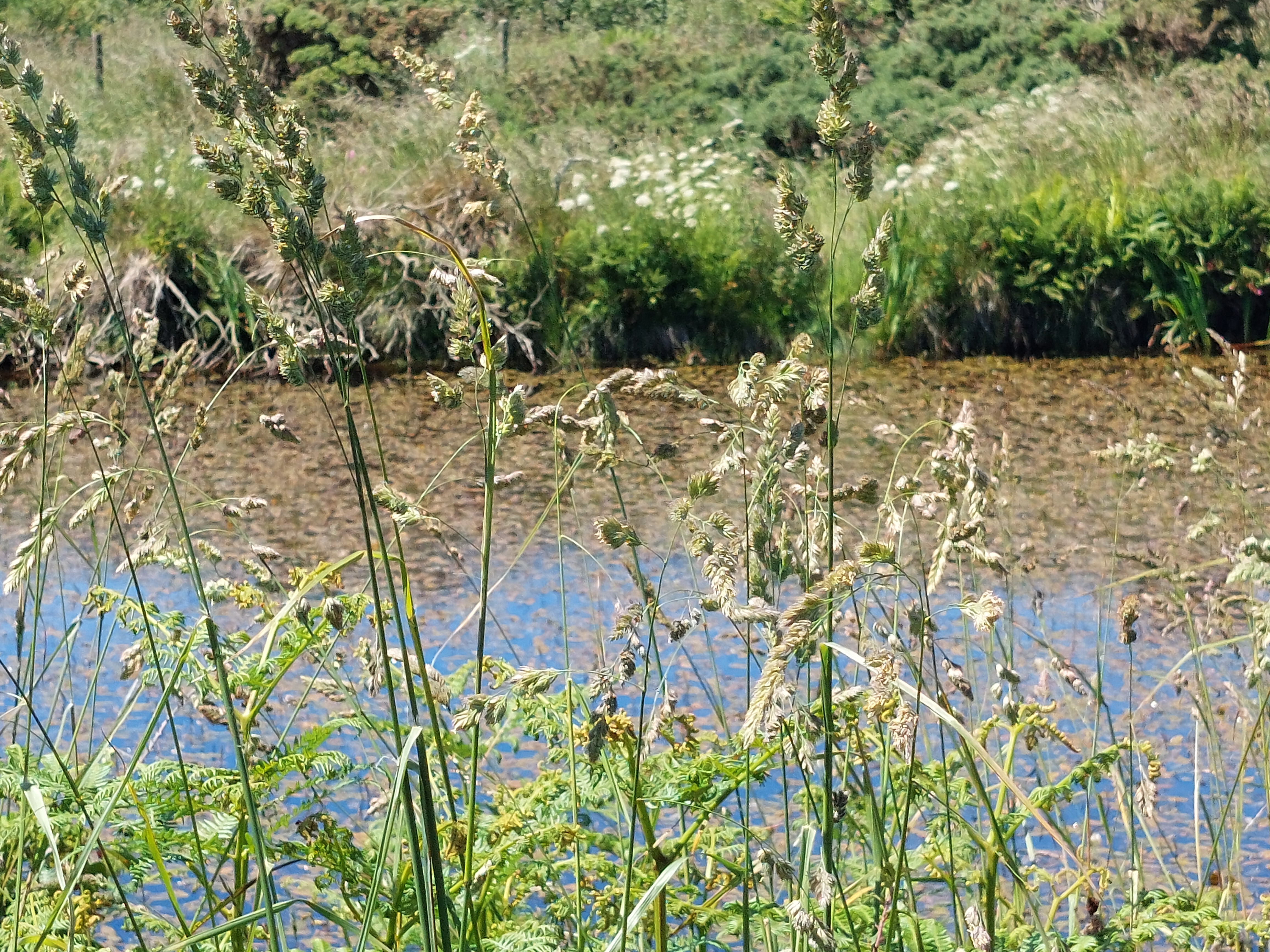
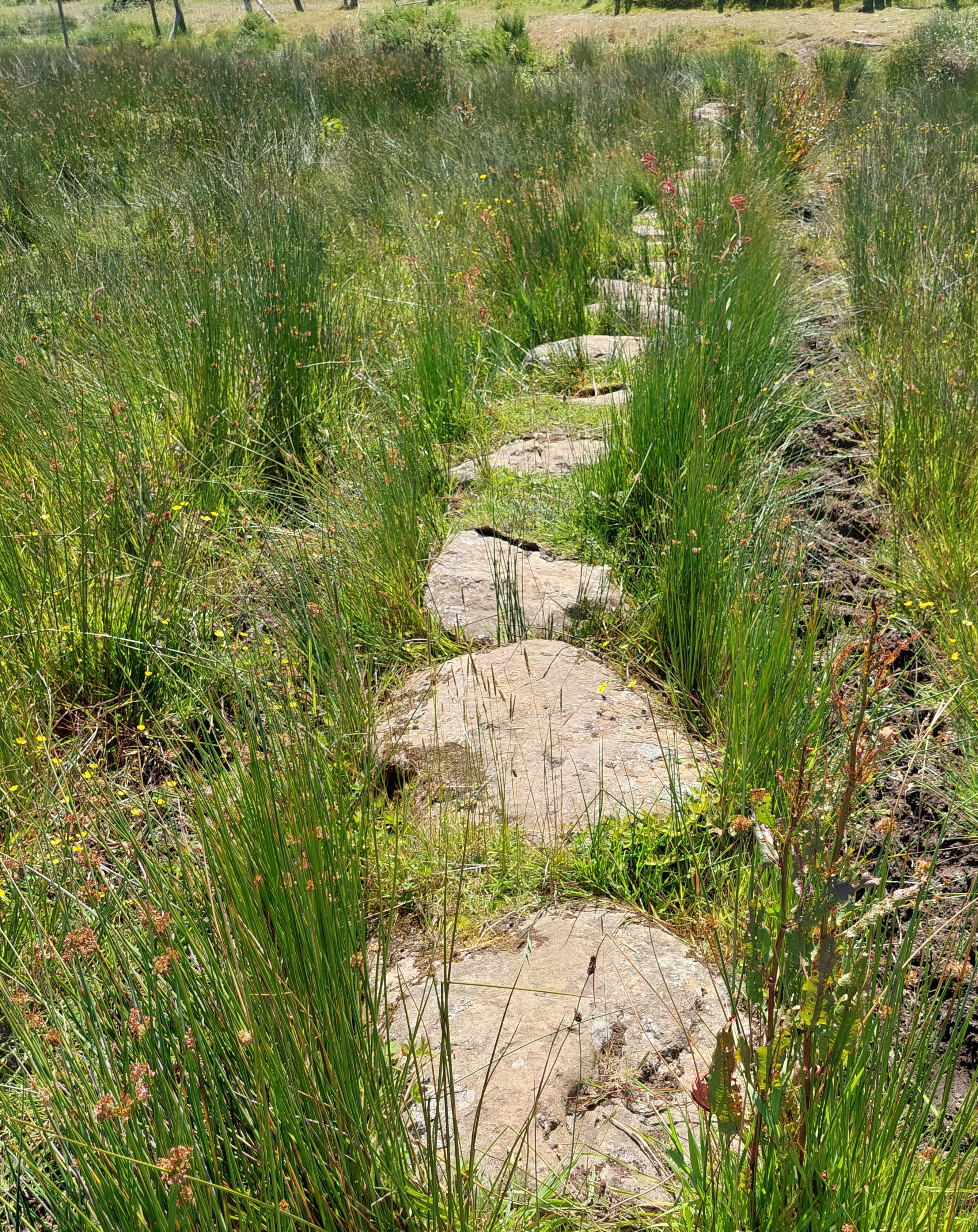
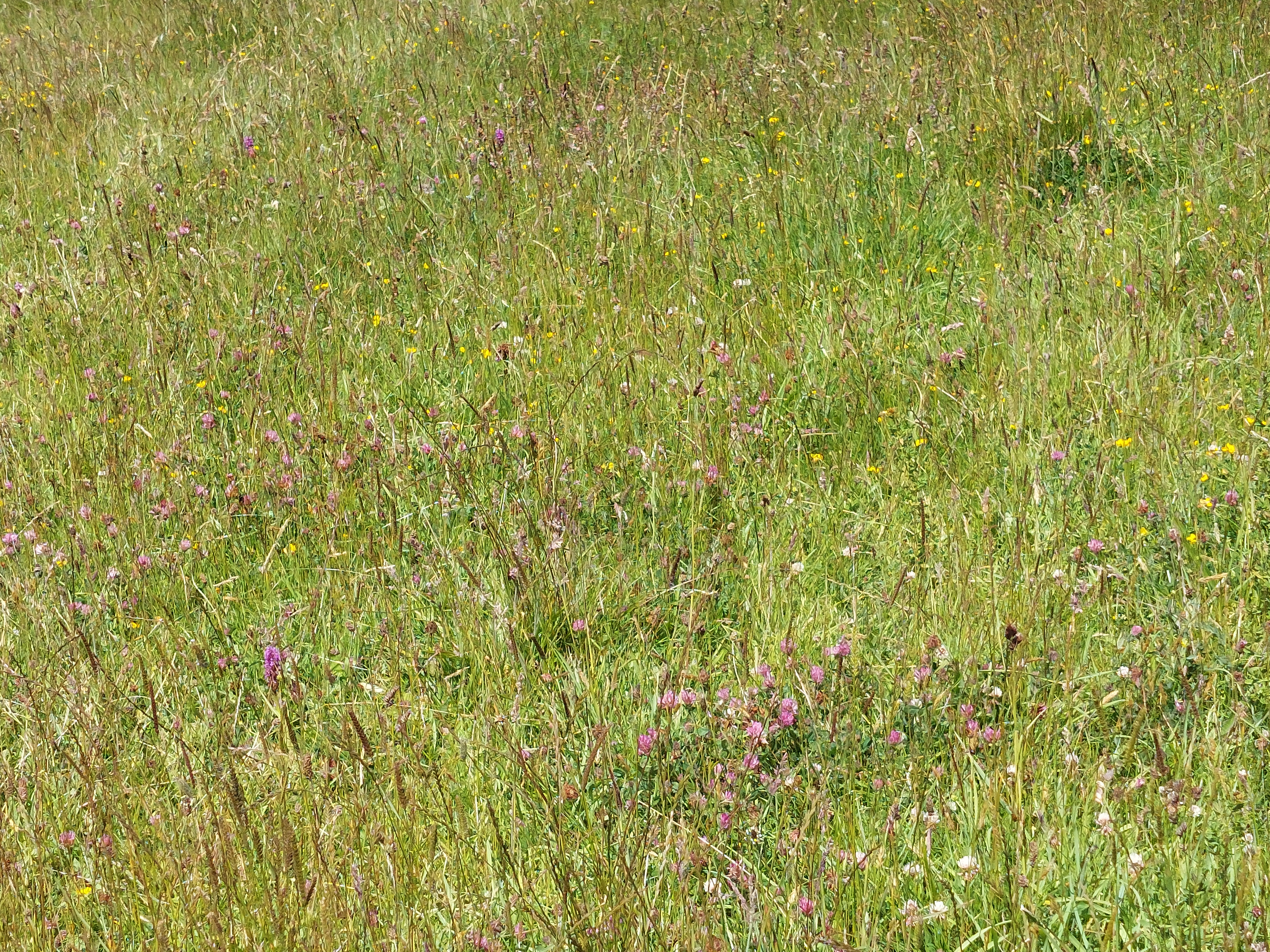
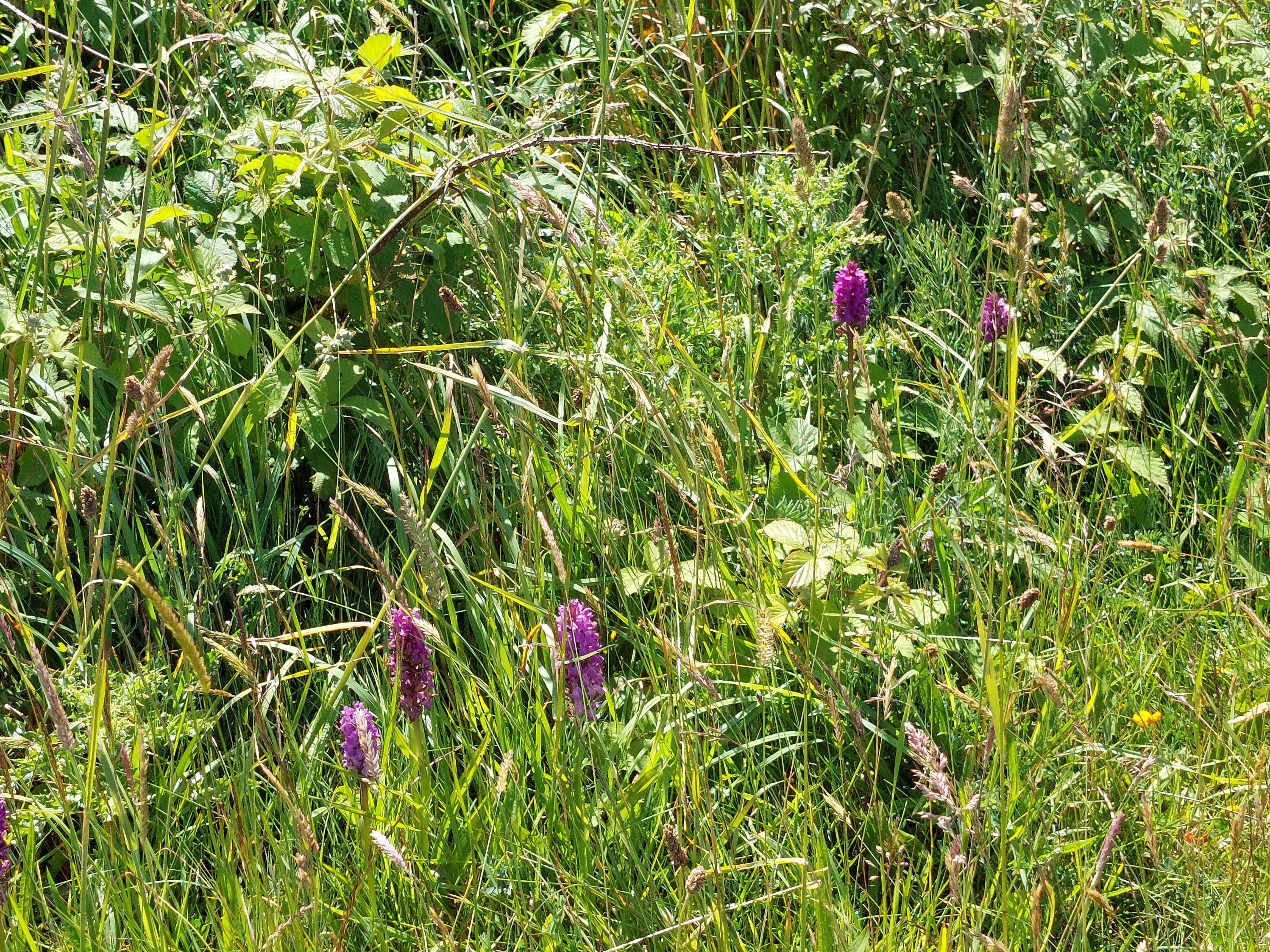
It was warm going on the minor road, this time I saw a church which had definitely been repurposed. Then there was a very brief section on the main A road, which I did as quickly as possible. Traffic was light fortunately, and I was soon at the next minor turning, and the entrance of a rather overgrown green lane path. This led to an area of common land, rather overgrown, marshy with lots of local ponies. One of whom was very keen to get acquainted. The path was a bit indistinct in places, and towards the end of this section and to avoid some mud, there was a section of stepping stones. I began to see in this section and the disused airfield beyond lots of orchids.


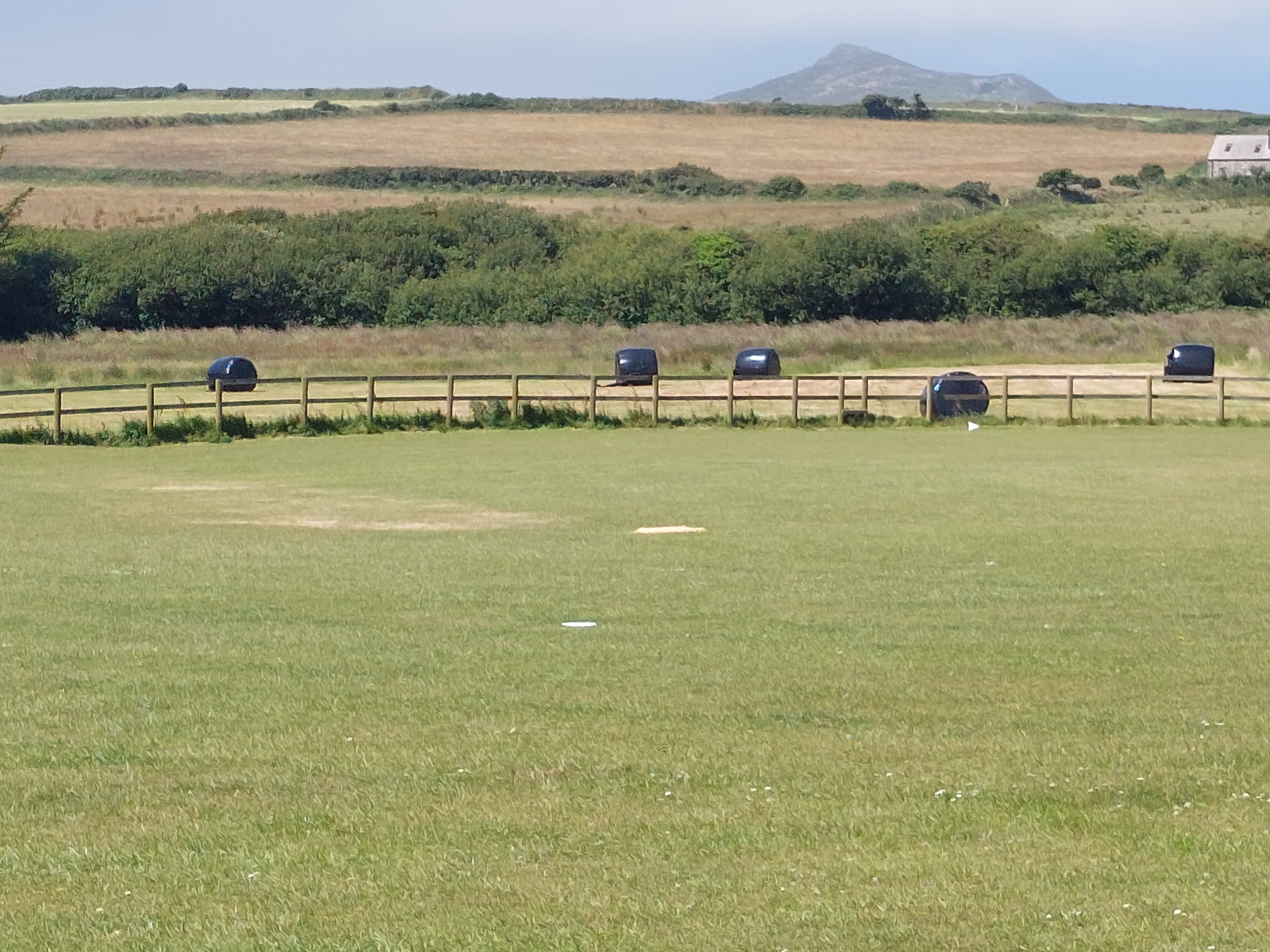
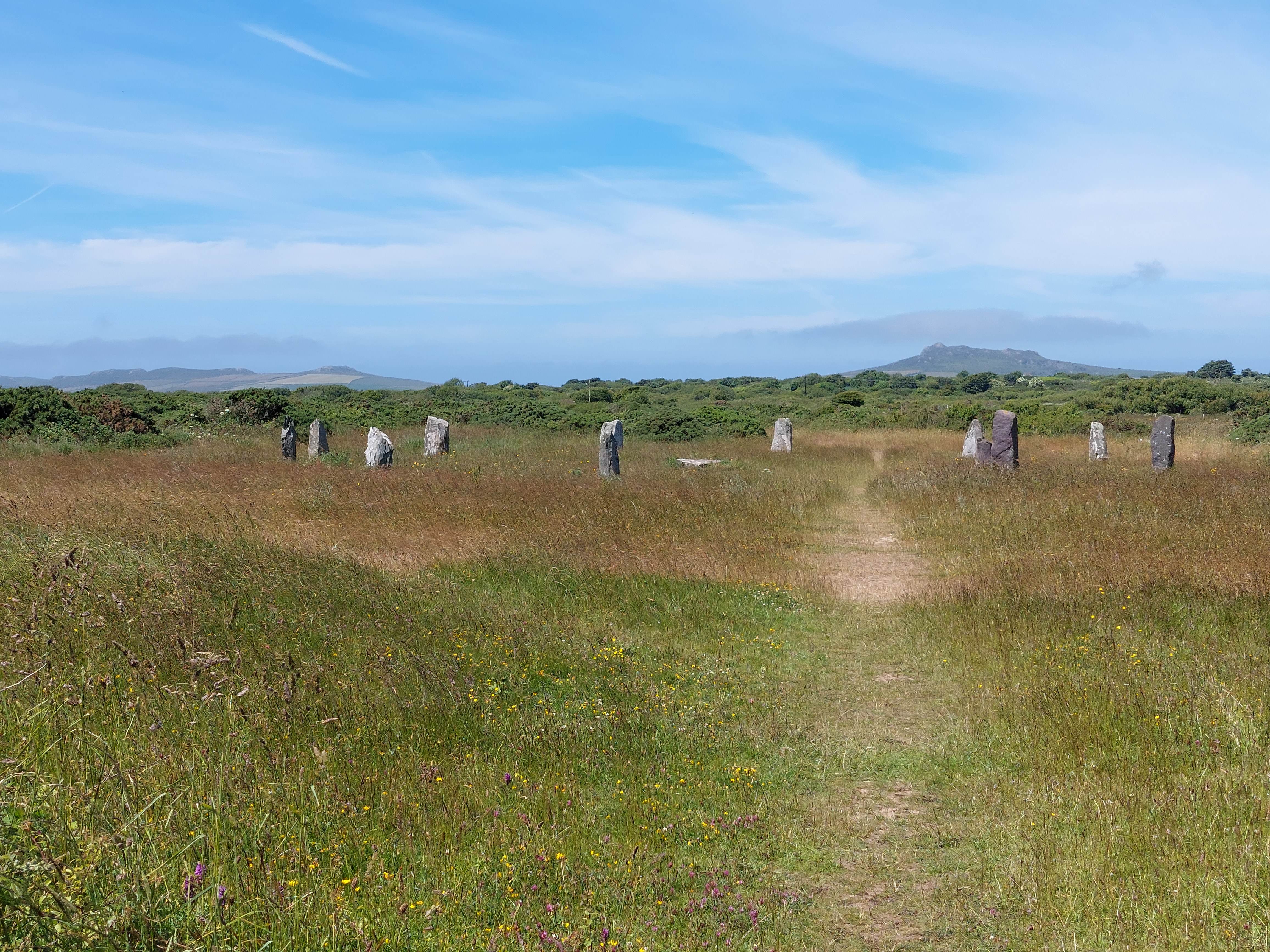
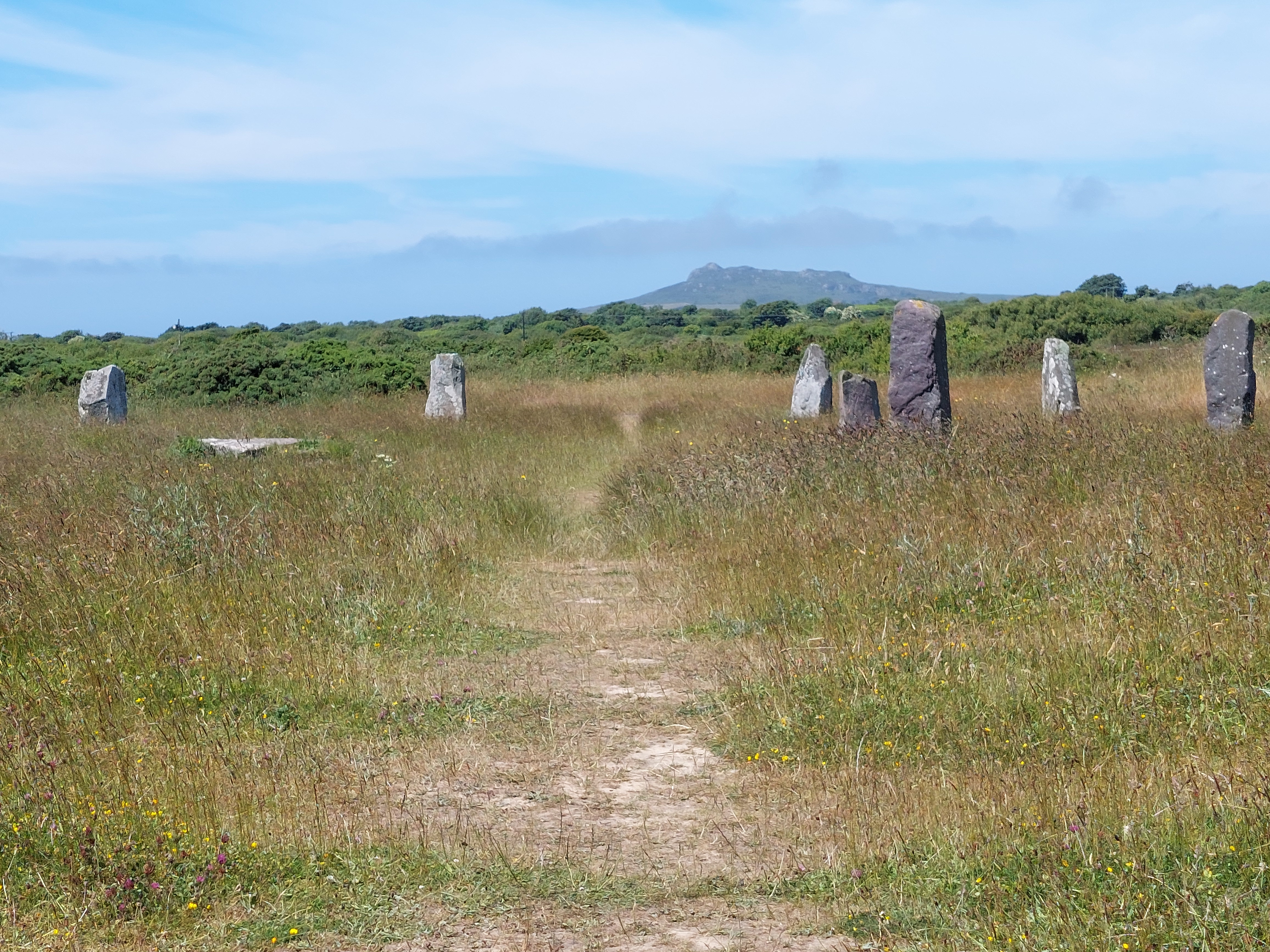
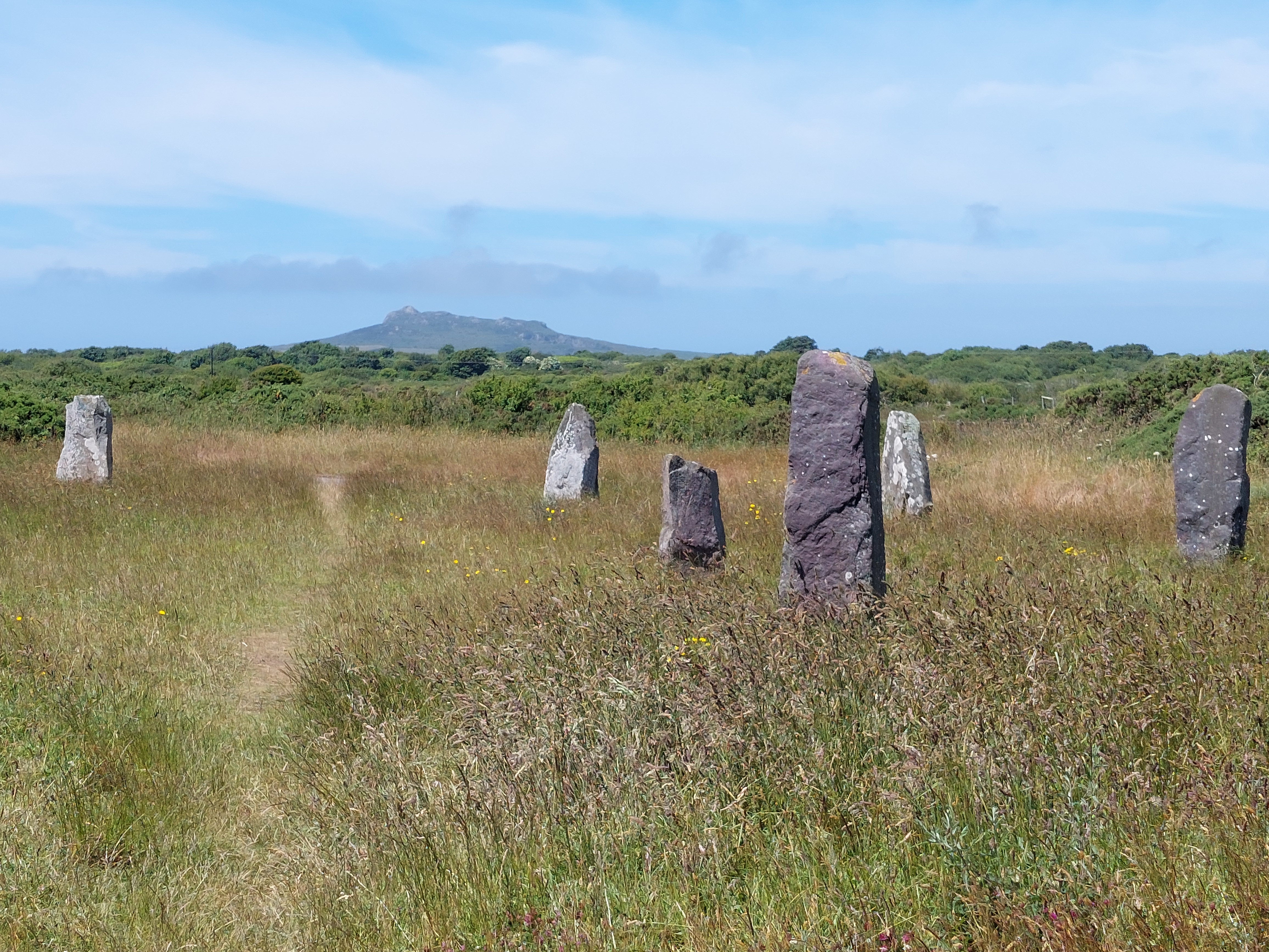
It was a relief to get to the airfield, which turned out to have paved paths, and I met the team mowing the edges) – near where I entered there was a stone circle and a convenient bench for lunch. Again the views up to the distinctive headlands beyond St David’s set the scene. It reminded me of 2 things, stone circles being visible from above (like Avebury from the ridgeway) and the whole machair look of Lewis particularly with the stones.
The walk across the airfield was rather different, especially when we finally got to where the runway was. All the buildings had been removed, but I had happened on this by chance and it was certainly a good space that could be promoted more.


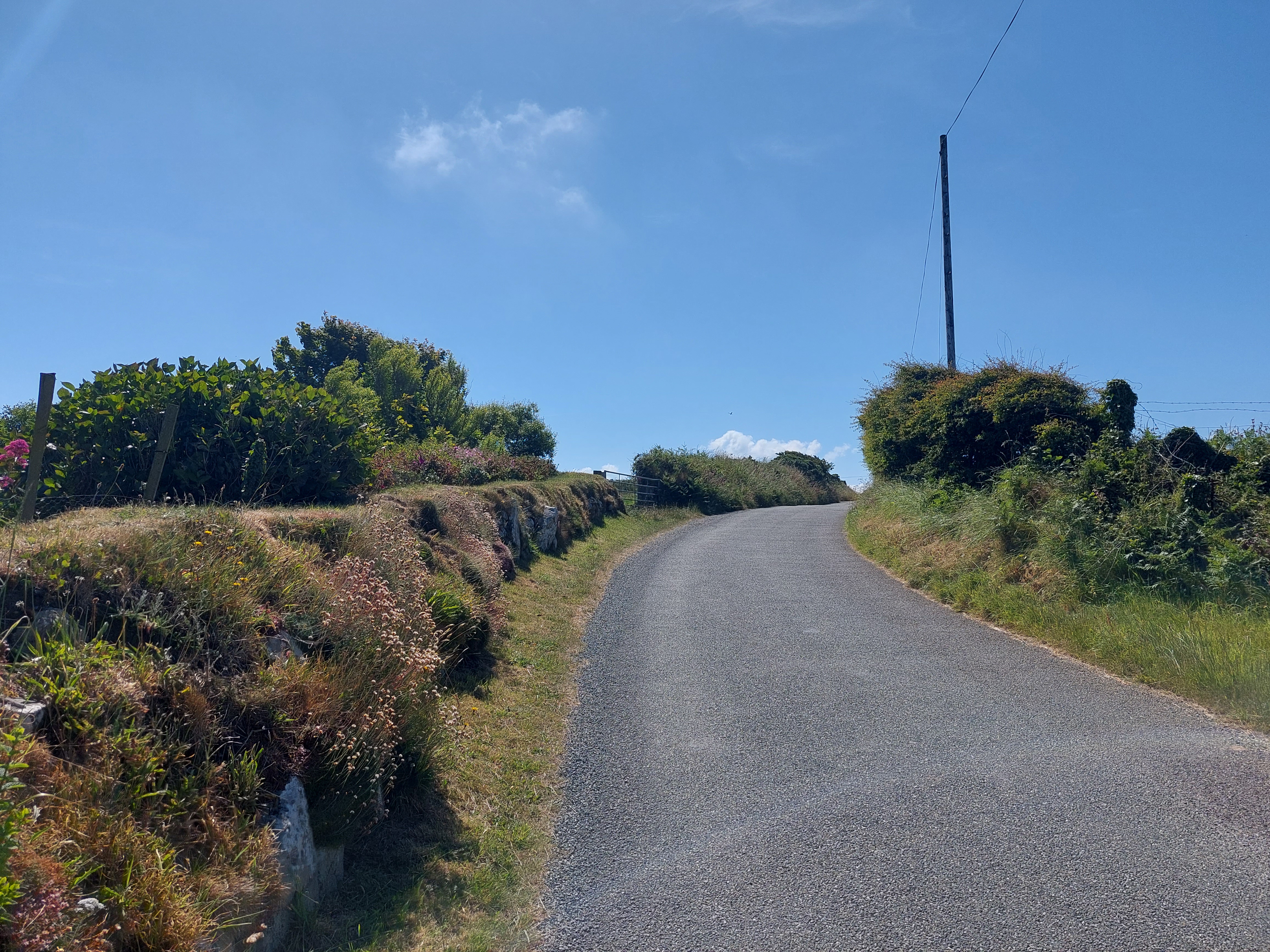
The next stage was a farm track, that passed a camp and caravan site, down to the main road, just down from the holiday let. I didn’t fancy another short stint on the edge of the A road, so I crossed over and made my way back to the base camp initially on a track, across the fields and then a path connecting to near where the archaelogist’s portaloo is!
It was a very different walk, but a good one and I was glad I had connected the gap with where I left off in September. Back to St Bride’s tomorrow as the prospective boat trip option has now moved to Friday. It was also good to do something easier (as I was quite achy after yesterday’s over exertions!)
