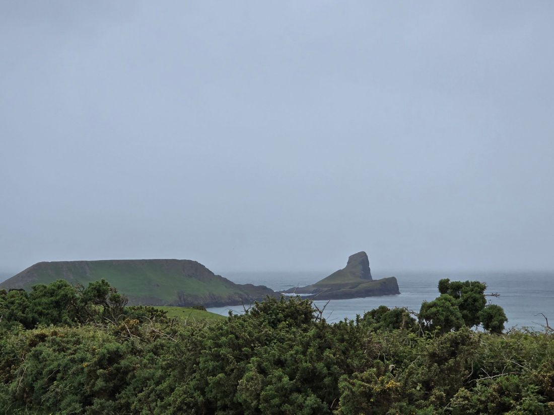
A wet end for now – 596 miles

Friday 19th June

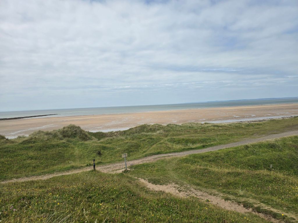
Circular walk from Rhossli

Steps on the trail 6182  (7184 off) –  Miles on the trail 2.67 (2.97 off!)

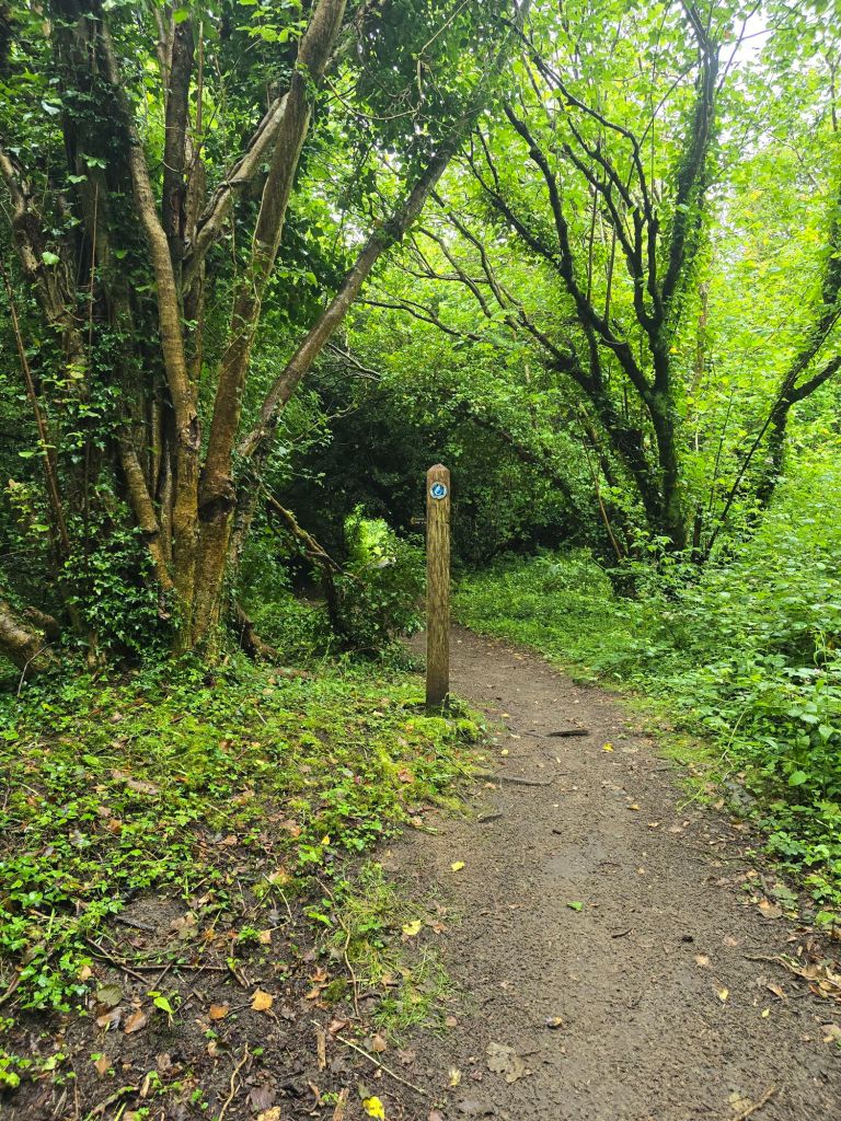
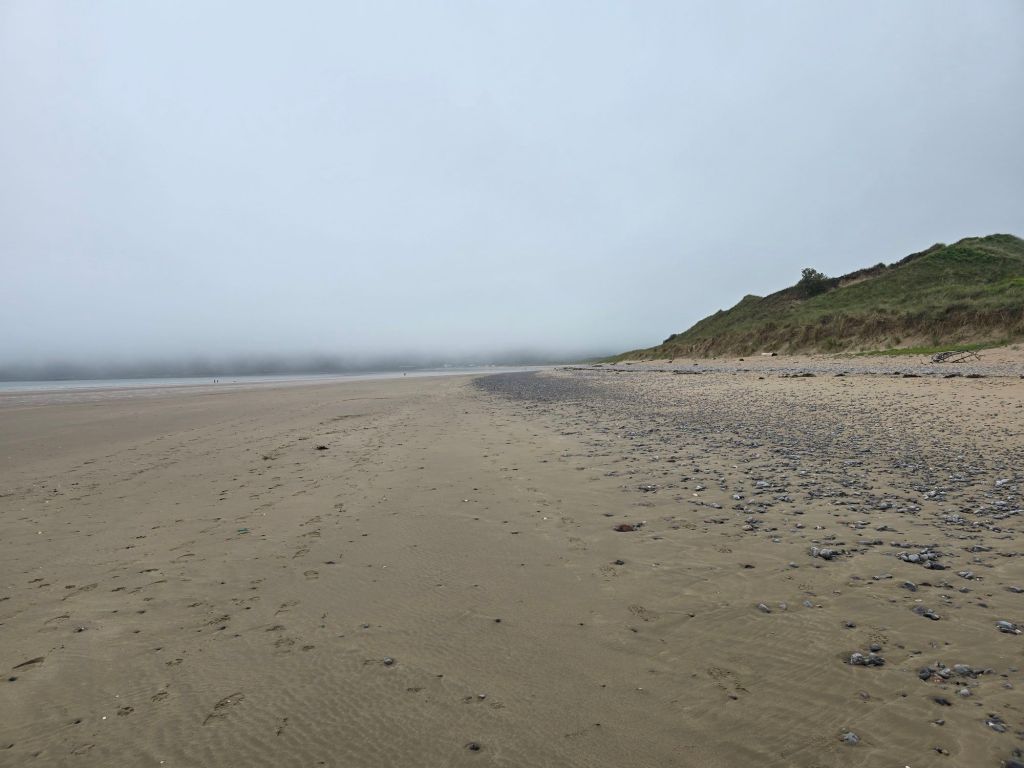
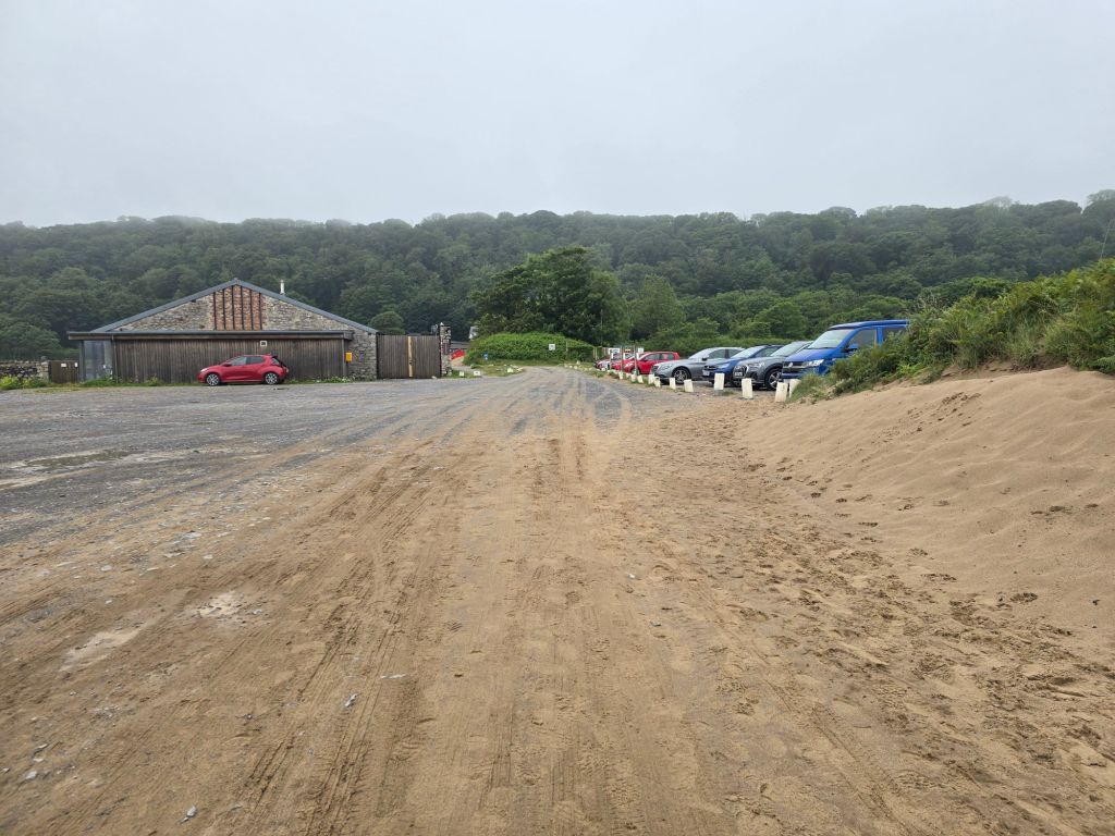
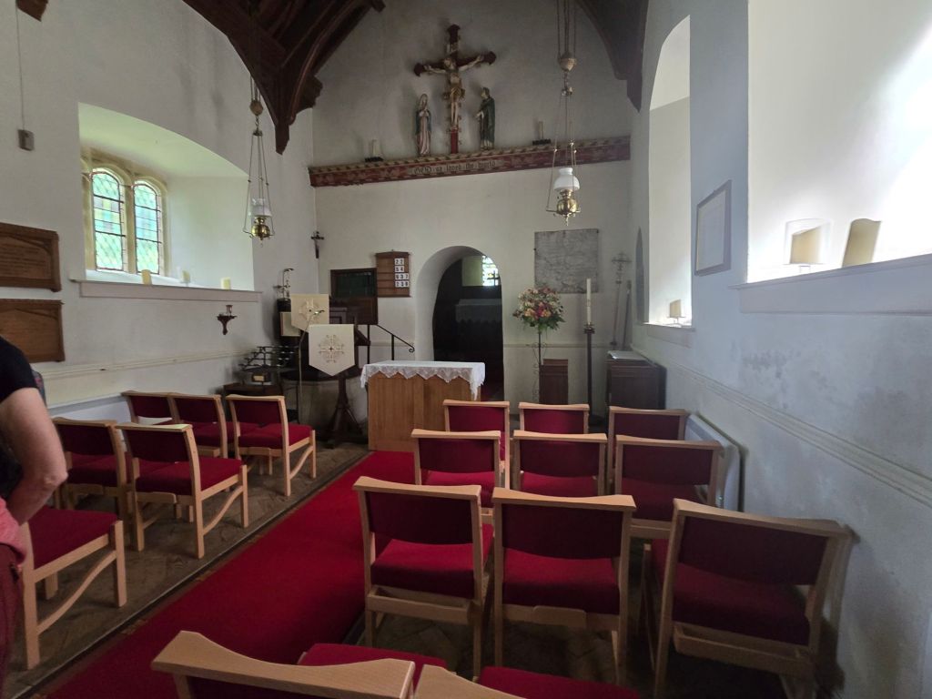
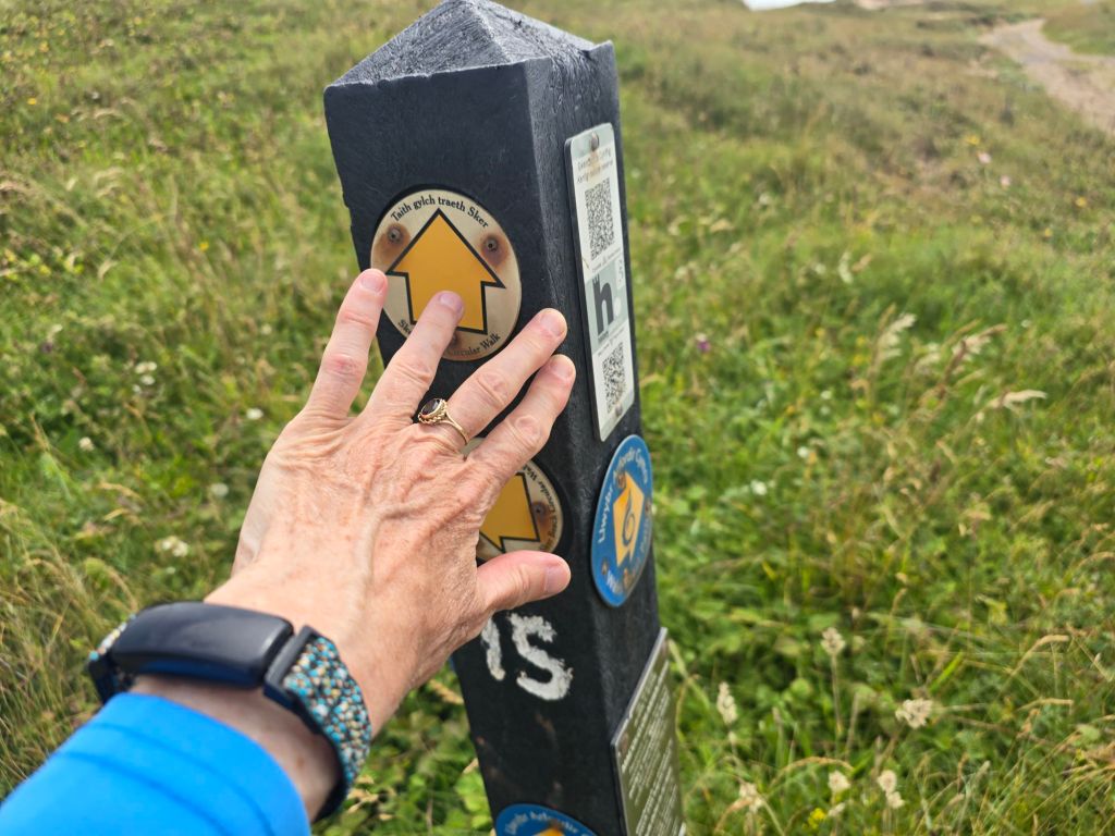
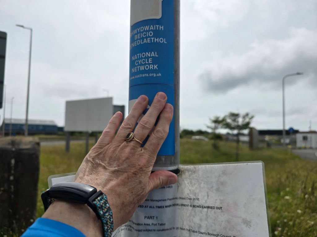
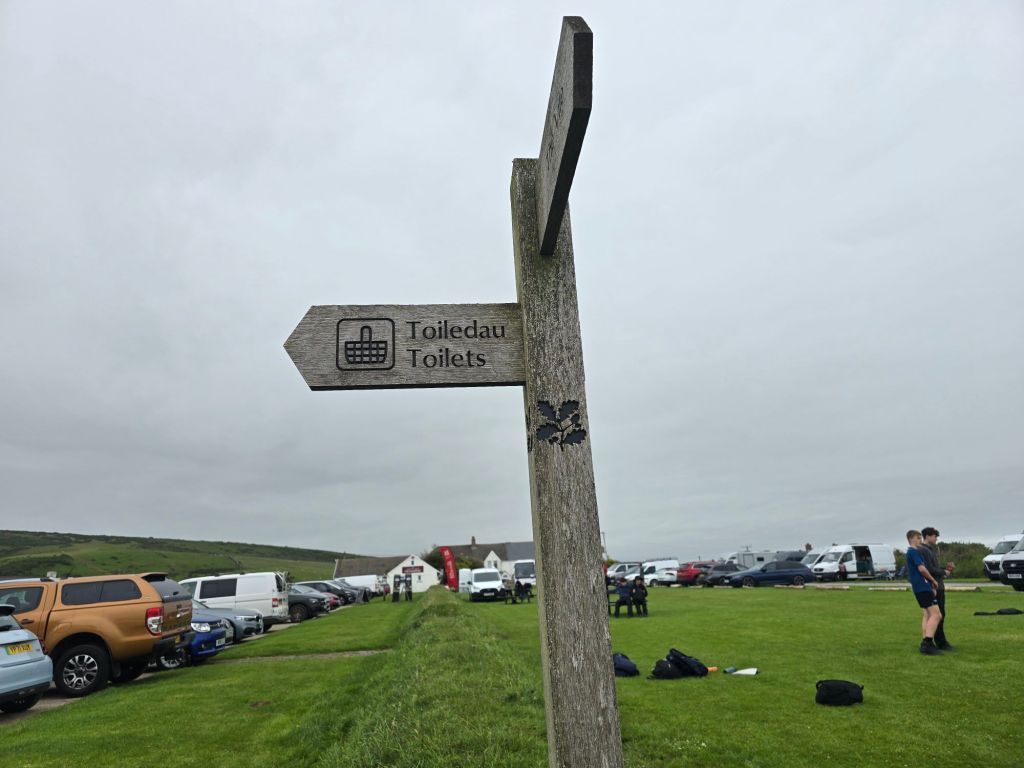
I had a leisurely start and started to prepare for the journey home, and then met an old friend for a long coffee and catch up session. It was very good to reconnect! Then the 30 minute drive to Rhossili. This turned out to be where I had visited on the Gower on placement back in 2003. The National Trust car park was busy and the clouds on the horizon were looking ominous. However I set off having established a touching point in the car park on the trail! This was about 12:30
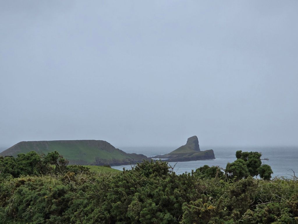
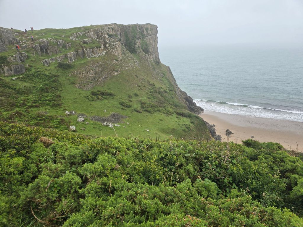
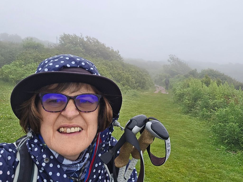
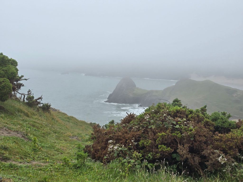
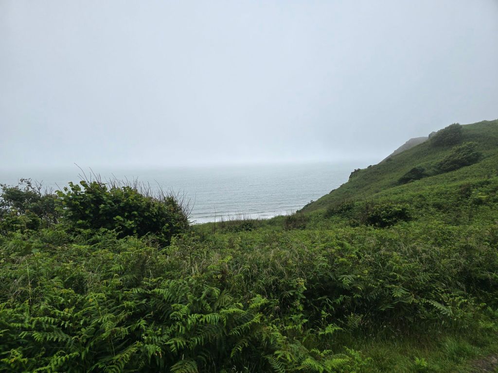
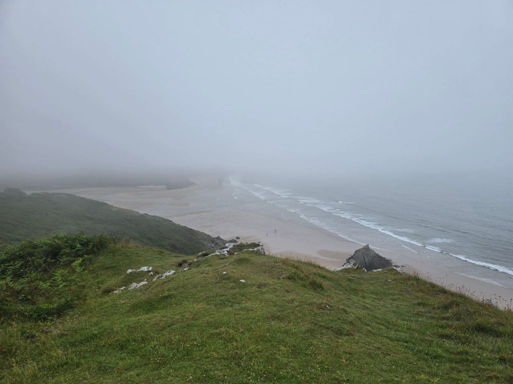
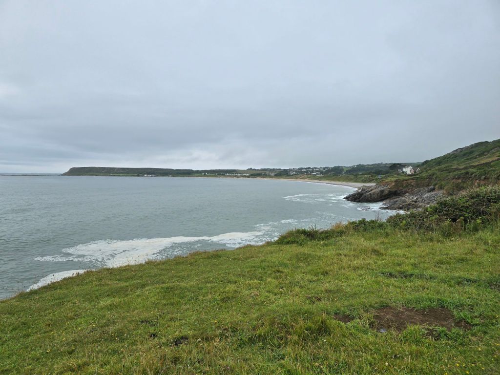
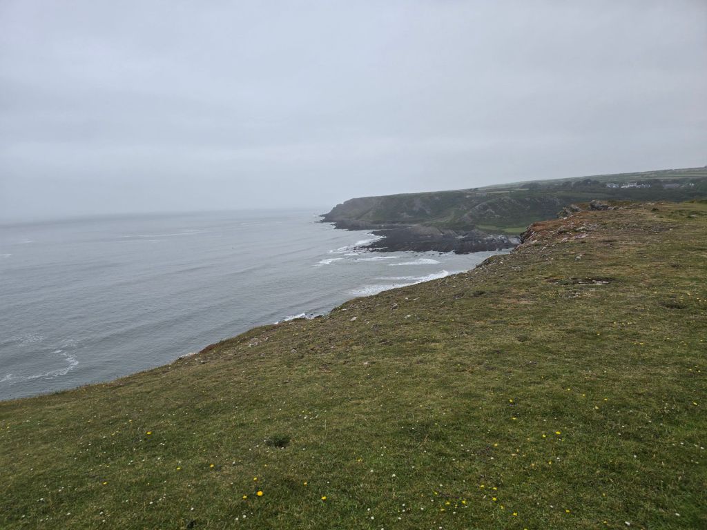
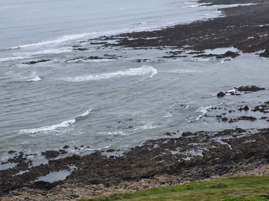
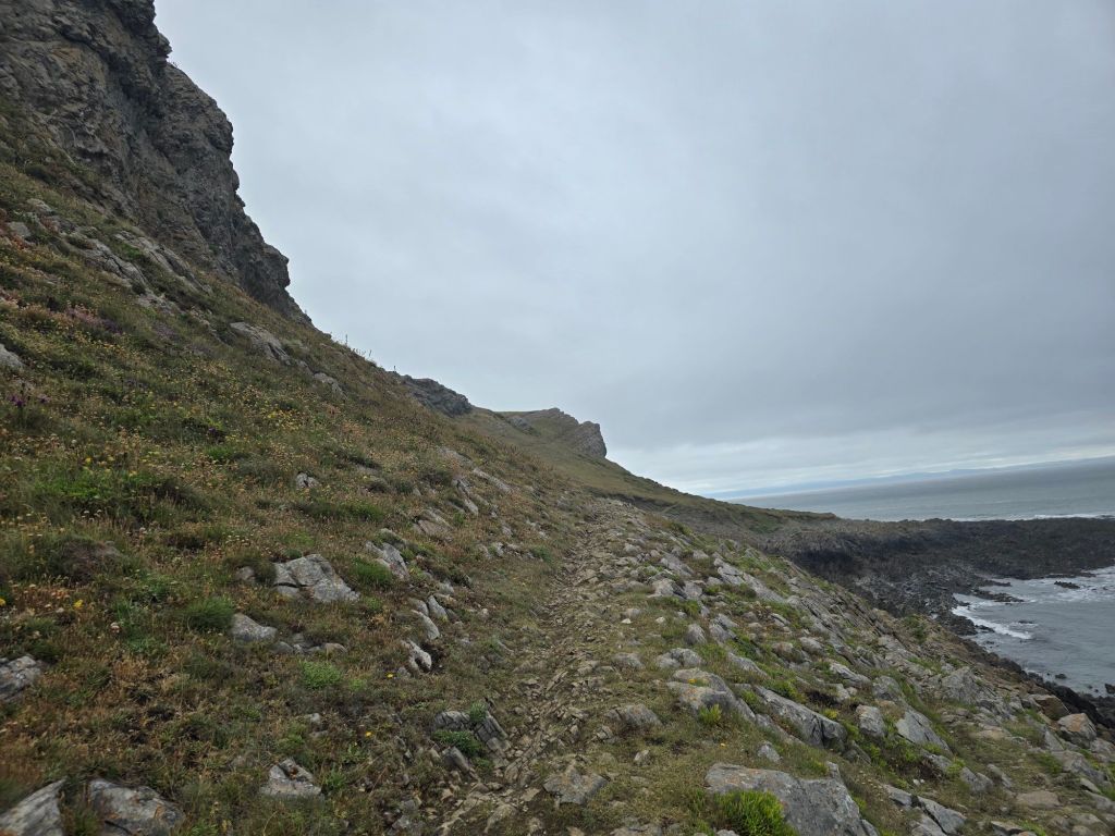
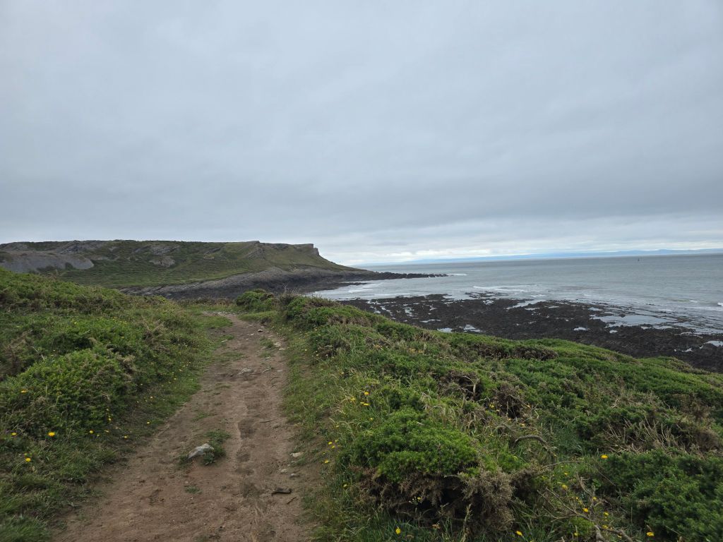
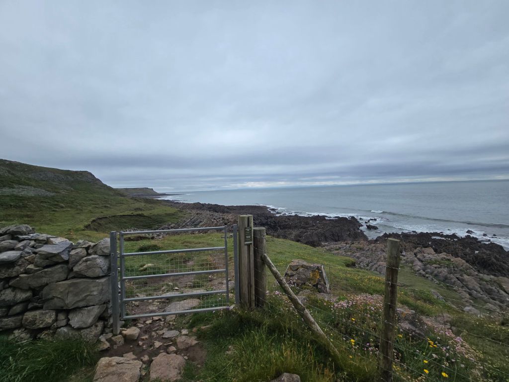
It was very busy for the first ½ a mile and a very easy path. I was a bit entangled with a school party and later saw the inevitable Duke of Edinburgh groups. It was a relief when I overtook the first lot – they were filling in a questionnaire as they went rather than me being speedy. After about 10 minutes it was drizzling so I put waterproofs on and hoped for the best. By the time I turned the corner on the headland looking over towards Worm’s head it was raining quite hard. I decided to carry on for a bit and see how it all went.
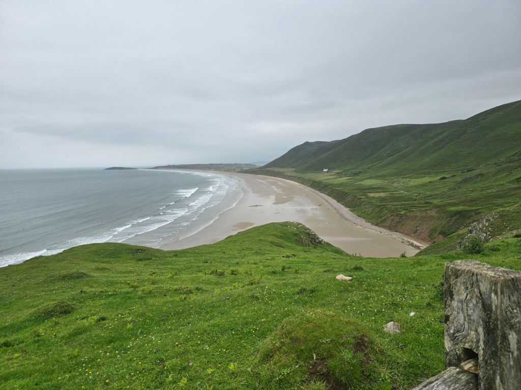
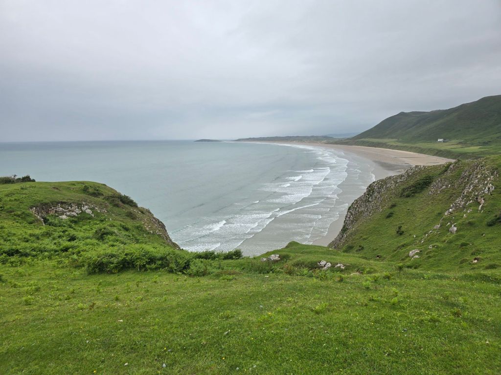
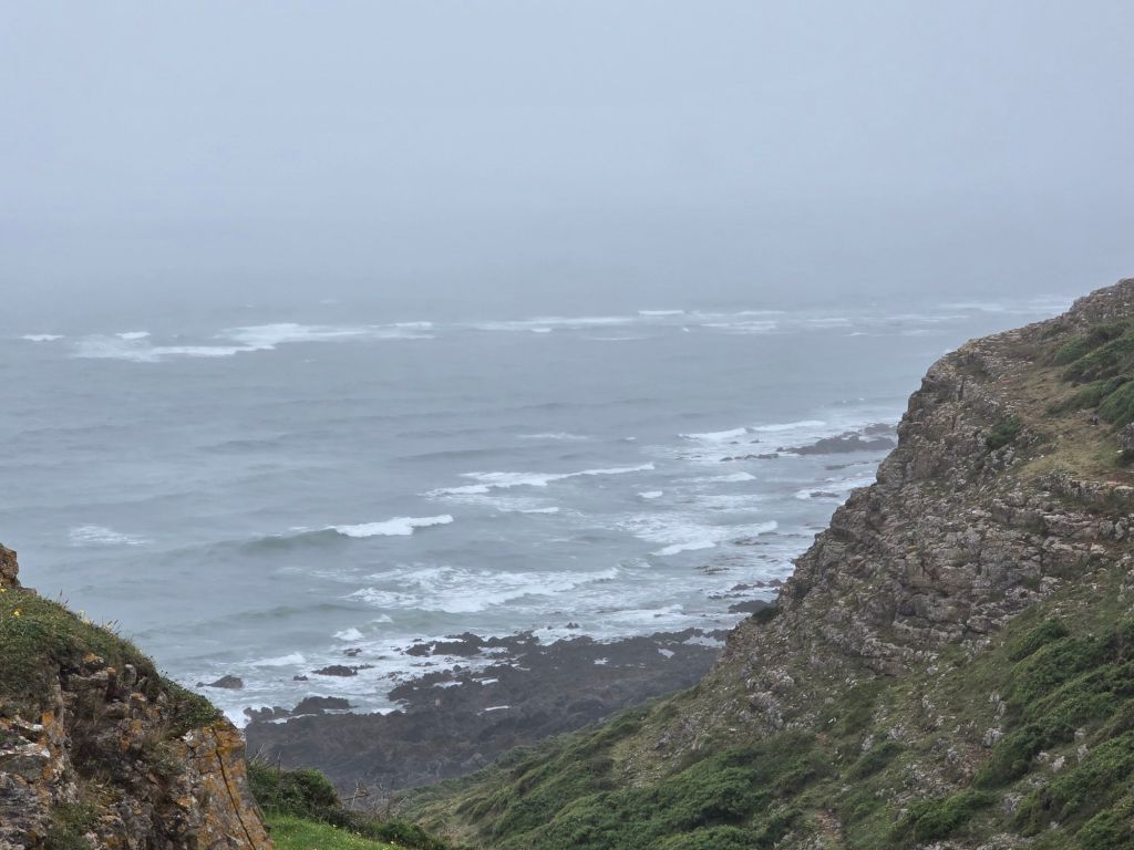
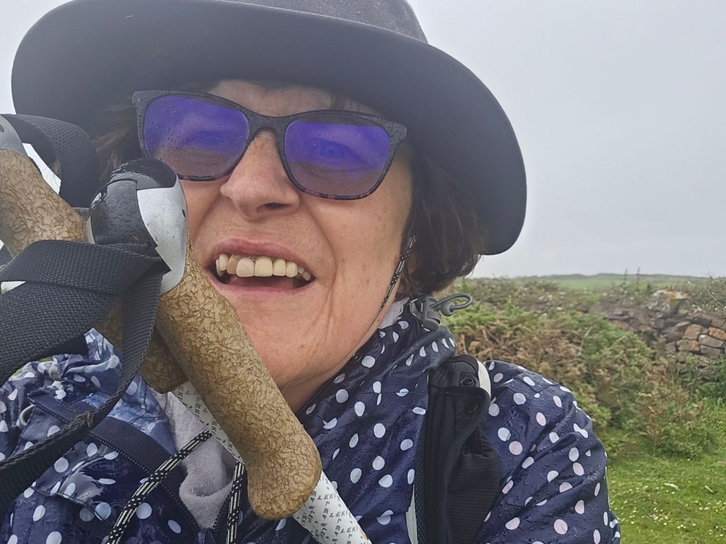
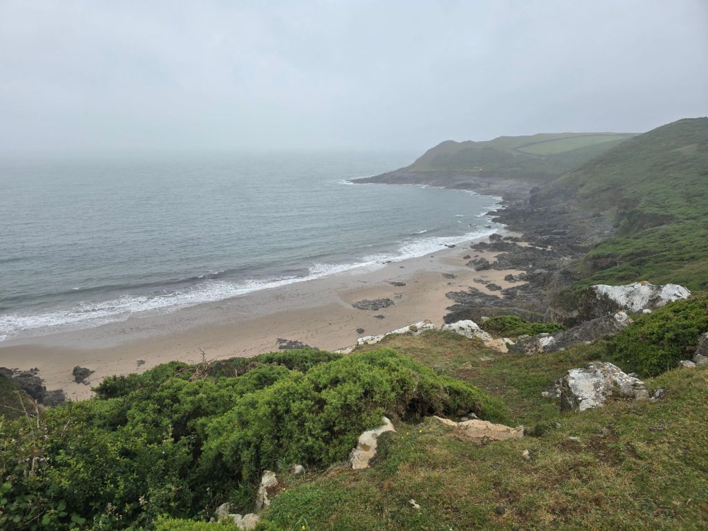
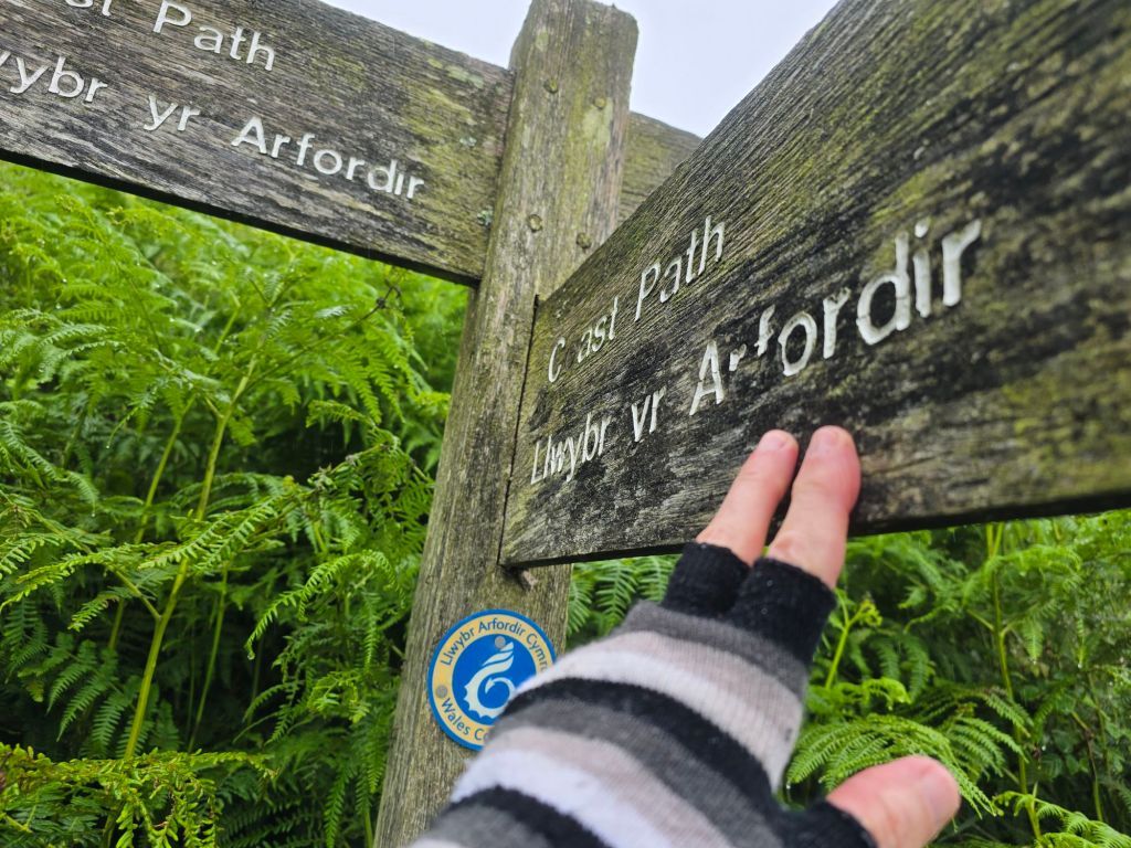
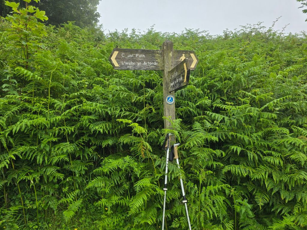
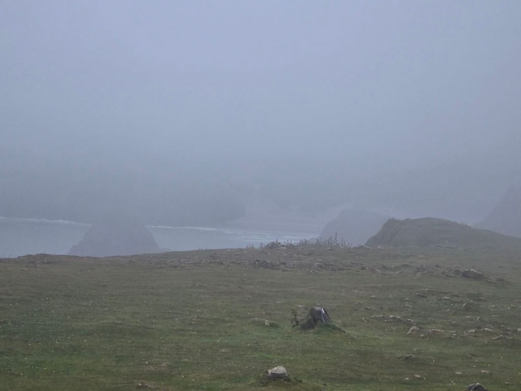
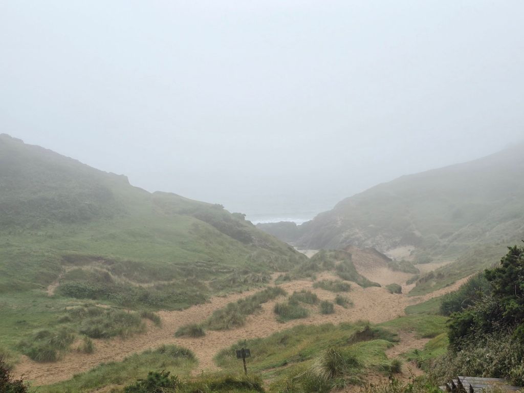
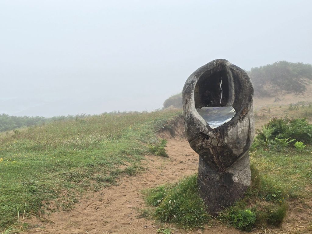
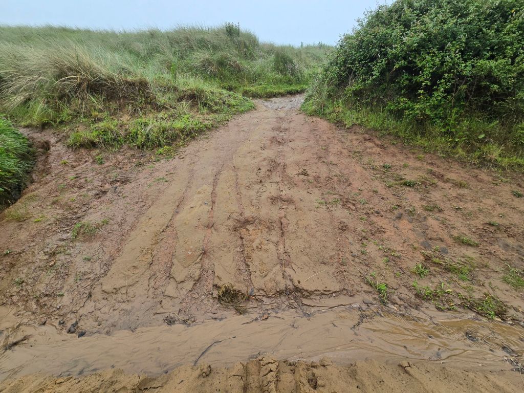
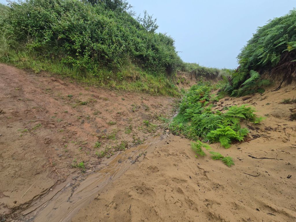
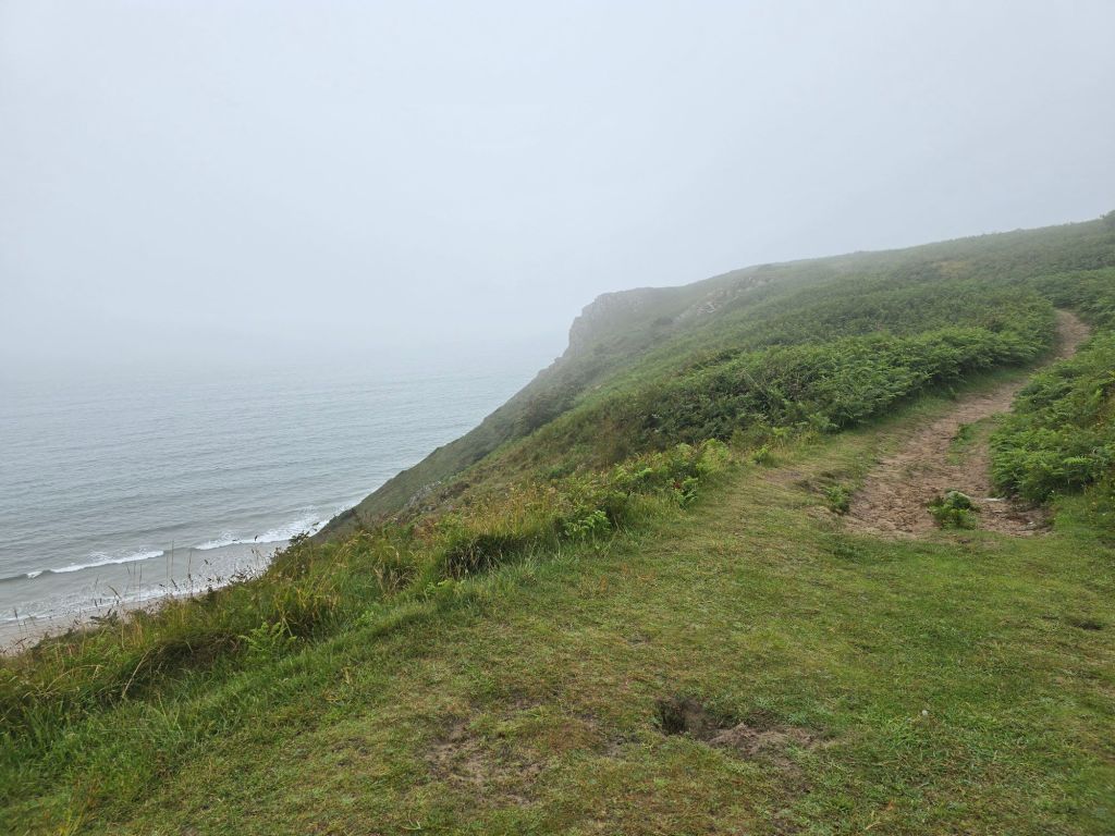
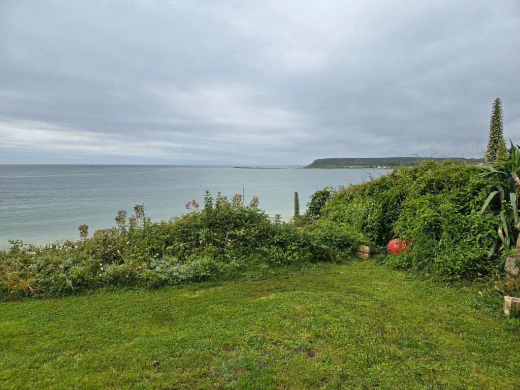
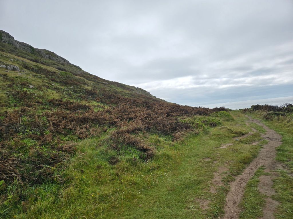
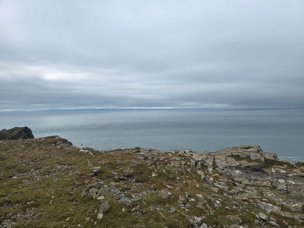
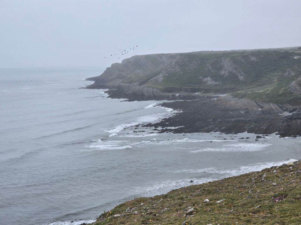
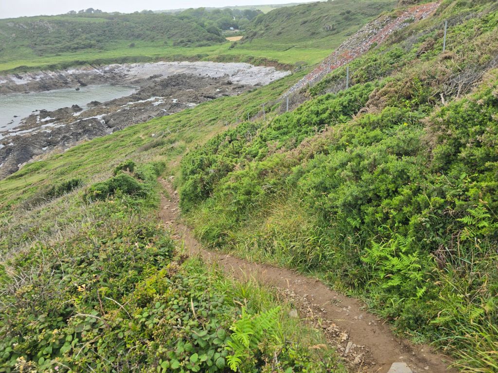
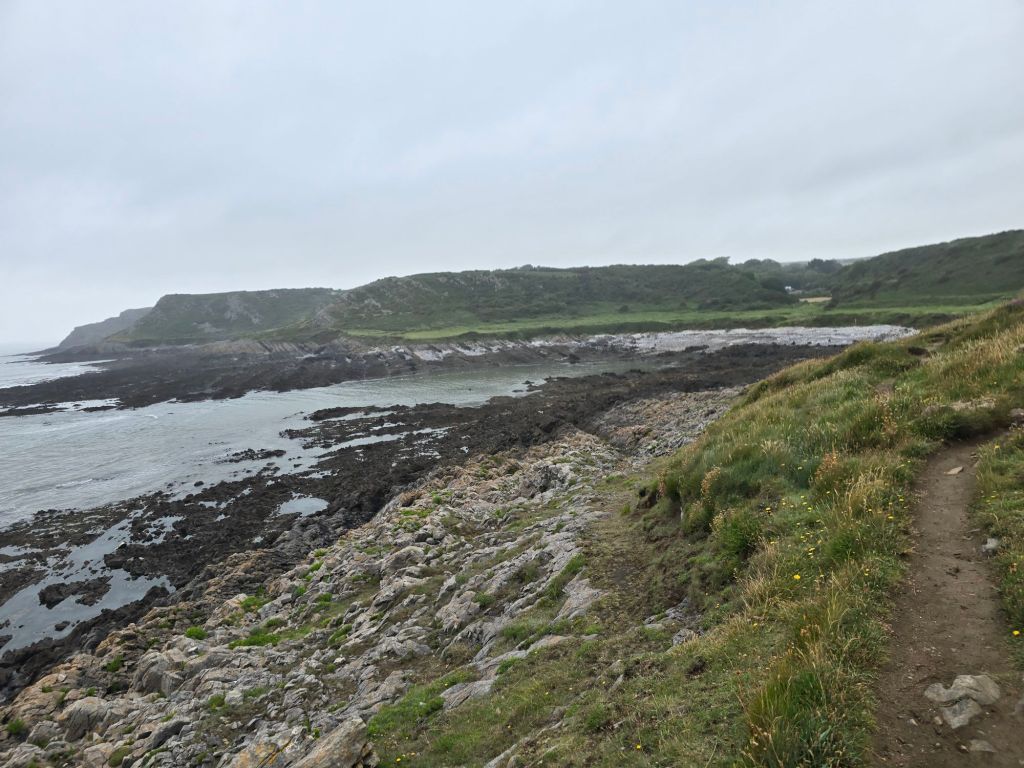
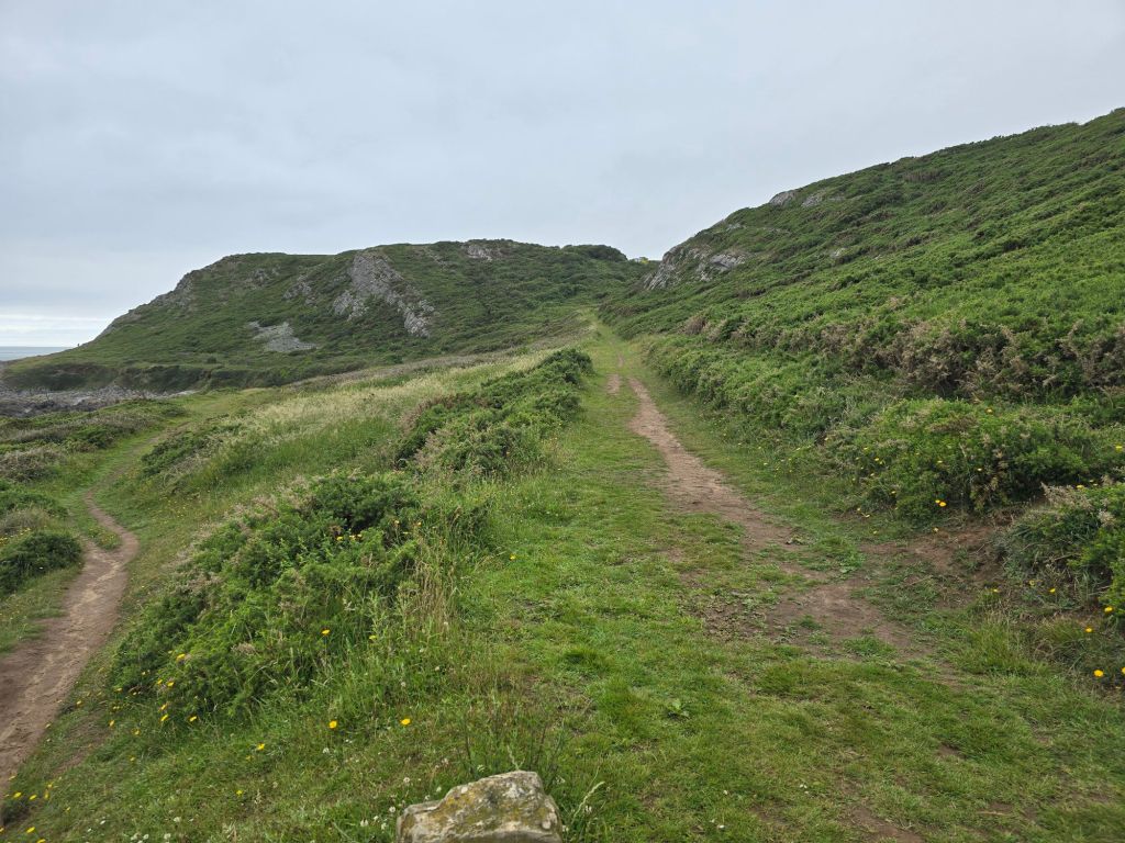
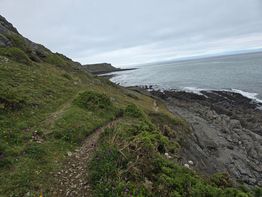
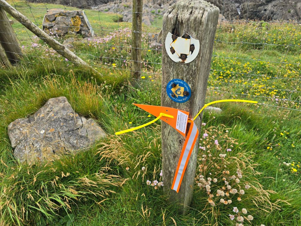
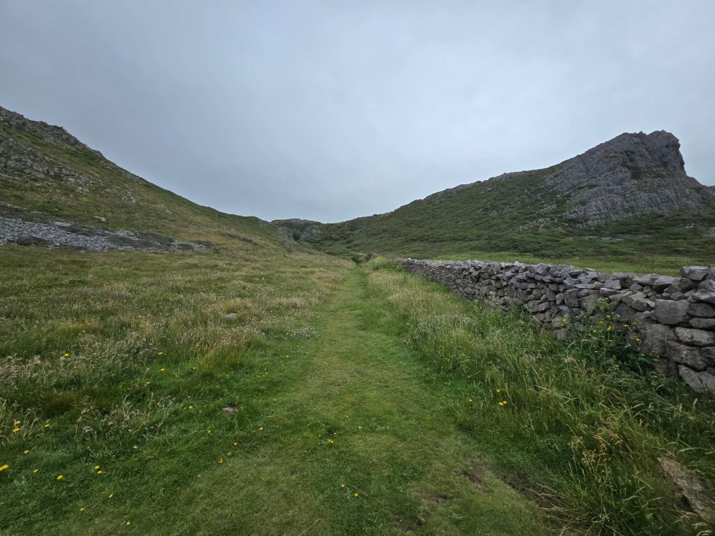
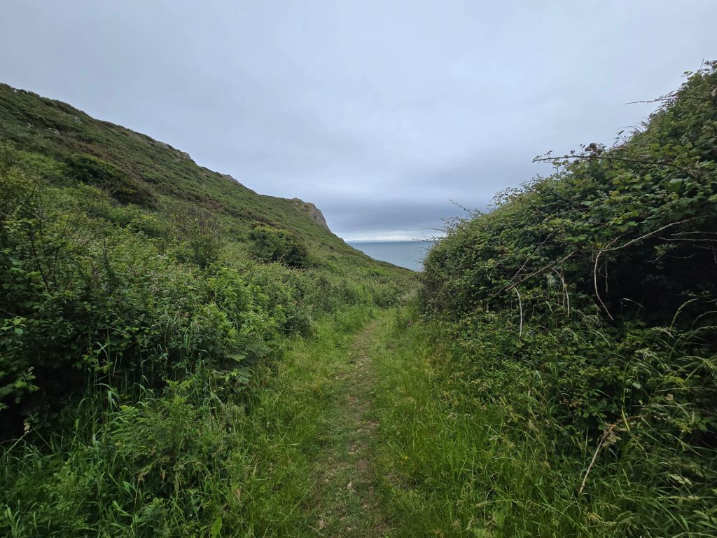
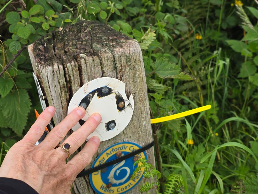
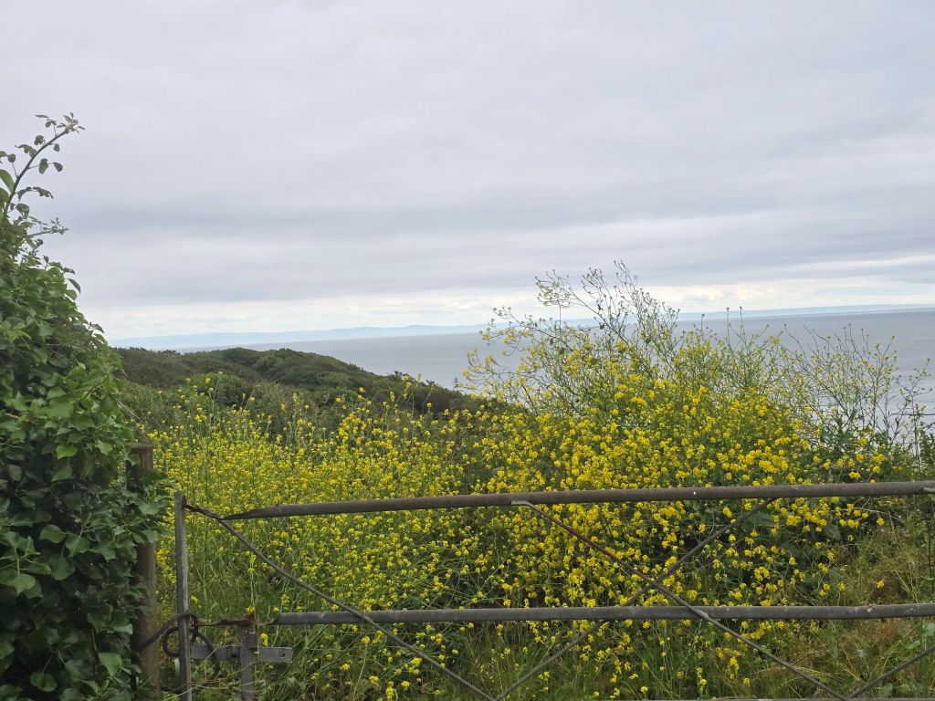
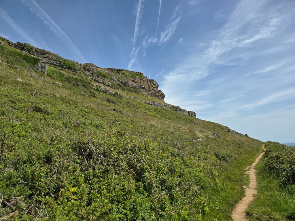
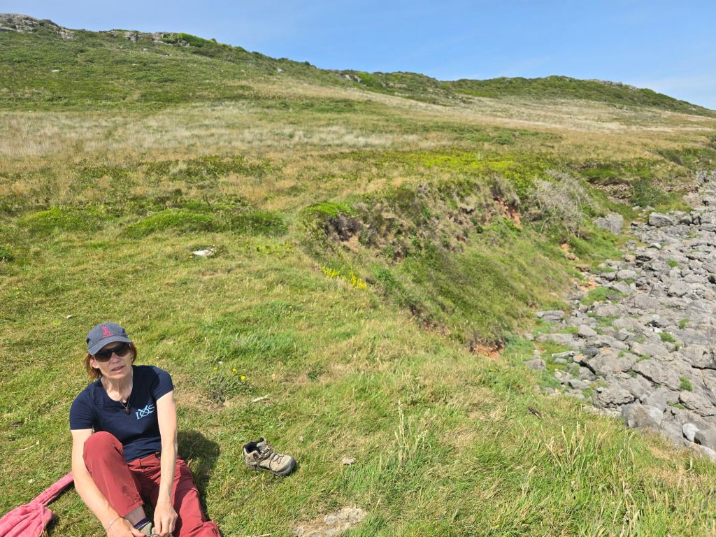
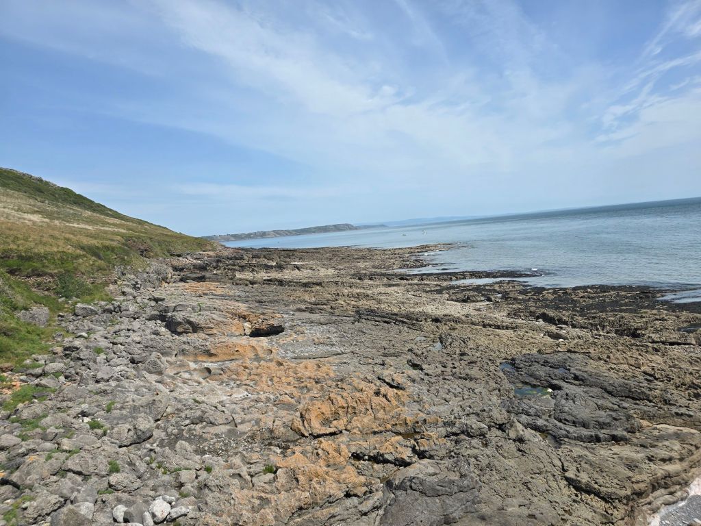
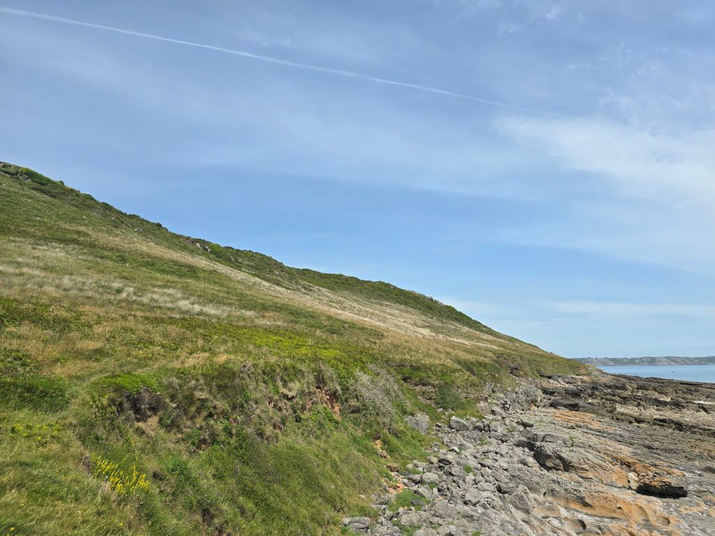
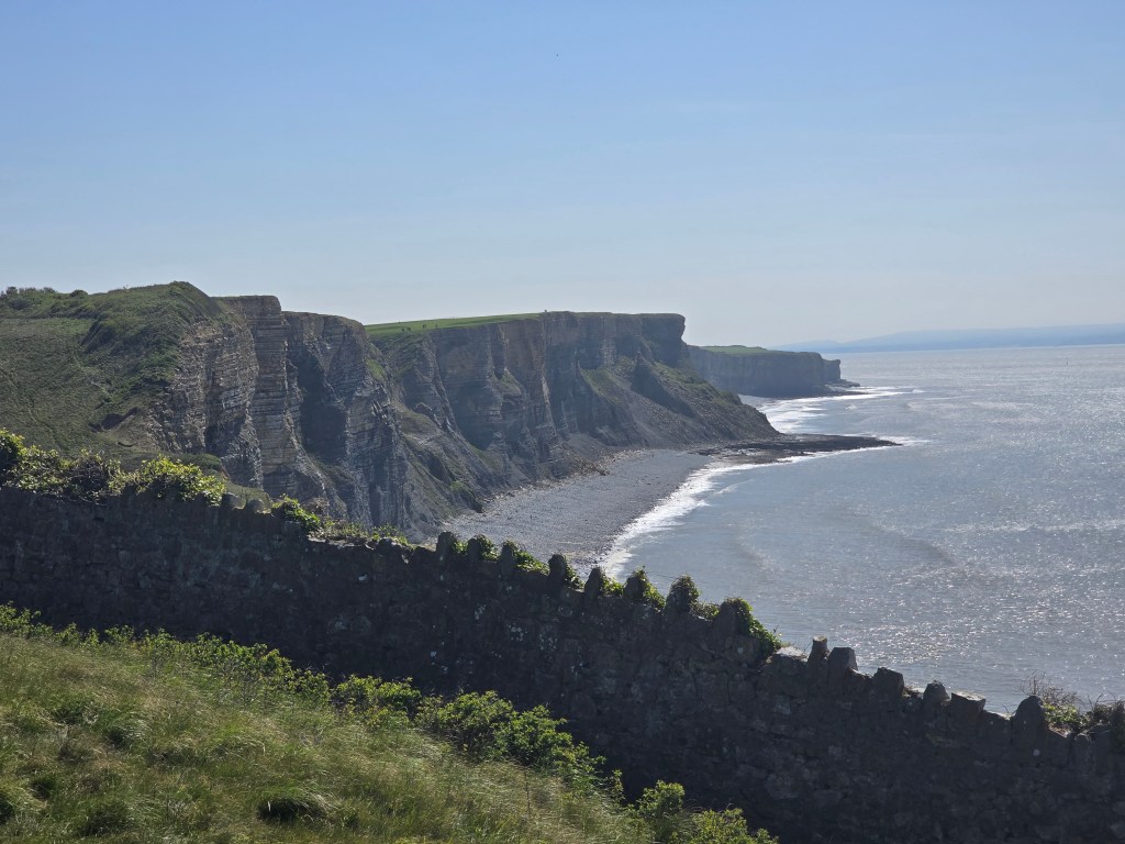
I worked my way around the headland and was being buffeted by strong wind as well as significant rain. I went on for a mile or so, and stopped to have some lunch and got wetter in the process. I was finding the going difficult as the reddy/brown soil and rocky surface was a slippery combination. I carried on to the first really sensible exit point behind Mewslade bay – set up another touching point and took a track back to the road in Middleton. This means in trail terms I have about a 3 mile gap of glorious cliff walking to do between Rhossili and Port Eynon based on what I did yesterday to join the gap! As I will be back later this year, I carefully marked up my map so I know which bit to do. However better to be safe and not sorry. So I did not continue in the difficult conditions.
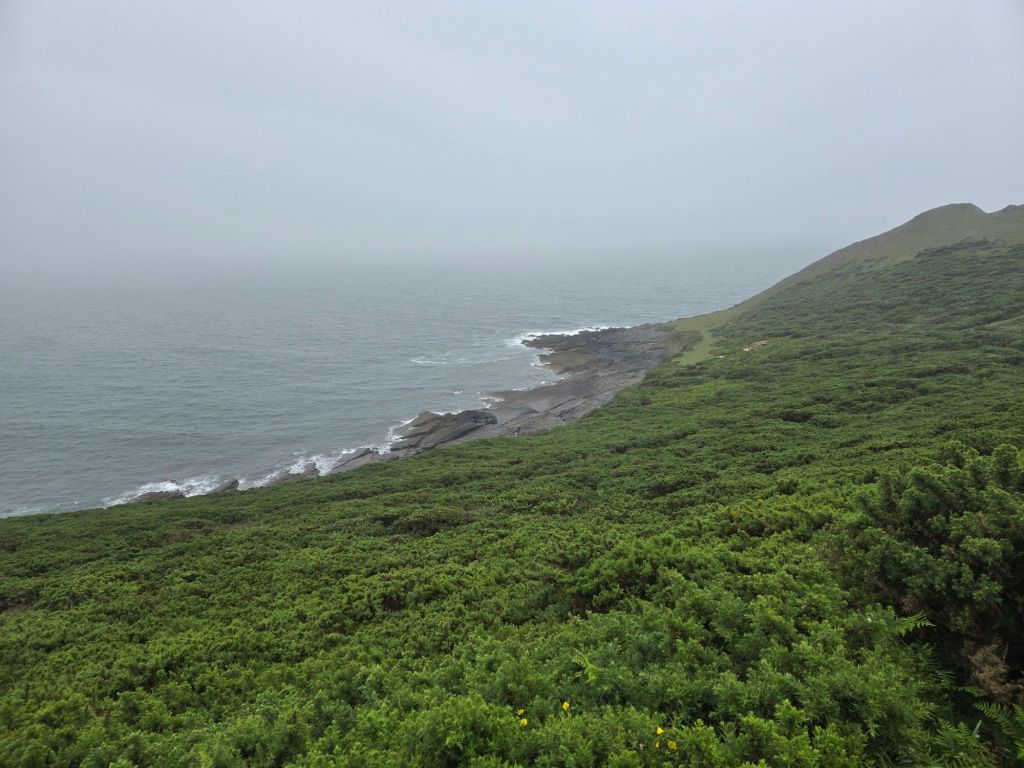
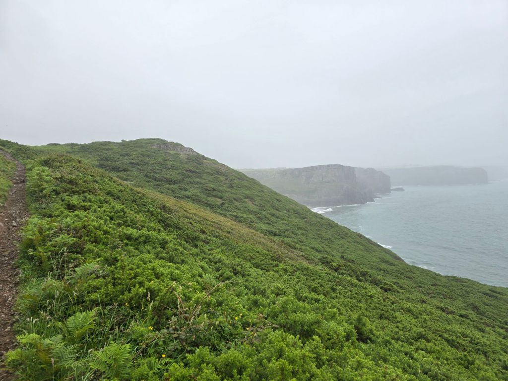
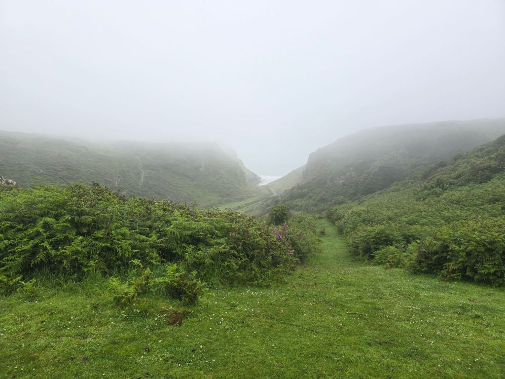
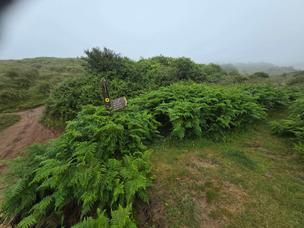
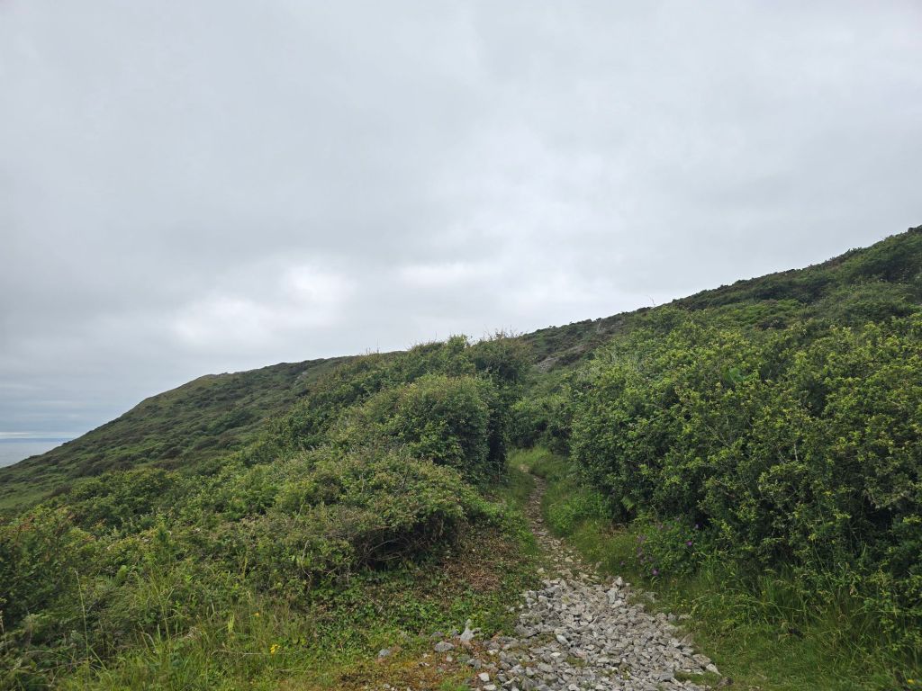
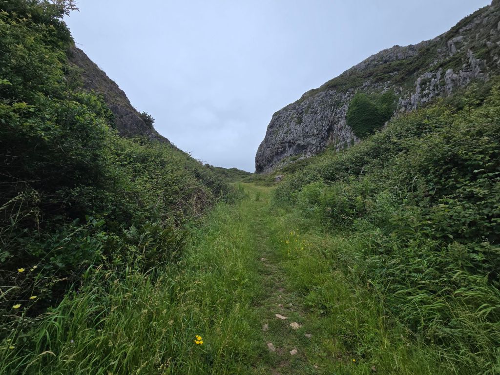
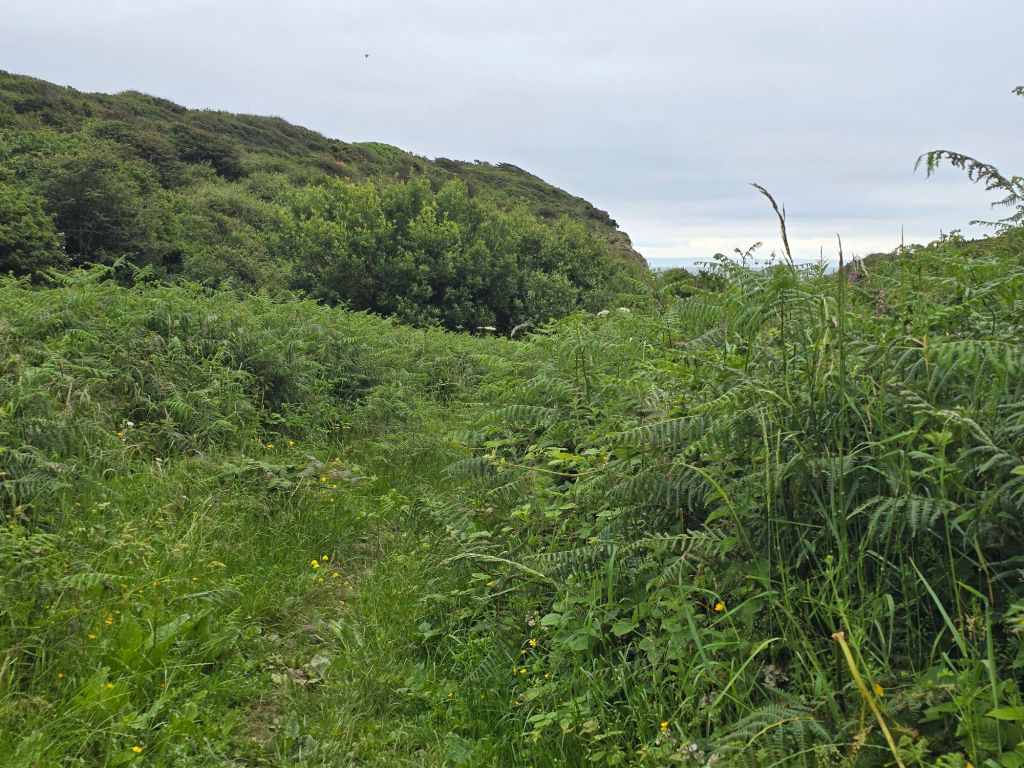
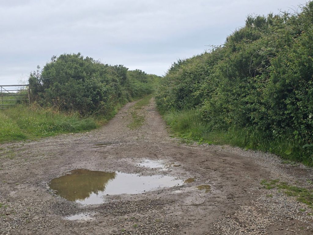
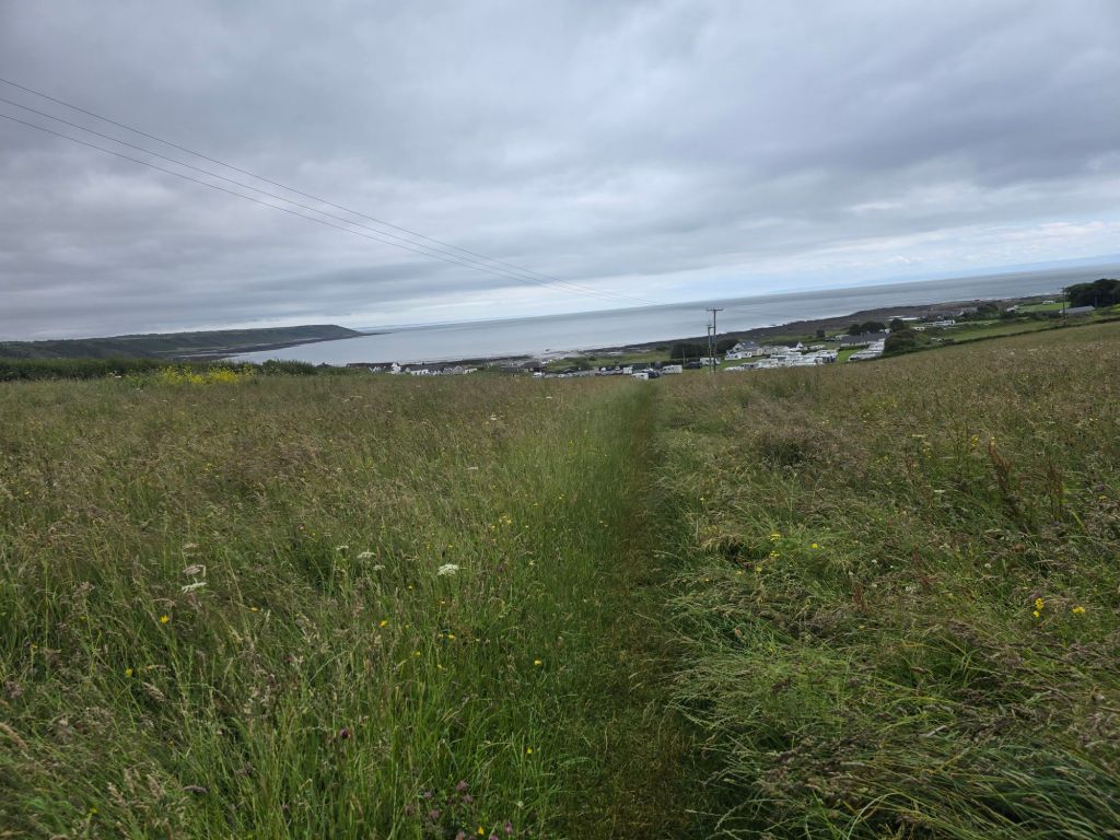
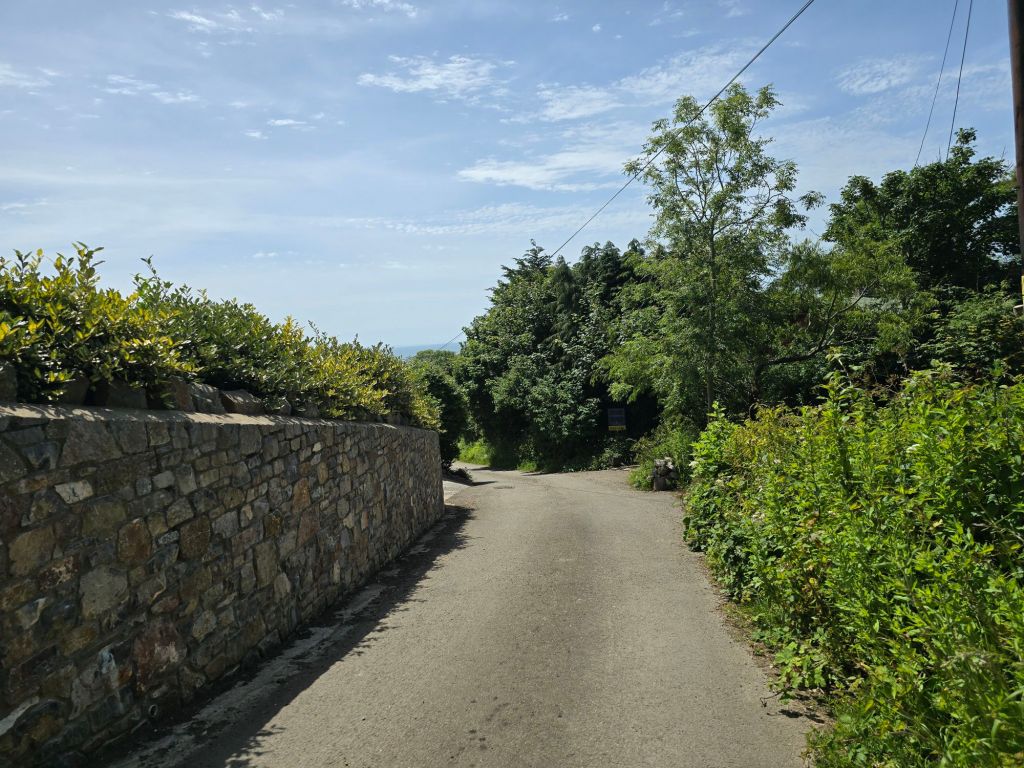
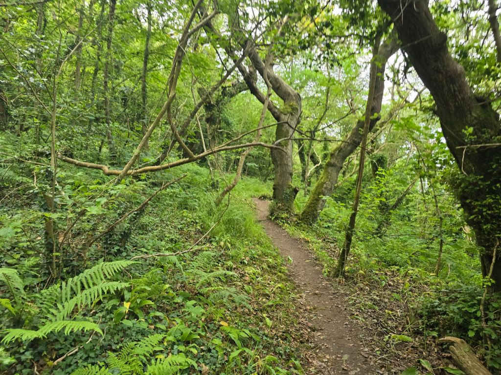
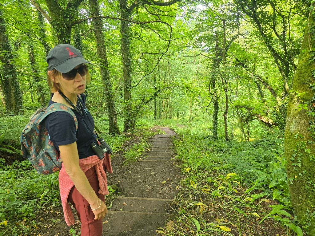
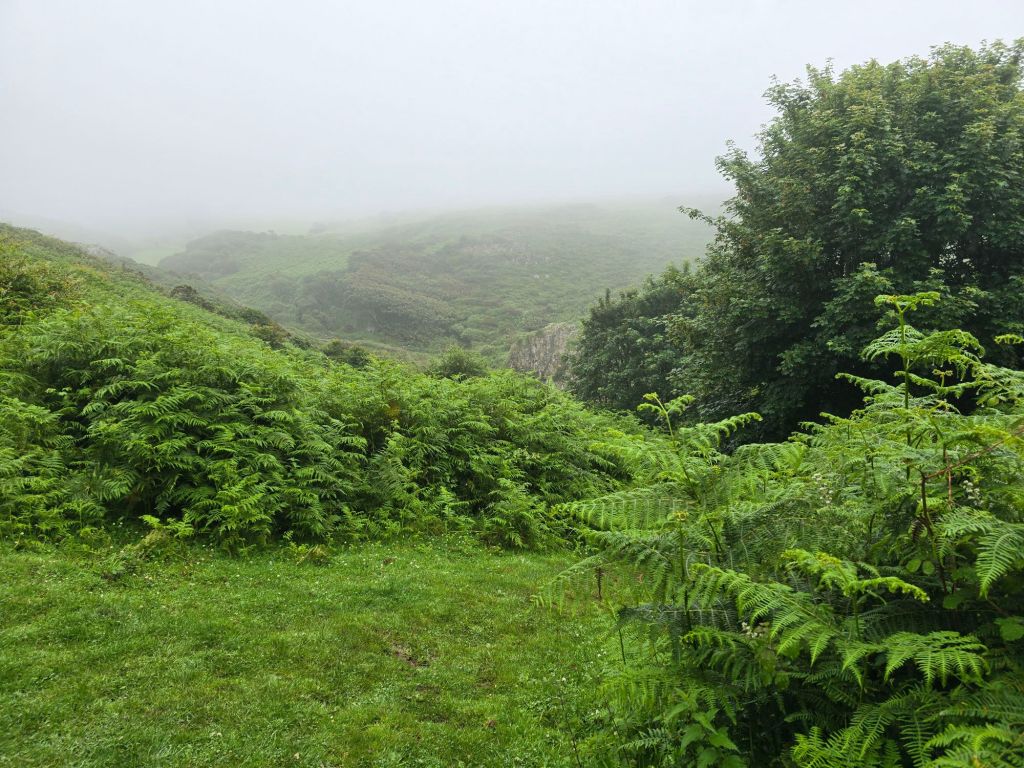
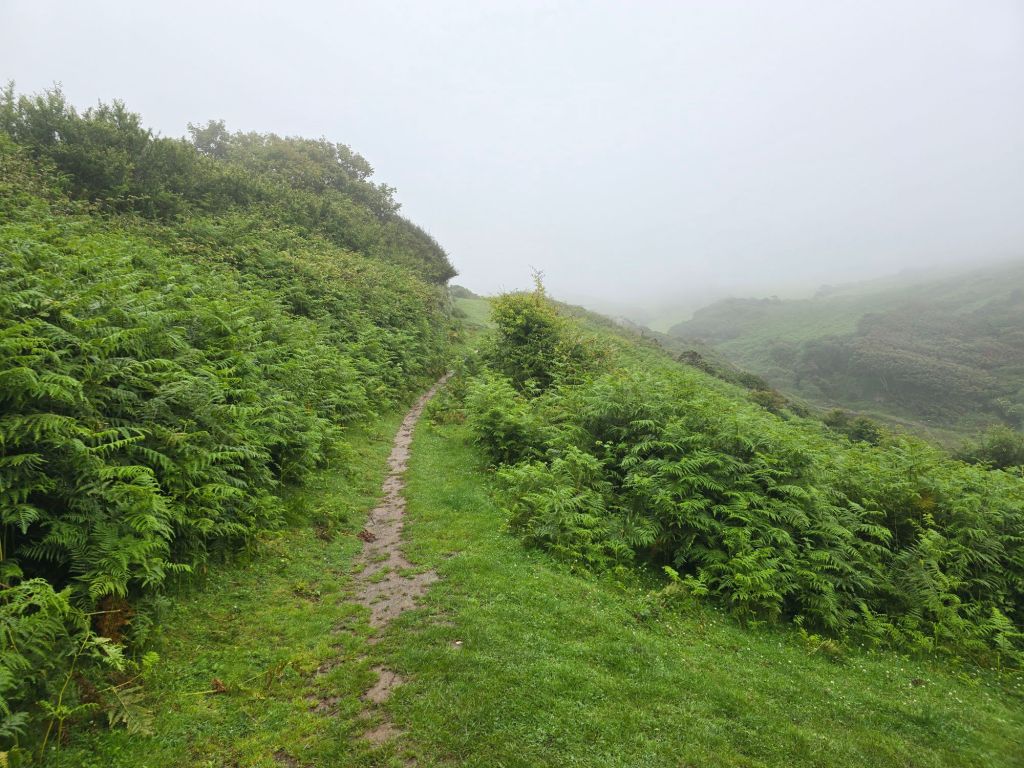
I used a path to reconnect with Rhossili from Middleton – like many this turned out to be very overgrown and as the overgrowth was now saturated I got even wetter!, and at one point could feel the rain running down my legs into my boots! When I got home I hung my boots outside on the washing line and they took 36 hours to completely dry out – despite it being rather warmer at home! Oops.
I got back to the car and deployed my beach towel to ensure I didn’t get the drivers seat too wet as I was absolutely soaked. Following the directives of the usefulness of the towel from the Hitchhikers guide to the Galaxy!

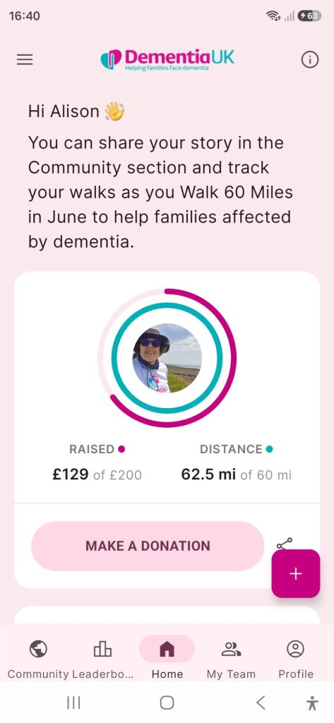
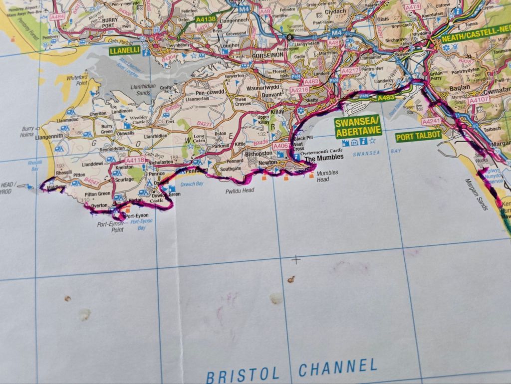
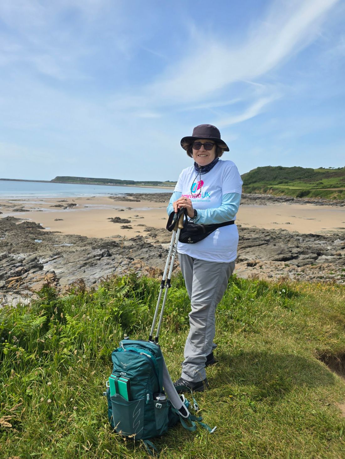
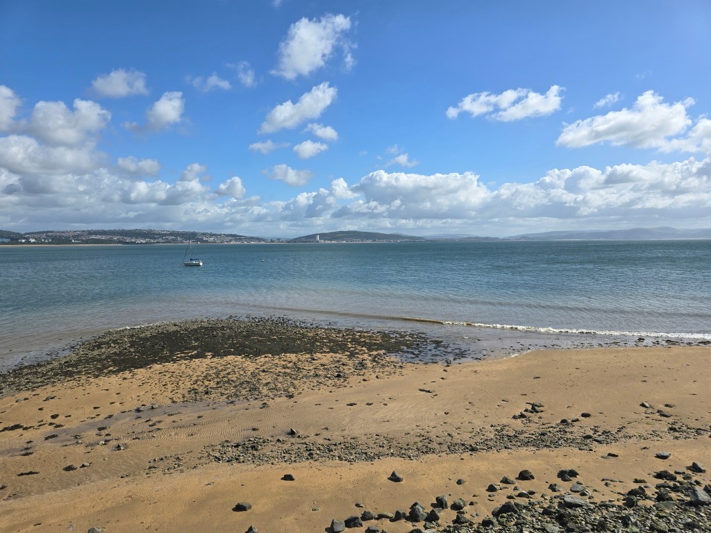
With the miles done this day, I have done another 52 miles  on the trail (and  24 miles off the trail) on this break. Again the very varied terrain on the south side of the Gower is quite challenging! Taking my running total on the trail to 596 miles! I have also been doing a walking challenge in June to do 60 miles for an Alzheimer’s charity (which includes some walking at Kew as well as on the coast path) – that total was also reached! The blue and pink dashed line shows where I have walked!
https://fundraise.dementiauk.org/fundraisers/alisonway

Still going!

Tuesday – Much needed rest day!

Wednesday 17th June

Steps on the trail 14643 –  Miles on the trail 6.3

Southgate to Oxwich Bay

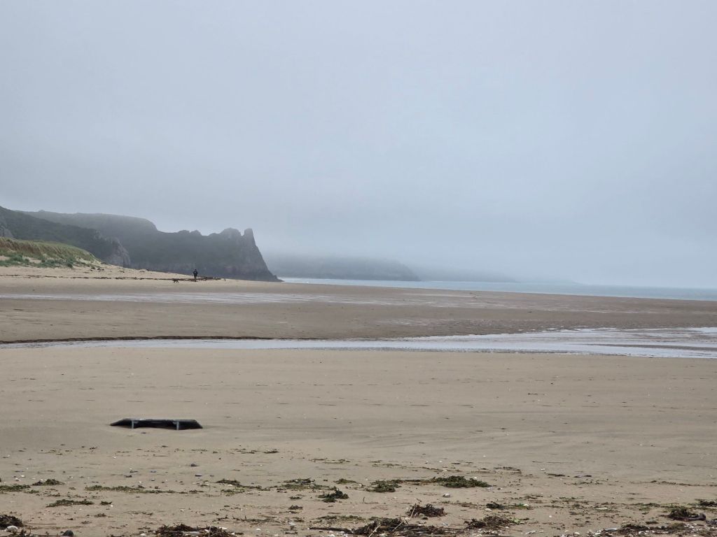
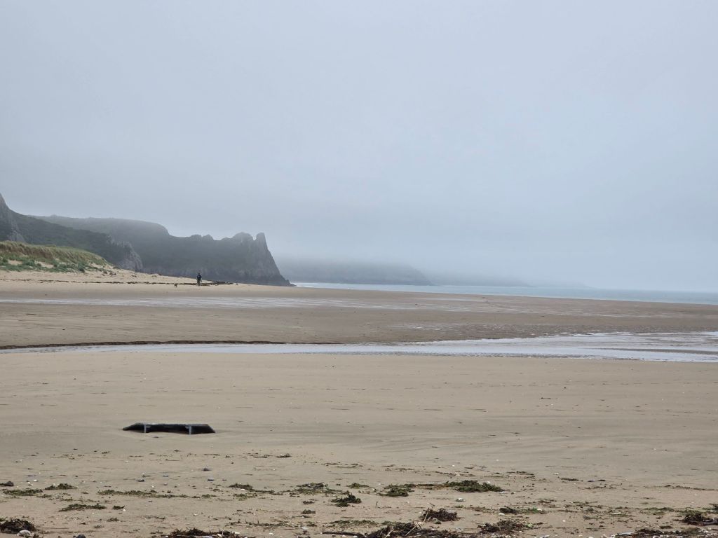
Drove to Southgate in the drizzle and low cloud and was a bit dubious about setting off! However I reconnected with the touching point/coast path sign and did set off. Thankfully the drizzle did stop within about 20 minutes, and I was accompanied by a selection of dog walkers in rather misty conditions obscuring the view. I was well wrapped up in waterproofs!

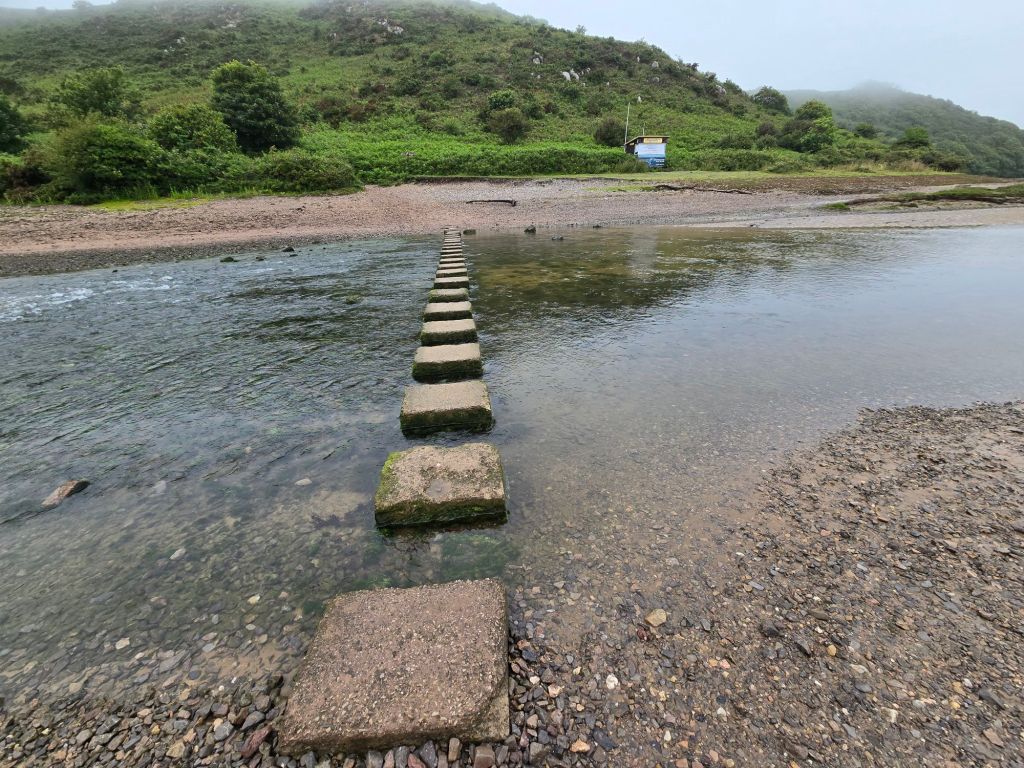
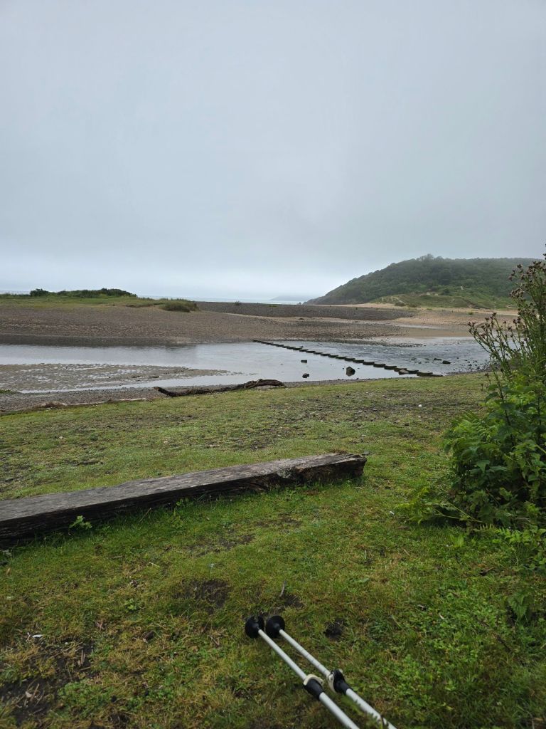
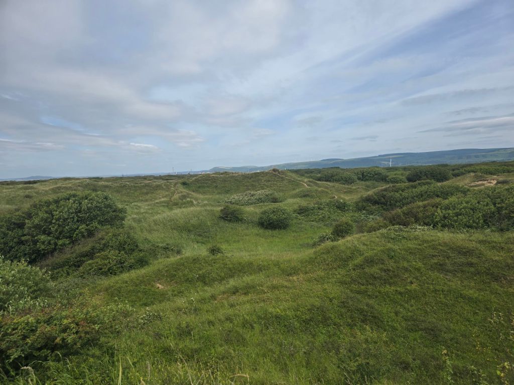
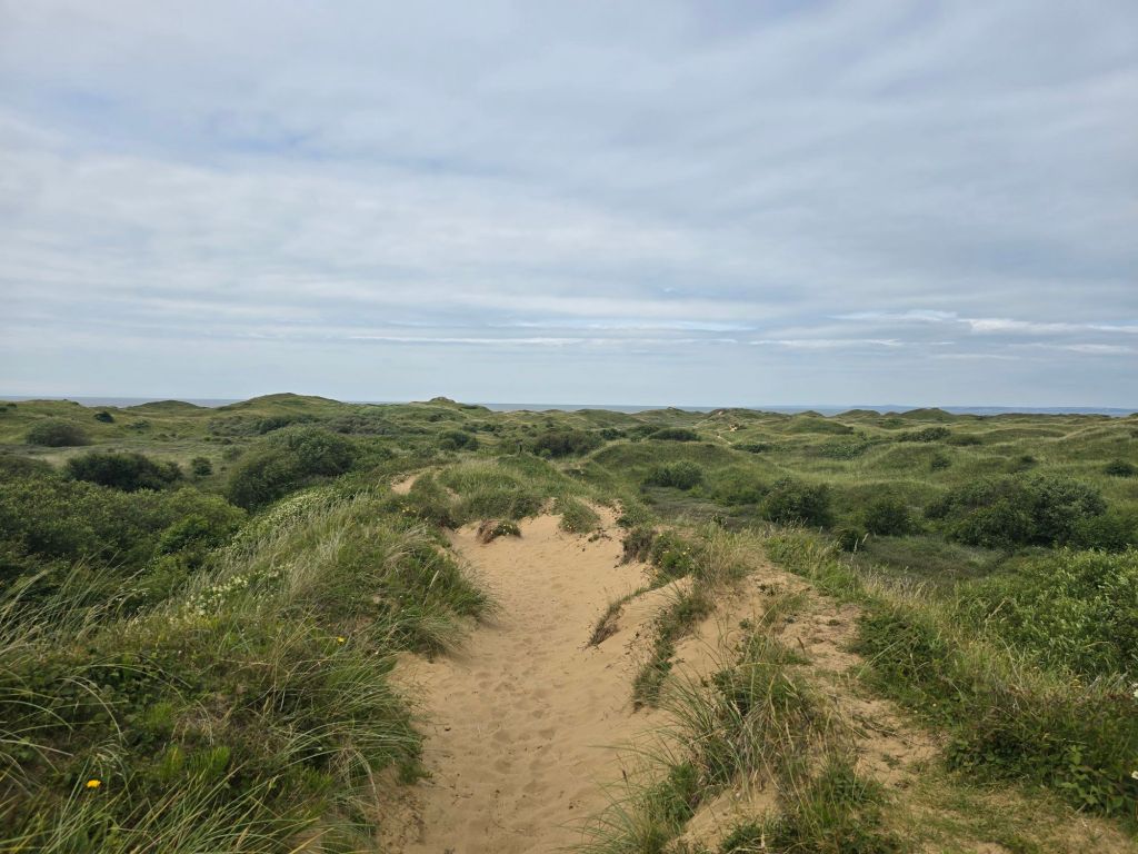
After about a mile the path became more sandy. I stopped for a drink just before this. The section in Pennard burrows began (sand dunes by another name!). Descent in sand was very welcome on a day when other forms of descent were more difficult and slippery. The path did several ups and downs, and it was tricky on the soft sand to get traction going up! The path took a cut inland and across a virtually empty stream. I managed to successfully navigate to the stepping stones across the Pennard Pill, and managed to cross these without mishap. On occasion they were spaced for someone with a longer stride than me. I stopped for a breather and a snack on the steps by the coastguard shack, and started to see more people and dogs at this point.

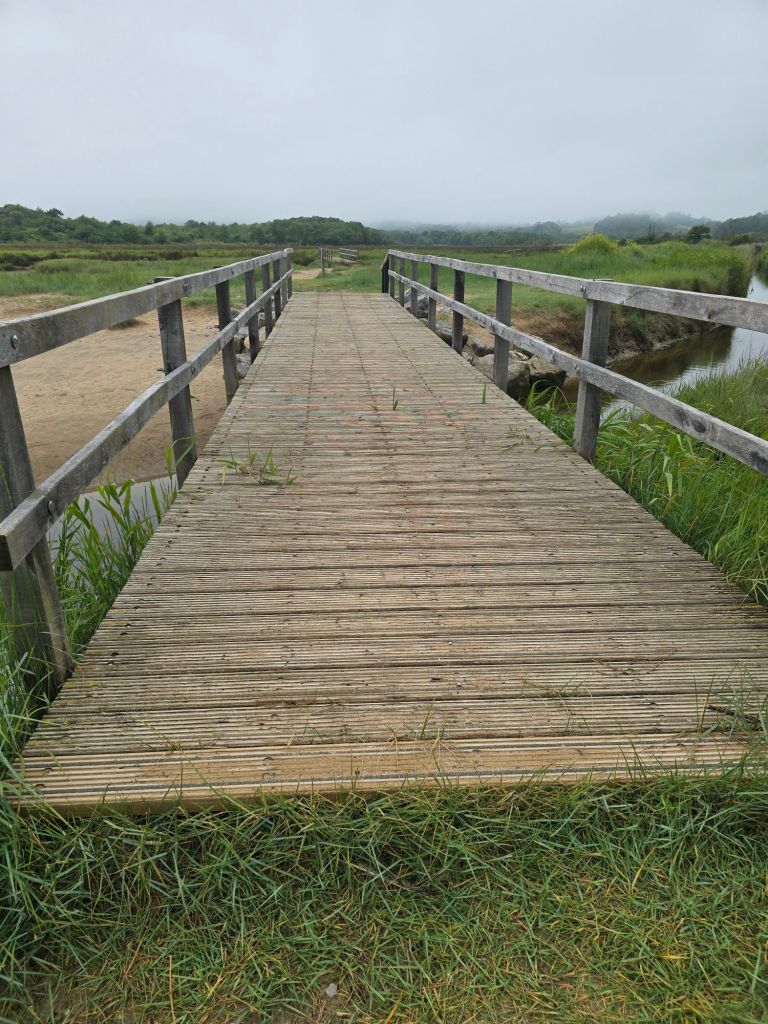
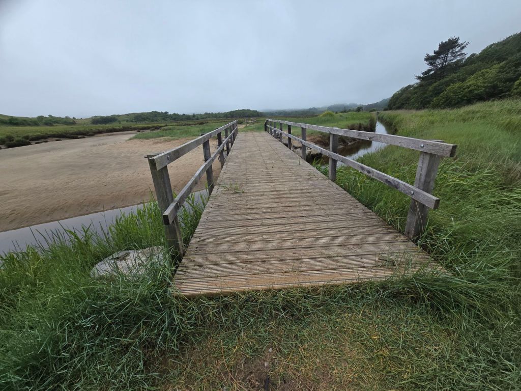
After a short section dropping in and out of the bay and woodland – densely wooded steep sandy ascent was required – which took a while, and up on to more substantial territory of Penmaen Burrows. There were intermittent fine views over the beach and some sections in very dense woodland. It eventually wound down to sea level and the more sandy terrain of Nicholaston Burrows. The guide book had been a bit iffy about the existence of the footbridge over the pill, but in fact 2 substantial footbridges enabled me to cross readily. I rather wished I had decamped to the beach sooner (as I think I could have crossed the streams on the beach without getting too wet!).

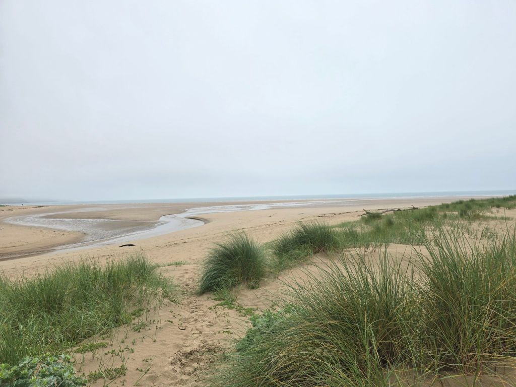
I walked back to the beach, and settled down on a log to eat my lunch. Once I had satisfied my hunger I did the final mile and a half on the wide sandy expanse of Oxwich beach – going into the wind but it wasn’t too bad (and not as strong as it had been earlier in the trip. The café we had used on Sunday was shut but I did use the toilets. I walked out through the car park via my touching point, and frequented the shops near the road, before finding the bus stop – I ate a bit more sitting on a bench in the bus shelter . I got a small adventure bus (117  I think) to connect with the No 14 by stopping at 2 different bus stops by St Mary’s church in Pennard. I had to have a discussion with the first driver about which church, the app said one set of names and display in the bus said another!

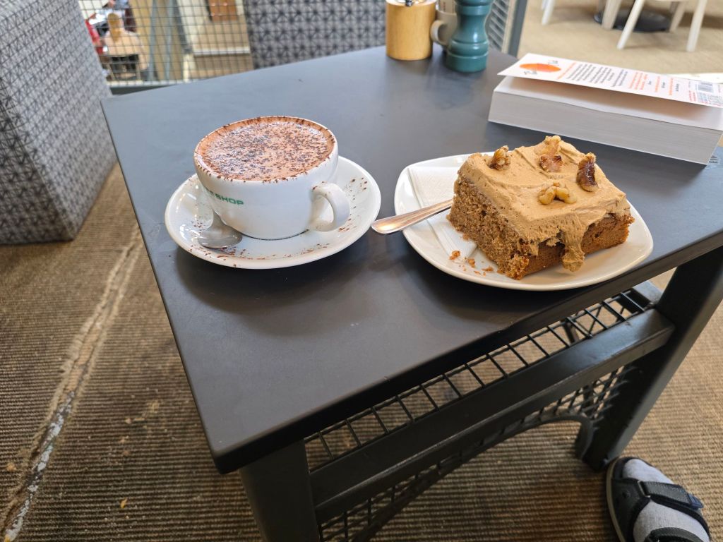
I had a very nice hot chocolate and coffee and walnut cake in the three cliffs café before setting off home. The whole experience was very atmospheric with the cloud and mistiness. I know I couldn’t fully see the views etc, but it was still glorious

Thursday 18th June

Circular walk from Port Eynon

Steps on the trail 9354  (7703 off) –  Miles on the trail 4 (3.31 off!)

I drove to Port Eynon, and set off to reach the point Athene and I had joined the coast path on Sunday – about 2 miles from Port Eynon to join the dots. I got close to where we had come out – and the ploughed field and didn’t do the very overgrown path. I reached for the touching point about 50 yards away! I had discovered that the ordnance survey map app does show symbols for when things are overgrown! I met several people on the path, including 2 Americans from South Carolina. I stopped for a breather on a log on the beach at Horton.

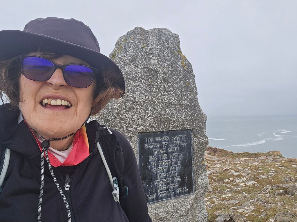
I walked across the bay initially on a stony beach which became more sandy. There was a flock of small wading birds which I was about to take a picture of when one of the many dogs scared them off! I climbed off the far end of the beach into an enclosed path, which climbed up towards the headland. The path was very stony and slippery and I was glad I was ascending it rather than coming down. It was a stiff climb up to the Port Eynon point. I stopped at the memorial for a second break, and ended up taking  photos of the inevitable Duke of Edinburgh expedition group of girls who arrived as I was leaving. I also explained the whereabouts of the Culverhole to another walker! There was a short section on the headland -before a very steep, and rocky descent on the far side, which I did slowly and carefully (vowing not to go back the same way!)

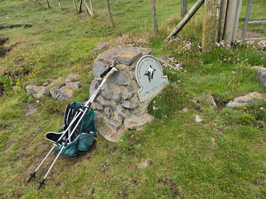
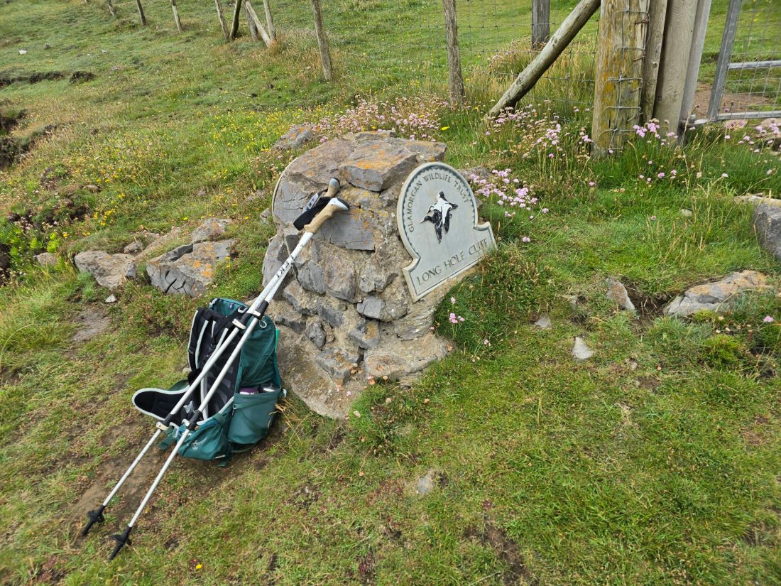
The next section was very dramatic lower around Overton Mere, and getting edgy and higher around Overton cliff. I met a German couple I had seen earlier in the week, and we had a chat about the joys of the coast path. I got to where I was going to cut inland with the path, and stopped for lunch perching on a sign for Long Hole Cliff. I had several conversations at this point, with a man laying the trail for a horrendous sounding run/swim event on Saturday, and another walker staying locally to there.

The path cut up through the cliffs, and I set up a touching point, and then headed back to Port Eynon. First on a track and then through the village of Overton. I cut down on a path just before the main road, through fields, down to the car park where the car was. I went to find a café, and saw an adventure bus with yesterday’s driver who gave me a wave! 

I did not achieve so many miles on the trail, but will hopefully connect to Rhossli tomorrow.

Company and near calamity!

Sunday 14th June

Steps on the trail  12062 –  Miles on the trail 5.22

Circuit from Oxwich Bay

Leisurely start as I was meeting Athene for today’s walk at 11am at the Oxwich Bay car park. I got there first,  and sat in my beach folding chair trying to look conspicuous! It worked and Athene soon arrived. I had decided it was best to do a circular walk that day, as buses on Sunday are not so frequent or not running, and it was difficult to predict how far along the coast we might get.

We had a coffee at the beach café and started to catch up! It was a lovely temperature and sunny as we set off and did the inland leg first, climbing steeply up a road at the back of the beach through Oxwich Green and on to Slade (Happy 80th birthday to Noddy Holder!). We turned off down a track which turned into a very overgrown final section – which was almost impassable before joining the coast path and i made a touching point. The next section was fairly easy going, and we stopped for a coffee stop as soon as we could and admired the beach and general scenery. There was a high cliff above us, and this area was especially renown for Gower specific birds.

We made good progress toward Oxwich point, with the path getting a little more challenging as we went. We scrambled down a slope to a good vantage point for lunch (that a family were just vacating and  when we left another 3 people arrived to take it over). Climbing back up to the path was easier than coming down it. We soon wound round the headland and the scenery changed to dense woodland.

The path started to undulate more, and when we were quite close to the beach, there was a stepped ascent – which went on and on! Taking us eventually back right up on to the headland, before descending with similar steps down to St Illtyd’s church. We diverted back inside and it was clearly well used!
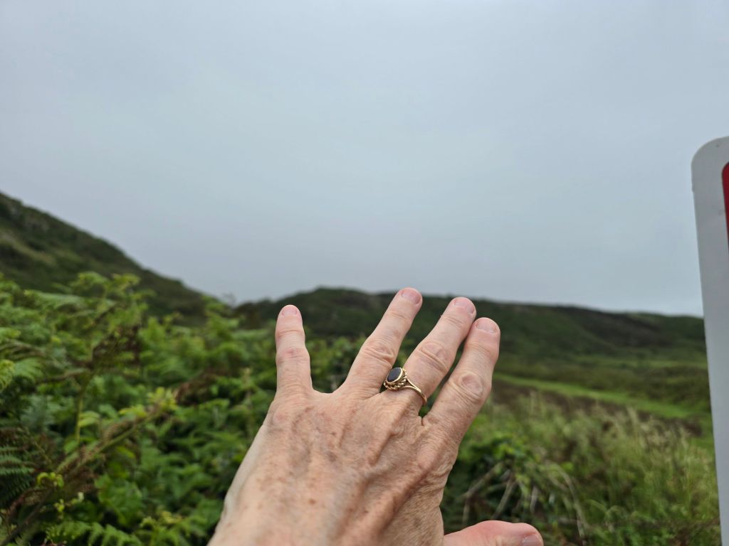
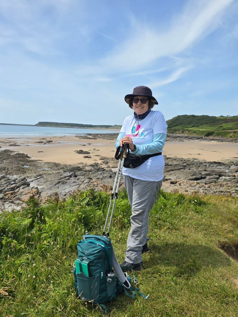
A short stroll back to the beach and across the car park led back to the cars. As I had my Dementia UK t-shirt on, I was given a donation towards the walk by a lady who equally has a mother with Alzheimer’s, which was generous of her. I set up a touching point in the car park.

Monday 15th June

Steps on the trail 13247 –  Miles on the trail 5.73

Kenfig to Port Talbot, train/bus take the strain. I went by train to Pyle, and then after a bit of confusion found the bus stop to get the 63B back to Kenfig Nature reserve. I was there about 10 minutes before 11am, and used the facilities (never believe AI station information about there being toilets when there were not at Pyle). I had a coffee and Gavin and Alison arrived. More coffee was consumed, and catching up began. I was abit apprehensive about the sand dunes down to the coast path, as this is where I had upset my ankle back in April. I was careful to use the poles well, and we broke through to the coast path after about 20 minutes, by carefully following the way markers.

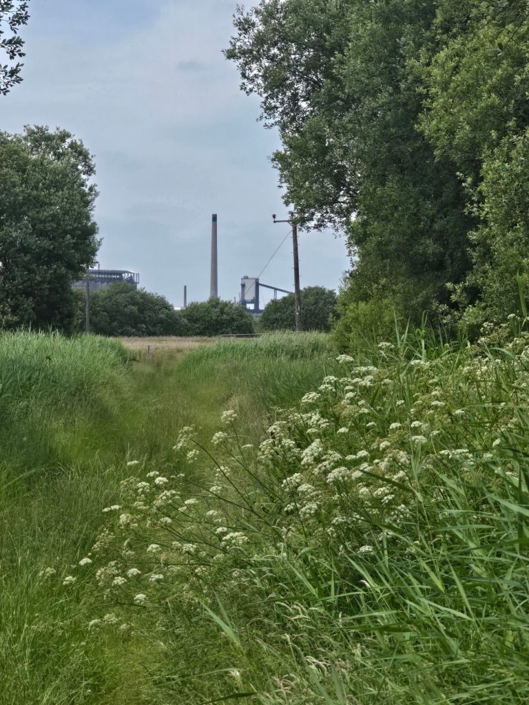
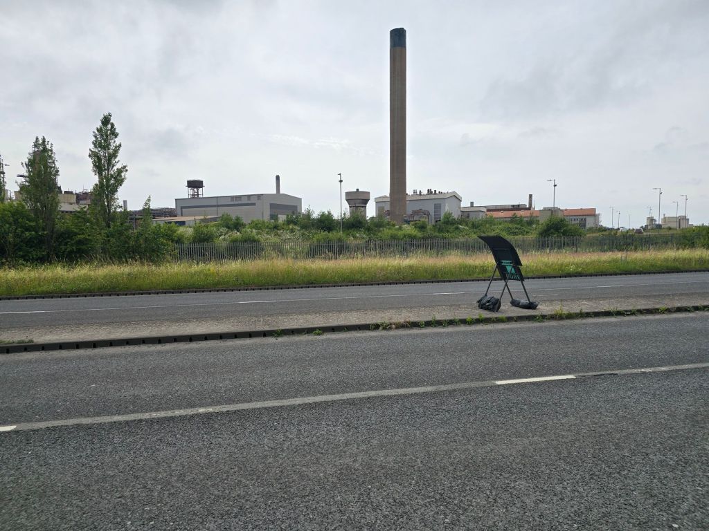
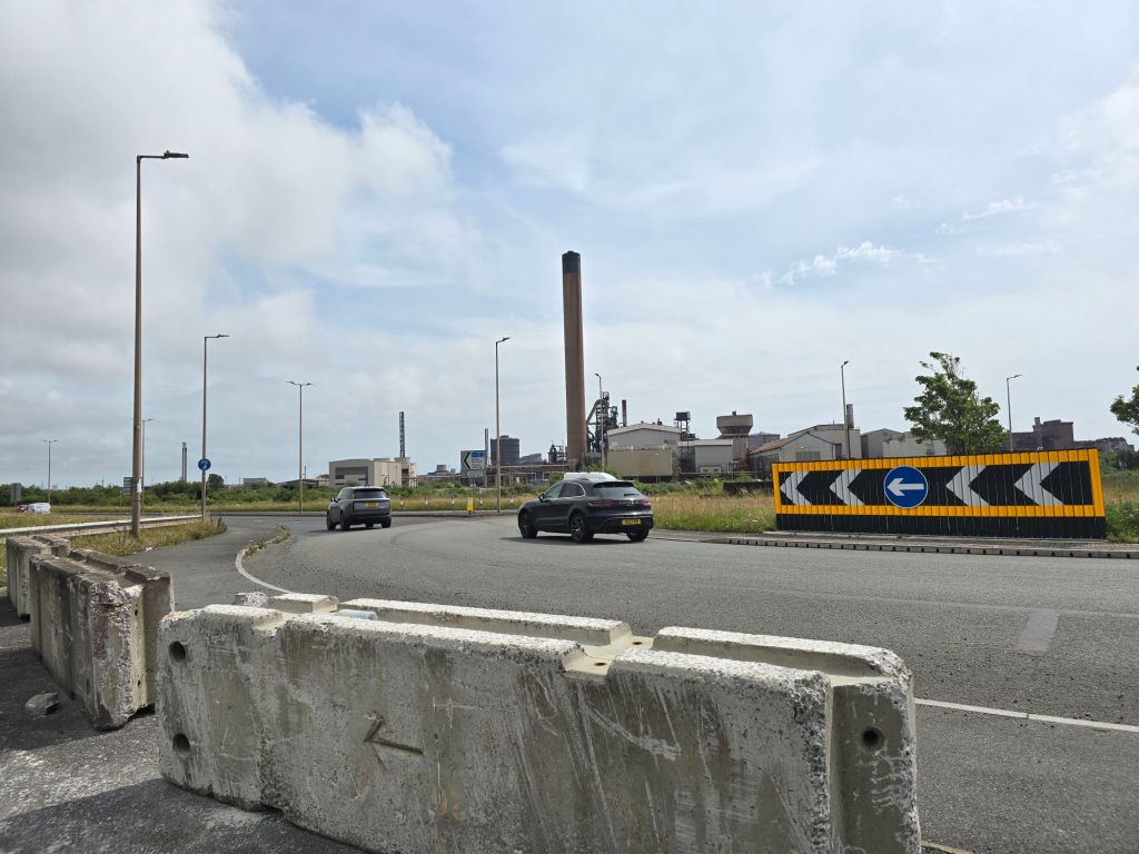
We carried on along the coast path – enjoying the wide views of the beach and had a coffee stop on a log. We did the requisite couple of miles before the path started to turn away from the coast to skirt around the steel works – which were entirely visible on this day. It was a nice temperature bit did have humid moments. We saw a barrier which was not across the path, and a sign saying the path was closed for 5 months in 2024! We didn’t think much of it as it was very out of date and carried on. Now skirting through dunes, around the edge of a large naturalised spoil mound and a grassy track which was rather overgrown. We were looking for a place to have lunch and eventually (by this point we had done about 5 miles!) we came out near some active works and there was a large pipeline by the path, above a track so we sat on that to eat our lunch (it turned out to be a temporary replacement sewar pipe!).

We were just packing up after lunch, we had been spotted earlier by someone in a van on the track, and another man (called Gethin) came along in a 4×4 and explained the path was closed, and in fact, we should not have been where we were! We explained we hadn’t seen any active signage etc (though later found it is indicated on the internet that the path is shut even if the alternative route is incomprehensible!). After initially suggesting we go back the way we had come, the lovely Gethin offered to take us back to where we would have come out near Margam (and got us past large locked gates about a mile further on which would have barred our way on the route!). This meant scrambling down the steep bank to the track to get in the 4×4 -where Gavin assisted me for which I was most grateful. I am so glad we were spotted and ‘rescued’ and Gethin, true to his offer, took us back out to the roundabout near the crematorium on the edge of Margam in his 4×4.

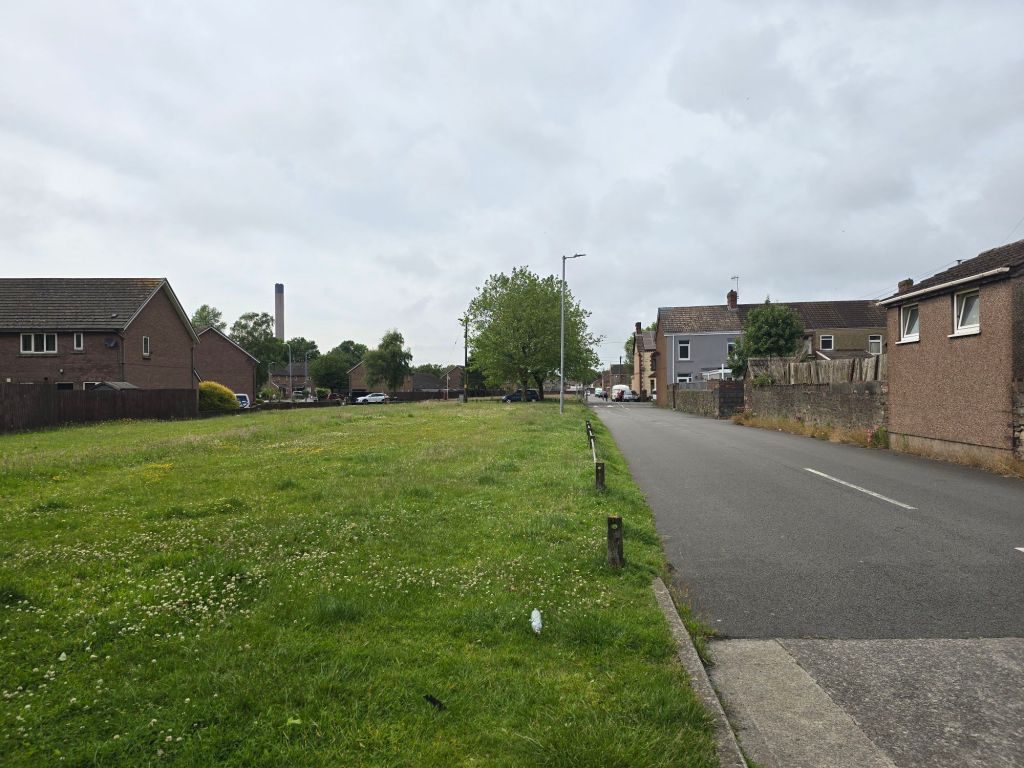
We did the final 3 mile section through housing and by roads from there on foot, I linked  with my previous touching point, and then connected with Alison. We returned to the café I had used at Aberavon on Saturday for some sustenance, before Gavin and Alison dropped me back to Port Talbot and I got the train back. The last 10 minutes back up to base camp were abit of a struggle as I had stiffened up (and overall I had done just over 11 miles that day).


Adding to both ends!

Mumbles – South end car park to Caswell  Bay

Tuesday 9th June

Steps on the trail – 13927  Miles on the trail 4.35

It was a bright sunny morning – rather windy and I returned to the South end car park on the Mumbles. I took a while to get organised and set off on the final bit of the promenade, up to the pier. I availed myself of some facilities before ascending some steep steps up on to the headland. What followed was several miles of scenic coastal walking, made very much easier by a cement track (all bar the last ½ a mile into Caswell Bay). There were many seats and a few ascents and descents. There were lots of people on the track of all sizes and ages, and plenty of dogs. I stopped first for a coffee looking back at Limeslade bay.

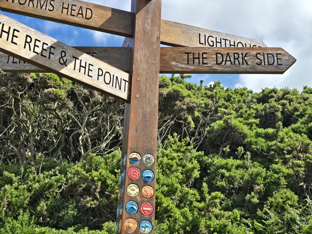
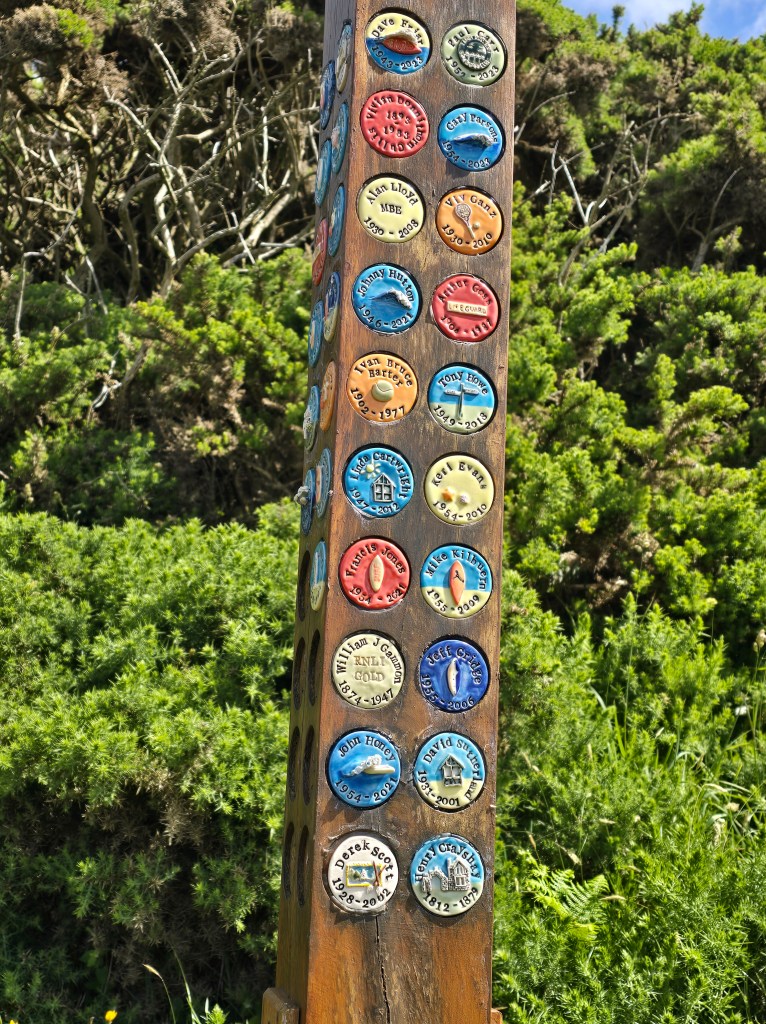
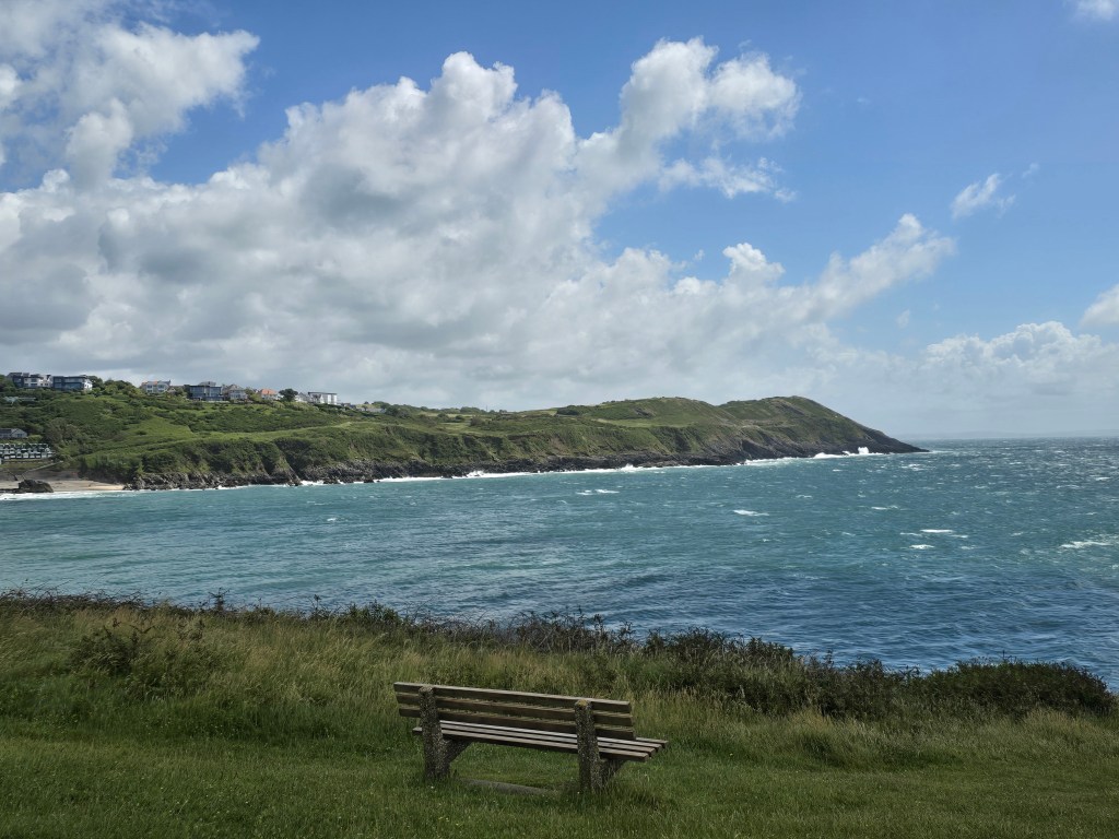
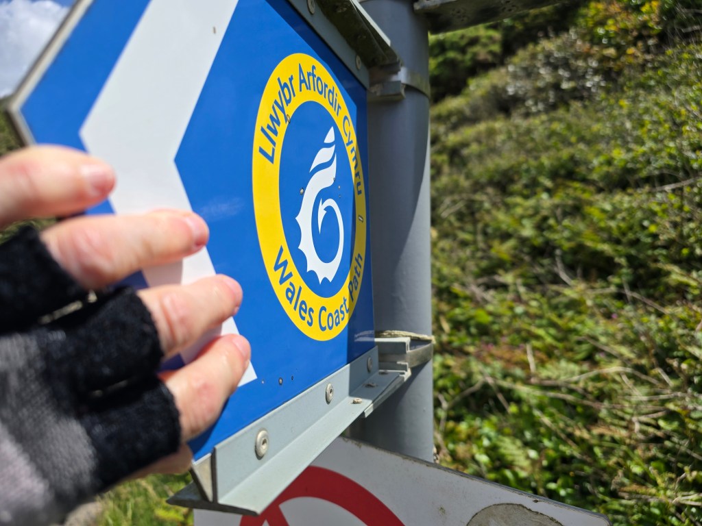
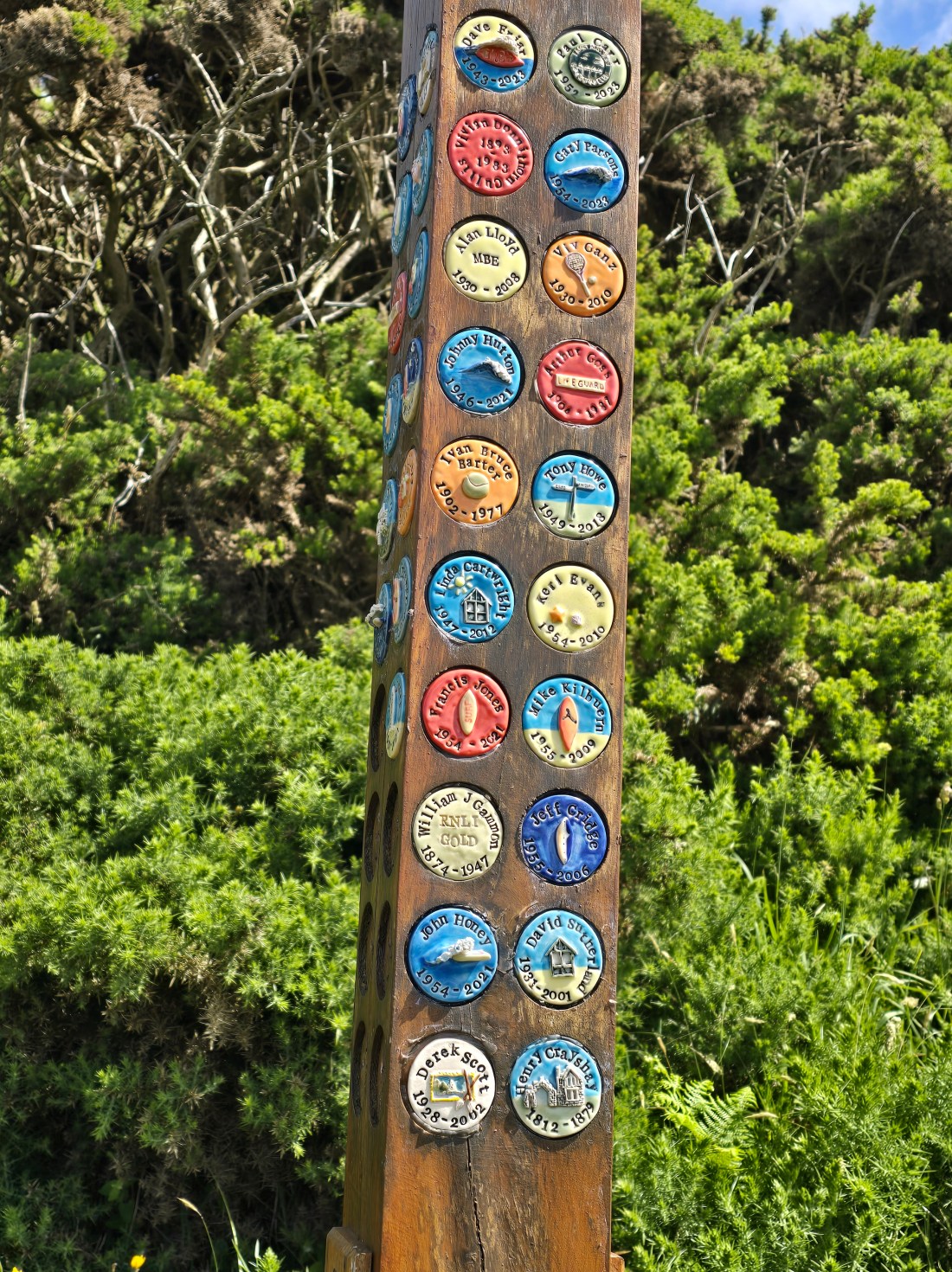
The wind was really blustery and I wished I was walking in the opposite direction. It was really very straightforward – dipping down first to Langland Bay – where I again used some convenient facilities. There was a terrific footpath sign, with memorial plaques, and a reference to the dark side! I stopped for a  second coffee on a bench at Snapple point (which was reasonably sheltered) looking back across the bay.

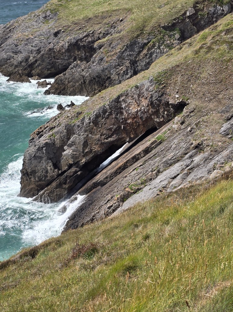
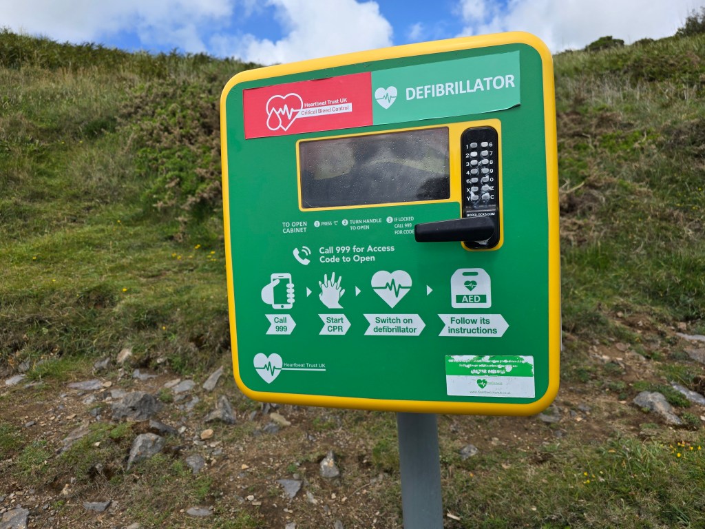
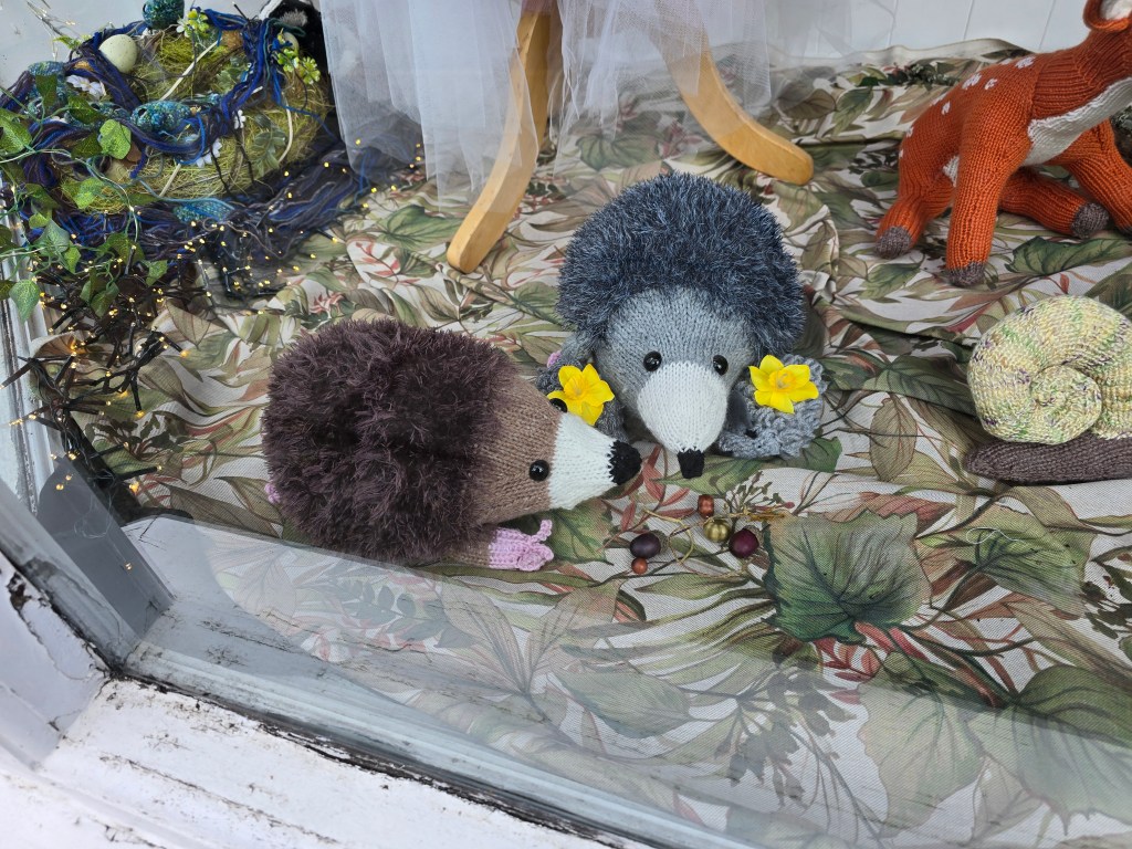
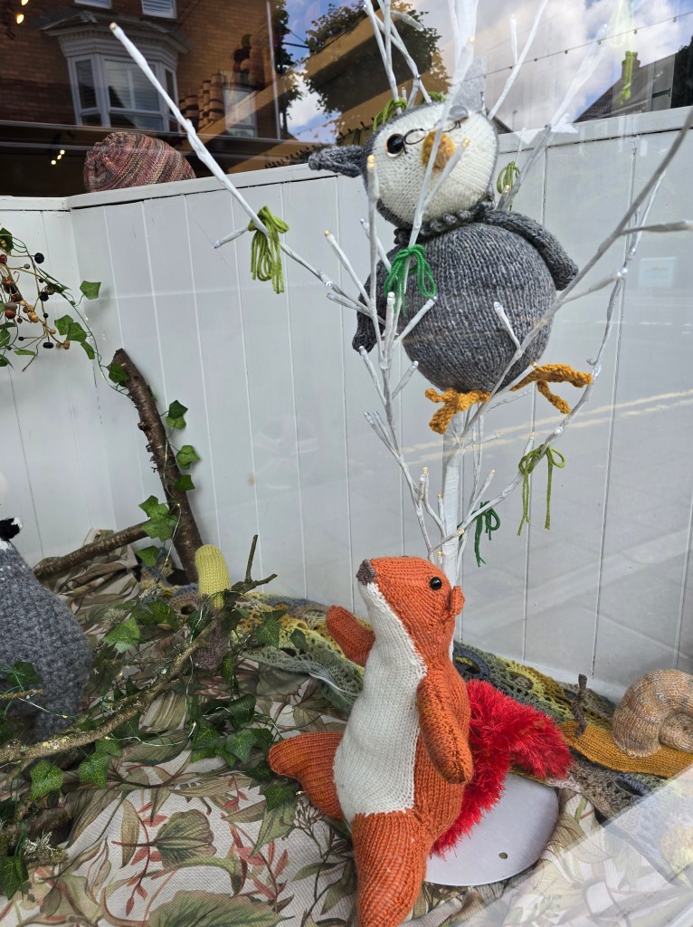
The next stretch was even more windy and a big more rugged and after about a mile wound down into Caswell Bay. I didn’t need the conveniently placed defibrillator near one of the sharp ascents. It was in good time to get a No 1 bus back to Mumbles but it stopped about a mile from where the car was parked. I had lunch on a bench on the promenade, did a little bit of shopping and walked back to the car along the road, taking in a wool shop with lots of knitted animals on the way back!

Jersey Marine to Baglan (near the station!)

Wednesday 10th June 2026

Steps on the trail 12440  –  Miles on the trail 3.94

I got the 116 bus from 5 minutes away from base camp back to the Swansea bus station. I nearly missed my connection as the bus driver had logged off the bus before I tapped off! I had to wait for the new driver to log in again! Not very helpful. I just caught the X7 back to New Road in Jersey Marine where I had stopped on Monday. I really wasn’t feeling that special (and an hour on the bus hadn’t really helped!).

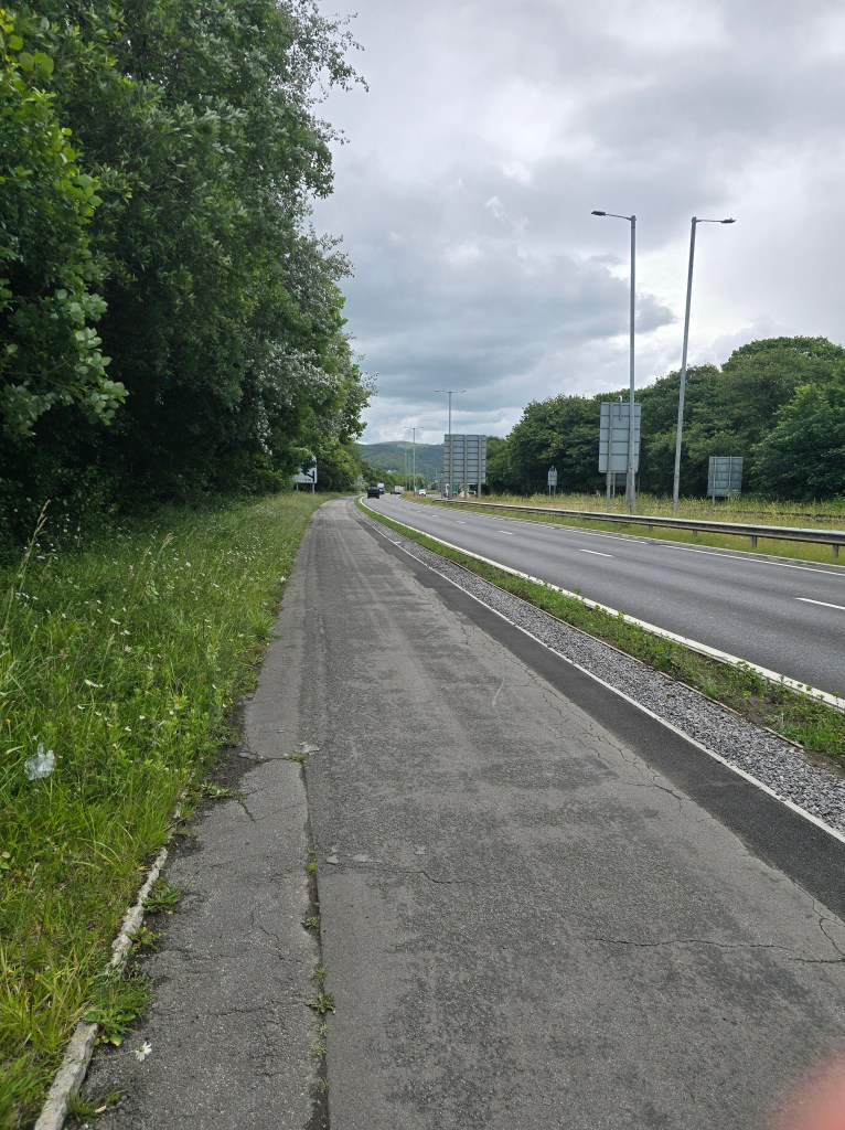
I started the trek by the bridge over the Tennant canal and retouched my touching point. I walked on soon joining a combined cycle route and walkway alongside the A483. I stopped in a garage, to use the facilities (and some of the reason I wasn’t feeling so great became apparent!).

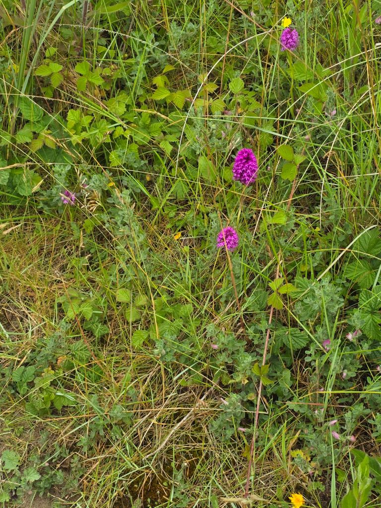
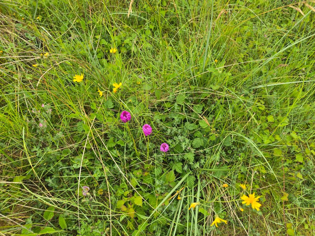
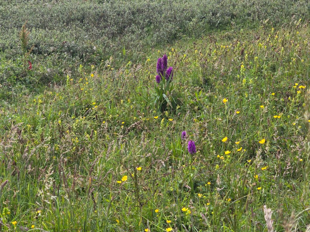
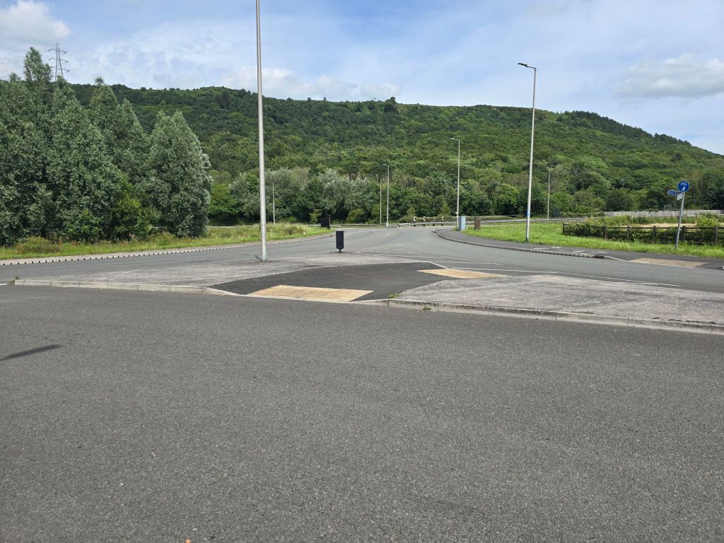
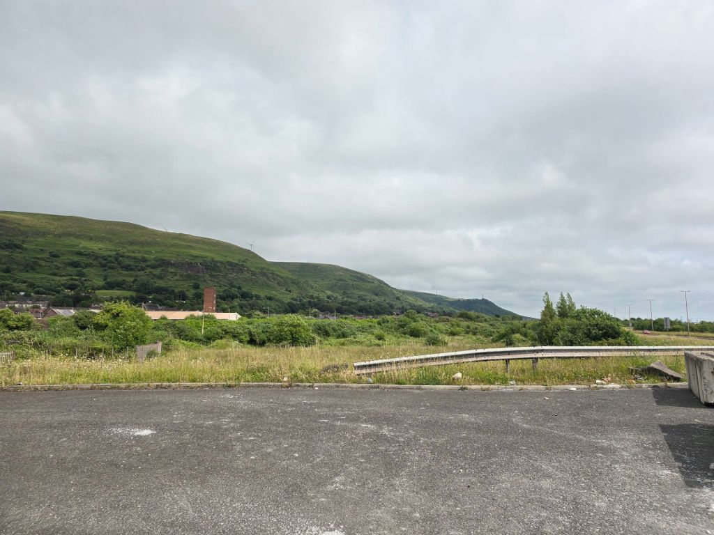
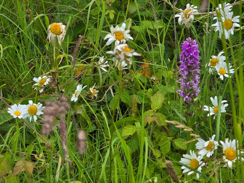
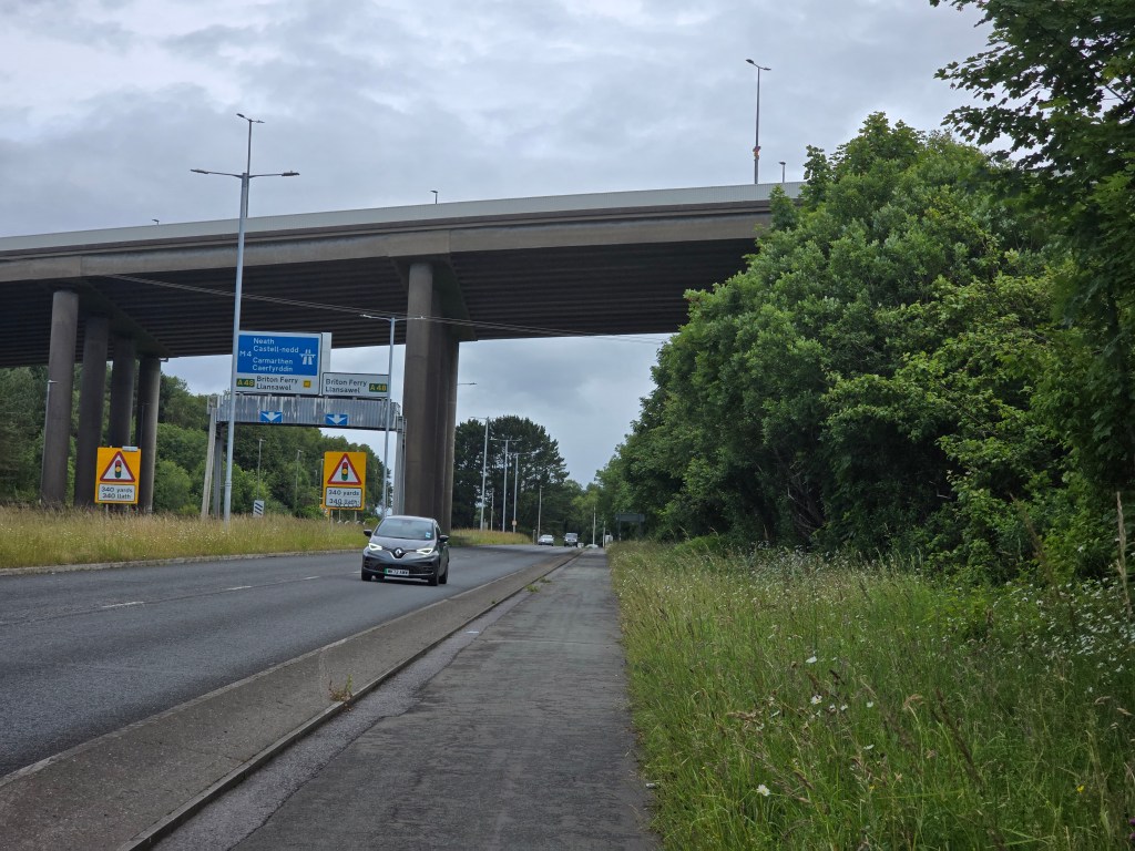
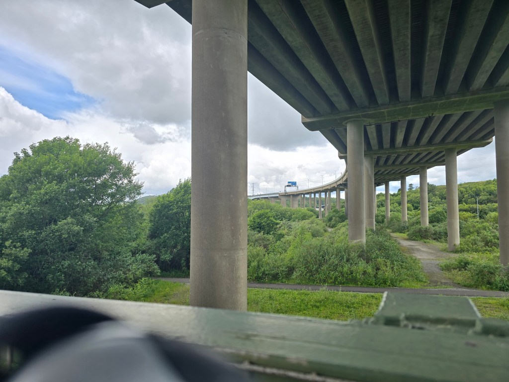
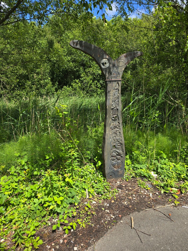
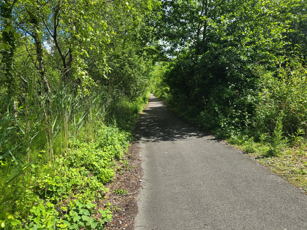
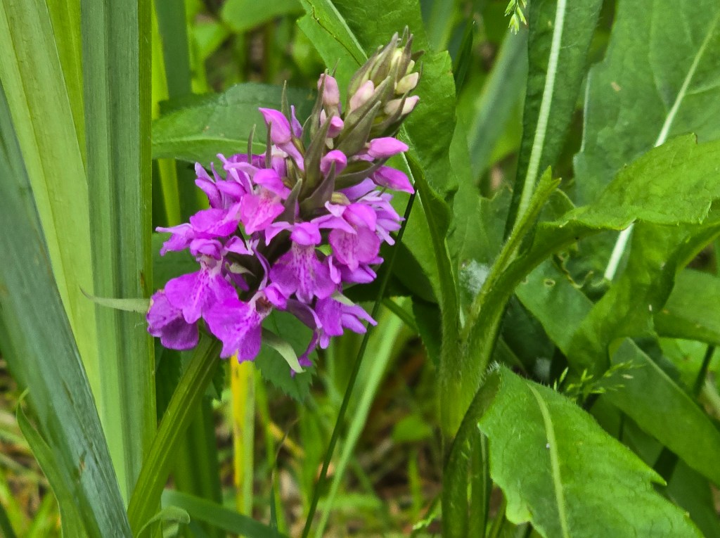
The walk was not very exciting along side a main road but there were occasional orchids in the verge. As I drew near the M4, there was an underpass so I could get under the dual carriage way, and I then walked under the motorway (M4) (which is elevated at this point!). I carried on alongside the A48 and over a bridge over the river Neath. I had to make a choice between the red and blue options on the coast path – and I chose what I thought would be a walk on the beach/sand dunes – the blue option. As soon as I could I stopped for a coffee break on a slightly less busy road, on the corner before a turning to a recycling centre sitting on a crash barrier. Not my  most scenic coffee stop by any stretch of the imagination! It started to rain briefly so I donned my kagoul. I was contemplating putting on my waterproof trousers when it stopped!
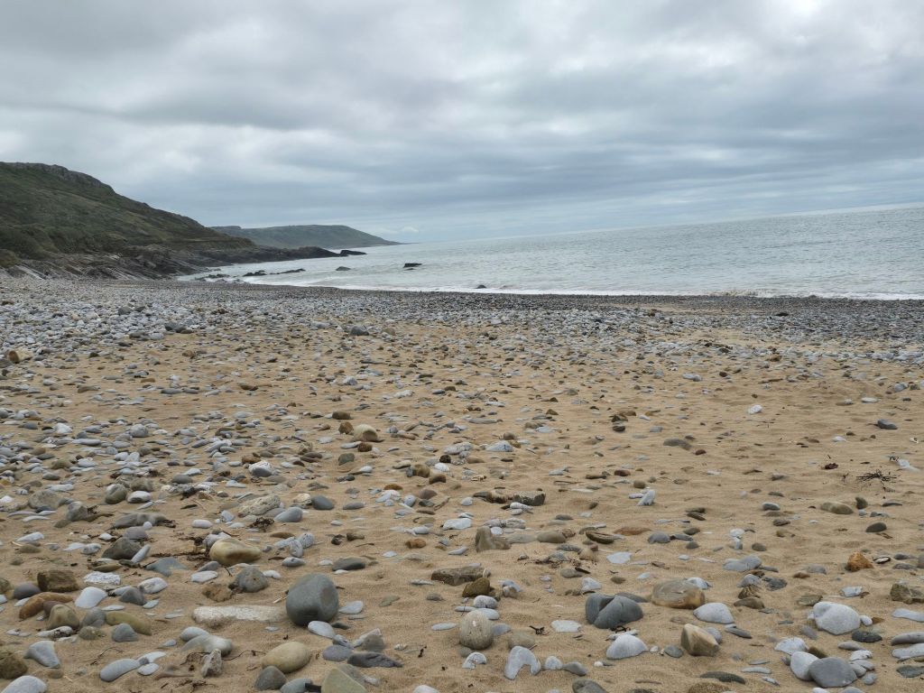
Shortly after crossing under the M4 again, I started following the coast path signs for the blue route – which bore no relation to what the map or the guide book said – and the walk was alongside a B-road through a long industrial estate! I really wasn’t feeling it and it tried to rain on me several times.  I decided when I eventually reached a footbridge near a bus stop to regroup and was contemplating what to do sitting  on the footbridge footings. I was just under the 4 mile point, but I really needed facilities! And there was nothing obvious ahead.
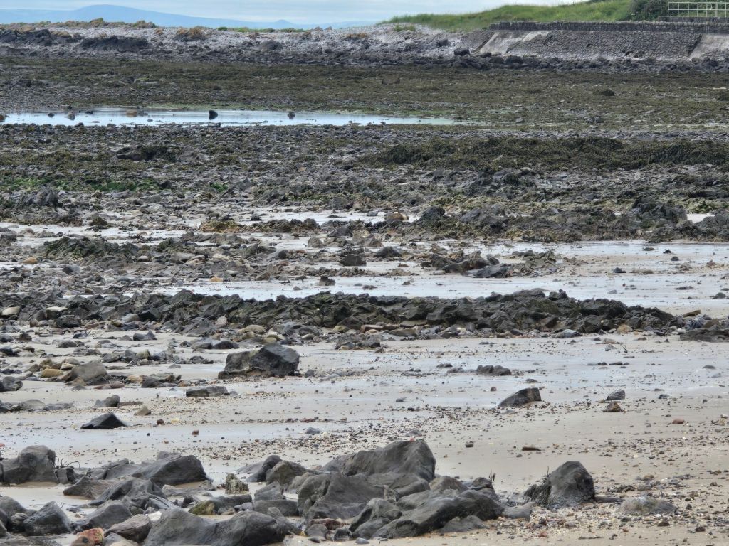
I checked what was happening bus-wise and 2 minutes away was an X1. I hastily set up a touching point abandoning the activity of the day.  I took the X1 back to Swansea bus station, and was relieved to find the facilities (spotlessly clean but 30p a throw) and spent some time in there. I decided to get the 116 back home. Again feeling rather grim on exiting the bus  – I knew I had made the right choice! I had a quiet afternoon, watched some tennis and had a sleep and things have calmed down!

Swansea Bay

Mumbles – South end car park to Brynmill

Sunday June 7th 2026

Steps on the trail 8064 –  Miles on the trail 3.48

A more leisurely start, following a church service at Murton Methodist Church – with a good exposition on the first chapter of Philippians. I liked the idea of Bible month, and enjoyed the strong Biblical focus and some super singing – with 2 great Wesley hymns.

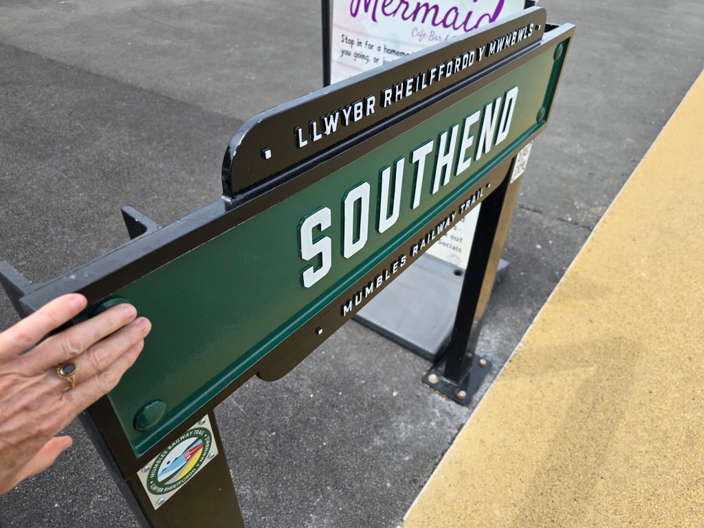
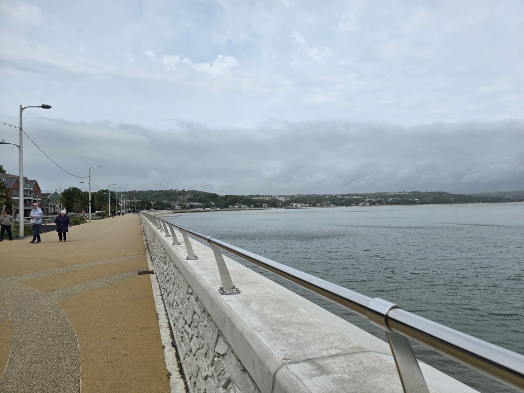
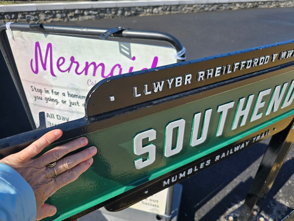
I  parked at the South end car park on the Mumbles, it was overcast and it looked like it might rain! I failed to get the car park machine to work after several efforts (things improved a bit when I got it to prompt me in English rather than Welsh – but it failed to do the final step – so I resorted to an app). I set up a touching  point using the Southend sign on the Mumbles railway trail.  I did a leisurely stroll on the promenade in the direction of Swansea, seeing evidence of the Swansea half marathon that had been earlier. There had been significant improvements to this end of the promenade, which were opened in 2025 – it did look good, and rather better than my memories from a placement in Sketty in 2003. I stopped for a coffee after I had found a public toilet.

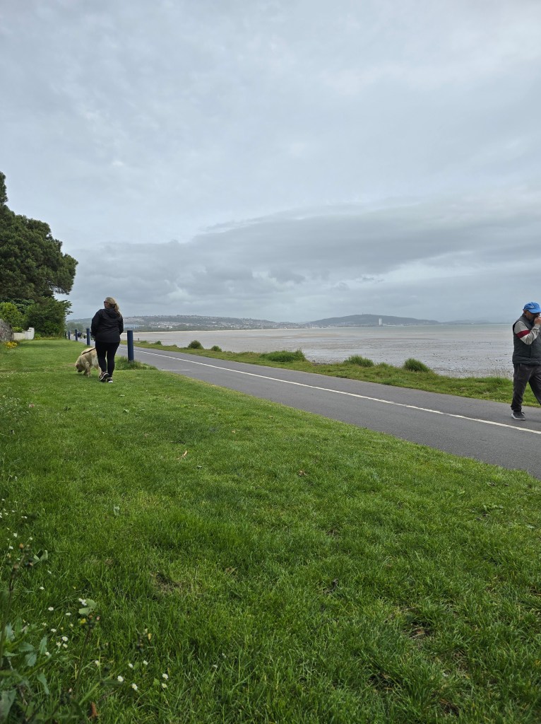
I walked on to Black Pill before stopping for lunch. By this stage I realised I wasn’t going to be able to get a bus back very easily because it was Sunday, and the land train wasn’t running because of the marathon, so I decided when it came to it I would get an Uber!

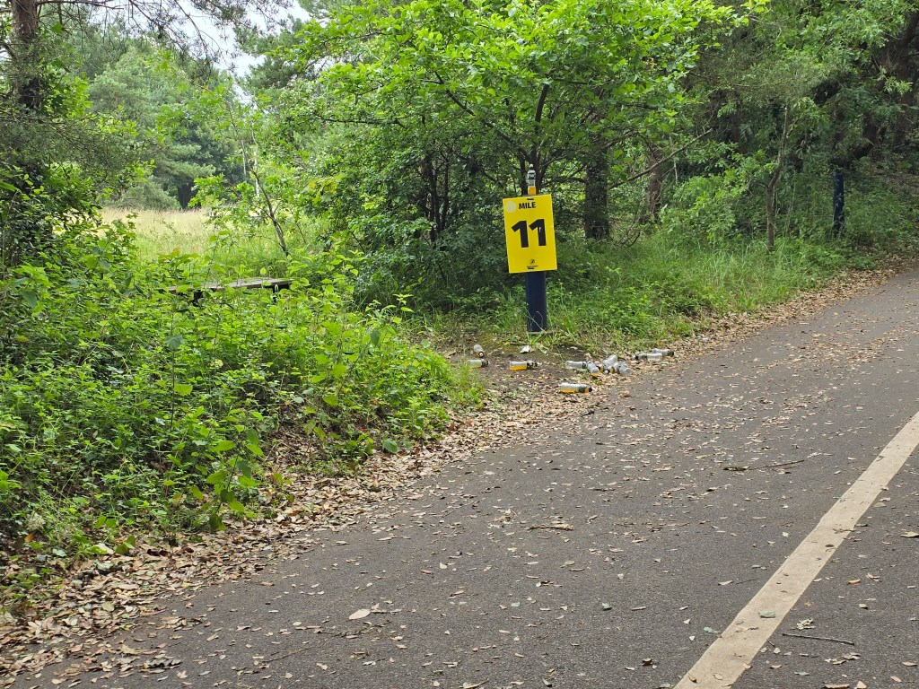
Lunch hit the spot – and I carried on through more of a country park. The evidence of the half marathon was littering the side of the track, and it was quite poignant as I passed the 11 mile mark. I remembered my own half marathon (run for Christian Aid and my 50th birthday in 2011!) in and around the Royal Parks in London. I remembered hitting the wall a bit between the 11th and 12th mile markers on that occasion. I had trained for 6 months to get to this point and I was particularly grateful for the encouragement from the crowd as I alternated between walking and running at this stage!

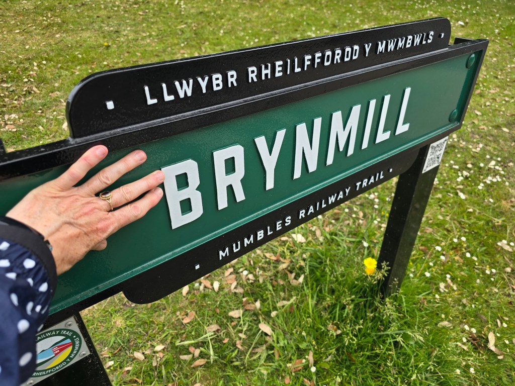
I did another mile on the trail, but was getting a bit conscious of sharing the path with a cycle track and seeing several folk in county lines kit passing me at speed – I have watched too many episodes of Line of Duty!. At Bryn mill on the mumbles railway trail I established a touching point and a very chatty Uber driver took me back to where the car was parked. Just as I was getting out of the Uber it started to rain! Which continued well into the evening!

Brynmill to Jersey Marine

Monday June 8th 2026

Steps on the trail 15329  –  Miles on the trail 6.56

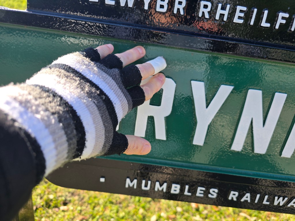
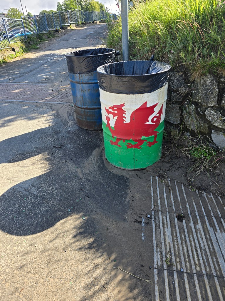
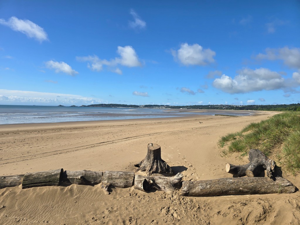
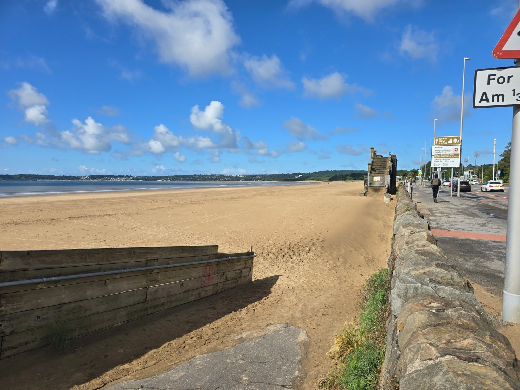
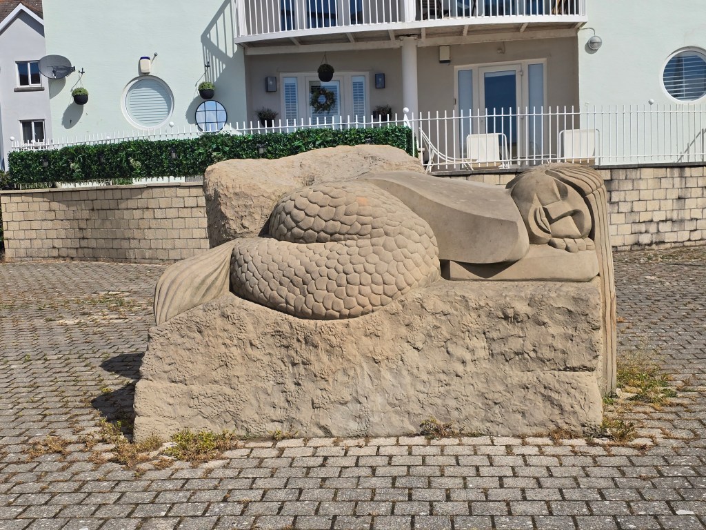
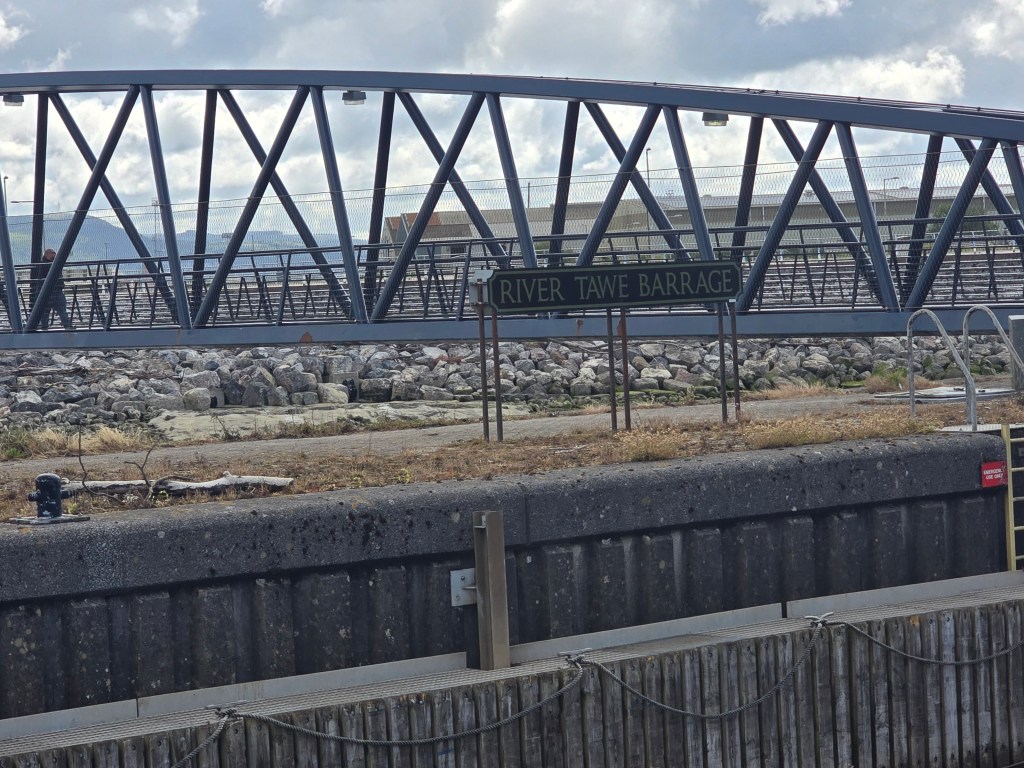
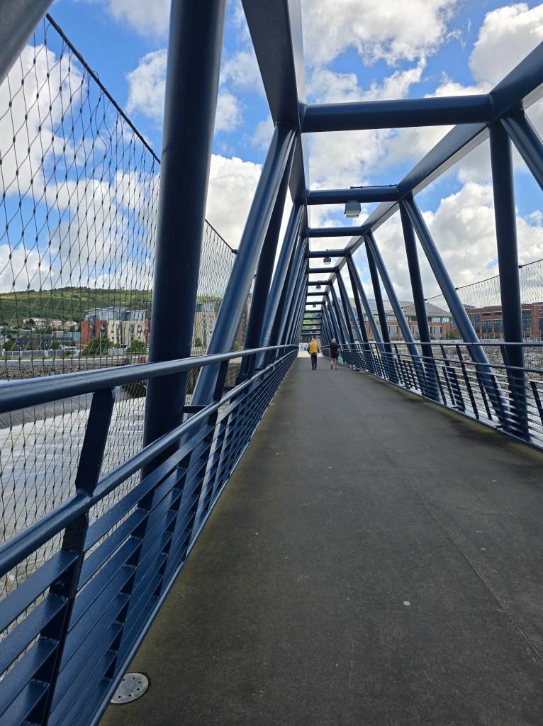
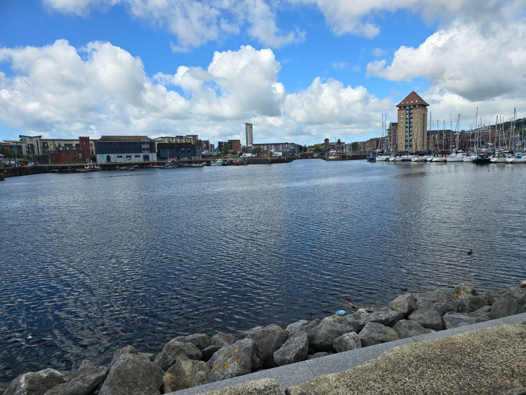
I had spotted a car park near the Brynmill touching point and I headed back there. Ready to walk by 9:30am. It was bright and sunny, but cool and I decided gloves would be a good idea! There was a very patriotic bin! After connecting with the touching  point, the trail kept above the beach and was much more open than yesterday’s final section. I walked along with the developments getting more and more upmarket, (though some were not ageing well), and there was a mermaid!. Eventually where a building site blocked off the path, I turned a corner on the side of the river Tawe and a marina came into view. I found a toilet, crossed the Tawe on a foot bridge, and then settled down for morning coffee.

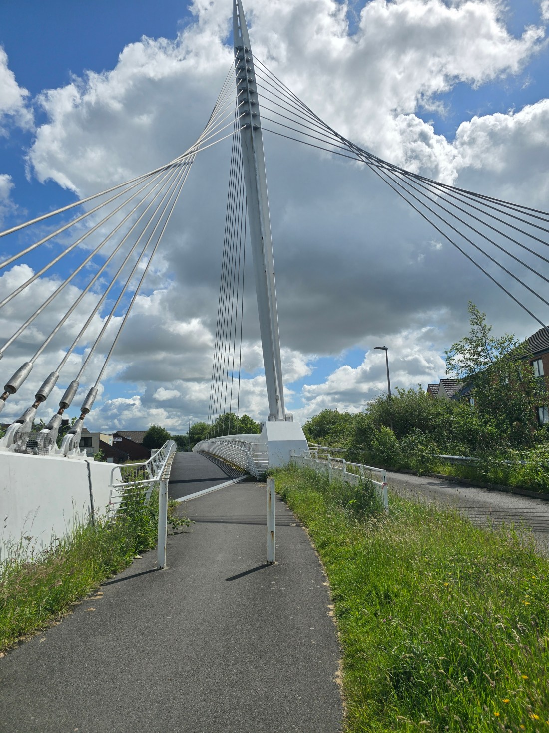
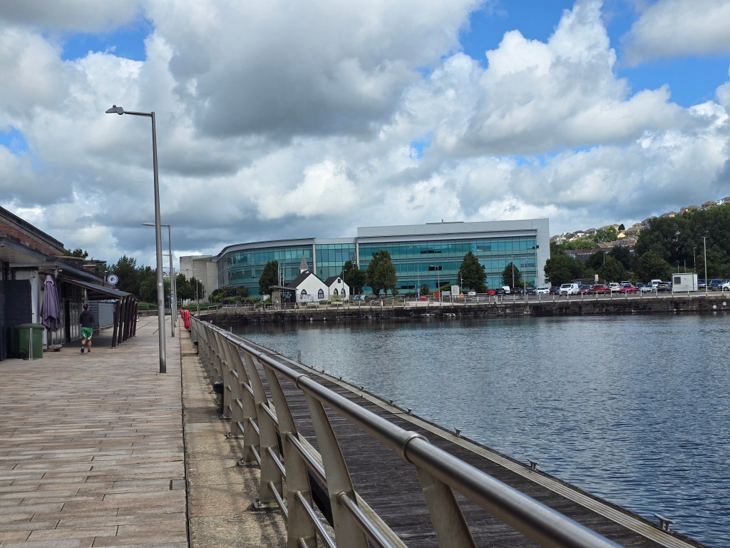
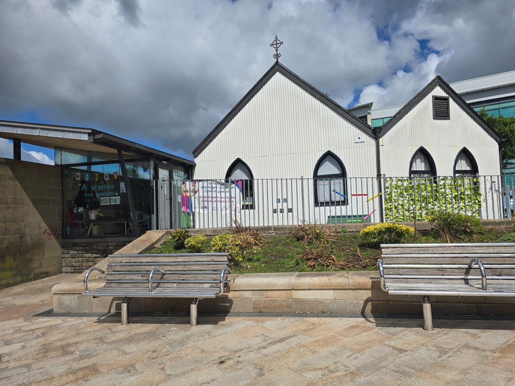
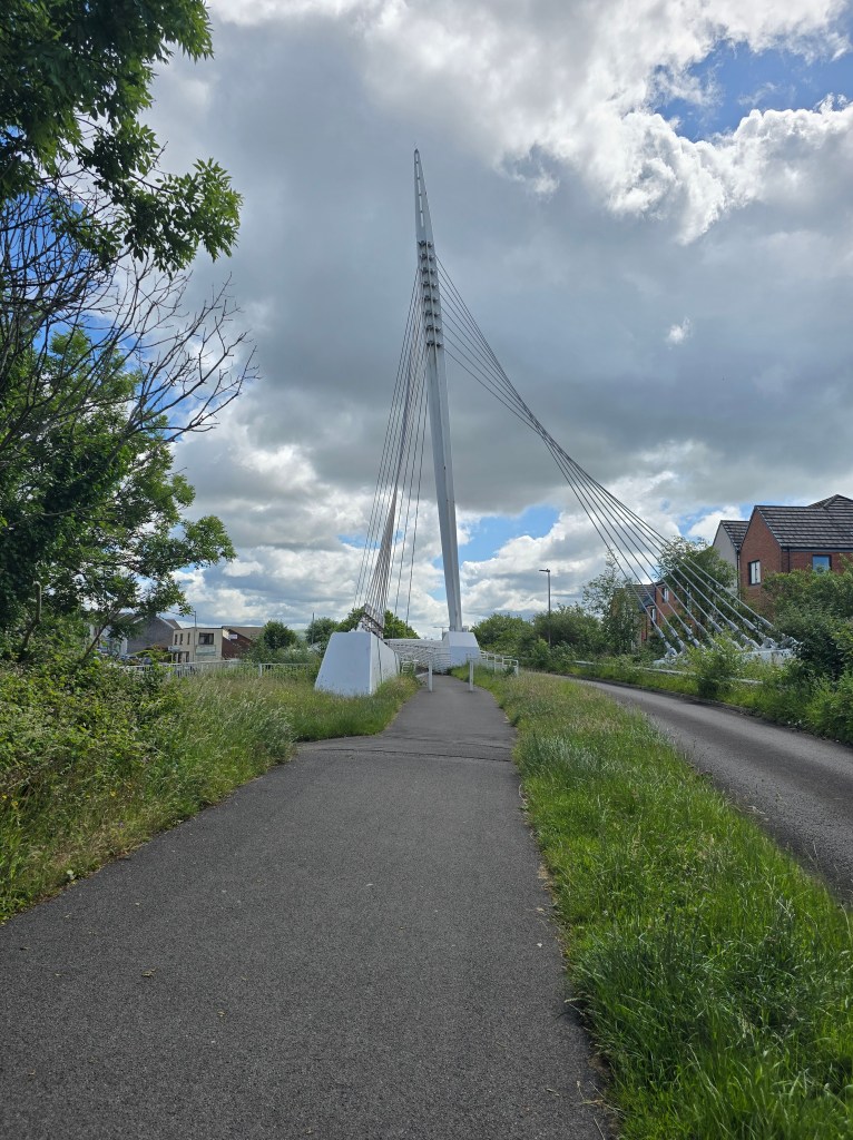
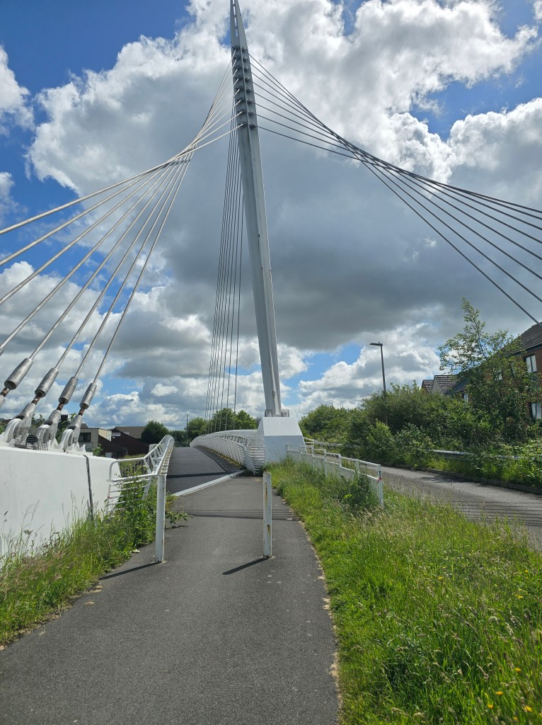
The trail headed inland round the Prince of Wales dock, past a Norwegian Church which is now a nursery and on to a track, with a  very impressive footbridge (suspension!) over the main road. I carried on along the track for about ½ a mile, before passing Fabian Way park and ride to a road.

I had a bit of a dither here, as I worked out whether to carry on. I did do a further 2 and a ½ miles to Jersey Marine, along a track that deteriorated to a narrow path, and went past some wetland, and eventually the last mile or so by the disused and overgrown Tennant Canal. (Thankfully this was much to remote a path for more county lines stuff! And I saw 2 cyclists and 1 man walking his dog on the entire stretch!) – There were several signs discouraging crime and telling me I was being watched!
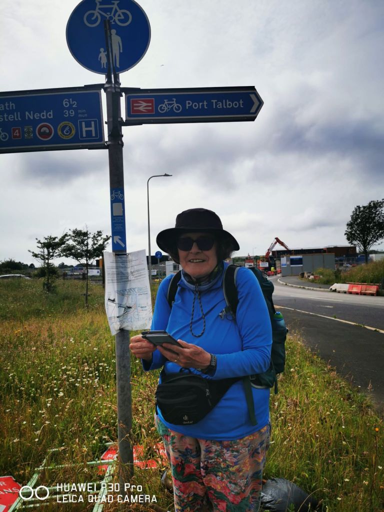
I established a touching point where the path came out by a bridge, and wandered up the road to a very convenient bus stop. I had a short wait to catch a T6 bus into Swansea and then a number 1 back to Bryn Mill. I ate lunch overlooking the beach back near where I started, before heading back to the car.

Post Easter rambles

Steps on the trail 44738 Miles on the trail 19.3

Steps off the trail 32392 Miles off the trail 13.9

TOTAL 77130 steps, 33.2 miles

Unusual to be on the coast path trail for my post Easter break. Lots of contributory factors to me not being very trail fit. For starters I had a nasty run in with cellulitis in March, and have been rather careful with my right hand as a result. I was a bit reticent about using my walking poles – but that has proved to be OK and I have had no issues with my hand!
Unfortunately the choice not to use my walking poles on my first day – which ended with a lengthy spell through the Kenfig sand dunes to connect with a bus went not a good one for different reasons. Not using the poles was a mistake, as I ended up with an achy left ankle (from an old sprain I think!). Lots of twisty movements in the sand dunes without the stabilising influence of my poles was really not good…. And resulted in 1 day only doing a short distance (because my ankle hurt) and a rest day (with retail therapy at the bridgend outlet centre!). The ankle responded well to icepack treatment and wearing a tubigrip in support and reverting to my old boots! Also the poles helped in ensuring I didn’t have too many twisty movements, along with a  lot of time with my foot up on the sofa watching the snooker!
Over the days I have done short chunks of the coast path and picked up the trail from Cwm Nash and got as far as part way through the Kenfig reserve – with me only doing  on the trail and off it (total mileage . I have been pretty blessed with the buses using a 63B, the 303 and an X2 to connect up bits of the trail and where I had left the car. I walked from my base camp in Porthcawl on several days which was unusual.

I was vindicated in the choice I made in the summer when I stopped on a very  hot day too – which was a relief. I need to trust my instincts about this more. I have usually carefully plotted where the possible exits are and how to connect with buses etc, and this is time well spent!

The weather, though initially rather cool with a stiff wind – has been dry through out. I have also combined with watching the early stages of the World Championship mostly in the afternoons and evenings!

At the weekend the weather was lovely which meant it was very unusually busy! I met anglers, walkers, runners, swimmers, Duke of Edinburgh expedition survivors (on Sat and Sun), a large queue going to a street food festival near Ogmore, and lots of families on and round the beach and headland at Dunraven!

On Sunday, I redid the walk I abandoned earlier at  low tide, which reduced the section in the sand dunes from several miles, to just about 1 so as not to aggravate my ankle further!

Lovely stretch of coast path and very few issues with navigation  – even if I have not achieved a great distance. I am back soon staying on the Gower, but can hopefully join up to where I finished in Kenfig somehow!

And the trail total is 524.3 + 19.3 =  543.6 miles!!!

Barry blessings

Steps on the trail 13,377 Miles on the trail 5.73 – Steps off the trail 4298 Miles off the trail 1.78

Good to be back on the trail after a gap year in 2024! Alot has happened since I last attempted the coast path, and much to ponder as I set off today. Yesterday I established base camp for a 2 week foray into the South Wales part of the path. Some of this is very familiar territory after my time in Llandaff at Theological College. Though this now feels a long time ago! Happy memories of Jane and Jasper came to the fore via starting in Barry Island (about 8 miles from base camp). This was very apt and is now looking a little more affluent trading on the Gavin and Stacey connection. Back in the day, Barry Island was a regular Saturday afternoon walk spot (as an escape) though usually in better weather than today. It was cool and intermittently rainy!!

I parked in the big beach car park, and heading off on the trail, establishing a touching point at the start and where I finished today. I used the first coastal path sigh I saw, in very fetching red livery. The first part of the path was very familiar and I contended with drizzly rain, as well as being overtaken by very hardy runners on a long distance run! I saw a refreshment stop for them further on. Signage for path was plentiful including rather impressive tiles on the pathway

It was me and the dog walkers initially! I stopped for a coffee once I had gone past the beach and the headland and round through some housing. The rain thankfully eased off at this point. Lots of varied housing including a large more modern harbour side development.

What then followed was a lengthy section by the side of main roads, as we skirted round the docks and then on to a chemical works. I did spot an orchid in an unlikely place on the first section. I was becoming aware of potential boot issues (I was wearing a new pair I haven’t got fully accustomed too!) and need some adjusting/wearing in. In order to prevent blisters, I stopped about a mile before I had really intended too. I set up a touching point by the bus stop and got a 95 back to within a 10 minute walk of the car. The bus did a long route around the outskirts of Barry first, so by the time I got off I was rather stiff.

I moved the car to a more scenic spot in the car park and ate my lunch in the car (as the rain was falling hard by this point once again!)! A good start