Tuesday – Much needed rest day!
Wednesday 17th June
Steps on the trail 14643 – Miles on the trail 6.3
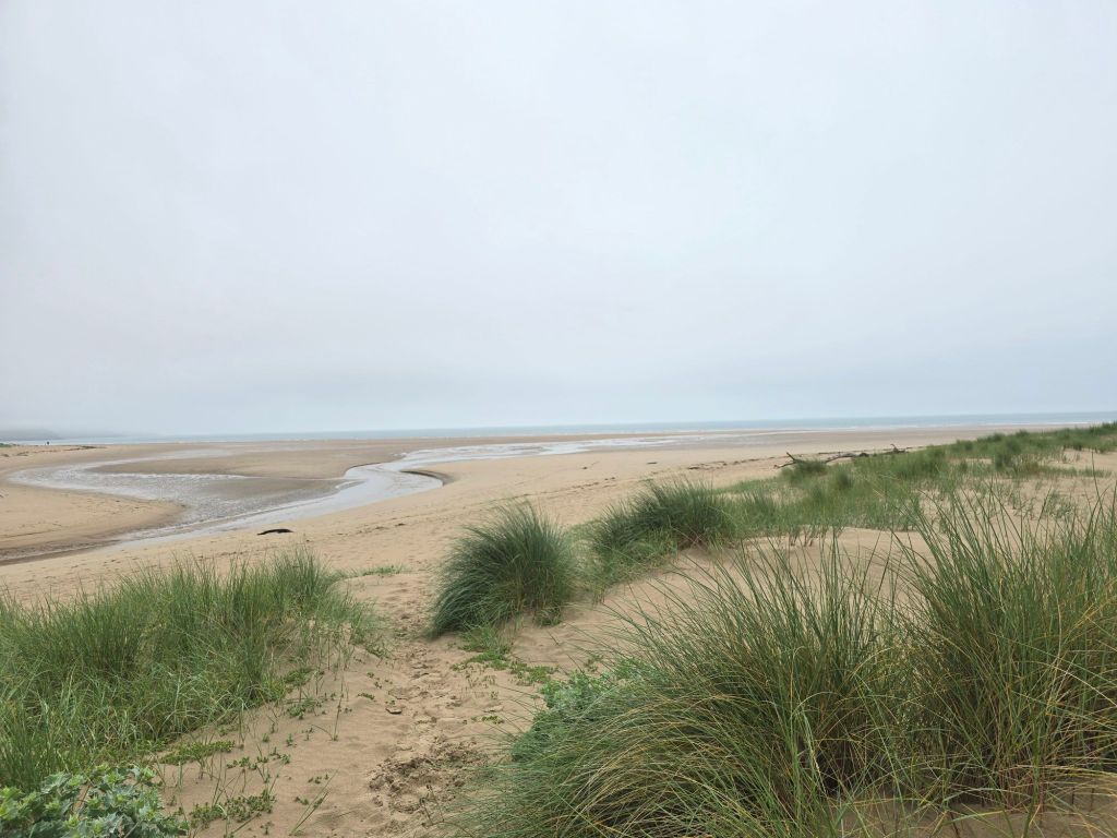
Southgate to Oxwich Bay
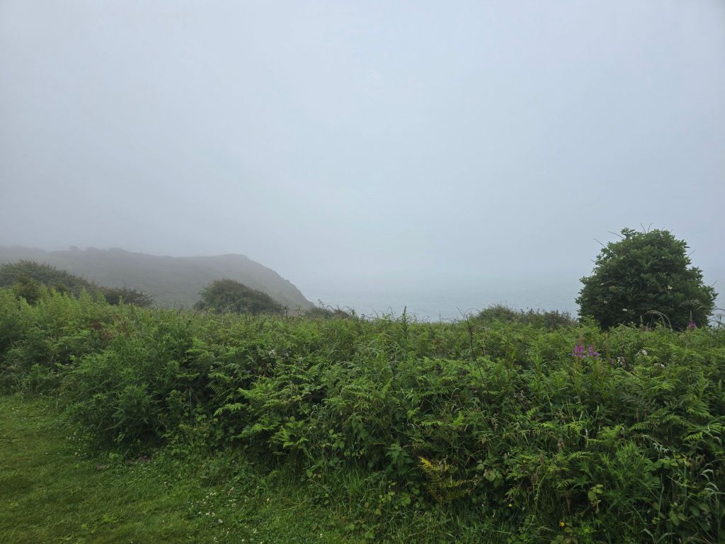
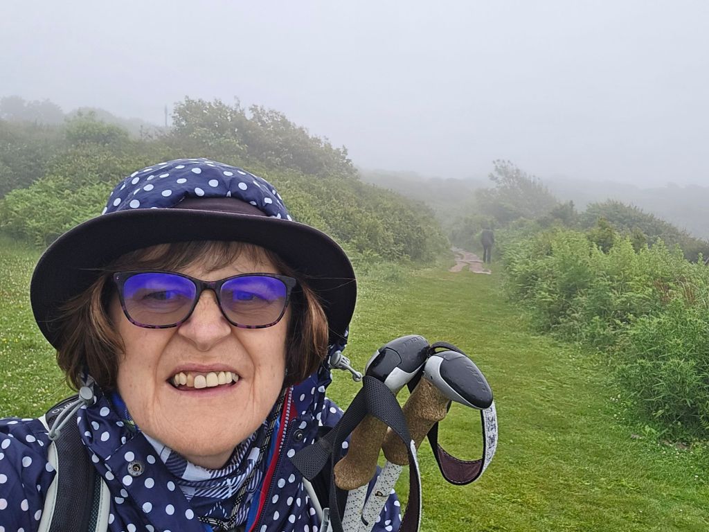
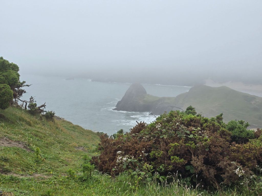
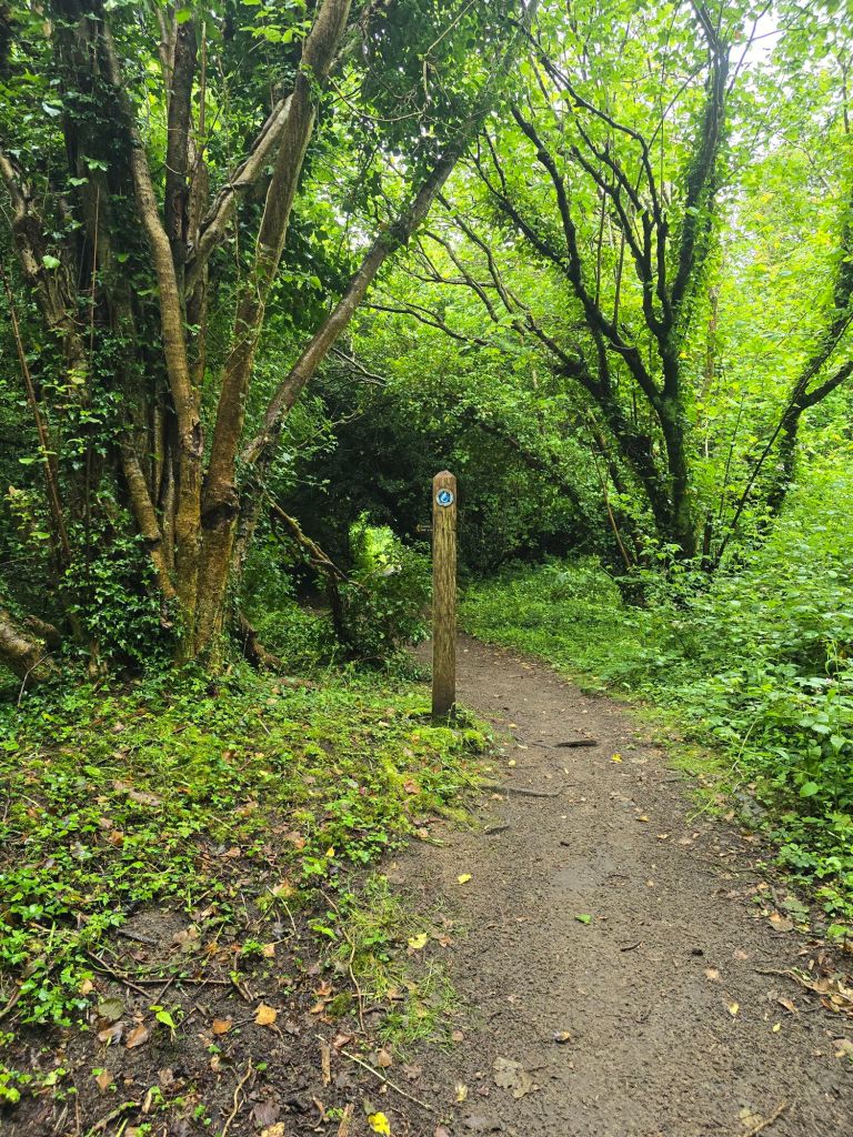
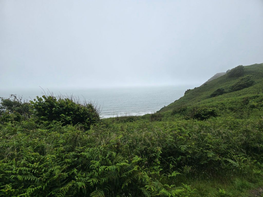
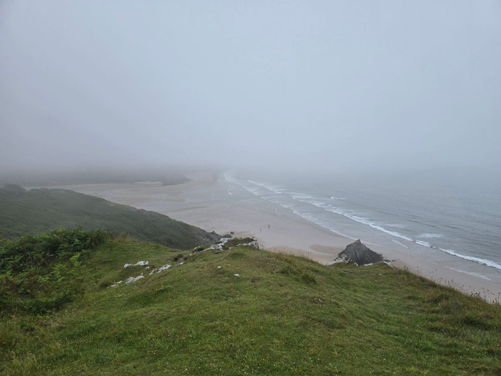
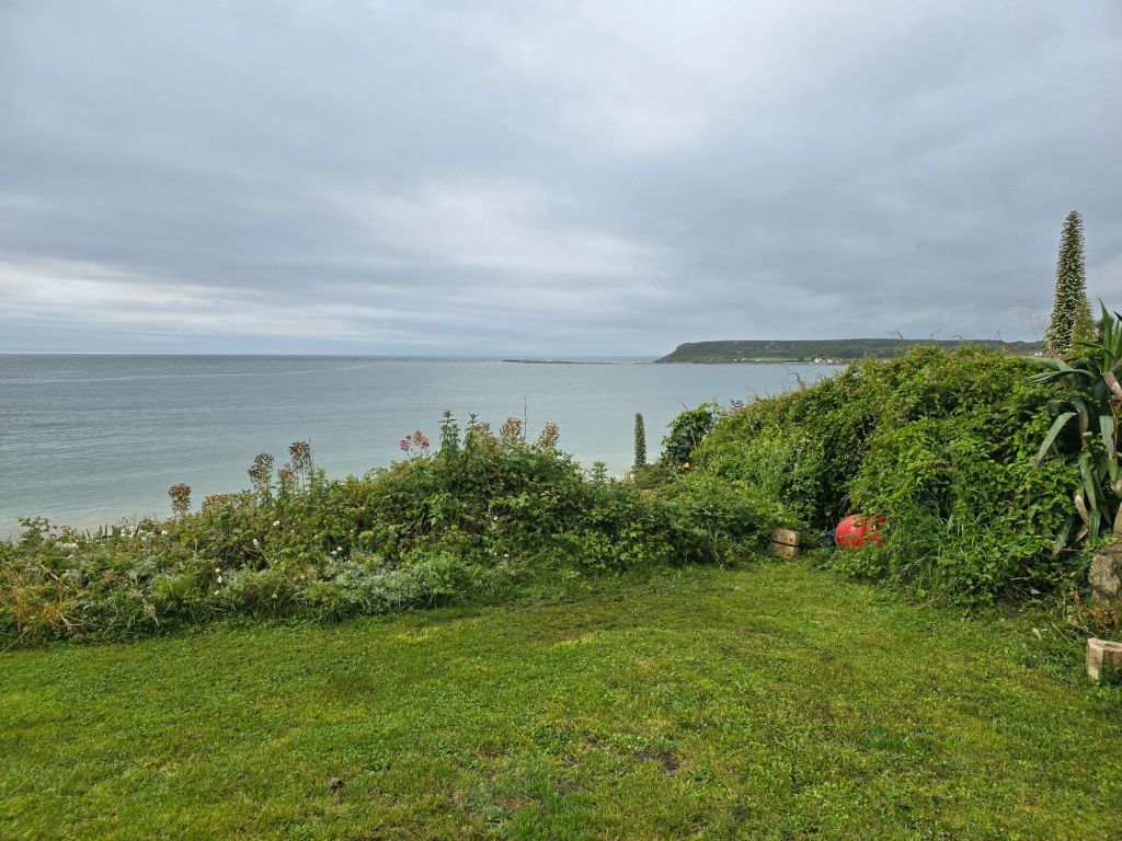
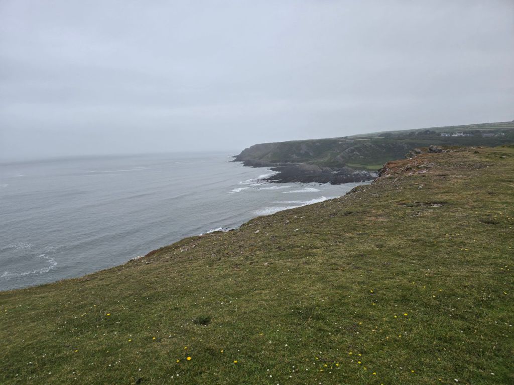
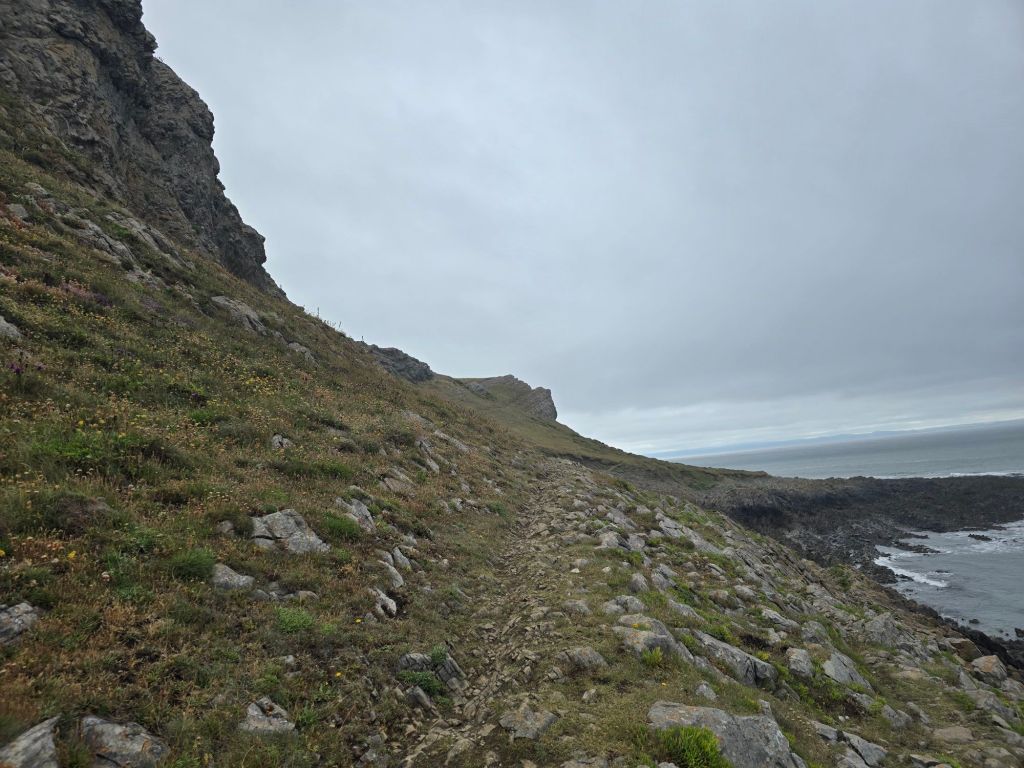
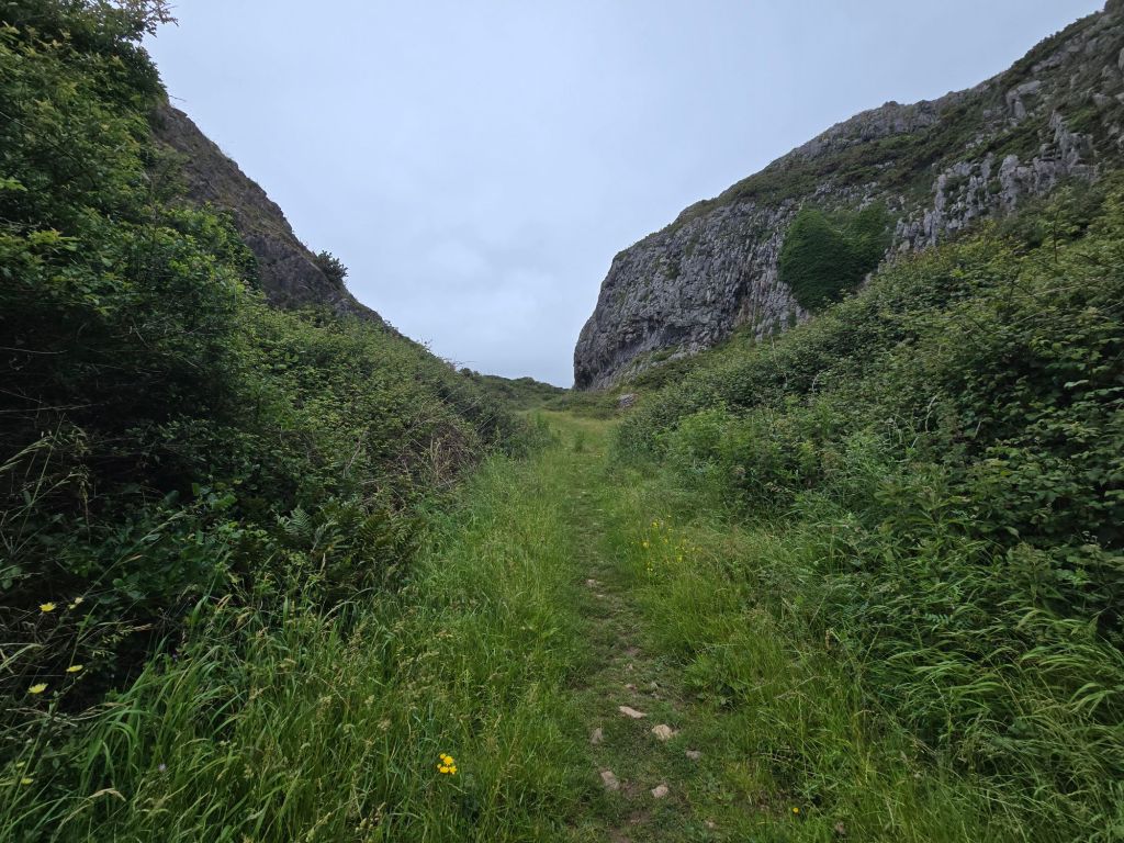
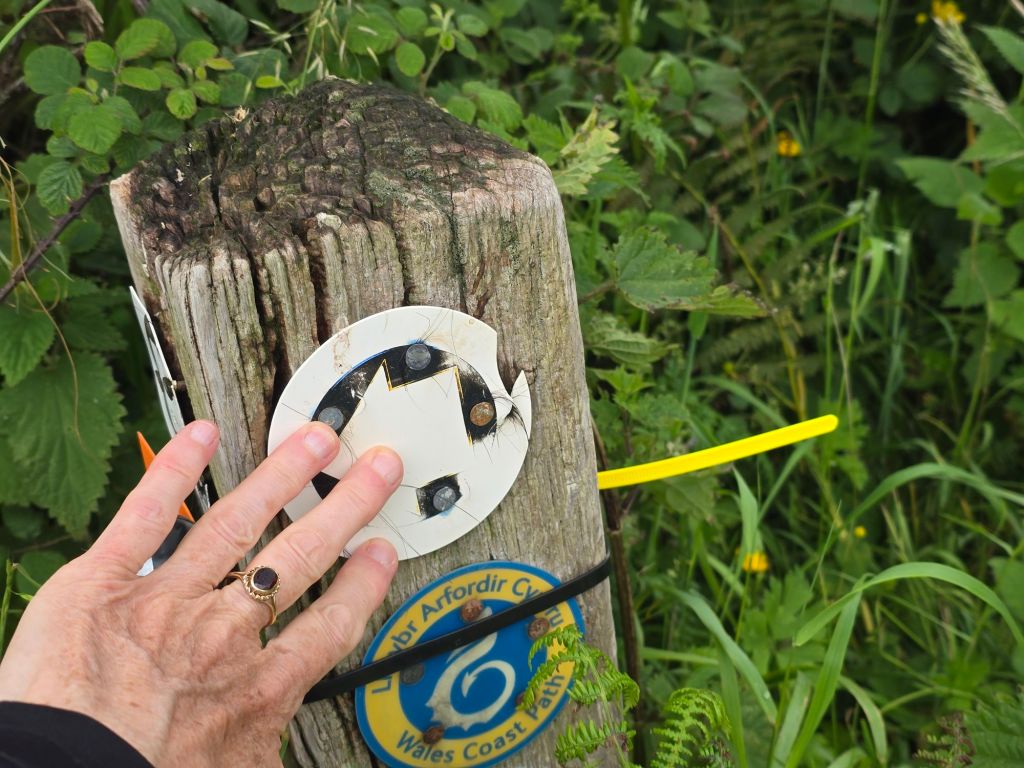
Drove to Southgate in the drizzle and low cloud and was a bit dubious about setting off! However I reconnected with the touching point/coast path sign and did set off. Thankfully the drizzle did stop within about 20 minutes, and I was accompanied by a selection of dog walkers in rather misty conditions obscuring the view. I was well wrapped up in waterproofs!
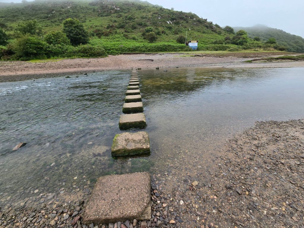
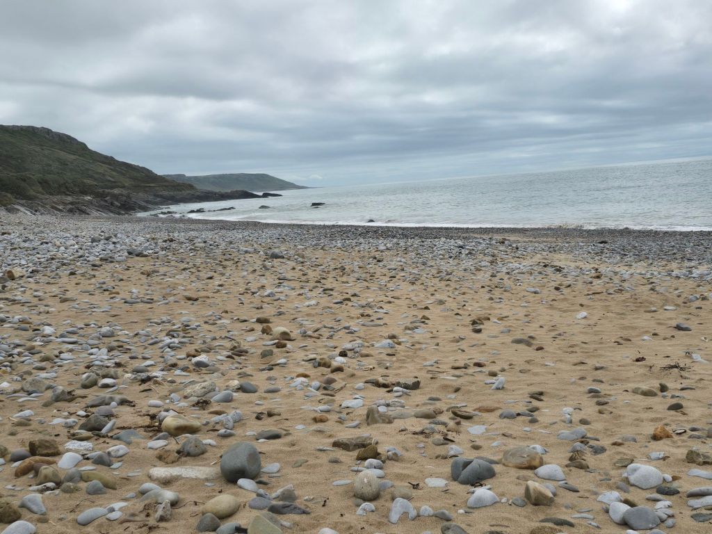
After about a mile the path became more sandy. I stopped for a drink just before this. The section in Pennard burrows began (sand dunes by another name!). Descent in sand was very welcome on a day when other forms of descent were more difficult and slippery. The path did several ups and downs, and it was tricky on the soft sand to get traction going up! The path took a cut inland and across a virtually empty stream. I managed to successfully navigate to the stepping stones across the Pennard Pill, and managed to cross these without mishap. On occasion they were spaced for someone with a longer stride than me. I stopped for a breather and a snack on the steps by the coastguard shack, and started to see more people and dogs at this point.
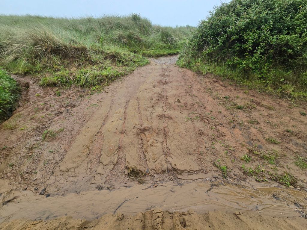
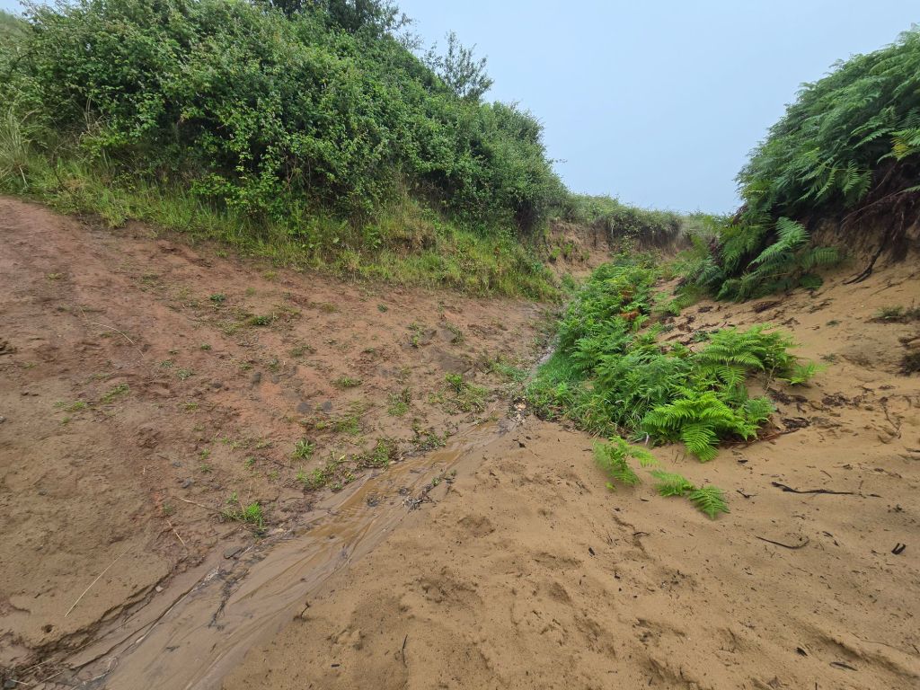
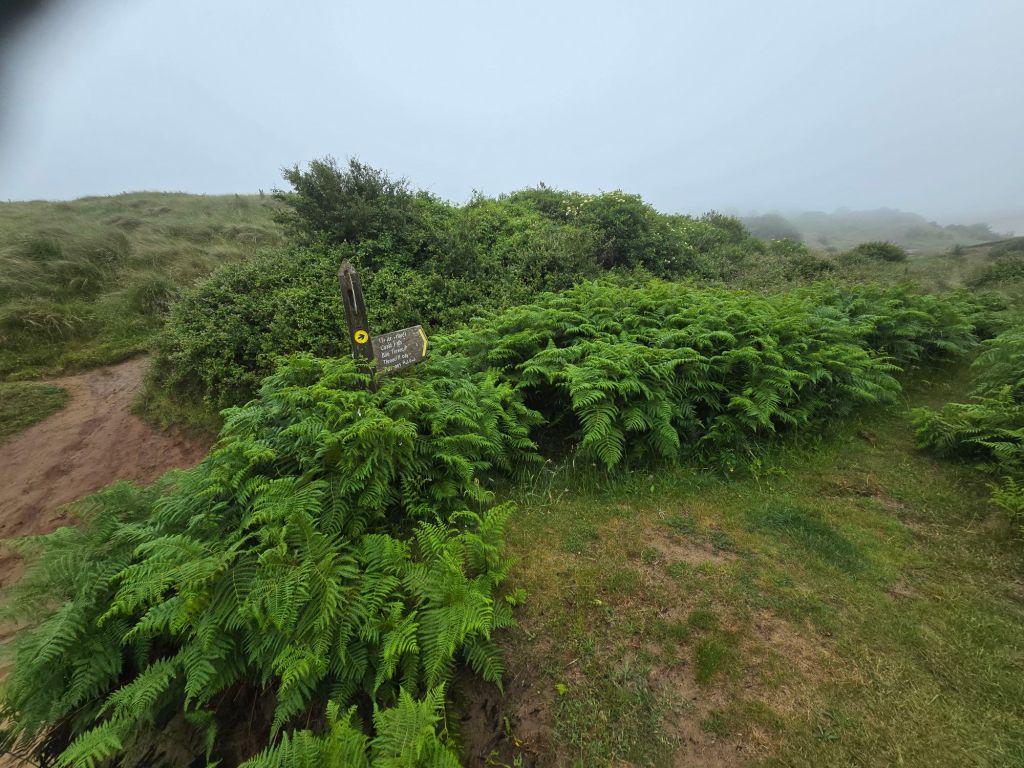
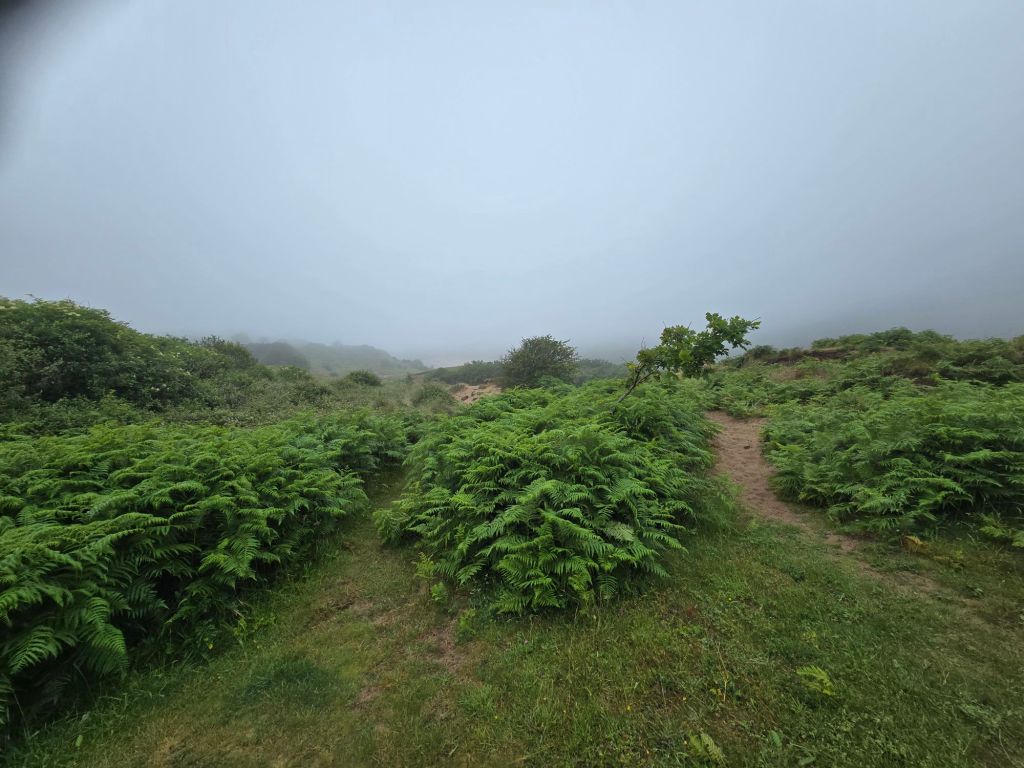
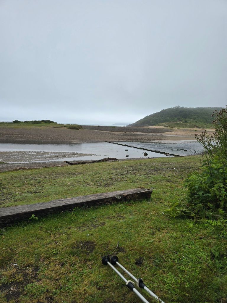
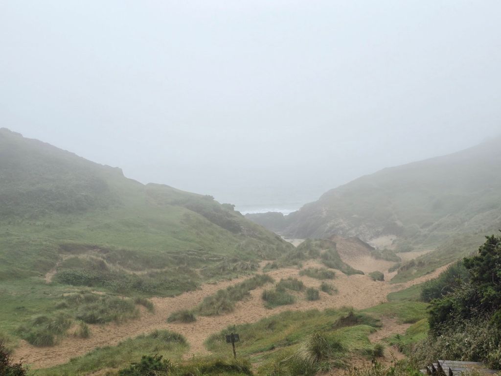
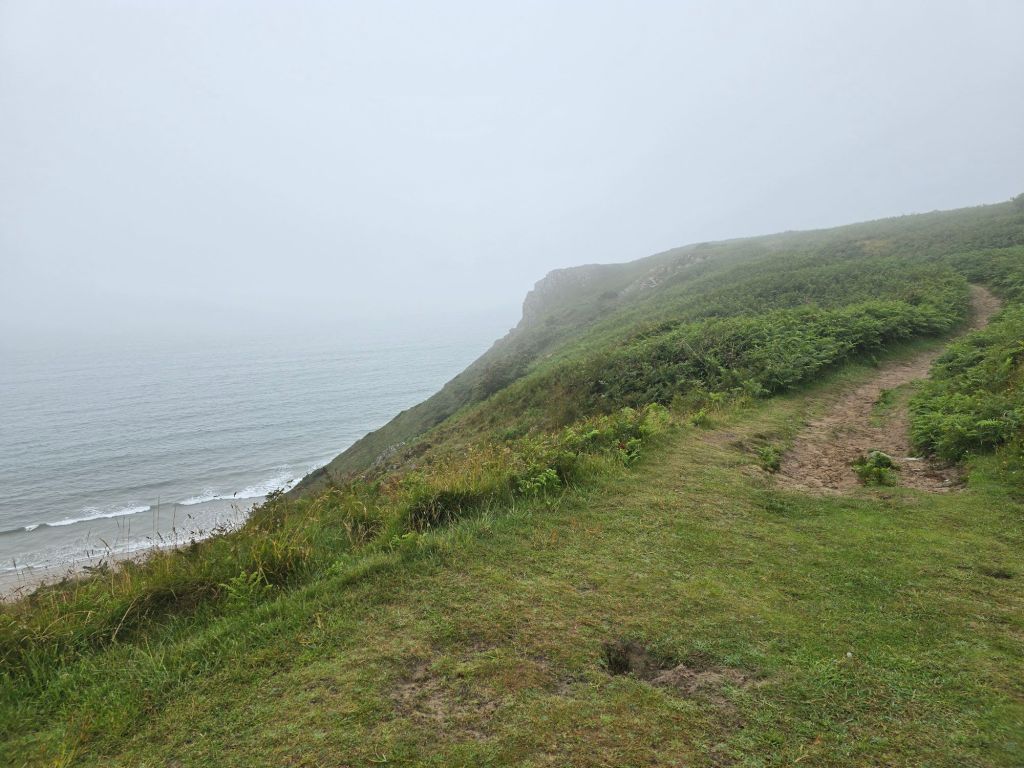
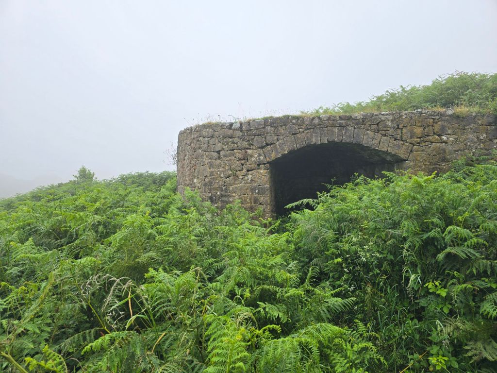
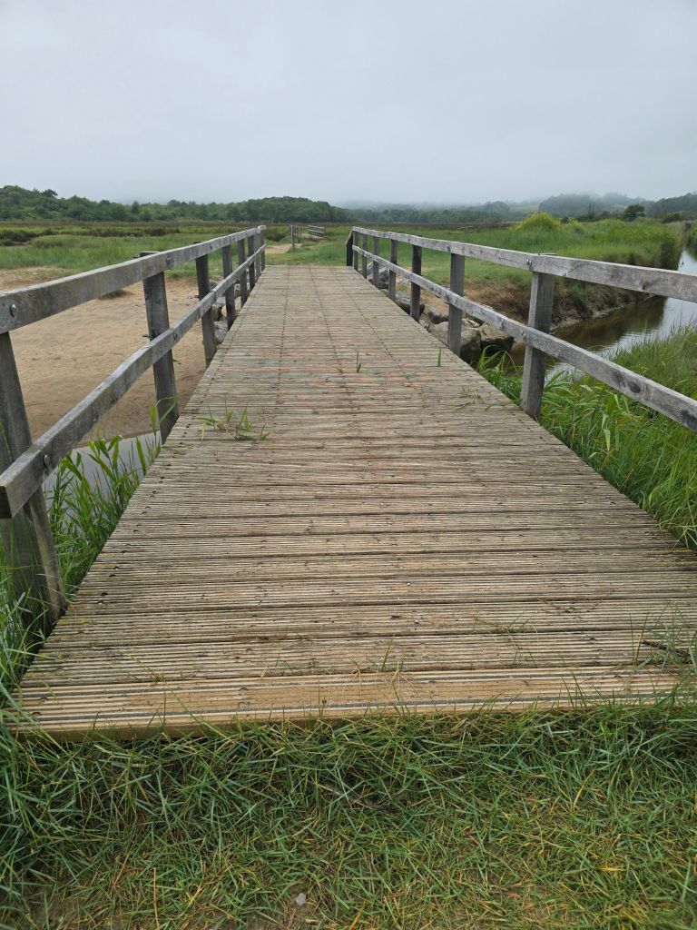
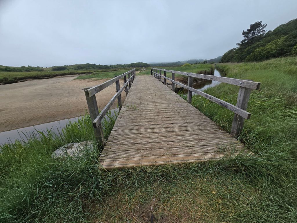
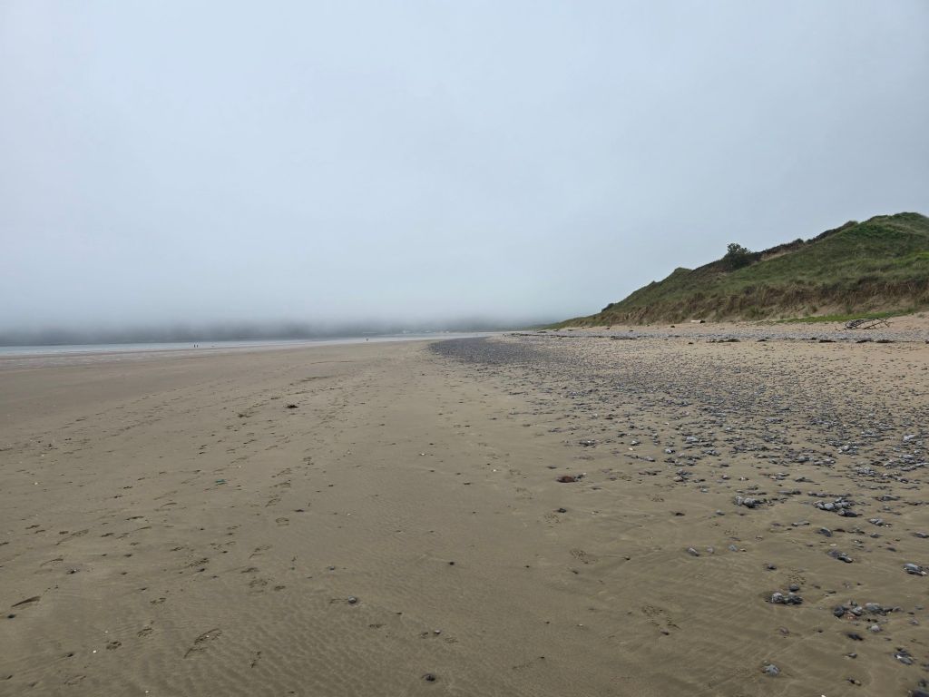
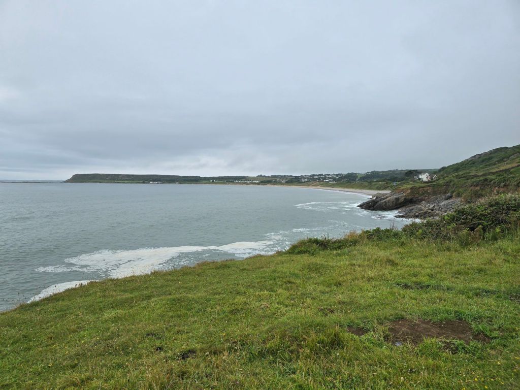
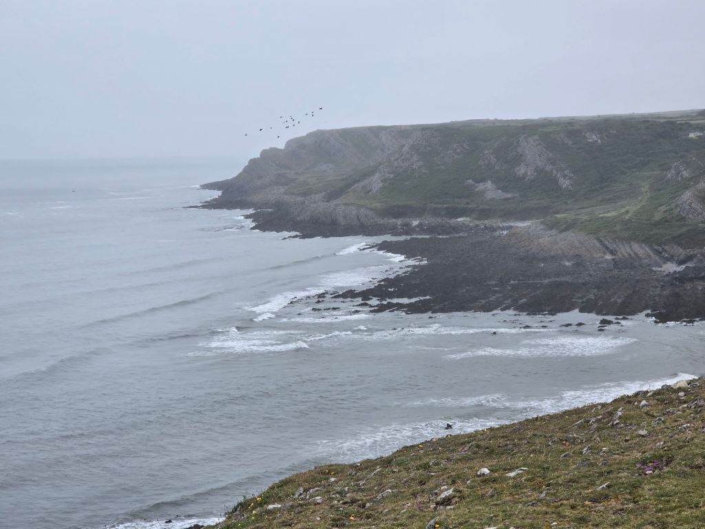
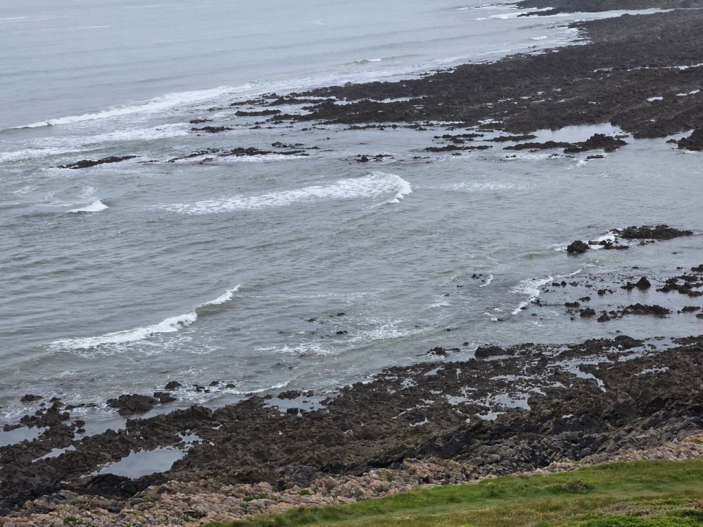
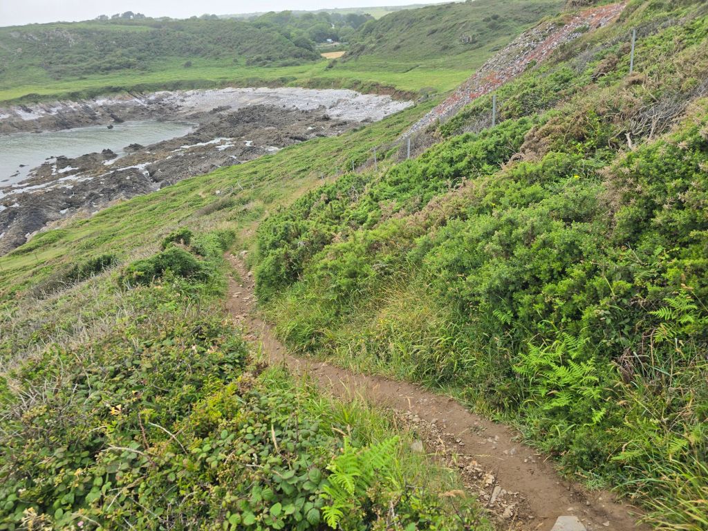
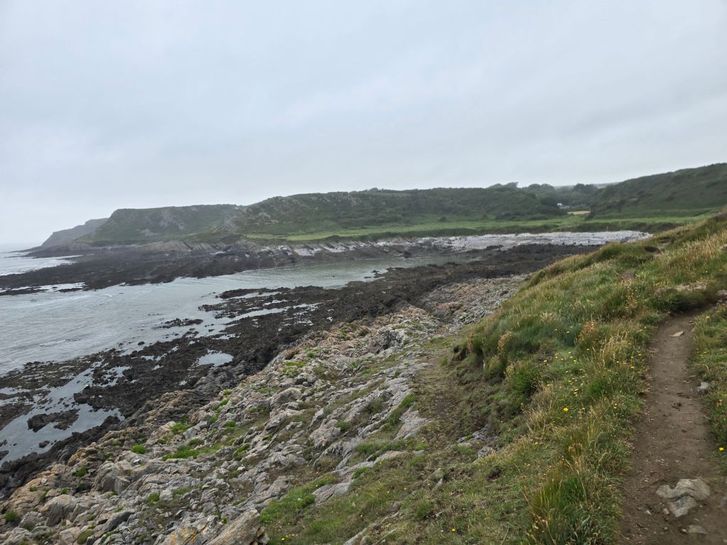
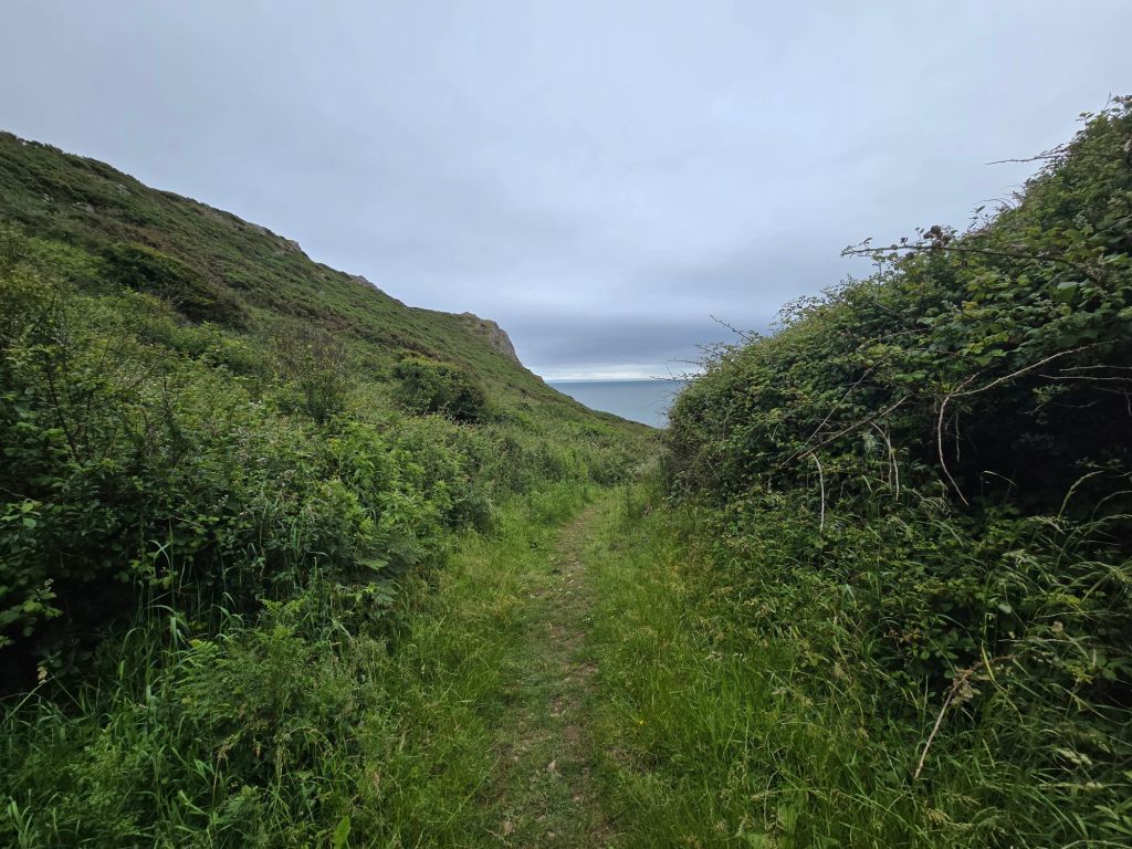
After a short section dropping in and out of the bay and woodland – densely wooded steep sandy ascent was required – which took a while, and up on to more substantial territory of Penmaen Burrows. There were intermittent fine views over the beach and some sections in very dense woodland. It eventually wound down to sea level and the more sandy terrain of Nicholaston Burrows. The guide book had been a bit iffy about the existence of the footbridge over the pill, but in fact 2 substantial footbridges enabled me to cross readily. I rather wished I had decamped to the beach sooner (as I think I could have crossed the streams on the beach without getting too wet!).
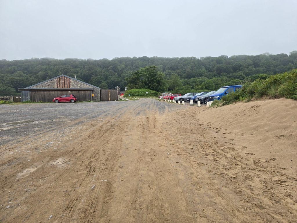
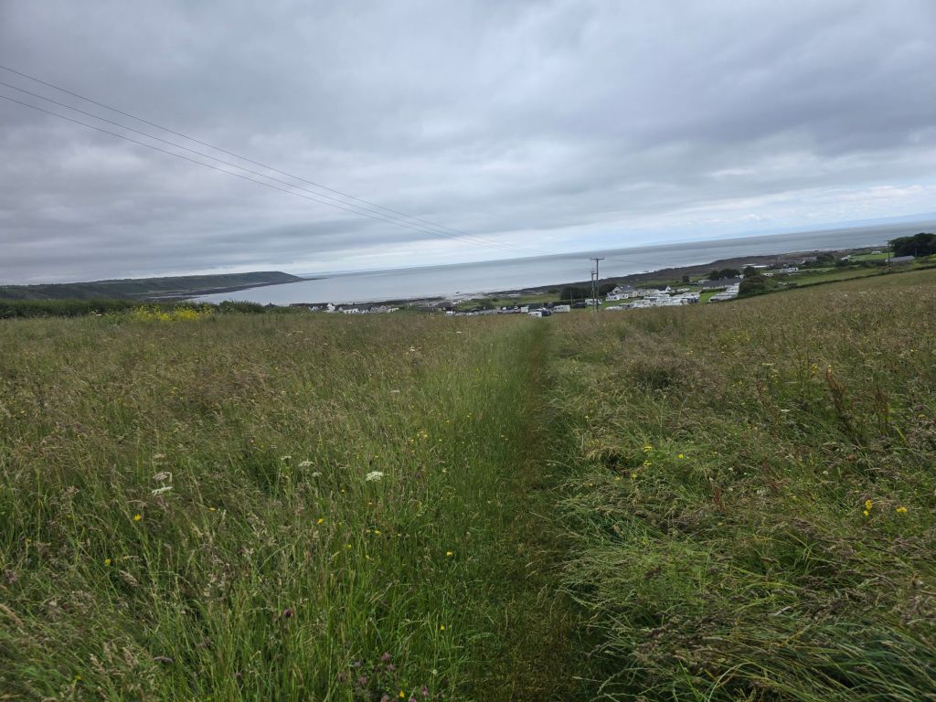
I walked back to the beach, and settled down on a log to eat my lunch. Once I had satisfied my hunger I did the final mile and a half on the wide sandy expanse of Oxwich beach – going into the wind but it wasn’t too bad (and not as strong as it had been earlier in the trip. The café we had used on Sunday was shut but I did use the toilets. I walked out through the car park via my touching point, and frequented the shops near the road, before finding the bus stop – I ate a bit more sitting on a bench in the bus shelter . I got a small adventure bus (117 I think) to connect with the No 14 by stopping at 2 different bus stops by St Mary’s church in Pennard. I had to have a discussion with the first driver about which church, the app said one set of names and display in the bus said another!
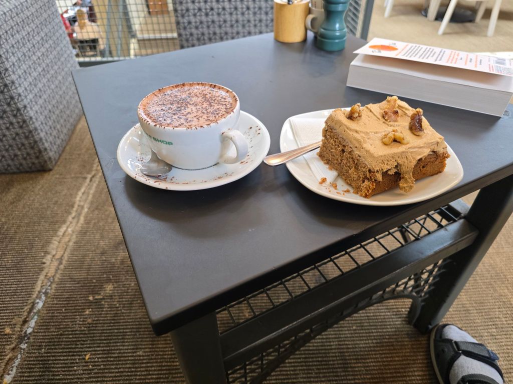
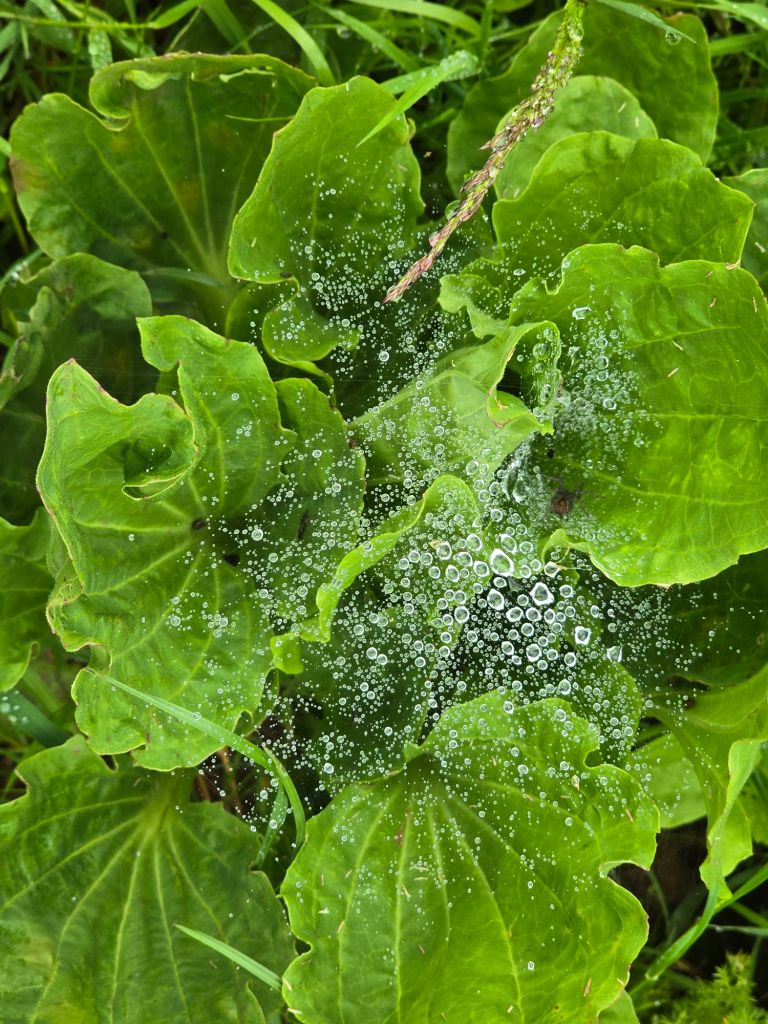
I had a very nice hot chocolate and coffee and walnut cake in the three cliffs café before setting off home. The whole experience was very atmospheric with the cloud and mistiness. I know I couldn’t fully see the views etc, but it was still glorious
Thursday 18th June
Circular walk from Port Eynon
Steps on the trail 9354 (7703 off) – Miles on the trail 4 (3.31 off!)
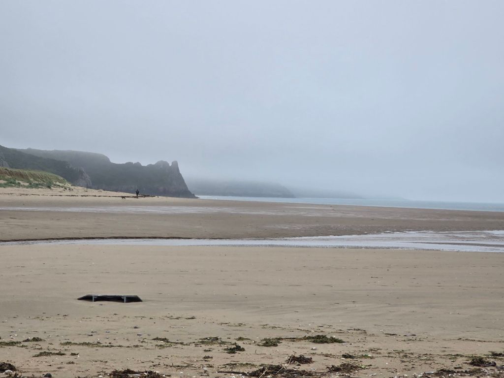
I drove to Port Eynon, and set off to reach the point Athene and I had joined the coast path on Sunday – about 2 miles from Port Eynon to join the dots. I got close to where we had come out – and the ploughed field and didn’t do the very overgrown path. I reached for the touching point about 50 yards away! I had discovered that the ordnance survey map app does show symbols for when things are overgrown! I met several people on the path, including 2 Americans from South Carolina. I stopped for a breather on a log on the beach at Horton.
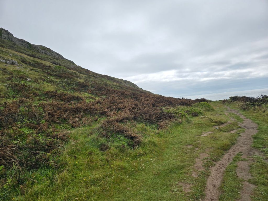
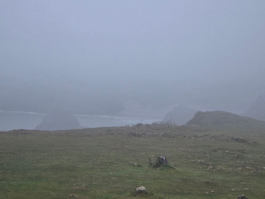
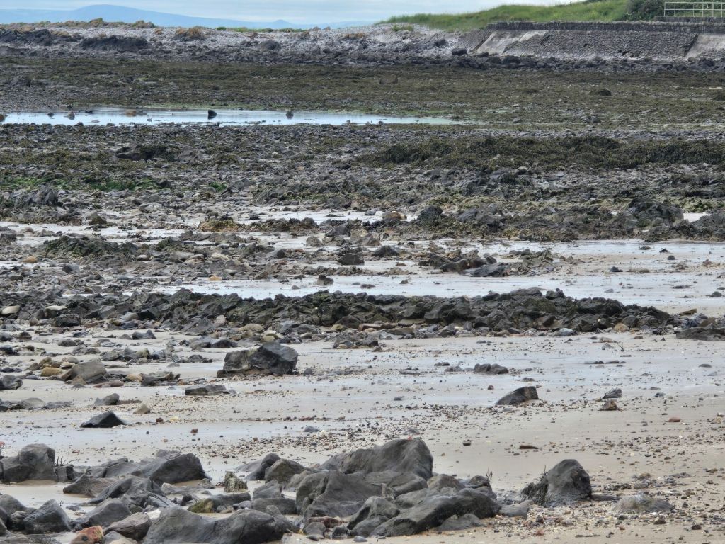
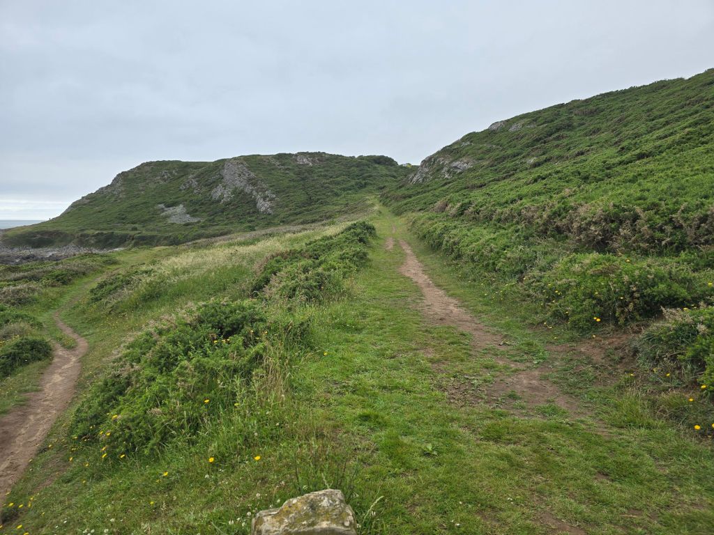
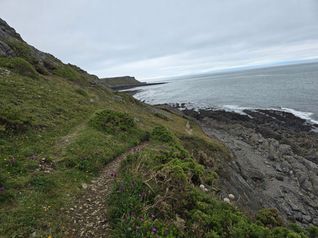
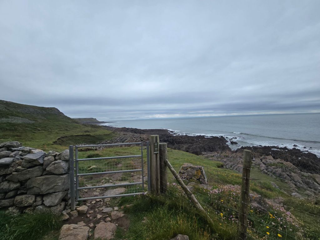
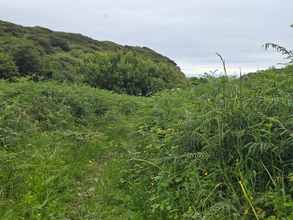
I walked across the bay initially on a stony beach which became more sandy. There was a flock of small wading birds which I was about to take a picture of when one of the many dogs scared them off! I climbed off the far end of the beach into an enclosed path, which climbed up towards the headland. The path was very stony and slippery and I was glad I was ascending it rather than coming down. It was a stiff climb up to the Port Eynon point. I stopped at the memorial for a second break, and ended up taking photos of the inevitable Duke of Edinburgh expedition group of girls who arrived as I was leaving. I also explained the whereabouts of the Culverhole to another walker! There was a short section on the headland -before a very steep, and rocky descent on the far side, which I did slowly and carefully (vowing not to go back the same way!)
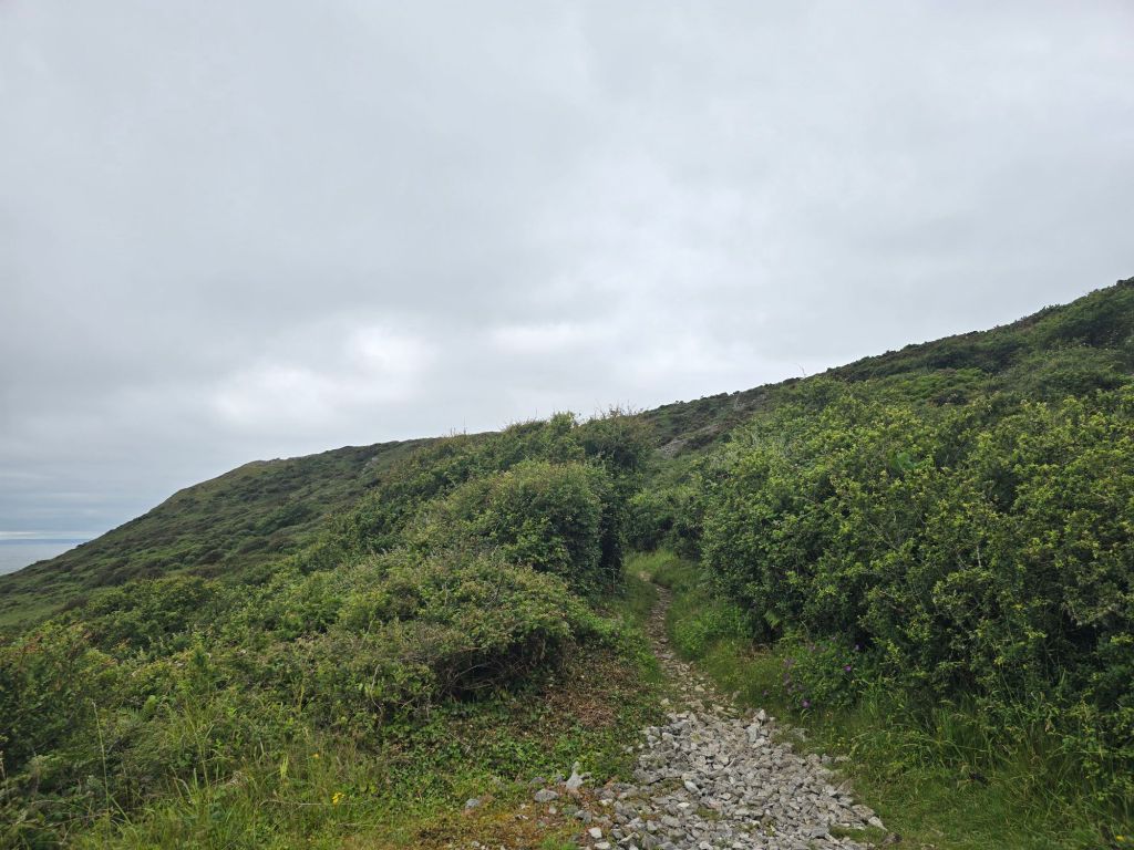
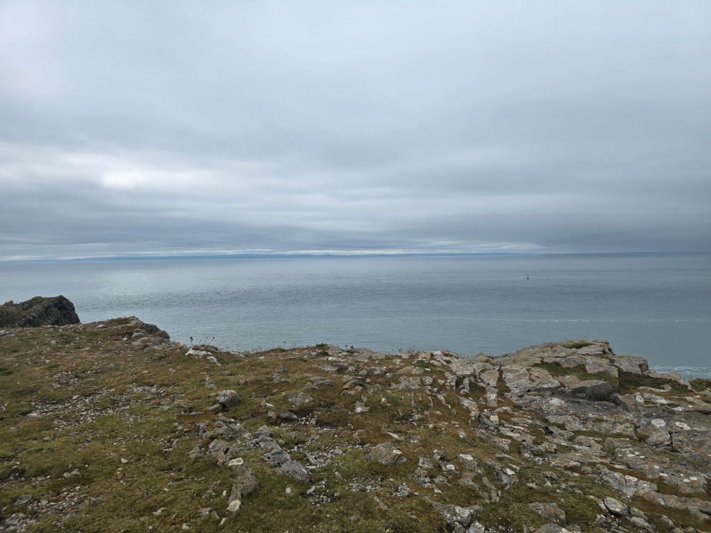

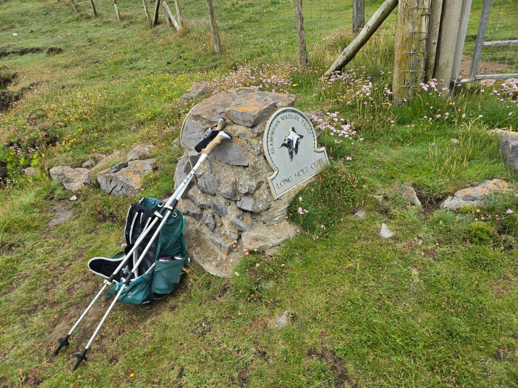
The next section was very dramatic lower around Overton Mere, and getting edgy and higher around Overton cliff. I met a German couple I had seen earlier in the week, and we had a chat about the joys of the coast path. I got to where I was going to cut inland with the path, and stopped for lunch perching on a sign for Long Hole Cliff. I had several conversations at this point, with a man laying the trail for a horrendous sounding run/swim event on Saturday, and another walker staying locally to there.

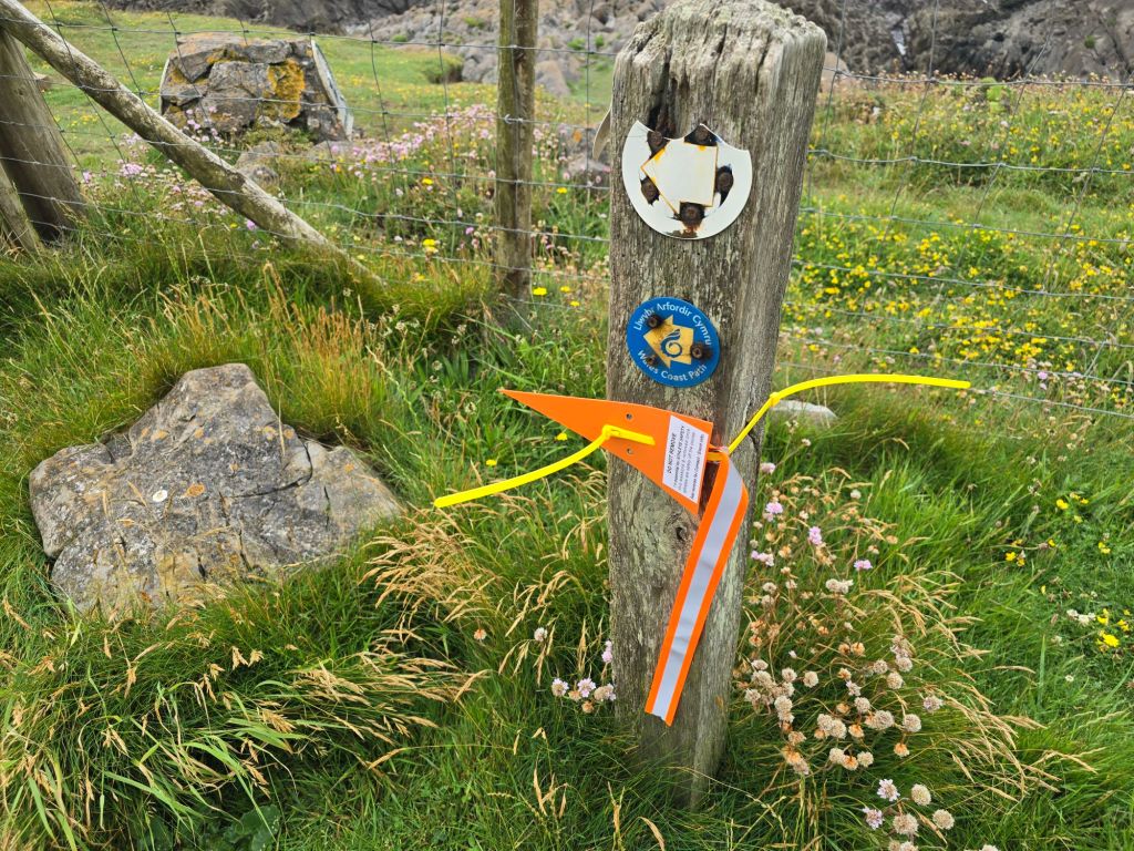
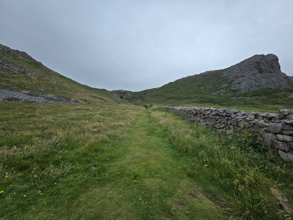
The path cut up through the cliffs, and I set up a touching point, and then headed back to Port Eynon. First on a track and then through the village of Overton. I cut down on a path just before the main road, through fields, down to the car park where the car was. I went to find a café, and saw an adventure bus with yesterday’s driver who gave me a wave!
I did not achieve so many miles on the trail, but will hopefully connect to Rhossli tomorrow.
