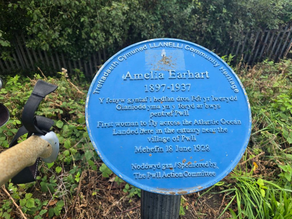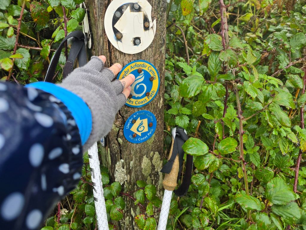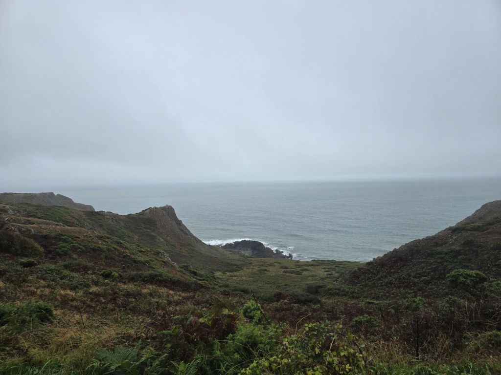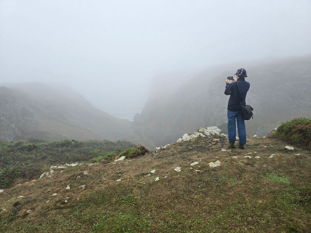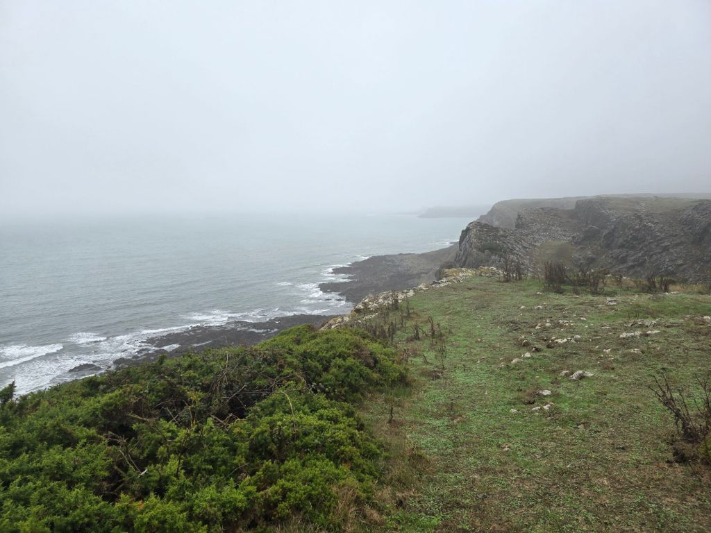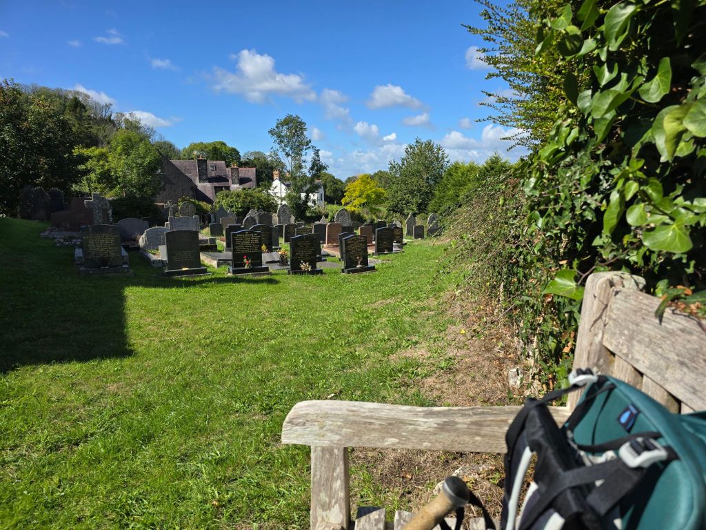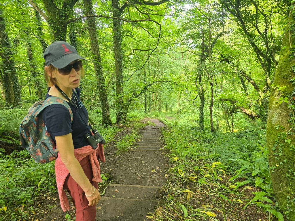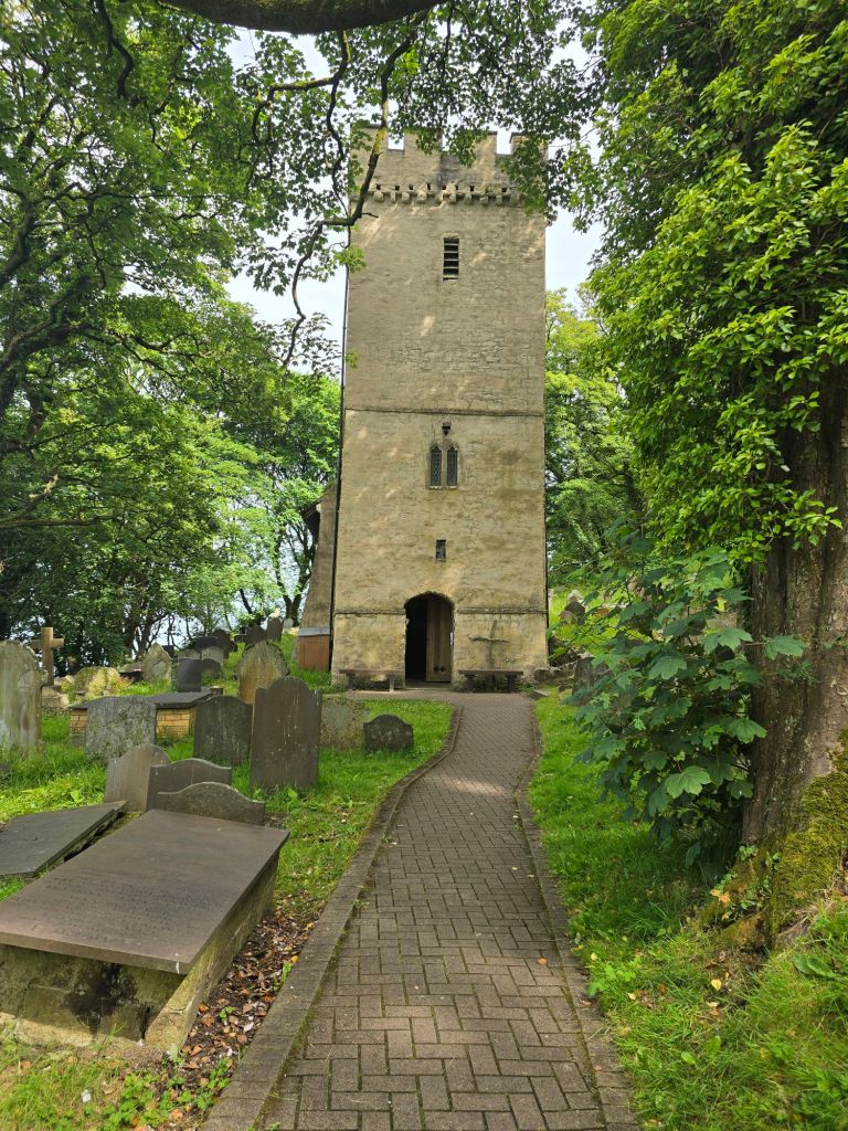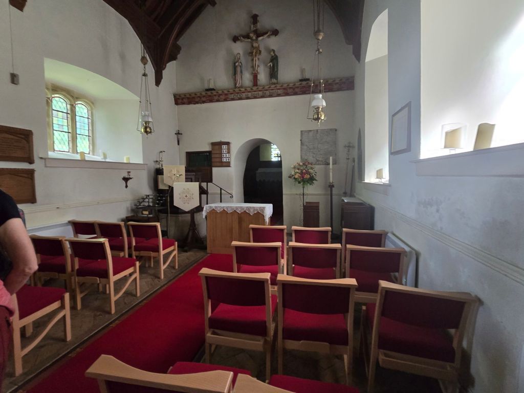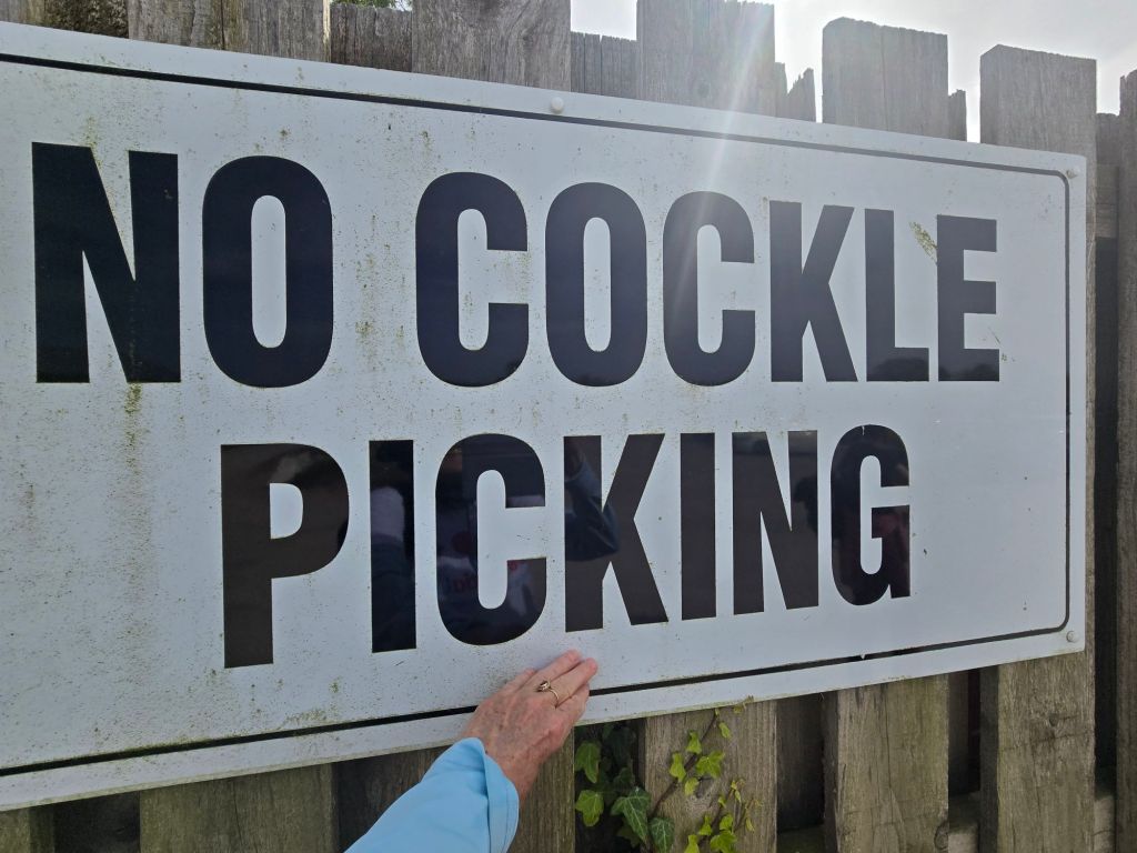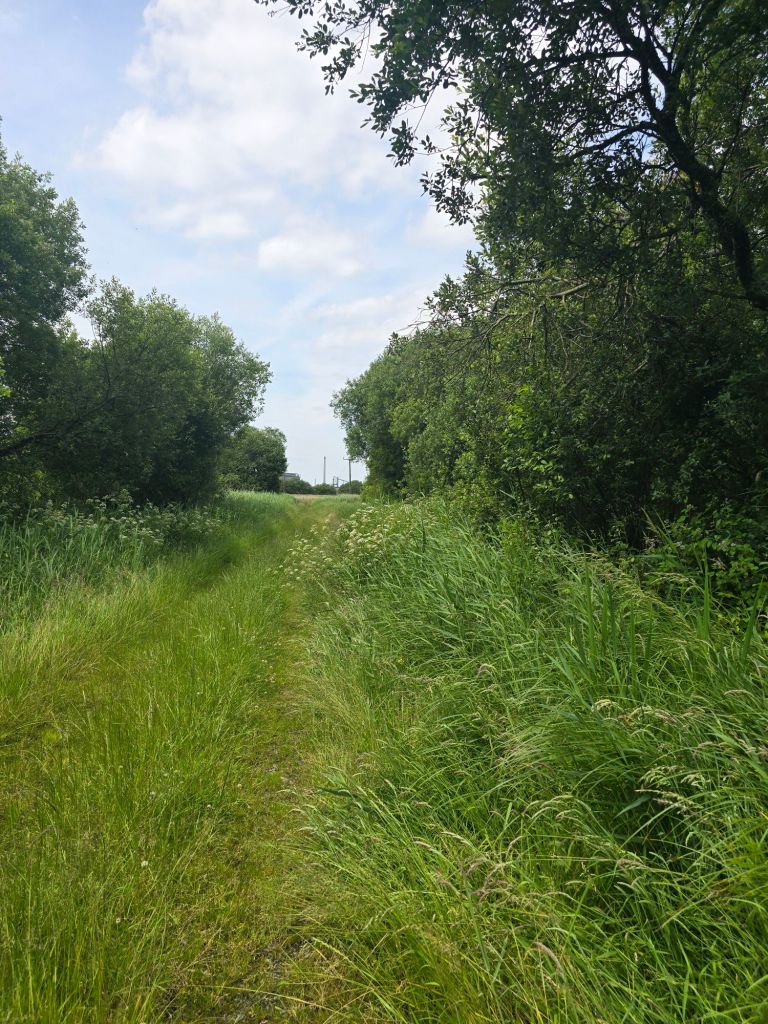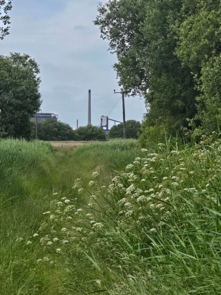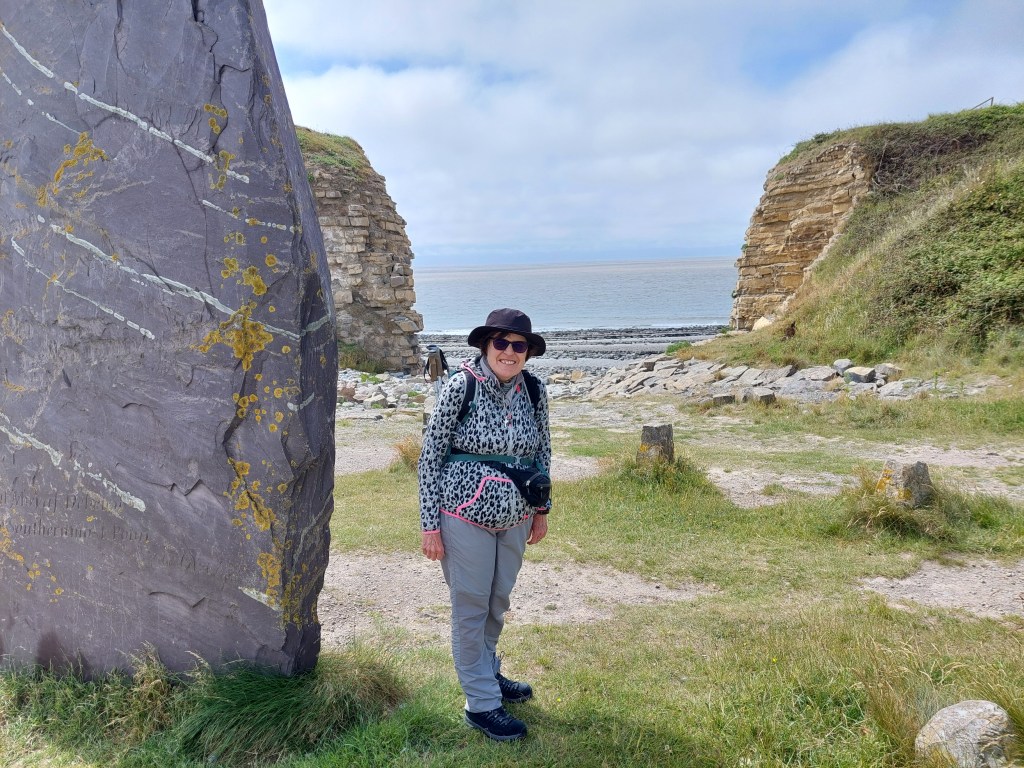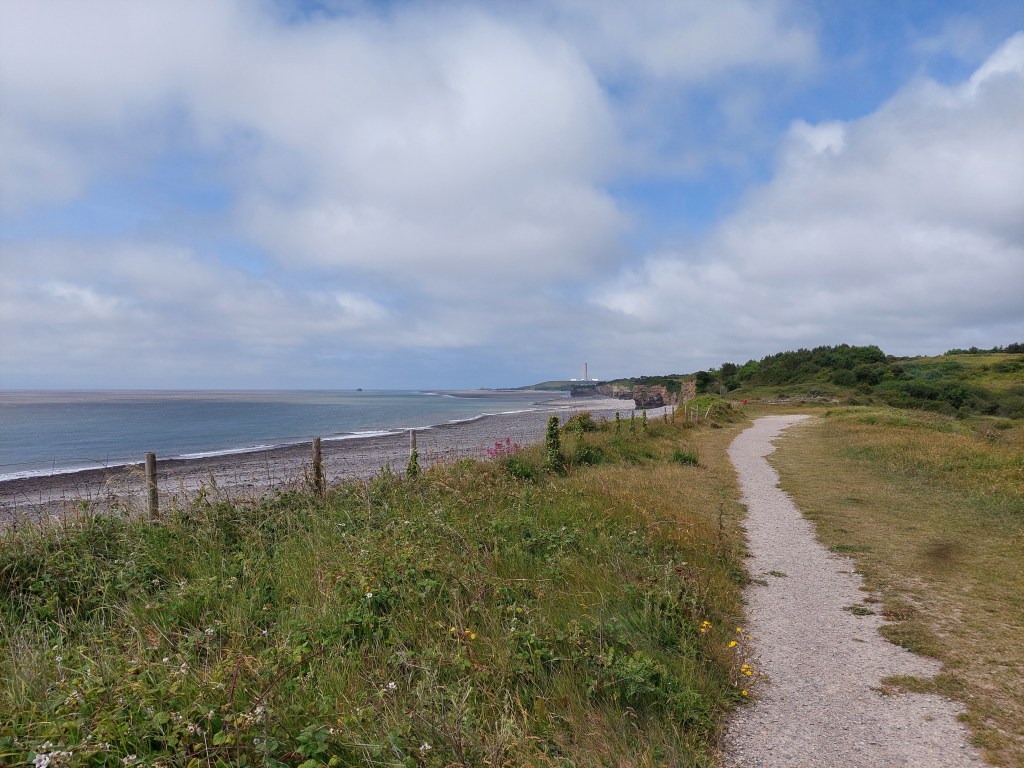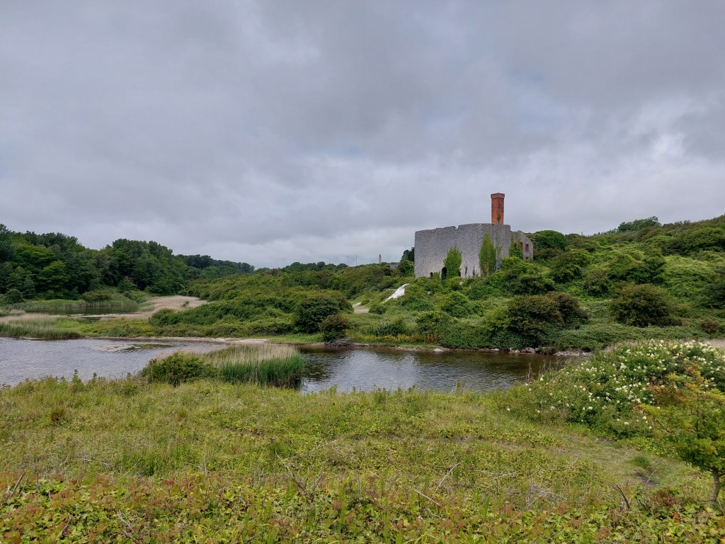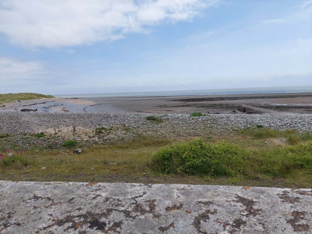
Kidwelly to Llanelli and on the ridge of Fairy Hill

On the trail steps 39281 miles 16 – Off the trail steps 20500 miles 9.6. Total Miles over 3 days 25.6! Overall Wales Coast path total 652 miles!This trip total 88.3 miles

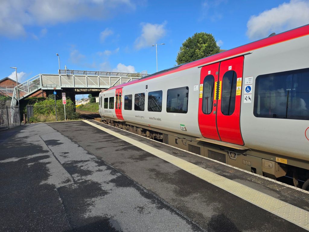
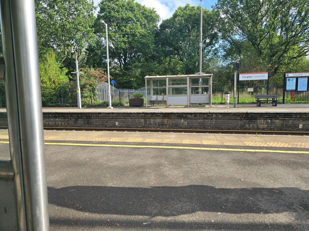
Tuesday began brighter than the last couple of days and I set off for Gowerton to get the train to Pembrey and Burry Port – so I could walk back to Llanelli. All was well and I found a space in a free car park about 3 minutes walk from the station. I had 10 minutes to spare and the train was then a few minutes late. It had come from Crewe and must have started early!

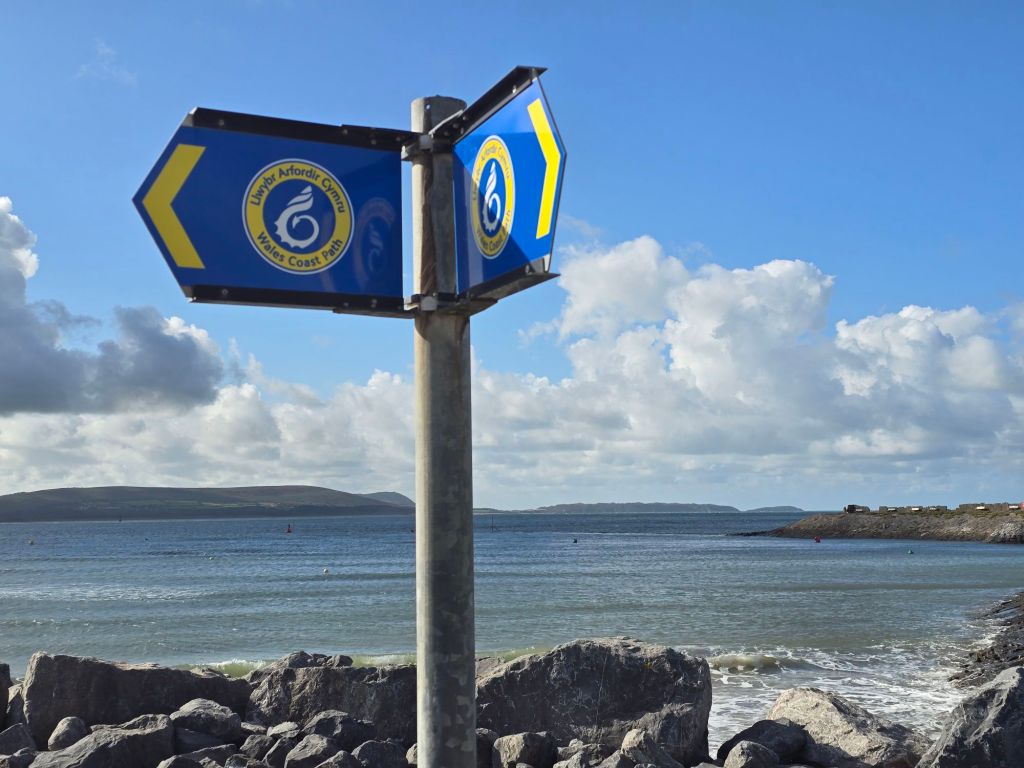
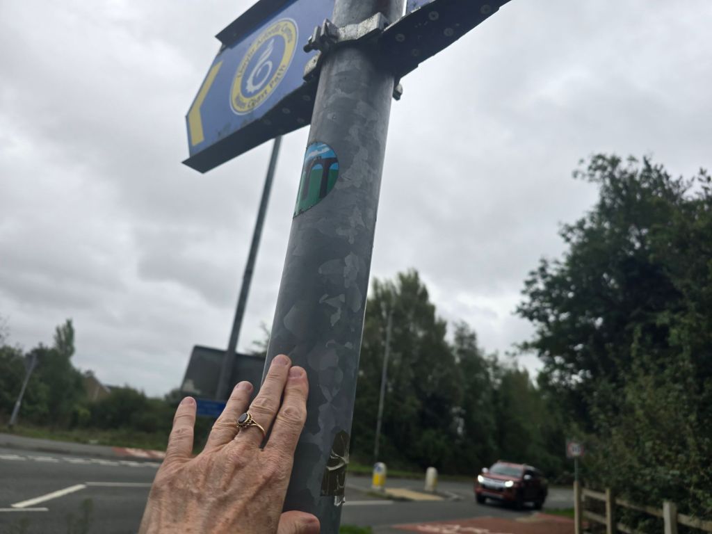
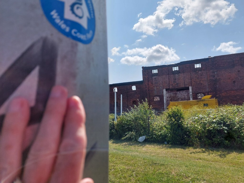
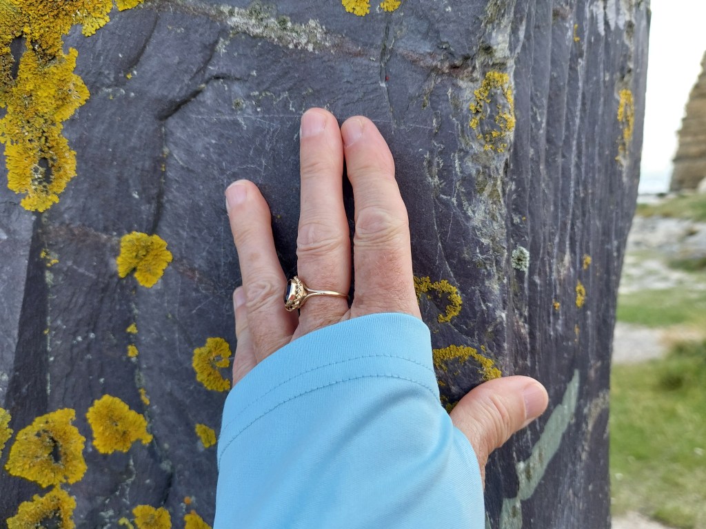
I alighted at Burry Port and it was a short walk to the modern dock to get on the coast path and set up a touching point

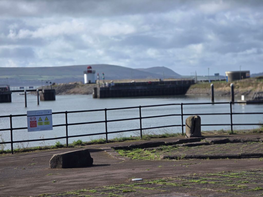
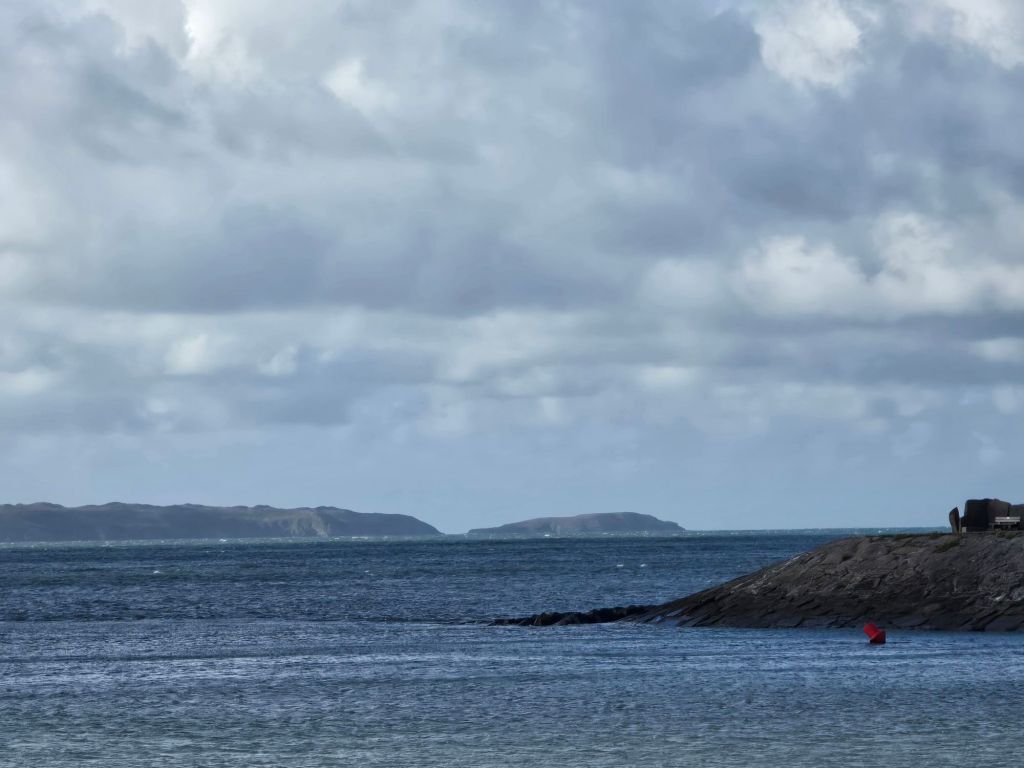
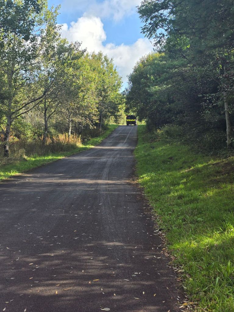
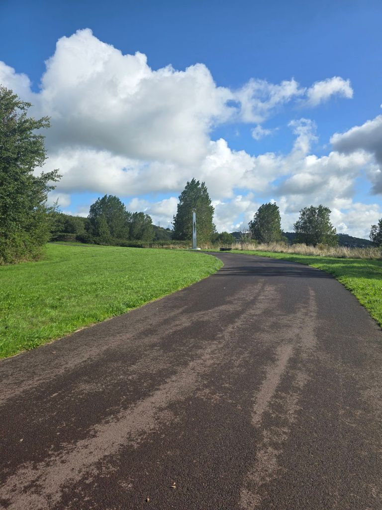
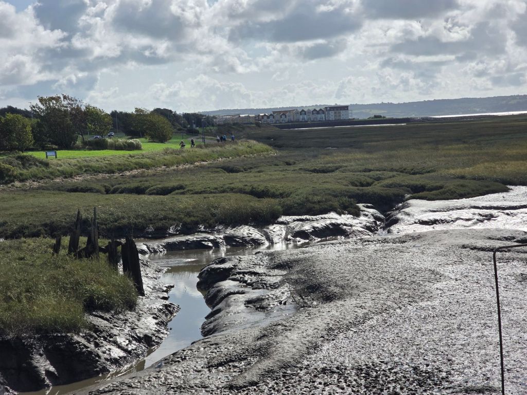
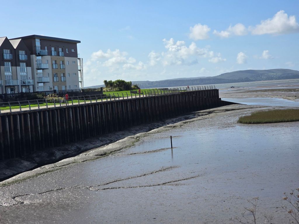
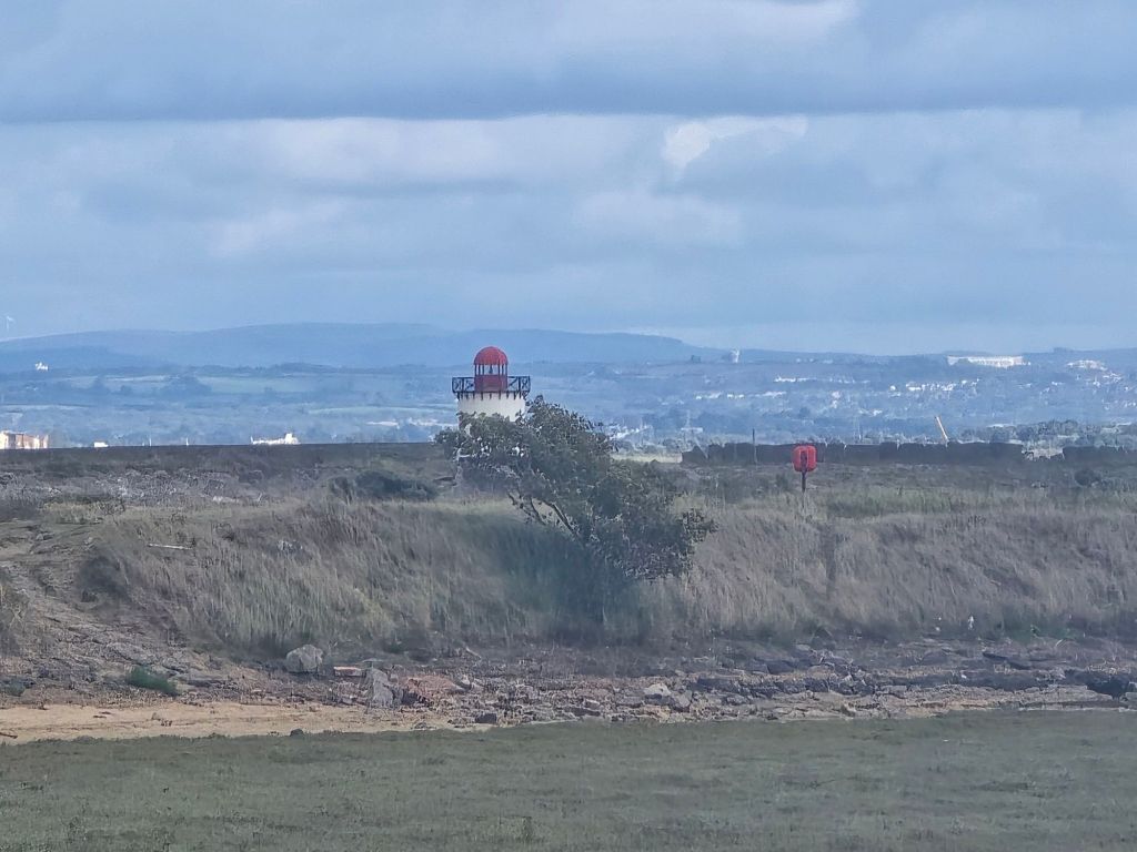
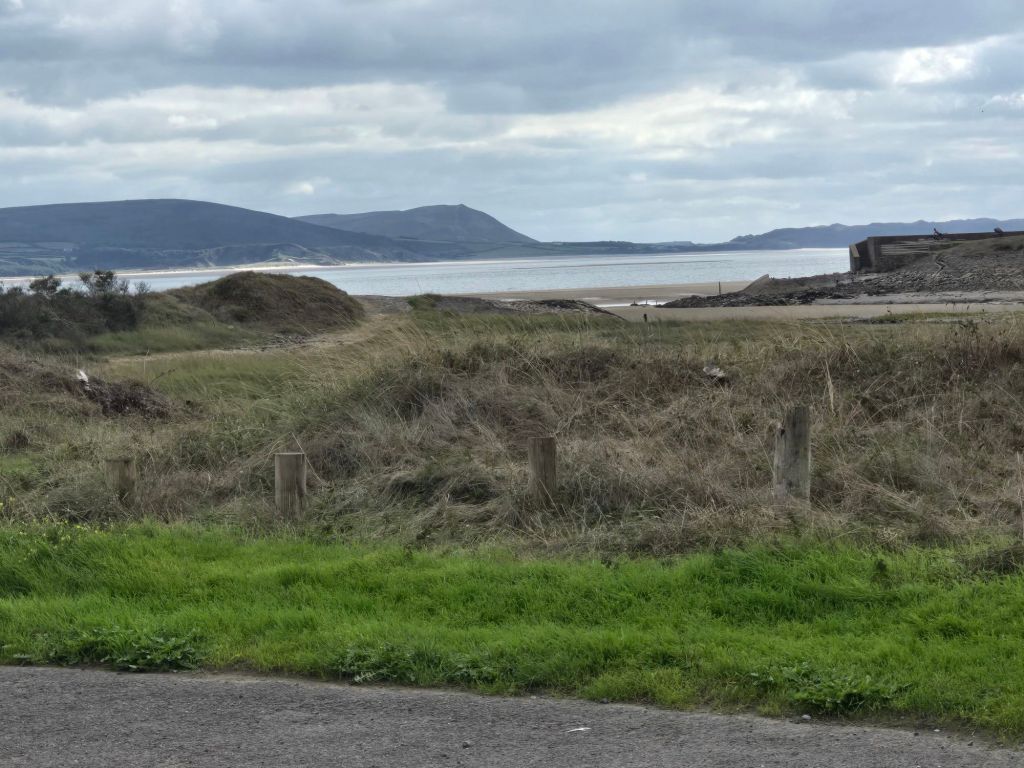
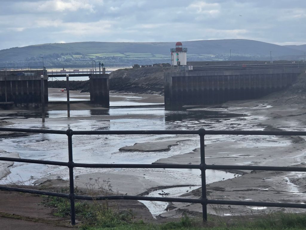
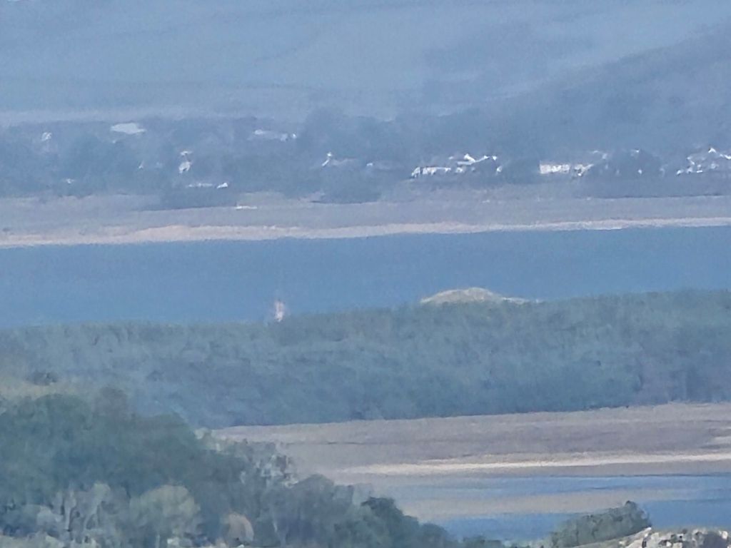
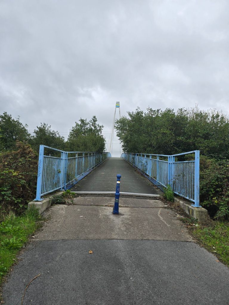
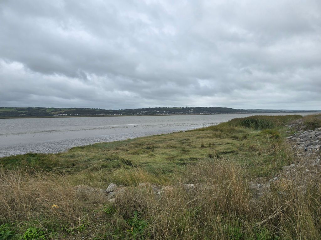
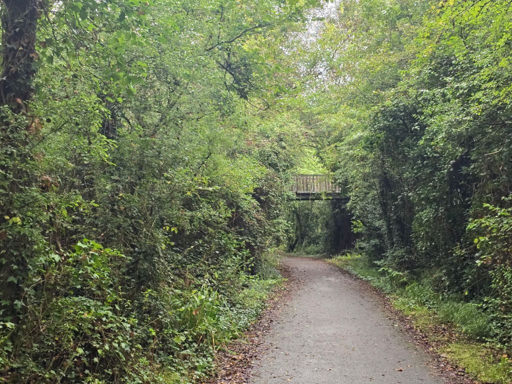
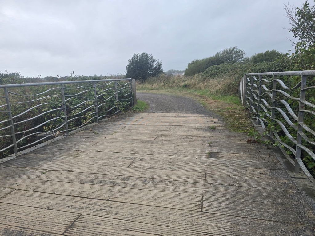
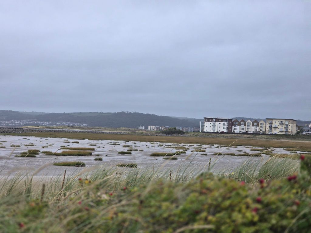
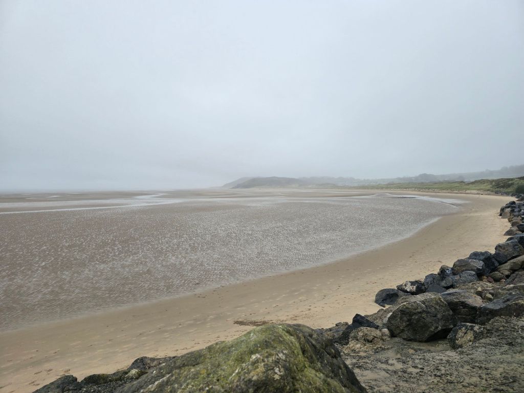
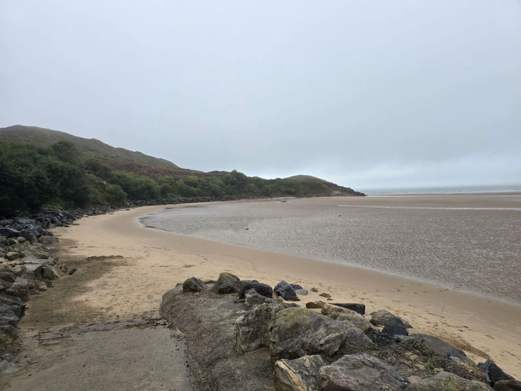
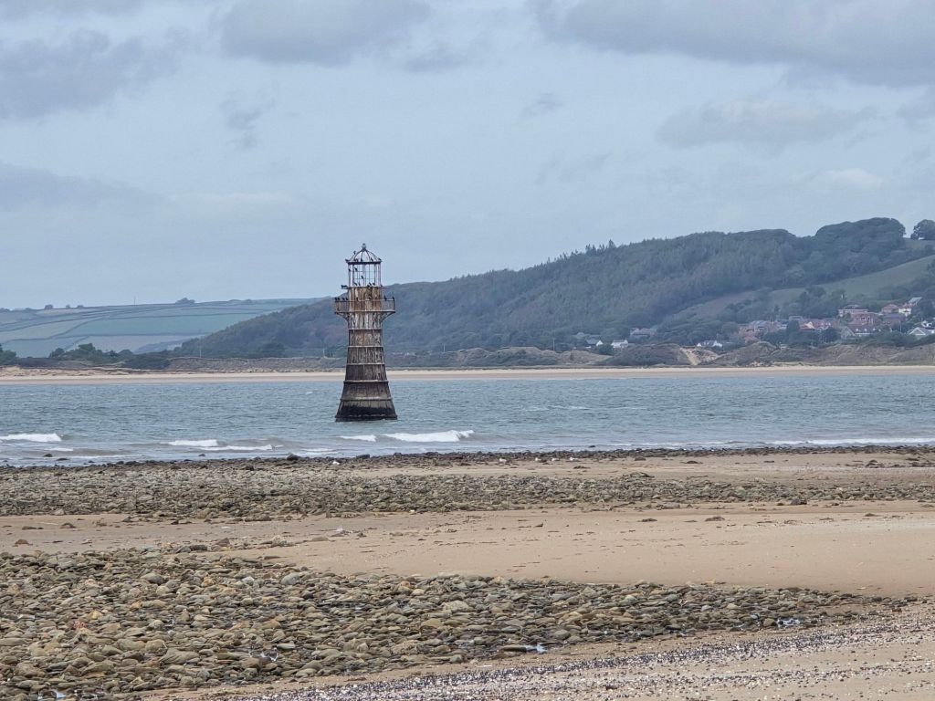
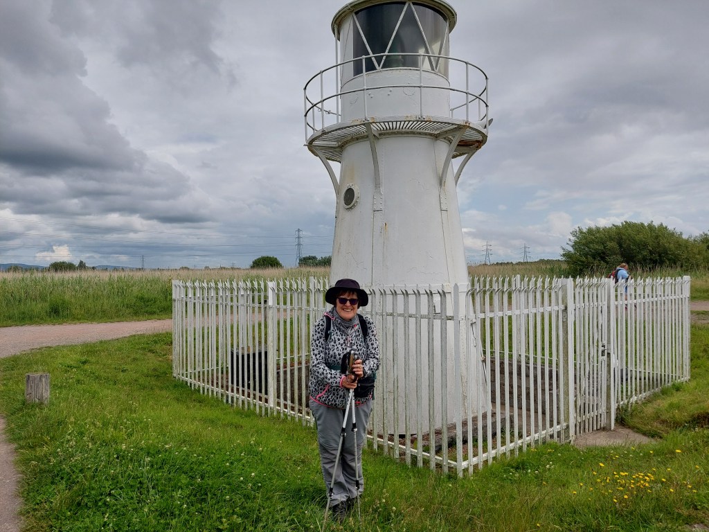
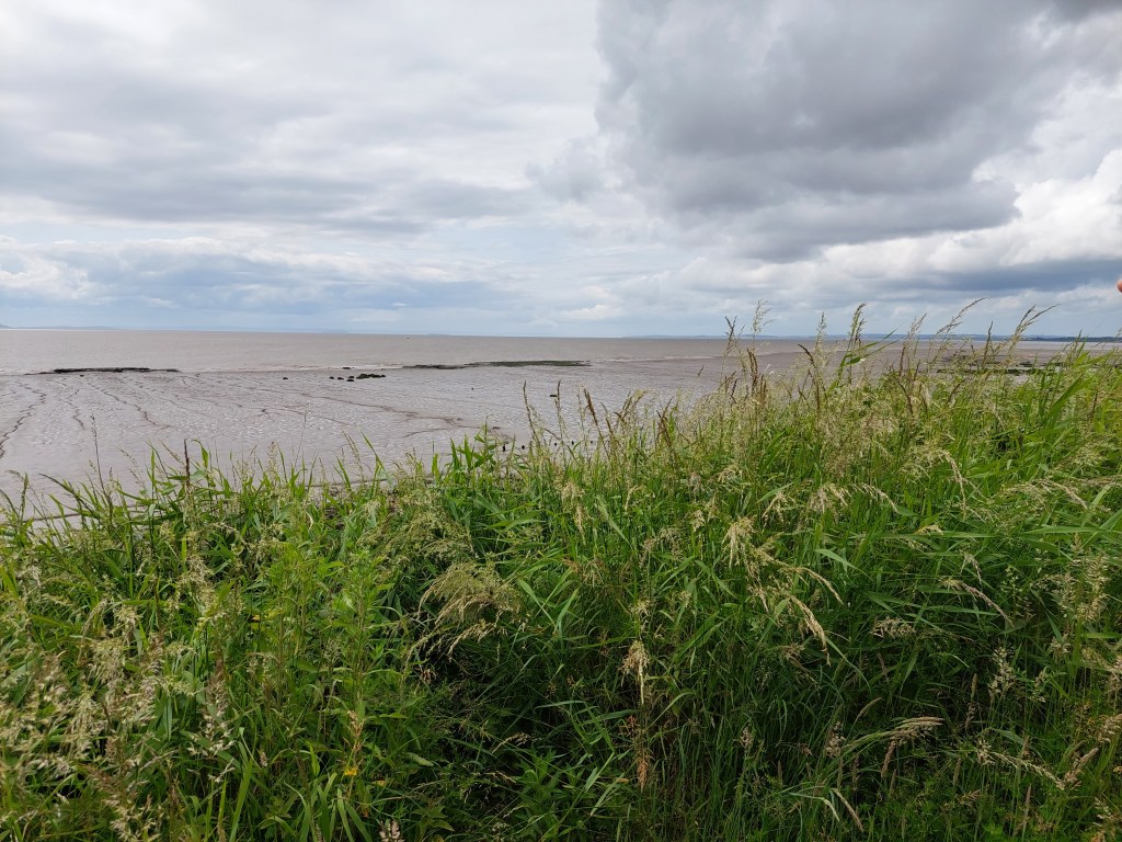
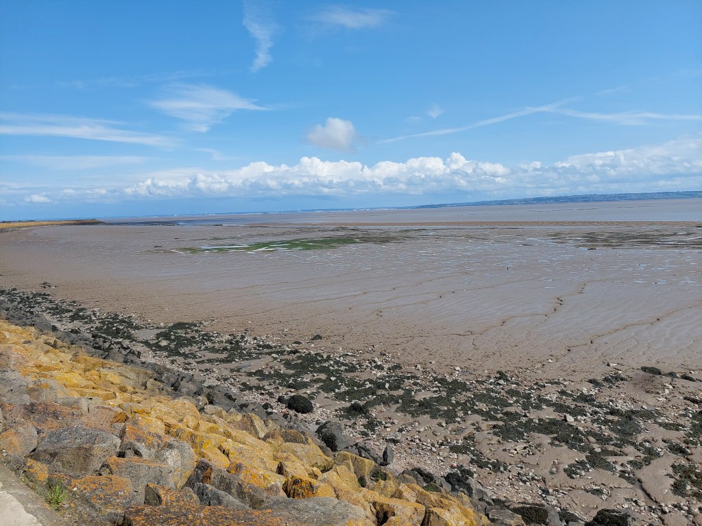
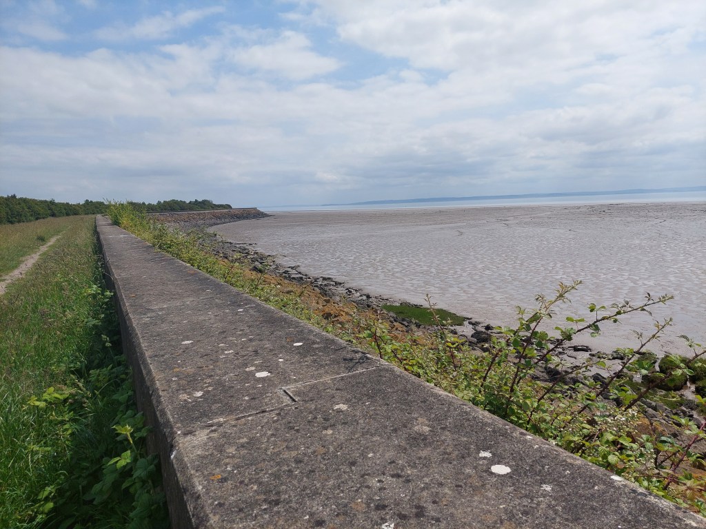
I caught a glimpse of another light house (a short stubby one at the dock) as well as several sightings of the iron one on the way. The vast majority of the going was on the Millenium path/cycleway and was very easy going and with views over the Loughor estuary. I was regularly overtaken and greeted by cyclists and joggers. There was one brief shower of rain as I stopped for a coffee.
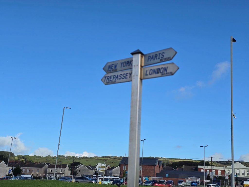
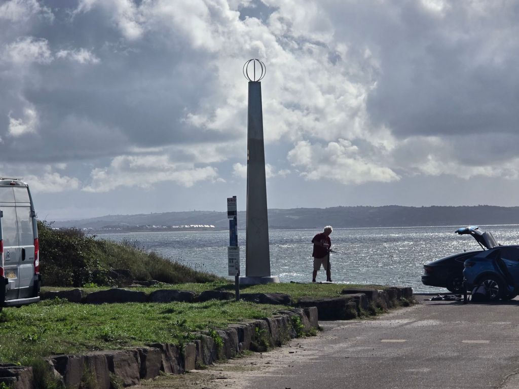
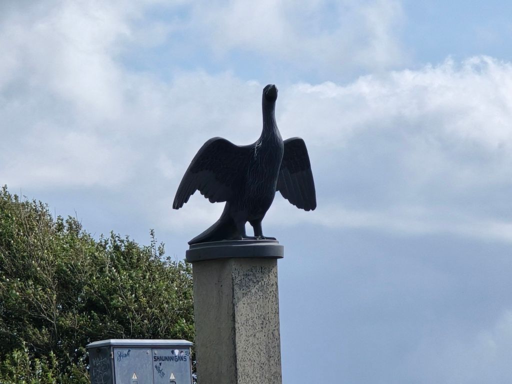
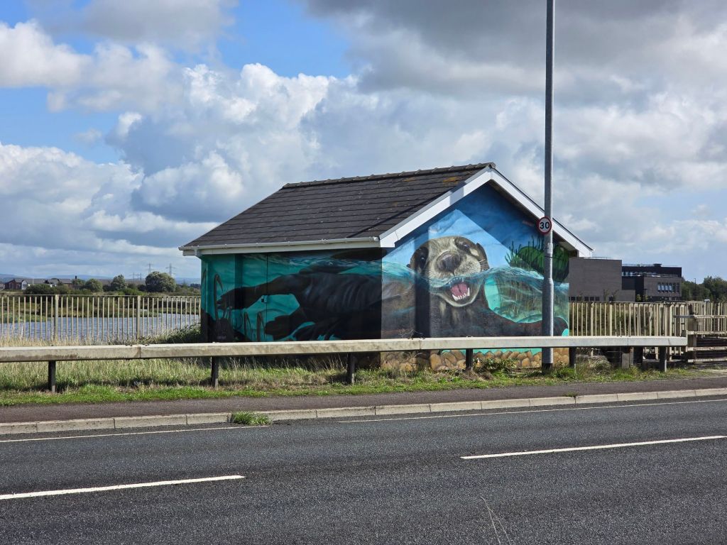
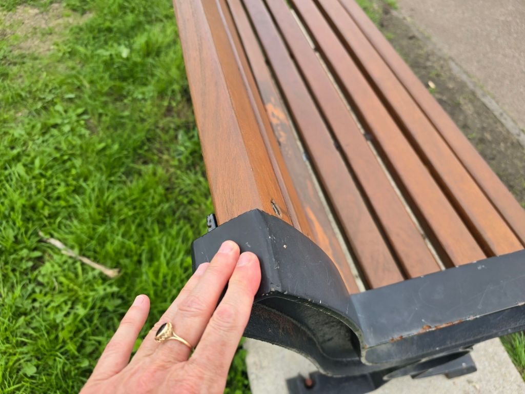
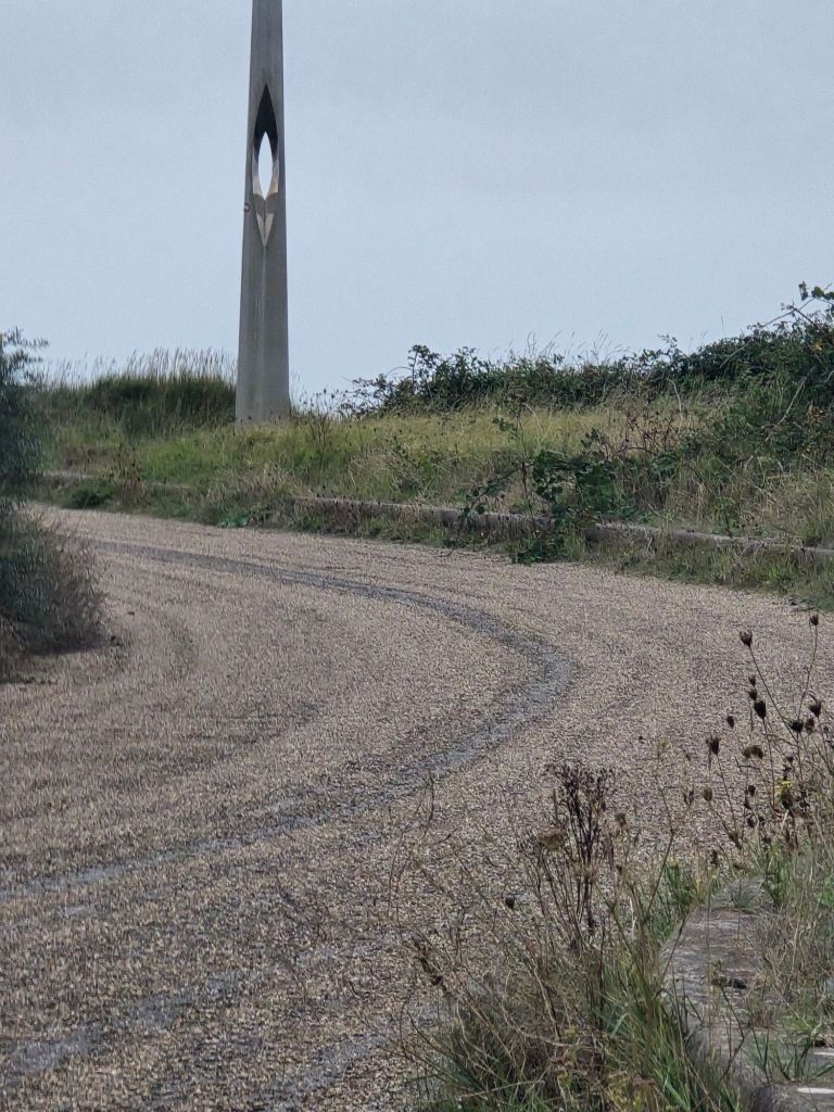
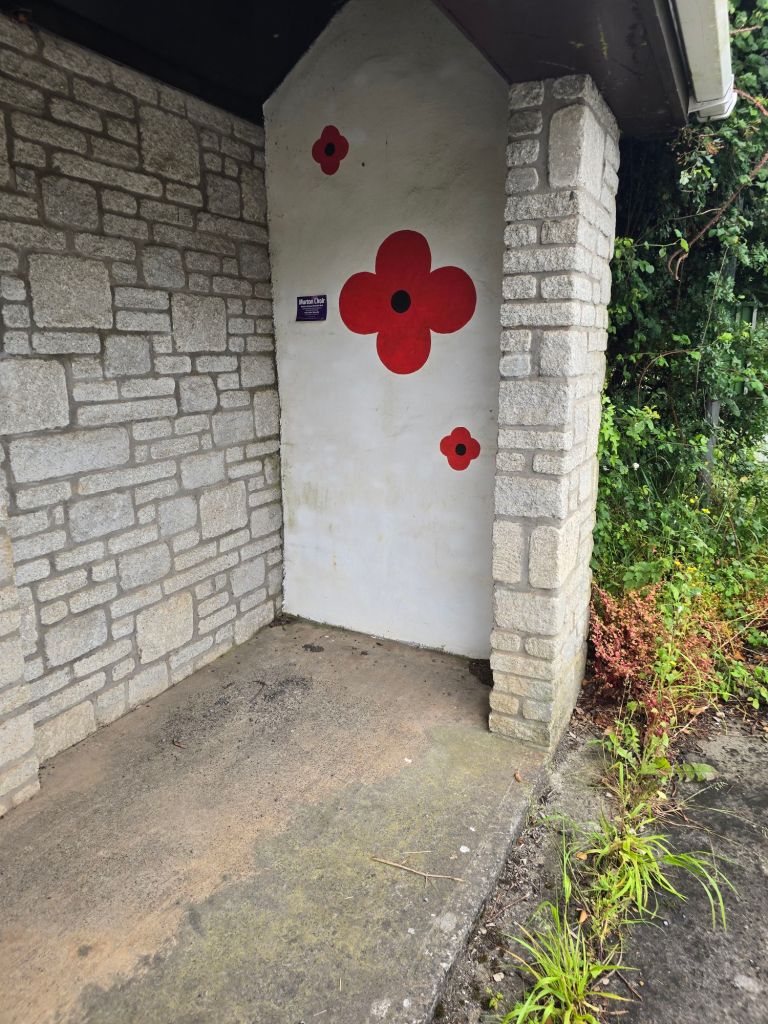
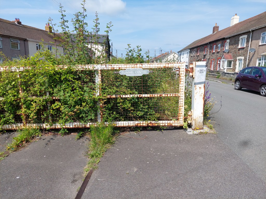
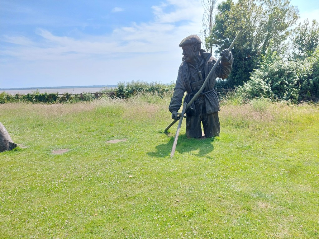
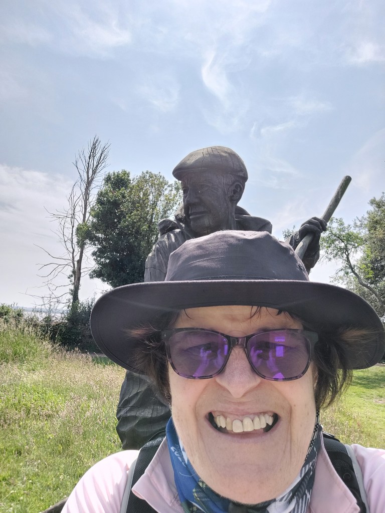
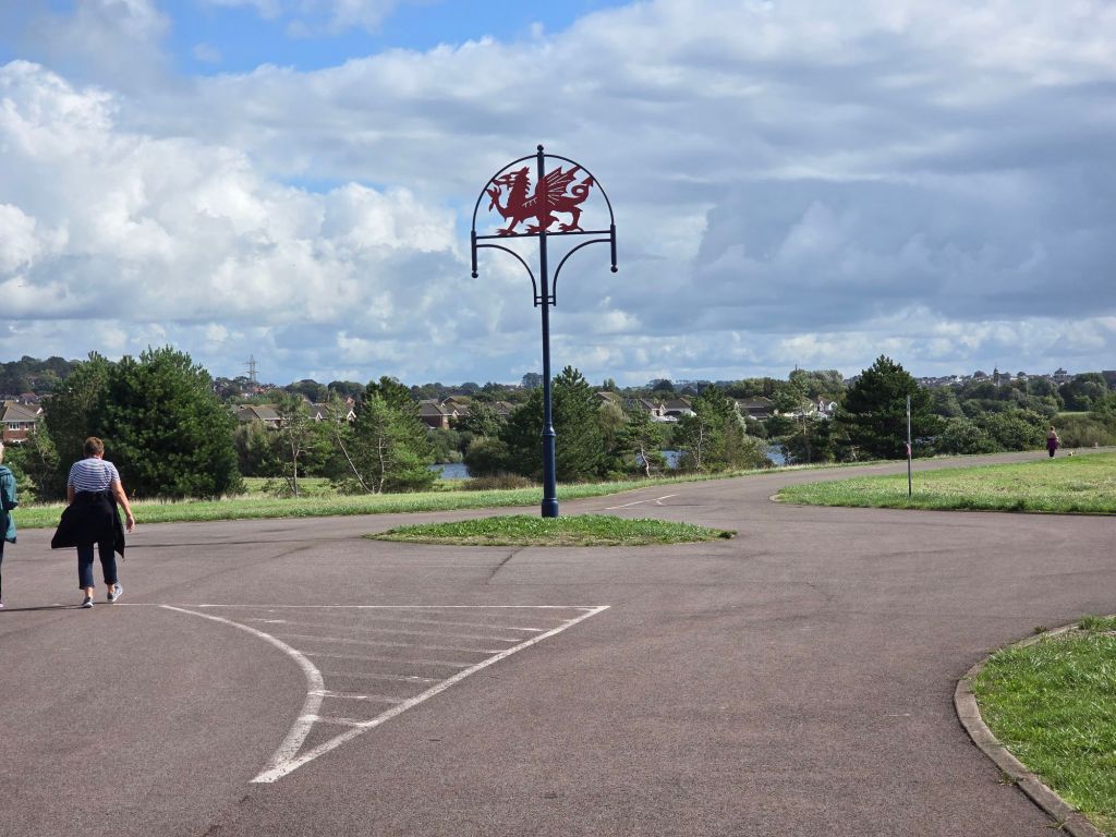
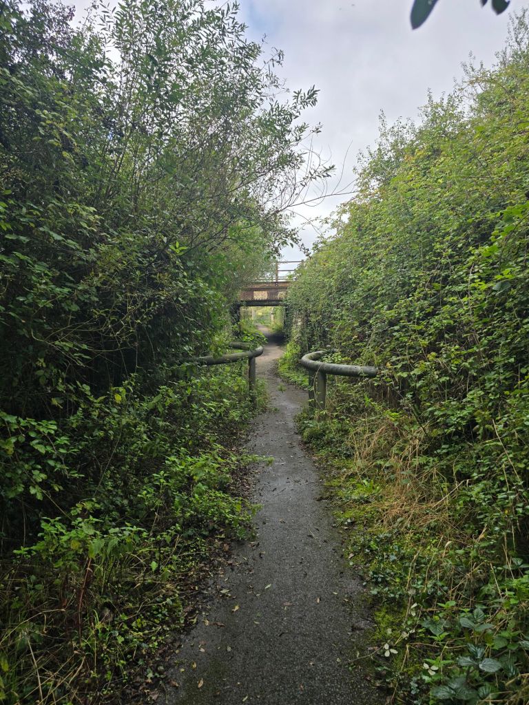
There were several decorative pillars and the arrangements for tunnels nearer Llanelli were impressive, alongside a smart welsh dragon and a cormorant statue. I walked further on to the new developments where I had finished on Saturday and saw a shelter which was decorated with an otter. The only thing that didn’t feature were naturally required facilities and in the end I had to resort to nestling in a bush by the shore not far from my finishing touching point. Once I had reached that I returned a few hundred yards to a smart metal bench with a wind break to eat lunch and then made my way back to Llanelli station.
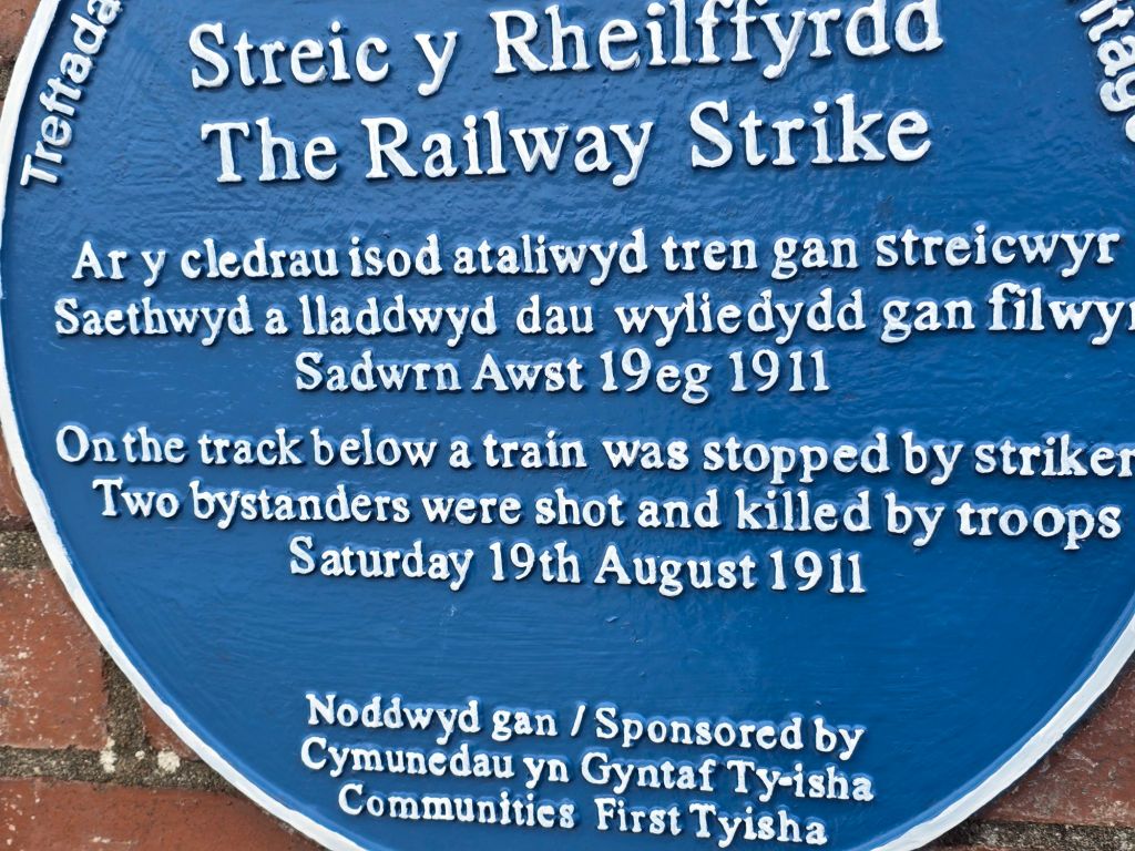
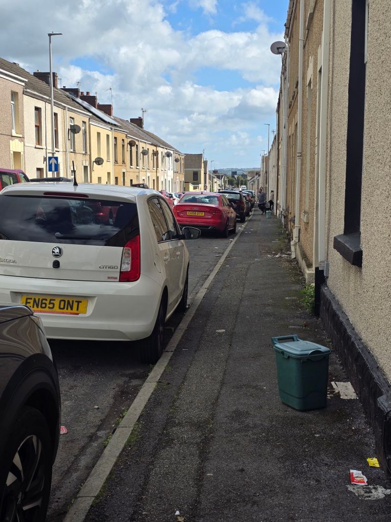
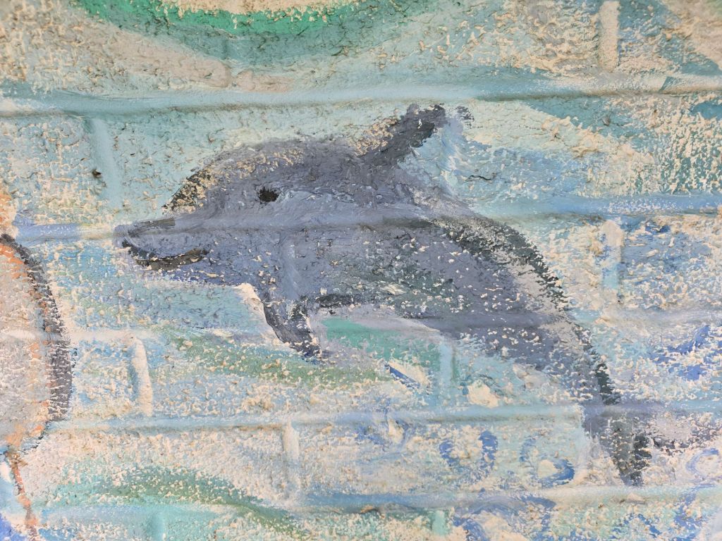
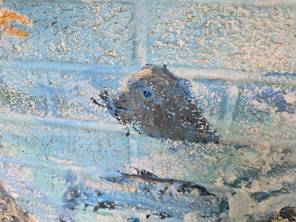
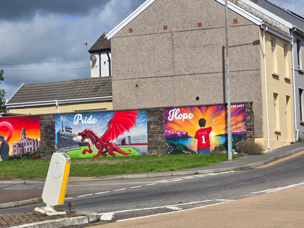
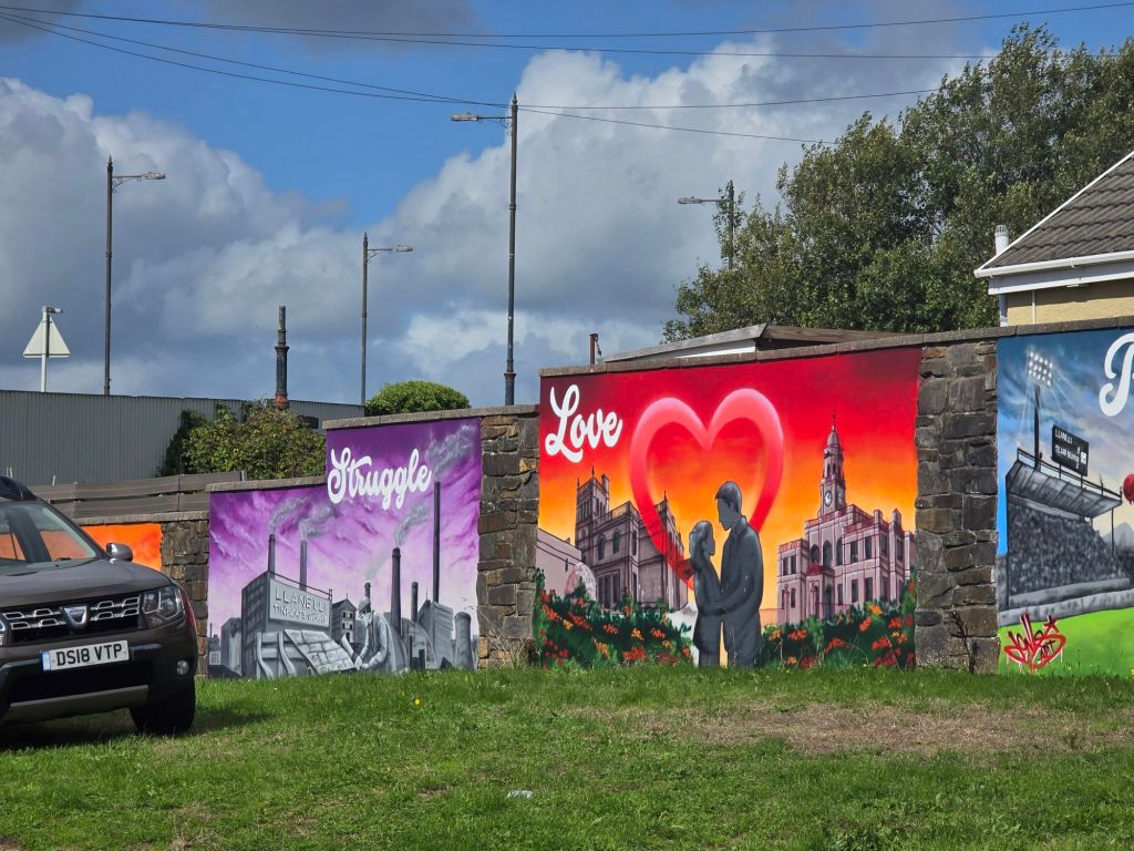
I saw some fabulous street art which I appreciated and related to the history of Llanelli and got a bit distracted and found myself going rather a long way round to the station. Didn’t have long to wait for the train back to Gowerton!
Wednesday

I repeated the early part of Tuesday with the drive to Gowerton to get the train – this time to Kidwelly so I could walk back to Burry Port. I was a bit apprehensive about this as it was a long way! But there wasn’t an obvious exit at an earlier point.

During this time the hospital rang and arranged a follow up appointment later in September – it was good to have that sorted so I know how they will approach my skin issues moving forward.

The train ran better to time, and I got the last space in the car park at Gowerton. This was because of a  bike ride setting off from there. I set up a touching point near the Kidwelly station which was also on the trail!


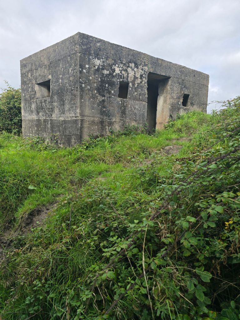
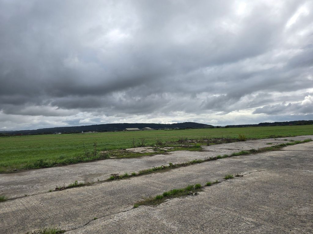
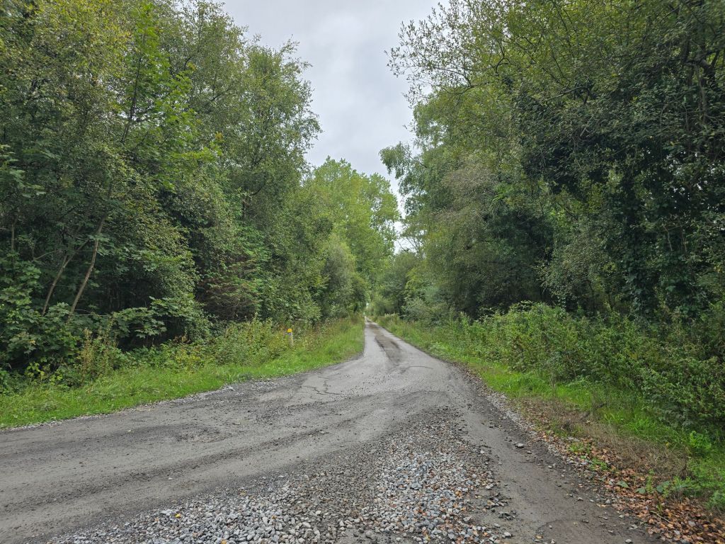
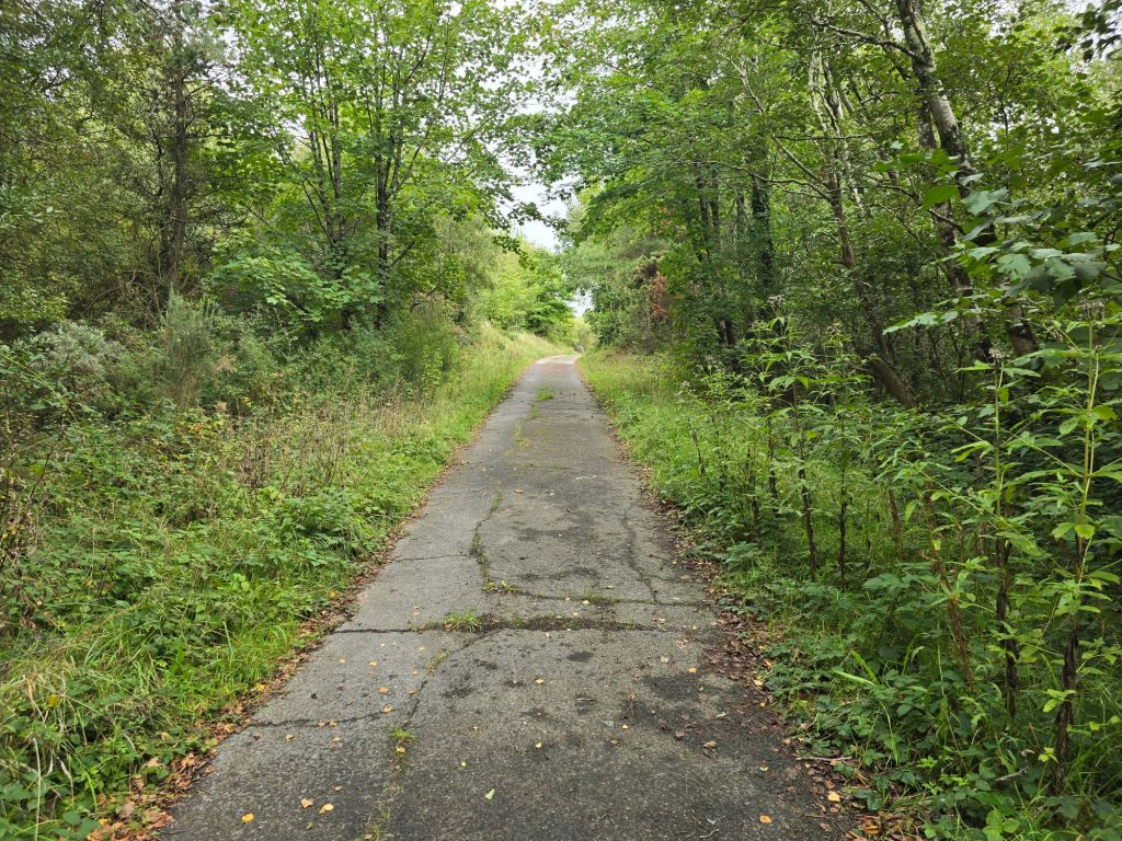
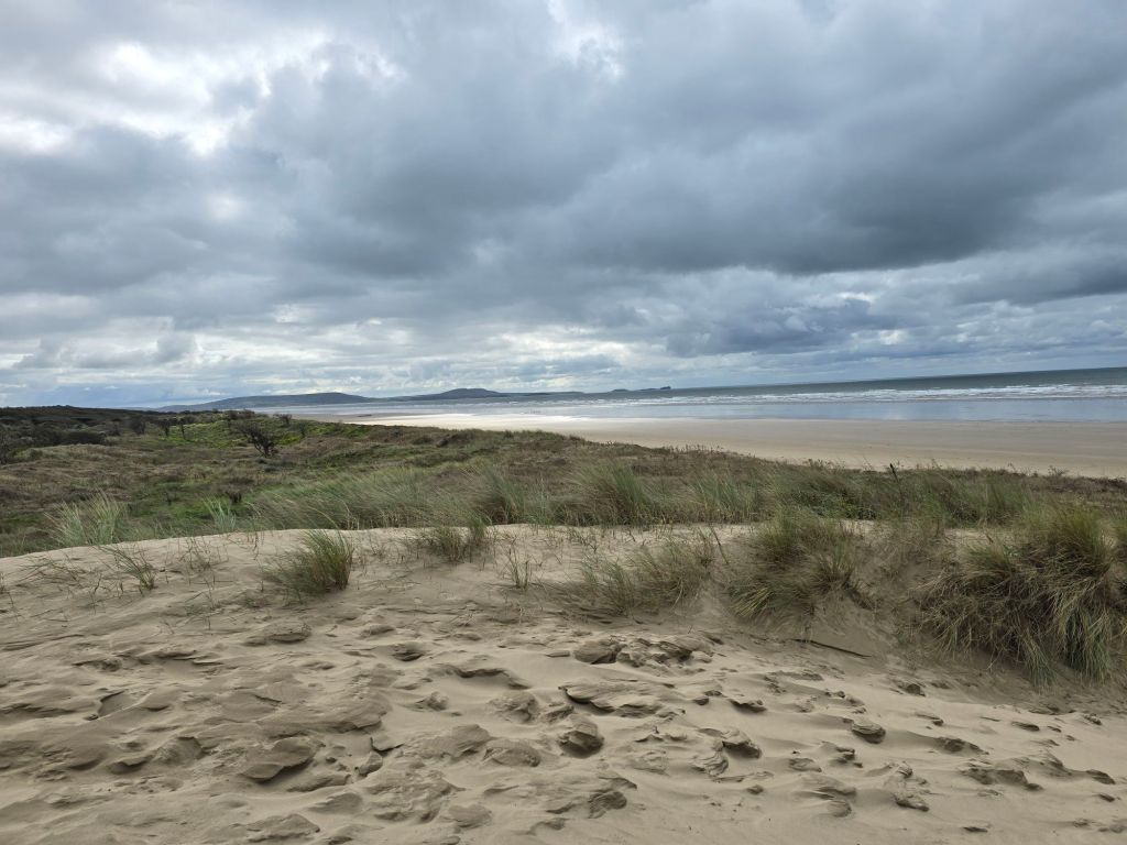
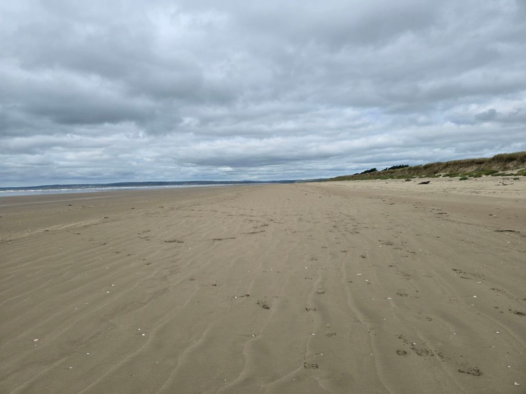
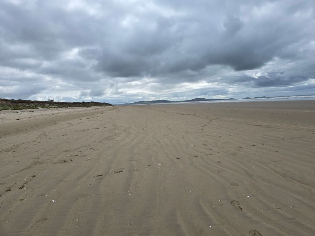
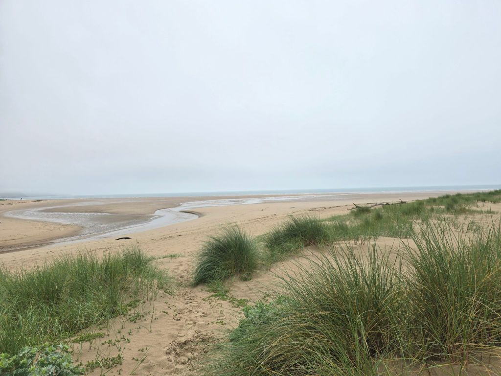
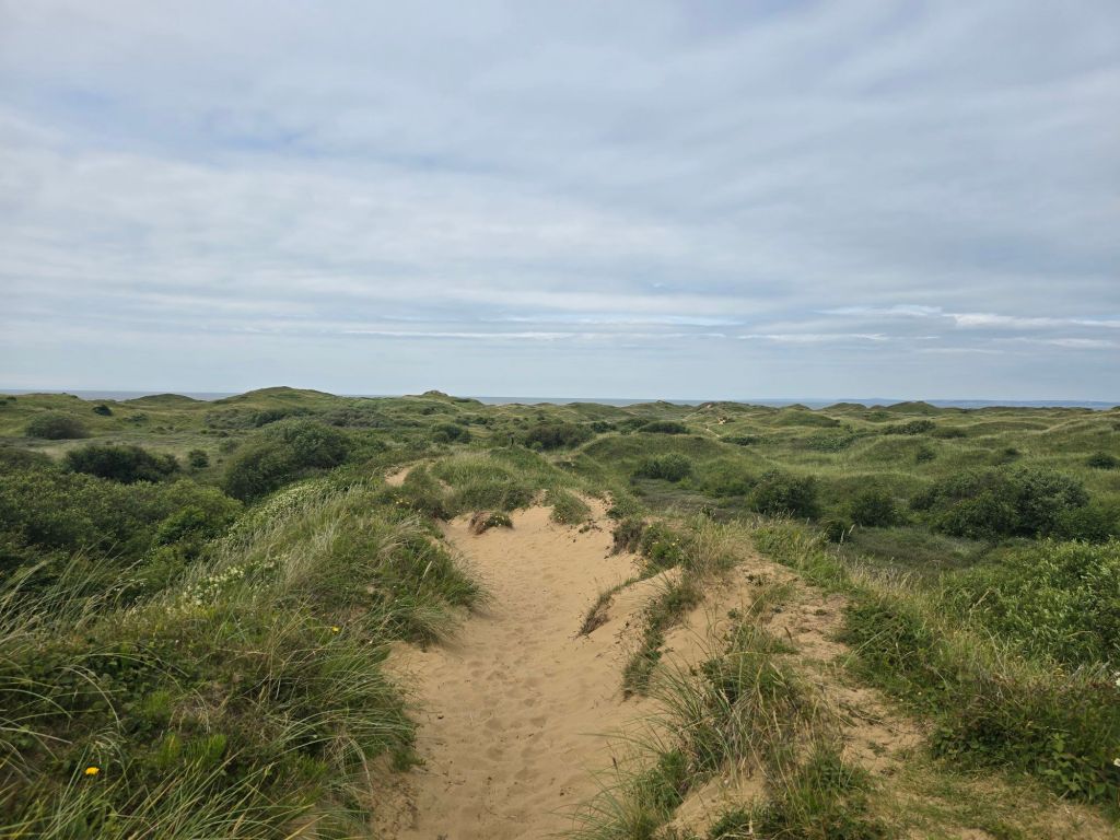
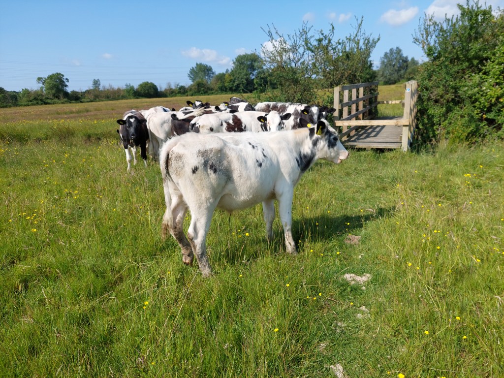
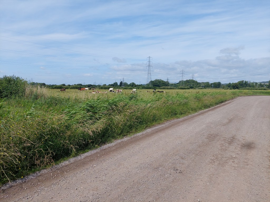
The initial section took me down to a canal and then alongside it and 2 roads – before heading out into a wildernessy area on a raised path with just the cows and a few cyclists and a handful of walkers. Unfortunately the cows seemed to think the path was the best place to relieve themselves! First there were antitank defences, and then the noise from a racing circuit and the local air field. The path cut down to a track related to the airfield I think. I sat on an available low concrete structure for a coffee and then eventually the path got to the edge of the Pembrey forest. There was a long section through the forest, which ended up eventually at the coast. I was intrigued that the bikes were also going this way and after a brief section through dunes were being recommended to cycle on the wide expanse of sandy beach.
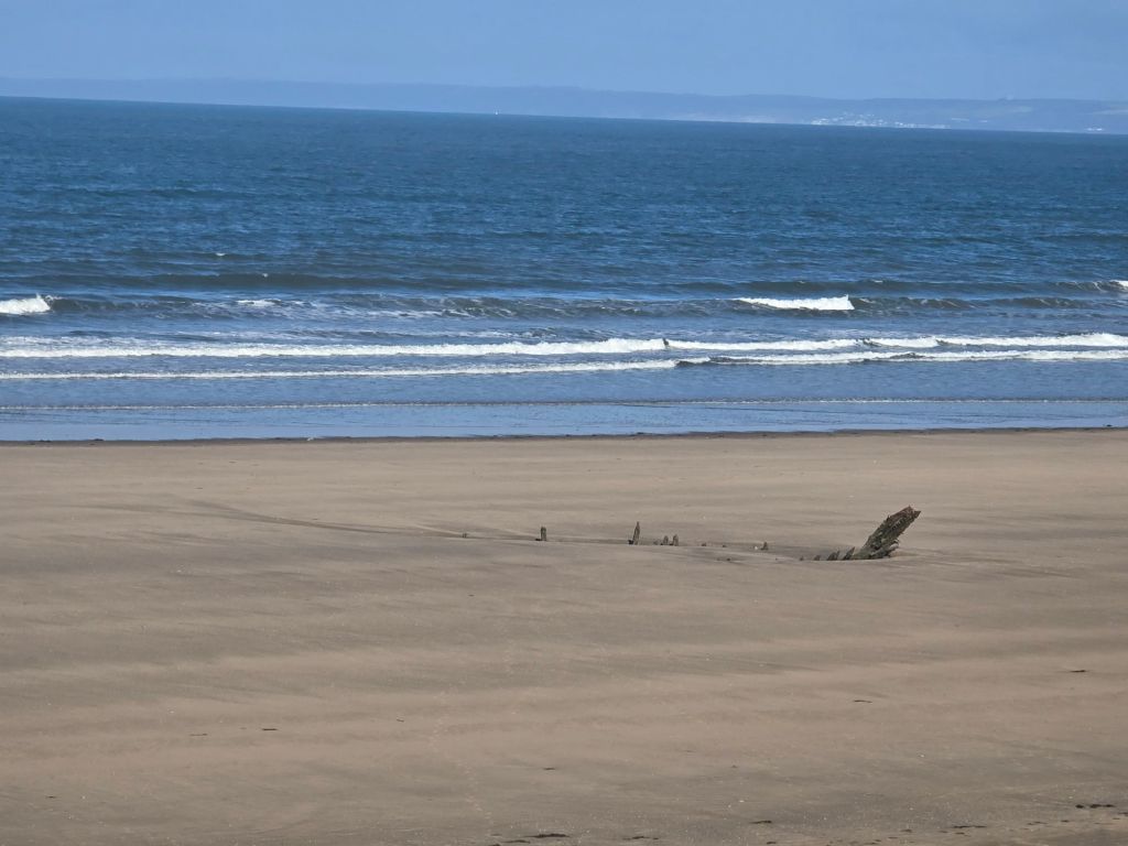
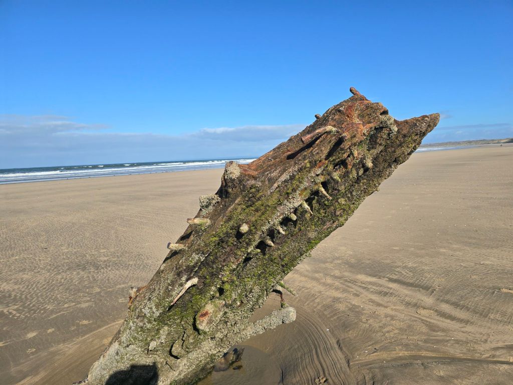
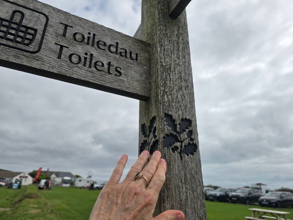
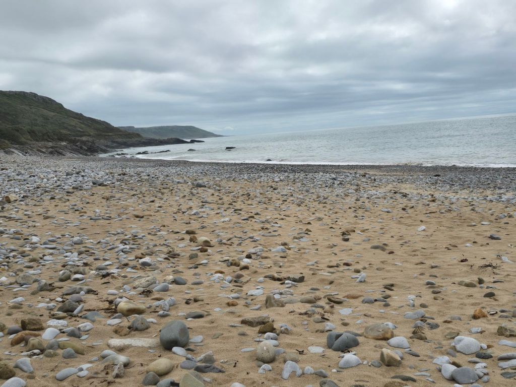
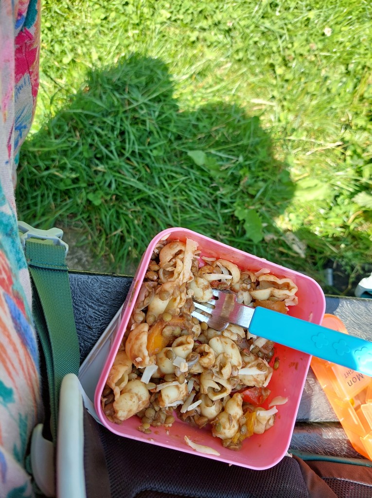
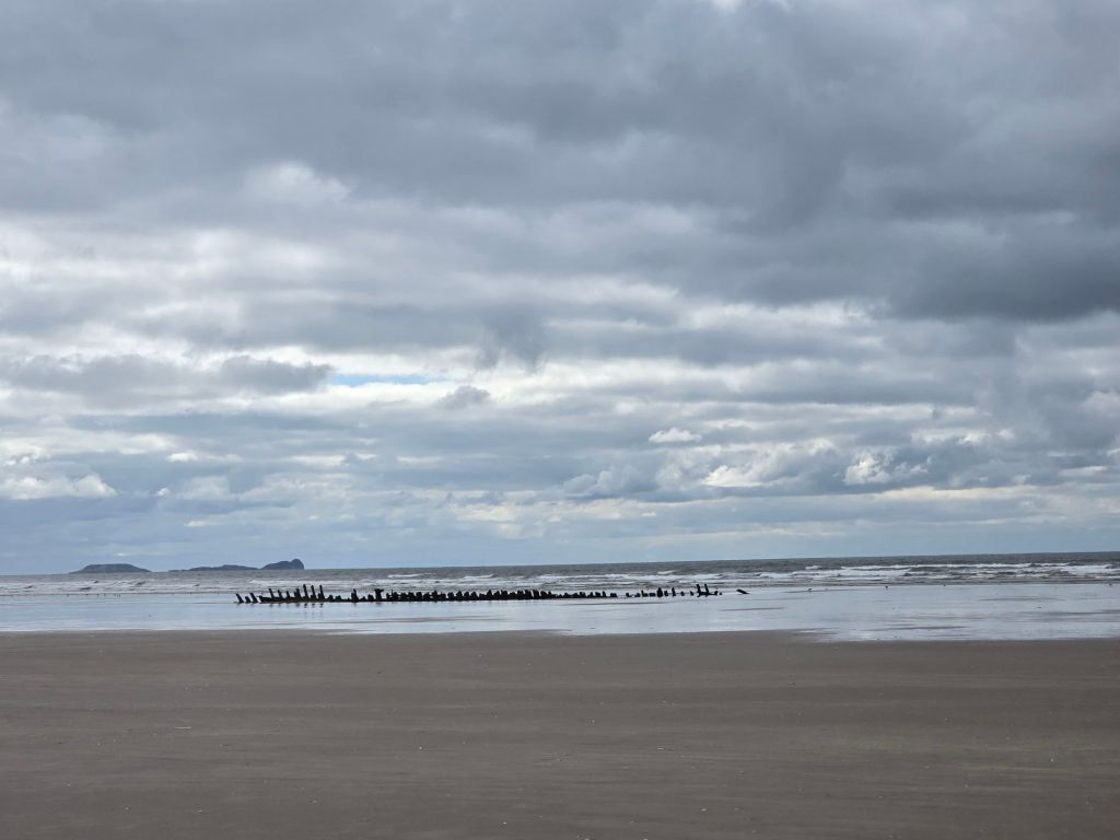
For me it was obviously a long walk on the beach (about 3 miles). I stopped midway near to the various ship wrecks and sat on a log for lunch and then carried on until I saw the way off on the coast path in the Pembrey country park. It was disappointing that the café was shut – though the toilets were open.
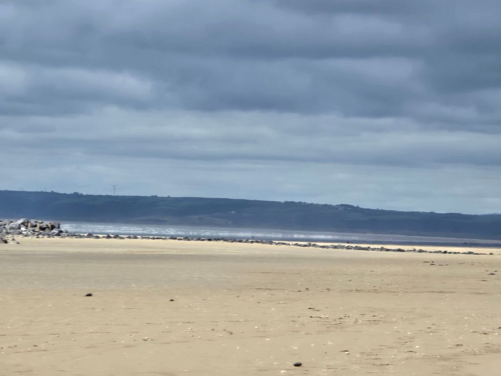
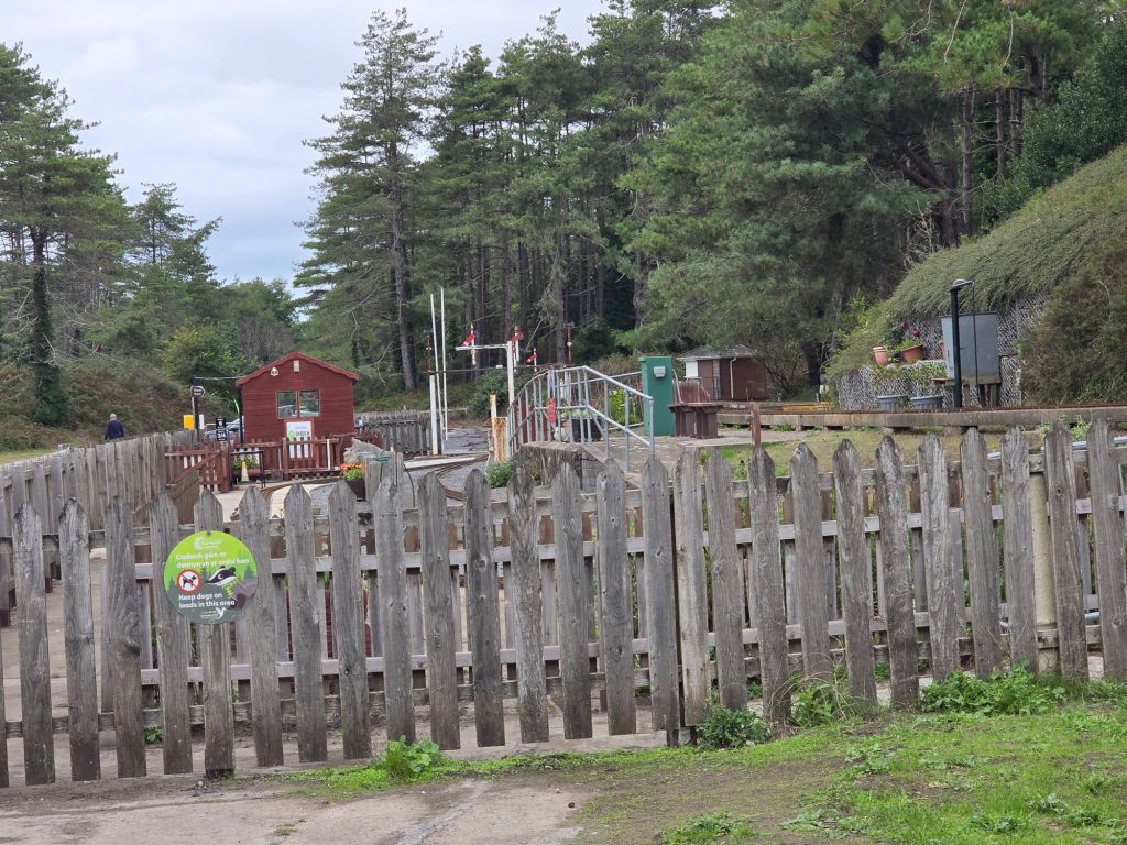
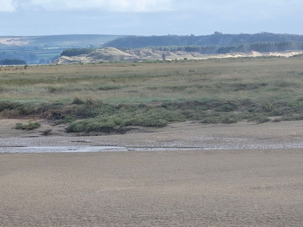
I pondered what to do as I was quite tired at this point but after my second coffee decided to crack on – a section through the country park went past a  little train (also shut) and then a dry ski slope. I was concerned the last section was through dunes marked on the map, but It turned out to be the start of the bicycle track and it was a very easy if long section – which had good views of the Loughor estuary (and inevitably both my two lighthouses – the iron one and the short one at Burry Port towards the end). It was beautiful – even if I was rather tired by this point. The last mile seemed to take a while before getting back to the touching point at the new dock area.
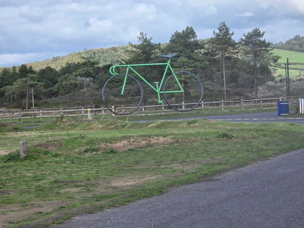
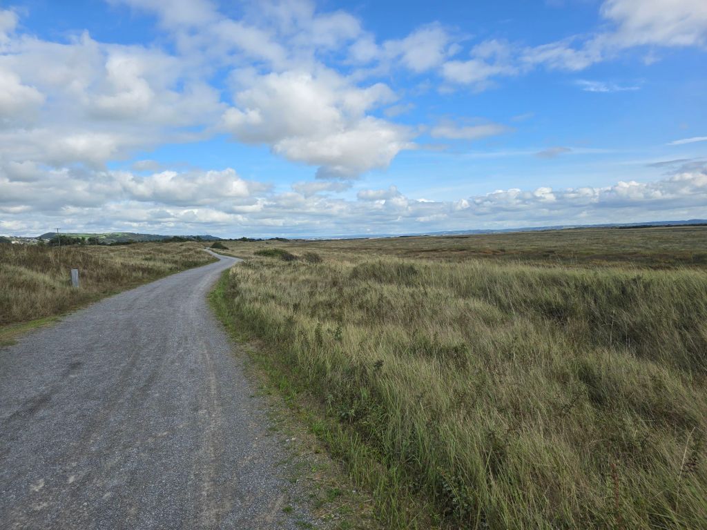
I staggered back to the station via a local café where I picked up a drink and some sustenance. This turned out to be a bananabread cookie – which was just marvellous and just what was needed after a very long (for me) hike – 13 miles was crested on this day! (who knew I could walk this far)!

On the train I had a wonderful view of the iron light house – with a rays of sun cascading down from the clouds – it was a moment of wonder and something deep. I love a modern worship song about lighthouses and it felt like a sign somehow. God being the peace in a troubled sea and the importance of following safe to shore. Powerful!

I was a bit stiff getting off the train and too late back to base camp to ease my muscles in the jacuzzi which was a pity.

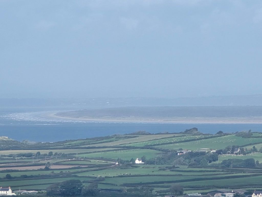
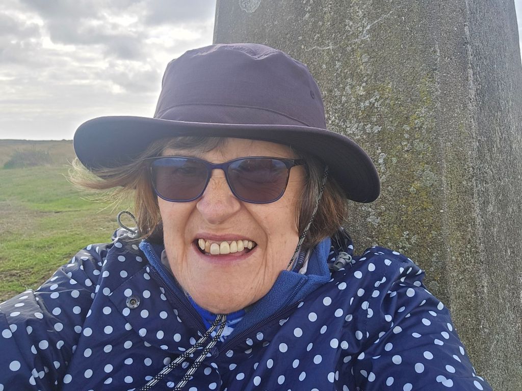
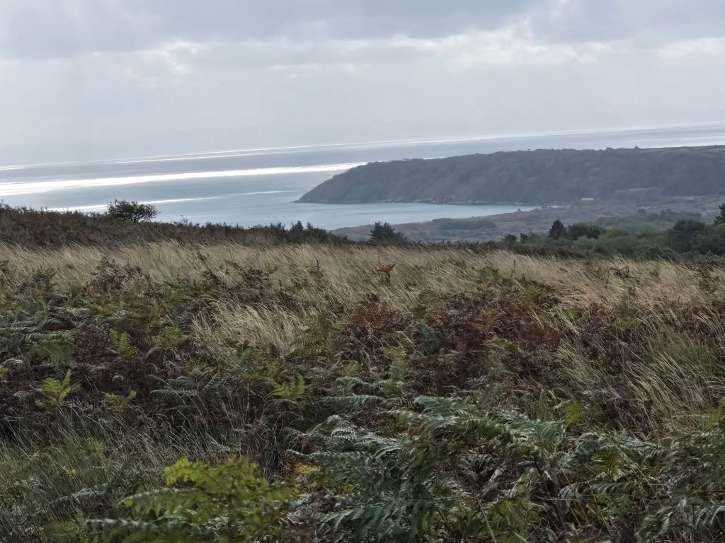
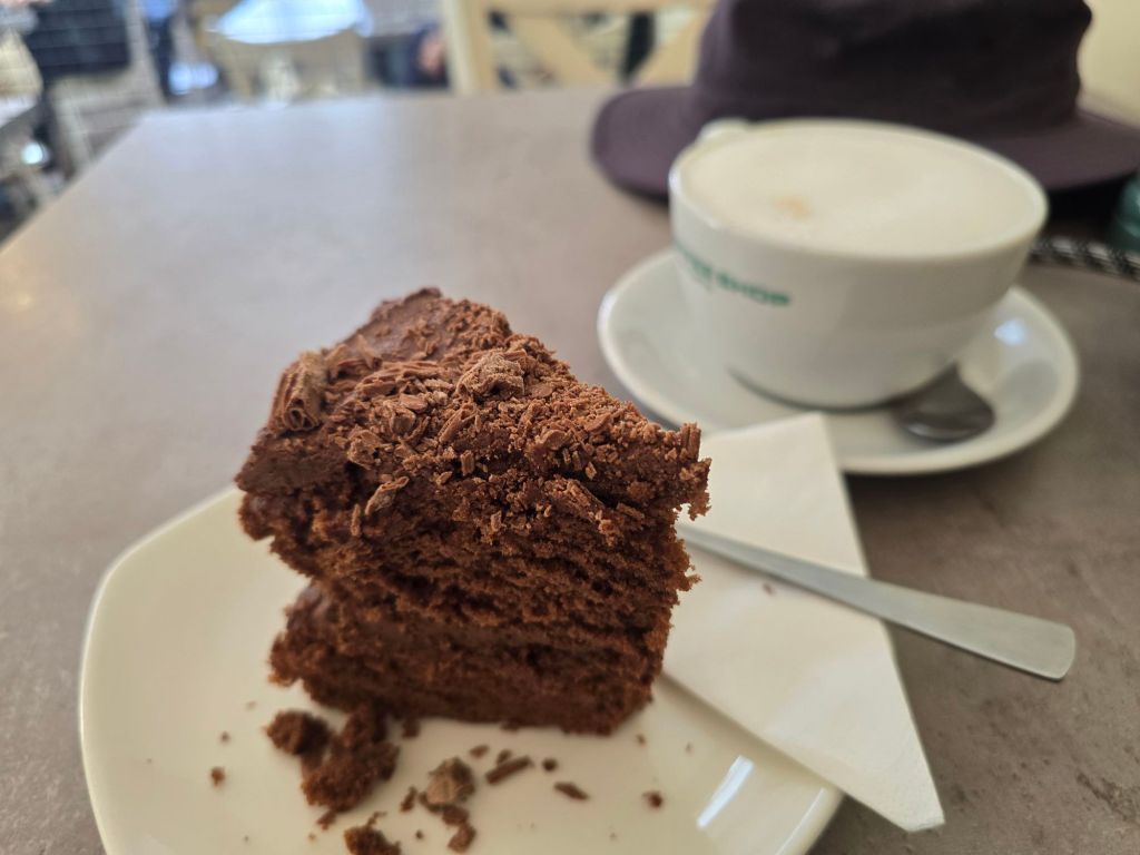
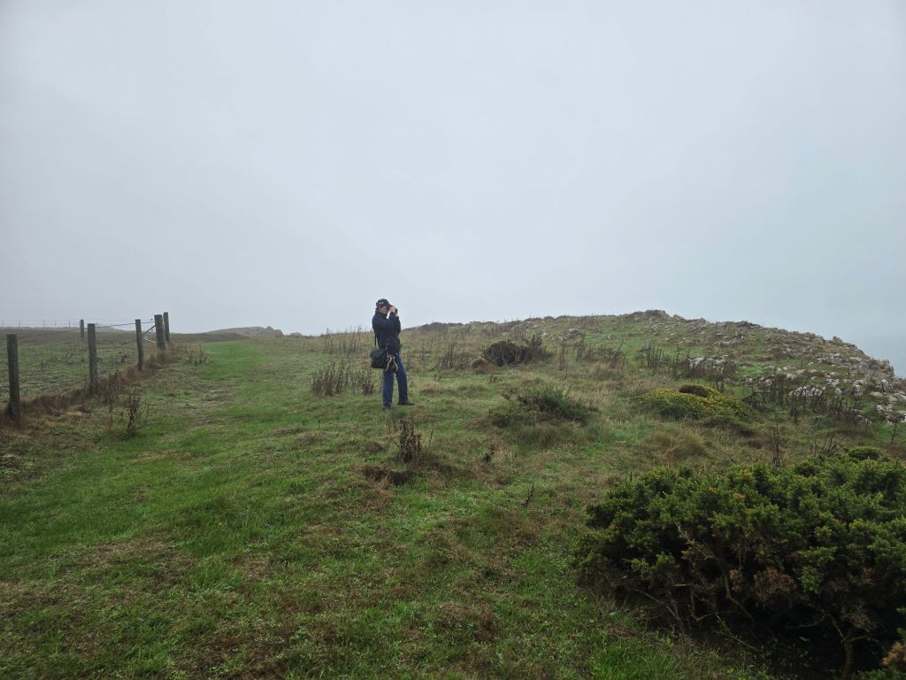
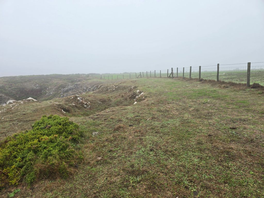
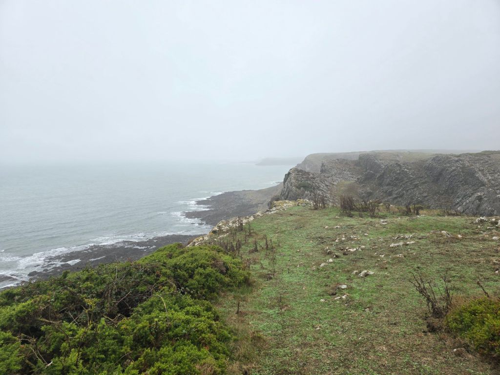
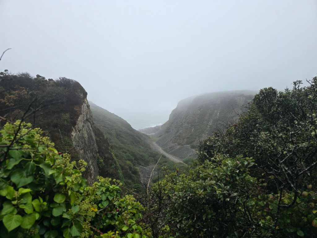
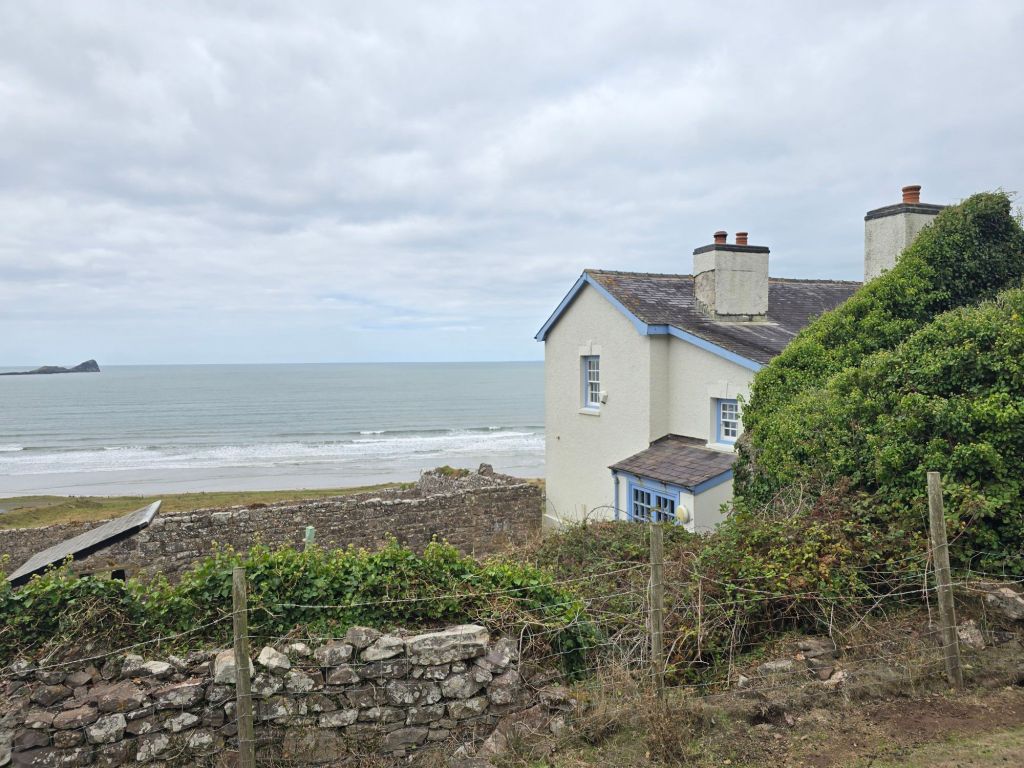
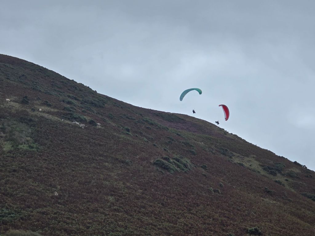
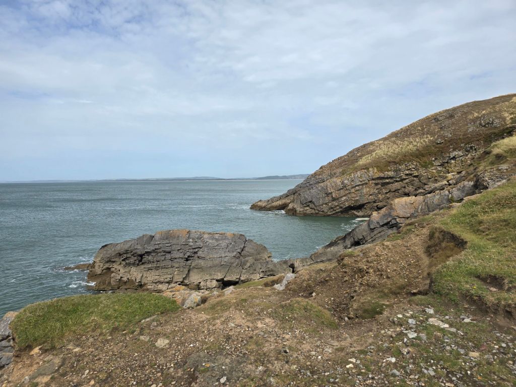
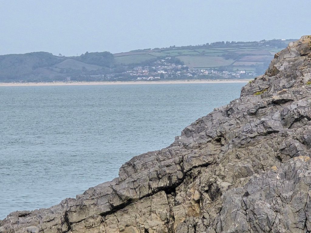
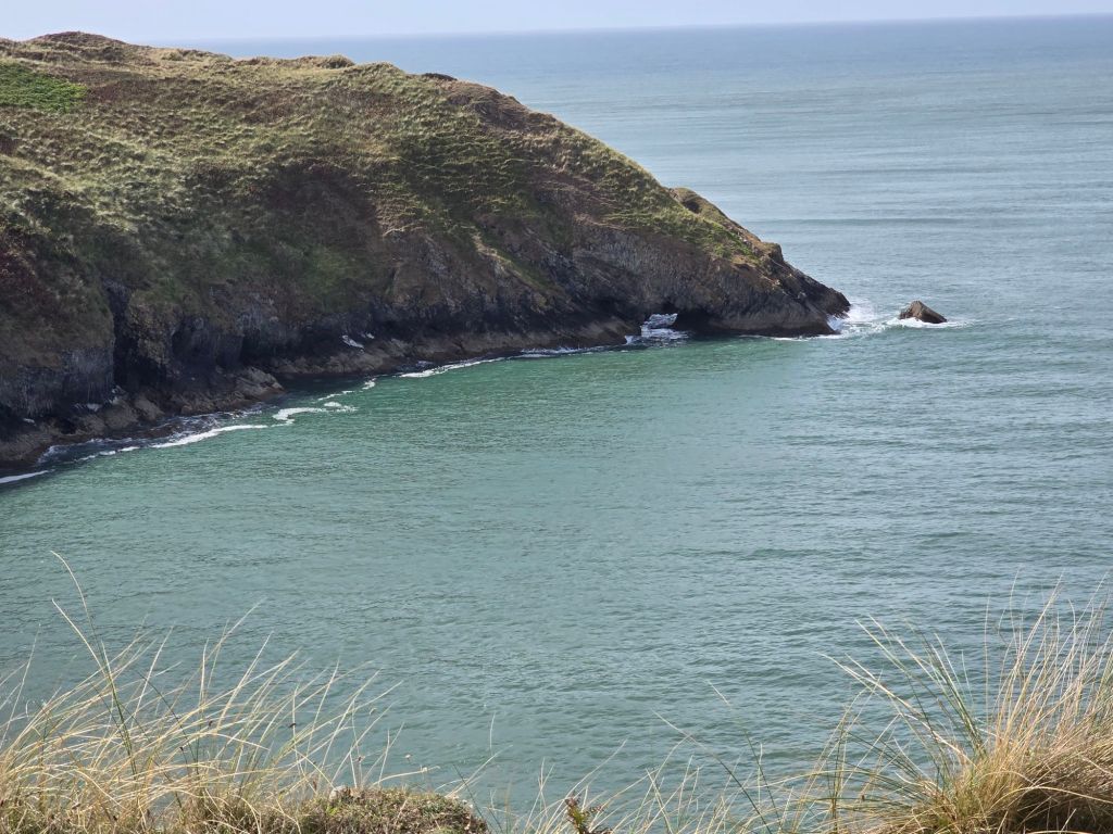
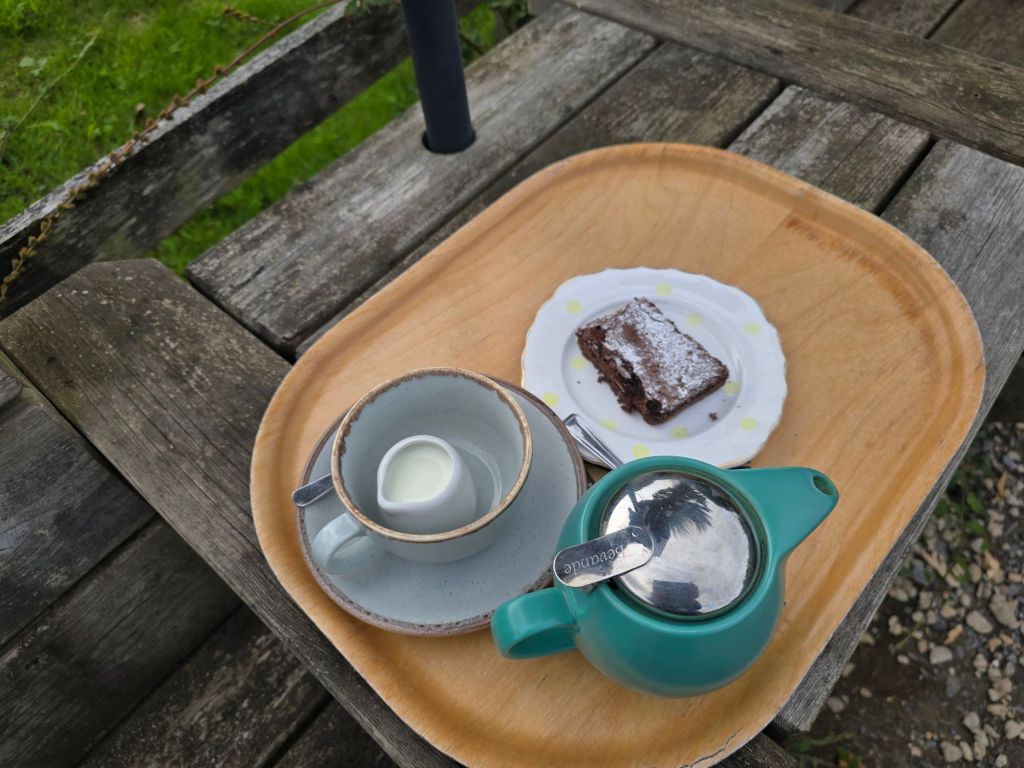
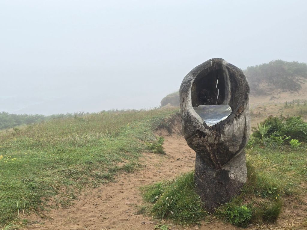
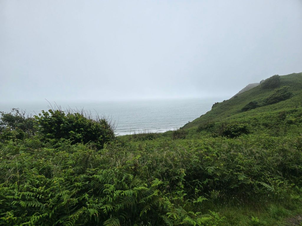
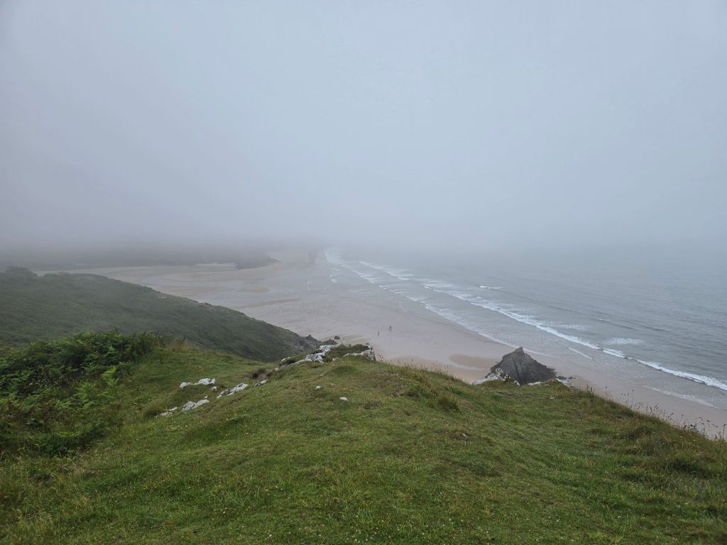
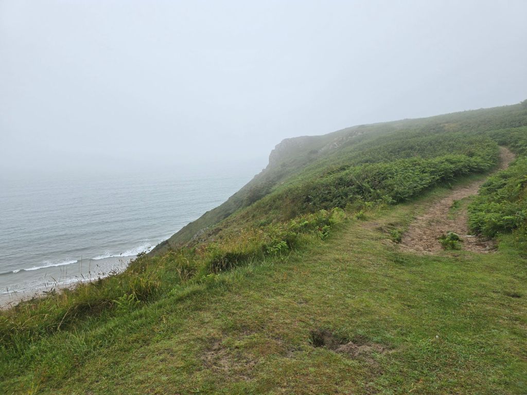
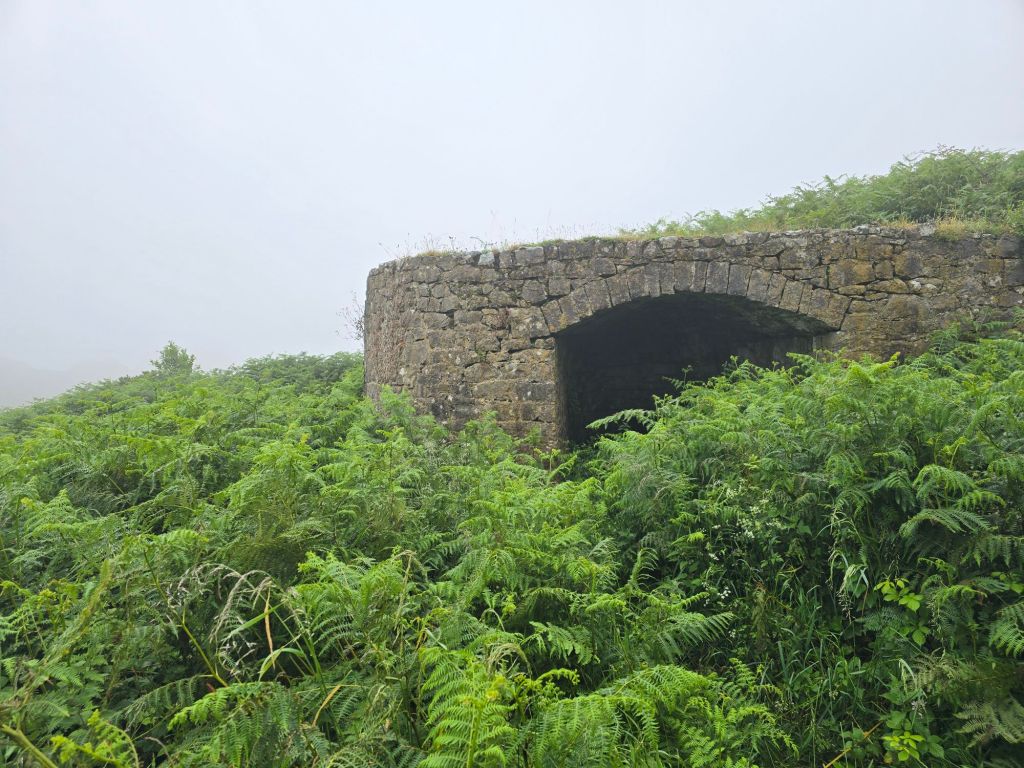
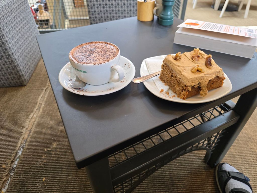
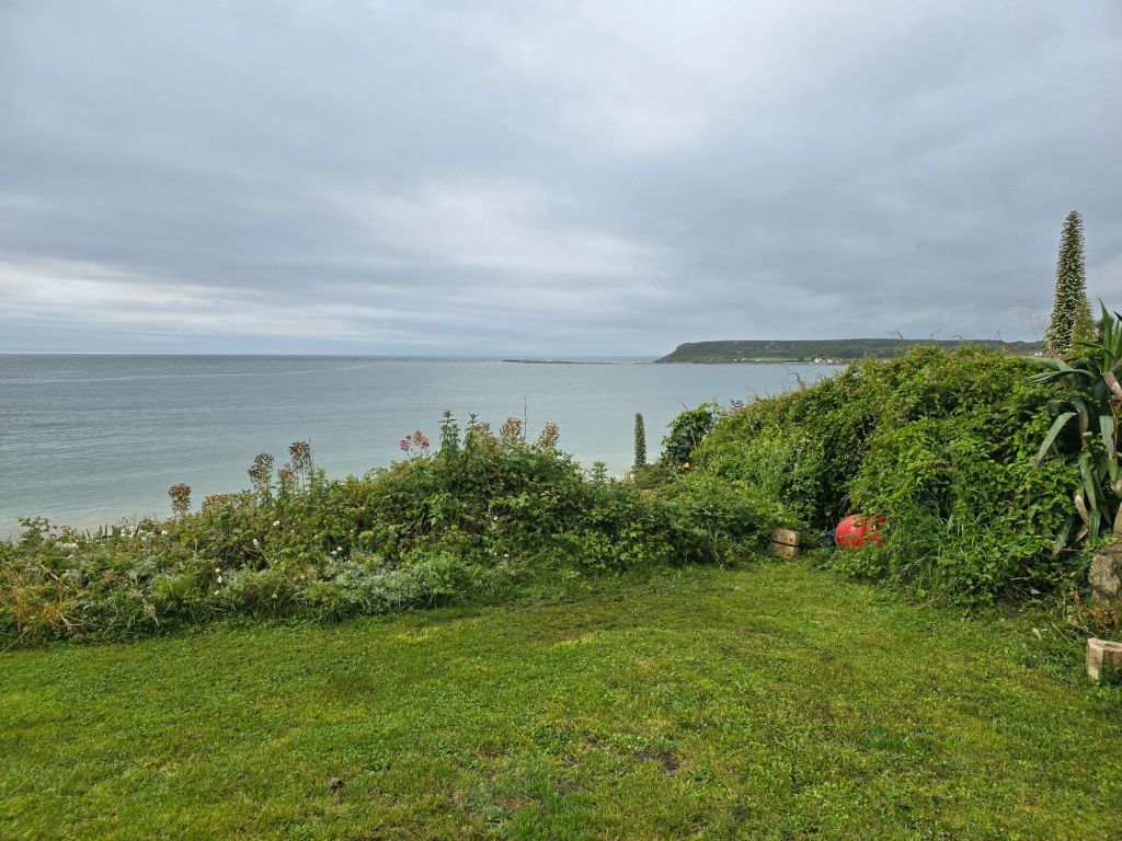
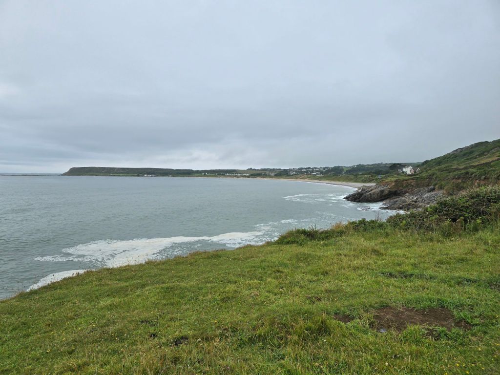
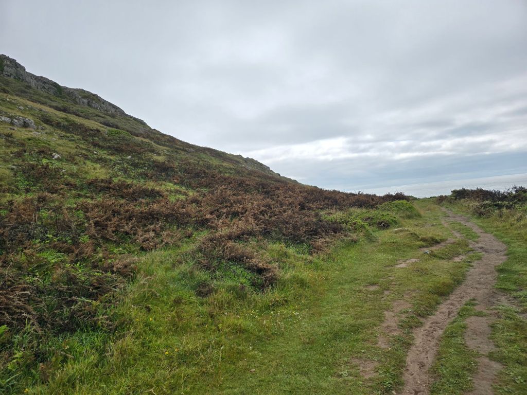
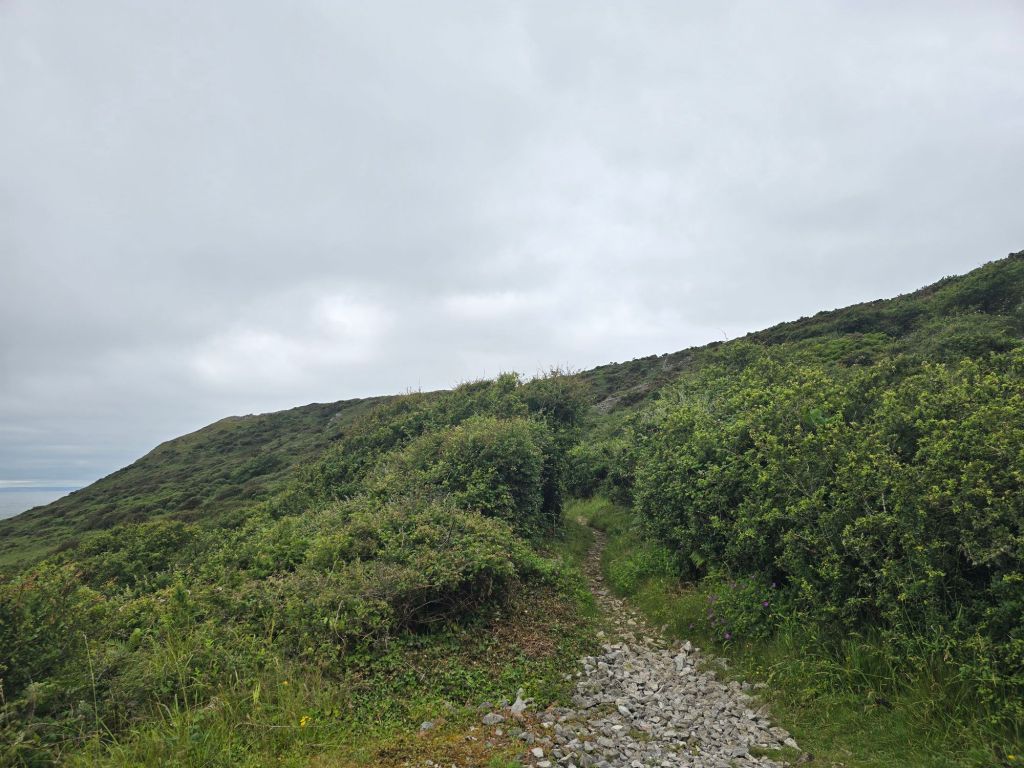
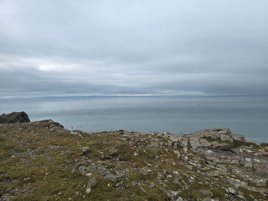
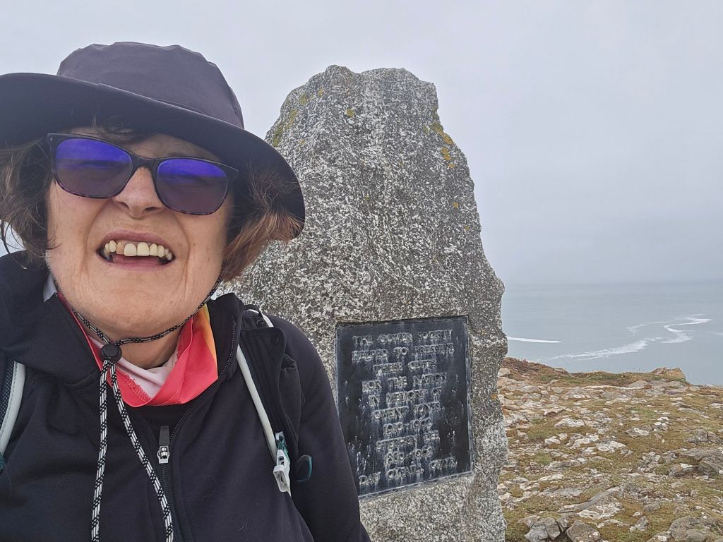
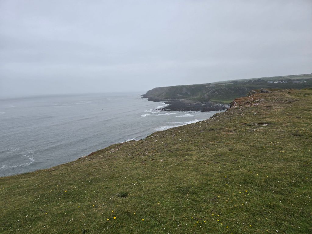
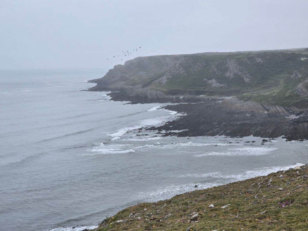
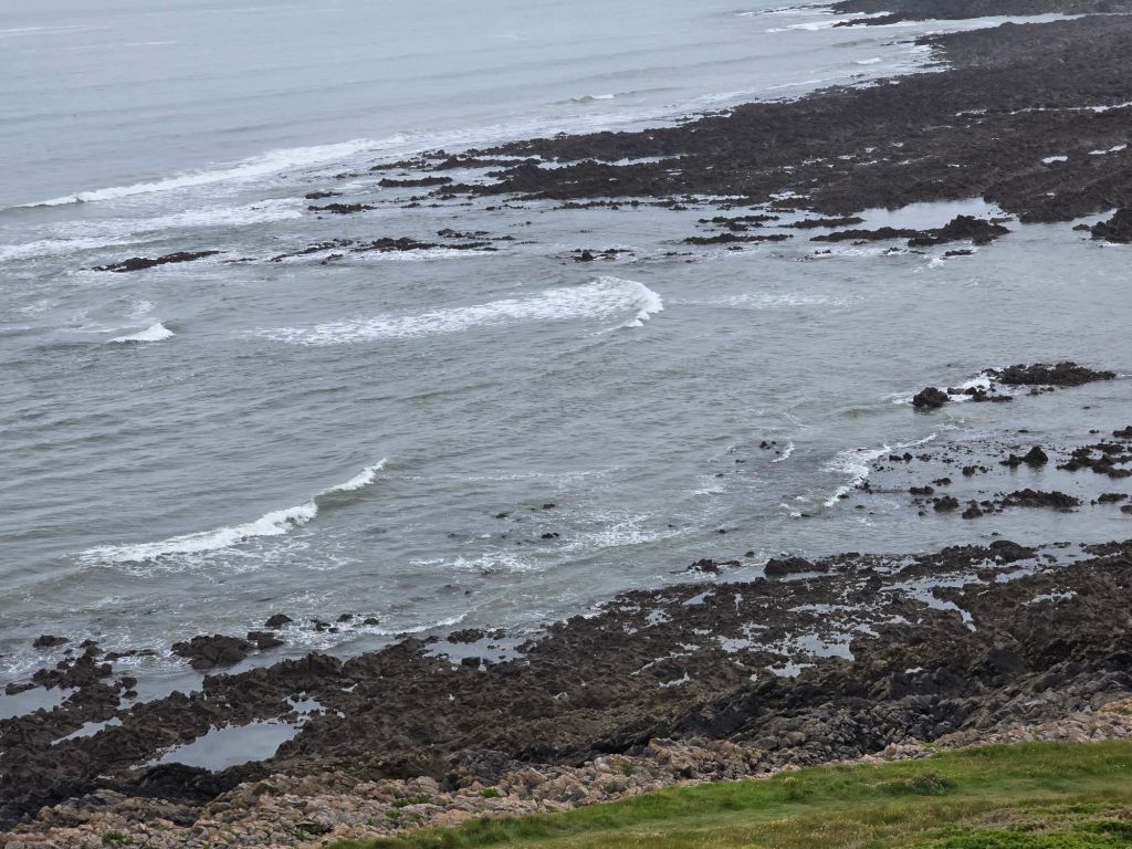
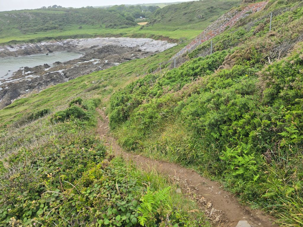
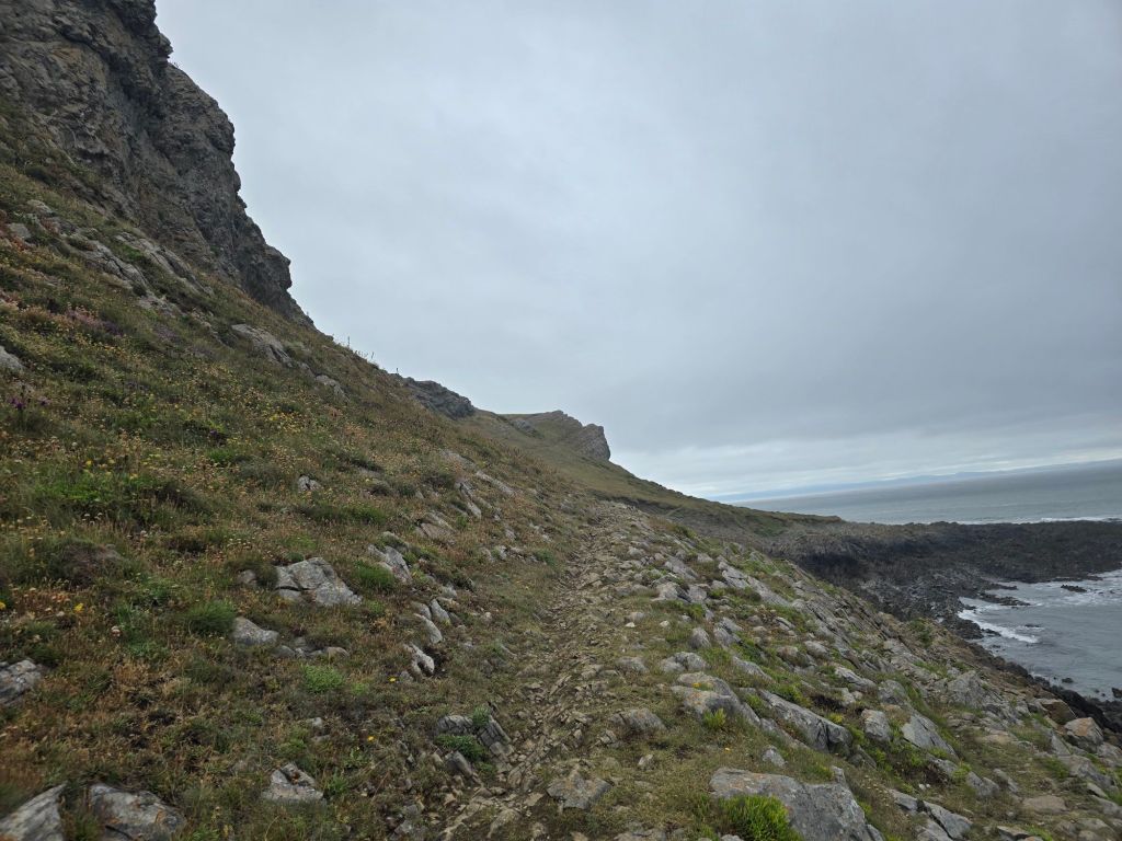
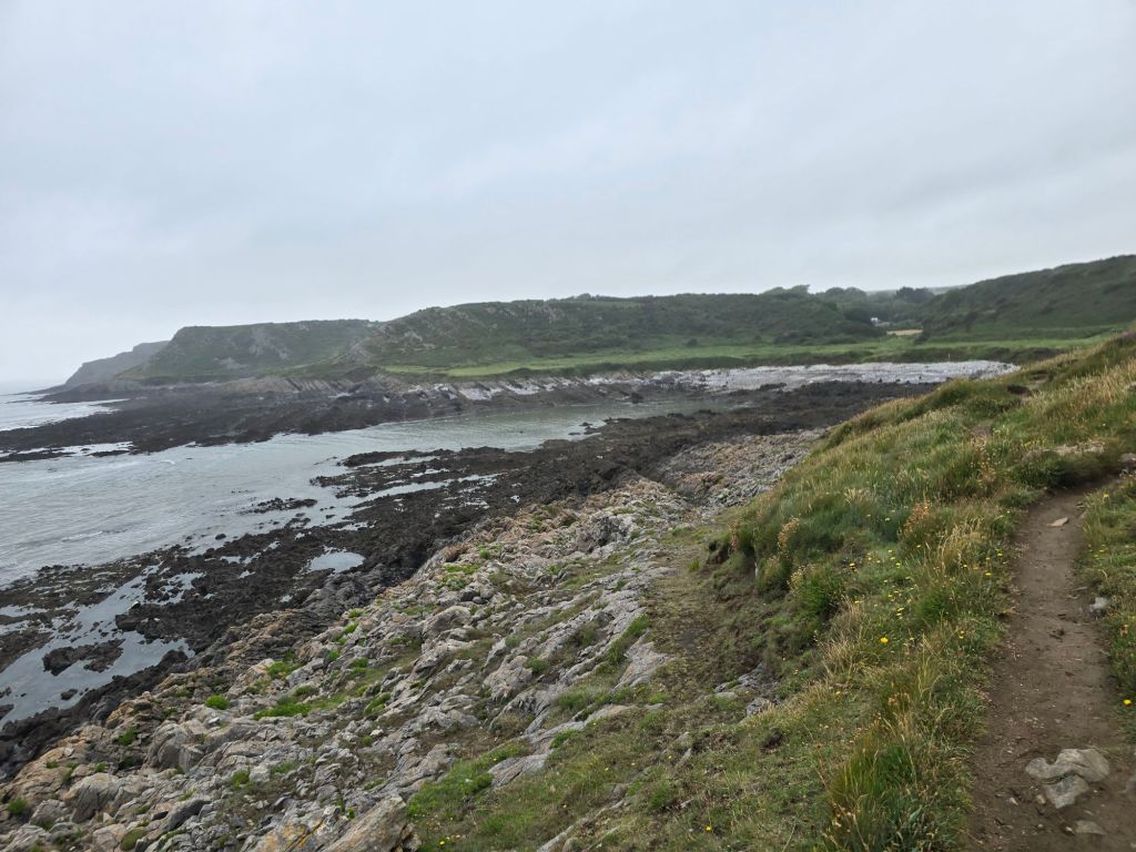
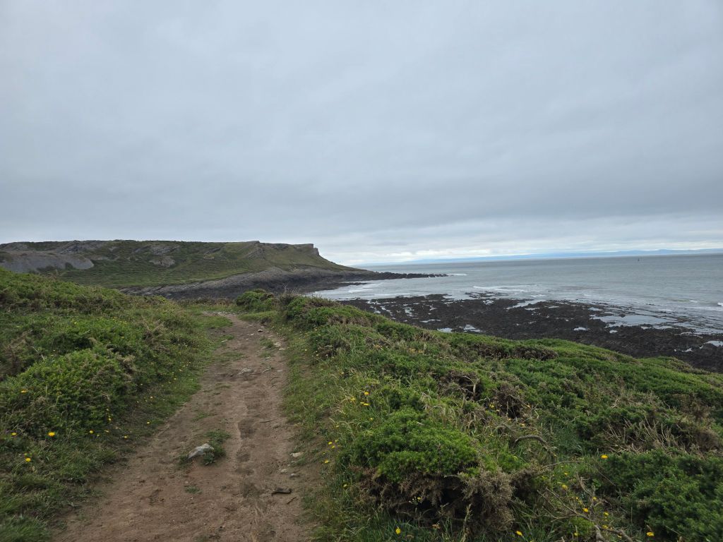
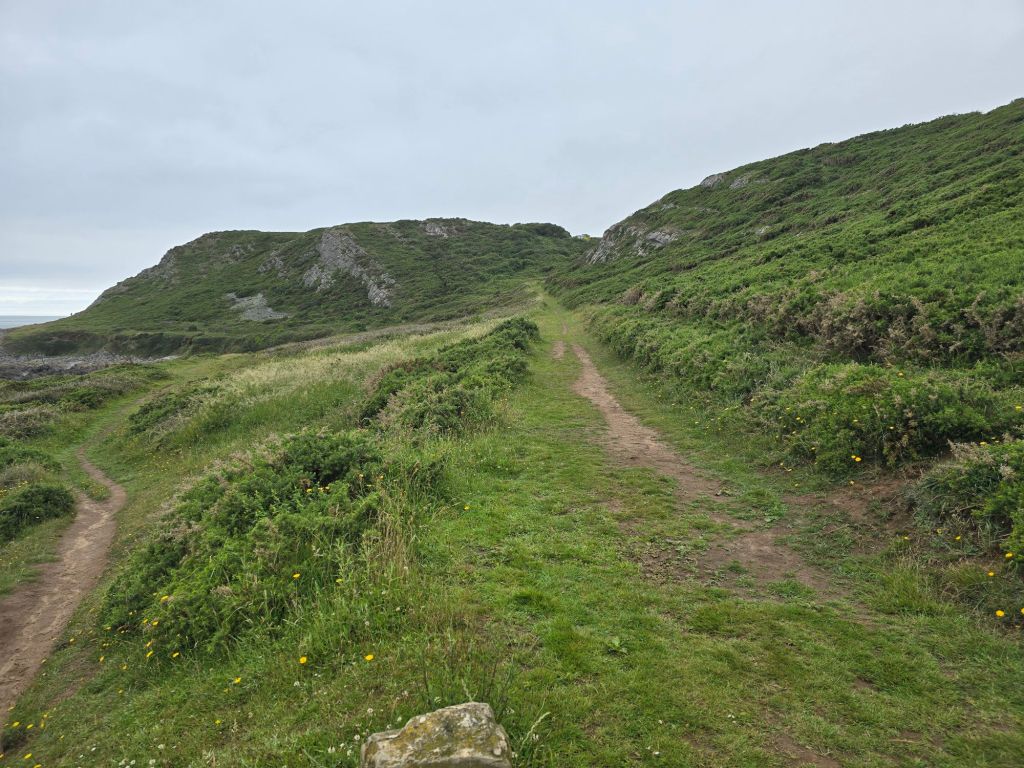
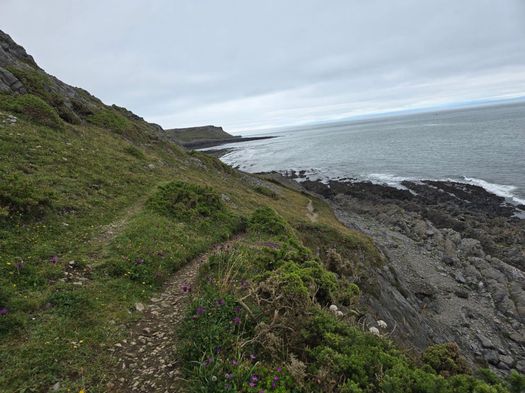
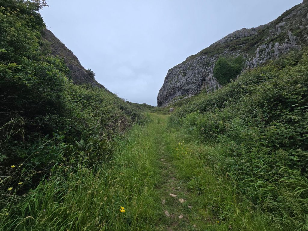
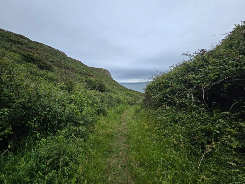
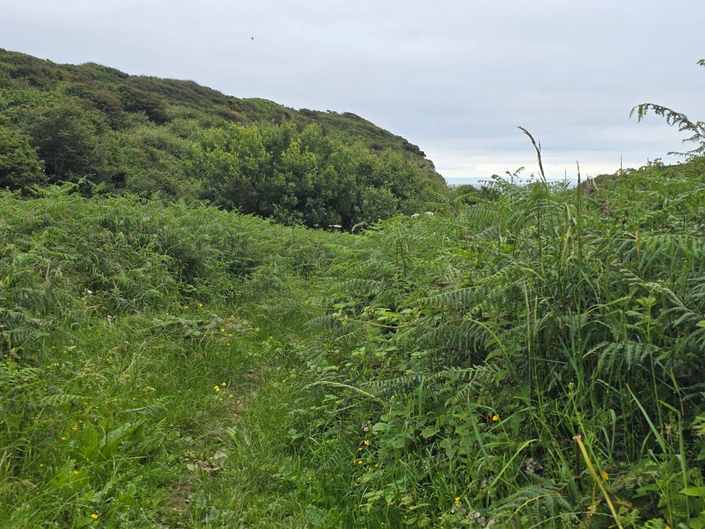
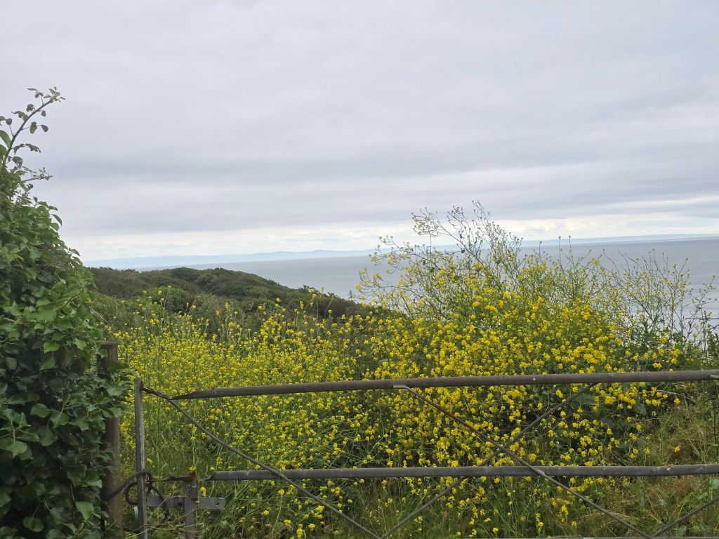
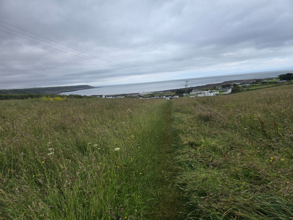
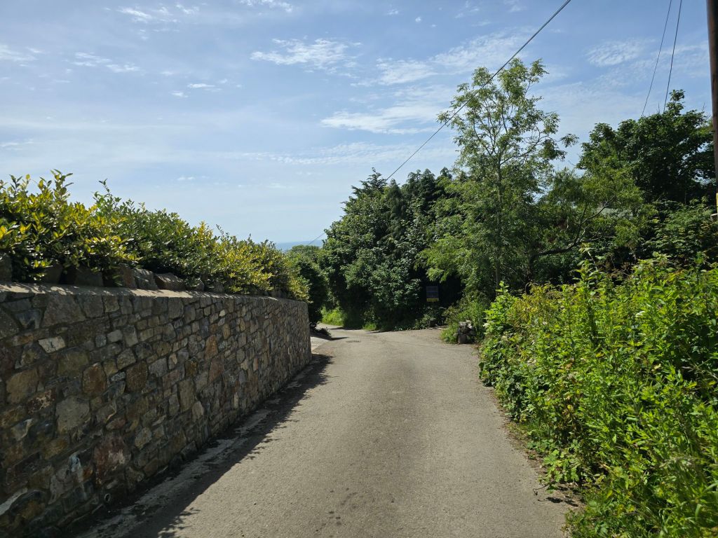
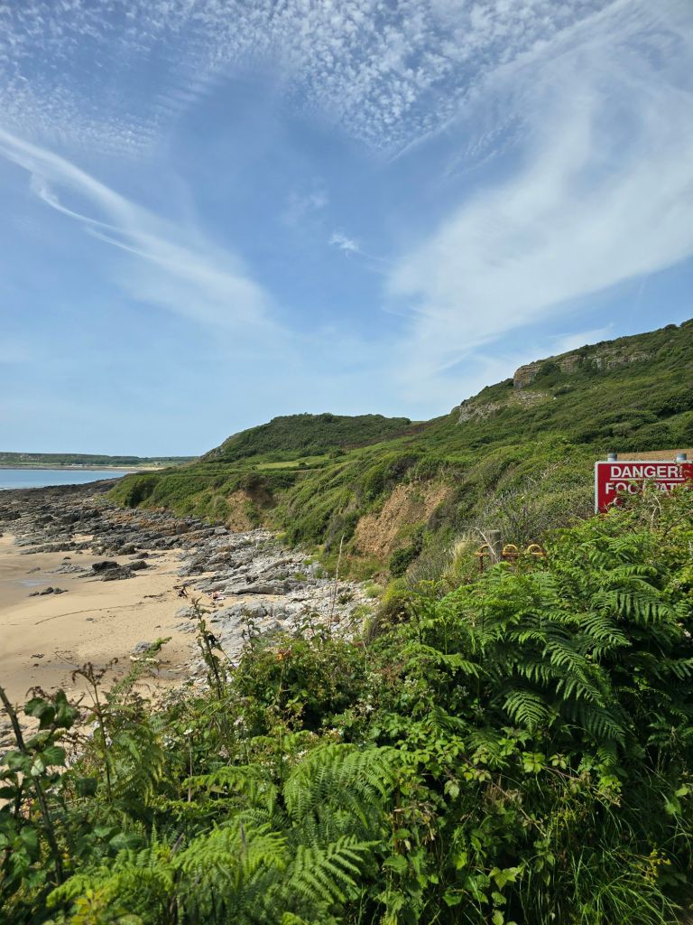
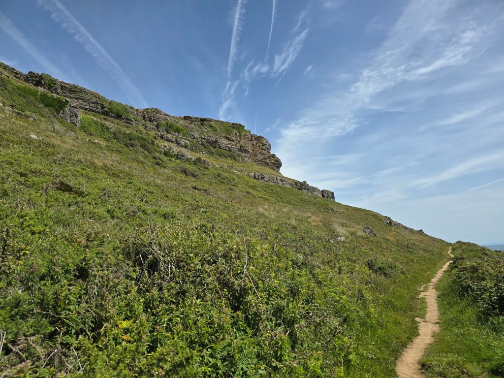
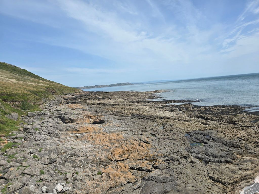
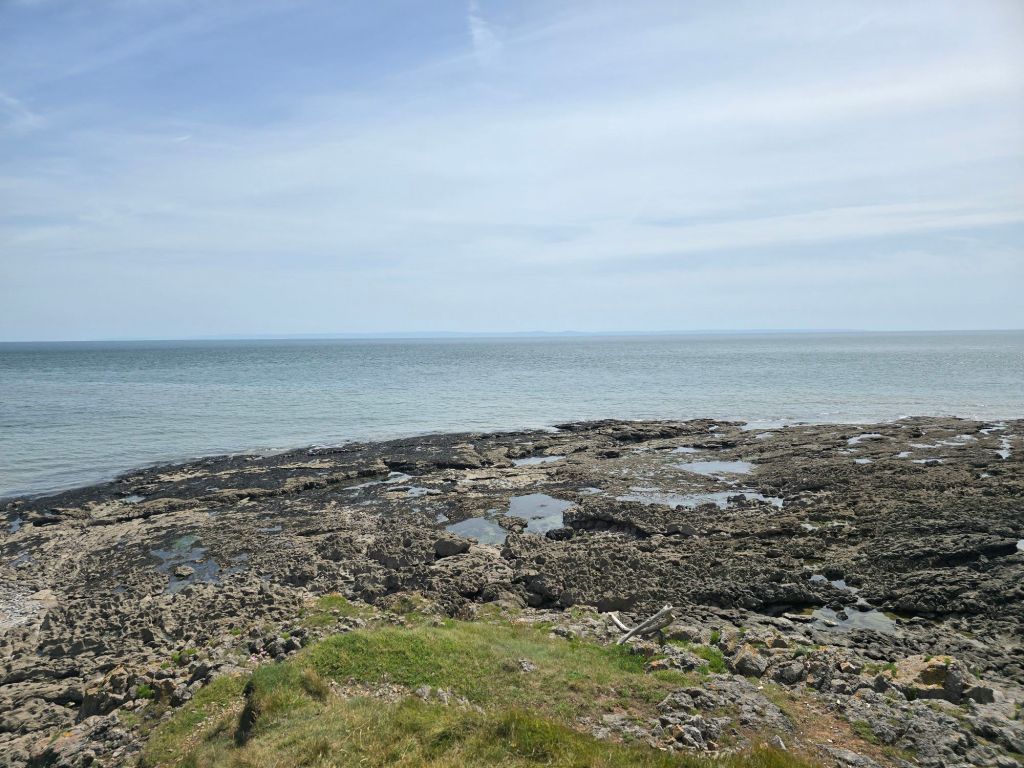
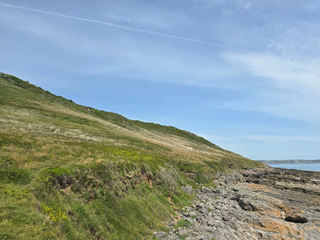
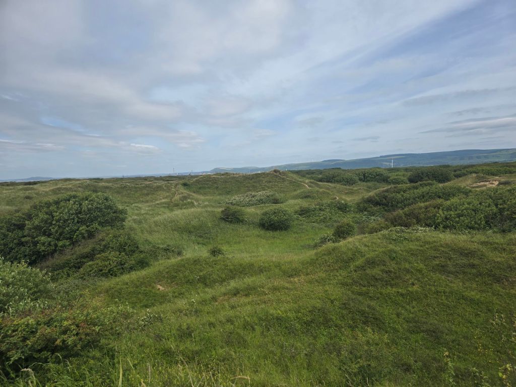
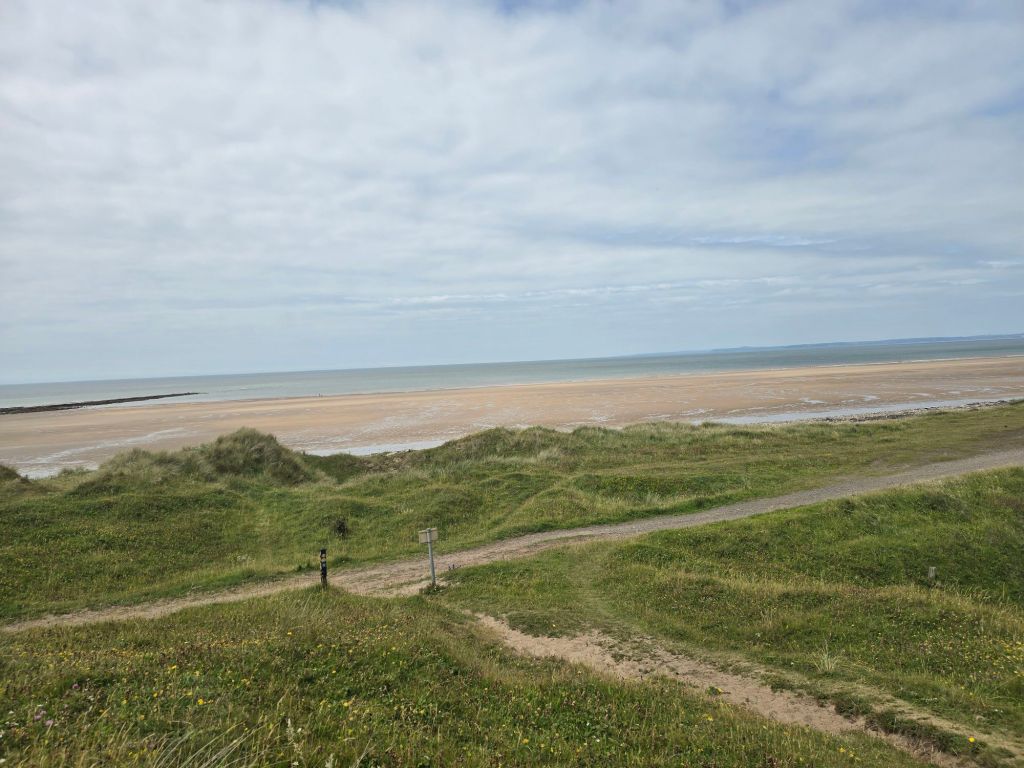
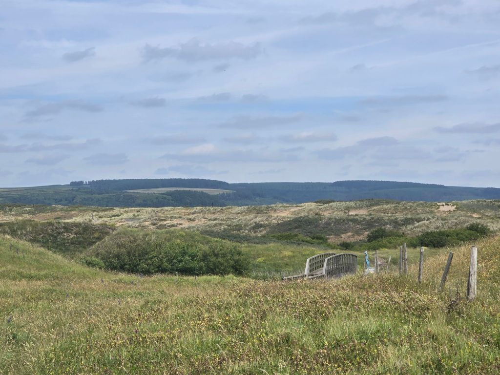
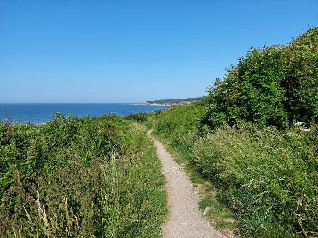
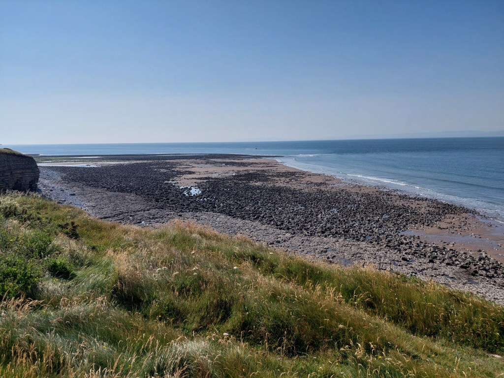
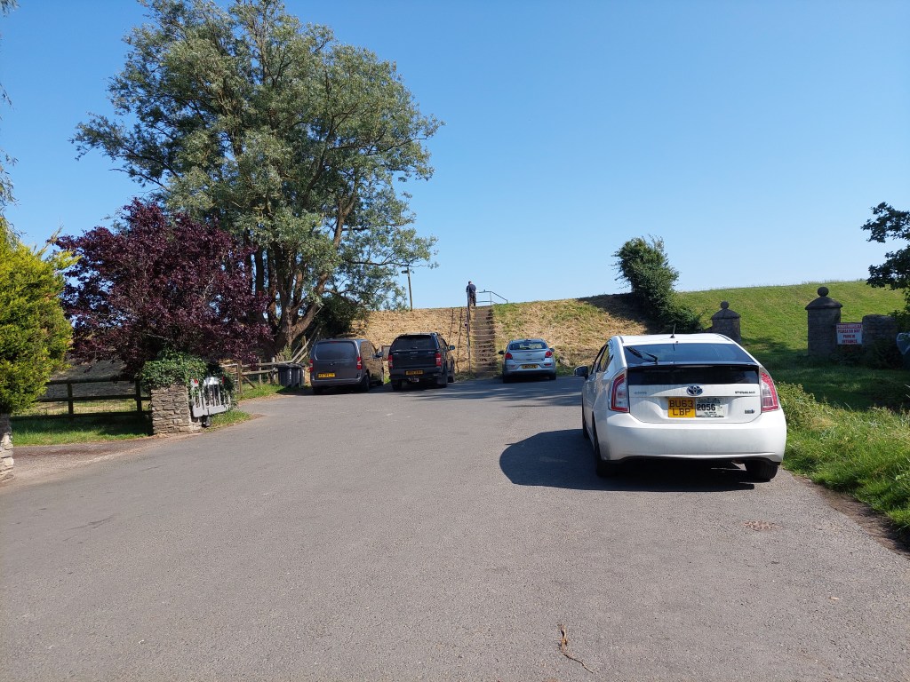
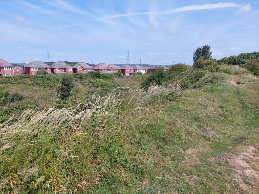
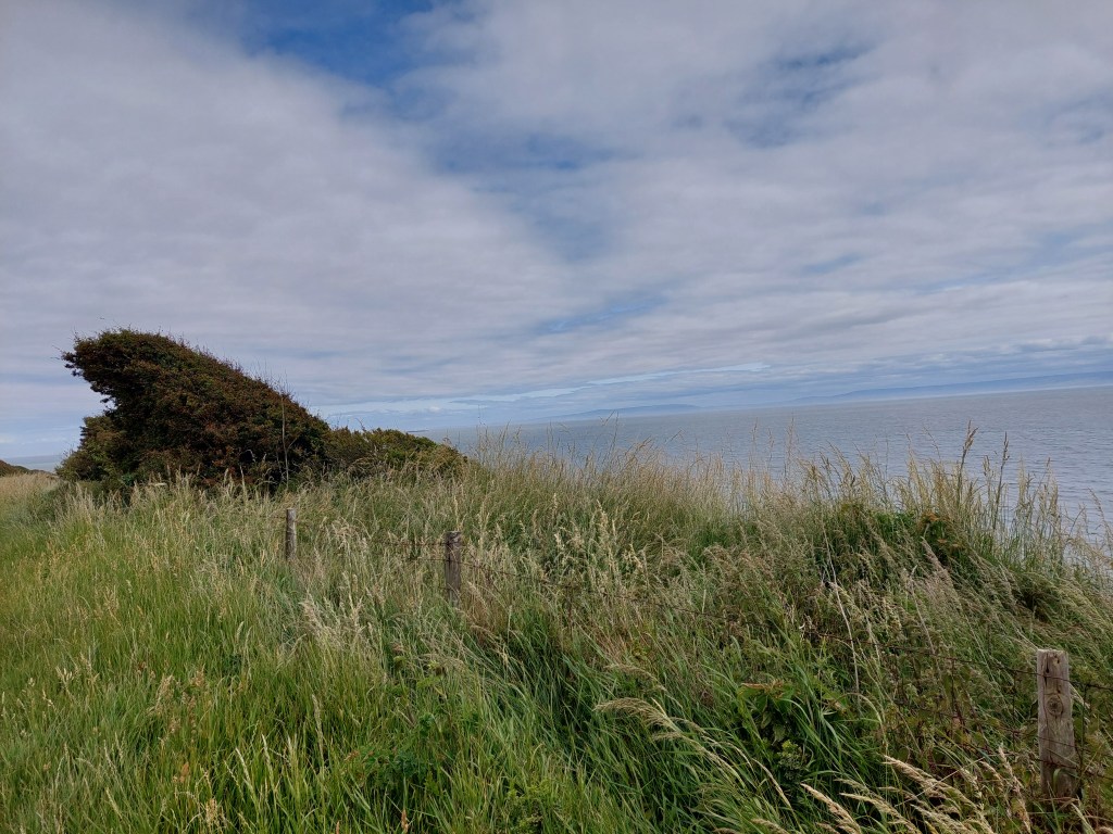
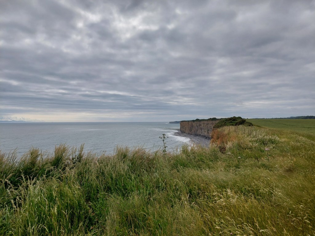
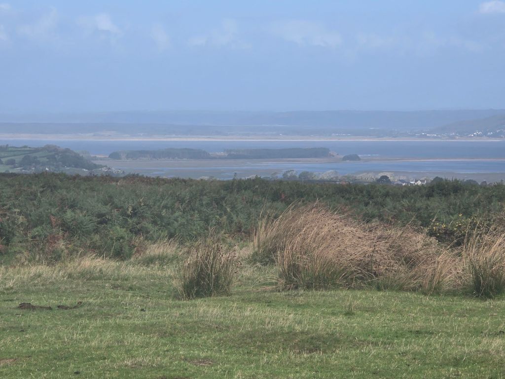
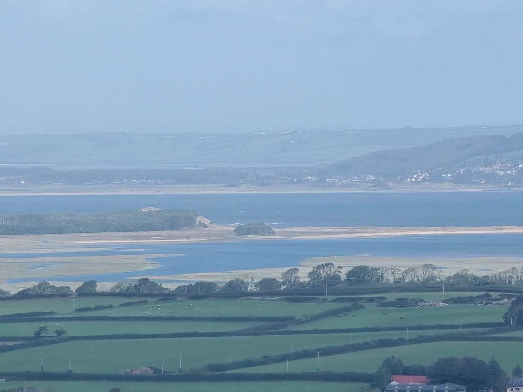
On Thursday I decided to take an easier day – I drove up to Fairy Hill and walked along the top for a bit in both directions from the viewpoint to take in the view and the beauty of the Gower! I then went on to Southgate for a good coffee and chocolate cake and then took a leisurely drive back to base camp.
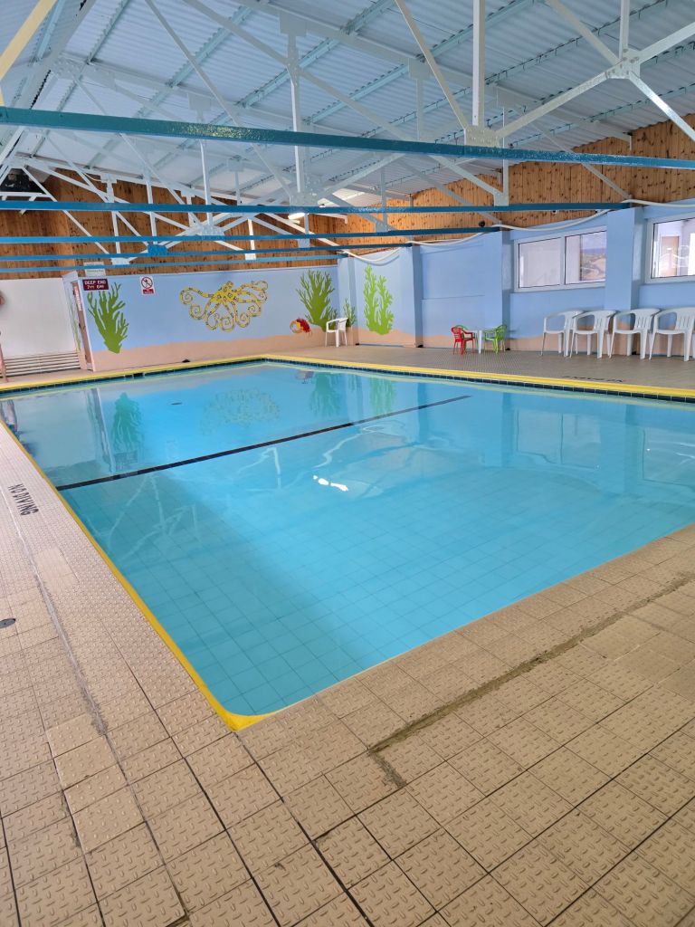
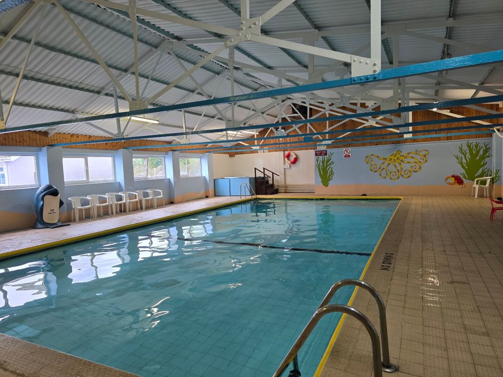
Having a base camp with a swimming pool and spa bath has been a bonus too on most days for my aching leg muscles…
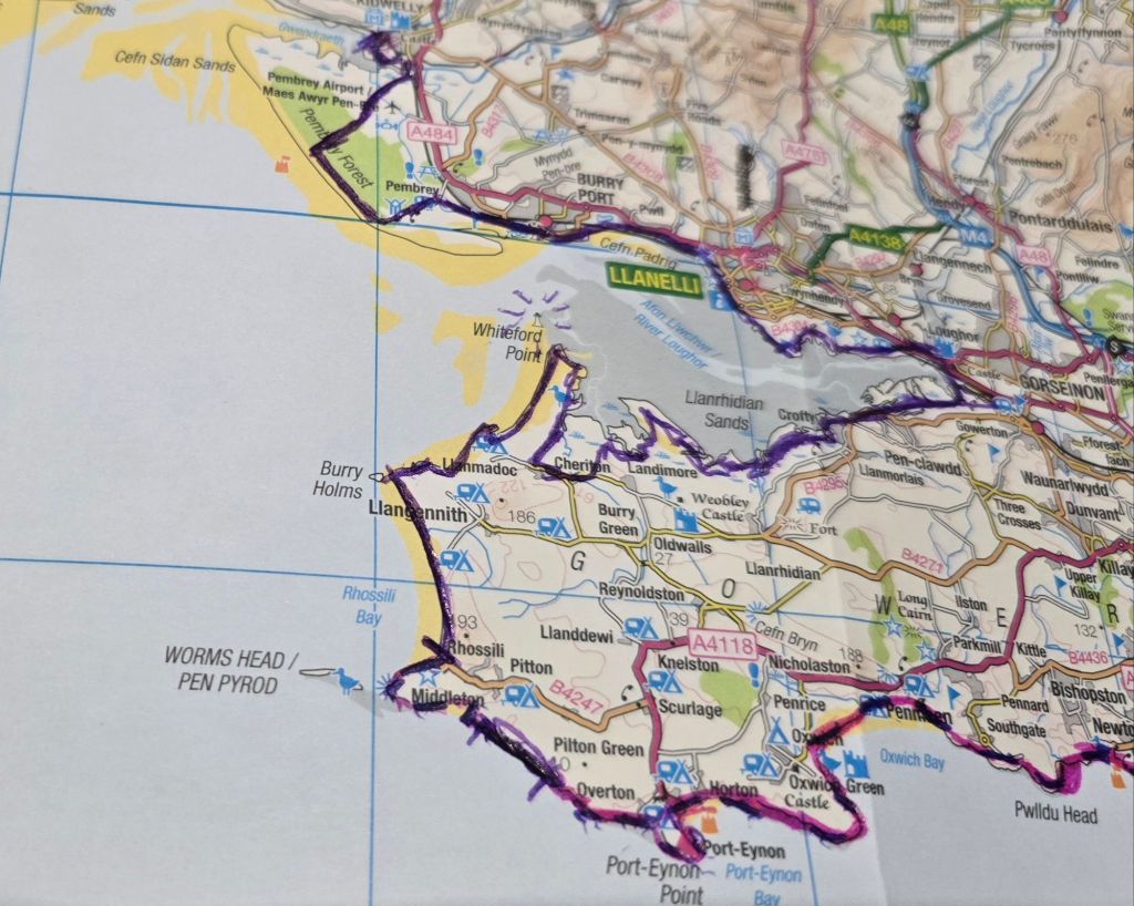
Overall I am very pleased with my progress on this break – adding 56 miles to my coast path total, and doing over 88 miles in total (I did several circular walks this time which mean a lot of connecting and off trail walking!). The progress map shows why I have seen the iron lighthouse on most days! It is the purple line – a bit between Port Eynon and Rhossili and then all the way from Rhossili to Kidwelly station – result! I cannot commend the Wales Coast path highly enough! Give it a whirl!
Filling in some gaps  and lots of rain

On the trail steps 29909 miles 13 – Off the trail steps 18999 miles 7.5. Total Miles over 3 days 20.5!

Saturday dawned and I drove first to Halfords in Llanelli. The car needed a new battery as I have been struggling to start it (and have once had to call Green Flag on Thursday!). It was rapidly acquired and fitted and the car is back to starting without  issues! (Mr Greenflag had said it should be OK but it really wasn’t!).  I then drove back to Bynea car park at the start of the Millenium trail. After an eventful 10 minutes trying to evict a dopey wasp from the car, it was finally dispatched.

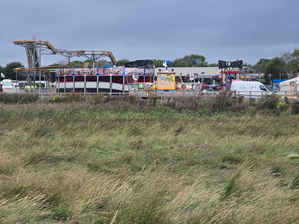
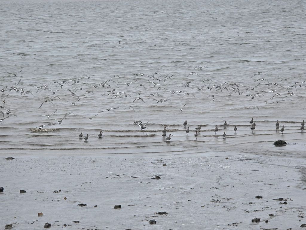
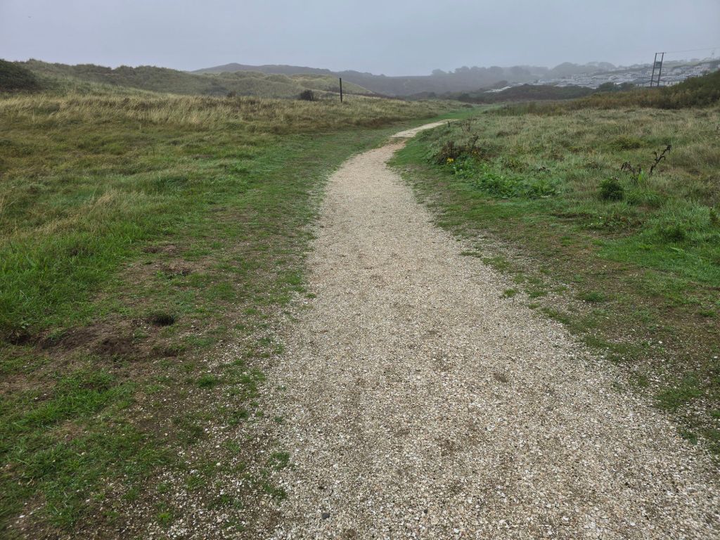
I was about to set off when it started to rain, so I was slightly delayed putting on my waterproof trousers. It was a good job I did as it rained on the trail and quite hard for most of the first 90 minutes or so. I crossed a joint road and trainline footbridge at the start and it was easy walking mostly on a combined walkway and cycleway. I was repeatedly passed or overtaken by cyclists and joggers, and only met a couple of walkers. Early on the estuary was visible and I saw quite a few sea birds but most of the way the path was up against the sea wall or heading way from the coast into woodlands so the views were limited. There was also a theme park at the start too

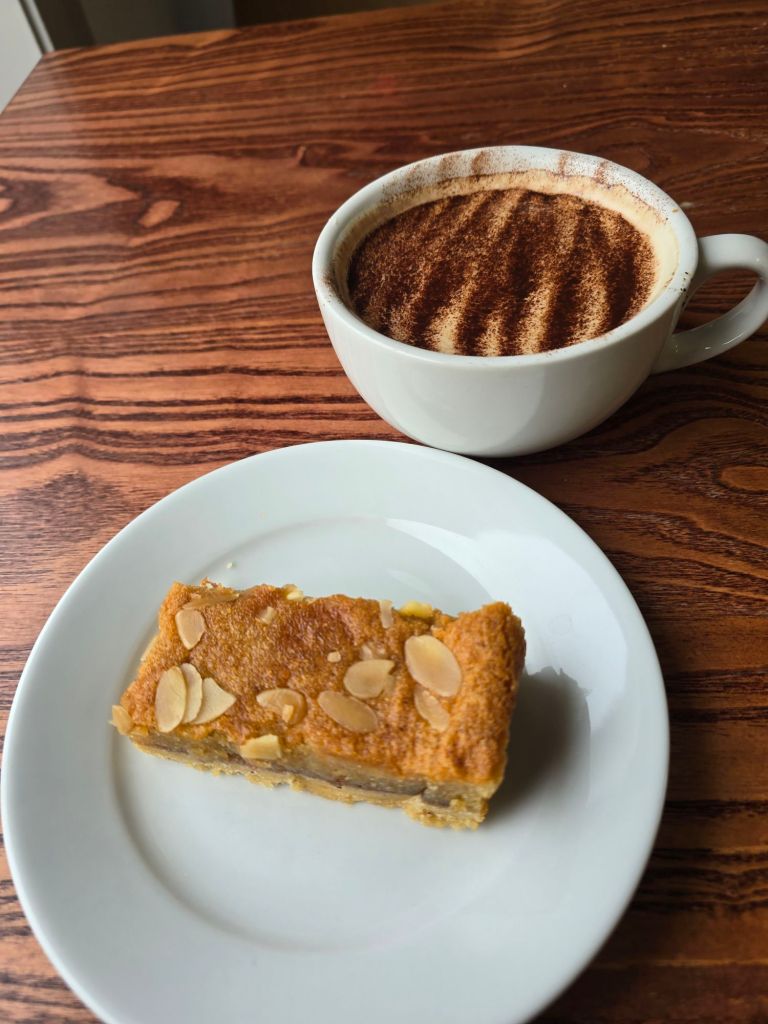
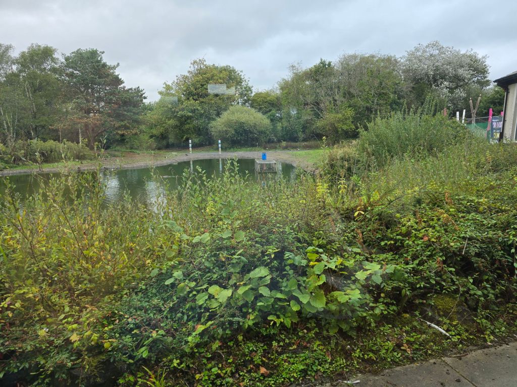
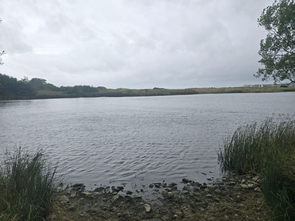
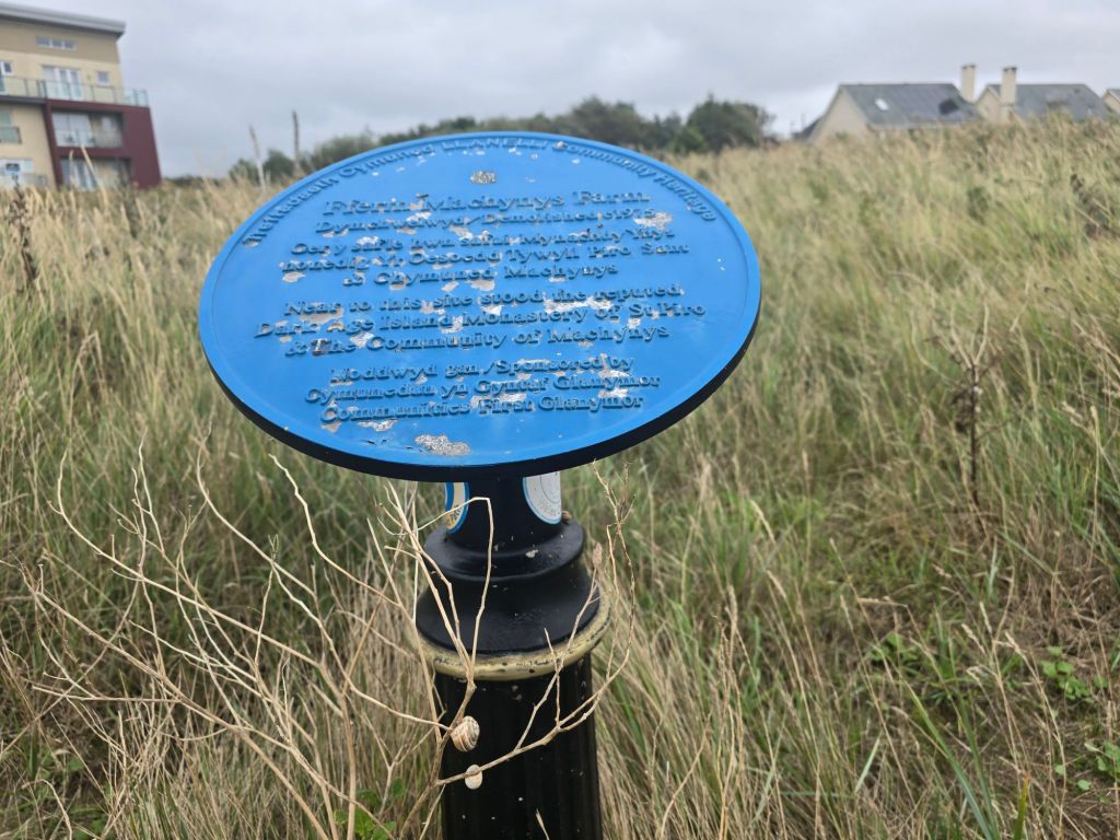
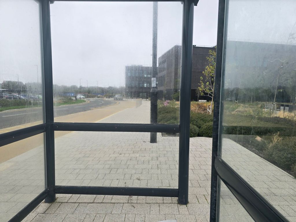
I took a detour into a Wetlands centre to dry out a bit and had a very welcome coffee and a piece of bakewell slice. By the time I re-emerged it had stopped raining and I did a few more miles on the millenium trail. It came out near a golf course and a lake,  and then closer to the shore, near a large new housing estate. I was getting weary so I used an app to plot a route back to the car. I established a touching point and set off inland to a bus stop outside Pentre Awel. I took an L2 to the bus station in Llanelli and then a 111 back to Bynea and a short walk back to the car.

I was extremely careful not to allow any more wasps to enter the car and the car started like a dream..

Sunday – Athene had joined me and we plotted to do the missing section from my last trip inbetween Port Eynon and Rhossili. As it was Sunday we did a quick trip to Rhossili to leave one car and the other at the Port Eynon car park. We retraced the path I had taken (with a brief false start) coming out near to the coast path after about a mile and avoiding the headland out of Port Eynon, which I had already done.

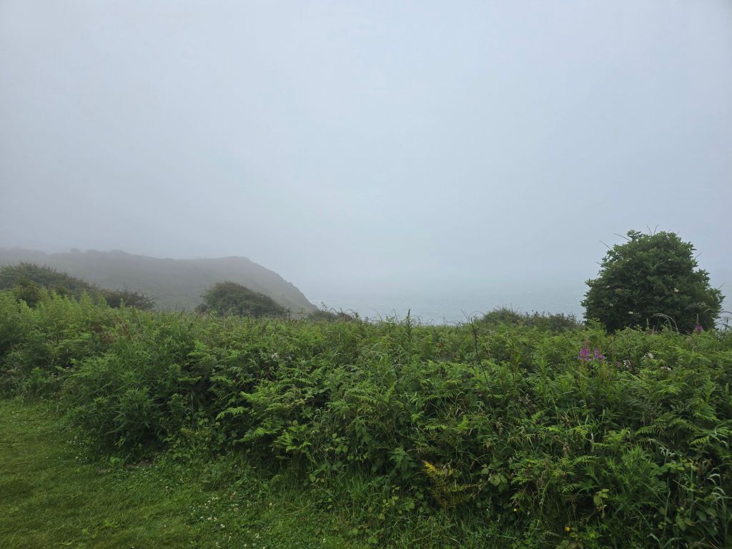
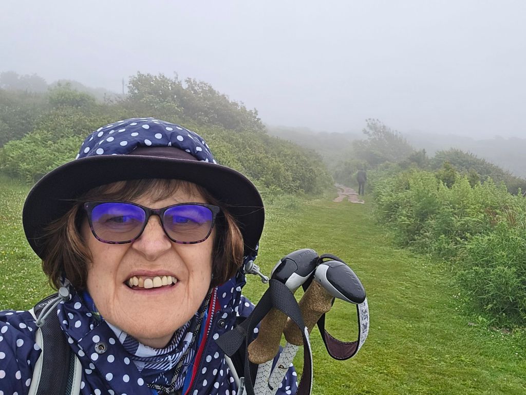
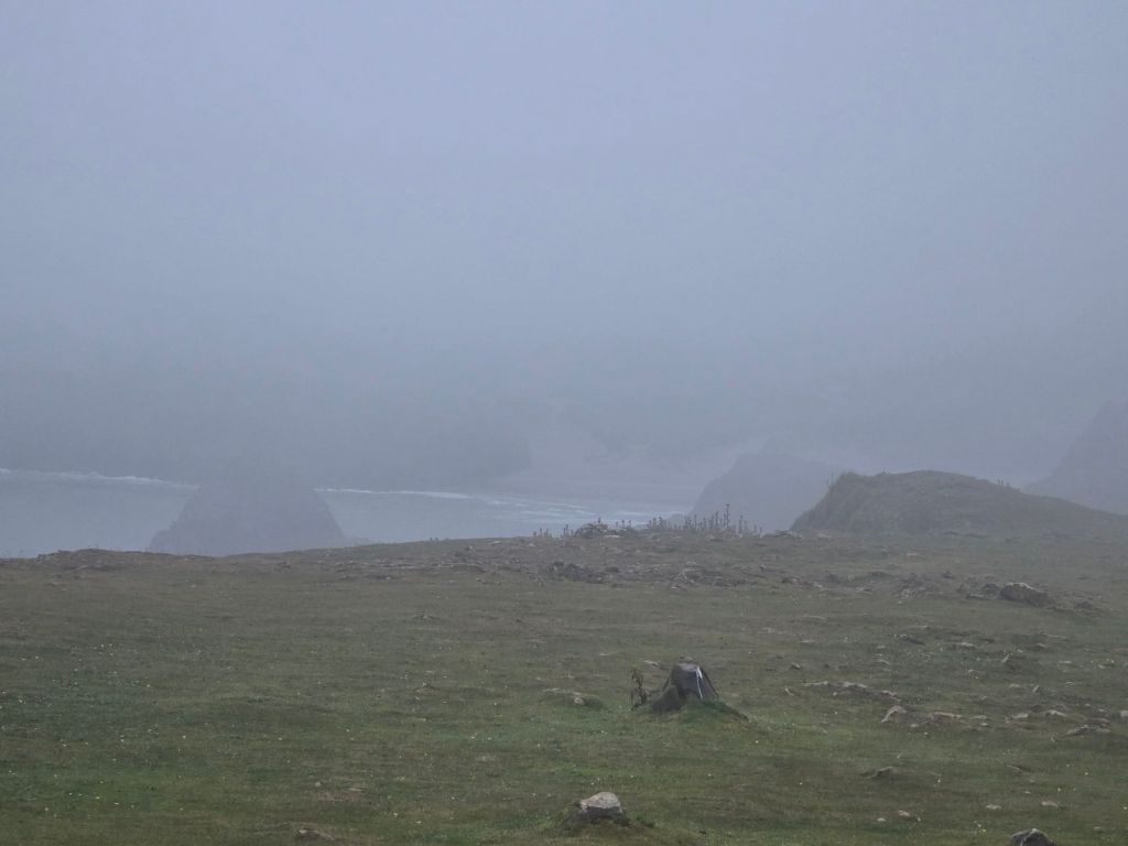
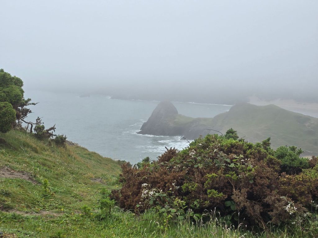
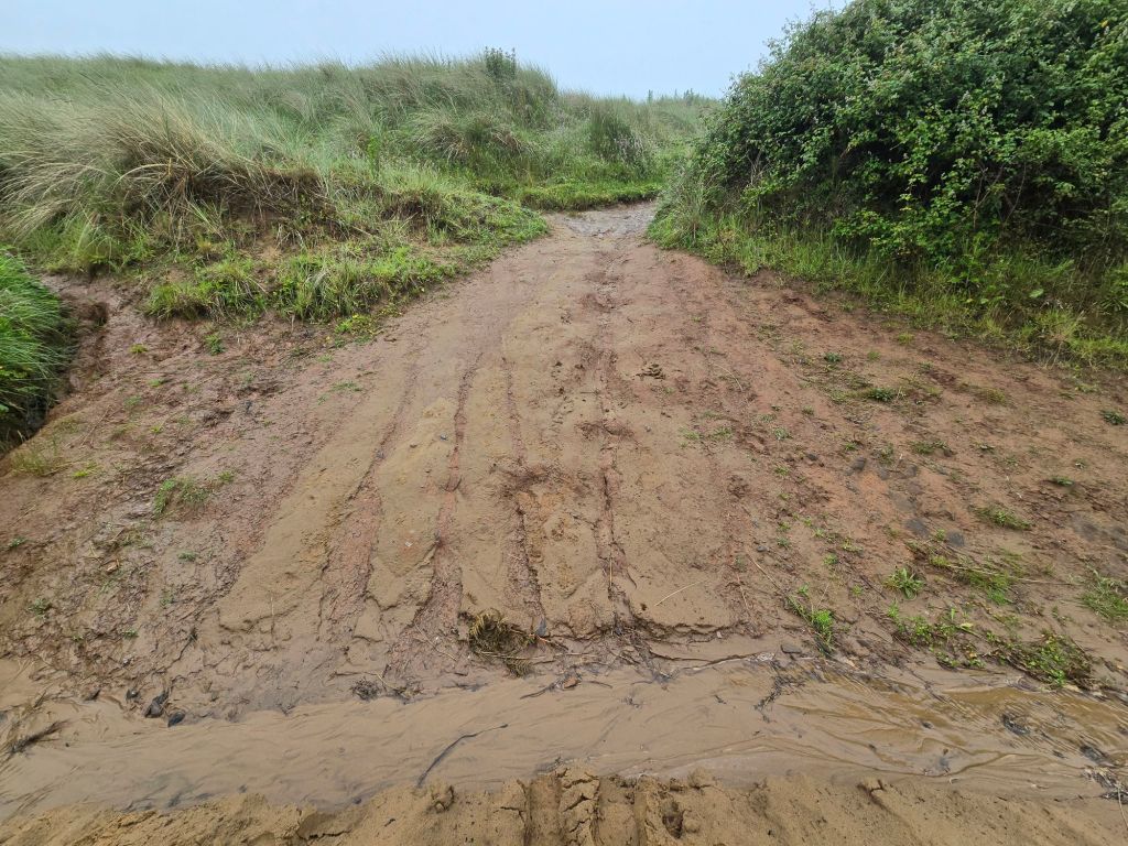
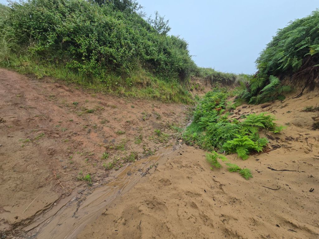
I reconnected with the touching point, I had used in June and we set off on the trail. The weather was not kind. Low cloud, rain, cool and poor visibility and it also made it rather soggy and steep descent was tricky due to wet rocks and red sticky mud! I had carefully studied the walk book which said there would be 3 tricky descents/ascents and it was very true about the descents.

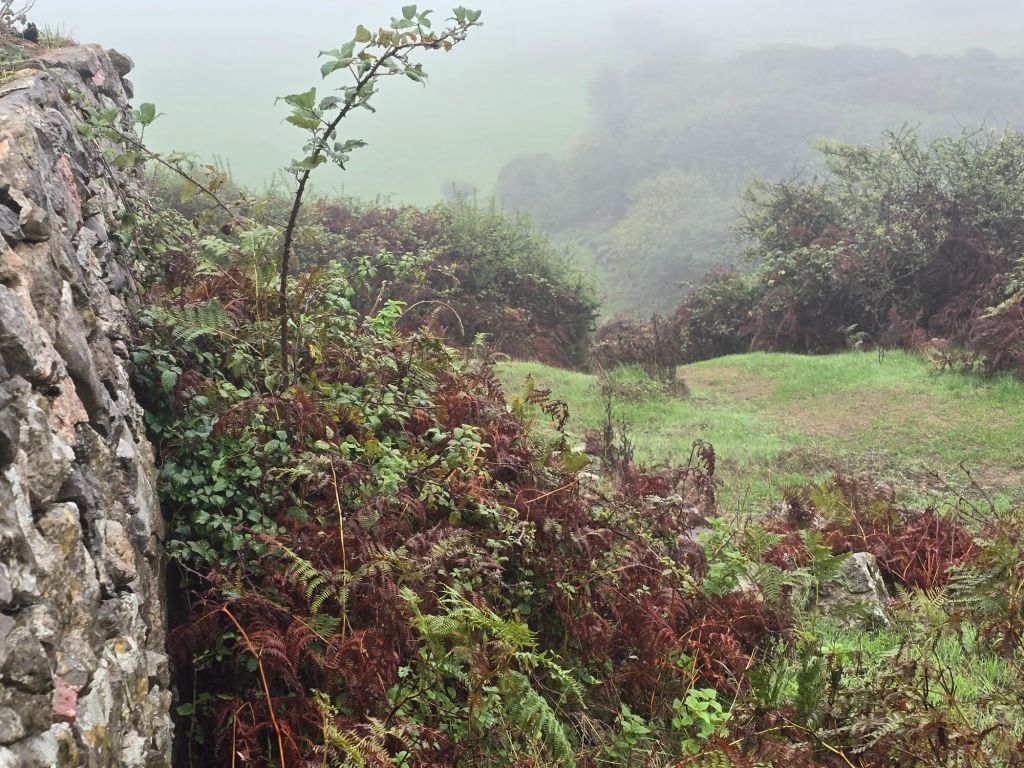
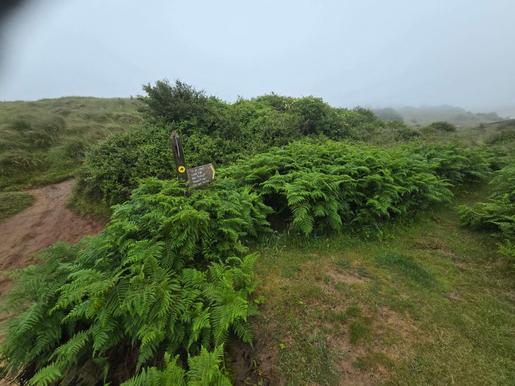
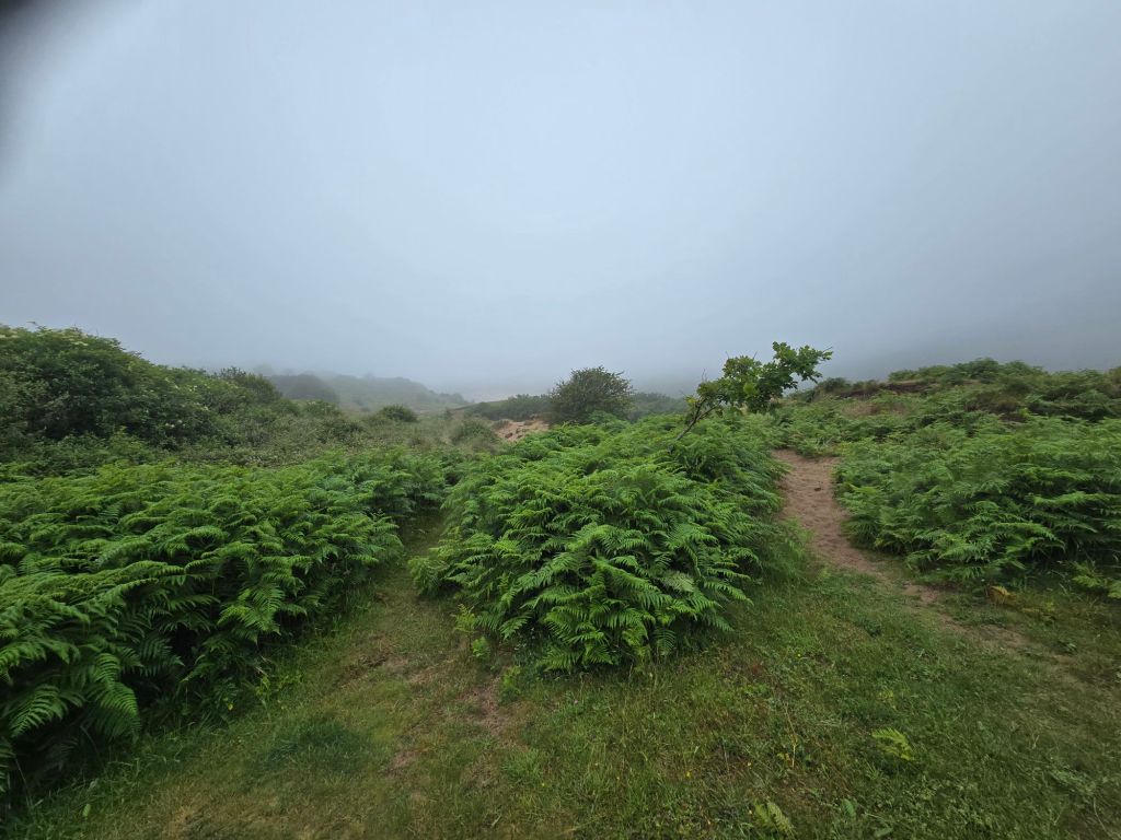
It had an eerie quality to it but several long easy stretches on the headland. It was a shame about the views, we only got occasional glimpses. It was the toughest walk I have done on this trip and the going (especially on the steep descents) was slow. We stopped for a coffee on a wall and shortly after that encountered some cows and calves on a very narrow path. Athene tried to move them on but in the end we decided to cut across a couple of fields instead and rejoin the path further on. We met more cows but managed to get past these without any mishap on a much wider expanse of headland.

We got into the final dip above Mewslade bay before finding a suitable lunch slot. We decided to take the inner route back to Rhossili (again which I had used the previous time I was here having already done the coast path from this point as before). We had a little bit of difficulty finding the path and had to get to the other side of a large wall first. We came up a  bit further along on a path I had used before (rather than exactly where I had left the coast path in June). As it was ground already covered I made a touching point and we set off into Pitton. We took the path that had been really overgrown from Pitton to Rhossili in June and the good news was it had been cut back. We were soon back in Rhossili and then did the quick trip back to Port  Eynon to pick up the second car – before tea and carrot cake at base camp (once both of us had completely changed out of some very wet things!).

It was good to have managed to bridge the gap and to have had company on quite a challenging (at times) route!

Monday dawned and it was still wet with low cloud (though warmer and humid). I decided to plug my other gap between Broughton and the start of the path to Whiteford.  This was a shorter walk which was helpful as I was a bit stiff after yesterday’s efforts. I had not done this last Monday as the road access was closed. I parked at Broughton caravan site – which turned out to be free which was welcome.

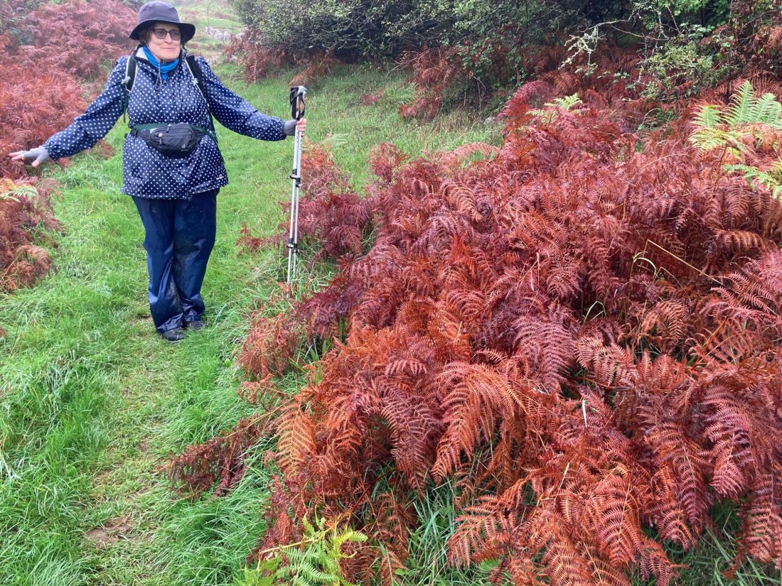
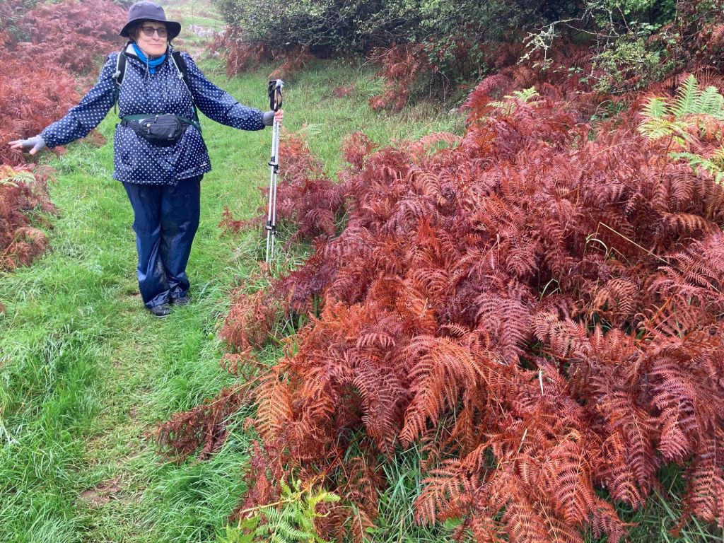
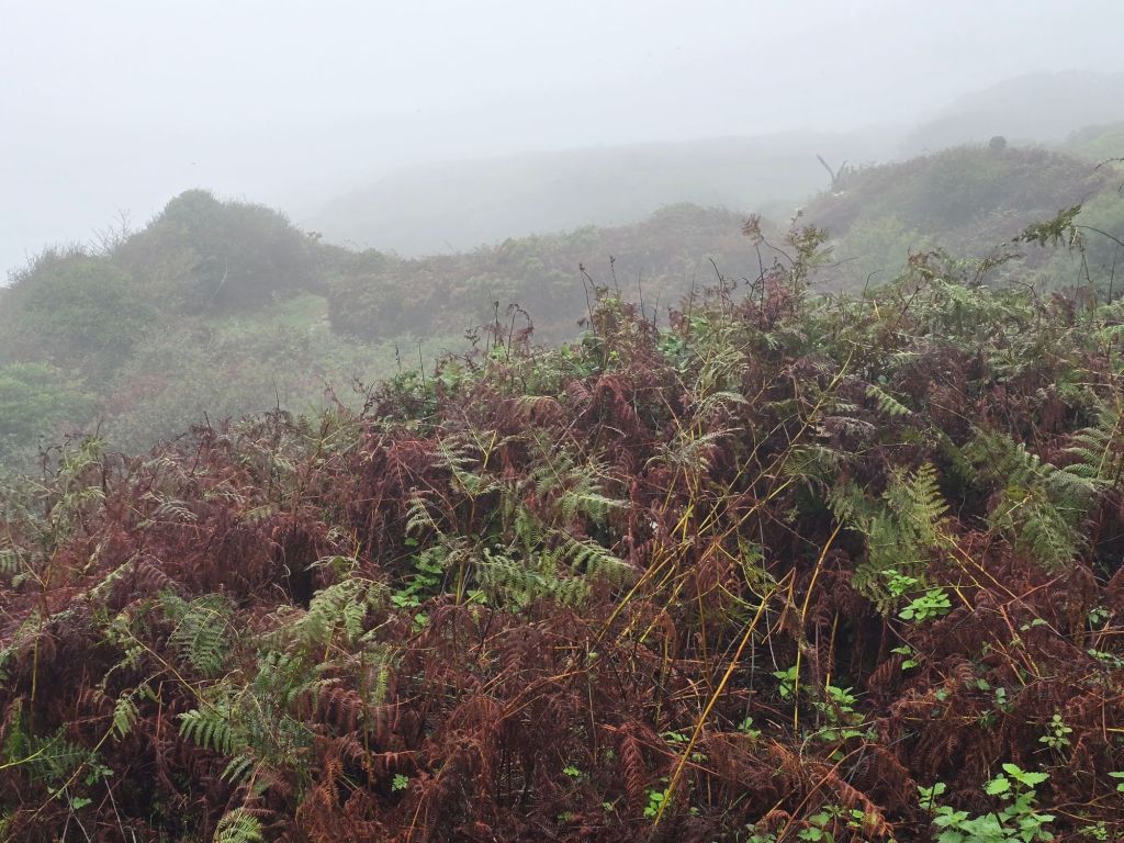
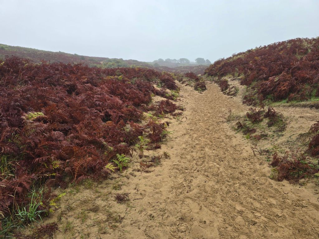
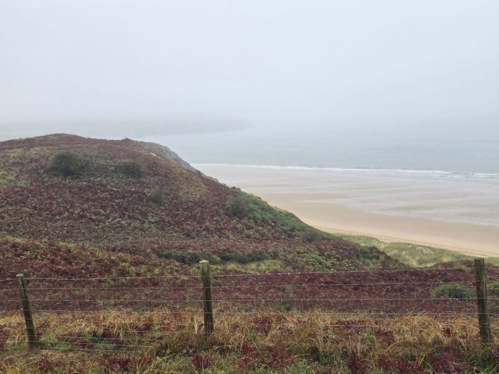
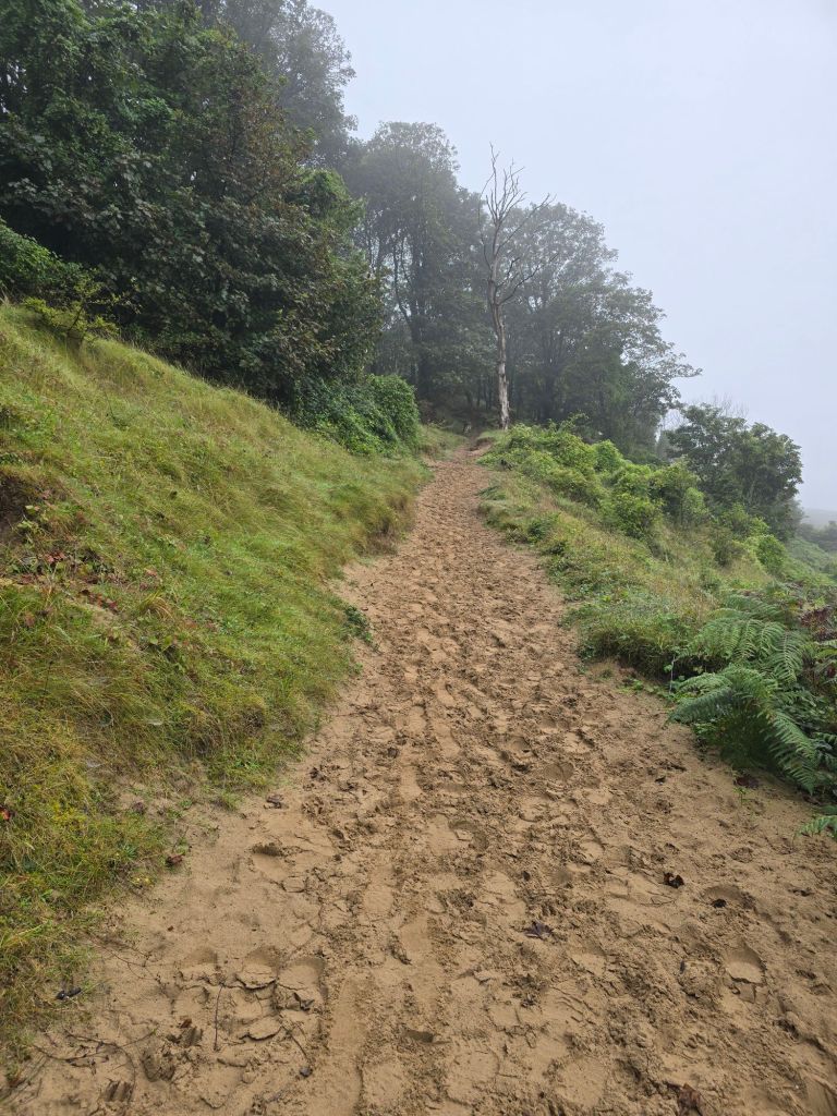
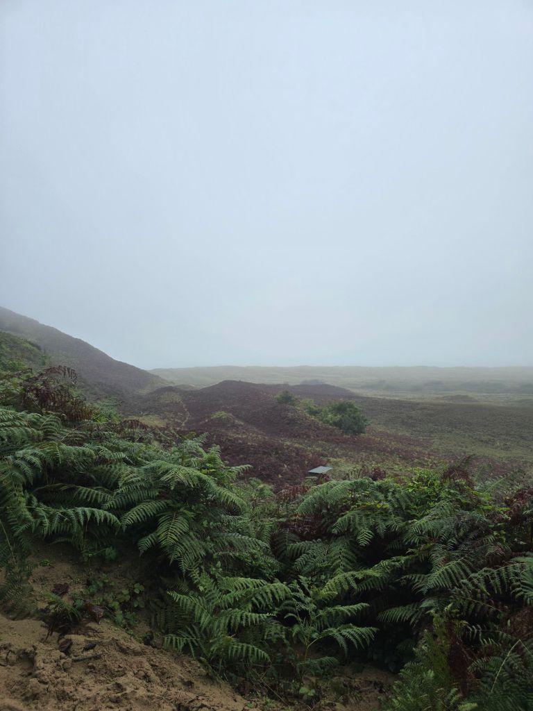
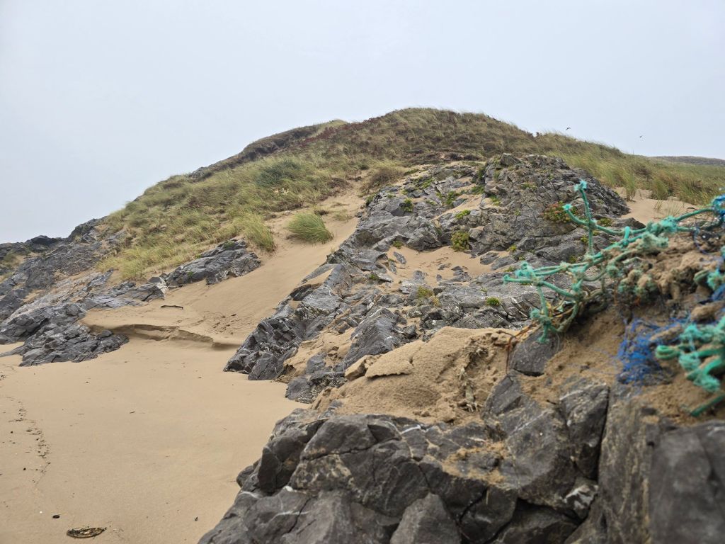
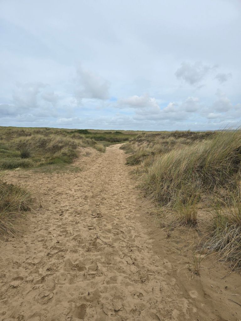
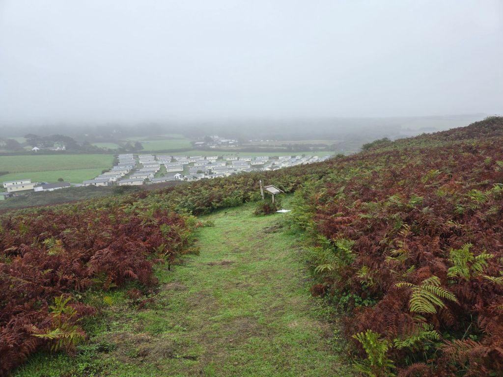
I did the route out on the coast path – through the caravan park (and the touching point) and then about a mile of dunes, and then a big up on a sandy path – which improved to a grassy one still going up. There was more of the very rusty coloured bracken we had seen yesterday – which was quite striking. I stopped for a coffee on Hill tor having gone off the path (and was disturbed by 2 other walkers!). I suspect they didn’t realise I was there until they were virtually on top of me!

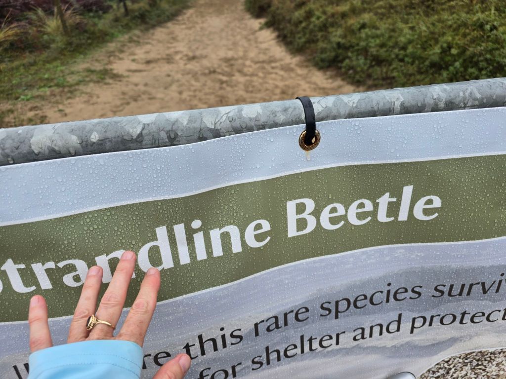
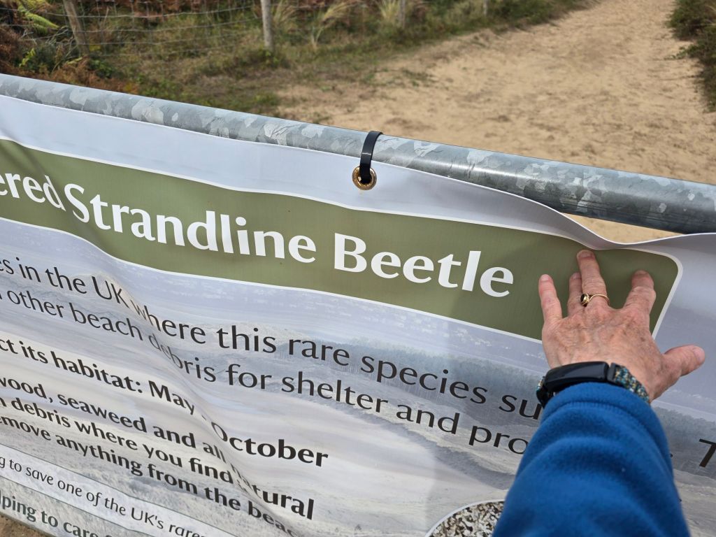
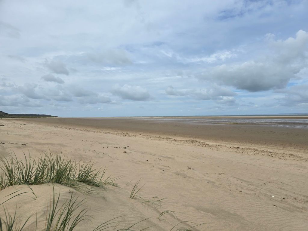
It was a steep sandy descent and then down to the sign about the beetles I had used as a touching point last Monday. I had to follow the coast path back to the dunes down to the beach, which added to the long stretch on the broad sandy beach (as I had to do a good ½ a mile in completely the wrong direction to achieve this).

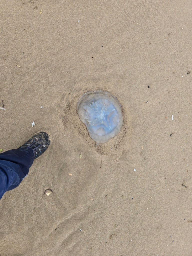
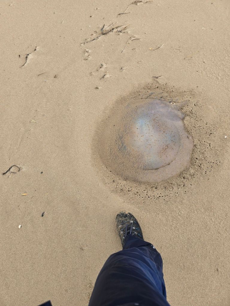
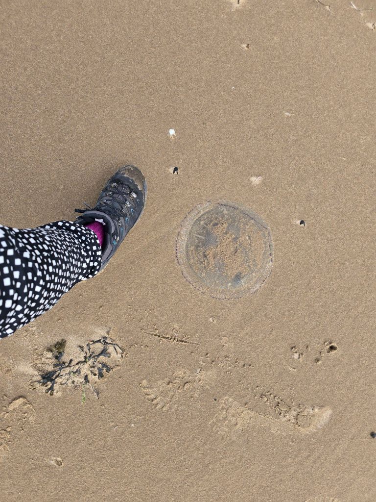
I saw several more large jelly fish near the tide line. Most of the way along the beach there was also a surprising amount of ‘excrement’ not sure of the source at the tide line too  – hard to believe it could all be from live stock that were not in evidence. Disappointing for a beautiful spot.

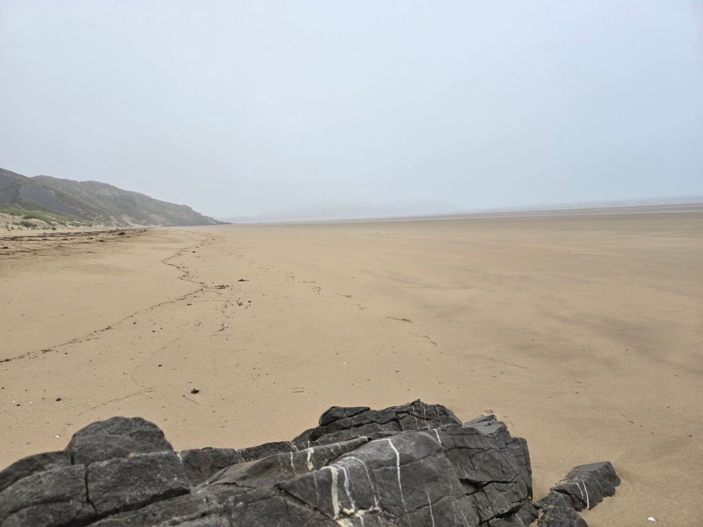
The weather was less than great and I was walking into a surprisingly strong wind on the beach – strong enough to blow sand and lots of rain at me all the way back to the caravan park.

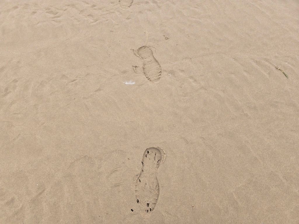
I followed another set of footprints at times as the sand was quite ‘sinky’ in places. I saw several dog walkers and eventually made my way back up in to the caravan park and back to the car. I was wet enough to have to change again when I got back to base camp.

I have now managed to get from Port Eynon all the way to the edge of Llanelli on the trail on this trip….

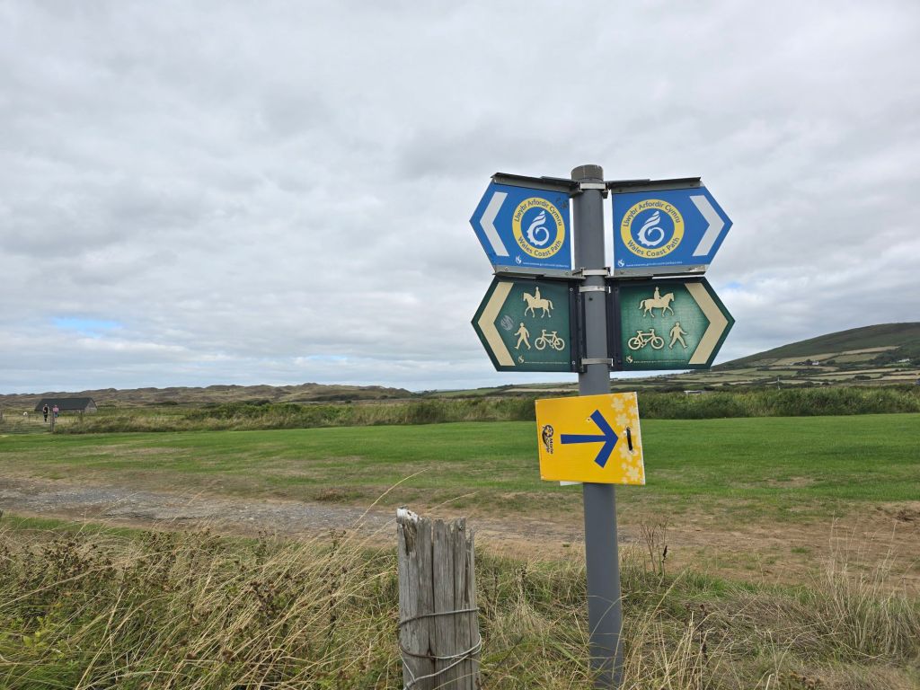
Back on the Wales Coast path – Walking from Rhossli to Llanrhidian

On the trail steps 36321 miles 15.72 – Off the trail steps 24891 miles 10.48. Total Miles over 4 days 26!

On Friday I got away quite early and was pleasantly surprised that my efforts were rewarded by a reasonable experience of the M25! (much against my expectations). I made steady progress stopping a couple of times, and then eating a late  lunch after a trip to local coop to top up on fresh stuff.

Base camp is a well equipped (and reasonably minimalist) chalet quite a long way down the Gower. The bonus news is that there is a swimming pool and jacuzzi – which will be very welcome for aching leg muscles! I settle in and so far I have only forgotten to bring a microwave animal in case it gets cold at night!

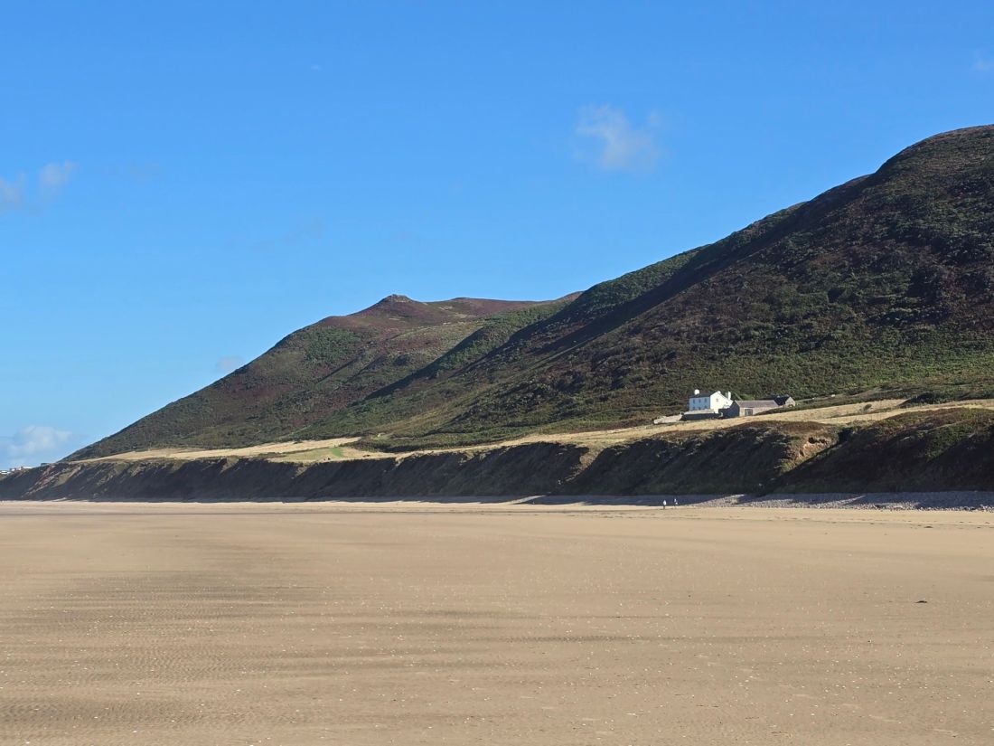
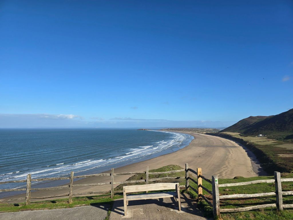
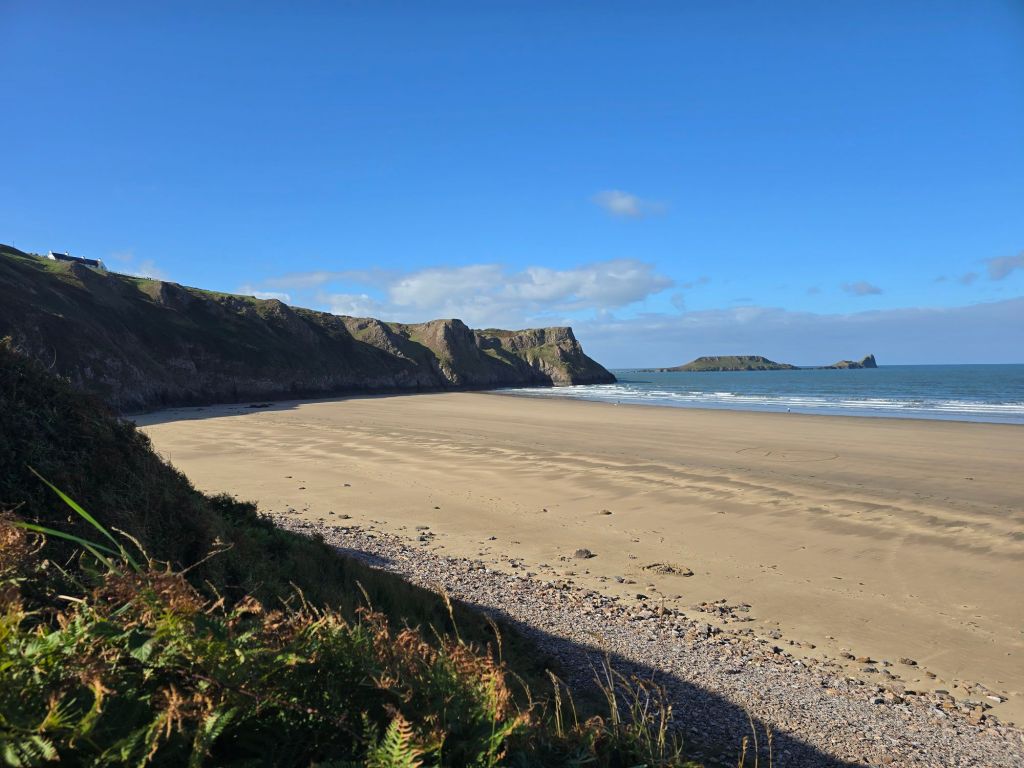
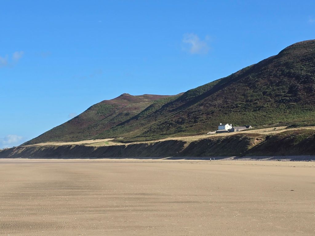
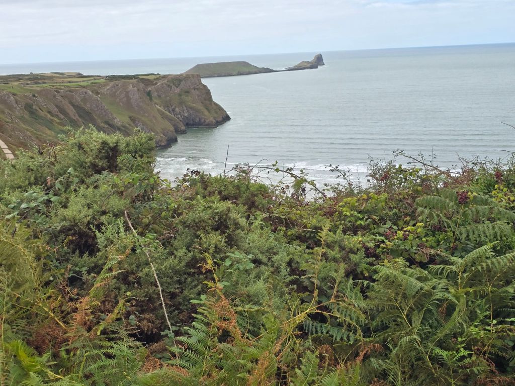
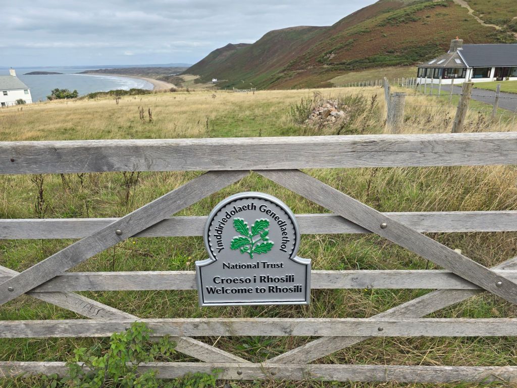
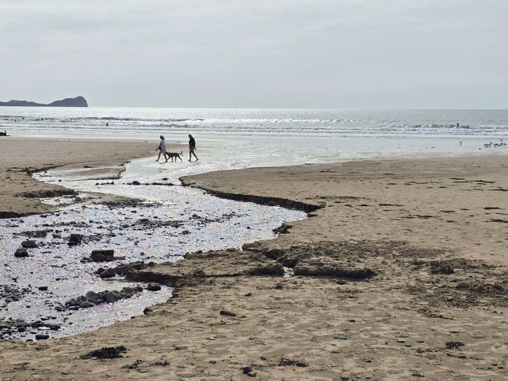
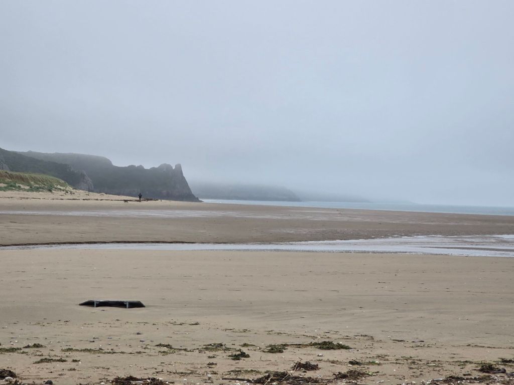
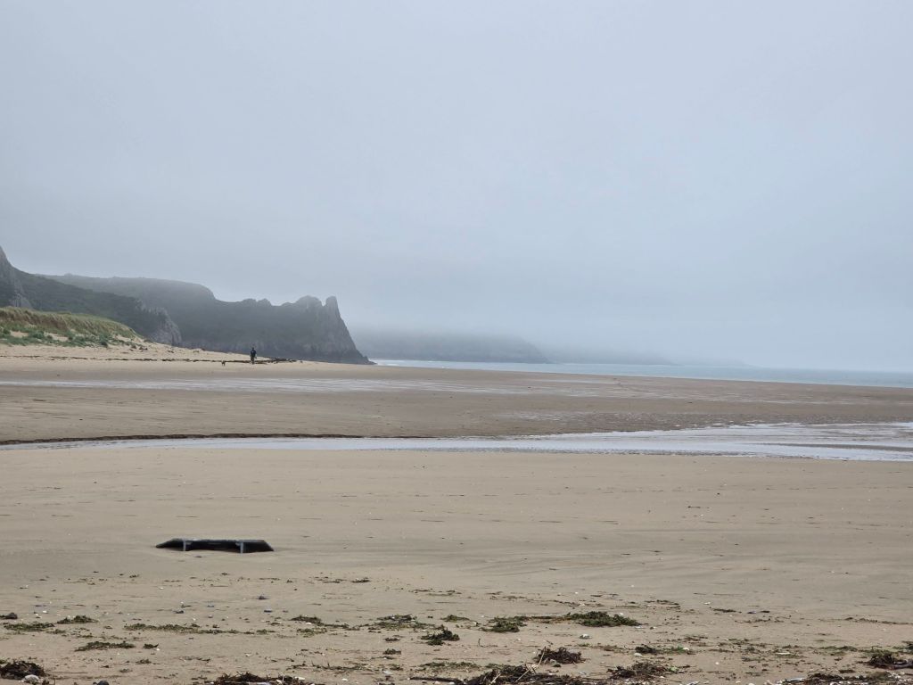
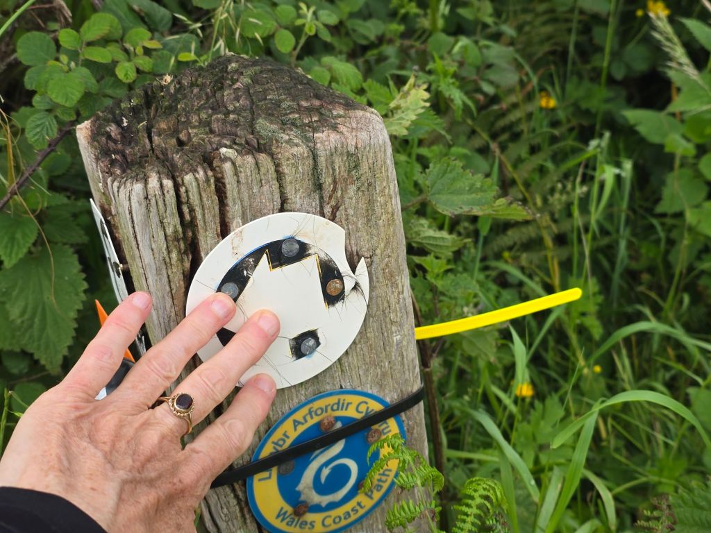
Saturday morning dawns, bright and sunny. I return to Rhossili – such a contrast to my last visit when I got soaked to the skin! I find the touching post from last time, and set off down to the beach. The plan is a circuit on the beach on the way out and back on the coast path. It is a beautiful spot and I manage the steep concrete path with lots of steps down to the beach – near to where the Helvetica (ship wreck ruins) were clearly visible.

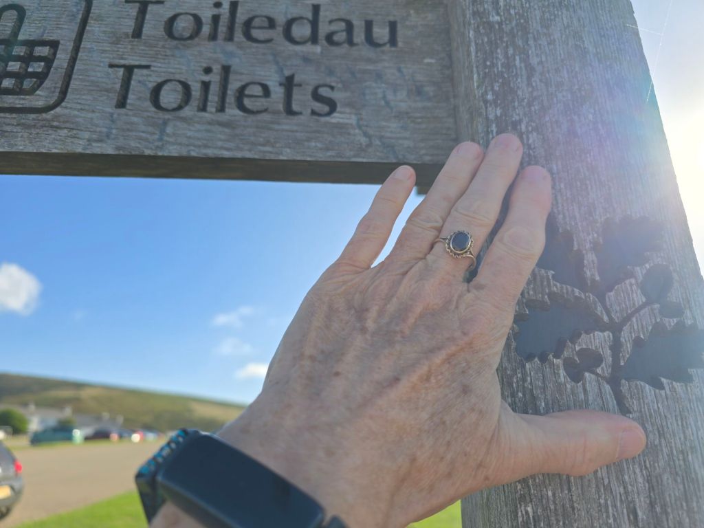
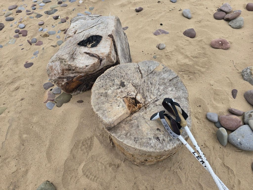
I walked a couple of miles and it began to cloud over. I realised in my enthusiasm for the sunshine I hadn’t picked up anything waterproof so I was thankful it didn’t rain! I had a coffee sitting on a cut log circle (and used it as a touching point), and then headed inland through the dunes to pick up the coast path. This wound through a caravan/surfing site and there were some very impressive toilets (which were very welcome!).

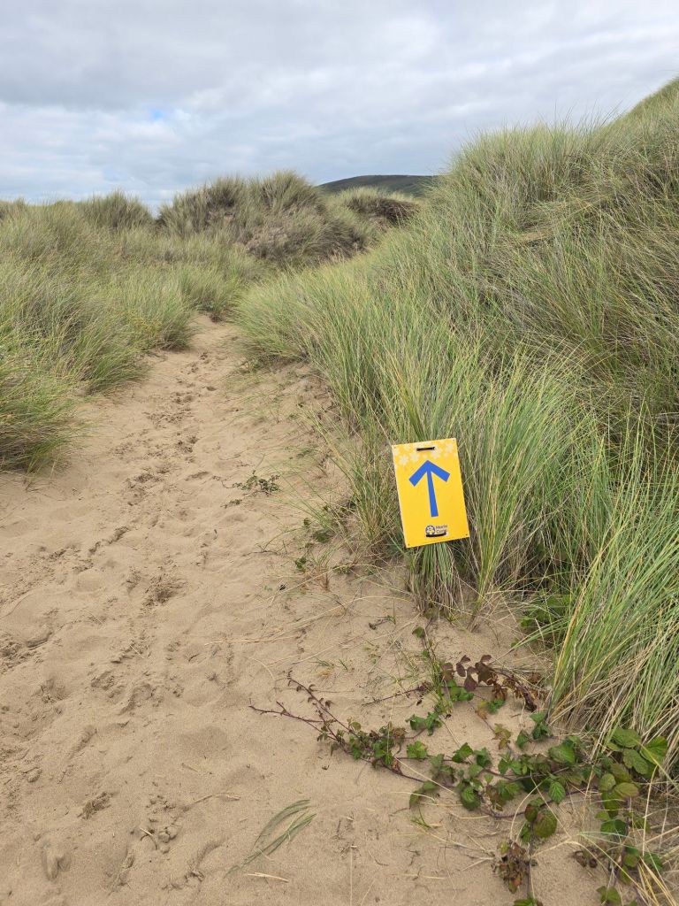
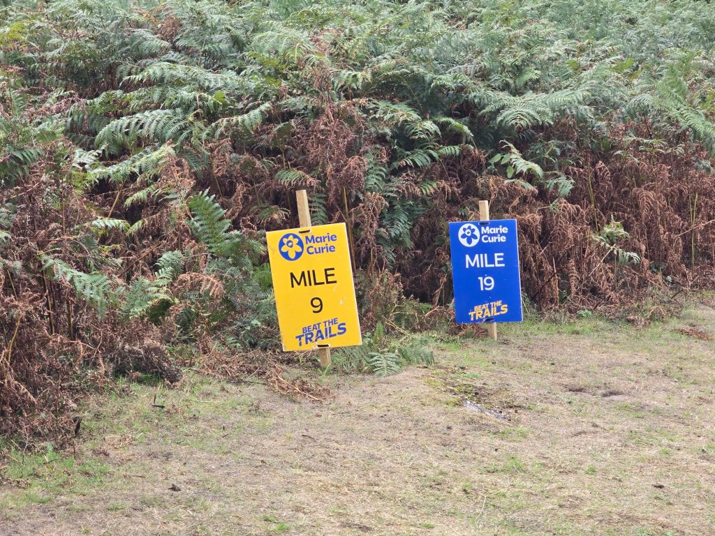
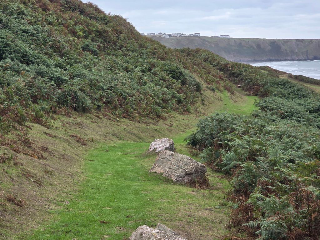
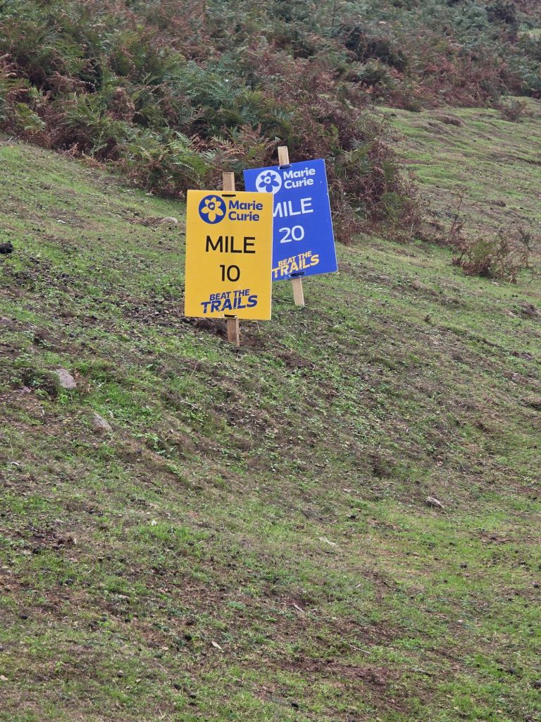
The coast path was on the route of the Marie Curie ‘walk Gower’ event, so it wasn’t very long before I was overtaken by a yellow clad 10  mile challenge walker! This path gently climbed back up to the Rhossili level over the 2 miles back. I passed the most scenically positioned Old Rectory – which had been used by the vicar covering Rhossili and Llangennith! No doubt getting on his horse to ride between the two!

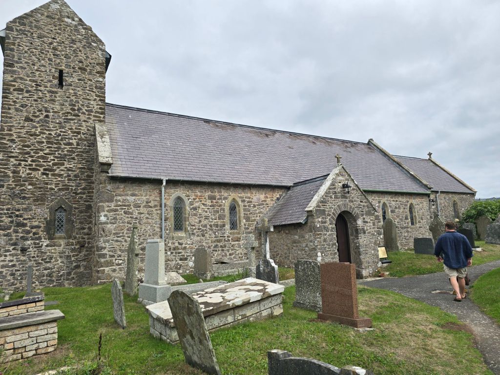
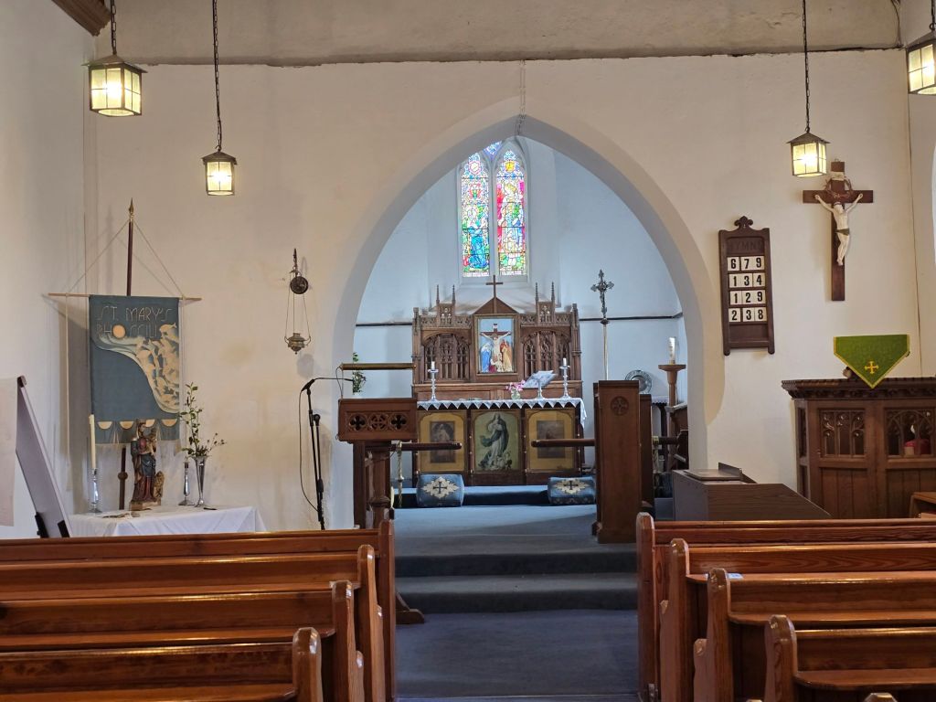
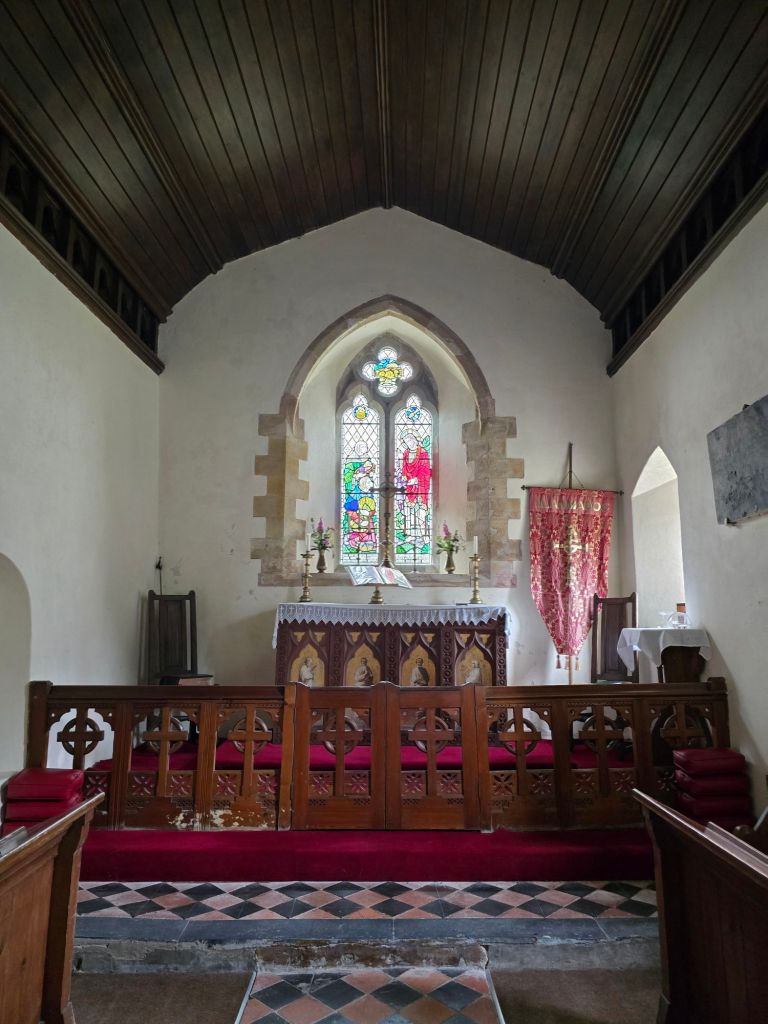
It was much greener than I am used to and there was even a little mud! (a rare sight this summer in Warlingham!). I popped into the church on the way past. I reconnected again with the touching point I started with. By the time I got back to the car, I had been overtaken by about 10 yellow walkers, and as I ate my lunch I watched a steady stream heading for the Rhossili finish line. I didn’t see any blue clad 20 milers though 2 brave yellow ones were also wearing daffodil headdresses!

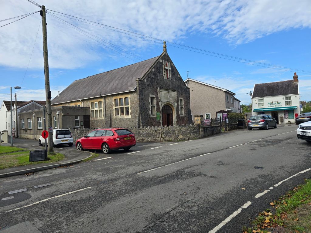
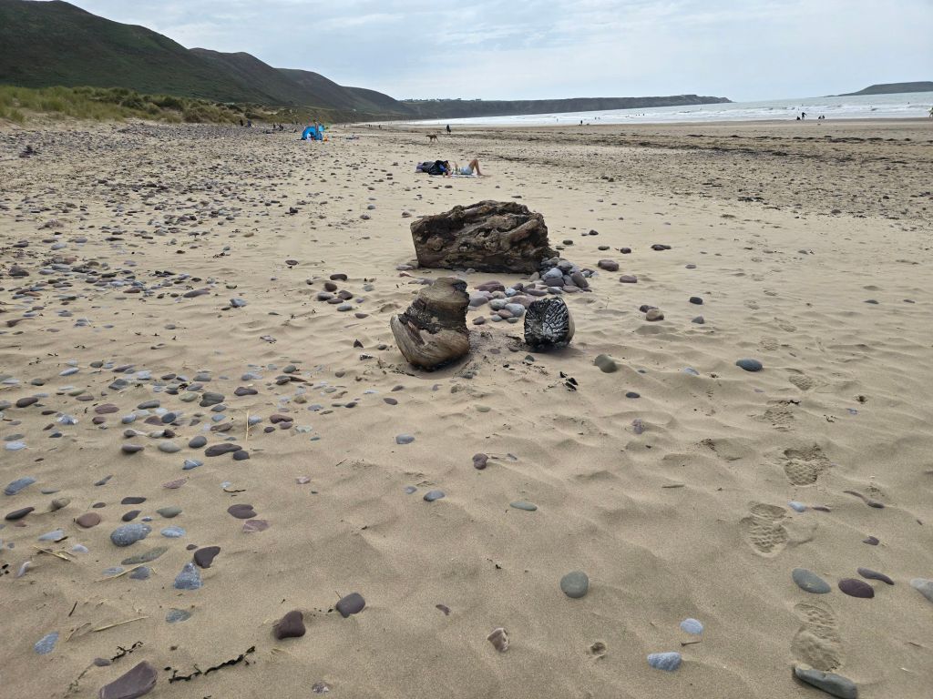
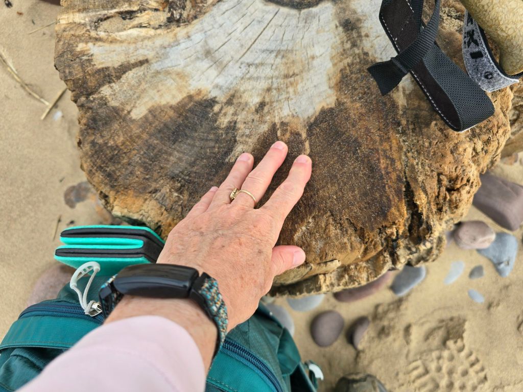
Sunday morning I went to the Methodist Church in Murton for worship – which featured one of my friends from theological college, and was a combo of thoughts about what it means to be a good neighbour in life and to the world. I drove back to Hillend (which was where I had left the beach on Saturday), and then got back to my log circle touching point. The only problem was that someone had set fire to  two of the logs – I tipped one on its side in an effort to put out the flames but the other bit was too heavy to move. I don’t understand why they had been set on fire.

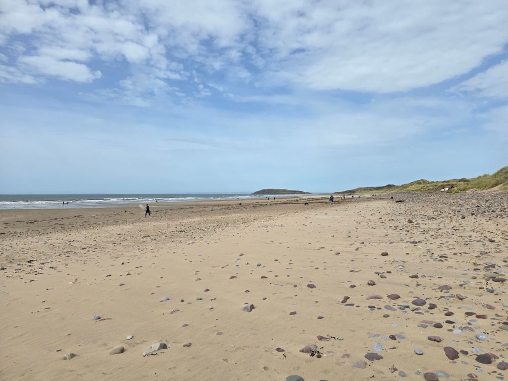
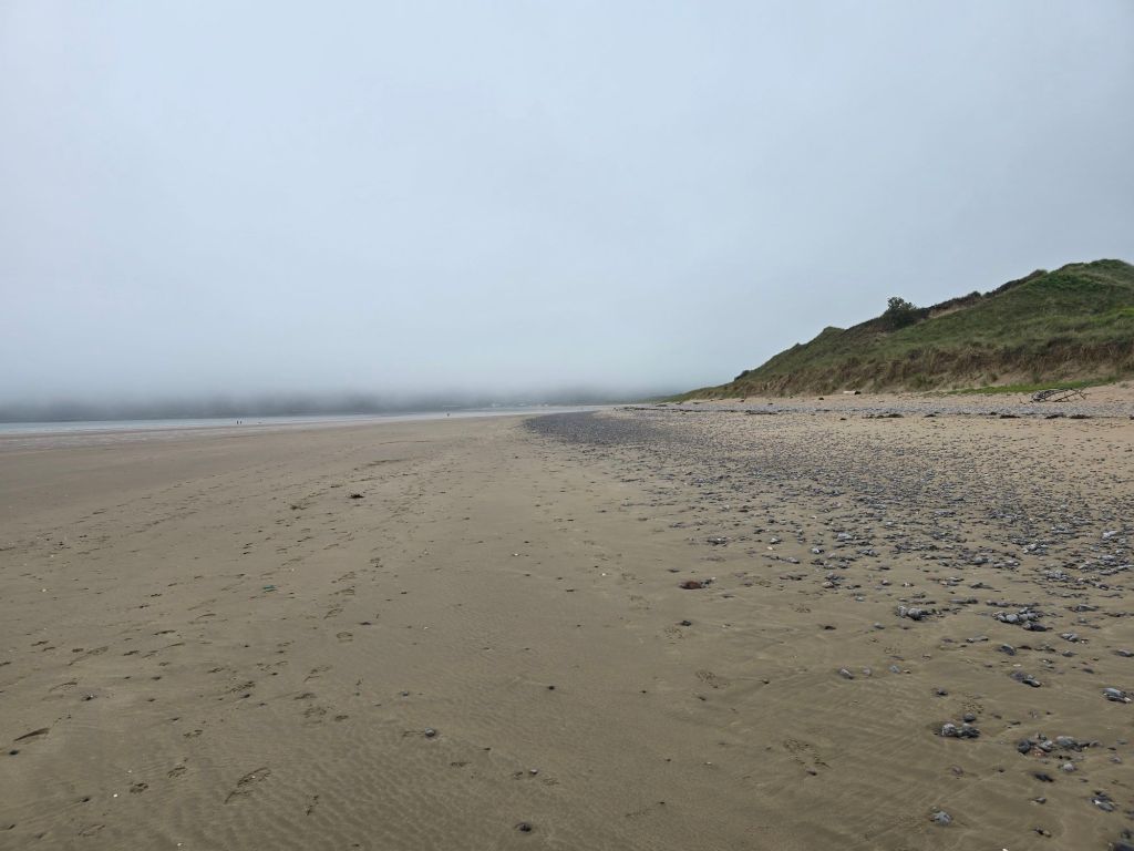
I used a neighbouring log circle as a replacement touching point, sat on it to have a coffee and then continued to walk down the beach. It was busy near the car park with the surfers and other folk enjoying the beach but after a while it thinned out to a handful of people walking the coast. I managed to avoid treading on a large jelly fish

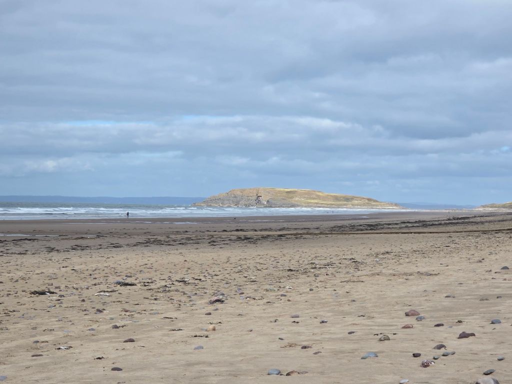
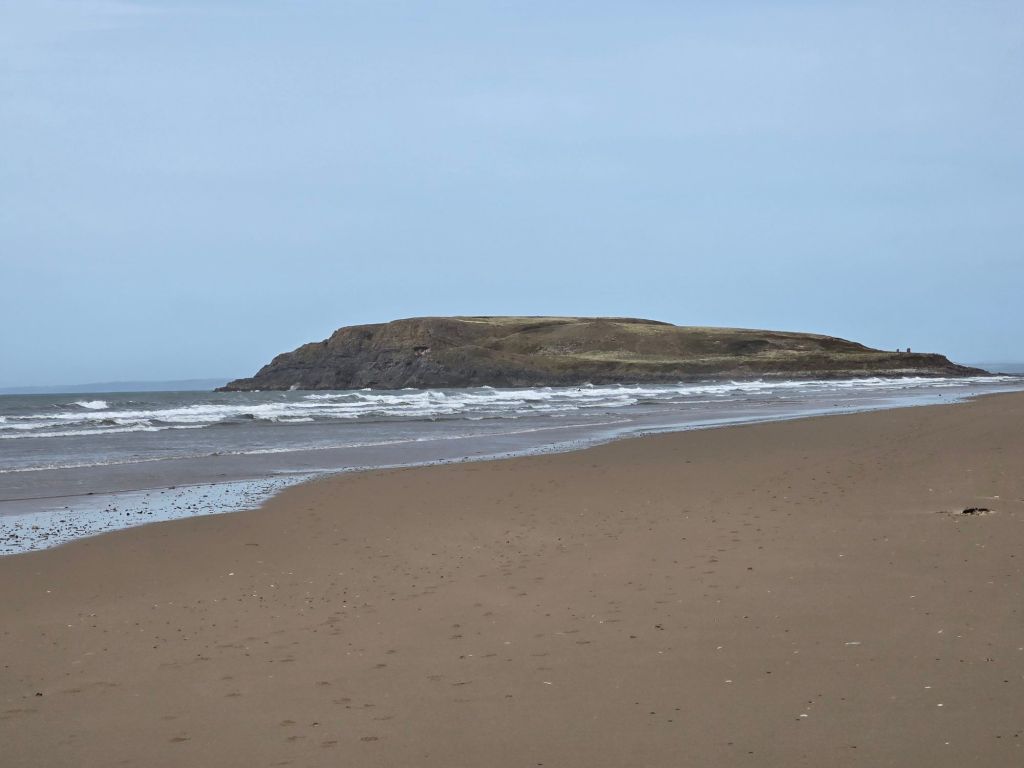
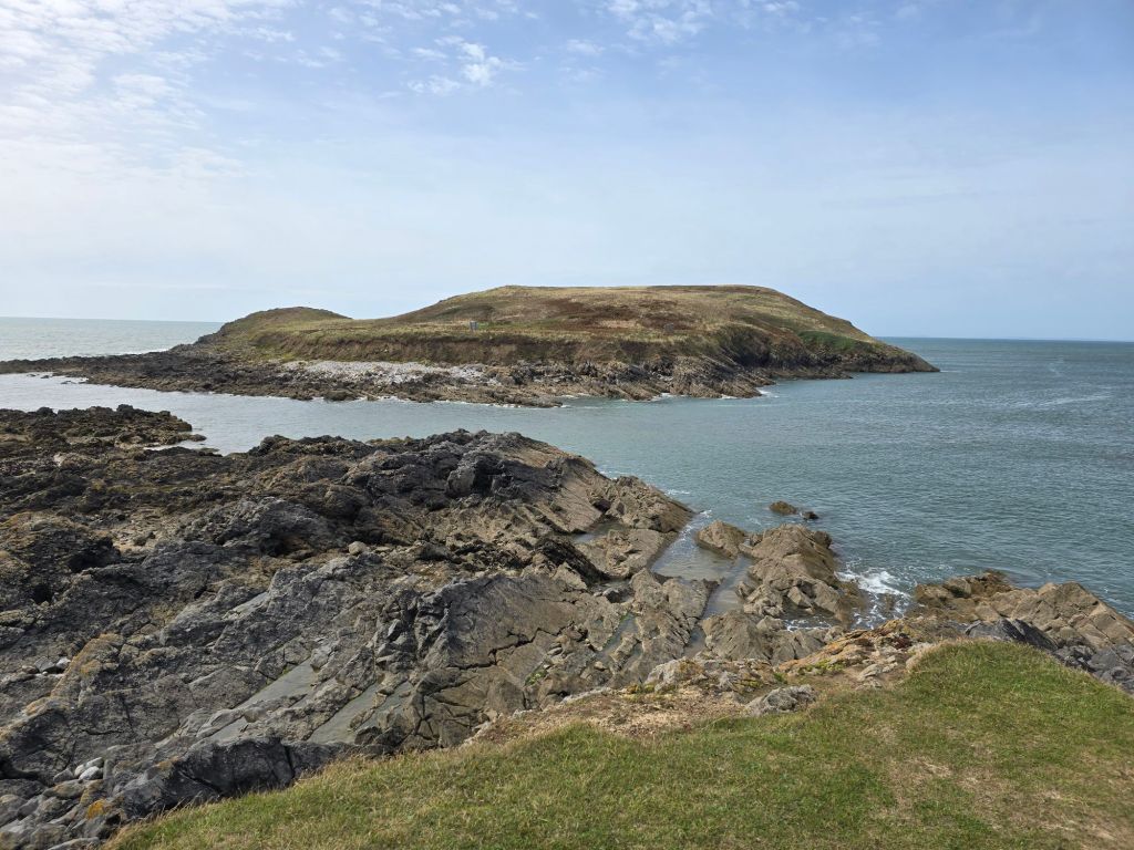
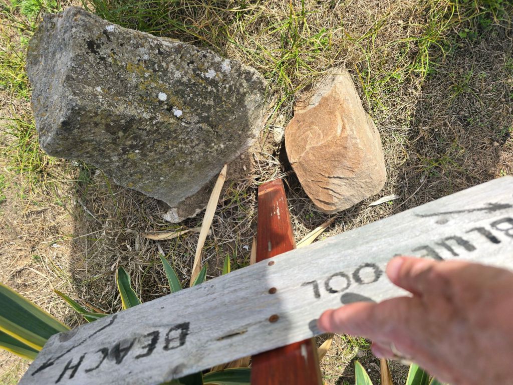
I got as far as Burry Holms island after about a mile – which looks very like Burr Island without the developments! The island was cut off by the tide so no possibility of exploring it, so I found the way off the beach onto the headland and a stiff climb followed and a section on the headland – which was rather sandy in places and therefore rather challenging underfoot. I eventually found a place to stop overlooking the bluepool corner to have a late lunch – with an arch but the bluepool was not visible as the tide was in. It was a still a lovely spot!

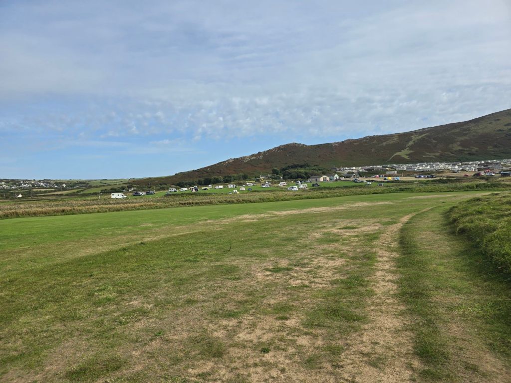
The path worked its way down into  Broughton Bay, and I followed the route into a caravan park, I established a touching point in the caravan park – when I turned to walk back on a more inland route. This involved more caravans for a bit and then a section labelled moor on the map but really not very moor like but a good route back to Hillend. I also spotted a car park I intended to use to continue on the trail on Monday at the Broughton end of the caravan park. I had to go all the way down to the beach at Hillend as there was a stream that was only passable across the stones at the top of the beach!. I sat on a log for a second coffee before returning again through the dunes to the car.

Monday, I tried to get back to the Broughton Caravan park but the road down to it was closed for 3 days, so I had to revise my plan. A helpful lady (whose entrance I was blocking trying to work out what to do) advised going to Llanmadoc (and the presence of a good coffee shop) which was a bit further down – I will have to fill in the gap at some point.

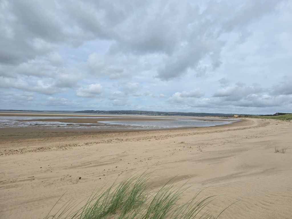
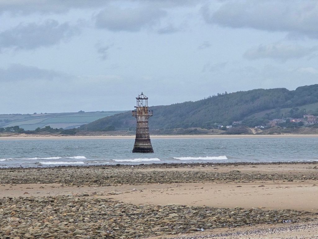
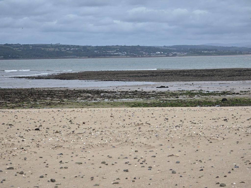
I stopped at Whiteford beach car park and walked down past the good coffee shop and then further down to connect with the coast path. I did two touching  points in quick succession depending on how I get back to this point – one by the inland route and one by the path to the beach (advertising the importance of the Strandline beetle). I walked down to the beach on a good but sandy path – and then did a couple of miles on the beach round the headland. The view of the iron lighthouse just off the beach got clearer and clearer and I stopped for a coffee sitting carefully in the dunes. I did not want a repeat of the maram grass in the eye issue I had at the lovely Walberswick last year! The coffee was disturbed by the RAF doing exercises.

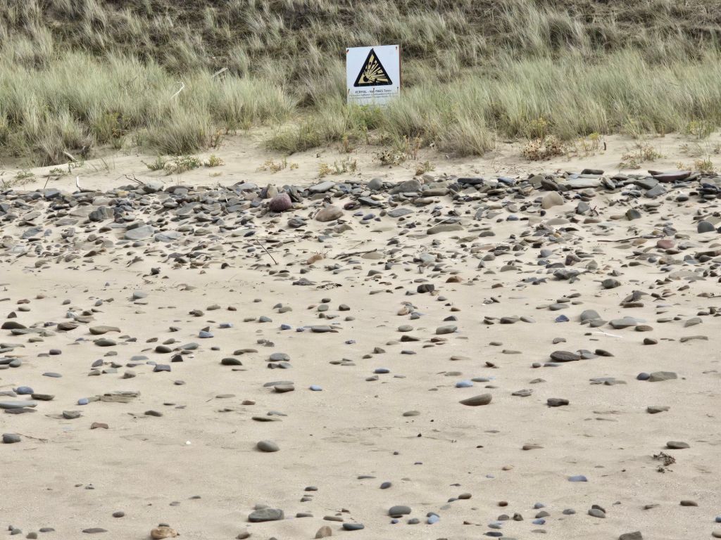
At the end there was a sign about explosion risk (at least I think it is) – I couldn’t read the English and did not want to go closer and my Welsh isn’t very good. I wandered around the end of the point, and then found the path  back through the woods overlooking the large area of salt marsh. I was quite careful at this point as there had been an adder warning and the path got rather indistinct and overgrown.

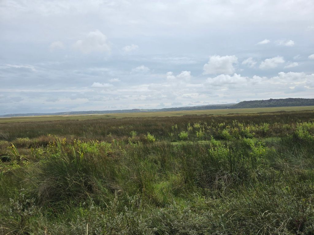
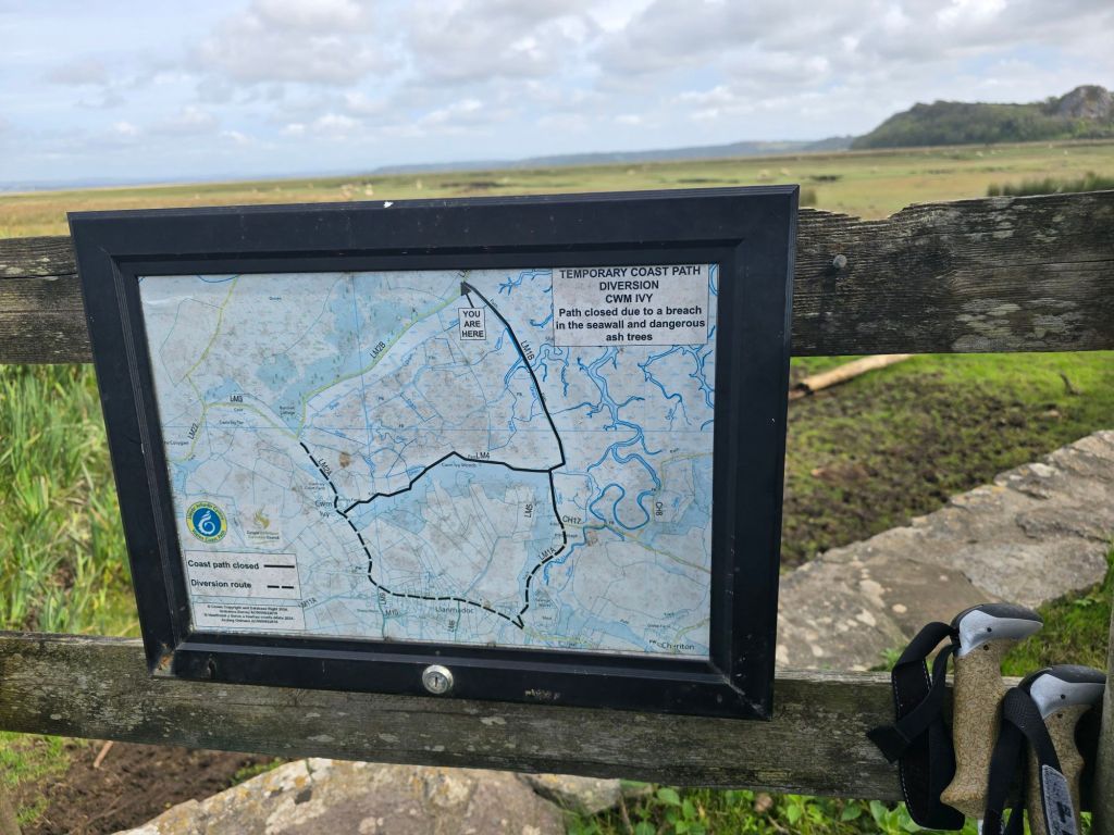
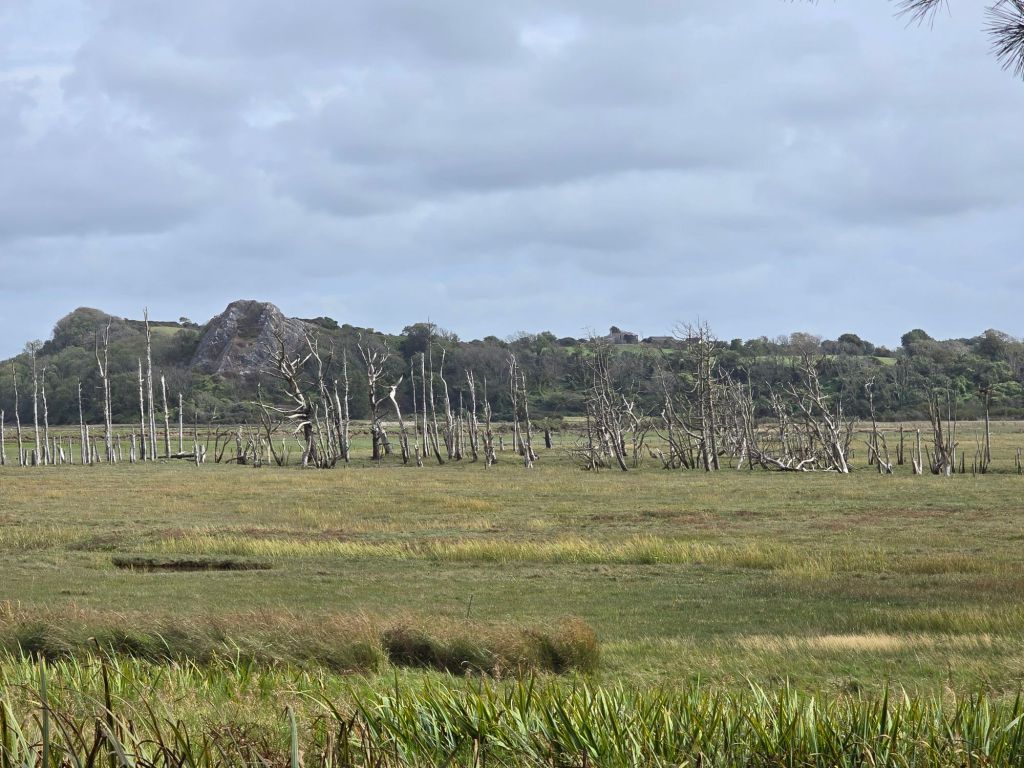
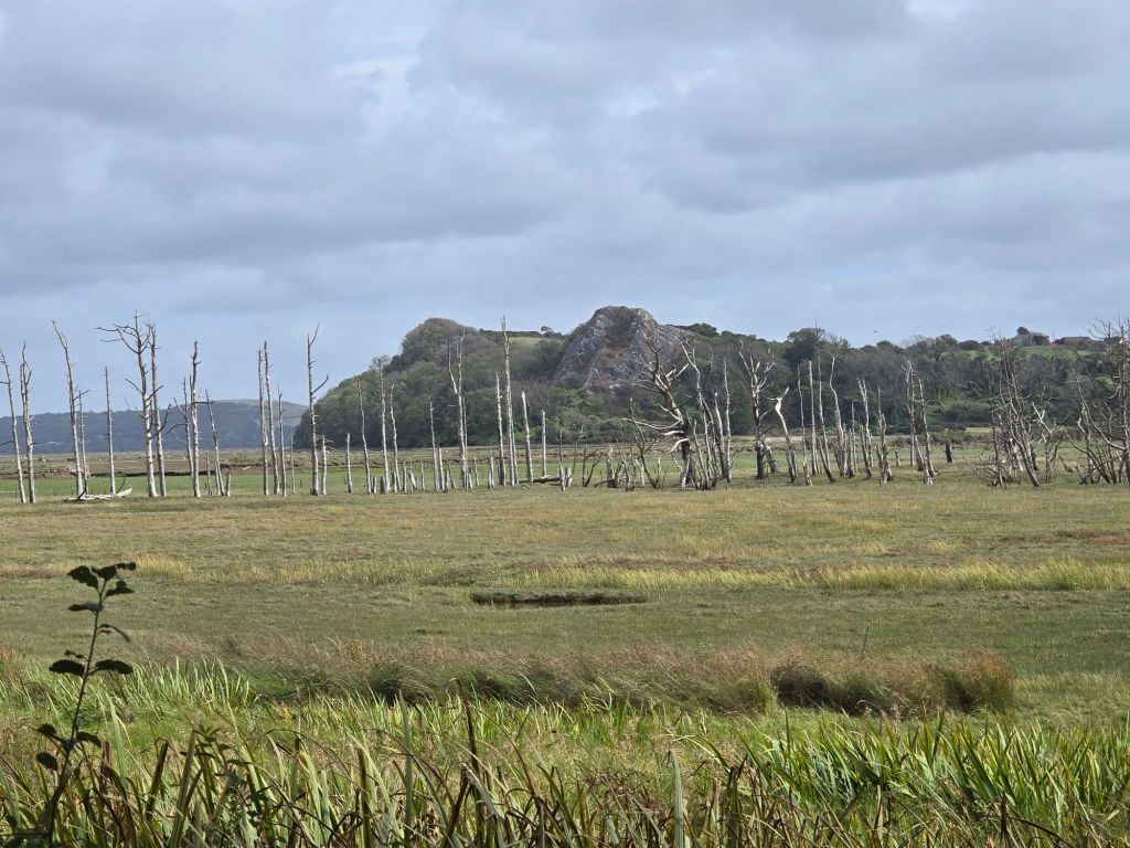
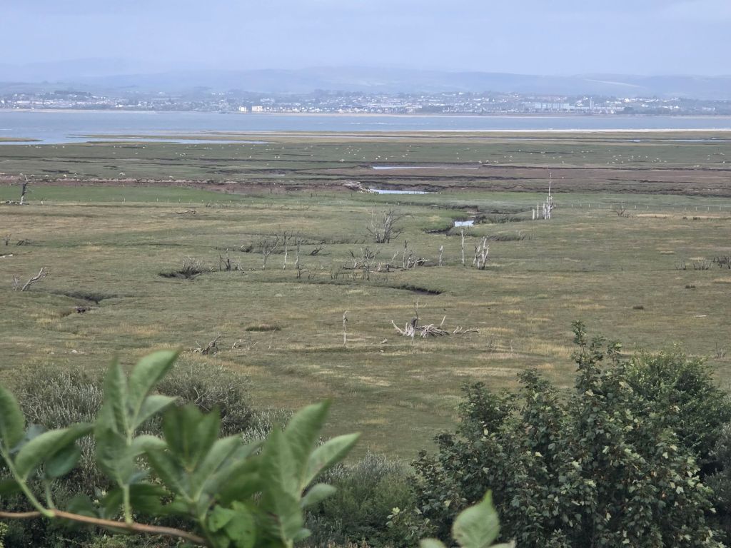
About 1/3 of the way back the path improved. I stopped on yet another log for a coffee, and had a long chat about the coast path with some passing walkers! This was right by a part of the coast path which was closed (and clearly marked this time!). I had been aware there was a problem (and it was a shame as that part of the path went through the saltmarsh but it has been damaged for more than 10 years). On the approach you could see the big gap in the path and the section that would have required swimming or wading! The saltmarsh was quite dramatic especially the section with the ‘skeleton’ trees and this area seems to be very blighted too  by ash die back. I carried on back to my first touching post and then realised the lane back up the car was on the coast path diversion so I carried on tracking ‘on trail’ steps. I was in good time to have an afternoon tea with a delicious chocolate brownie in the recommended café. It was a café with a  fabulous view.

I did the stiff climb back up to the car park and set up another touching point on the wall.

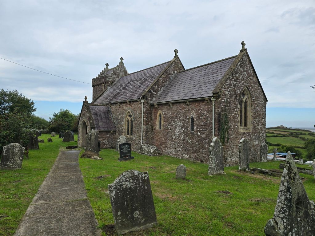
On Tuesday I returned to Llanmadoc, and the Whiteford beach car park and I reconnected with the touching point on the entrance wall. I did a short stretch up the hill, and popped inside Llanmadoc church – which had a seriously good view over the marsh!

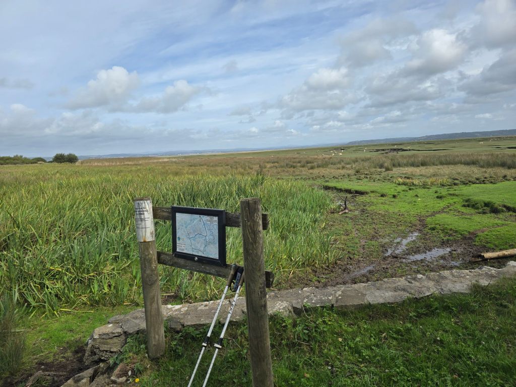
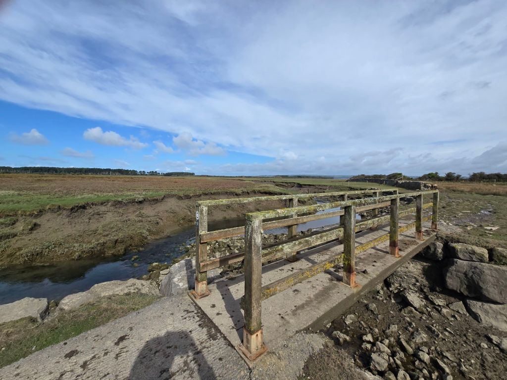
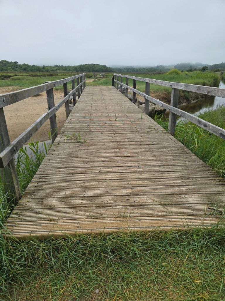
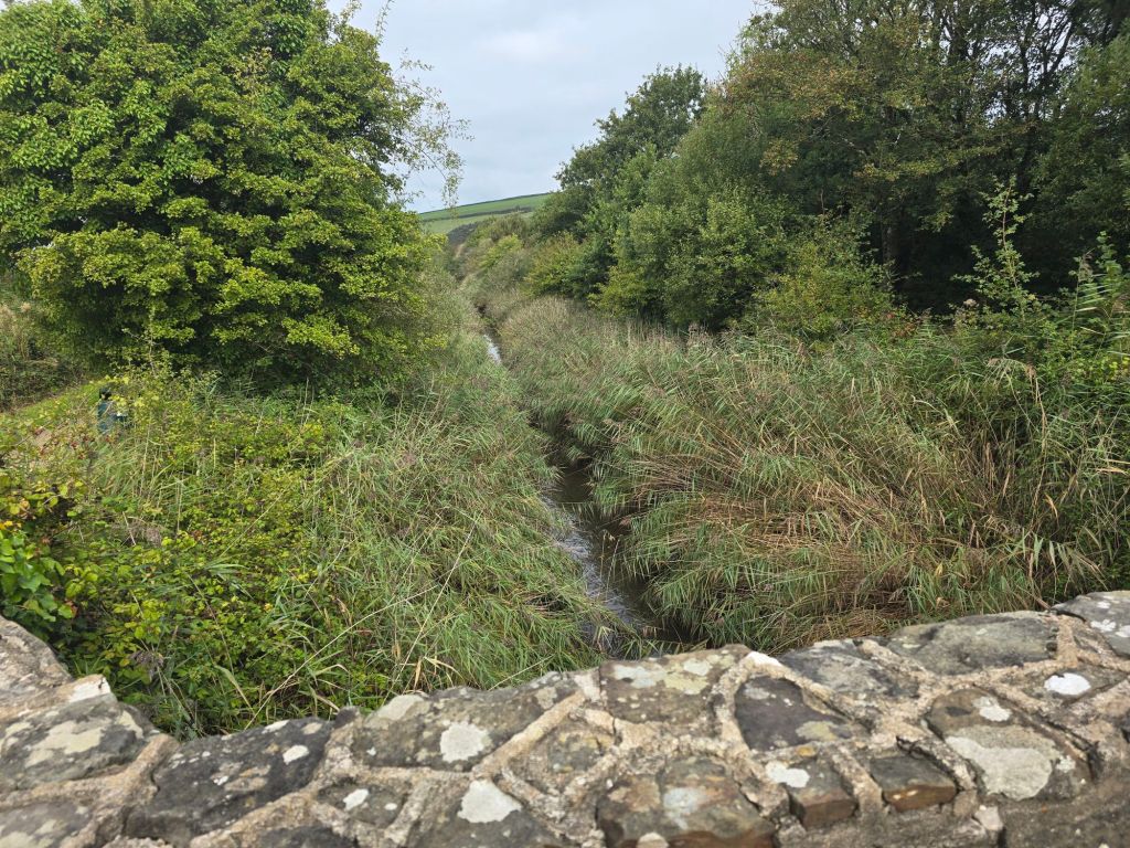
I followed the diversion through Llanmadoc on the road and into Cheriton. I stopped in Cheriton Church briefly, before heading uphill to a more rural path through fields to get to the edge of the saltmarsh. As it had rained heavily overnight it was a bit soggy and muddy in places, especially at the start. When I had got to the saltmarsh – I helped another couple who were a bit lost (and explained about the long path diversion). I stopped by a bridge for a breather and some coffee!

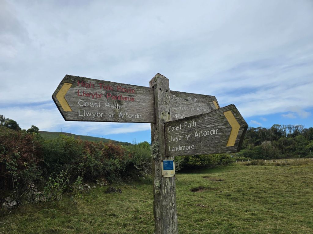
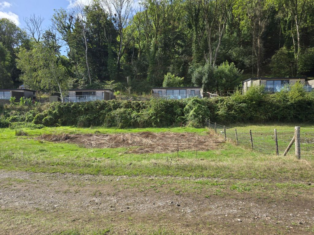
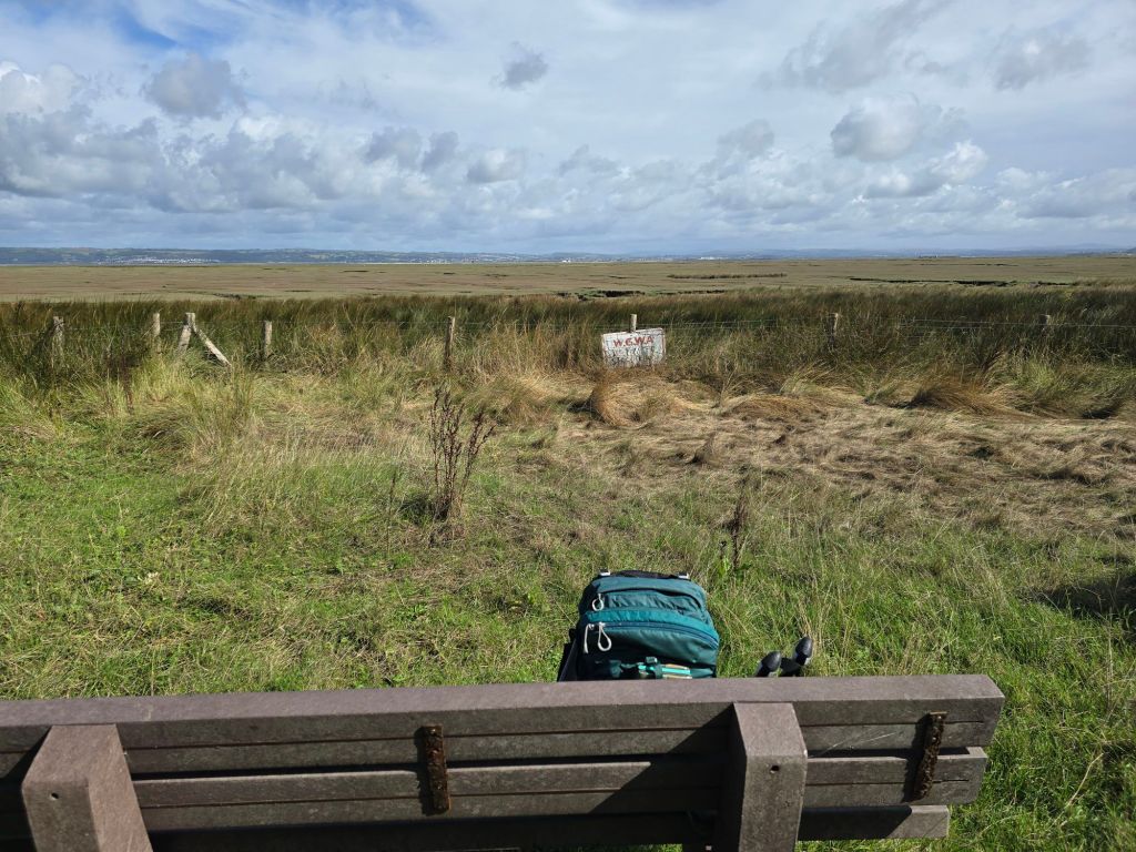
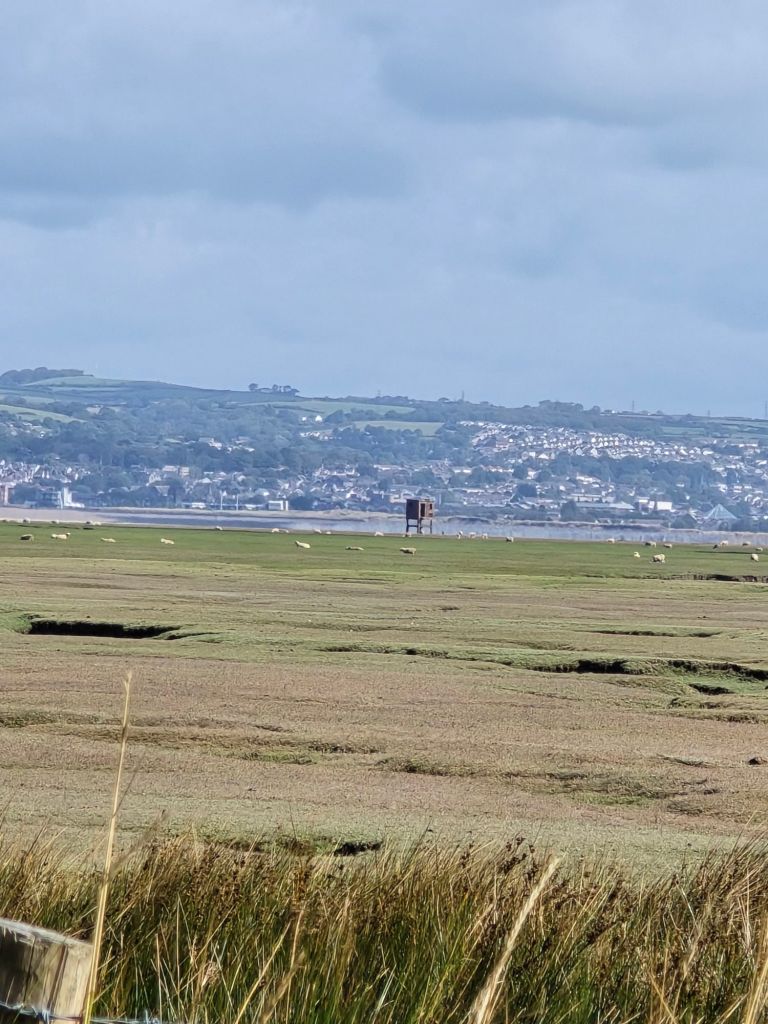
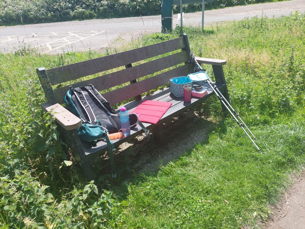
The next mile of so was very remote and wild with a long expanse of salt marsh. Eventually I ended up by some nice looking holiday lodges near Landimore and availed myself of an available bench

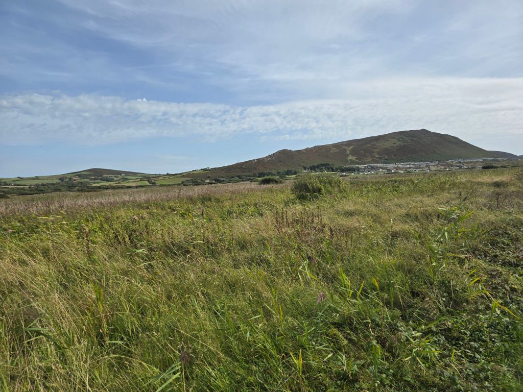
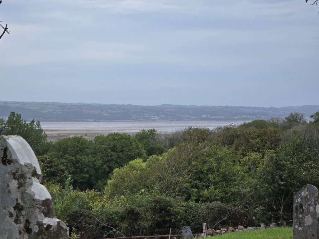
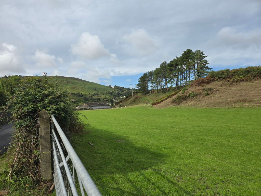
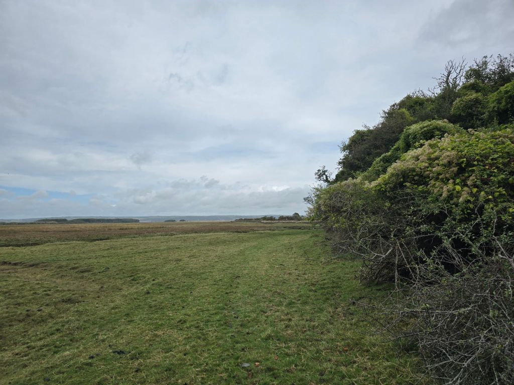
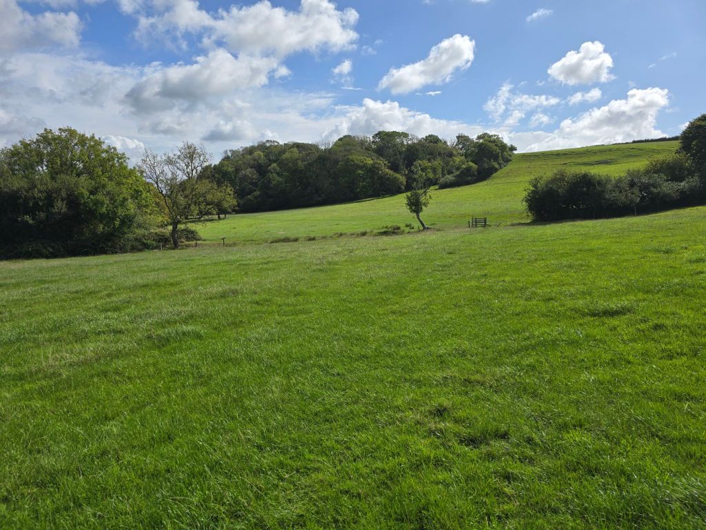
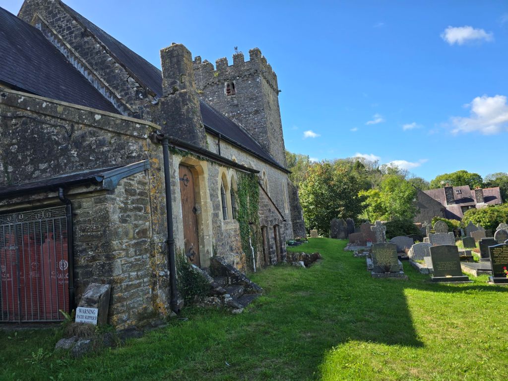
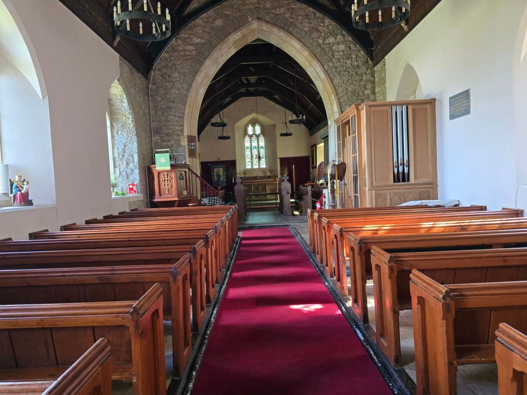
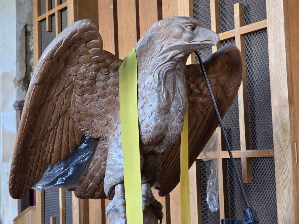
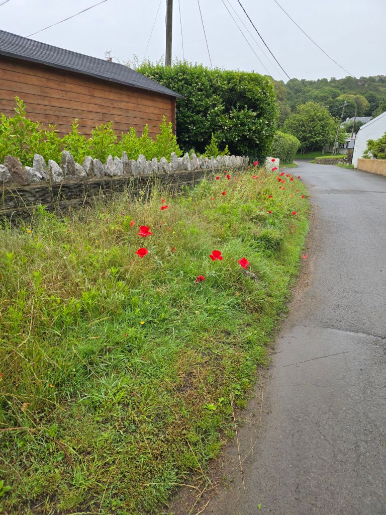
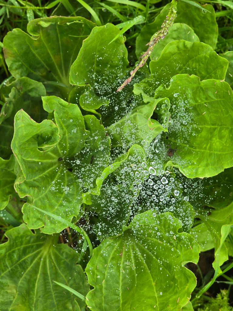
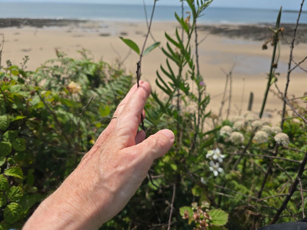
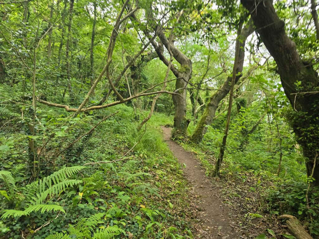
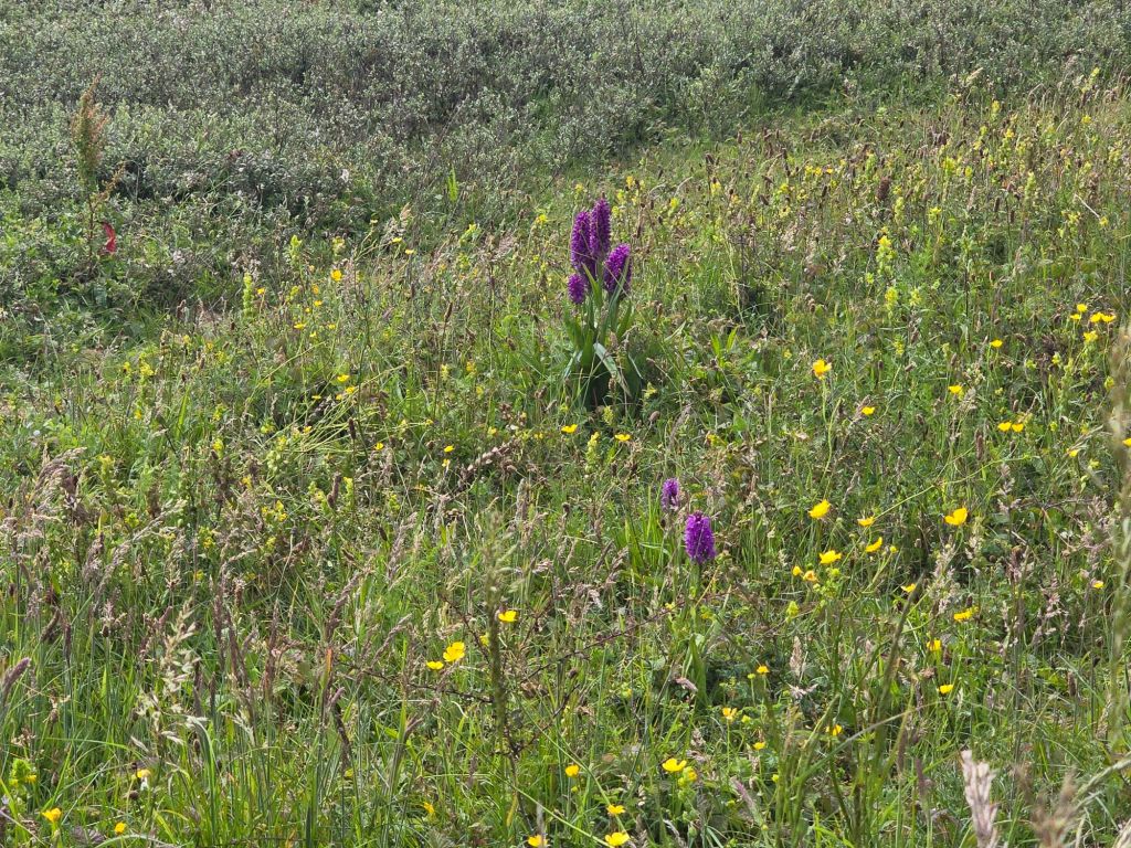
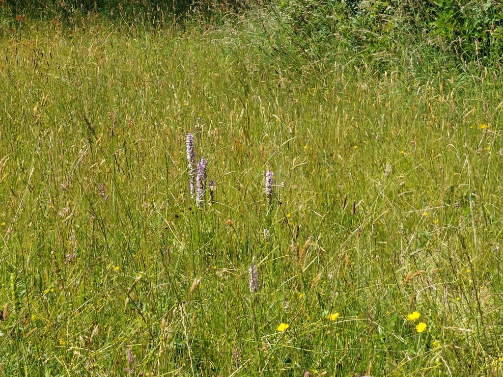
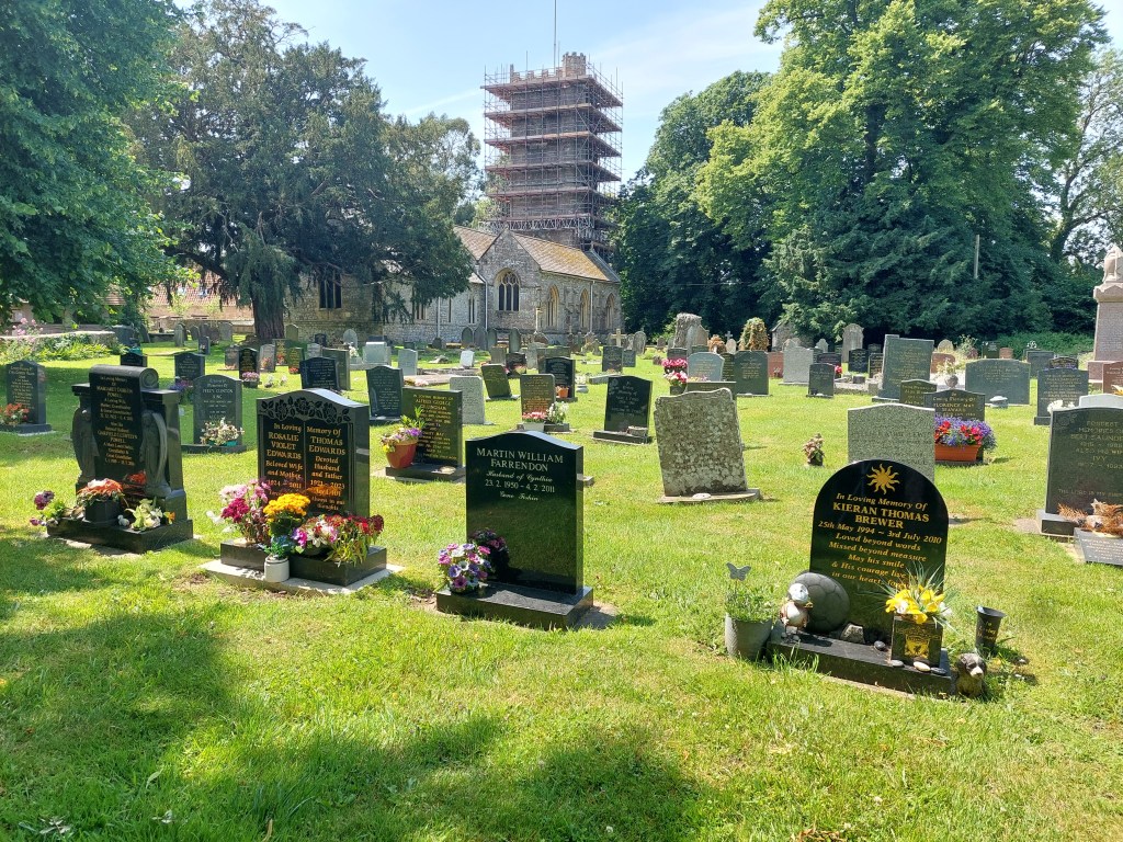
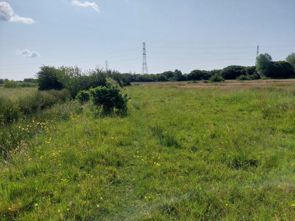
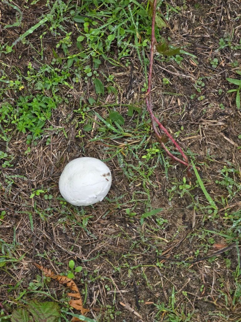
After this the path wound through fields and woodland just above the saltmarsh, and it was lush and green (I include a picture of the grass in case you have forgotten what that can be like!). I didn’t find anywhere suitable to stop, so eventually ate most of my lunch after a visit to Llanrhidian church, on bumper’s bench in the church yard.  Part way through lunch, I moved to one about 300 yards away as there was a wasp problem! Inside the church there was a particularly scary looking eagle lectern! The second bench had a much better view over the estuary and saltmarsh.

I eventually walked up to where I hoped to get a bus. After a long wait, I realised the 115 just wasn’t coming – I need to work out why that happened. Both the bus app and google had it on the timetable but I am not sure that is right!.  So I resorted to an Uber to get back to where the car was. From this point on it is all not so remote so the bus links should be more reliable and I did see several going in that direction rather than the way I wanted.

Still going!

Tuesday – Much needed rest day!

Wednesday 17th June

Steps on the trail 14643 –  Miles on the trail 6.3

Southgate to Oxwich Bay

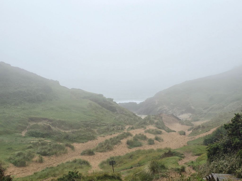
Drove to Southgate in the drizzle and low cloud and was a bit dubious about setting off! However I reconnected with the touching point/coast path sign and did set off. Thankfully the drizzle did stop within about 20 minutes, and I was accompanied by a selection of dog walkers in rather misty conditions obscuring the view. I was well wrapped up in waterproofs!

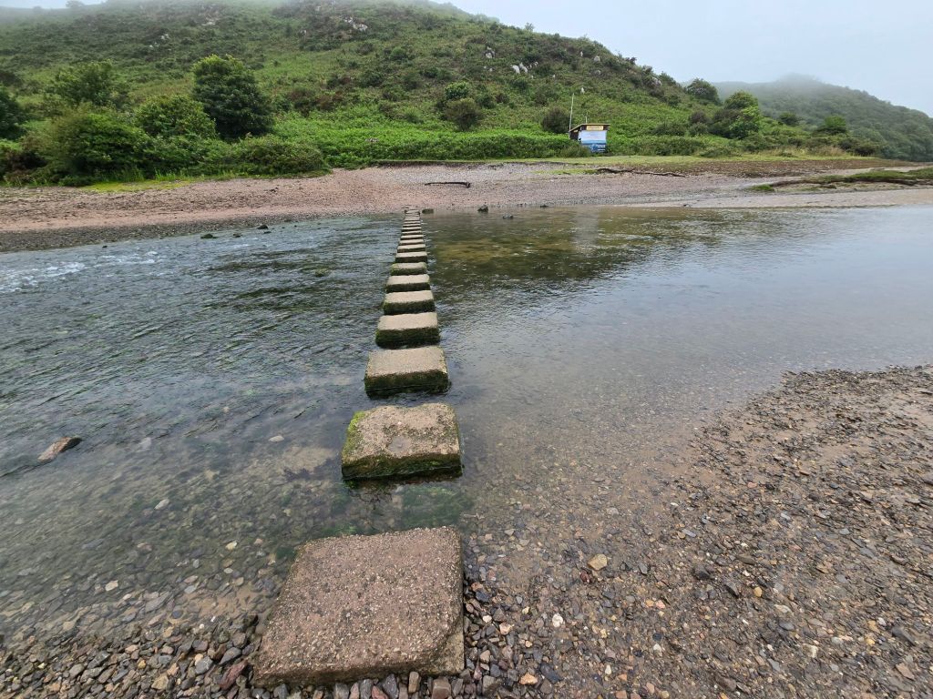
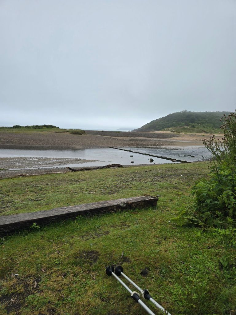
After about a mile the path became more sandy. I stopped for a drink just before this. The section in Pennard burrows began (sand dunes by another name!). Descent in sand was very welcome on a day when other forms of descent were more difficult and slippery. The path did several ups and downs, and it was tricky on the soft sand to get traction going up! The path took a cut inland and across a virtually empty stream. I managed to successfully navigate to the stepping stones across the Pennard Pill, and managed to cross these without mishap. On occasion they were spaced for someone with a longer stride than me. I stopped for a breather and a snack on the steps by the coastguard shack, and started to see more people and dogs at this point.

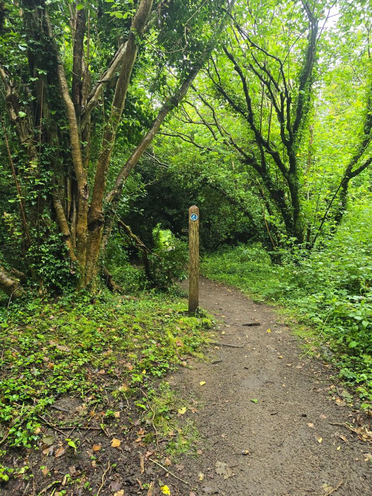
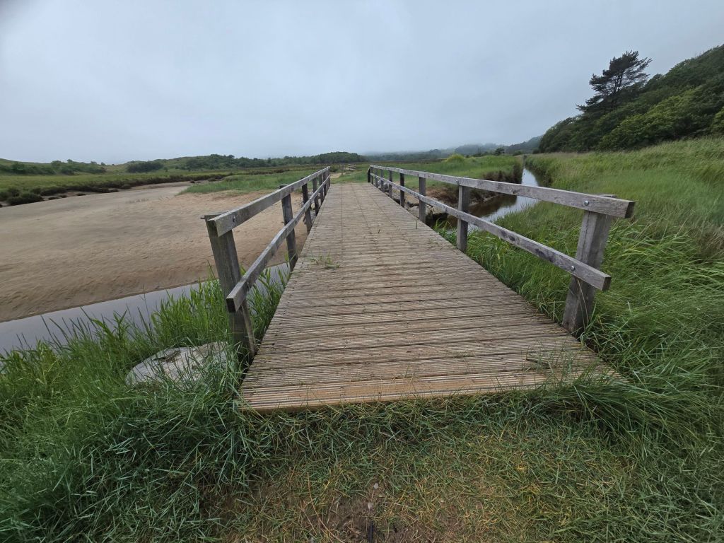
After a short section dropping in and out of the bay and woodland – densely wooded steep sandy ascent was required – which took a while, and up on to more substantial territory of Penmaen Burrows. There were intermittent fine views over the beach and some sections in very dense woodland. It eventually wound down to sea level and the more sandy terrain of Nicholaston Burrows. The guide book had been a bit iffy about the existence of the footbridge over the pill, but in fact 2 substantial footbridges enabled me to cross readily. I rather wished I had decamped to the beach sooner (as I think I could have crossed the streams on the beach without getting too wet!).

I walked back to the beach, and settled down on a log to eat my lunch. Once I had satisfied my hunger I did the final mile and a half on the wide sandy expanse of Oxwich beach – going into the wind but it wasn’t too bad (and not as strong as it had been earlier in the trip. The café we had used on Sunday was shut but I did use the toilets. I walked out through the car park via my touching point, and frequented the shops near the road, before finding the bus stop – I ate a bit more sitting on a bench in the bus shelter . I got a small adventure bus (117  I think) to connect with the No 14 by stopping at 2 different bus stops by St Mary’s church in Pennard. I had to have a discussion with the first driver about which church, the app said one set of names and display in the bus said another!

I had a very nice hot chocolate and coffee and walnut cake in the three cliffs café before setting off home. The whole experience was very atmospheric with the cloud and mistiness. I know I couldn’t fully see the views etc, but it was still glorious

Thursday 18th June

Circular walk from Port Eynon

Steps on the trail 9354  (7703 off) –  Miles on the trail 4 (3.31 off!)

I drove to Port Eynon, and set off to reach the point Athene and I had joined the coast path on Sunday – about 2 miles from Port Eynon to join the dots. I got close to where we had come out – and the ploughed field and didn’t do the very overgrown path. I reached for the touching point about 50 yards away! I had discovered that the ordnance survey map app does show symbols for when things are overgrown! I met several people on the path, including 2 Americans from South Carolina. I stopped for a breather on a log on the beach at Horton.

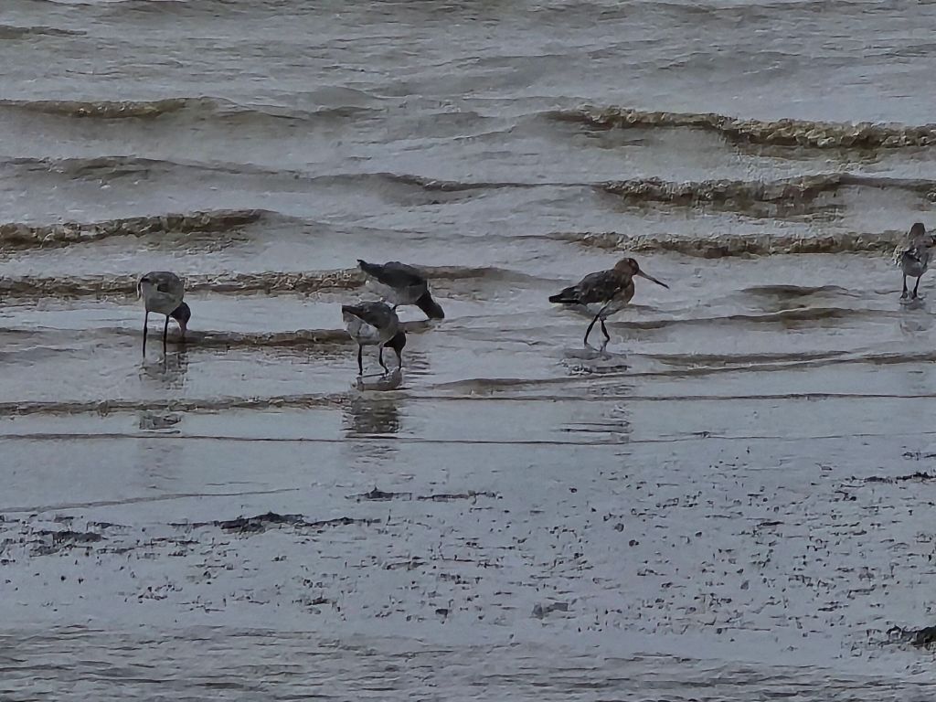
I walked across the bay initially on a stony beach which became more sandy. There was a flock of small wading birds which I was about to take a picture of when one of the many dogs scared them off! I climbed off the far end of the beach into an enclosed path, which climbed up towards the headland. The path was very stony and slippery and I was glad I was ascending it rather than coming down. It was a stiff climb up to the Port Eynon point. I stopped at the memorial for a second break, and ended up taking  photos of the inevitable Duke of Edinburgh expedition group of girls who arrived as I was leaving. I also explained the whereabouts of the Culverhole to another walker! There was a short section on the headland -before a very steep, and rocky descent on the far side, which I did slowly and carefully (vowing not to go back the same way!)

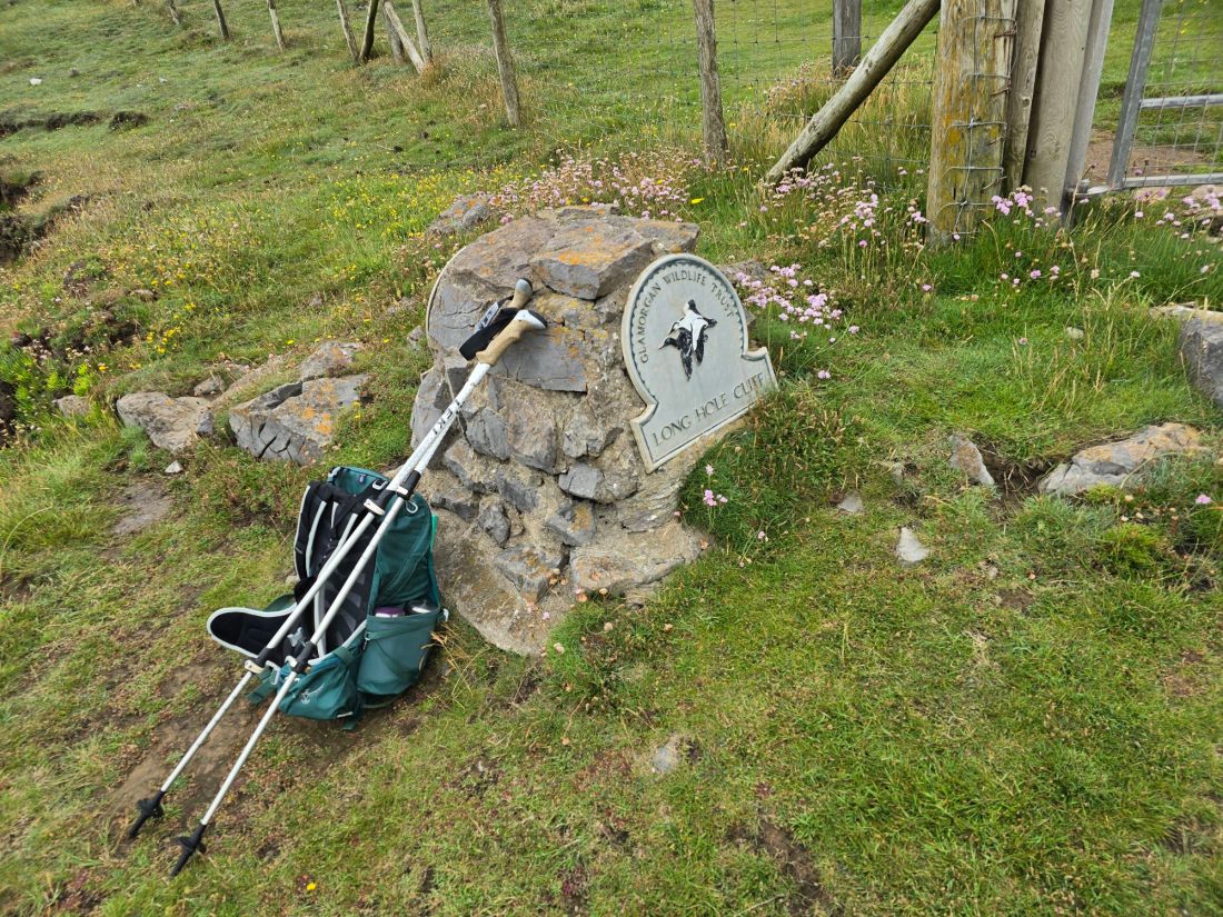
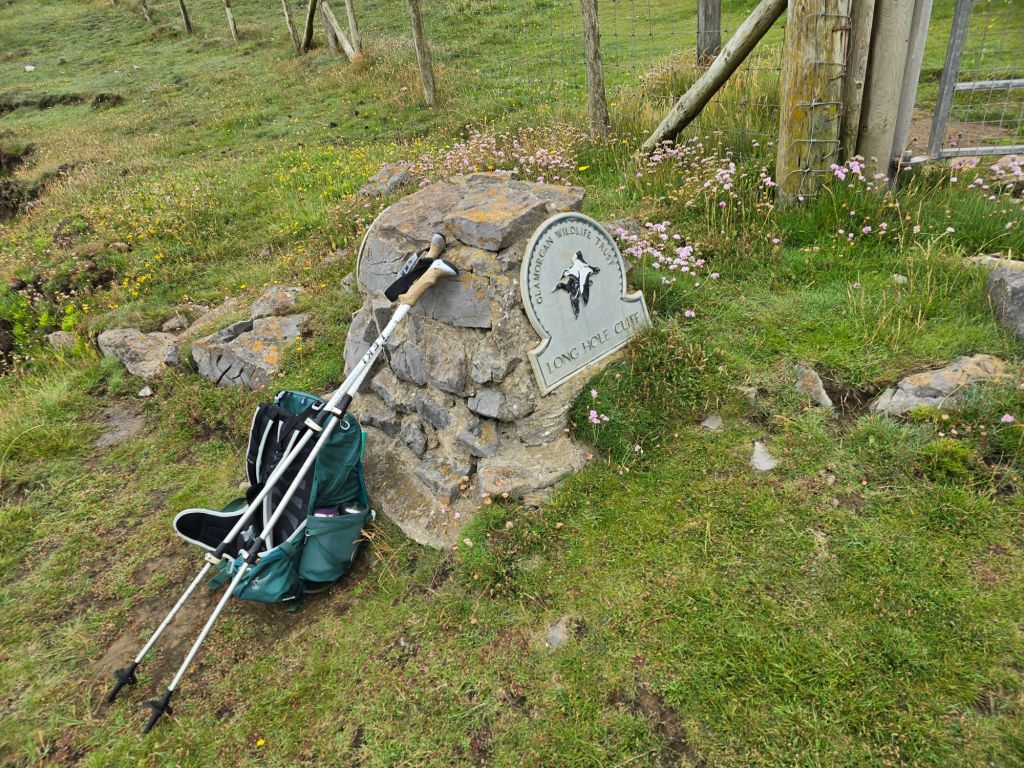
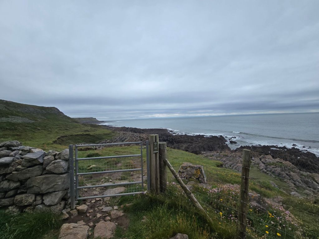
The next section was very dramatic lower around Overton Mere, and getting edgy and higher around Overton cliff. I met a German couple I had seen earlier in the week, and we had a chat about the joys of the coast path. I got to where I was going to cut inland with the path, and stopped for lunch perching on a sign for Long Hole Cliff. I had several conversations at this point, with a man laying the trail for a horrendous sounding run/swim event on Saturday, and another walker staying locally to there.

The path cut up through the cliffs, and I set up a touching point, and then headed back to Port Eynon. First on a track and then through the village of Overton. I cut down on a path just before the main road, through fields, down to the car park where the car was. I went to find a café, and saw an adventure bus with yesterday’s driver who gave me a wave! 

I did not achieve so many miles on the trail, but will hopefully connect to Rhossli tomorrow.

Company and near calamity!

Sunday 14th June

Steps on the trail  12062 –  Miles on the trail 5.22

Circuit from Oxwich Bay

Leisurely start as I was meeting Athene for today’s walk at 11am at the Oxwich Bay car park. I got there first,  and sat in my beach folding chair trying to look conspicuous! It worked and Athene soon arrived. I had decided it was best to do a circular walk that day, as buses on Sunday are not so frequent or not running, and it was difficult to predict how far along the coast we might get.

We had a coffee at the beach café and started to catch up! It was a lovely temperature and sunny as we set off and did the inland leg first, climbing steeply up a road at the back of the beach through Oxwich Green and on to Slade (Happy 80th birthday to Noddy Holder!). We turned off down a track which turned into a very overgrown final section – which was almost impassable before joining the coast path and i made a touching point. The next section was fairly easy going, and we stopped for a coffee stop as soon as we could and admired the beach and general scenery. There was a high cliff above us, and this area was especially renown for Gower specific birds.

We made good progress toward Oxwich point, with the path getting a little more challenging as we went. We scrambled down a slope to a good vantage point for lunch (that a family were just vacating and  when we left another 3 people arrived to take it over). Climbing back up to the path was easier than coming down it. We soon wound round the headland and the scenery changed to dense woodland.

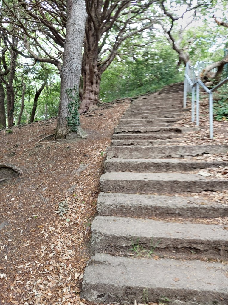
The path started to undulate more, and when we were quite close to the beach, there was a stepped ascent – which went on and on! Taking us eventually back right up on to the headland, before descending with similar steps down to St Illtyd’s church. We diverted back inside and it was clearly well used!

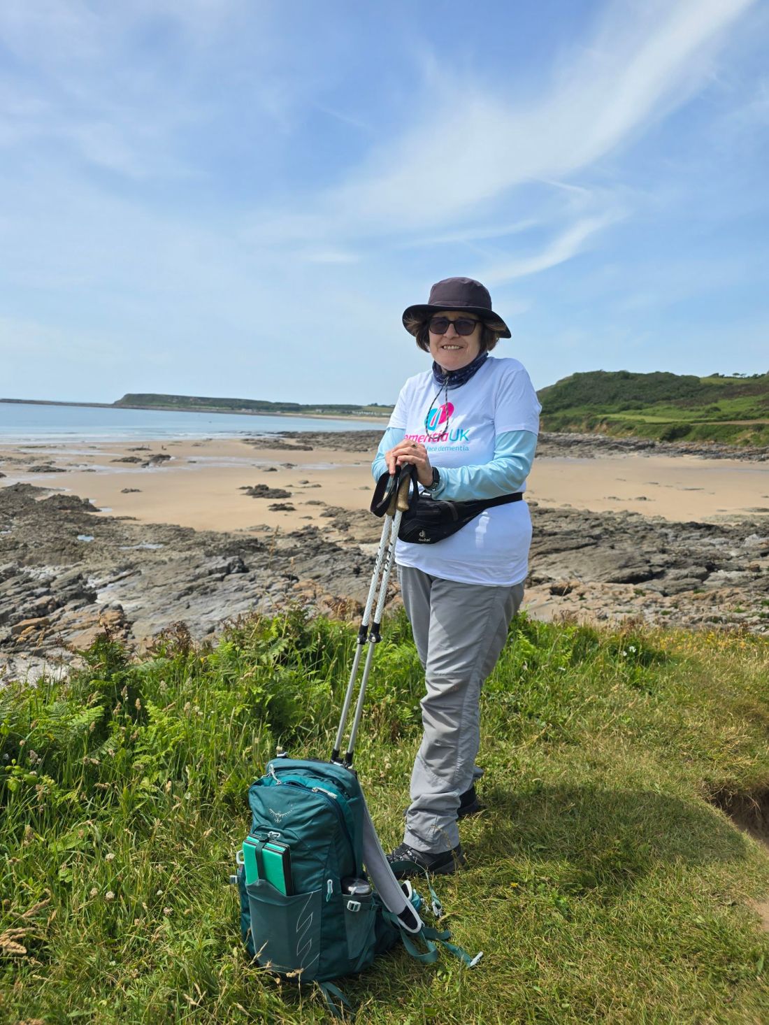
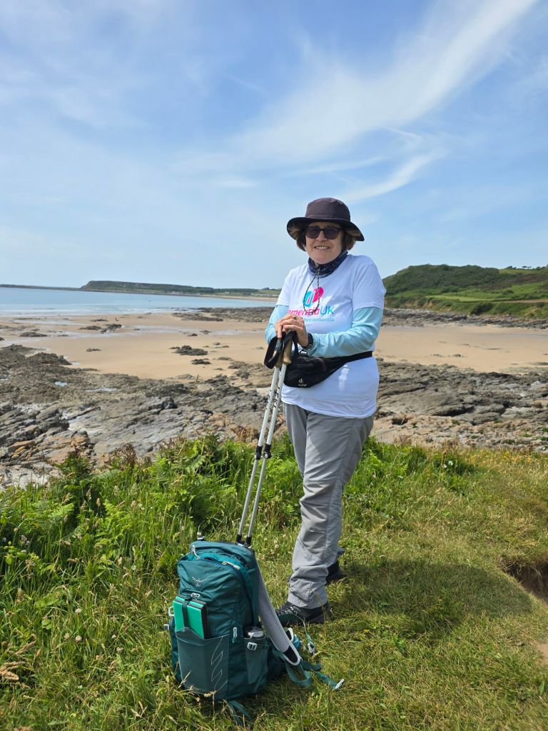
A short stroll back to the beach and across the car park led back to the cars. As I had my Dementia UK t-shirt on, I was given a donation towards the walk by a lady who equally has a mother with Alzheimer’s, which was generous of her. I set up a touching point in the car park.

Monday 15th June

Steps on the trail 13247 –  Miles on the trail 5.73

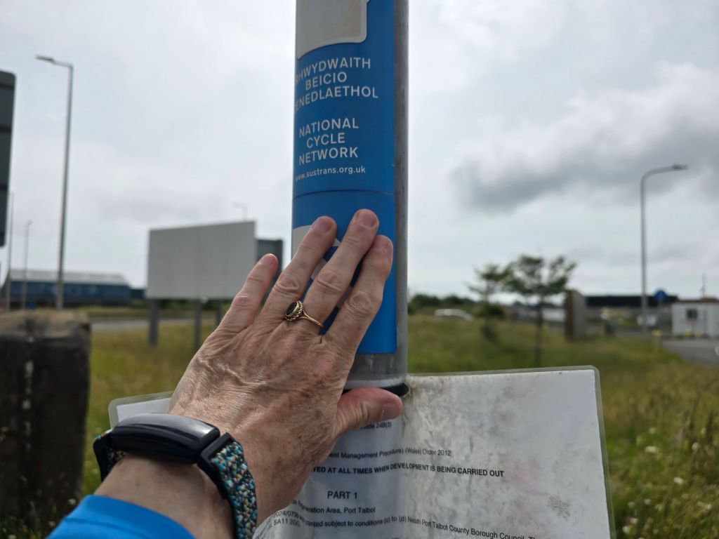
Kenfig to Port Talbot, train/bus take the strain. I went by train to Pyle, and then after a bit of confusion found the bus stop to get the 63B back to Kenfig Nature reserve. I was there about 10 minutes before 11am, and used the facilities (never believe AI station information about there being toilets when there were not at Pyle). I had a coffee and Gavin and Alison arrived. More coffee was consumed, and catching up began. I was abit apprehensive about the sand dunes down to the coast path, as this is where I had upset my ankle back in April. I was careful to use the poles well, and we broke through to the coast path after about 20 minutes, by carefully following the way markers.

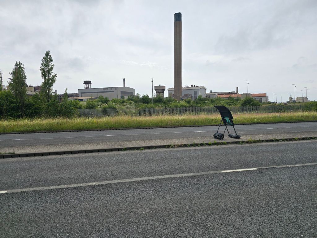
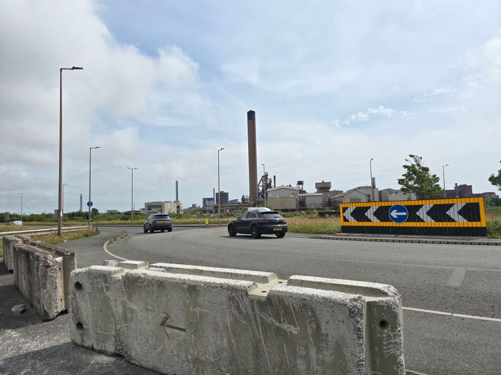
We carried on along the coast path – enjoying the wide views of the beach and had a coffee stop on a log. We did the requisite couple of miles before the path started to turn away from the coast to skirt around the steel works – which were entirely visible on this day. It was a nice temperature bit did have humid moments. We saw a barrier which was not across the path, and a sign saying the path was closed for 5 months in 2024! We didn’t think much of it as it was very out of date and carried on. Now skirting through dunes, around the edge of a large naturalised spoil mound and a grassy track which was rather overgrown. We were looking for a place to have lunch and eventually (by this point we had done about 5 miles!) we came out near some active works and there was a large pipeline by the path, above a track so we sat on that to eat our lunch (it turned out to be a temporary replacement sewar pipe!).

We were just packing up after lunch, we had been spotted earlier by someone in a van on the track, and another man (called Gethin) came along in a 4×4 and explained the path was closed, and in fact, we should not have been where we were! We explained we hadn’t seen any active signage etc (though later found it is indicated on the internet that the path is shut even if the alternative route is incomprehensible!). After initially suggesting we go back the way we had come, the lovely Gethin offered to take us back to where we would have come out near Margam (and got us past large locked gates about a mile further on which would have barred our way on the route!). This meant scrambling down the steep bank to the track to get in the 4×4 -where Gavin assisted me for which I was most grateful. I am so glad we were spotted and ‘rescued’ and Gethin, true to his offer, took us back out to the roundabout near the crematorium on the edge of Margam in his 4×4.

We did the final 3 mile section through housing and by roads from there on foot, I linked  with my previous touching point, and then connected with Alison. We returned to the café I had used at Aberavon on Saturday for some sustenance, before Gavin and Alison dropped me back to Port Talbot and I got the train back. The last 10 minutes back up to base camp were abit of a struggle as I had stiffened up (and overall I had done just over 11 miles that day).


Rest and a final stunning walk

Cwm Colhuw (Llantwit major beach!) to Monknash beach.

On the trail steps, 13,202* on the trail miles 6*. Off the trail steps 21,030, off the trail miles 8.6.

*Due to the lack of internet this is a bit of a guess!

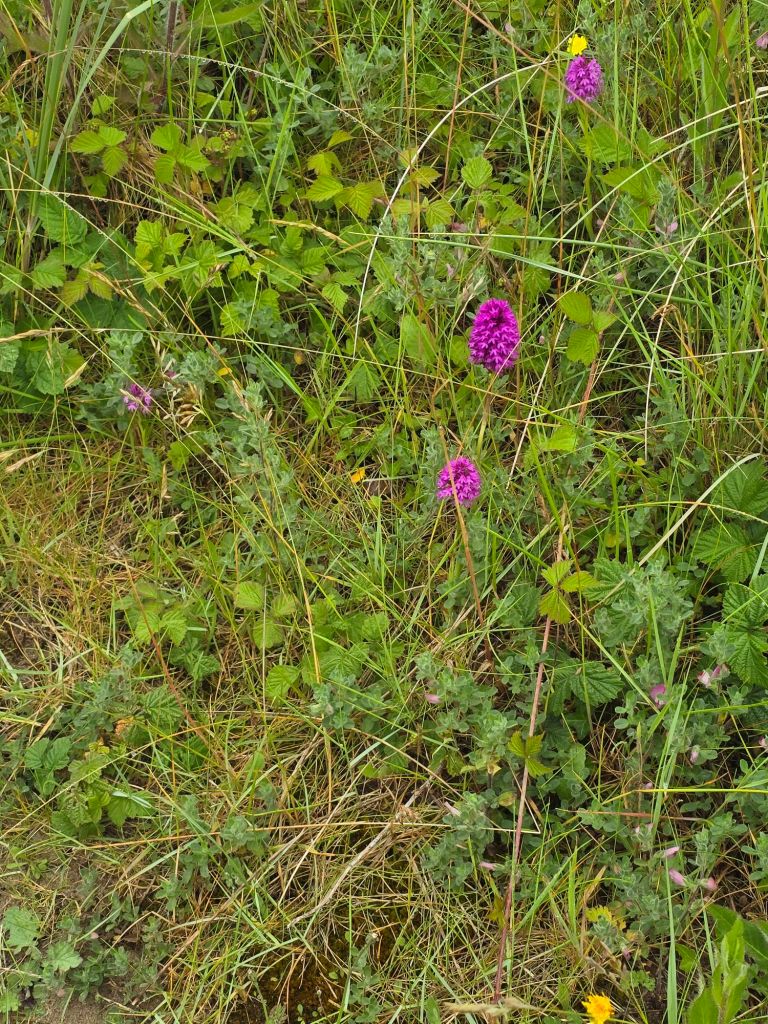
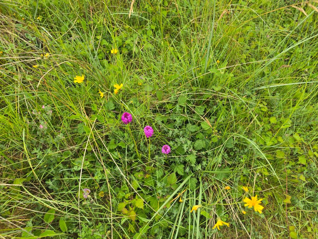
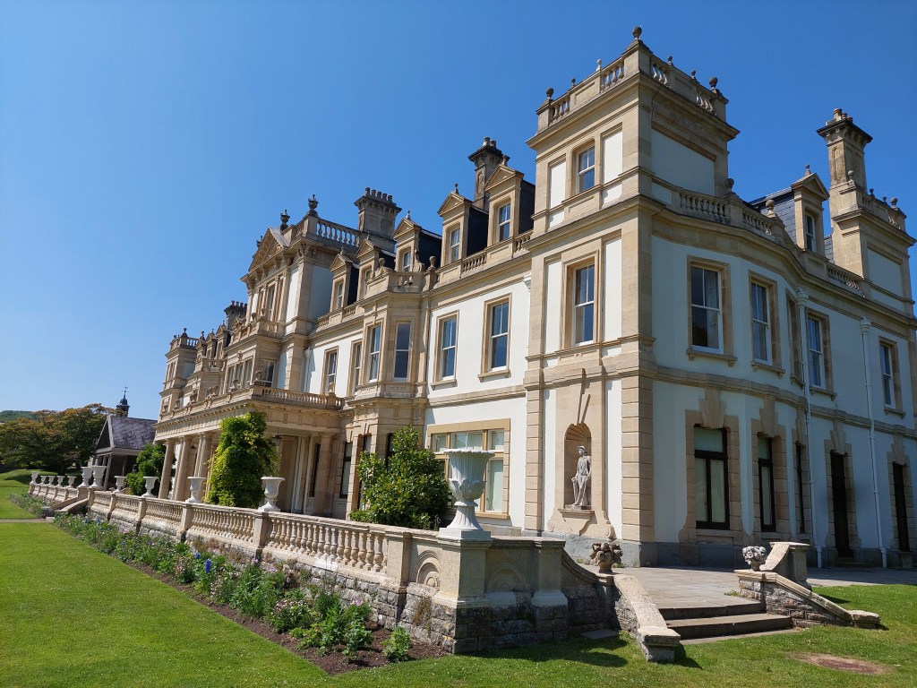
Since my last blog, I had a rest day taking in Bridgend outlet centre, and a new frock for an upcoming event.  Then a hot afternoon wander around the garden at Dyffryn (National trust and very close to base camp), which was a work in progress and a mass of Orchids!!  Very hot – but good to give my legs a rest!

My final walking day started early, as hot weather was forecast. I set off and was at my parking space at Llantwit Major beach (where I finished the first walk with Gavin several days ago!) I set up the forgotten touching point, used the facilities and set off up the first ascent on to low cliffs. It was a beautiful day and a very well kept path as I snaked up and down on the low cliffs – A short stretch on a stony beach after the 2nd descent and then some very welcome shade in the woods around the Atlantic College at St Donat’s. I had a brief hot coffee on the beach there!

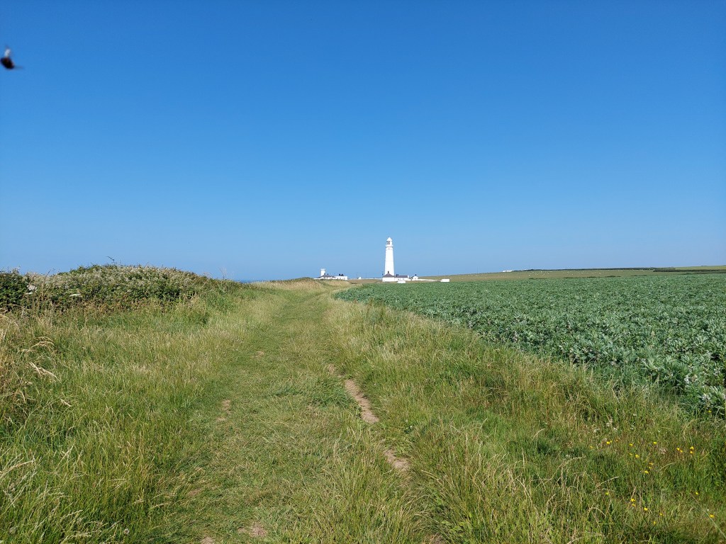
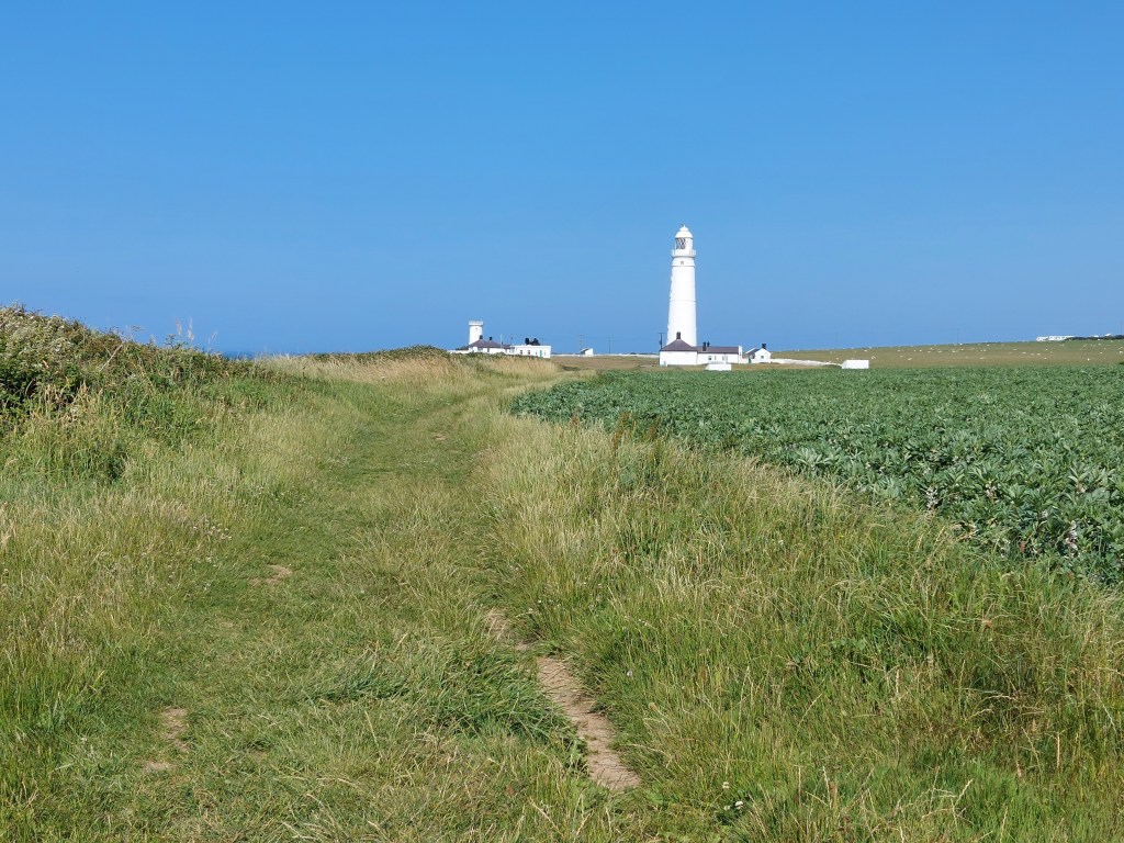
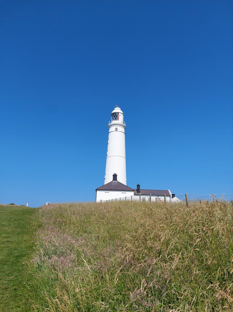
And then onward – up out of the woods into grassy fields with the Nash lighthouse getting closer and closer. It was a lovely and relatively easy stroll at this point if a little hot! I walked through the somewhat deserted cottages and past the lighthouse, and stopped for a second  breather just beyond the car park.

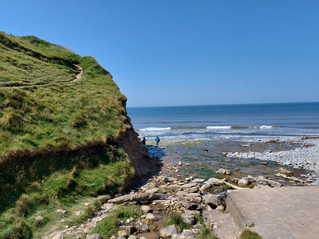
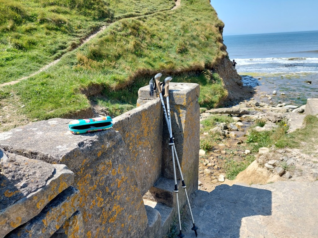
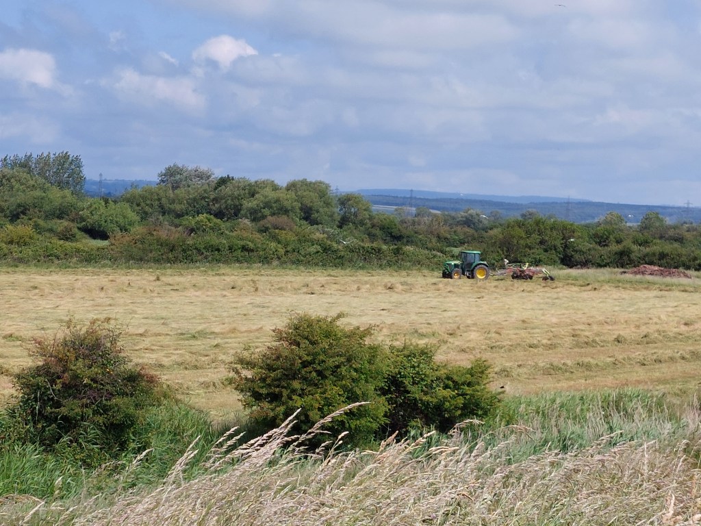
I did a big up and down to get to a more deserted stretch next to a field that the farmer was cutting (for silage I guess!). I kept seeing a couple who seemed to be using a bird identifying app as they went. I stopped for a third stop by a stone stile and kissing gate. I knocked over my second coffee which was annoying, but I did get half of it. At this point the view was stretching out ahead for walks to come (as this is my final day on this trip!). It was getting hotter than I could deal with, so at the next opportunity after a tricky descent down to Monknash’s beach, I set up a touching point on another stone stile and then after due consideration I took an inland path.

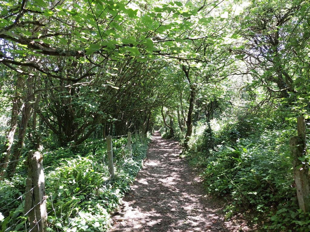
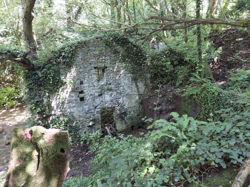
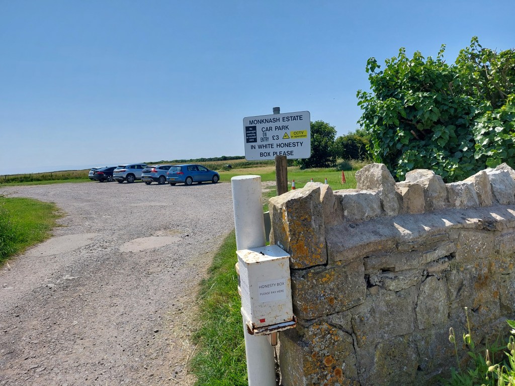
I had had no internet signal for most of the day, so wasn’t able to work out if the buses back to Llantwit would work well or not! The initial section was rather in the stream and then the path turned out to be a rocky track gently up onto the headland in woods, with a lovely stream and the remains of some kind of mill/industrial building. I was on the Valeways millennium heritage trail and found a car park at Mill Farm I may be able to use in the future and just beyond a pub the bus stop. Miraculously a 303 was due in 10 minutes. It actually arrived after 16 causing difficulties on quite a narrow road.

In Llantwit it dropped me off at the train/bus station and in the heat I walked to the local spa and got an ice cream and a cold drink!. I then had a hot half an hour winding back to the beach (including some very unwelcome ascent!). The final section included a sharp descent, a footbridge over the stream, and then about half a mile of all weather accessible path down to the beach car park.

I found an unconventional sheltered shady spot for lunch and had a drink in the café (which was open this time) before heading back! The car was hot, hot, hot – settling after about 10 minutes on 29 degrees!

A fantastic walk – classic coastal path stuff and a great way to end this stretch of Wales coast path walking. Chepstow to Monknash Beach….

That’s 75.6 miles on the trail, and 29.6 miles off – total walked 105.2 miles

And the trail total is 448.7+75.6= 524.3 miles!!!

Under the bridge!

Goldcliff Sea Wall to Calicot

On the trail steps, 15,098 on the trail miles 6.5. Off the trail steps 3076, off the trail miles 1.3.

I drove back to the Goldcliff sea wall parking place, and set off on the embankment after reconnecting with my touching place from Saturday.

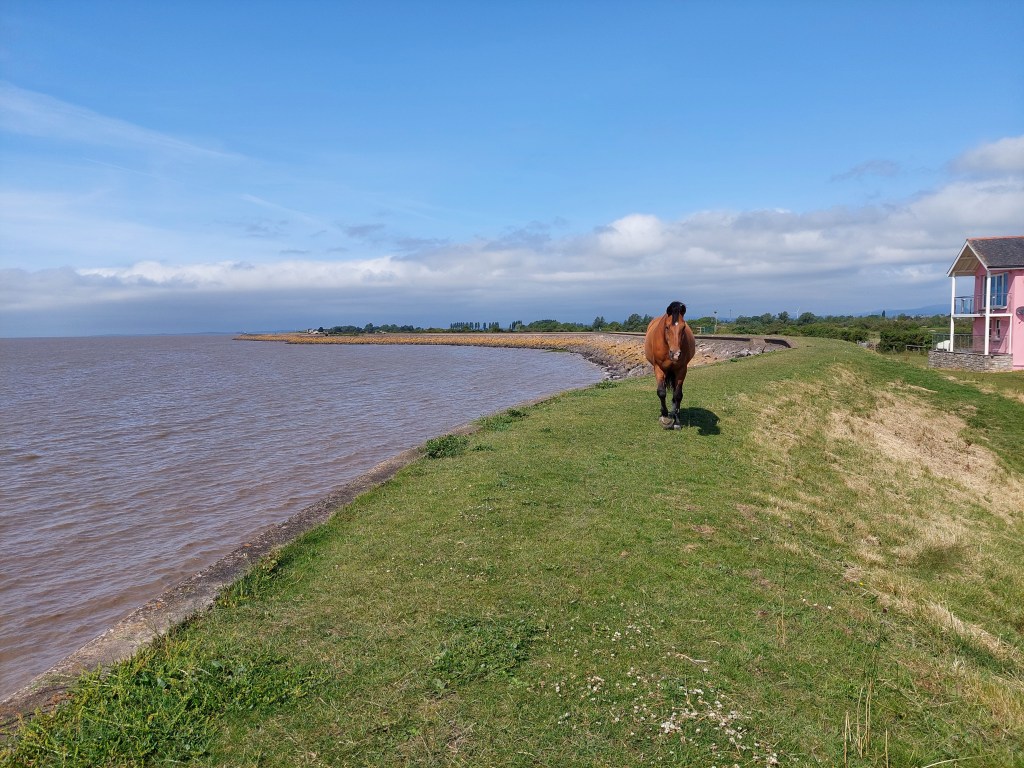
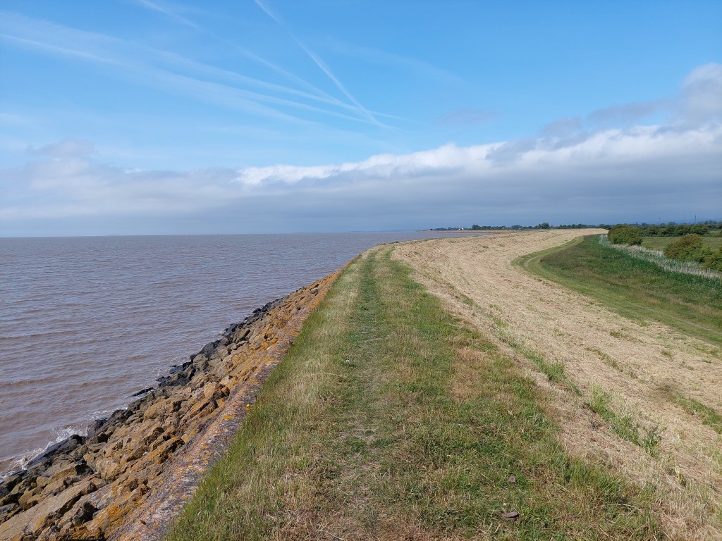
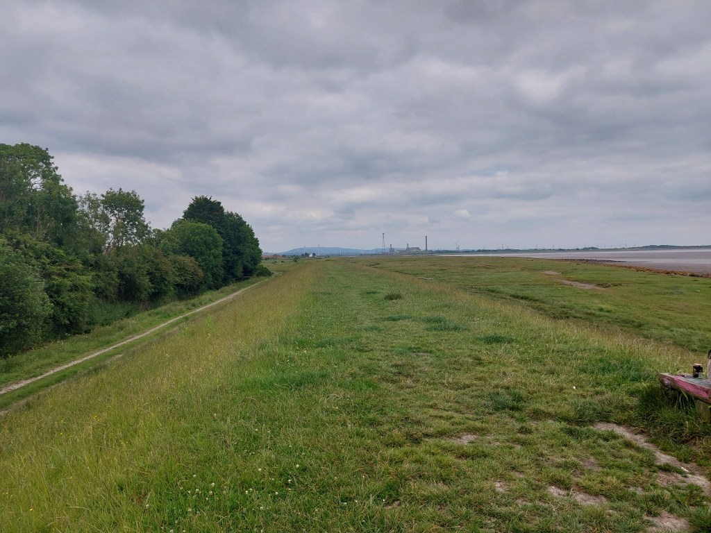
All was well on the embankment to begin with and progress was good. A combination of things made life a little more difficult. First of all there was a small holding with a very affectionate horse – who made access difficult as it was less than a foot from the kissing gate  and then followed me albeit at a better distance to the kissing gate on the other side. Second it got increasingly overgrown. I have known for some years that they do mow aspects of the path, but this needed doing and the cuttings from last time were adding to the difficulty. This is clearly not the most used part of the path! Other sections had not been maintained and needed it! This made it very slow going for about 3 of the 5 miles on the embankment. The view was encouraging and I had a couple of coffee stops on steps down to the estuary side of the embankment.

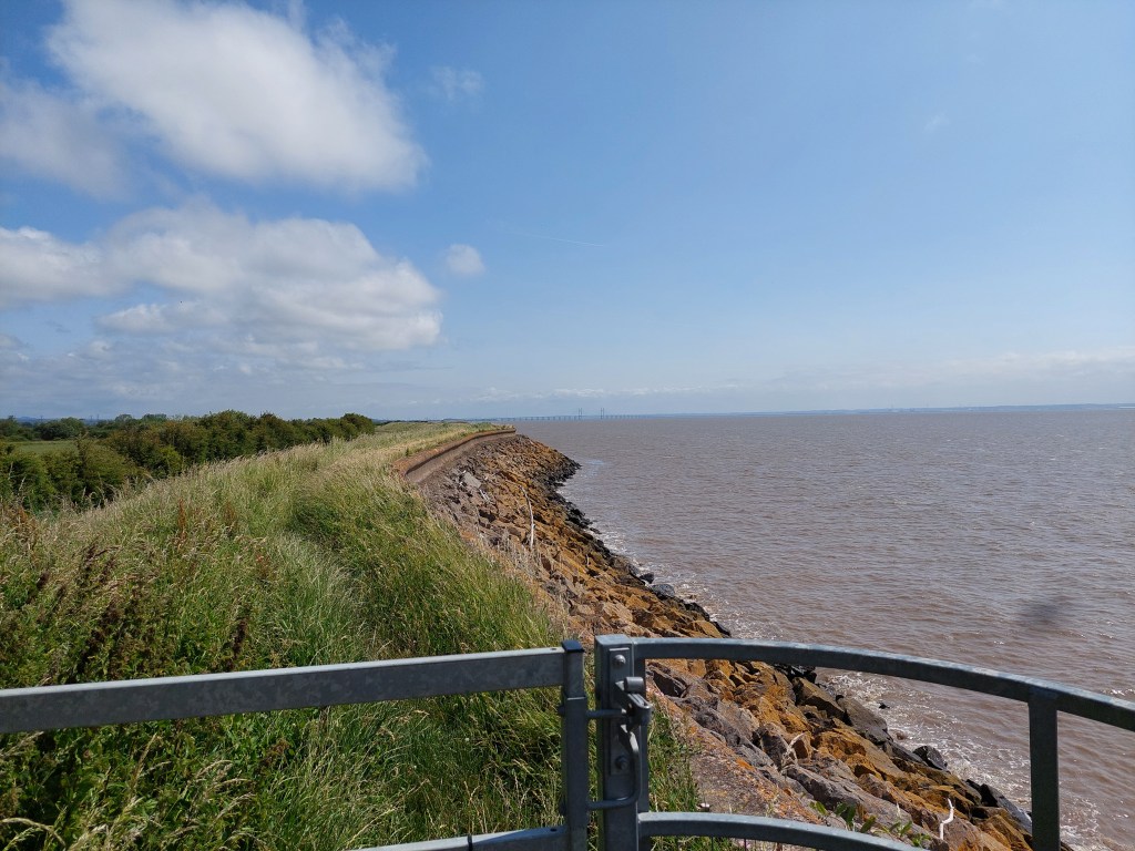
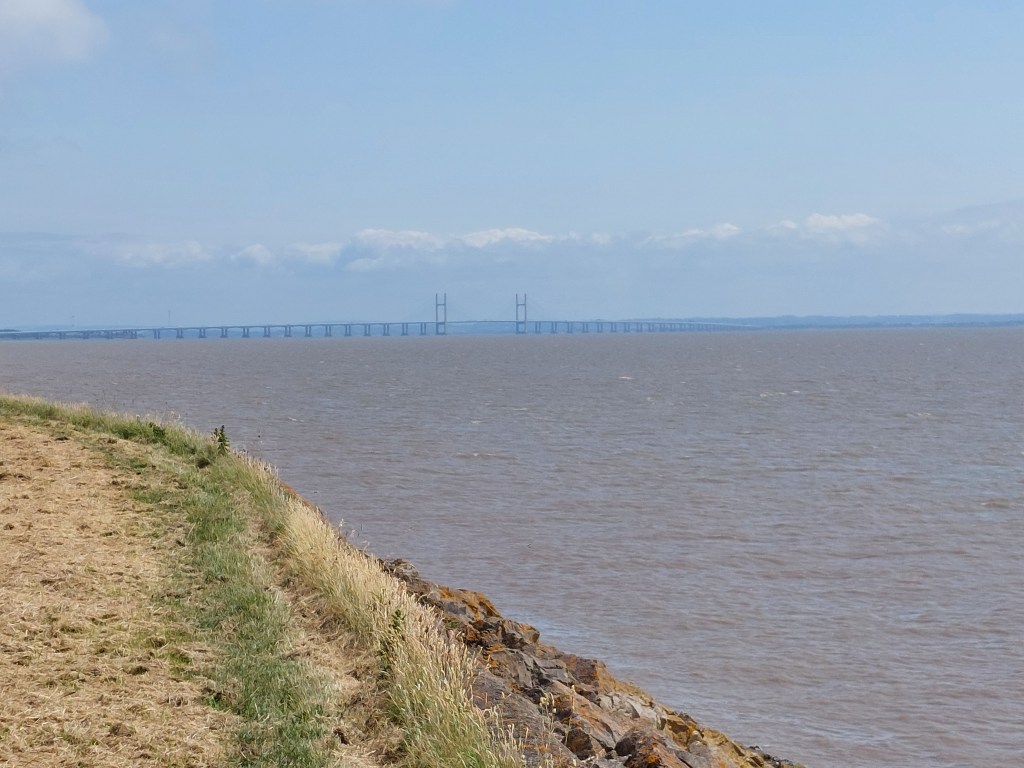
It was nice to see the Prince of Wales bridge getting nearer and nearer! I saw 2 walkers and a tractor the entire way! Rather remote!

It was also important not to overshoot on the embankment and get into a firing range. This was slightly tricky as I was on a section where I didn’t have the map on my phone (being off the edge of the Newport map and not quite on the Wye valley map I did eventually find the spot to turn off inland – but no where comfortable for lunch. So I took the inland cut – which joined the cycle path. After another hot mile in the heat of the day I  crossed the M4 on a road bridge – I took a detour into Rogiet country park and found a very suitable and much needed lunch bench.

It was then another mile to Caldicot station and a short wait for the hourly train service back to Newport.

 On arrival in Newport station, I ordered another Veezu taxi. Pick up was a bit more tricky and I got in the wrong place apparently (how was I to know!). The driver took me to the sea wall at Goldcliff and he was very taken with it! He was still there taking in the view when I left to drive home.

Caldicot to Chepstow

On the trail steps, 23,488 on the trail miles 10.11. Off the trail steps 4813, off the trail miles 2.

I started out early so I could get parked up in Chepstow and on the 9:21 train to Caldicot. Alas no room in my first choice of car park, so I missed the train. The car park I used (Castle Dell) turned out to be very fortuitous at the end of the day but I didn’t know that then. Using the Newport bus app, I walked uphill until I found the bus station and got a bus (X74) back to Caldicot which was a quicker option than waiting for the next train.

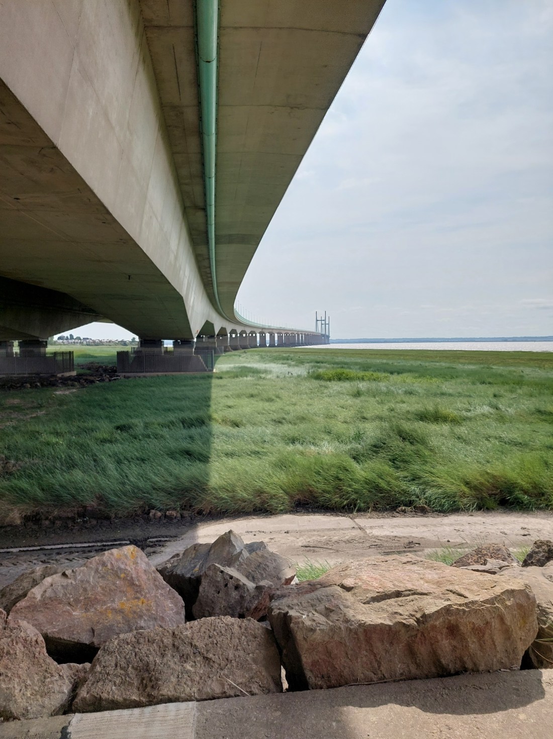
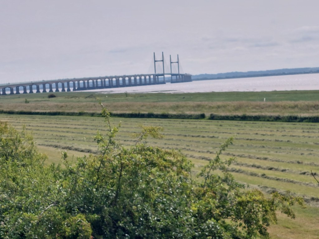
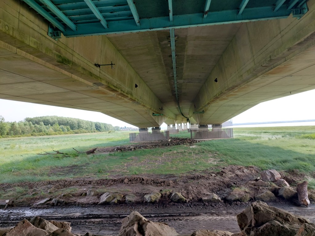
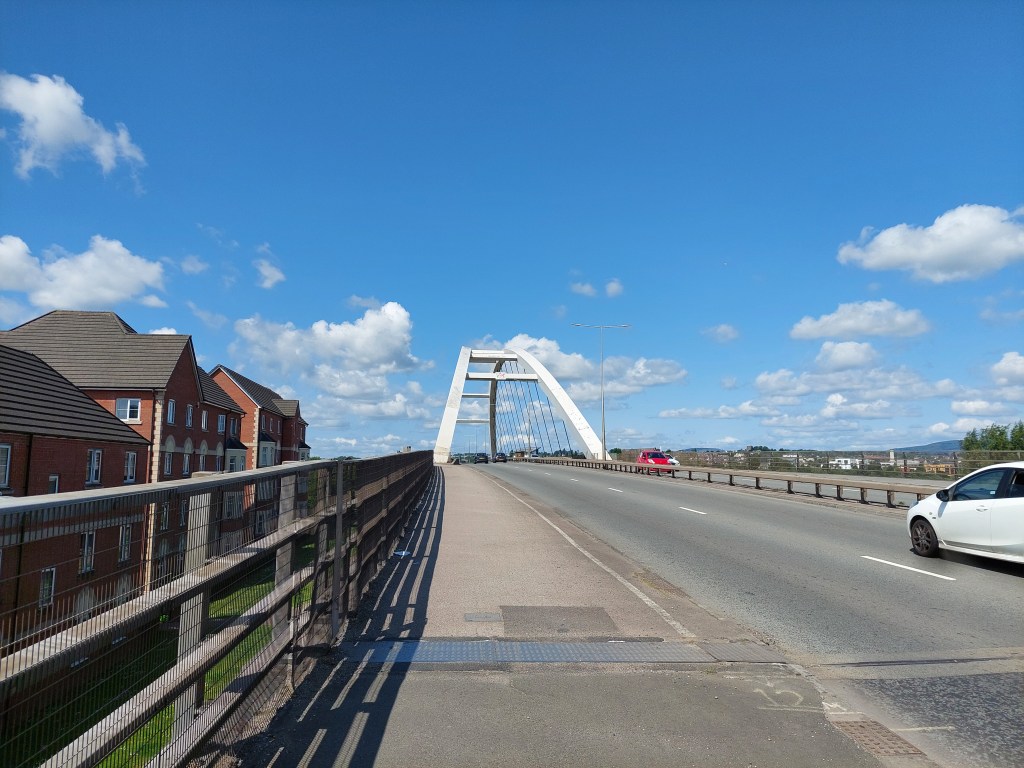
I walked from the bus stop to my touching point and set off! It was another ½ a mile on the cycle track and a footbridge over the M4 followed by several miles back on the embankment next to the estuary. This time I crossed under the Prince of Wales bridge – which was really quite cool!!

I stopped for a coffee in an iron age fort at Sudbrook, and a suitable bench looking across to the Prince of Wales bridge. I then carried on for about 4 miles of embankment walking with a short breather at the black rocks viewing point. This time the M48 bridge was getting closer in front, and the Prince of Wales bridge getting further away behind! As I started the trek back inland and over the railway I got back on the map on my phone – this time the Wye Valley one. This helped as the route involved crossing various fields and was not always very clear! I had a shady lunch on a warm day in Mathern Church yard.

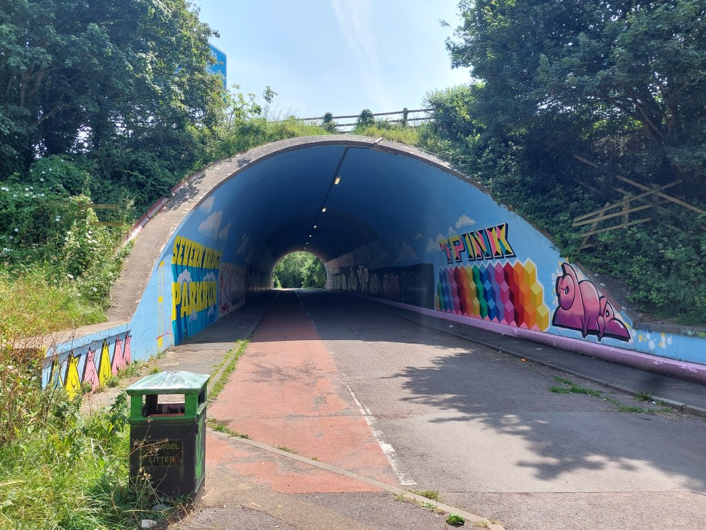
After this it was a hot and long stroll back to Chepstow. There were  contours which are days of walking on a flat embankment was a bit of a shock. There were even 2 stiles (one at a leaning angle) to contend with. I went a bit wrong in the field section, and then up to an industrial estate and park, and then down to go under the M48 in a decorated tunnel. The up into a wooded section, steeply down and then equally steeply back further up into a housing estate! Then another long wooded section and eventually out through the port wall and down into the town.

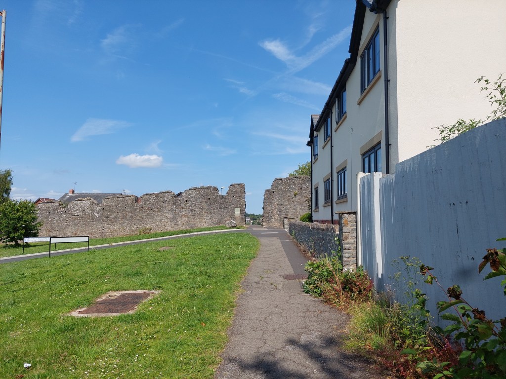
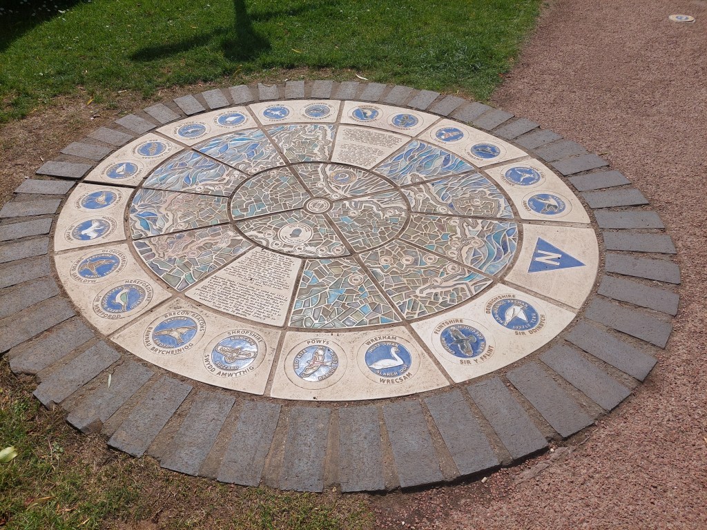
I was very tired by this point but determined to keep going as the finishing point was the end of the trail marker (Not the end for me as I still have more to do!). I also saw the start of the offa’s dyke trail!
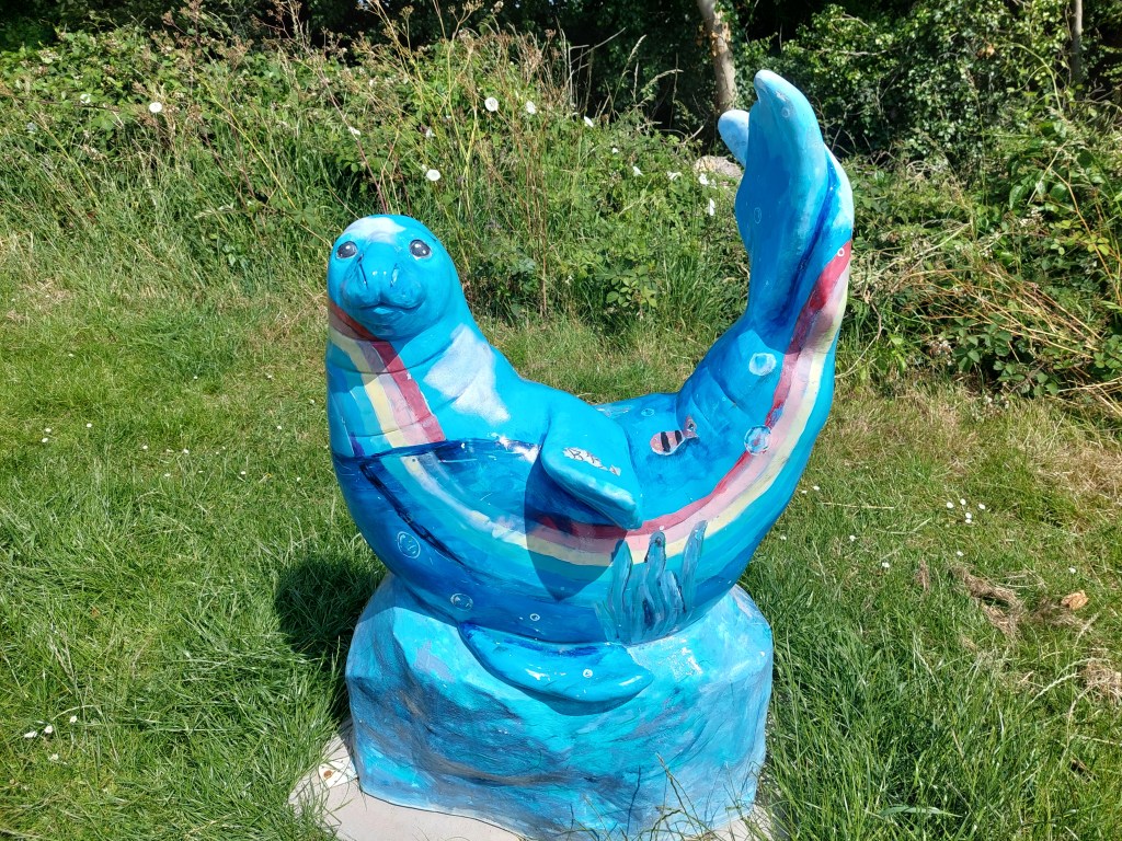
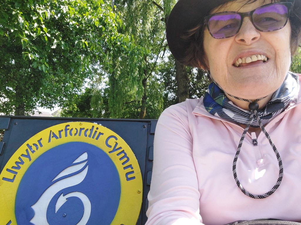
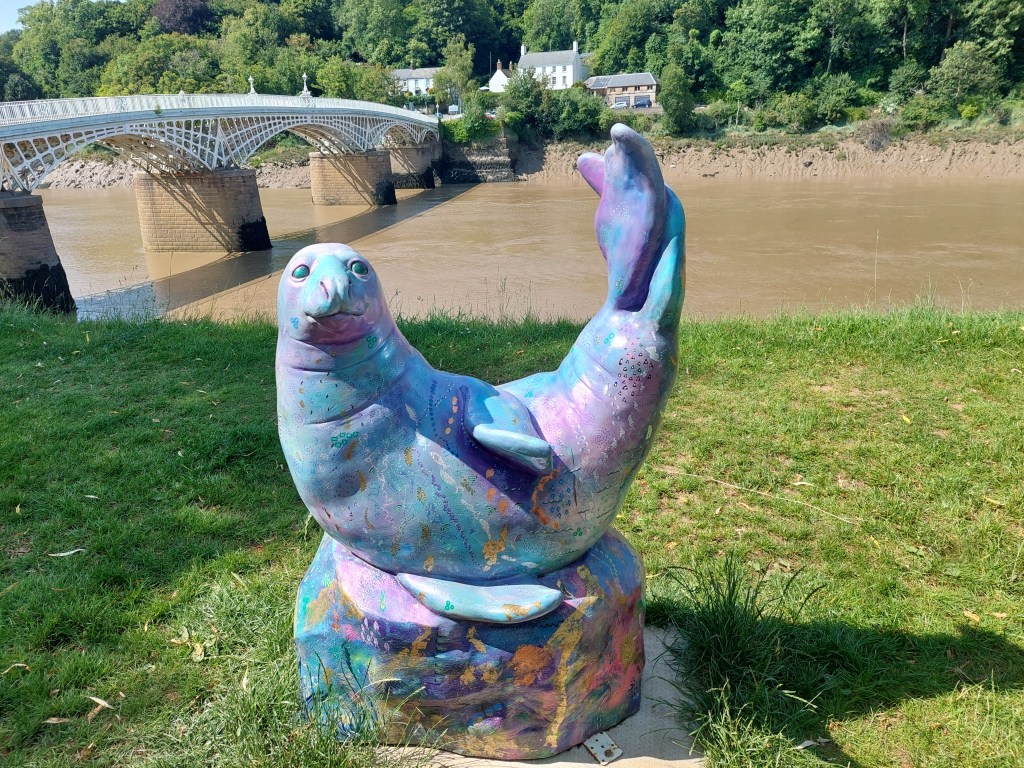
I finally got there and had a chocolate ice-cream and a coke zero sitting on the Wales Coast path bench! I also took some photos of some seals (which could be a treat for another day). A short stroll back to the car was much appreciated at this point as I had walked the furthest I have done on this holiday and was rather tired and also pretty hot!
Wetlands and filling the gaps

Newport RSPB Wetlands to Goldcliff Sea Wall

On the trail steps, 12,600 on the trail miles 5.40. Off the trail steps 5231, off the trail miles 1.93.

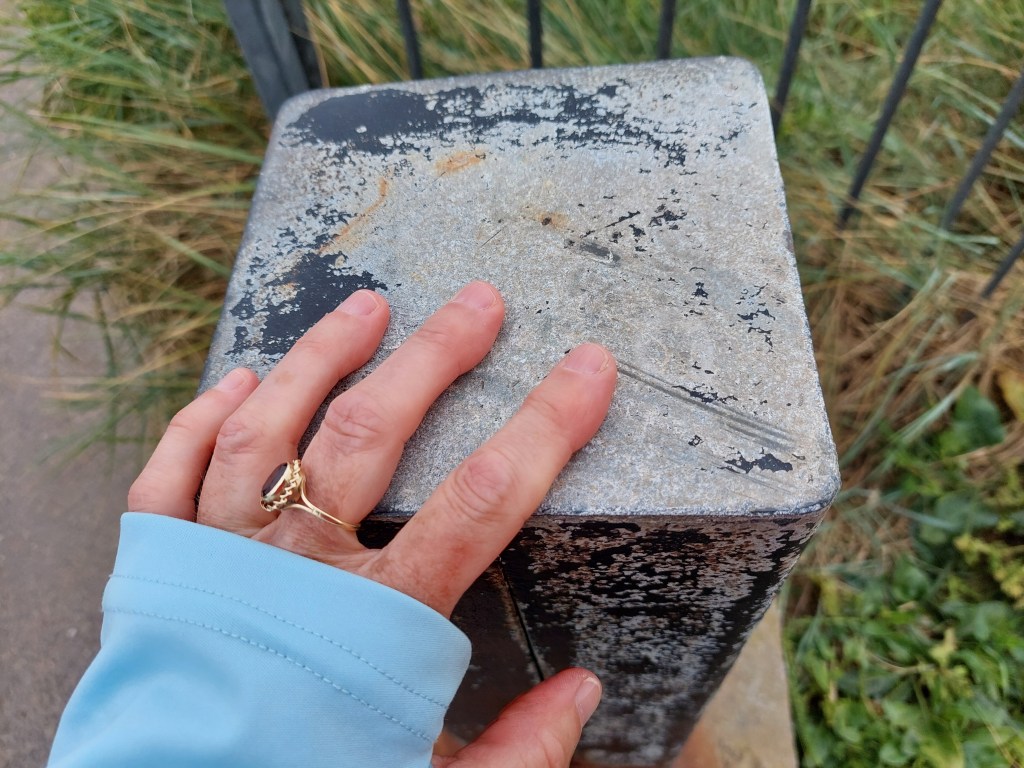
Tried to pick an interesting walk as Athene was joining me (and this one was recommended as a highlight!). After a bit of faffing about, and a quick look inside Redwick church, I met up with Athene and we got the cars in strategically a good start and end point (as this is an area with no buses!) It was great to see Athene, and we started in a very civilised way with coffee and a welsh cake, and a comfort stop before kicking off on the coast path around the wetlands, once a touching point had been established.

 There were quite a lot of benches and people, and occasional sightings of birds and lots of orchids! We also saw the sister of the lighthouse I had seen yesterday – the thinner and less squat East Usk light house! It was good to catch up and chat as we talked, and after numerous benches the need for a coffee stop came after we had just left the grounds of the wetland centre. It took ages to find a not very scenic or comfortable spot by a lane (so we didn’t linger!)

Then we walked around the salt marsh – where we not were allowed to walk on the embankment so as not to disturb the nesting birds, so the view of anything was extremely limited, and then across fields (which was increasingly getting rather overgrown!). The meadow sections were rather pretty (and we did see a marsh harrier though no red beaks (oyster catchers) – though I have seen them several times on the trail.

We eventually resorted to lunch in a bird hide (as at least there was  a seat!) we were joined by a couple of birders but not much to be seen! Post lunch we soon wound down to the car by the sea wall and took a quick walk up to see the sea and establish a start point for when I pick up the trail again in this place.

We drove the second car back to the RSPB place, and had another drink and comfort stop before going our separate ways. Next stop with Athene is centre court at Wimbledon (so excited!!!)

Two gaps

On the trail steps, 16843 on the trail miles 7.26. Off the trail steps 9497, off the trail miles 3.4.

I did 2 distinct sections of walk to join up all the trail that I have done. First from the wetlands back into Newport – which turned out to be rather overgrown in places and clearly not the most walked bit of the Wales coast path. I started from the wetland centre – but was so early that the café and toilets were not open!! I found my touching point and set off.

Due to the overgrown nature of the paths, there was quite a bit of checking I was on the right path. There were several fields with sheep and cows including some young ones (who were a bit frisky!). I saw absolutely no-one on the first part of the walk.  Navigation and the going got a lot easier when the path  joined a cycle path as we got closer to Newport (and landed in the inevitable industrial estate). I was soon back next to the A48 and over the road bridge to my touching point. There were again excellent views of the not functioning transporter bridge.

I crossed the road, and availed myself of the convenient costa coffee I had seen on my previous visit. I then hailed my first ever App based taxi service (Veezu in Newport!). This worked amazingly well and they ran me back to the RSPB place (as there are no bus options).

I drove a rather eccentric route back, finding somewhere to eat my lunch, and then went down to Rhoose to pick up Gavin for the second gap walk from Rhoose into Barry!

This turned out to be a much better path with no overgrown bits and much more up and down! We went back to the most southerly point of Wales touching point, and set off! Again lively conversation was had, as we headed towards Porthkerry through the inevitable caravan park, and down through the trees – some ancient ones!.

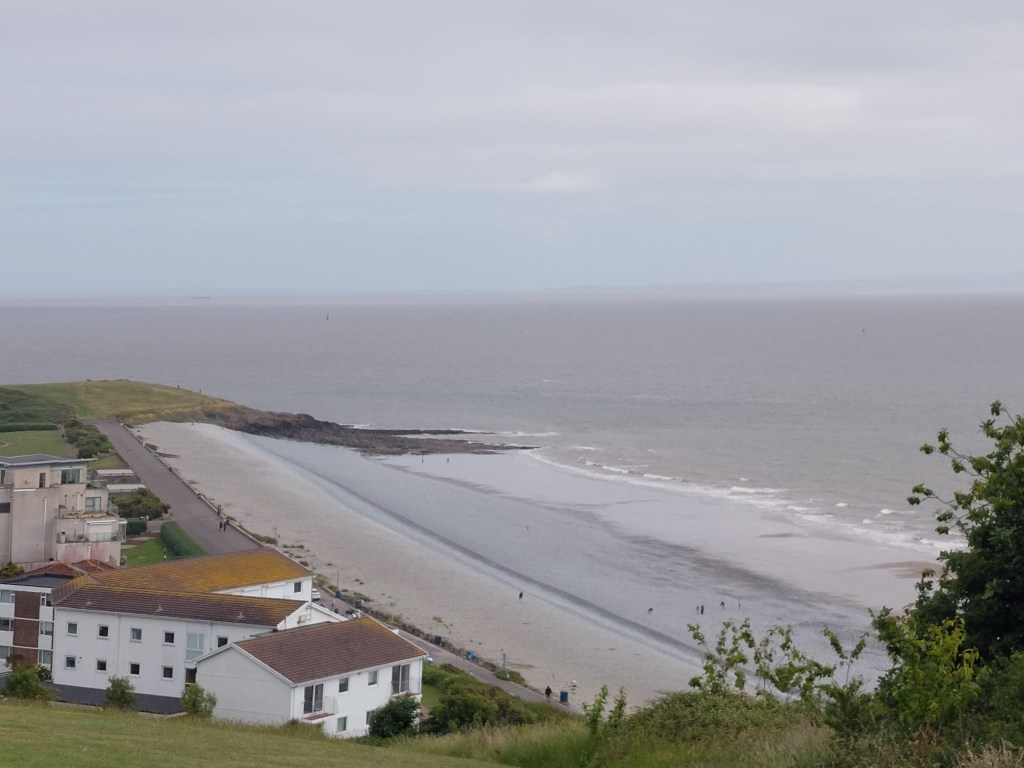
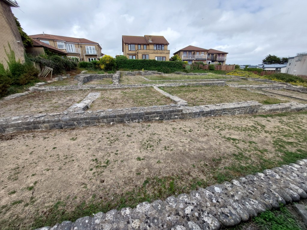
We stopped for a breather and a drink in Porthkerry park, and then a stiff ascent up and then over into Barry. The ascent began with steps and  a false summit, it eventually levelled out with a wide expanse of green, and posh houses with a fantastic view! We had to work over to the coast path a bit for the steep descent (without steps). We had a brief pause at the Roman remains on display at the bottom of the hill. Then a bit of a canter along a short promenade. before catching a short cut across the beach to connect with a path and a bit beyond my original touching point from last Saturday.

We headed to Zio’s and met Alison and had excellent icecream. Later Gavin and Alison came over to base camp for supper.

Low cliffs and lots of embankment walking!

Rhoose to Llantwit Major beach

On the trail steps, 16,565 on the trail miles 7.12. Off the trail steps, 2,641 off the trail miles 1.13.

Had a more leisurely morning, caught up with the blog and sorted some stuff out. Then headed off to Rhoose to see Gavin and Alison, as Gavin was going to walk with me for the day.

After a coffee and a catch up, we set off from Rhoose establishing a very scenic touching point at the gap – to be picked up later to complete the section back to Barry. This was close to the most southerly point of Wales. The walk had wide expansive views of the Bristol channel and the shipping, and was more classic low cliff walking. We were making steady progress into the breeze. There was lots to see including geological formations, fossils and a rocky shore line. Much conversation was had.

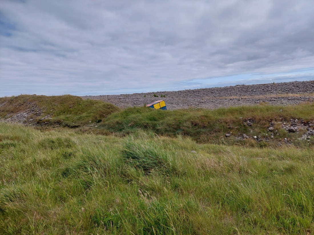
We had a breather on a log when we descended down to a path by the sea wall after the lengthy stretch next to Fontgarry Caravan park! We were chased by the man on a ride-on mower for most of that too! As we continued we saw the cement works and the power station and outer workings of it. It was fun to see some antitank defences which had been painted, including an impressive rubics cube!

We had lunch just beyond the Aberthaw power station on an uncomfortable bench in the car park. This seemed to be a favourite amongst dog walkers. A very chatty chap told about the latest ‘urban thrill experience’ was to break in and explore the derelict power station (we had seen holes in the perimeter fence!). Not my idea of fun! We continued to walk at a low level, which was very reminiscent of Suffolk beyond Sizewell. It was a bit rough and ready (and actually we should have gone in land!)

It was at this point we saw the first sign indicating a path closure. It was not at all clear so we carried on! We eventually reached a barrier not across the path (and I sent Gavin ahead). There was one bit of path in need of attention but it was passable with care! It was all abit overgrown – and we came out by the second barrier (also not barring the path) by the seawatch centre. We were intrigued by an accommodation block at Hafod.

After this we had about 3km to go – and we managed a cliff edge path in some huge fields. There was a down and up section, and finally we wound down into Llantwit beach. I was so pleased to see our lift (Alison) – that I forgot to establish a touching point! Oops. Back to Rhoose for a lovely supper and more catch up too!

De haviland Road, Pengam green to Lighthouse park

On the trail steps,  18,208 on the trail miles 7.84. Off the trail steps 6,681, off the trail miles 2.86.

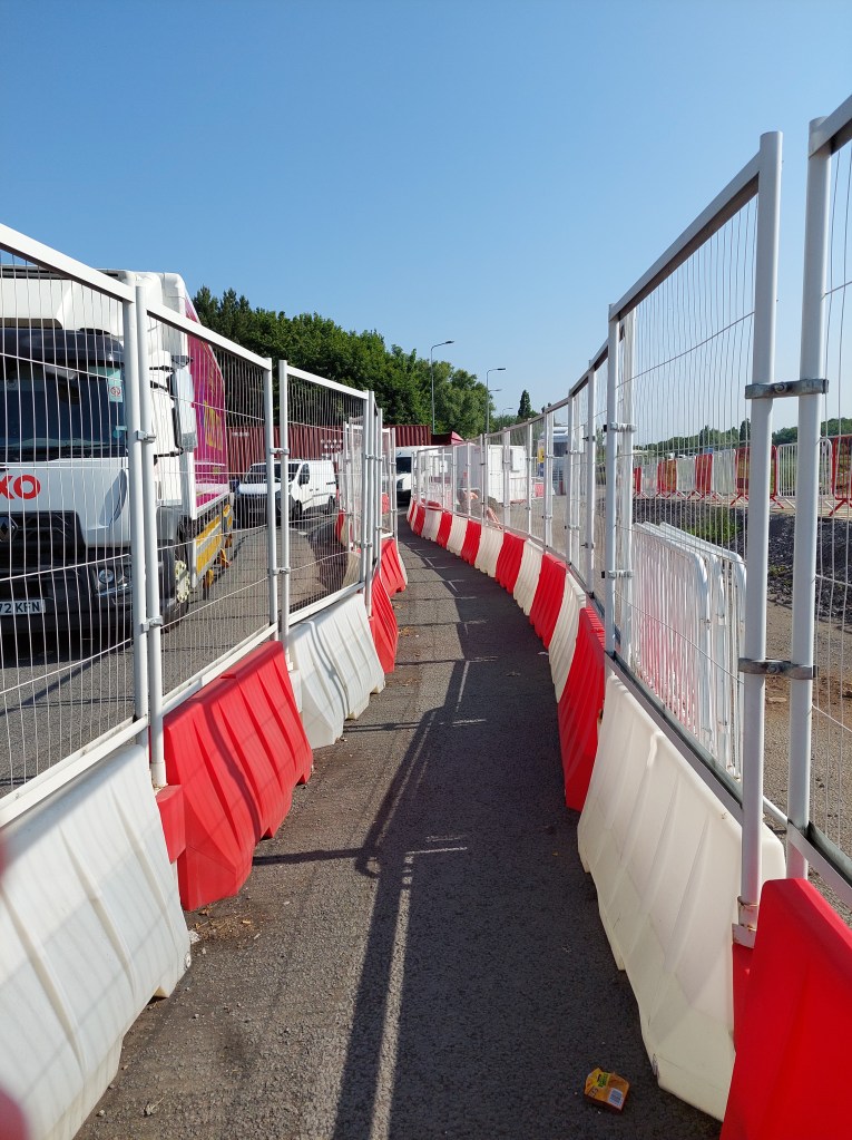
Unfortunately when I had got home last night I found I had a blister – so compeed (other brands exist) to the rescue and back in the old boots for today’s walk. Made my way back to Pengam green, and found somewhere sensible to park (about ½ mile from the touching point in De haviland road. When I get the bus back I will connect the gap, but for now touched the car as an interim starting point. The initial stretch was complicated by roadworks and a special walking lane at a roundabout and about ½ a mile next to a busy road. It ducked off into a park with a large pond (but you could still hear the traffic). It then struck out towards the coast, coming out near an embankment – which I walked on for much of the rest of the walk. I had an initial coffee stop sitting on a green storage box.

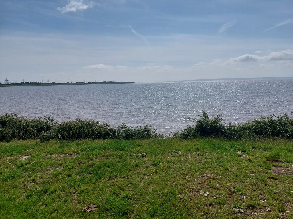
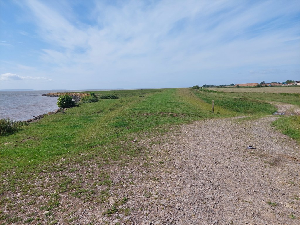
Initially I saw only 1 person on a very isolated spot walking alongside the estuary. It got increasingly humid and I dodged some cows, there was some interesting birds too. I stopped for a breather at the first get off point – near Peterstone church, sitting part way down the embankment. I didn’t linger as it was a bit hot and uncomfortable! The view was very constant – large estuary, with a varying amount of shore (and rural land put to various uses on the other side and some marshy stuff too)!

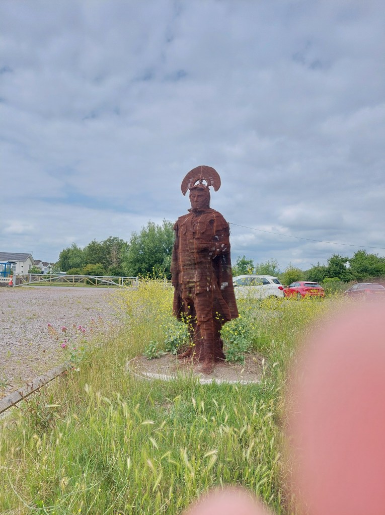
I stopped further along just beyond Peterstone Gout by the emerging sea wall. At this point people became more prevalent. Another possible exit point emerged and I realised that the bus stopped near the coast at Lighthouse park. I was getting hot and sweaty in the prevailing conditions, and I knew it would be too far to walk the final bit into Newport from where I was. So I established a touching point here, and cut inland to a closed pub/café and ate my lunch at a picnic bench next to a Roman Soldier sculpture and then took the 31A back to Newport. We went on a diverted route including the M4. Lighthouse park turned out to be a static caravan complex!

I wandered into the shopping centre to find a toilet, and then got the bus back to Cardiff (X30). Then a short walk to a number 11 bus stop in the centre of Cardiff and a half hour wait to get the 3rd bus of the day back to Pengam green. I walked to the De haviland road bus stop – touched the touching point and did the extra half a mile back to where I had parked the car.

Lighthouse park to A48 road bridge in Newport

On the trail steps, 12,634 on the trail miles 5.41. Off the trail steps 53147, off the trail miles 2.29.

After a rest day (with a lot of driving but that’s a story for another day) – the blister was still on going so another day in the old boots ahead and with compeed protecting my left foot! I drove back to the Lighthouse park, on the way passing the six bells – another very closed hostelry – which was described in the guide book as a going concern, but it has been tough times. The local community were trying to save that one!

I set off via yesterday’s touching point, and walked to the West Usk Lighthouse on the embankment – with birds, cows, horses etc!. The lighthouse was quite charming but very squat as lighthouse’s generally go. There was lots of accommodation around it – but the path diverted onto a track around it with some very unfriendly notices! I missed the initial link to the coast path by crossing a cattle grid carefully, and then had to come back across. One more final stretch of embankment before the path turned inland and into a farm track. I saw one person in this whole stretch, along with horses, cows and sheep!

The track wound inland and up and over the railway before emerging onto a road. I was pretty desperate for a good coffee stop but without much success. A short stretch on an overgrown path followed, and then a rather desolate bit with lots of rubbish and school boys near a high school. It came out by a rugby club and eventually I found a bench in a children’s play ground after going under a main road in a tunnel and back over the railway line.

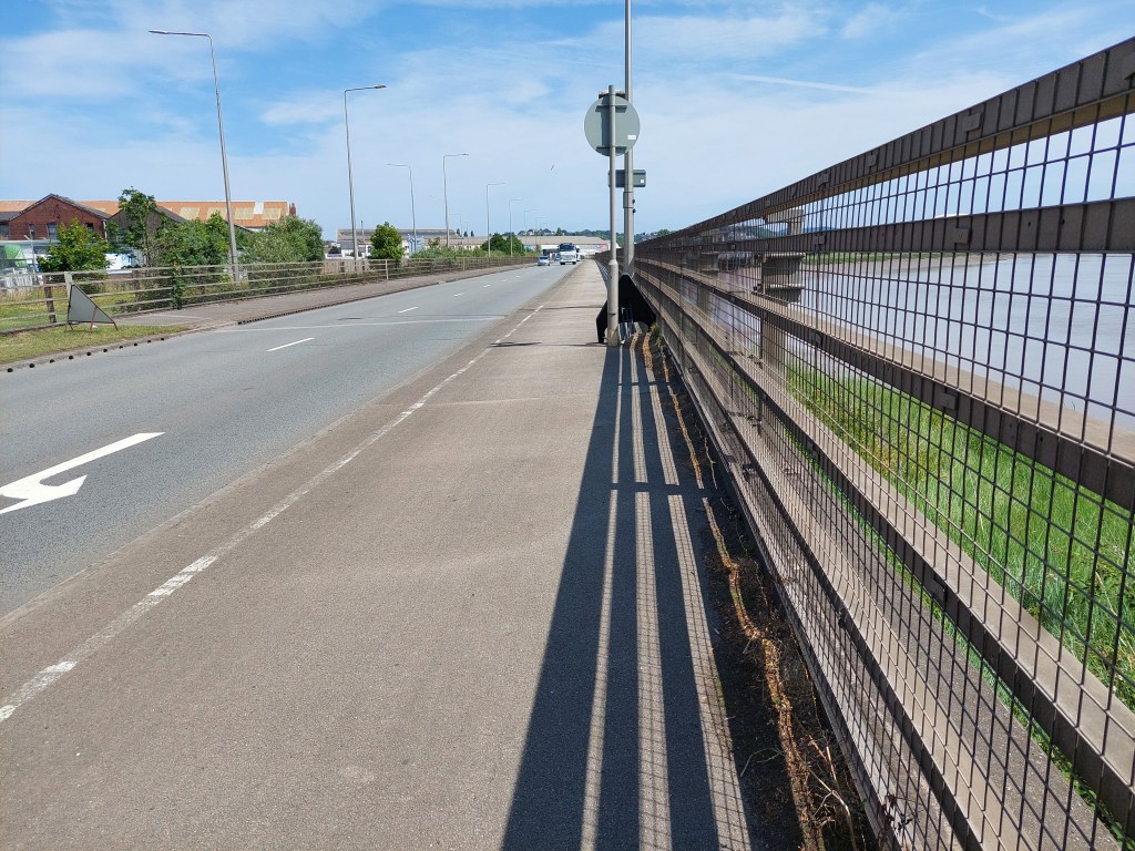
What followed then was an urban stretch through 2 out of town shopping areas, and a more pleasant residential area working around to the A48 and to the very closed Transporter bridge. It remained a very impressive sight and had a smart visitor centre – I wonder what has happened there?

It was again warm and sticky and walking next to a dual carriage way on a main road is not my favourite! I stopped and established a touching point by the Old Dock reach – and walked back into Newport for a mile, to pick up the 31A bus back to Lighthouse park from the bus station. This went a very convoluted route back (and took 50 minutes!).

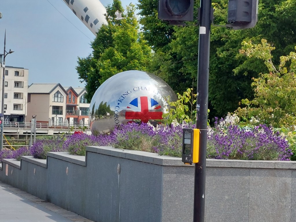
I liked the Coronation balls I saw as I walked to the bus station! I attended to some necessary shopping for food and blog writing when I got back to base camp!