
On the trail steps 36321 miles 15.72 – Off the trail steps 24891 miles 10.48. Total Miles over 4 days 26!
On Friday I got away quite early and was pleasantly surprised that my efforts were rewarded by a reasonable experience of the M25! (much against my expectations). I made steady progress stopping a couple of times, and then eating a late lunch after a trip to local coop to top up on fresh stuff.
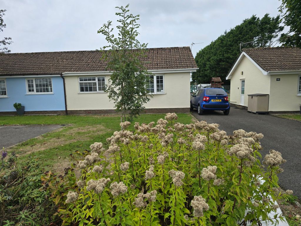
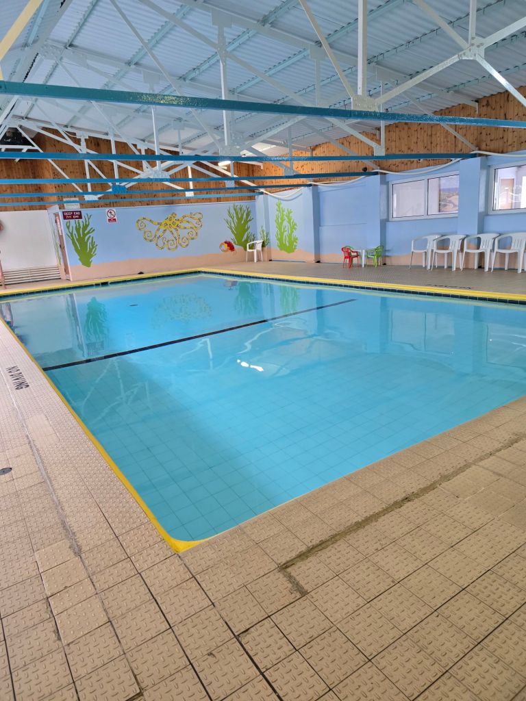
Base camp is a well equipped (and reasonably minimalist) chalet quite a long way down the Gower. The bonus news is that there is a swimming pool and jacuzzi – which will be very welcome for aching leg muscles! I settle in and so far I have only forgotten to bring a microwave animal in case it gets cold at night!
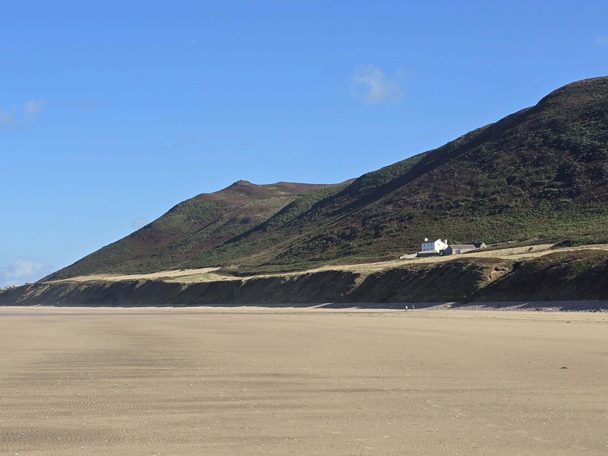
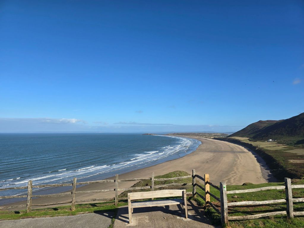
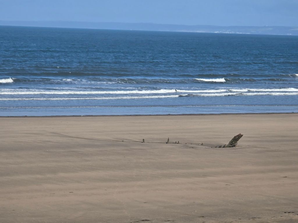
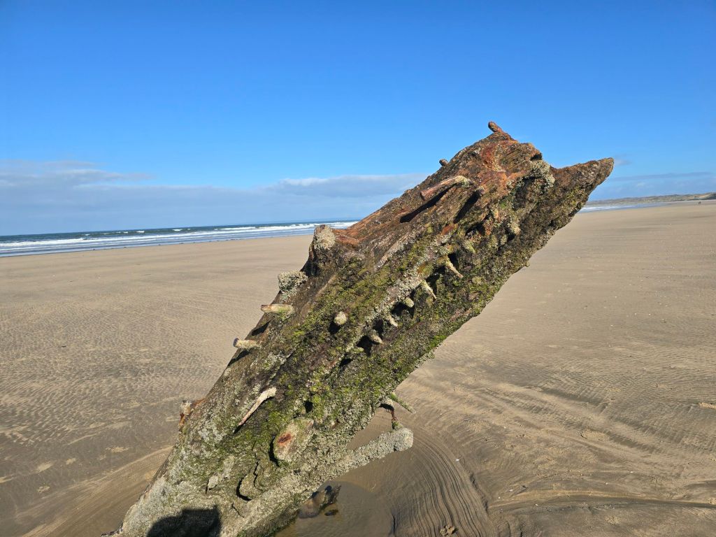
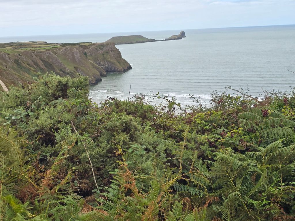
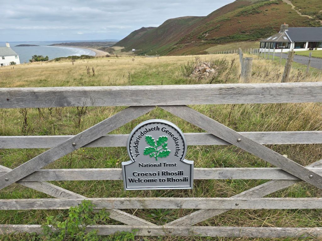
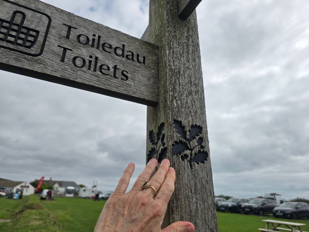
Saturday morning dawns, bright and sunny. I return to Rhossili – such a contrast to my last visit when I got soaked to the skin! I find the touching post from last time, and set off down to the beach. The plan is a circuit on the beach on the way out and back on the coast path. It is a beautiful spot and I manage the steep concrete path with lots of steps down to the beach – near to where the Helvetica (ship wreck ruins) were clearly visible.
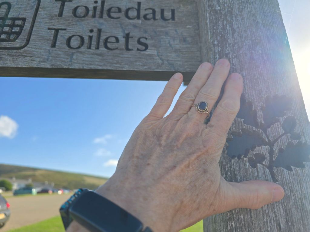
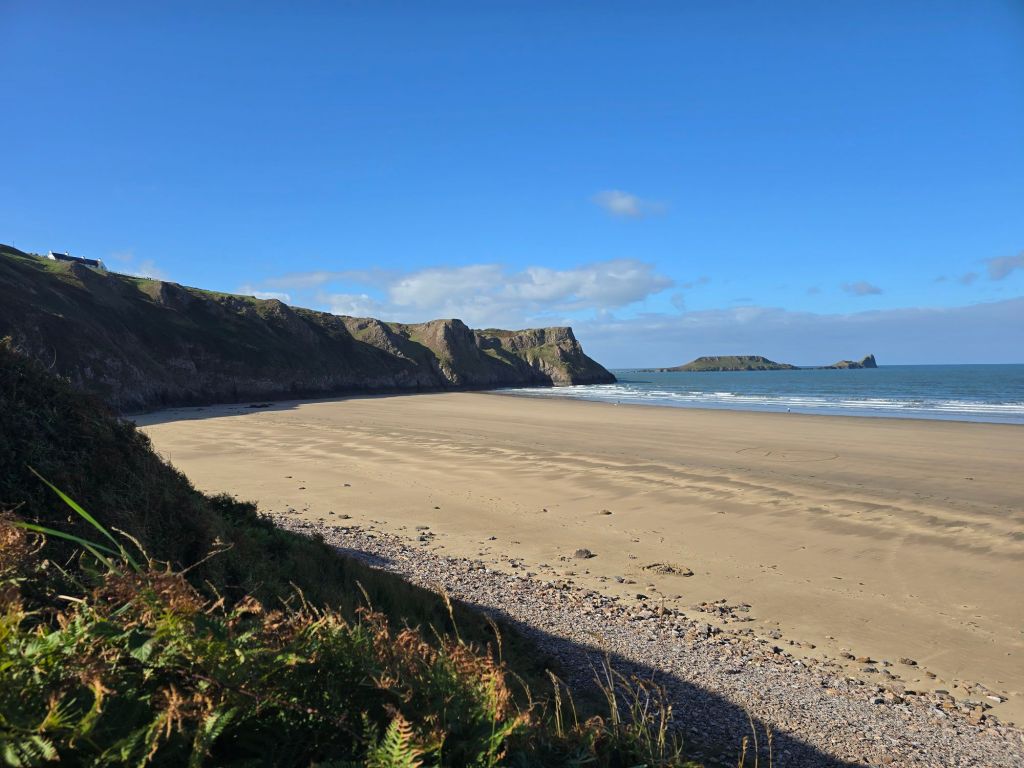
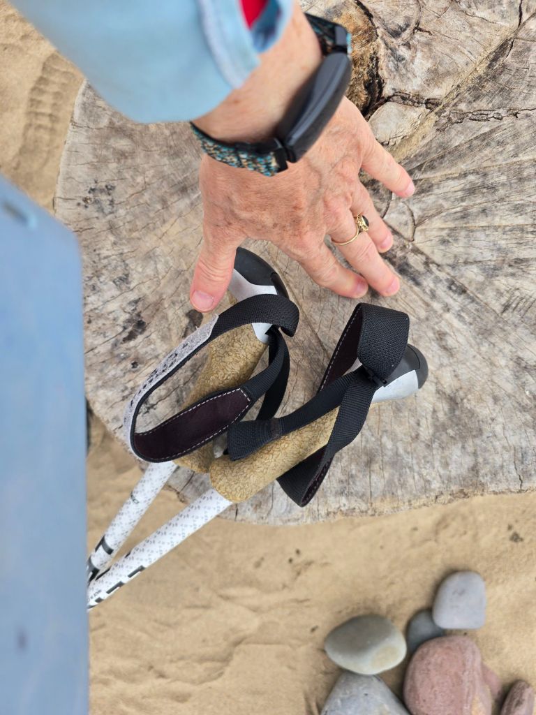
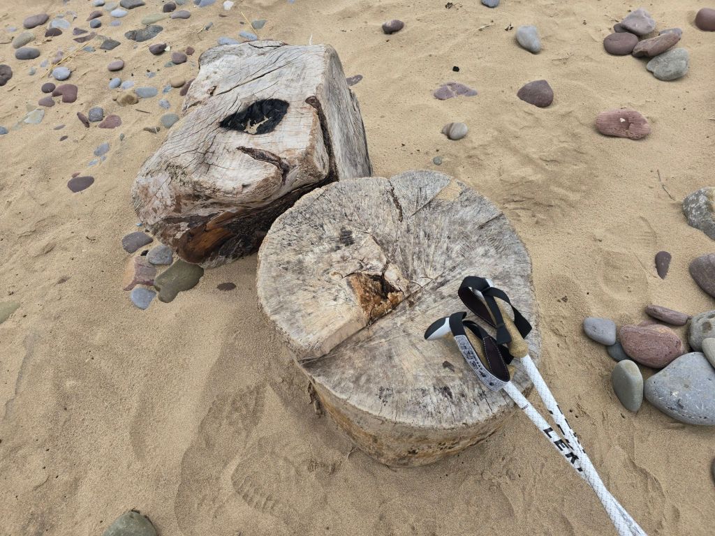
I walked a couple of miles and it began to cloud over. I realised in my enthusiasm for the sunshine I hadn’t picked up anything waterproof so I was thankful it didn’t rain! I had a coffee sitting on a cut log circle (and used it as a touching point), and then headed inland through the dunes to pick up the coast path. This wound through a caravan/surfing site and there were some very impressive toilets (which were very welcome!).
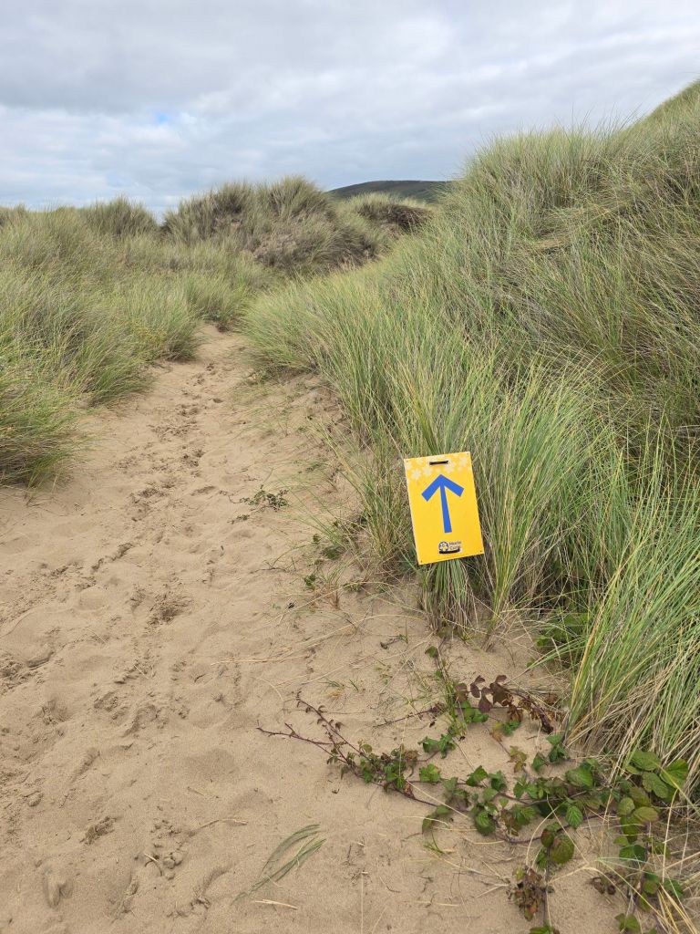
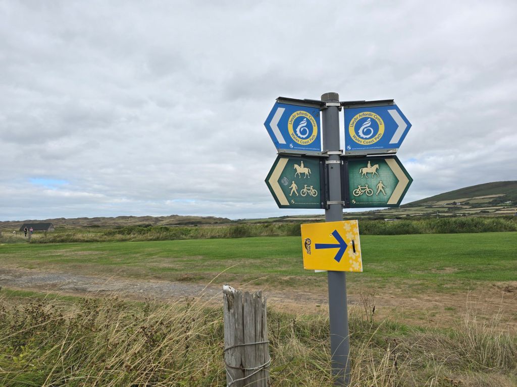
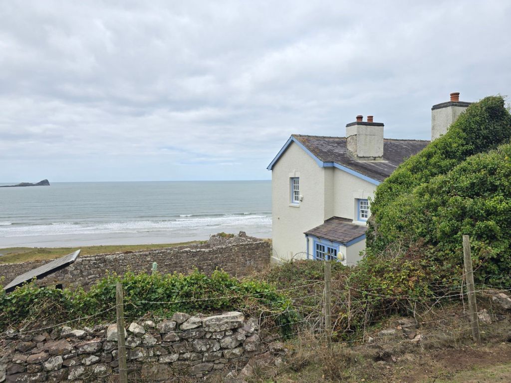
The coast path was on the route of the Marie Curie ‘walk Gower’ event, so it wasn’t very long before I was overtaken by a yellow clad 10 mile challenge walker! This path gently climbed back up to the Rhossili level over the 2 miles back. I passed the most scenically positioned Old Rectory – which had been used by the vicar covering Rhossili and Llangennith! No doubt getting on his horse to ride between the two!
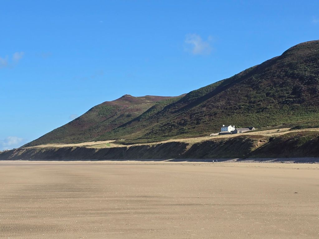
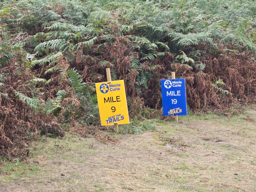
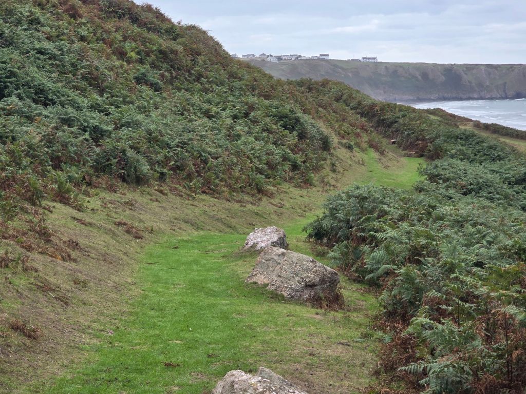
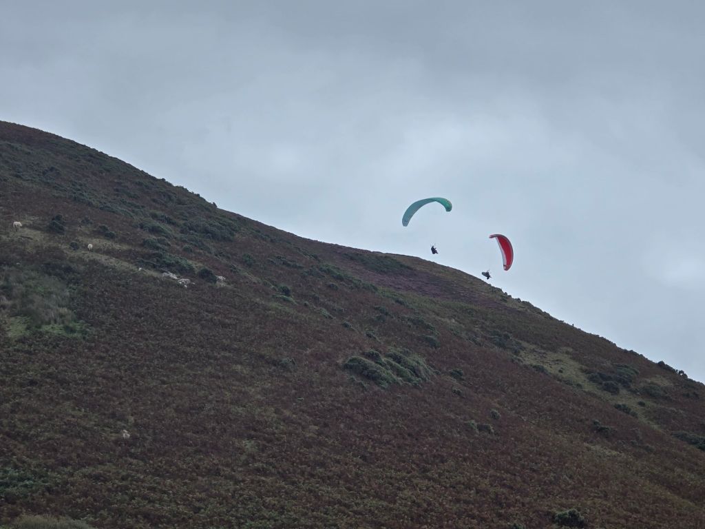
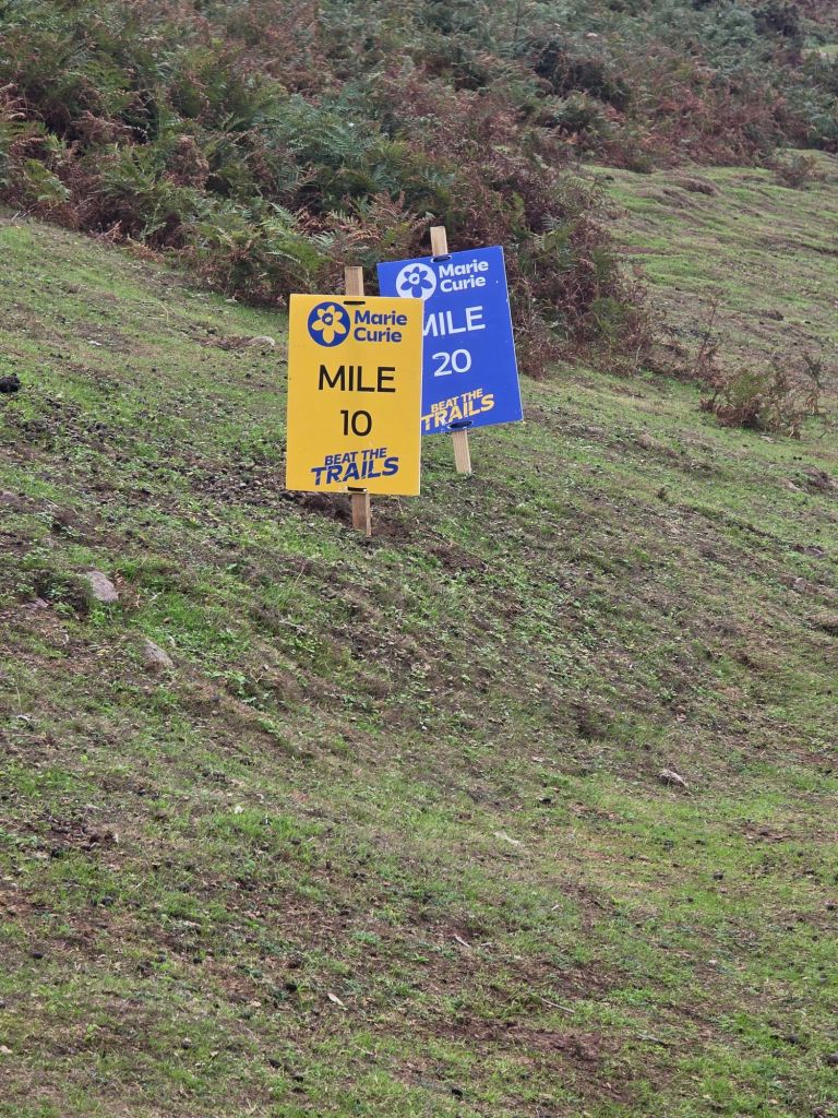
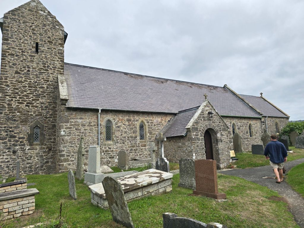
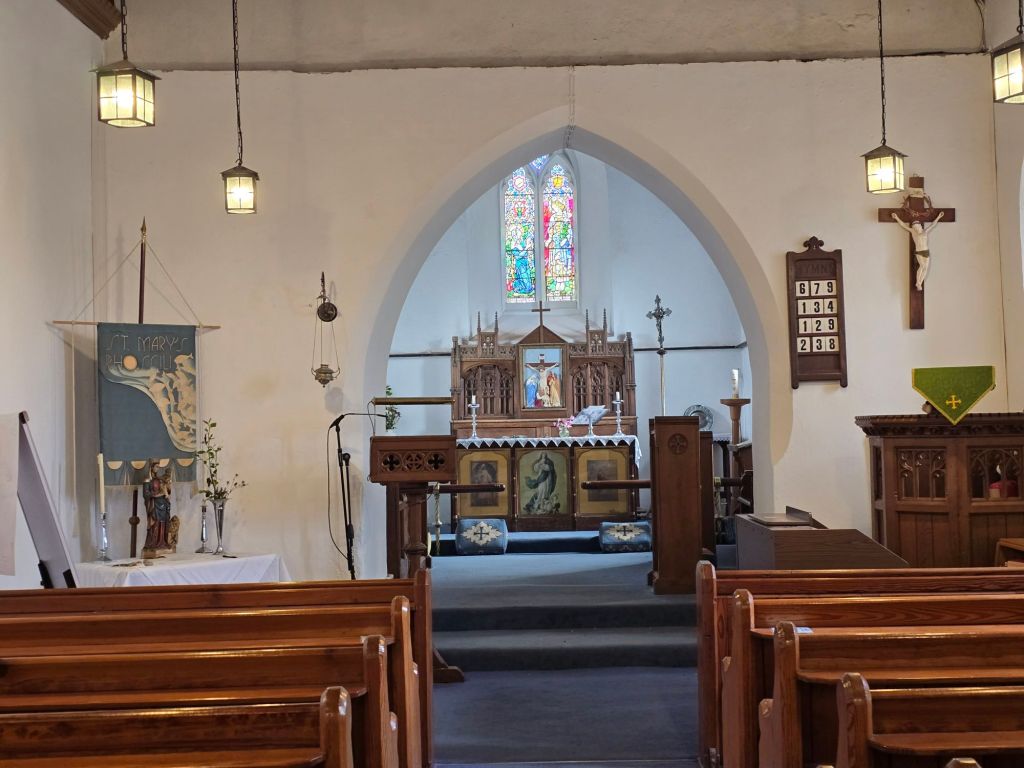
It was much greener than I am used to and there was even a little mud! (a rare sight this summer in Warlingham!). I popped into the church on the way past. I reconnected again with the touching point I started with. By the time I got back to the car, I had been overtaken by about 10 yellow walkers, and as I ate my lunch I watched a steady stream heading for the Rhossili finish line. I didn’t see any blue clad 20 milers though 2 brave yellow ones were also wearing daffodil headdresses!
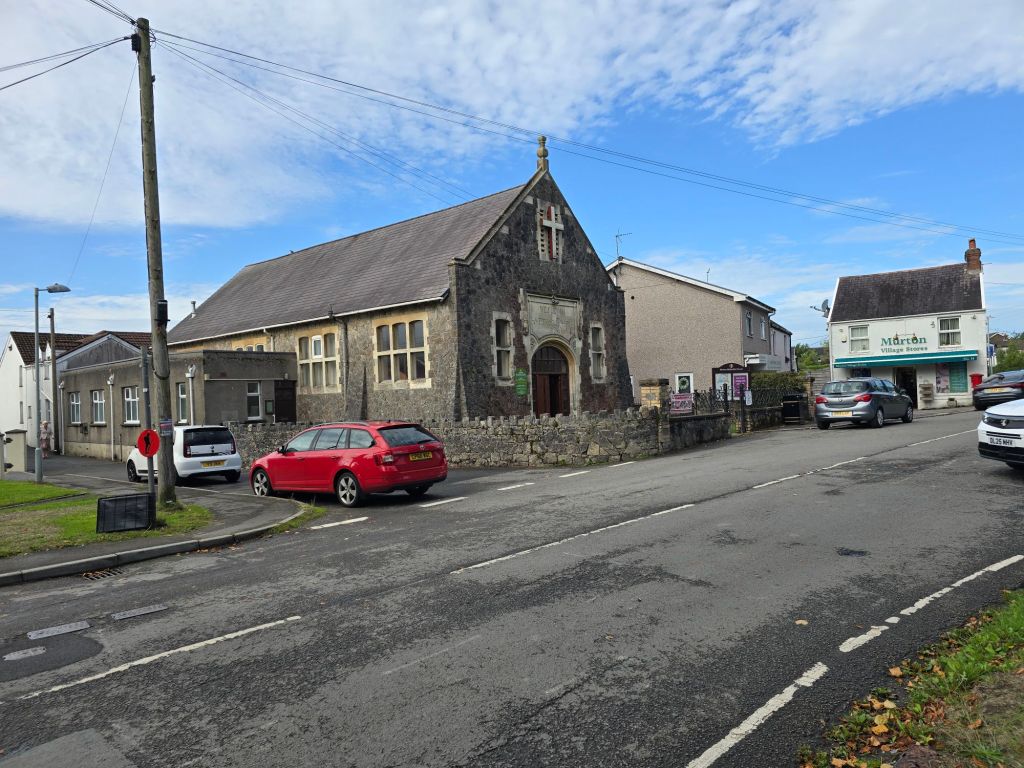
Sunday morning I went to the Methodist Church in Murton for worship – which featured one of my friends from theological college, and was a combo of thoughts about what it means to be a good neighbour in life and to the world. I drove back to Hillend (which was where I had left the beach on Saturday), and then got back to my log circle touching point. The only problem was that someone had set fire to two of the logs – I tipped one on its side in an effort to put out the flames but the other bit was too heavy to move. I don’t understand why they had been set on fire.
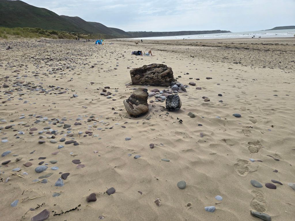
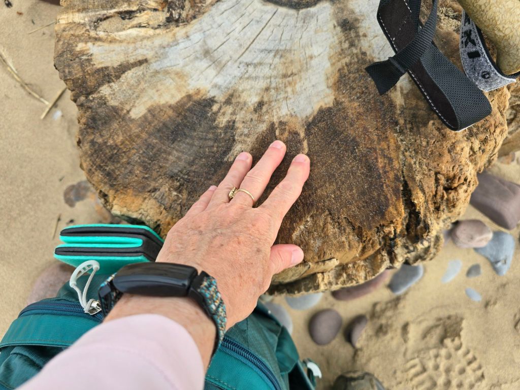
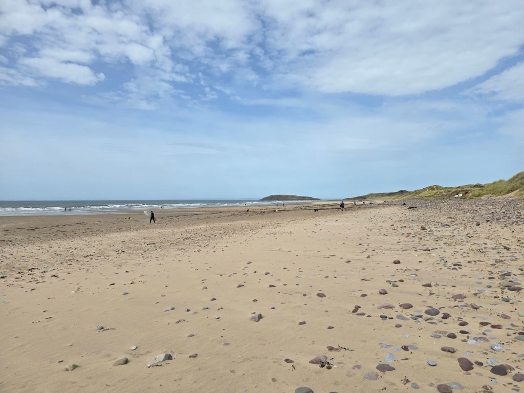
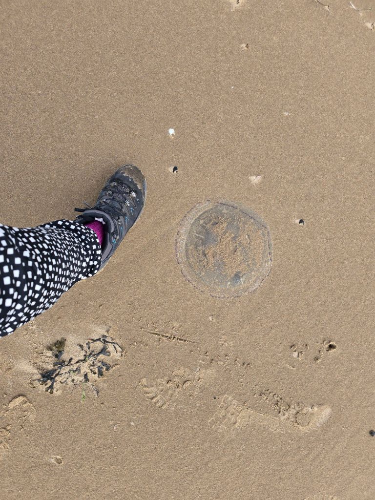
I used a neighbouring log circle as a replacement touching point, sat on it to have a coffee and then continued to walk down the beach. It was busy near the car park with the surfers and other folk enjoying the beach but after a while it thinned out to a handful of people walking the coast. I managed to avoid treading on a large jelly fish
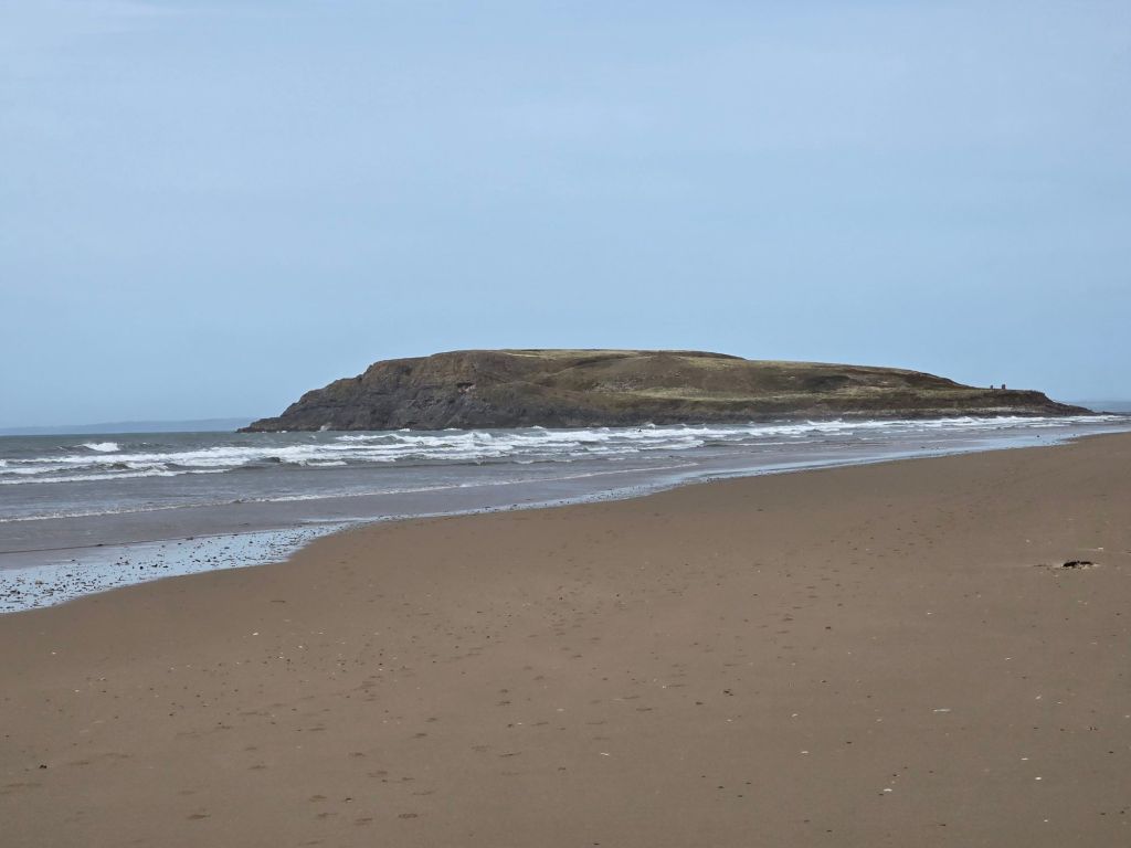
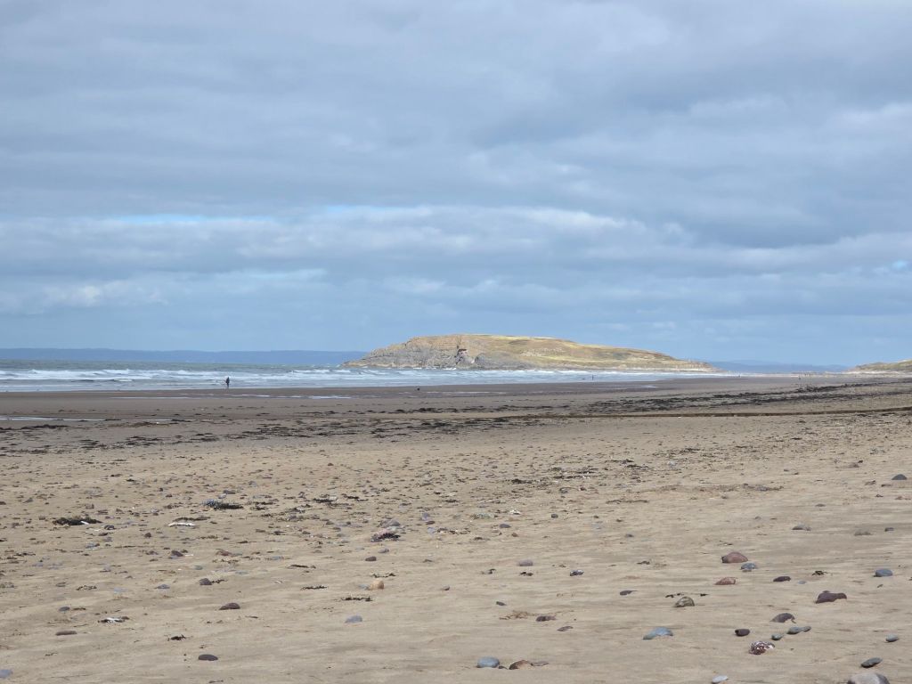
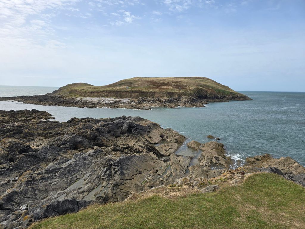
I got as far as Burry Holms island after about a mile – which looks very like Burr Island without the developments! The island was cut off by the tide so no possibility of exploring it, so I found the way off the beach onto the headland and a stiff climb followed and a section on the headland – which was rather sandy in places and therefore rather challenging underfoot. I eventually found a place to stop overlooking the bluepool corner to have a late lunch – with an arch but the bluepool was not visible as the tide was in. It was a still a lovely spot!
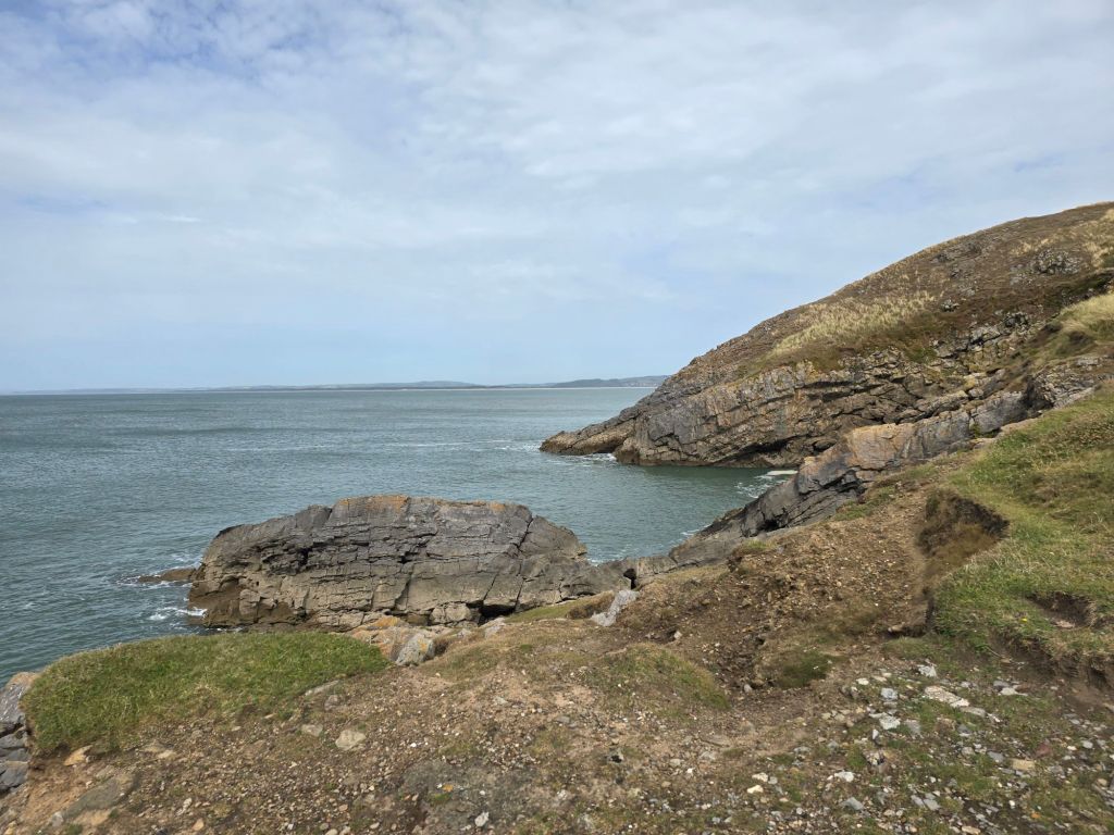
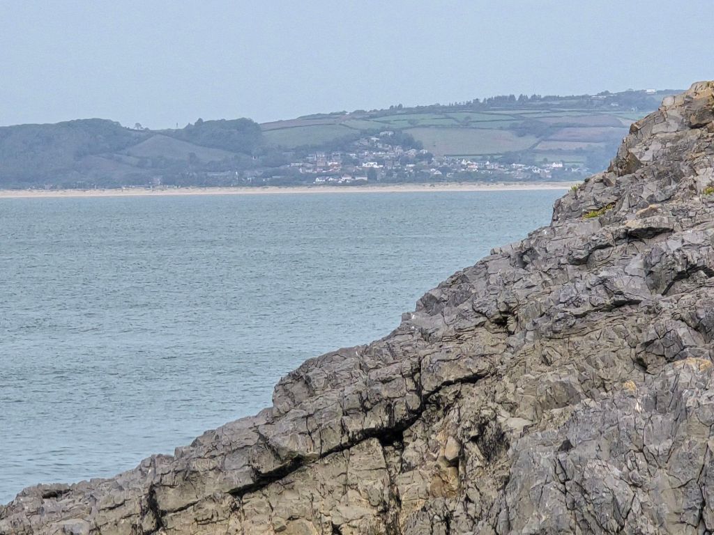
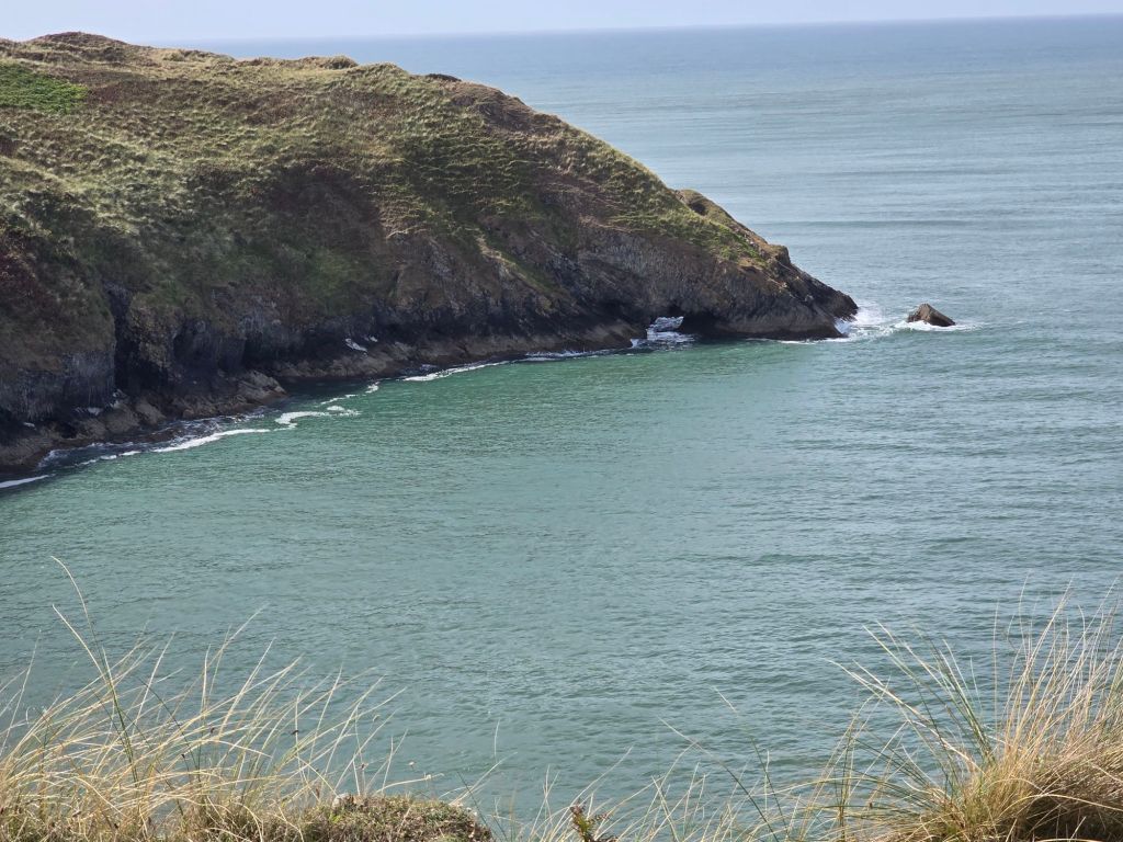
The path worked its way down into Broughton Bay, and I followed the route into a caravan park, I established a touching point in the caravan park – when I turned to walk back on a more inland route. This involved more caravans for a bit and then a section labelled moor on the map but really not very moor like but a good route back to Hillend. I also spotted a car park I intended to use to continue on the trail on Monday at the Broughton end of the caravan park. I had to go all the way down to the beach at Hillend as there was a stream that was only passable across the stones at the top of the beach!. I sat on a log for a second coffee before returning again through the dunes to the car.
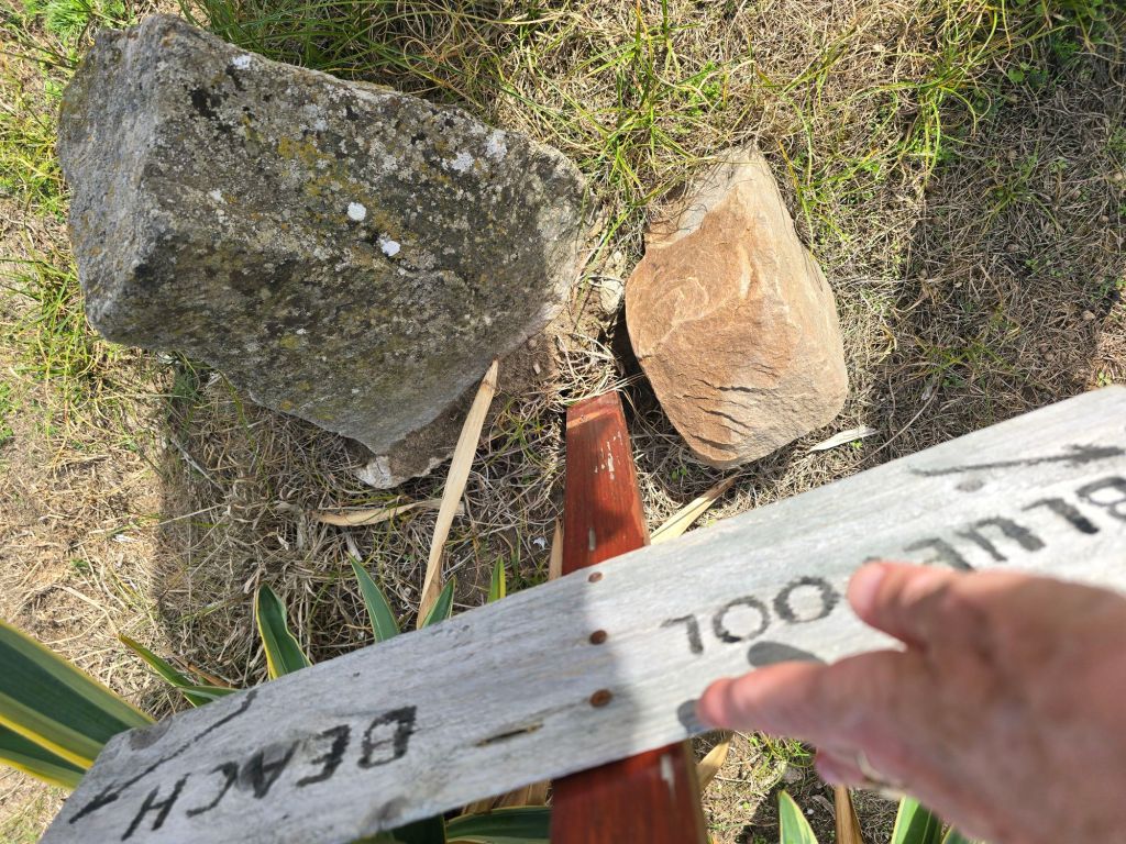
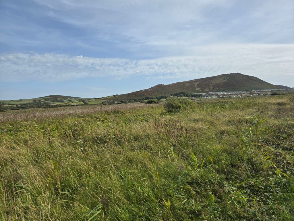
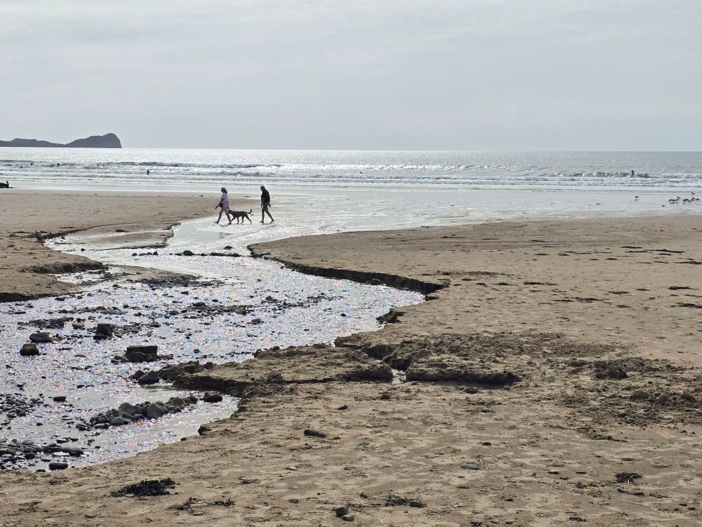
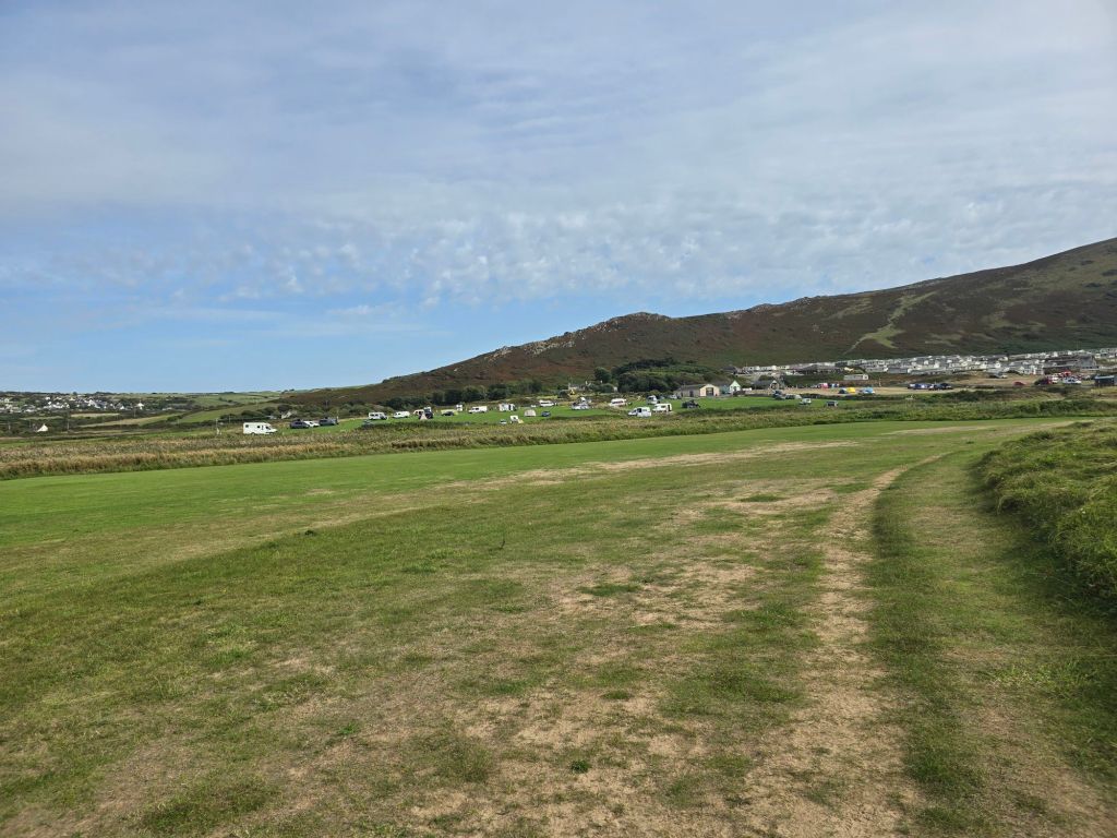
Monday, I tried to get back to the Broughton Caravan park but the road down to it was closed for 3 days, so I had to revise my plan. A helpful lady (whose entrance I was blocking trying to work out what to do) advised going to Llanmadoc (and the presence of a good coffee shop) which was a bit further down – I will have to fill in the gap at some point.
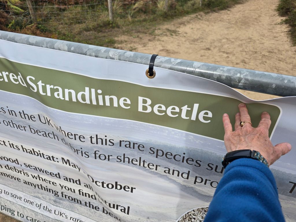
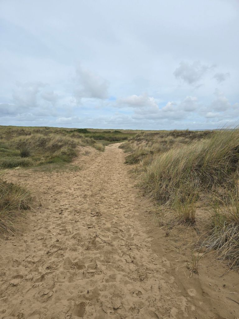
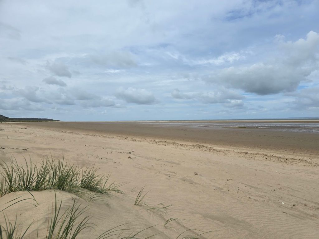
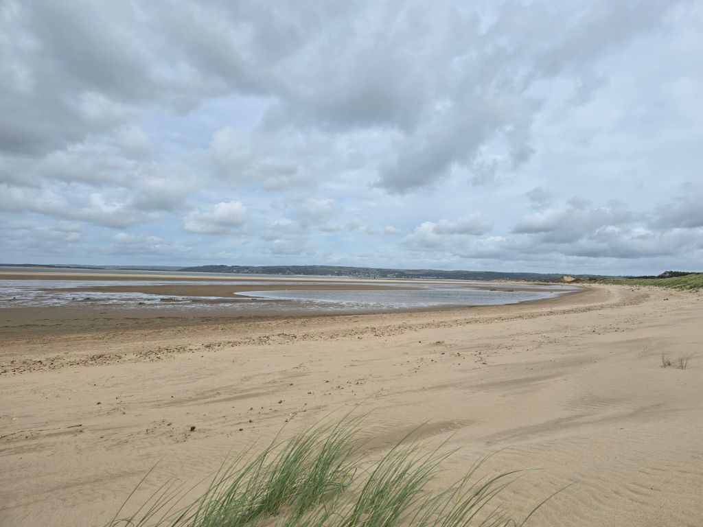
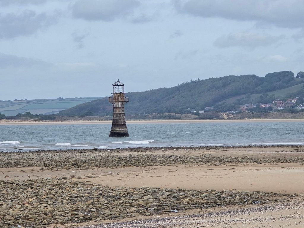
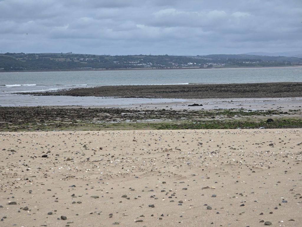
I stopped at Whiteford beach car park and walked down past the good coffee shop and then further down to connect with the coast path. I did two touching points in quick succession depending on how I get back to this point – one by the inland route and one by the path to the beach (advertising the importance of the Strandline beetle). I walked down to the beach on a good but sandy path – and then did a couple of miles on the beach round the headland. The view of the iron lighthouse just off the beach got clearer and clearer and I stopped for a coffee sitting carefully in the dunes. I did not want a repeat of the maram grass in the eye issue I had at the lovely Walberswick last year! The coffee was disturbed by the RAF doing exercises.
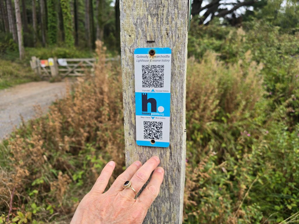
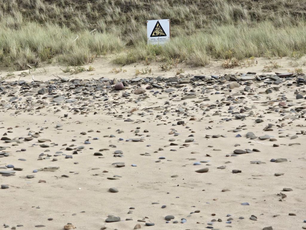
At the end there was a sign about explosion risk (at least I think it is) – I couldn’t read the English and did not want to go closer and my Welsh isn’t very good. I wandered around the end of the point, and then found the path back through the woods overlooking the large area of salt marsh. I was quite careful at this point as there had been an adder warning and the path got rather indistinct and overgrown.
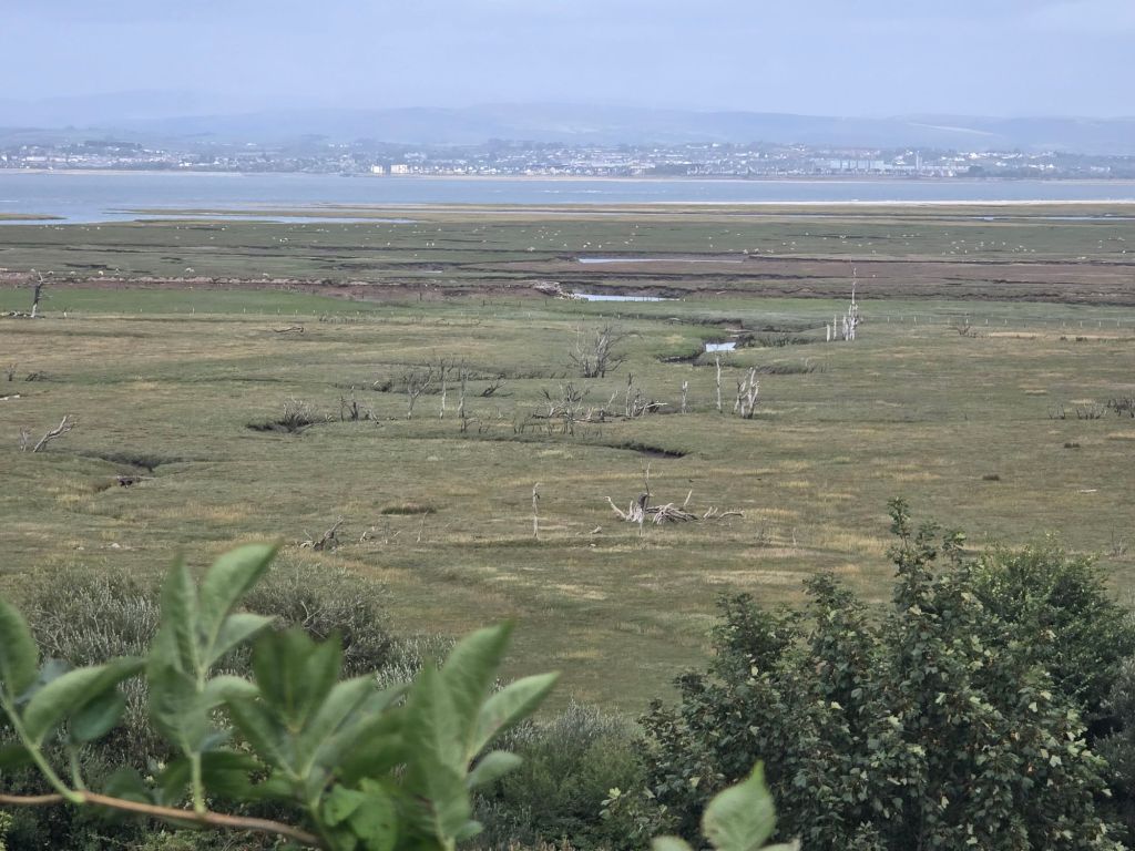
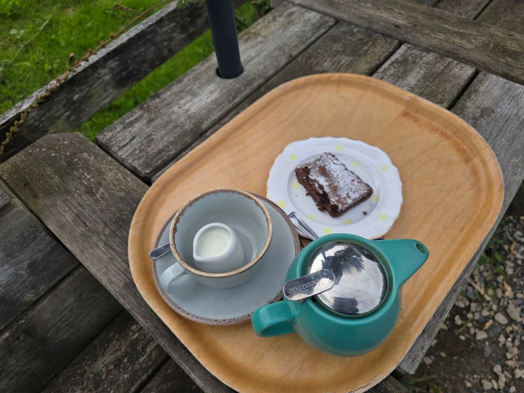
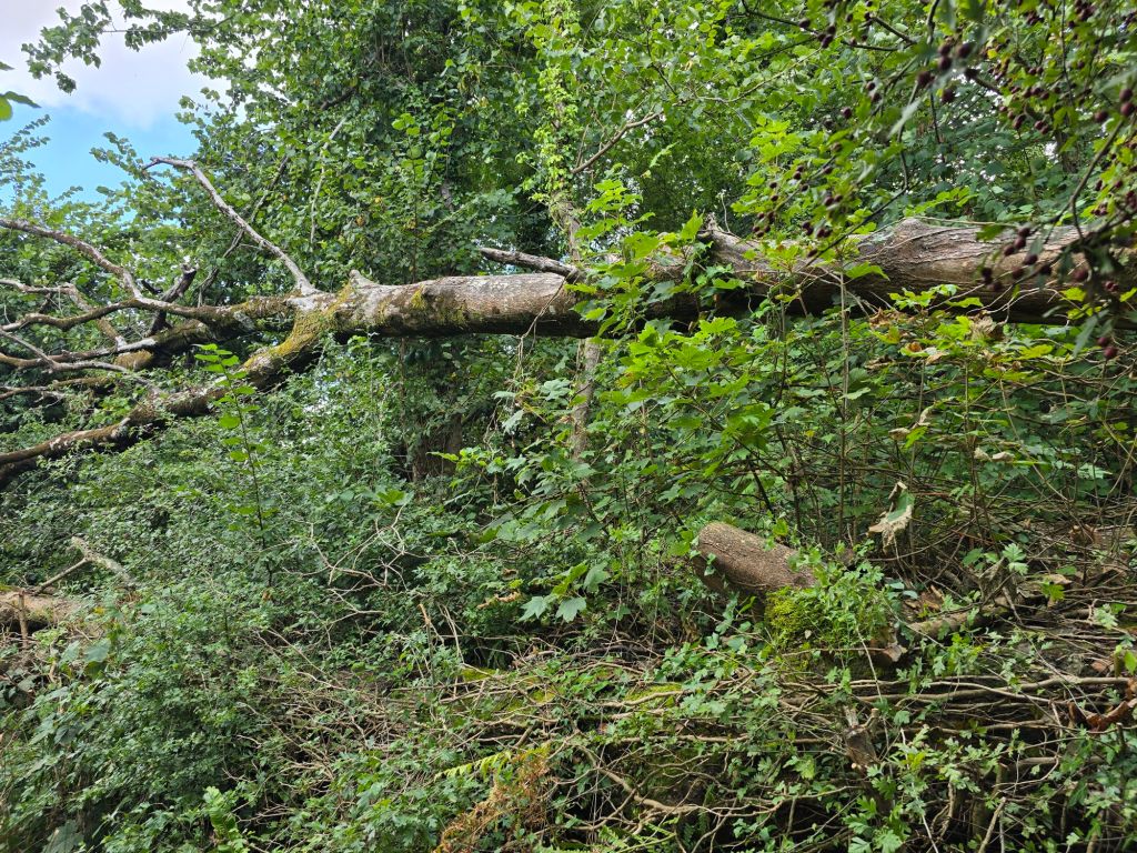
About 1/3 of the way back the path improved. I stopped on yet another log for a coffee, and had a long chat about the coast path with some passing walkers! This was right by a part of the coast path which was closed (and clearly marked this time!). I had been aware there was a problem (and it was a shame as that part of the path went through the saltmarsh but it has been damaged for more than 10 years). On the approach you could see the big gap in the path and the section that would have required swimming or wading! The saltmarsh was quite dramatic especially the section with the ‘skeleton’ trees and this area seems to be very blighted too by ash die back. I carried on back to my first touching post and then realised the lane back up the car was on the coast path diversion so I carried on tracking ‘on trail’ steps. I was in good time to have an afternoon tea with a delicious chocolate brownie in the recommended café. It was a café with a fabulous view.
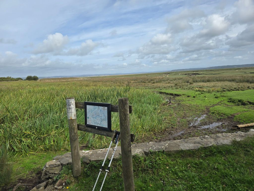
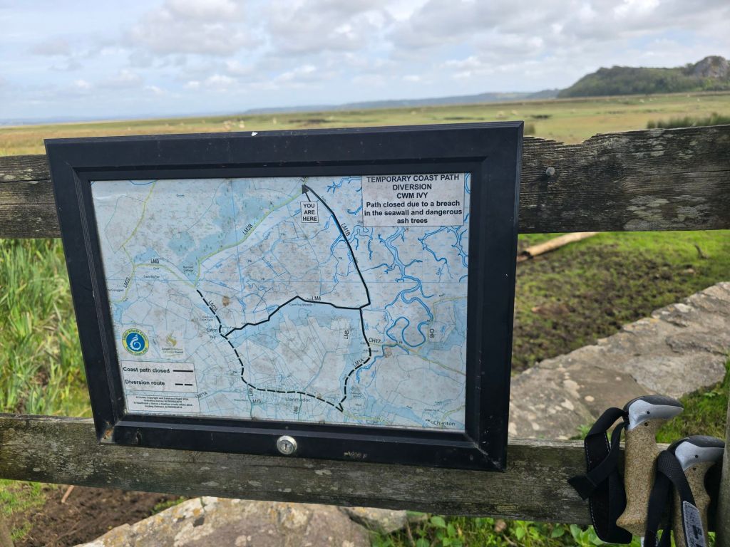
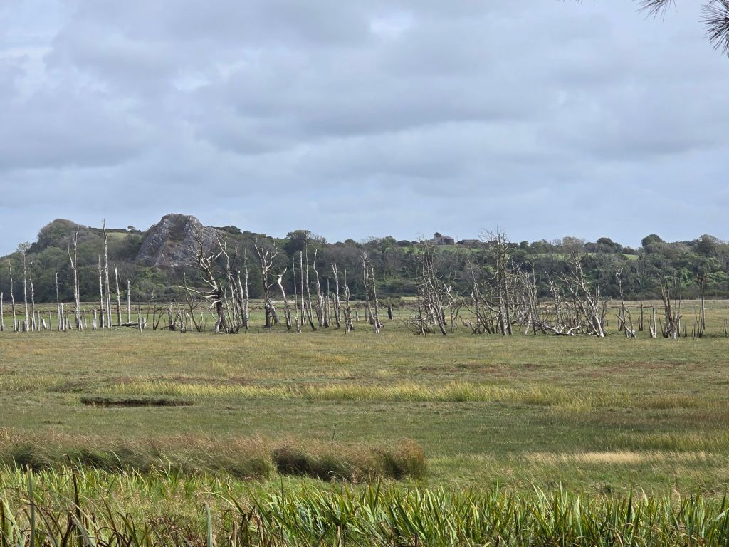
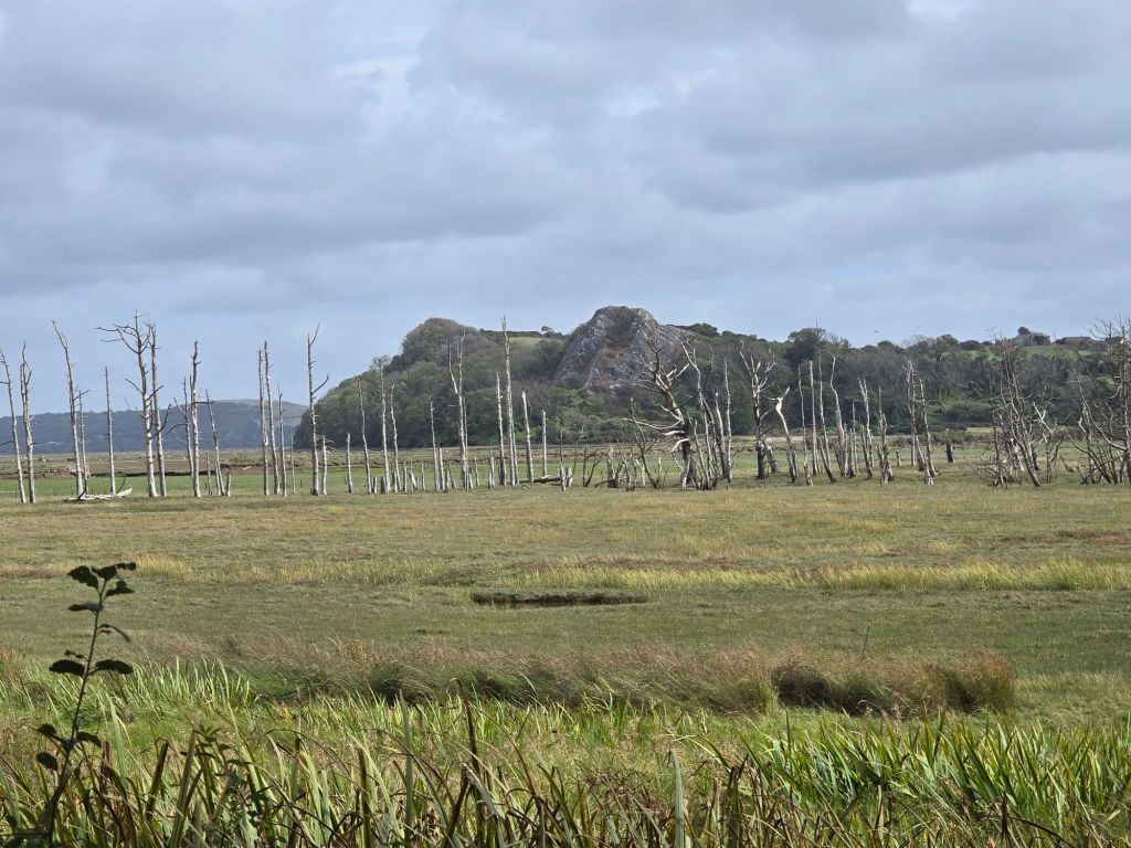
I did the stiff climb back up to the car park and set up another touching point on the wall.
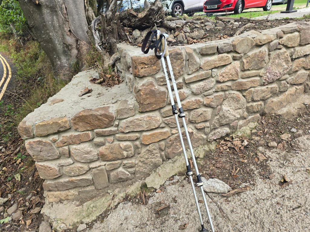
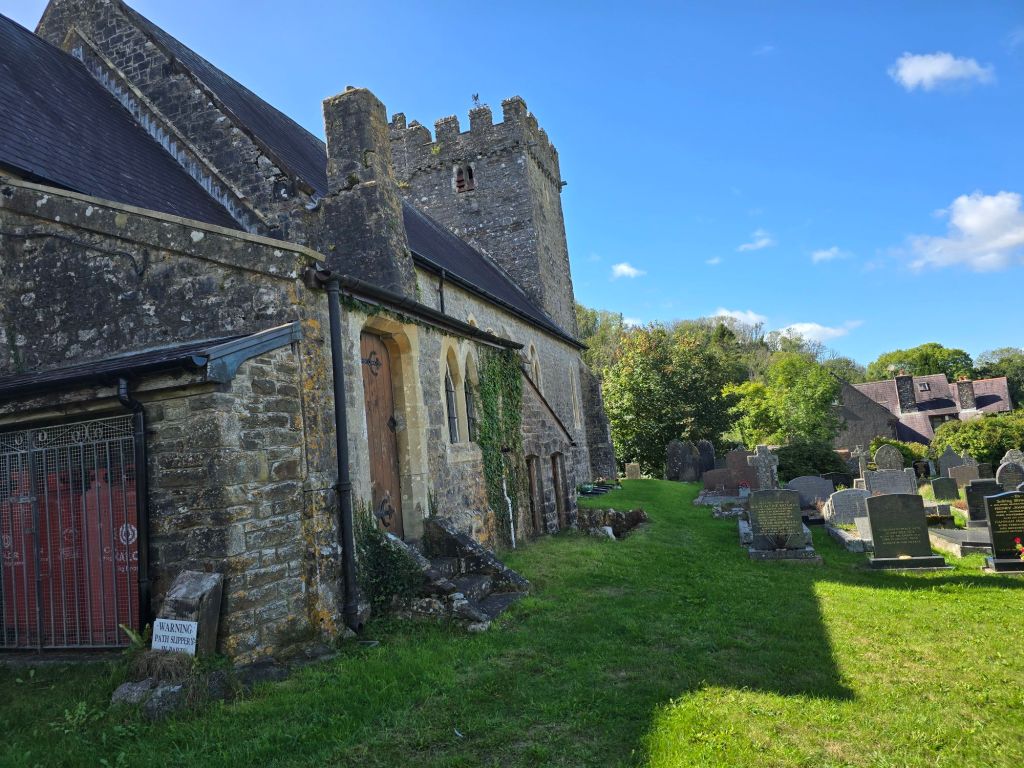
On Tuesday I returned to Llanmadoc, and the Whiteford beach car park and I reconnected with the touching point on the entrance wall. I did a short stretch up the hill, and popped inside Llanmadoc church – which had a seriously good view over the marsh!
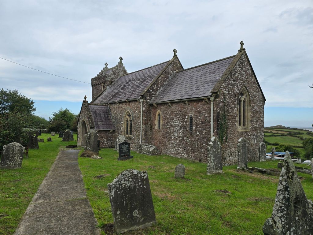
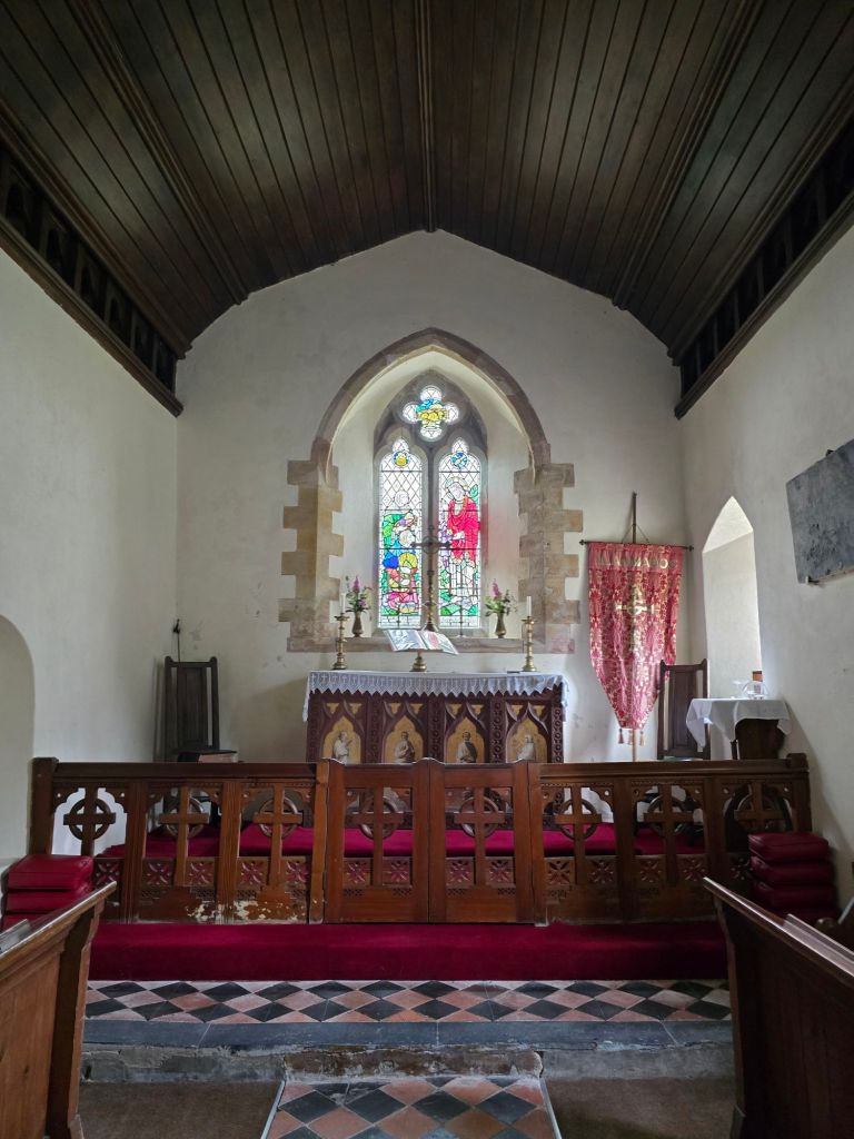
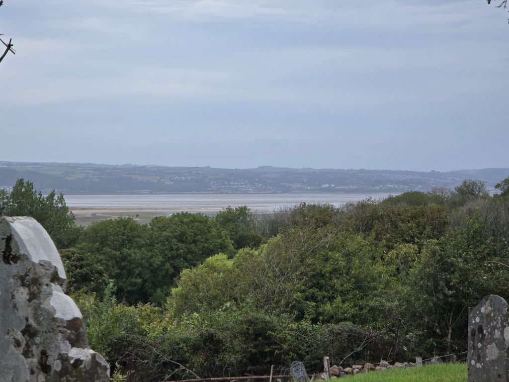
I followed the diversion through Llanmadoc on the road and into Cheriton. I stopped in Cheriton Church briefly, before heading uphill to a more rural path through fields to get to the edge of the saltmarsh. As it had rained heavily overnight it was a bit soggy and muddy in places, especially at the start. When I had got to the saltmarsh – I helped another couple who were a bit lost (and explained about the long path diversion). I stopped by a bridge for a breather and some coffee!
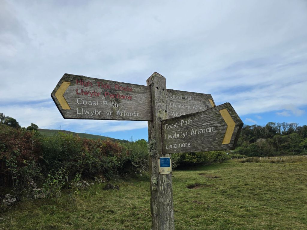
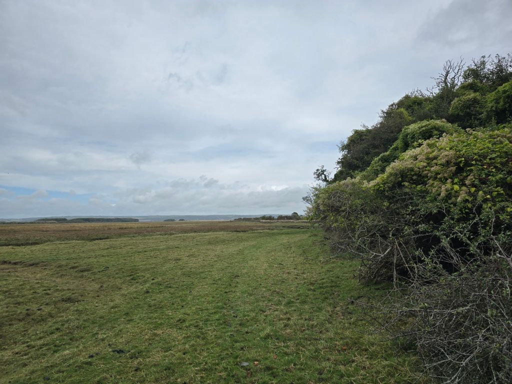
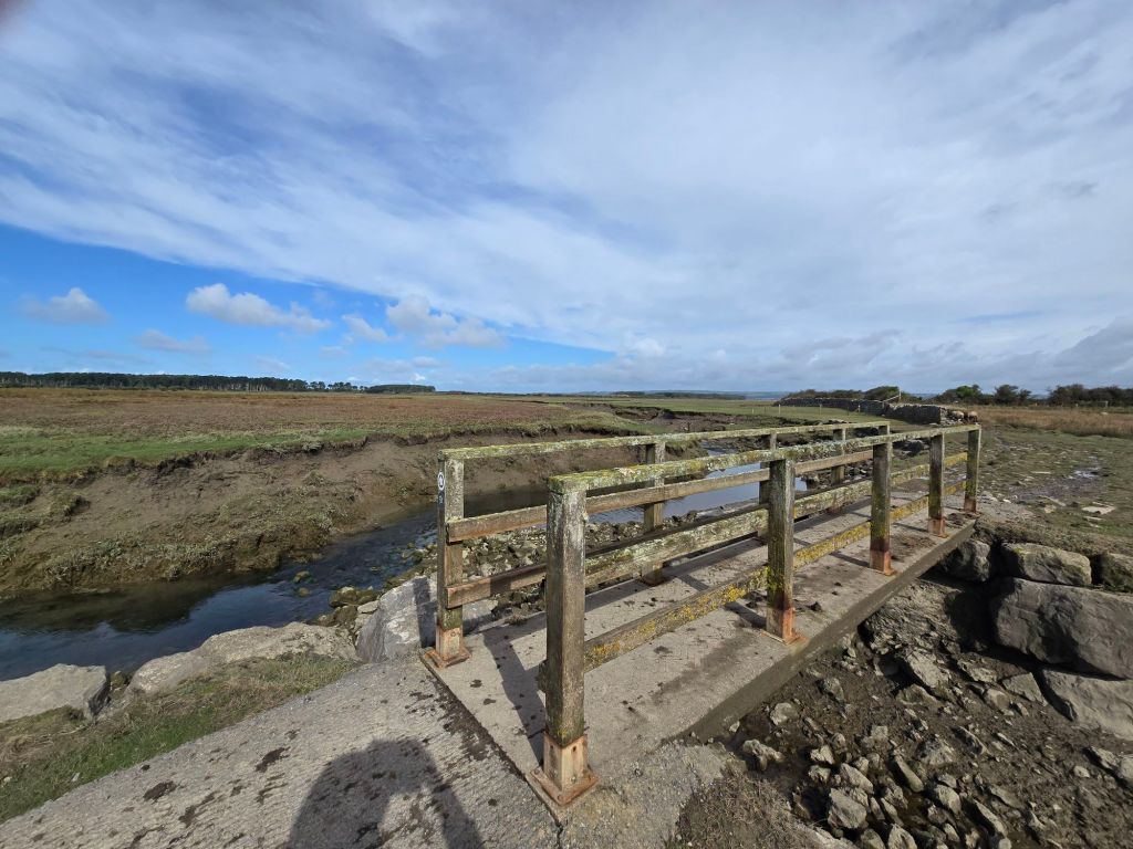
The next mile of so was very remote and wild with a long expanse of salt marsh. Eventually I ended up by some nice looking holiday lodges near Landimore and availed myself of an available bench
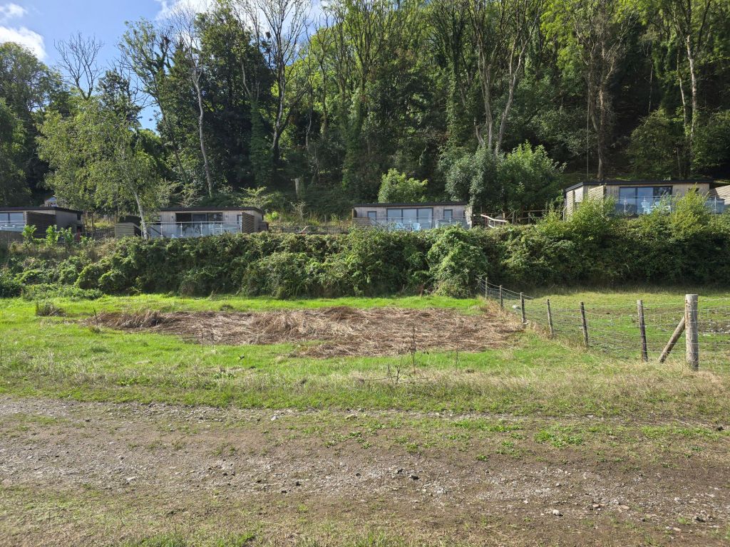
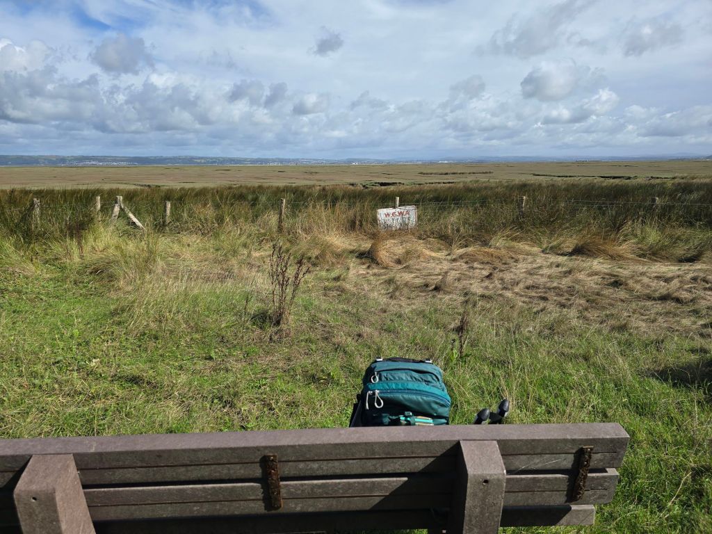
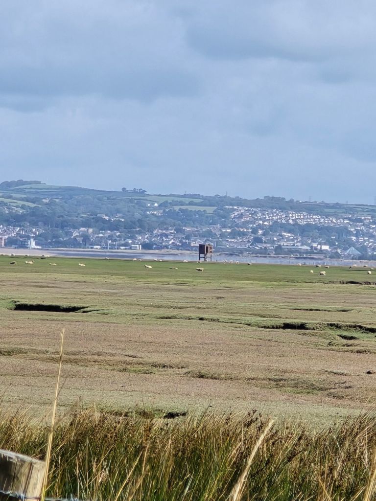
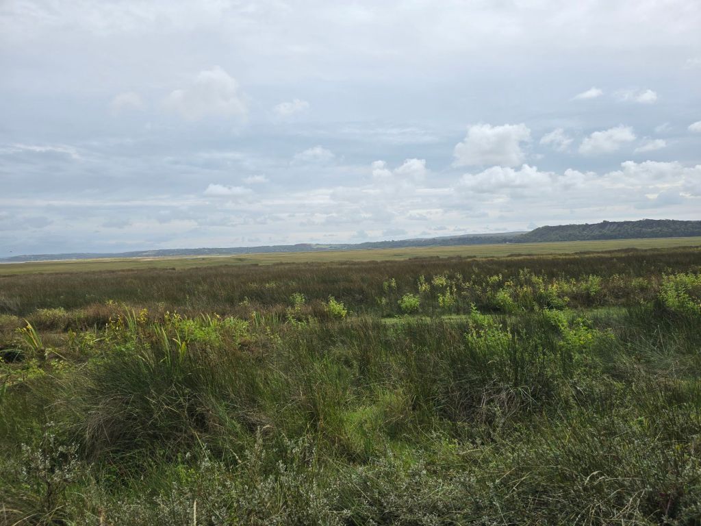
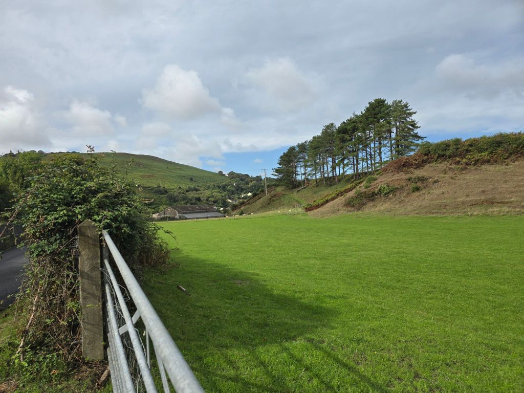
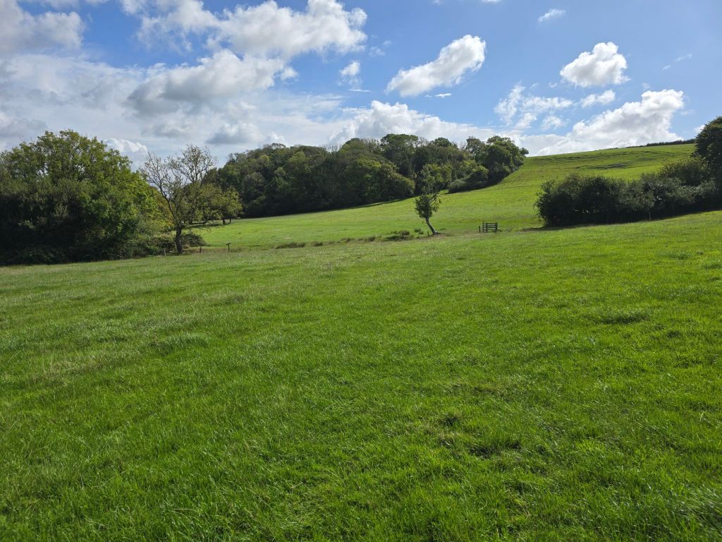
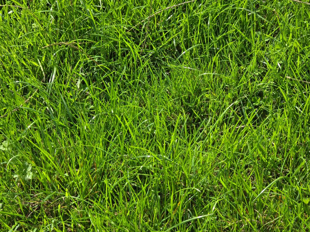
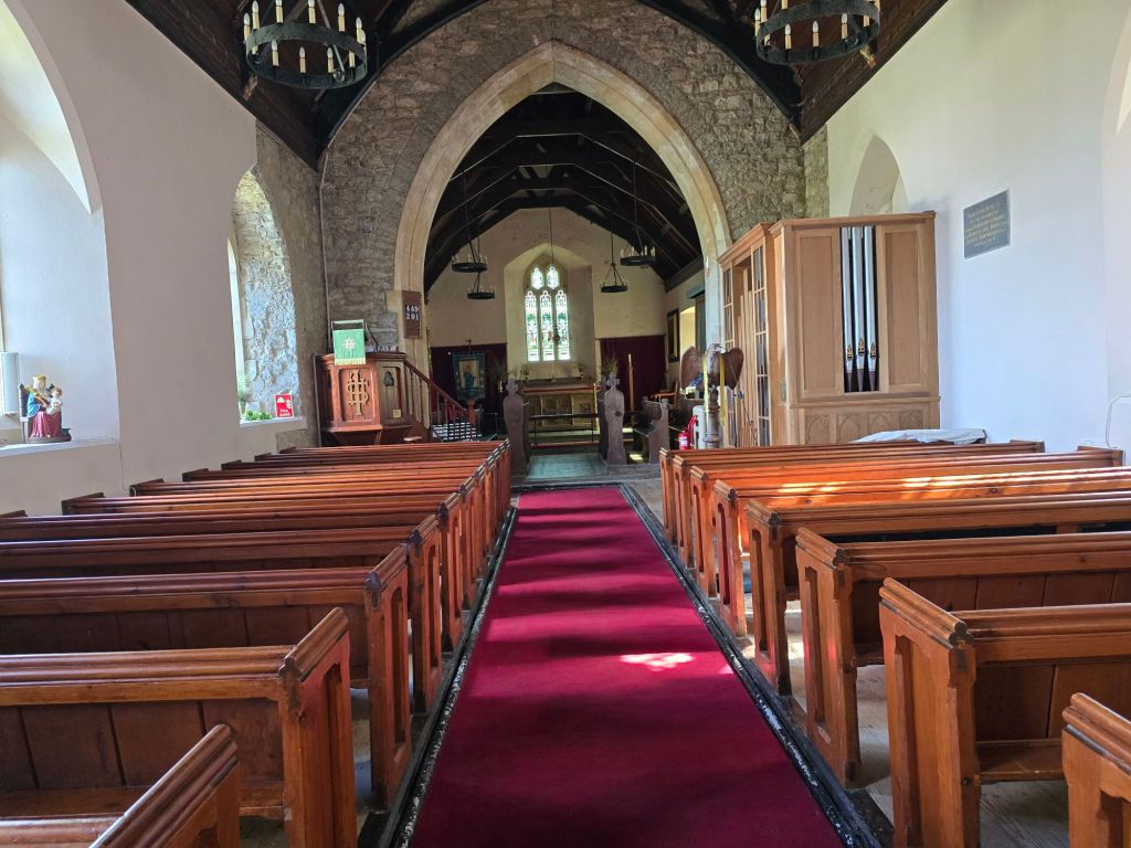
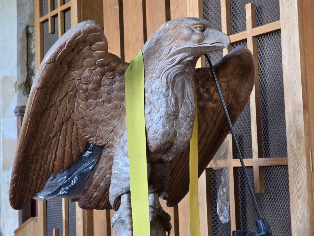
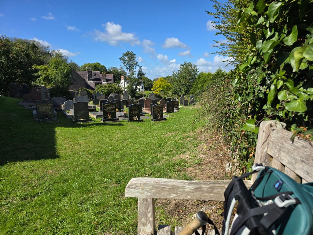
After this the path wound through fields and woodland just above the saltmarsh, and it was lush and green (I include a picture of the grass in case you have forgotten what that can be like!). I didn’t find anywhere suitable to stop, so eventually ate most of my lunch after a visit to Llanrhidian church, on bumper’s bench in the church yard. Part way through lunch, I moved to one about 300 yards away as there was a wasp problem! Inside the church there was a particularly scary looking eagle lectern! The second bench had a much better view over the estuary and saltmarsh.
I eventually walked up to where I hoped to get a bus. After a long wait, I realised the 115 just wasn’t coming – I need to work out why that happened. Both the bus app and google had it on the timetable but I am not sure that is right!. So I resorted to an Uber to get back to where the car was. From this point on it is all not so remote so the bus links should be more reliable and I did see several going in that direction rather than the way I wanted.

