Mist, a toad and the Cleddau Bridge

Marloes Mere to Dale (circuit) – June 12th 2023

Off trail STEPS  8,137          3.79miles,               On trail STEPS 6554            3.01 miles

TOTAL 14,697 steps            6.8 Miles

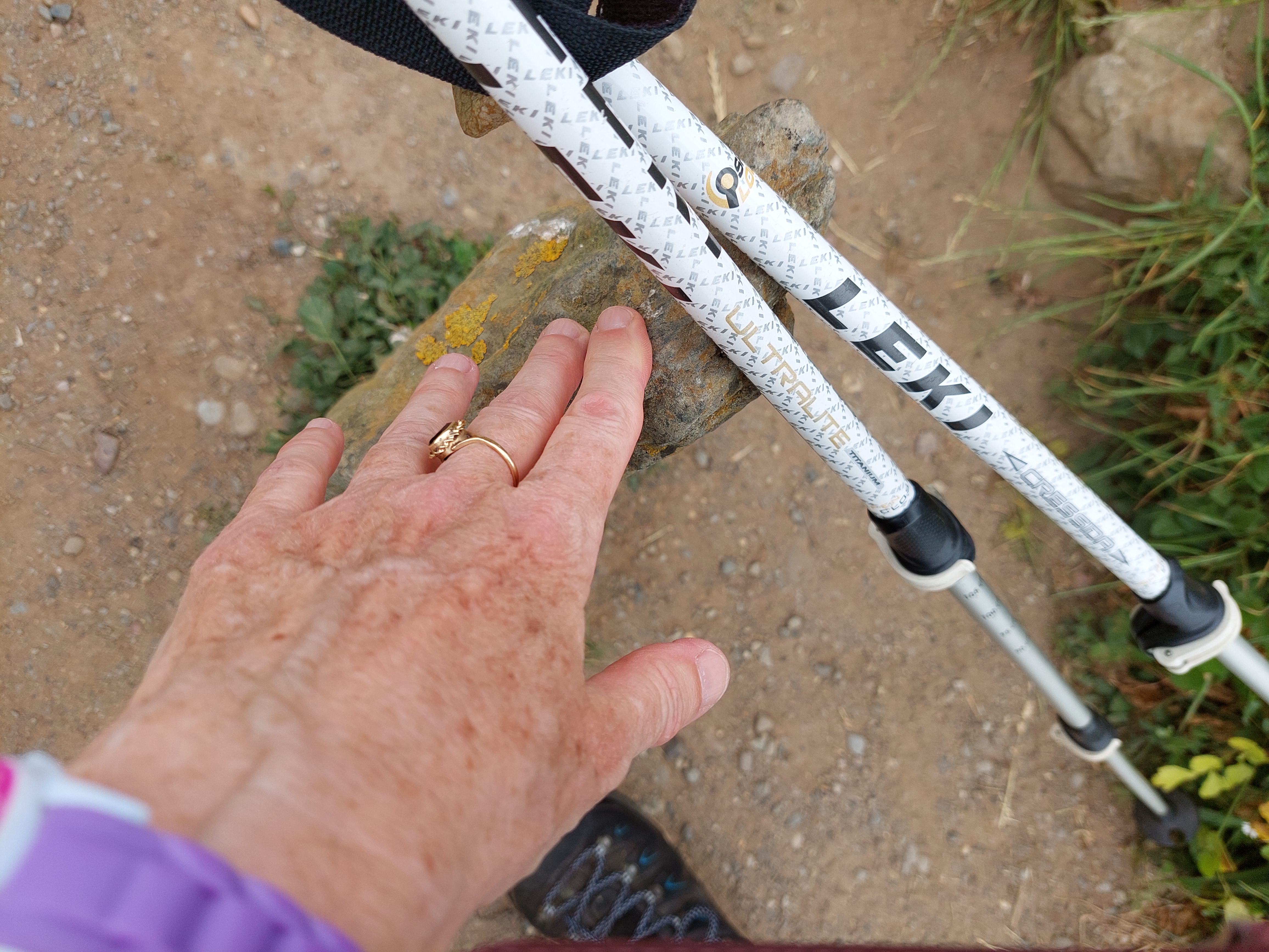
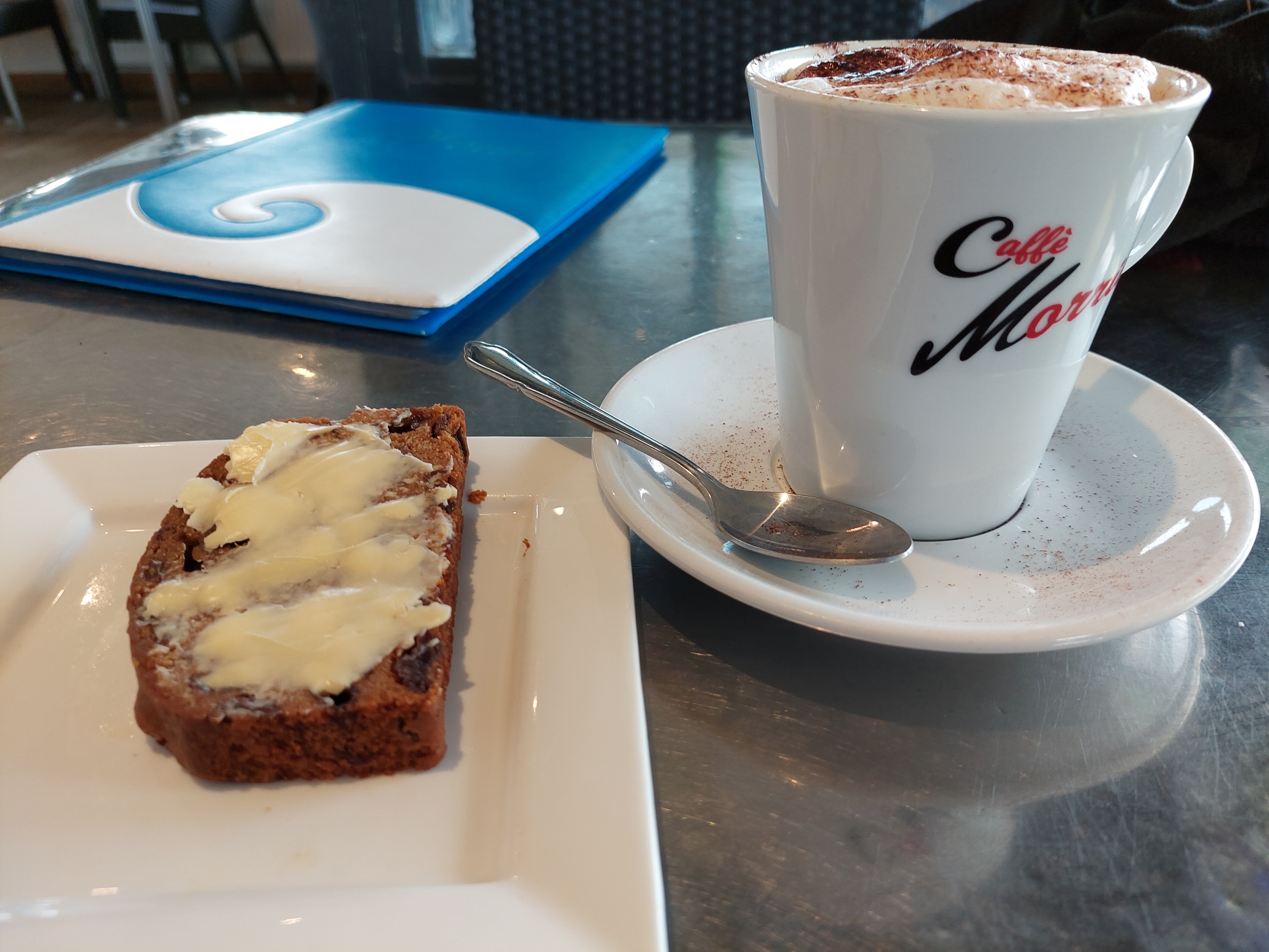
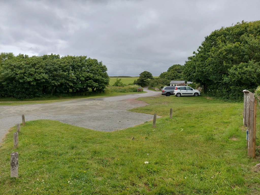
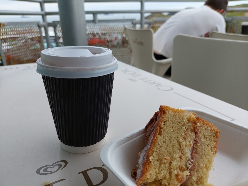
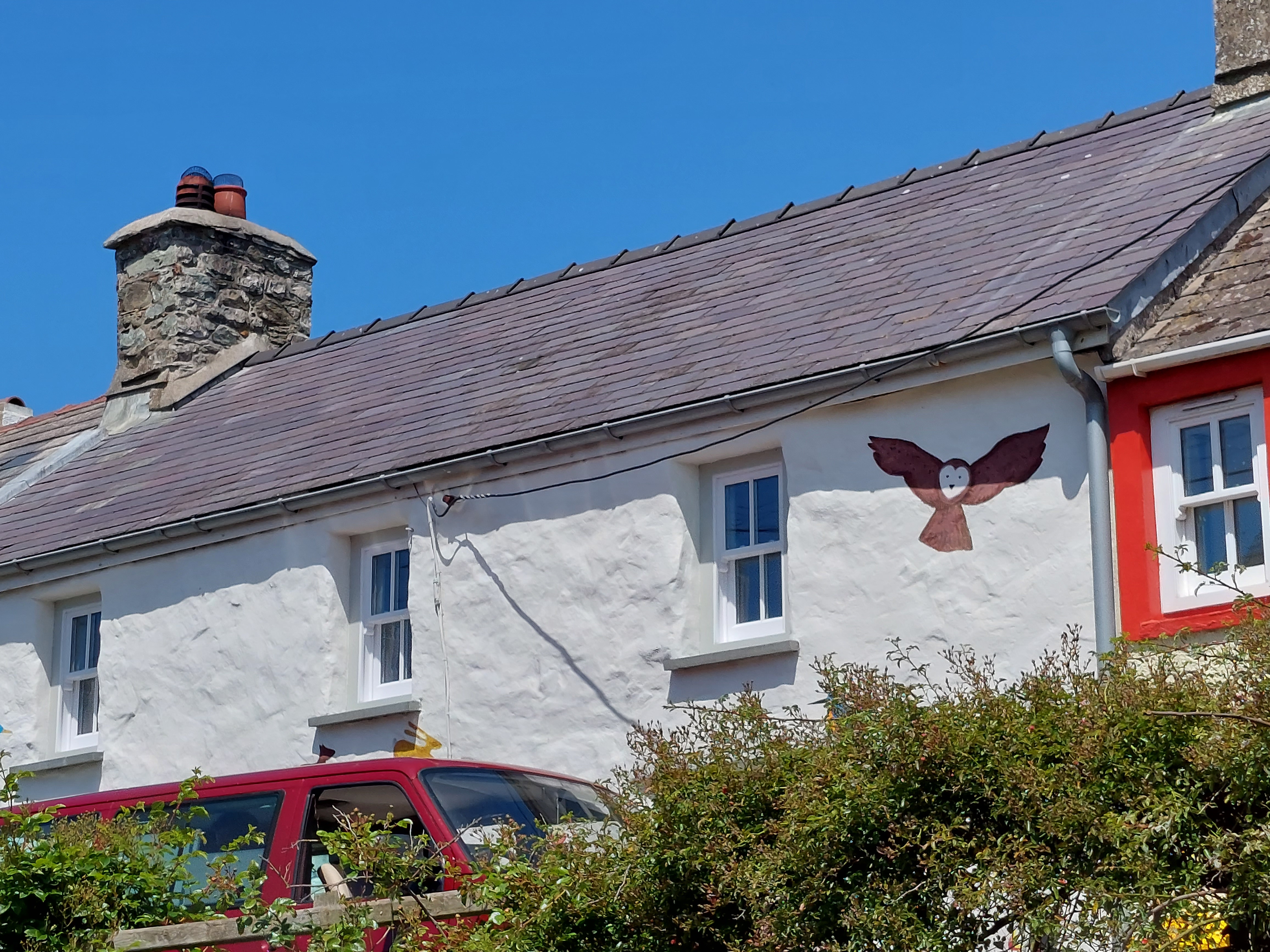
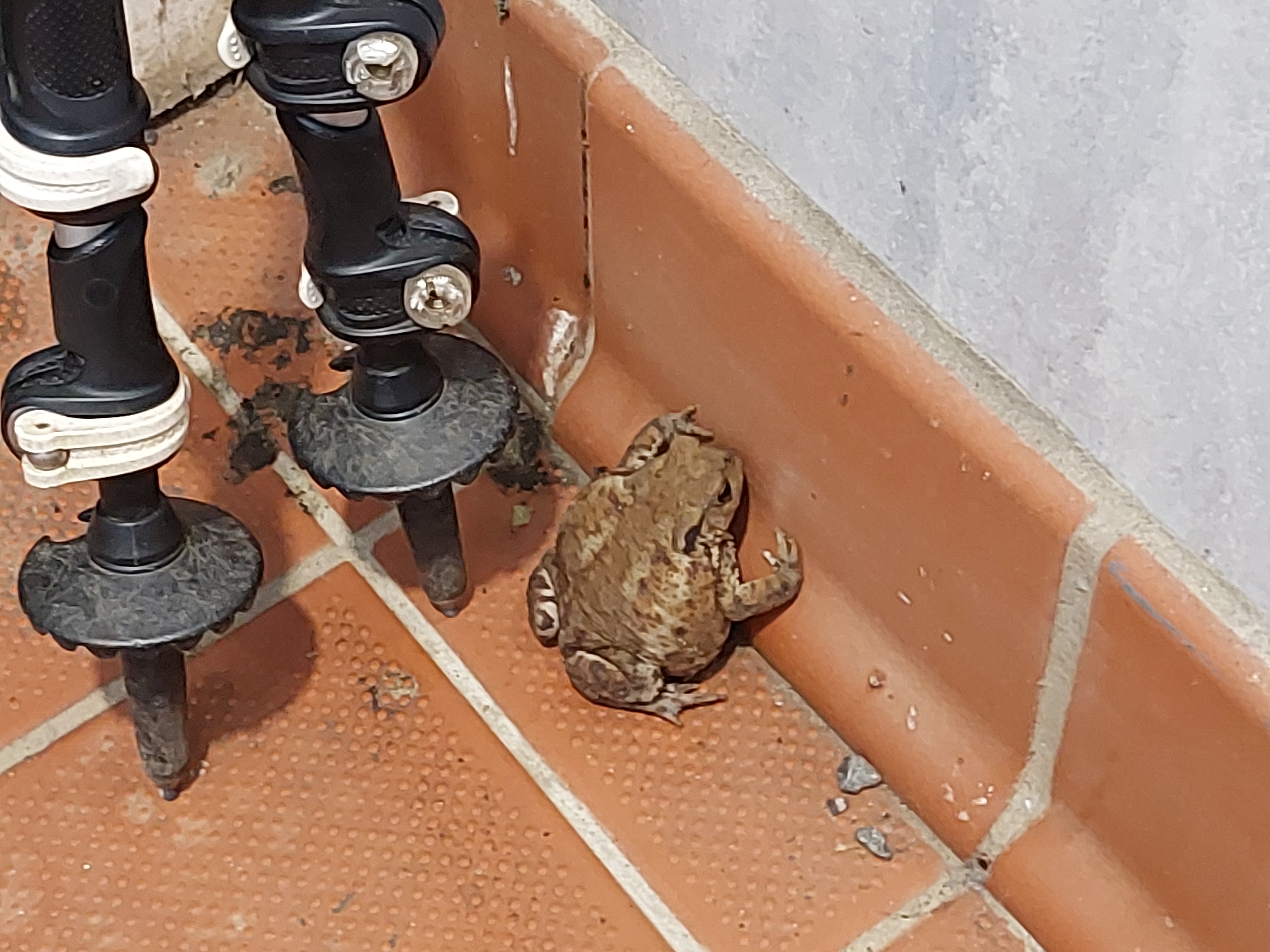
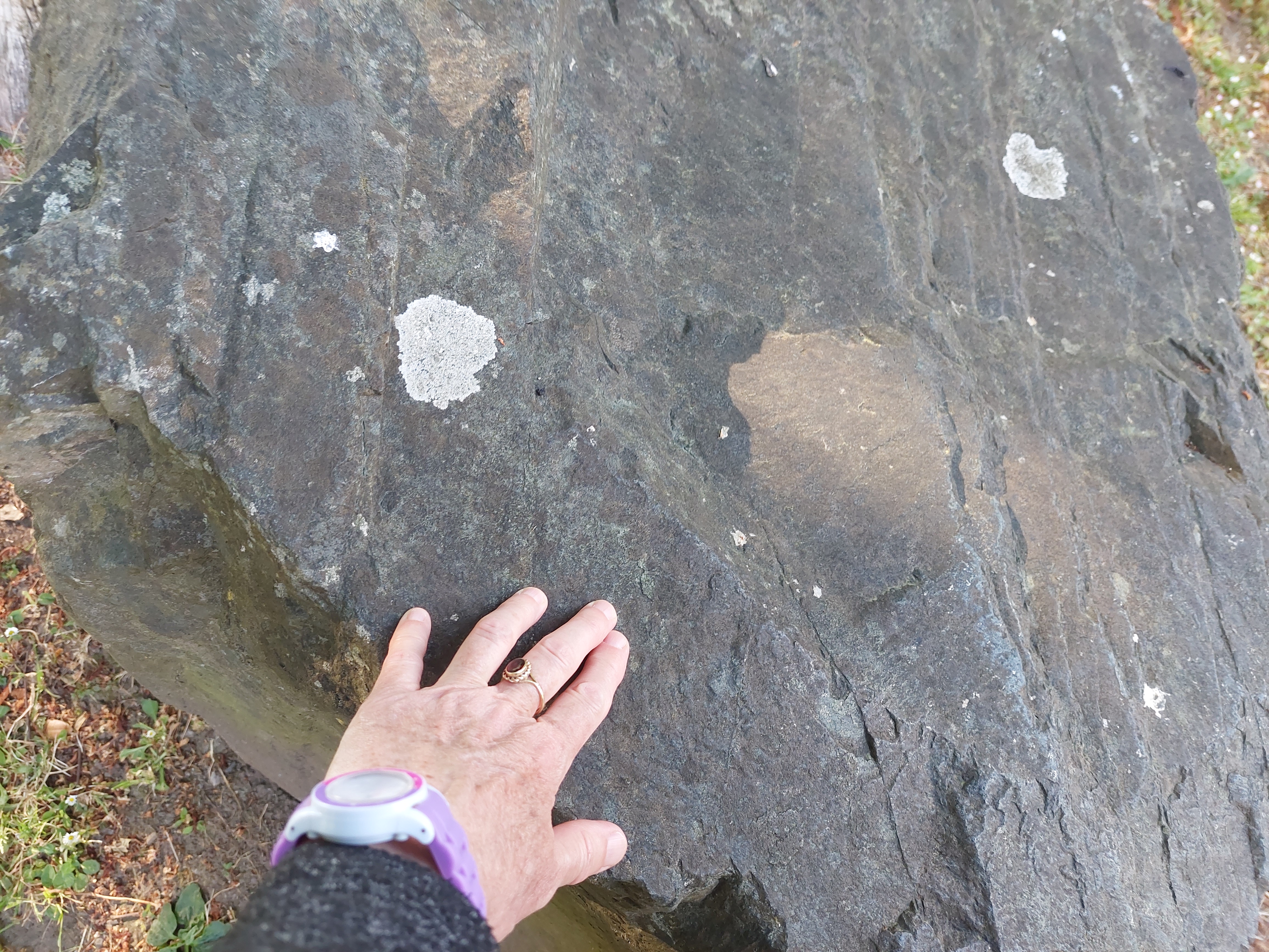
Another long drive out to the car park I had seen near the café on the inland cut yesterday. Timed my arrival too so the café at Runwayskiln would be open. There was a bit of palaver getting the coffee, as the owner who was serving was working in an area he didn’t usually. So there was difficulty getting the coffee and then working the till. I was given a very good complementary bakewell tart, which I enjoyed (eventually) sitting in a converted pig sty. I used the facilities and was abit shocked to see a large toad (which I nearly speared with my walking poles) which was lurking behind the cubicle door.

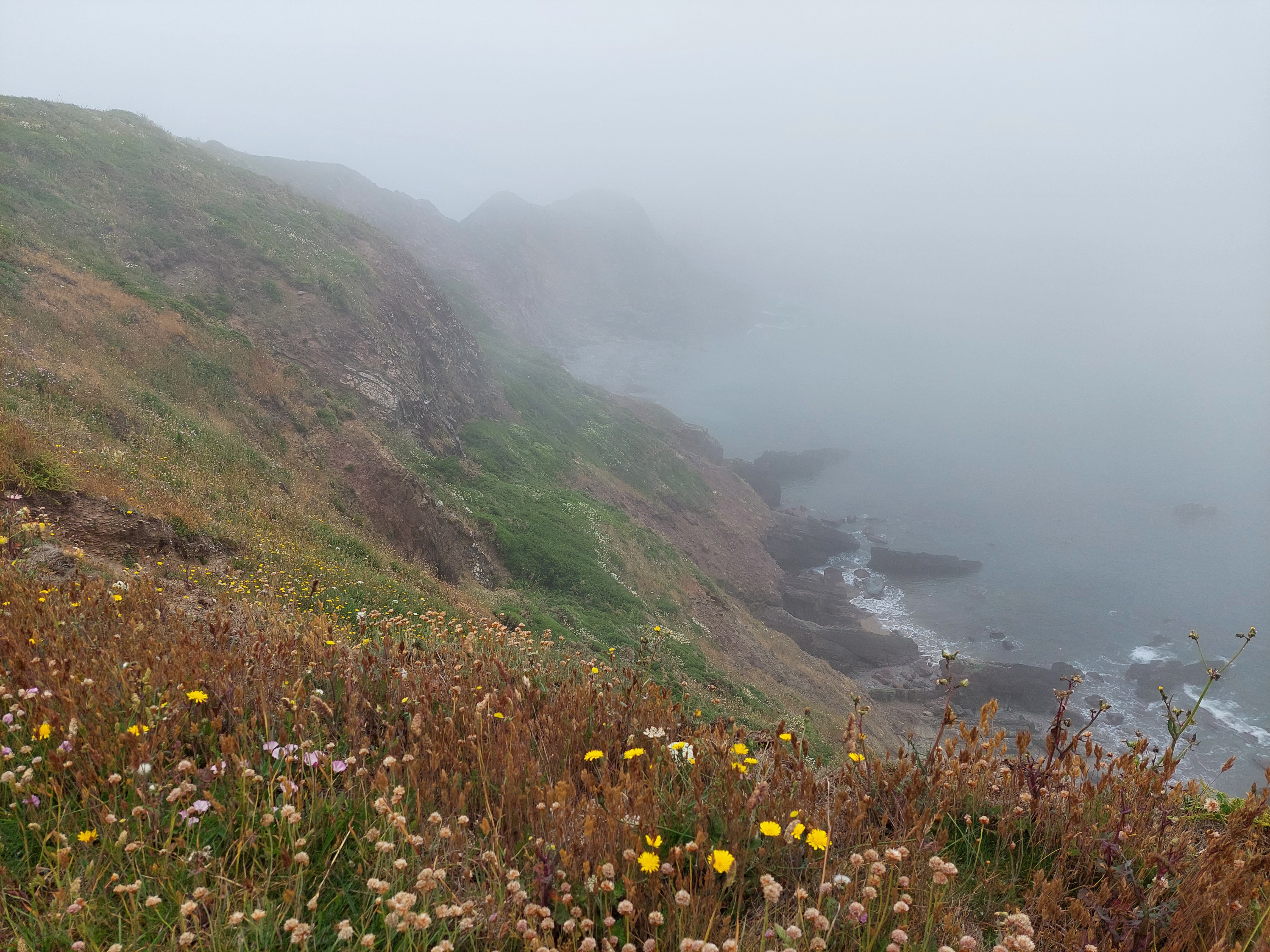
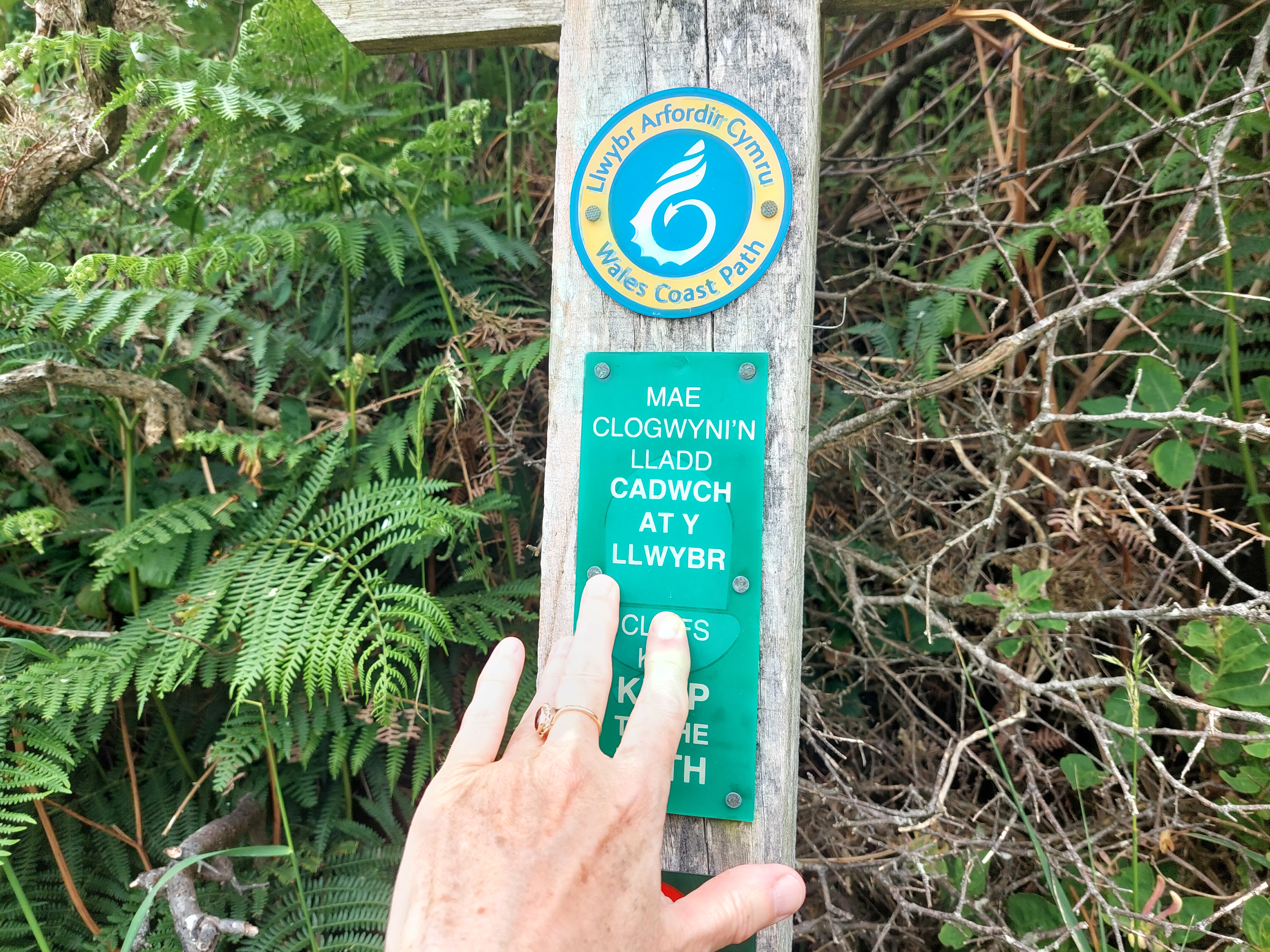
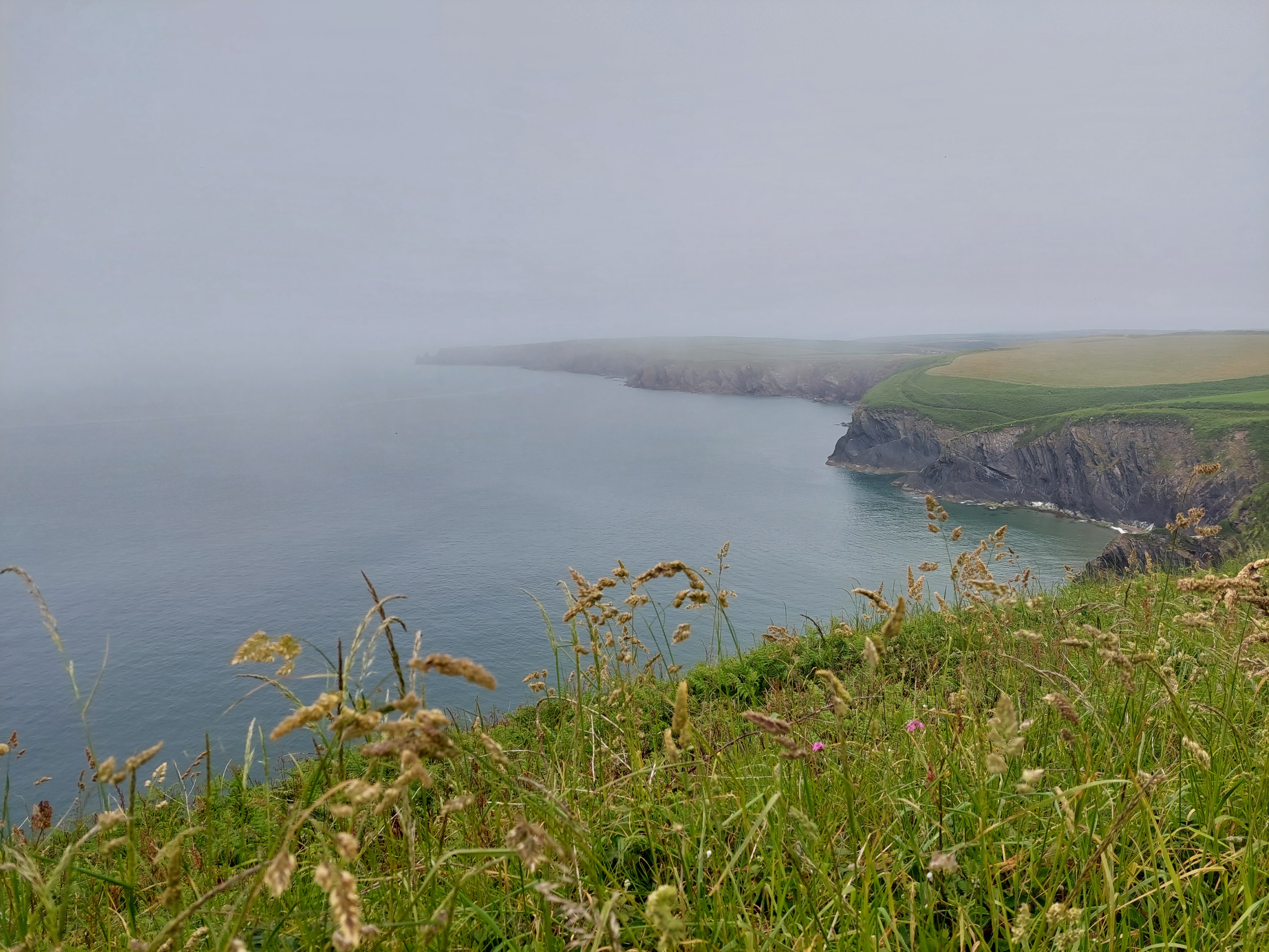
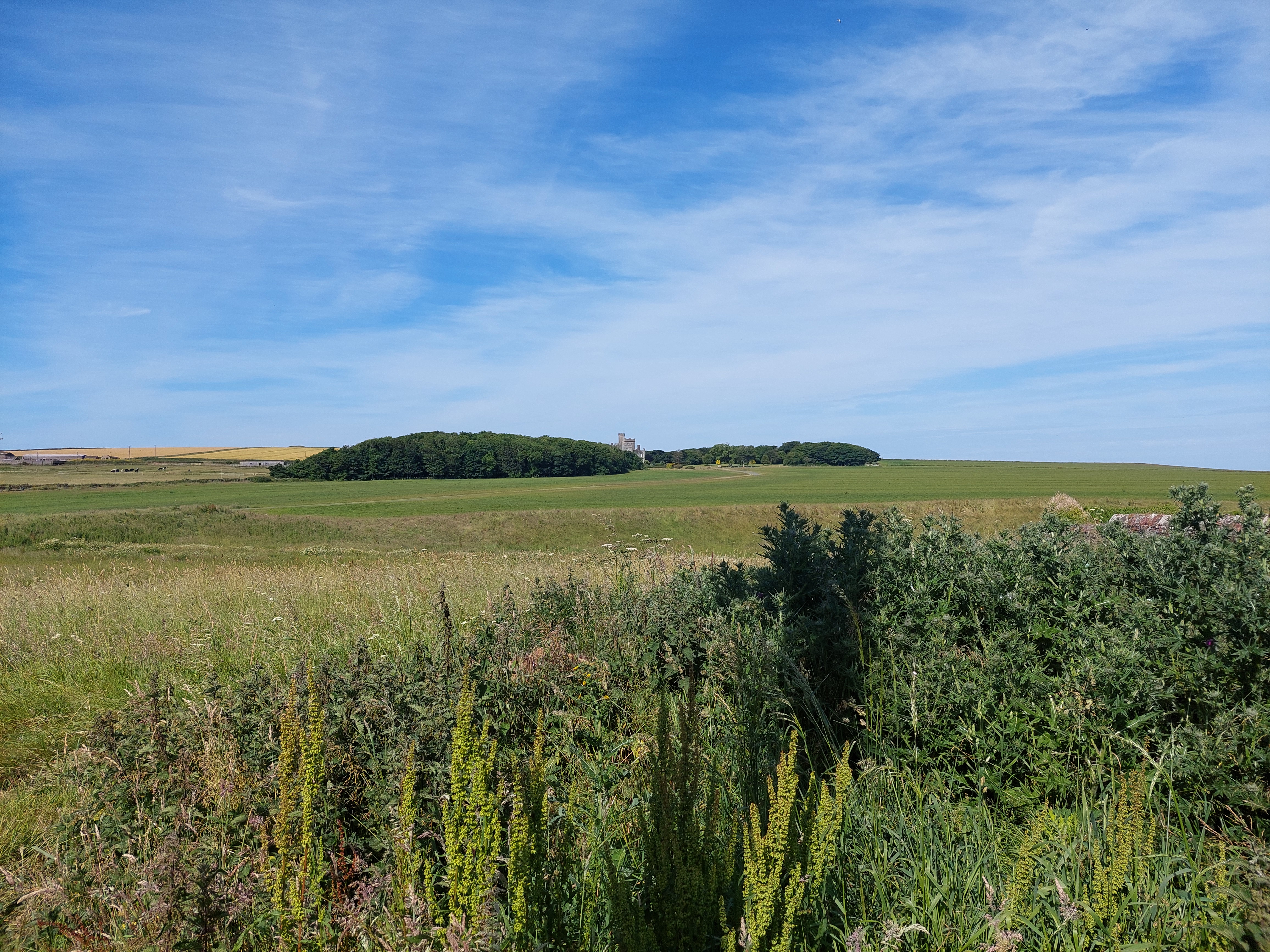
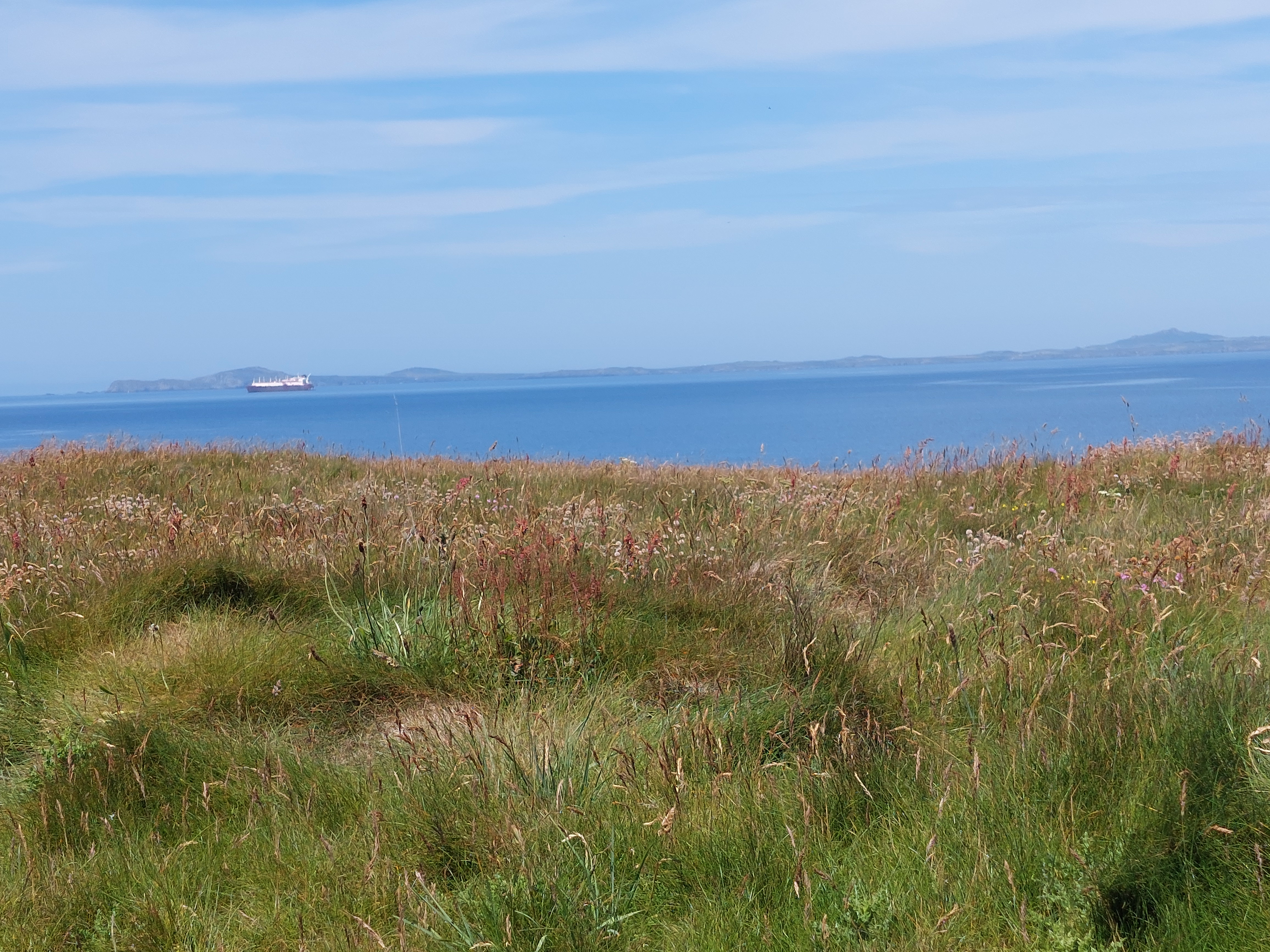
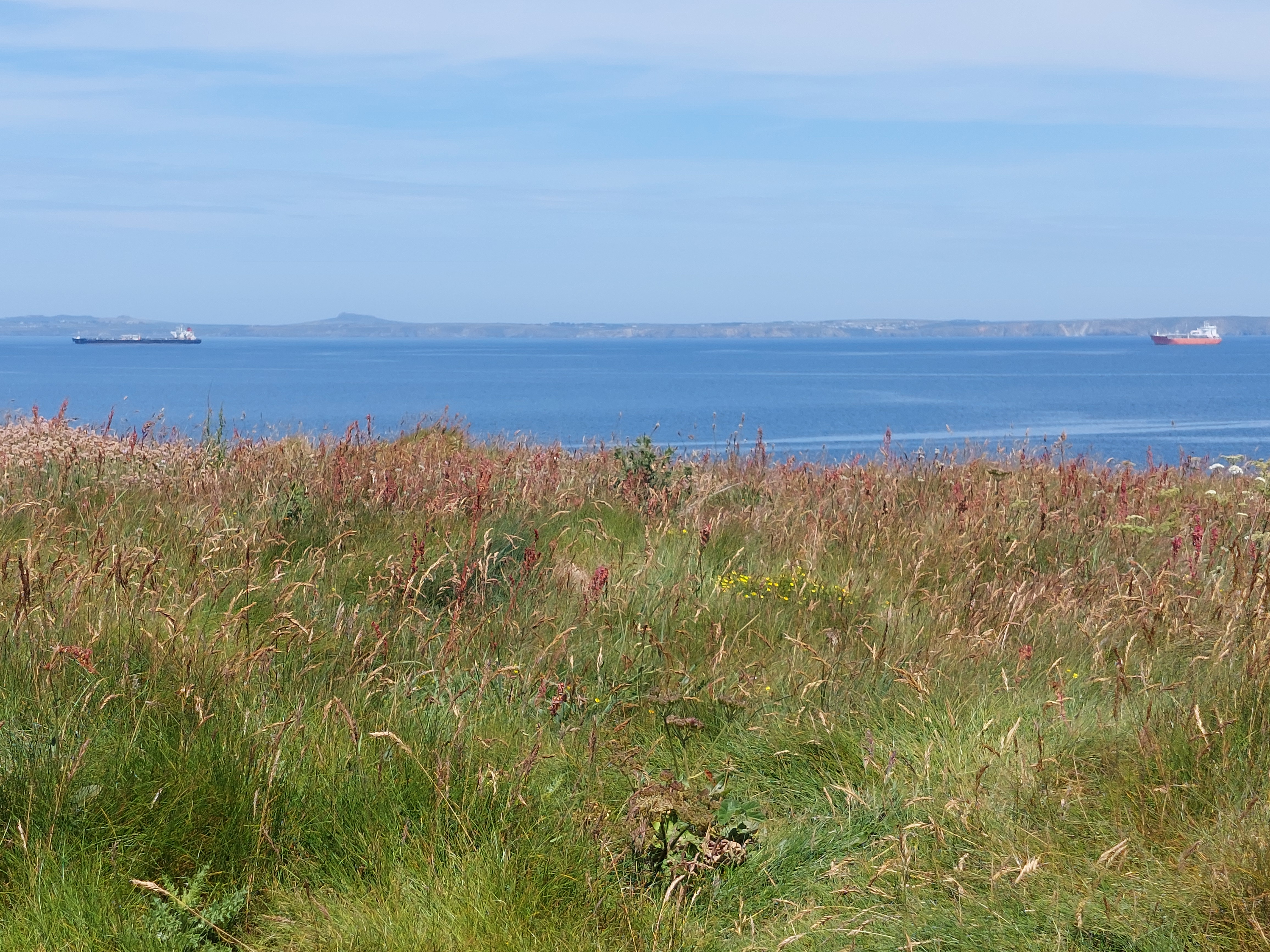
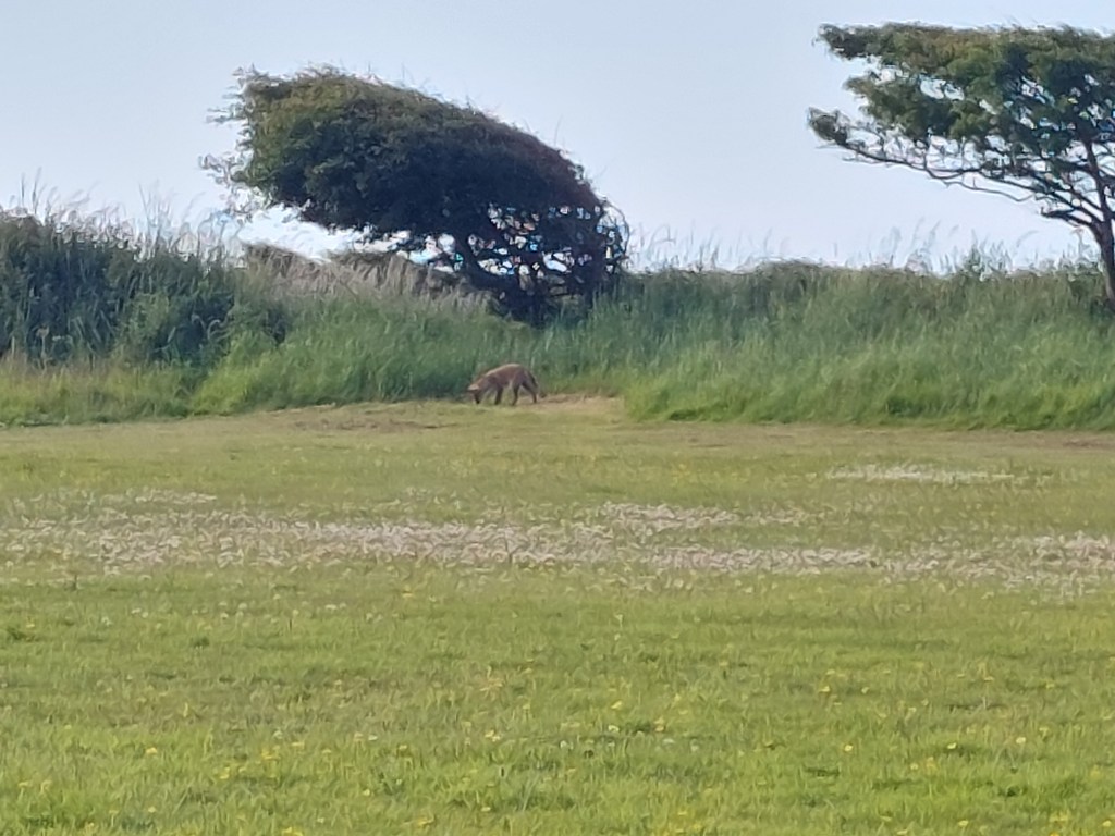
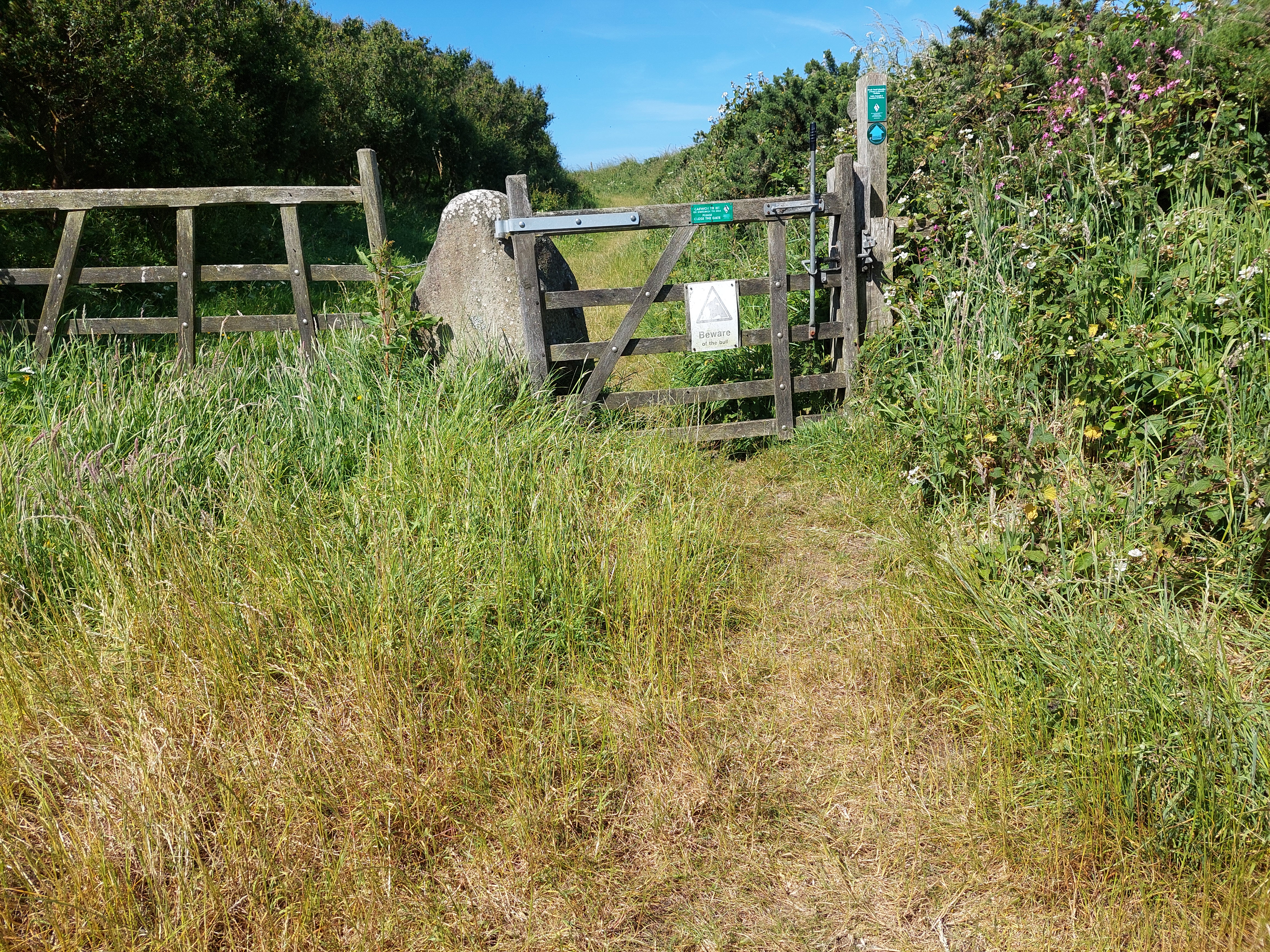
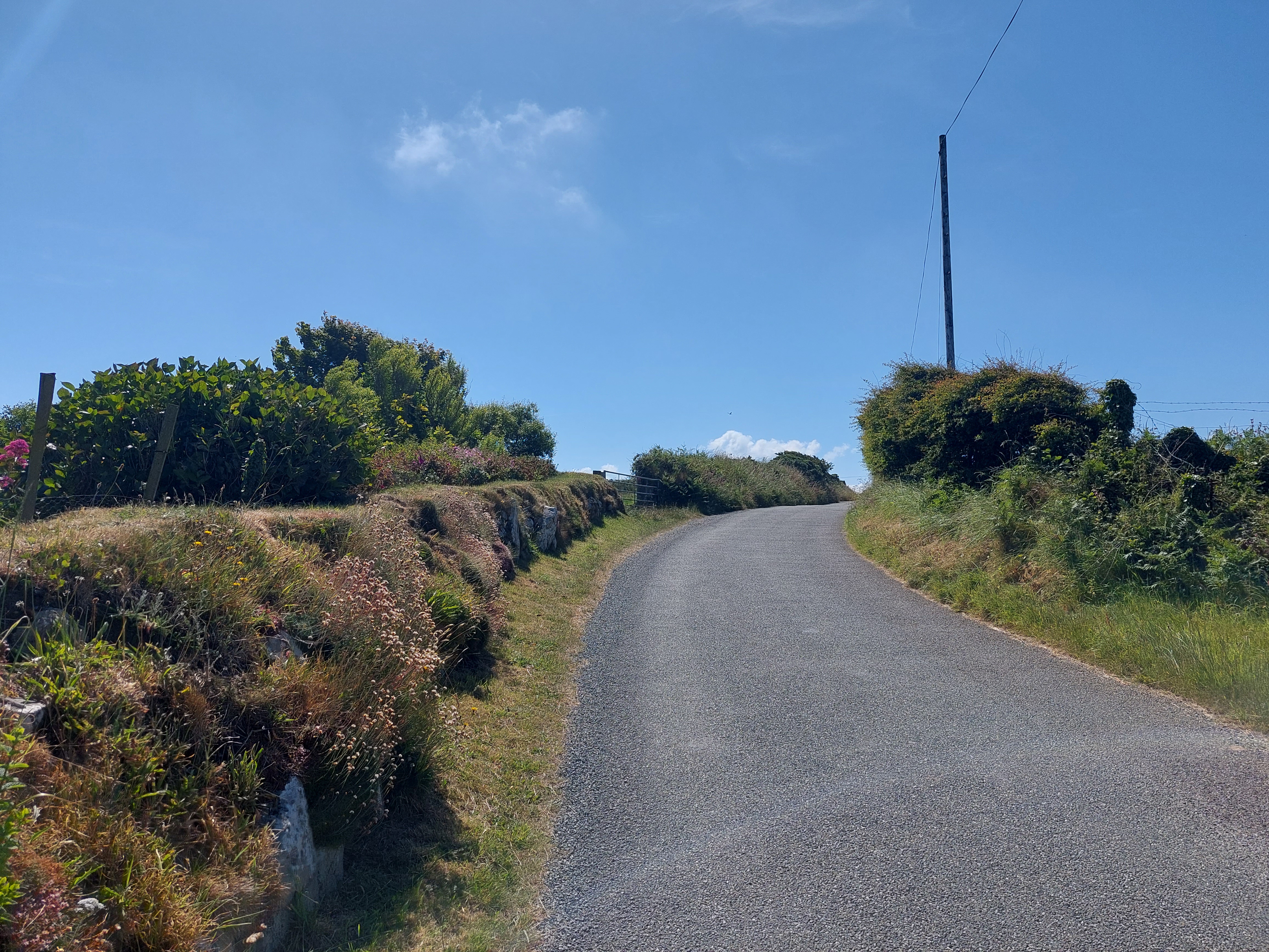
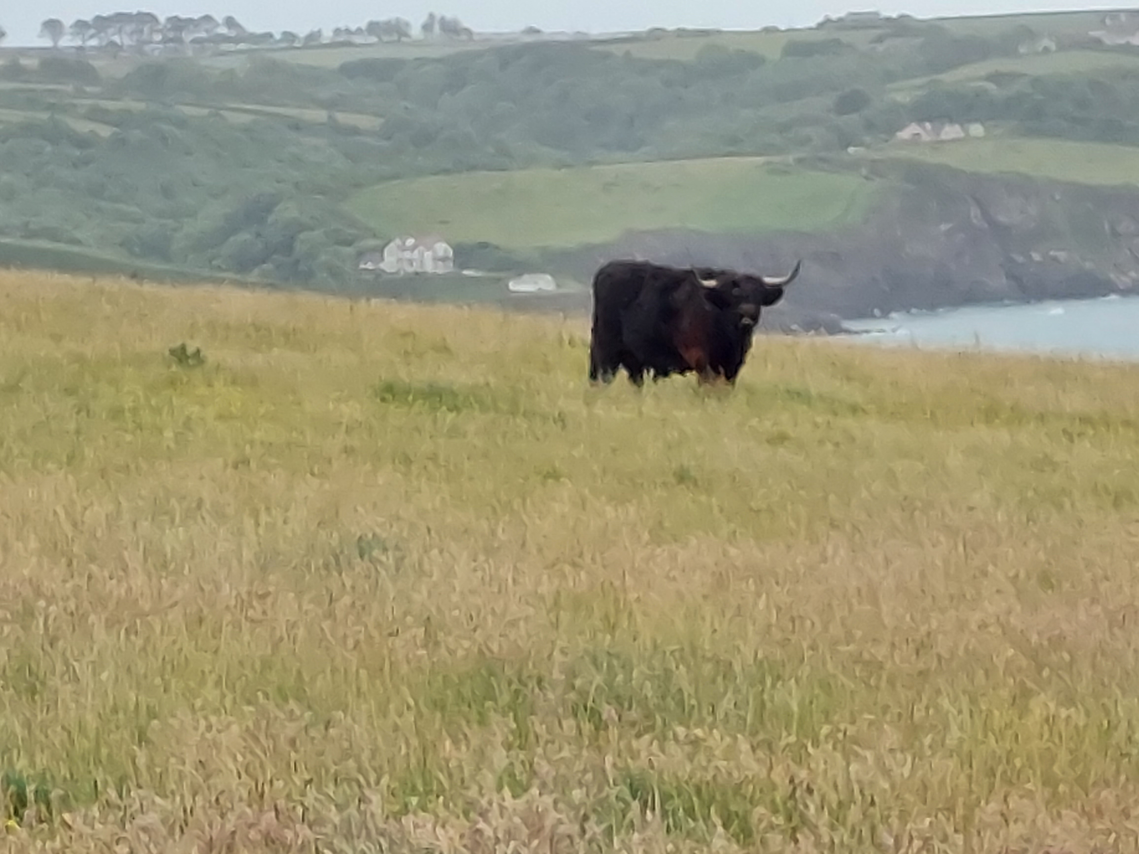
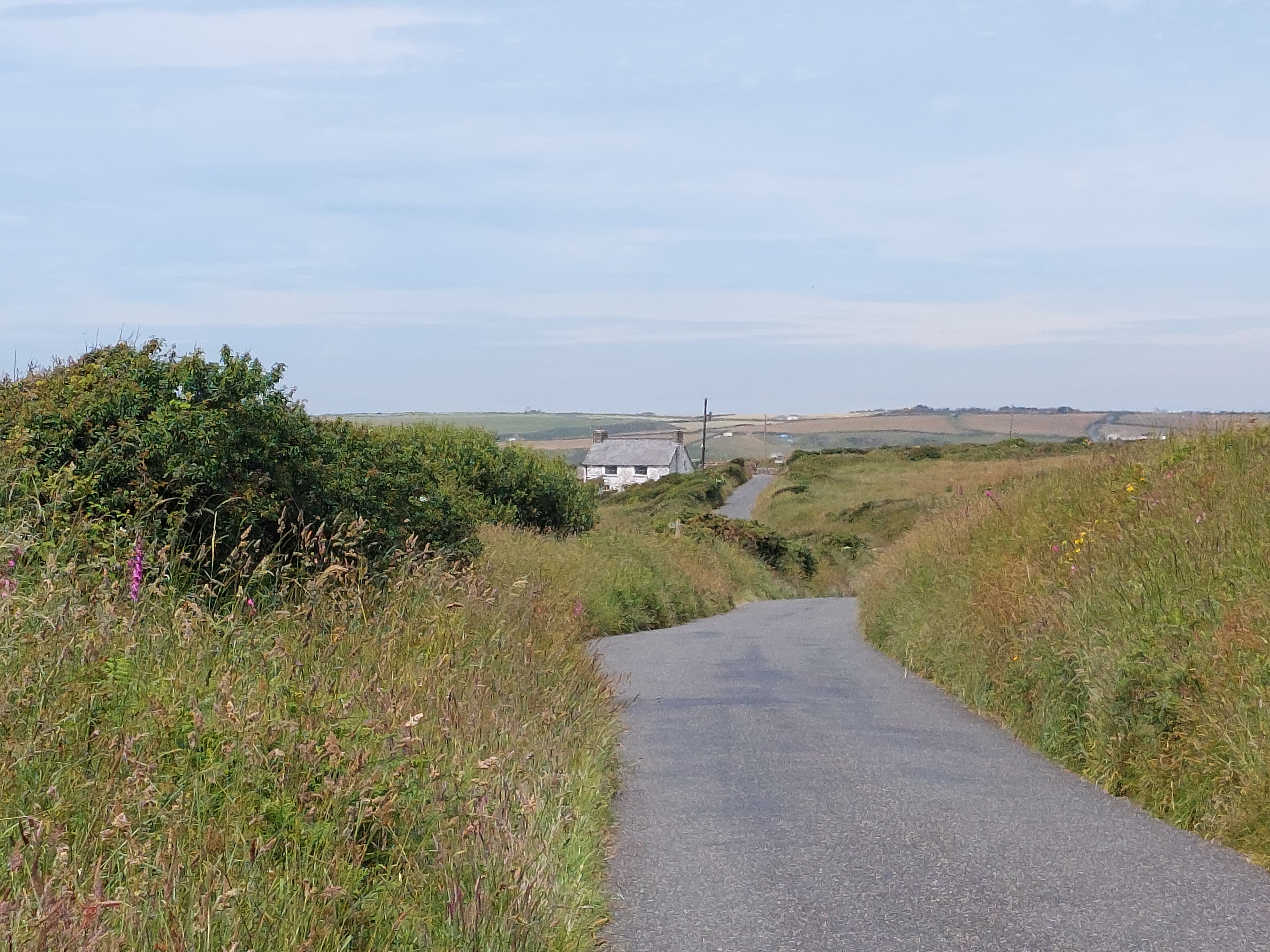
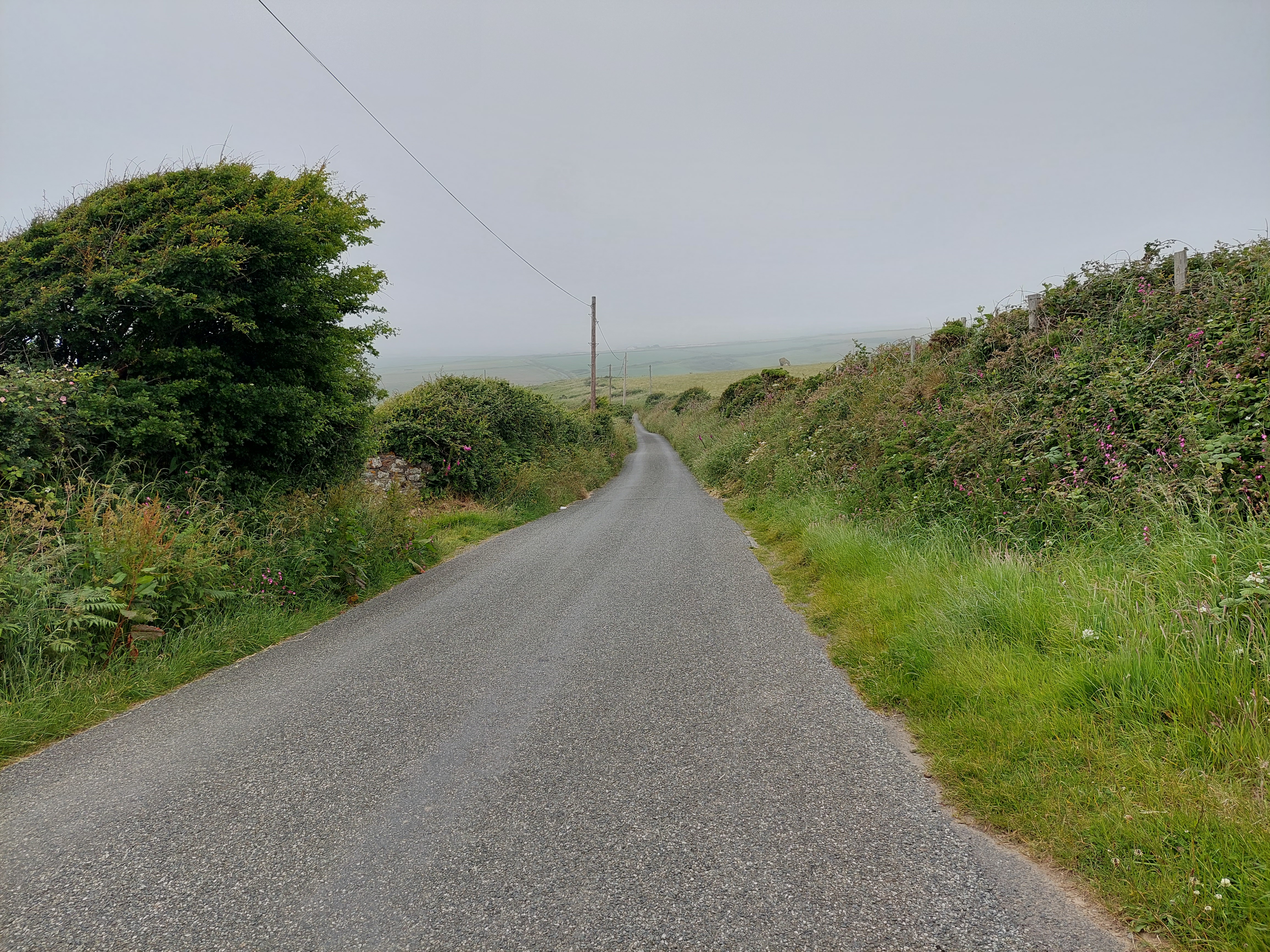
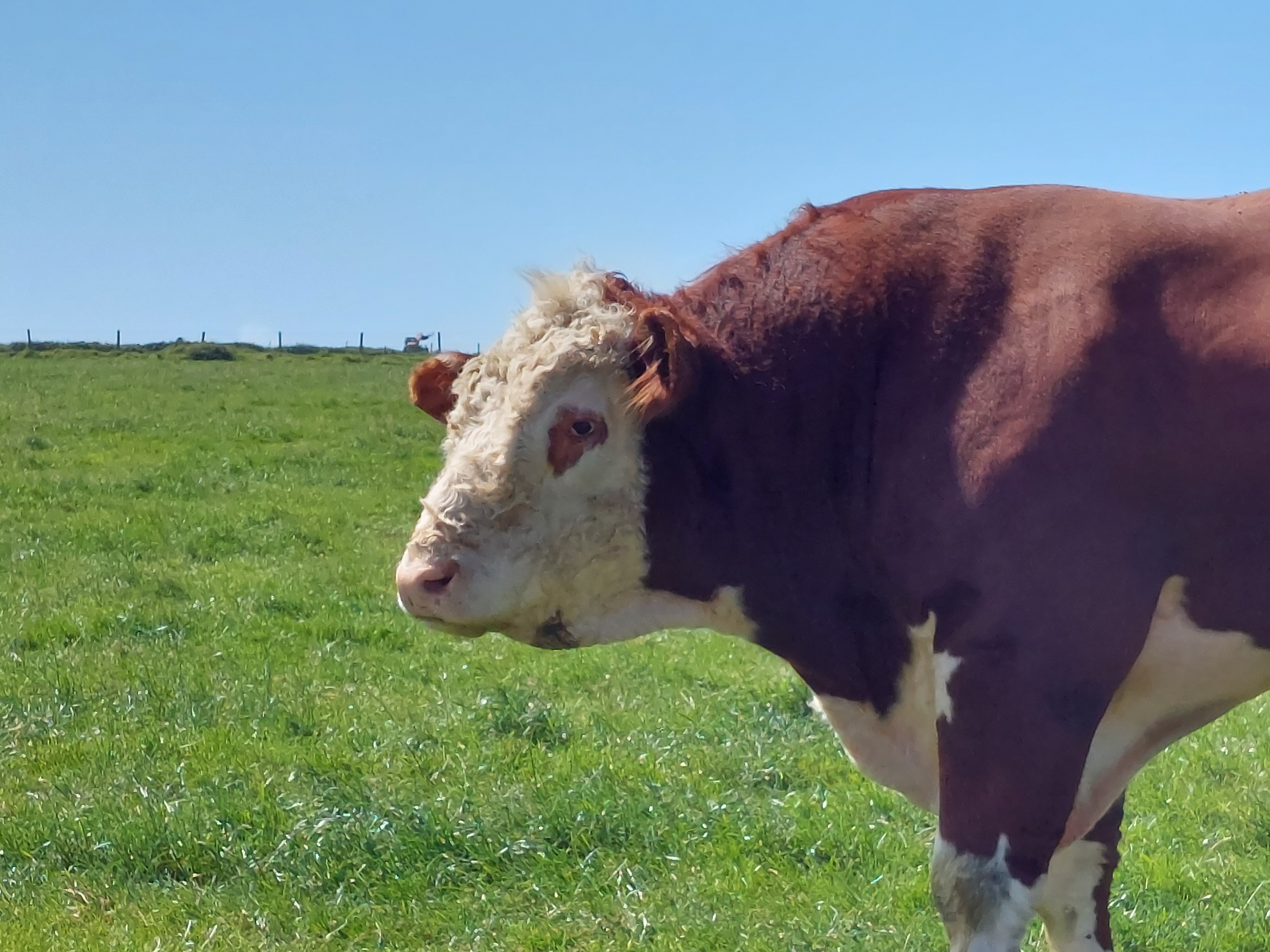
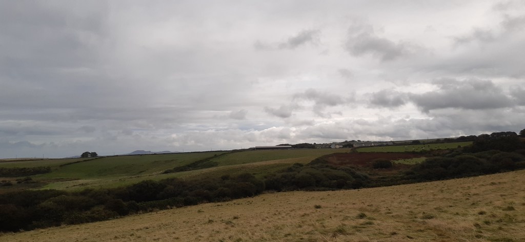
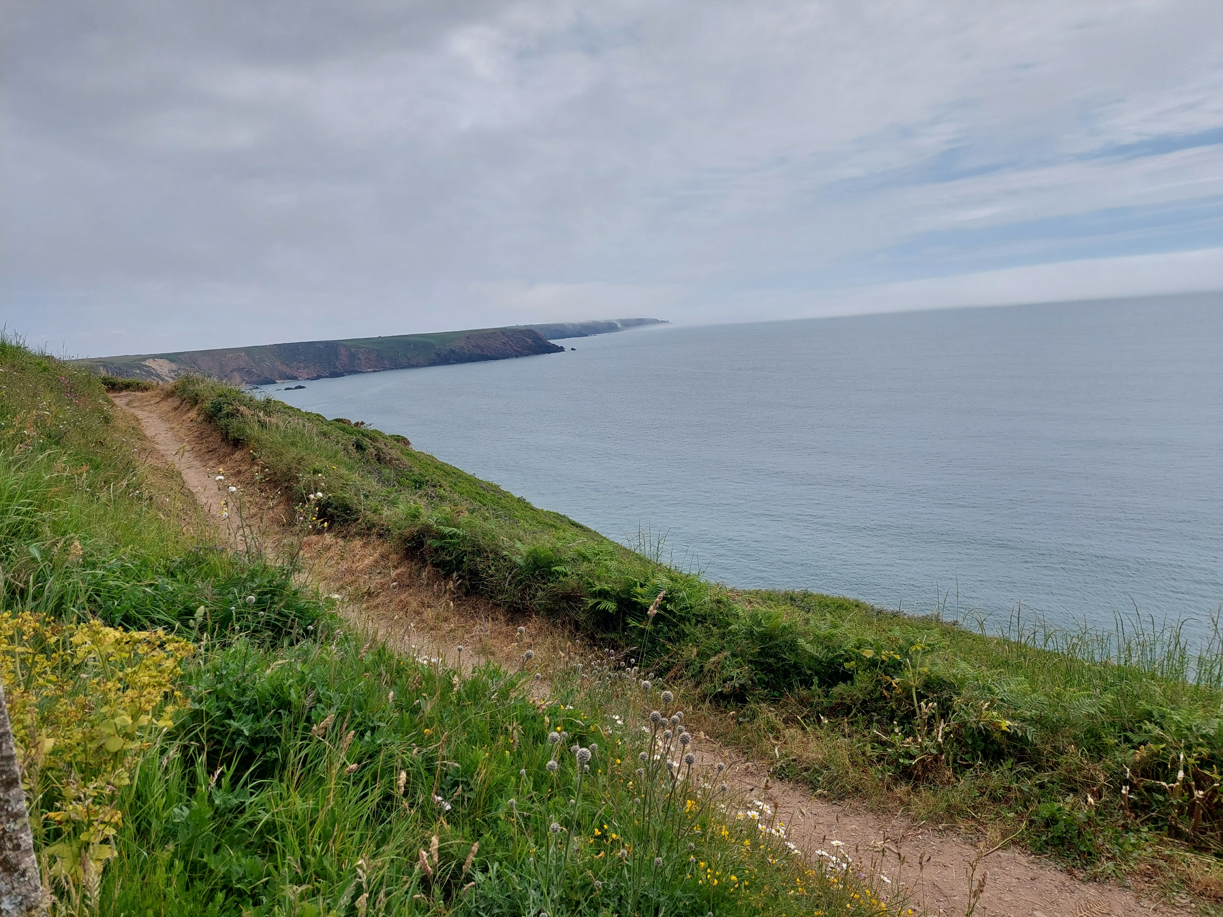
Anyway I set off in the misty conditions (as it had been yesterday). When the sun did break through it got rather humid so with the exception of blotting out the view the mist was quite helpful. I did the inland leg first following some rather strange way mark signs with frogs (or toads on!), then a stretch on a narrow lane, before a connecting lane and track to the abandoned Dale airfield. There was another bit where I was conscious of the horse flies near some cows and I had a conversation with a couple of cyclists (who are not permitted on the coast path itself!).

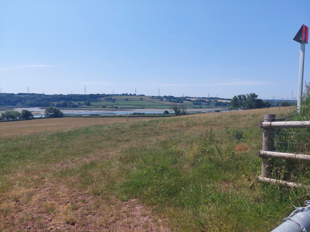
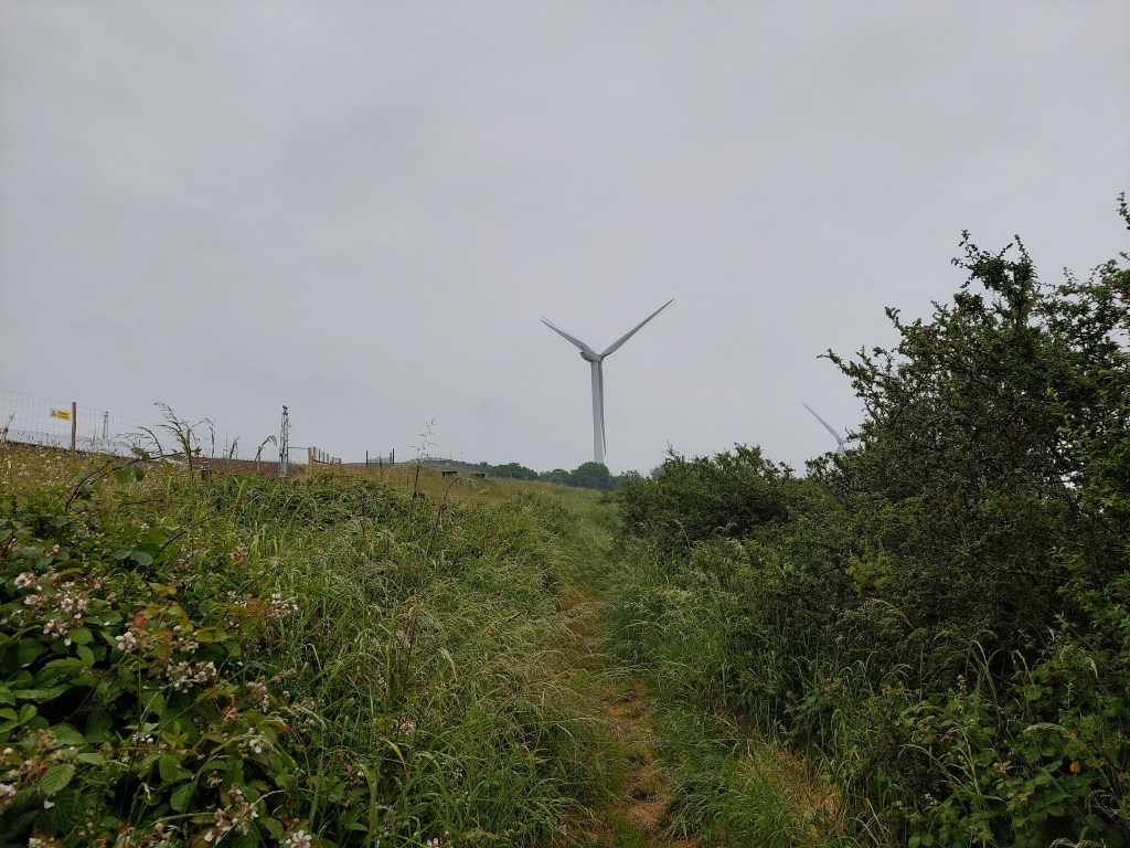
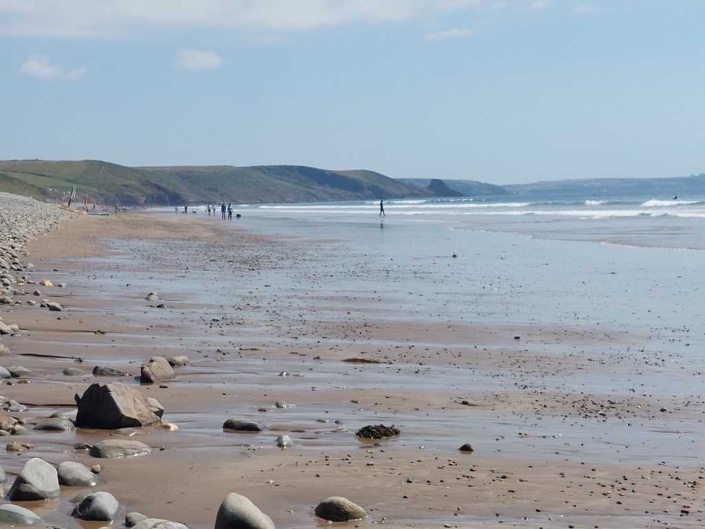
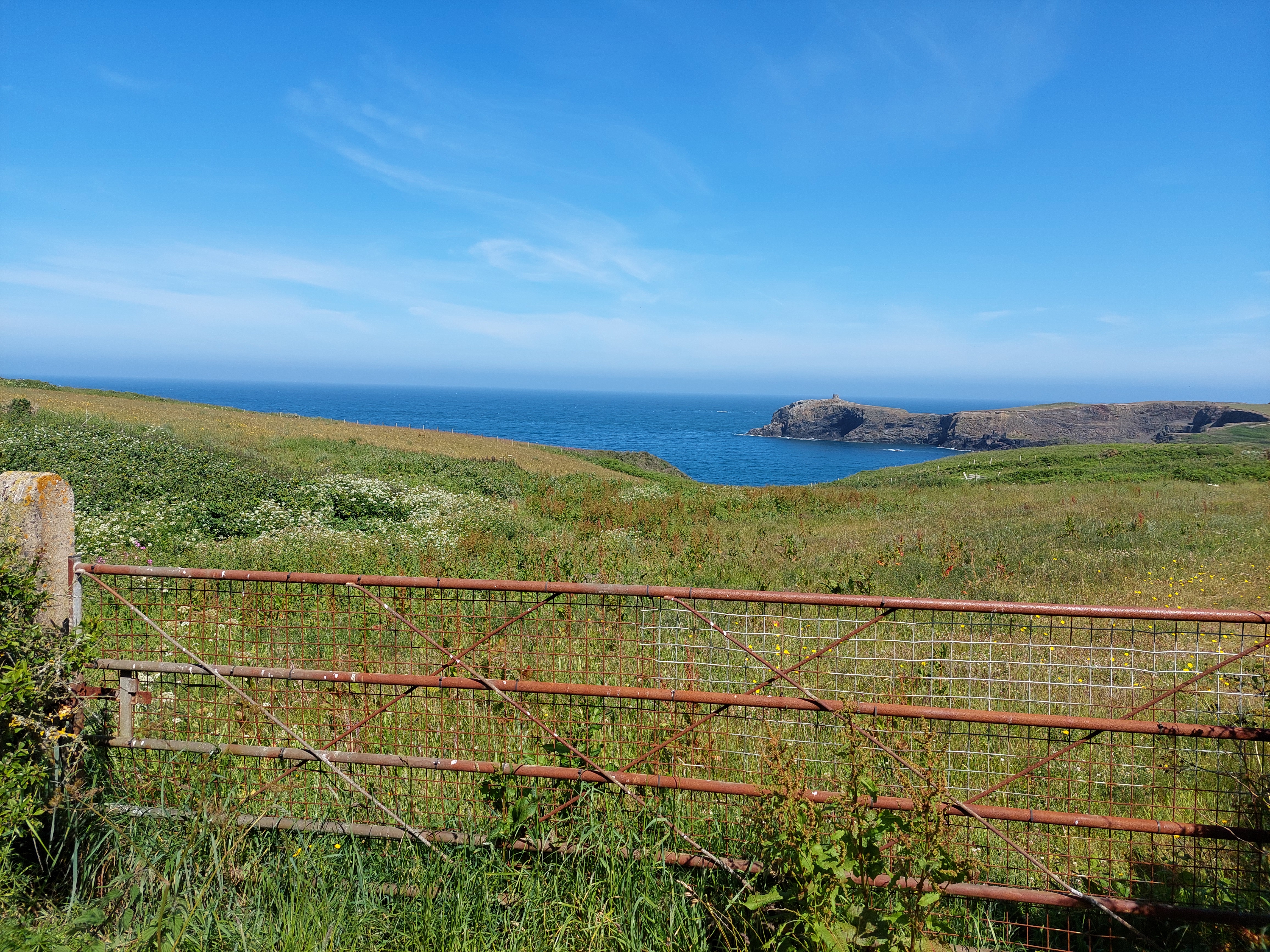
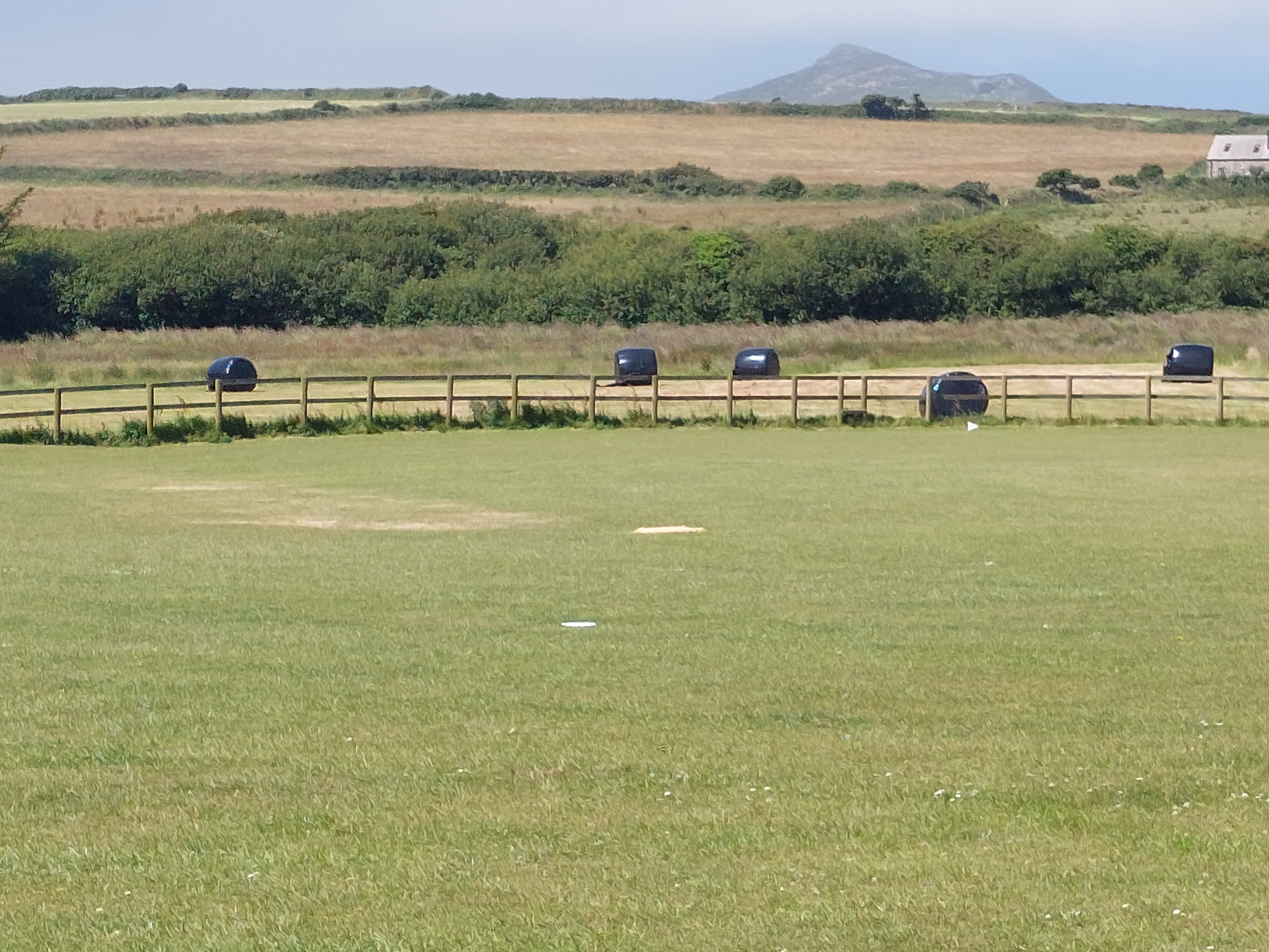
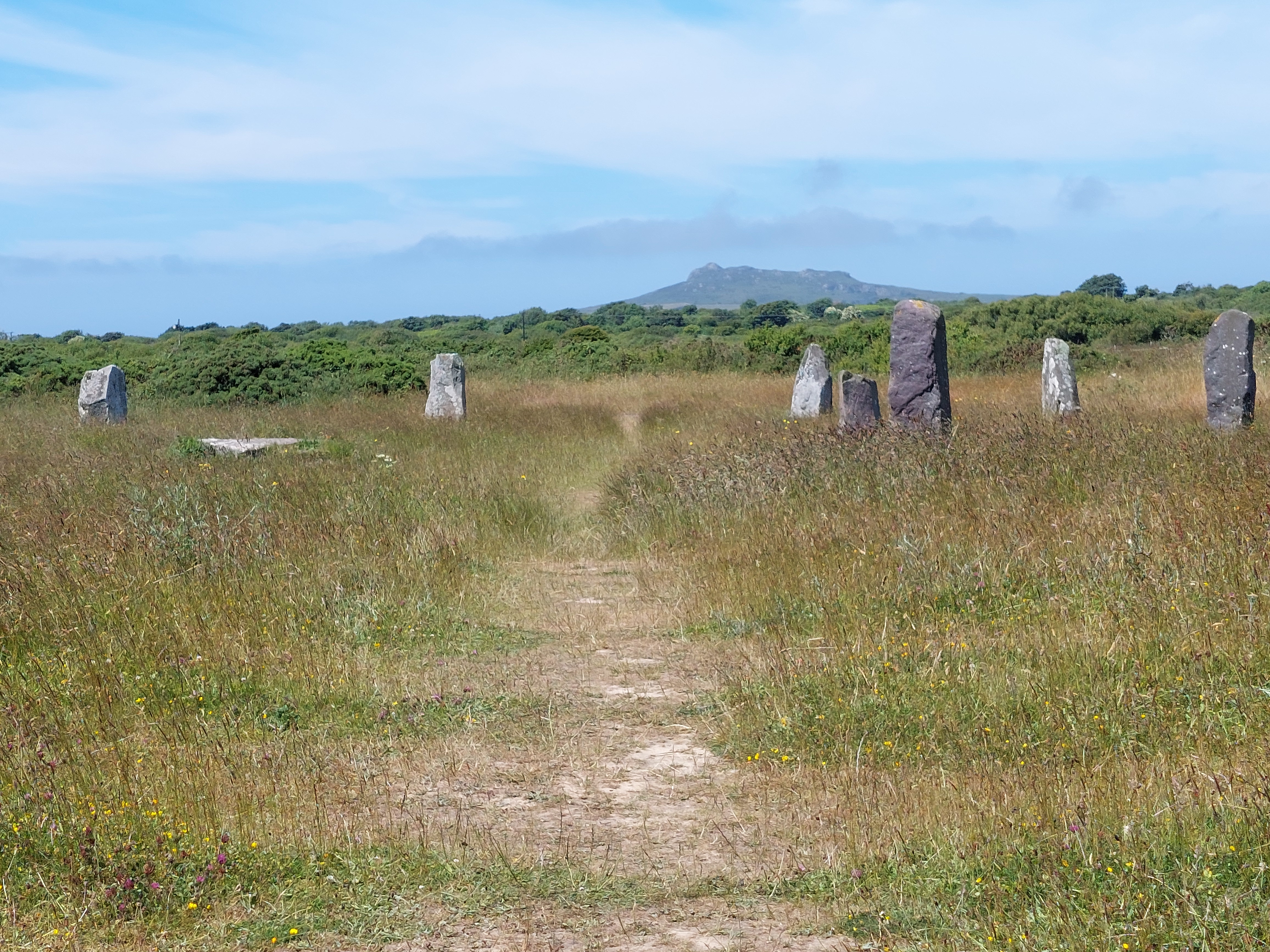
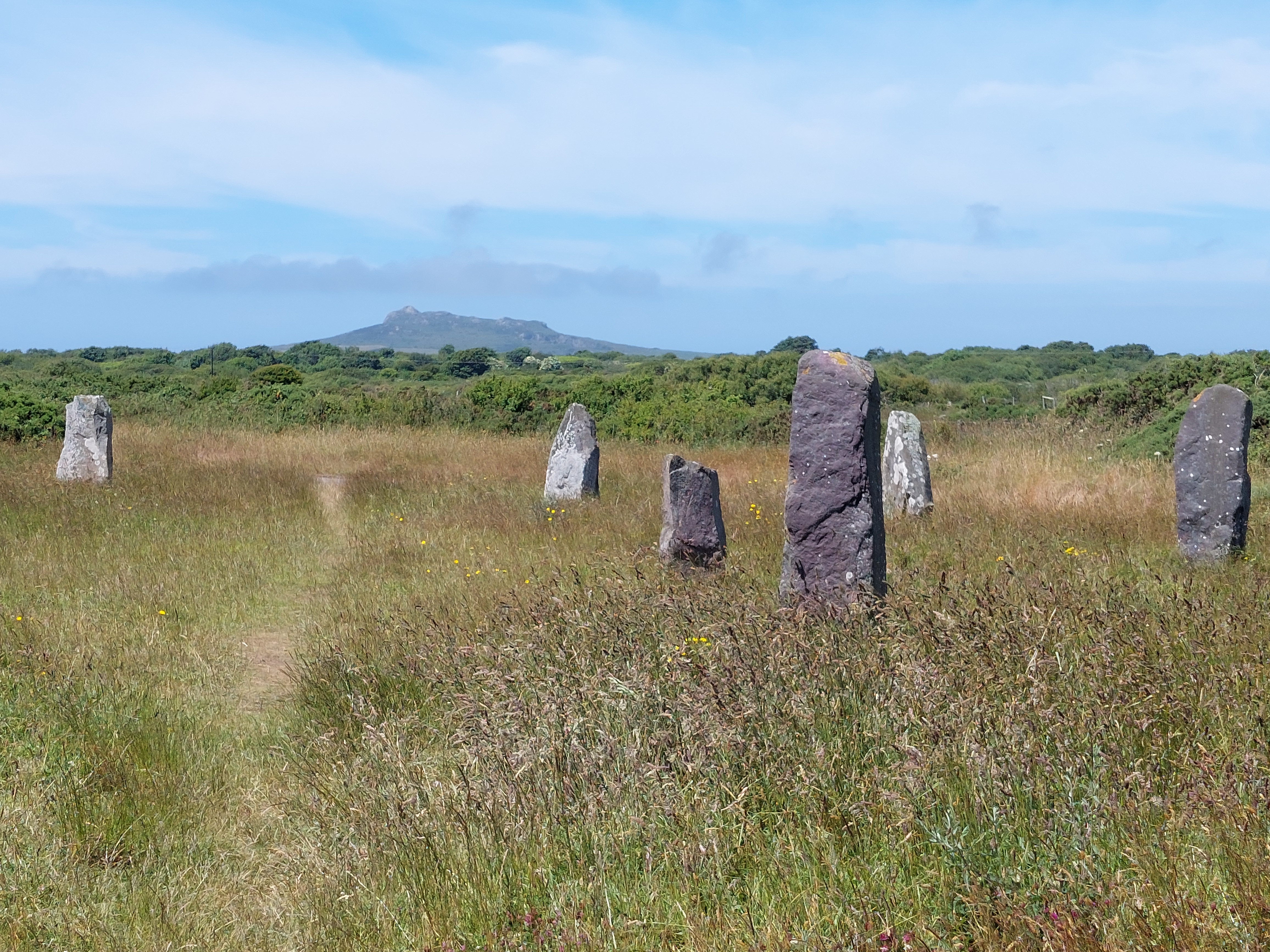
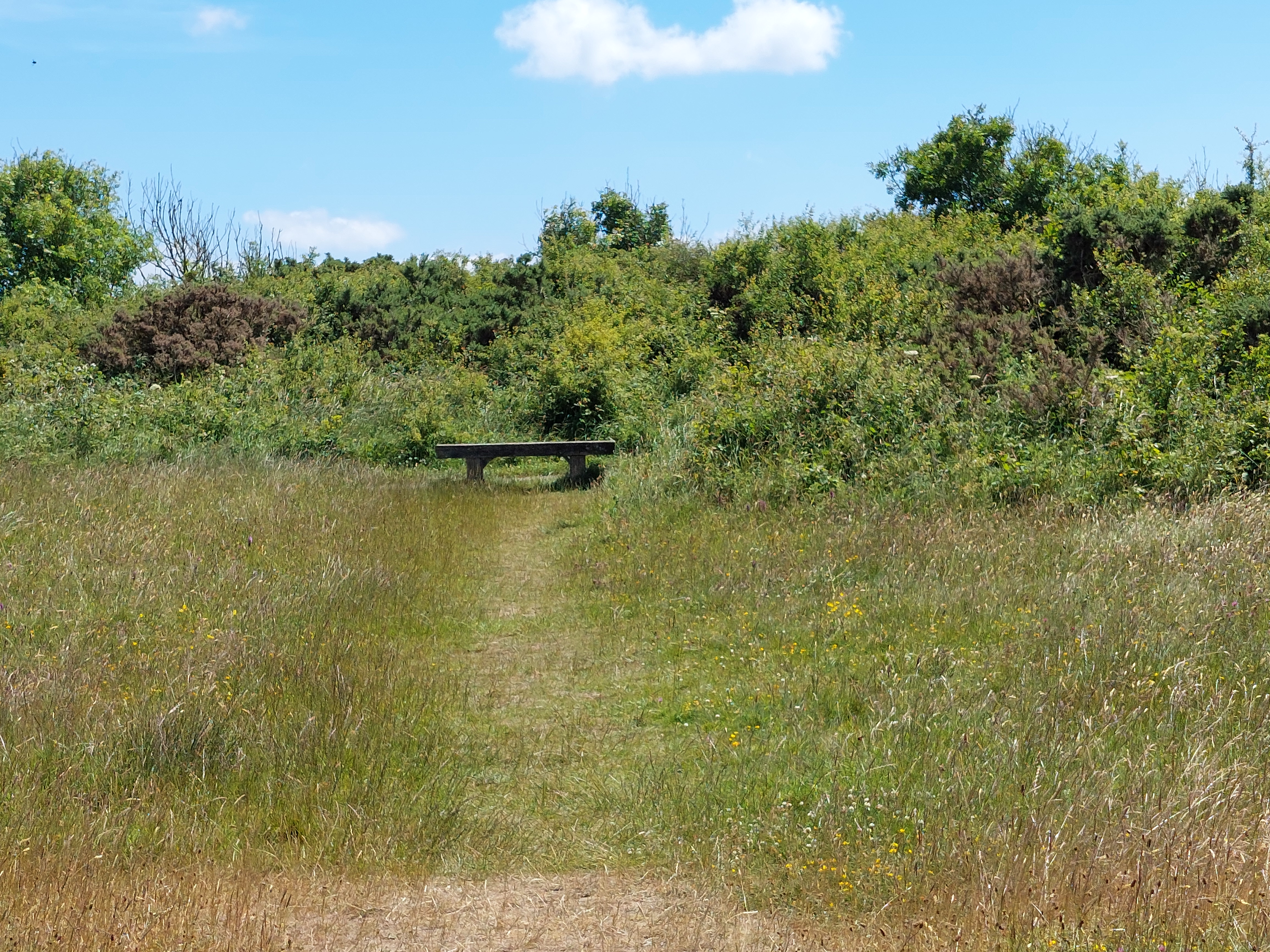
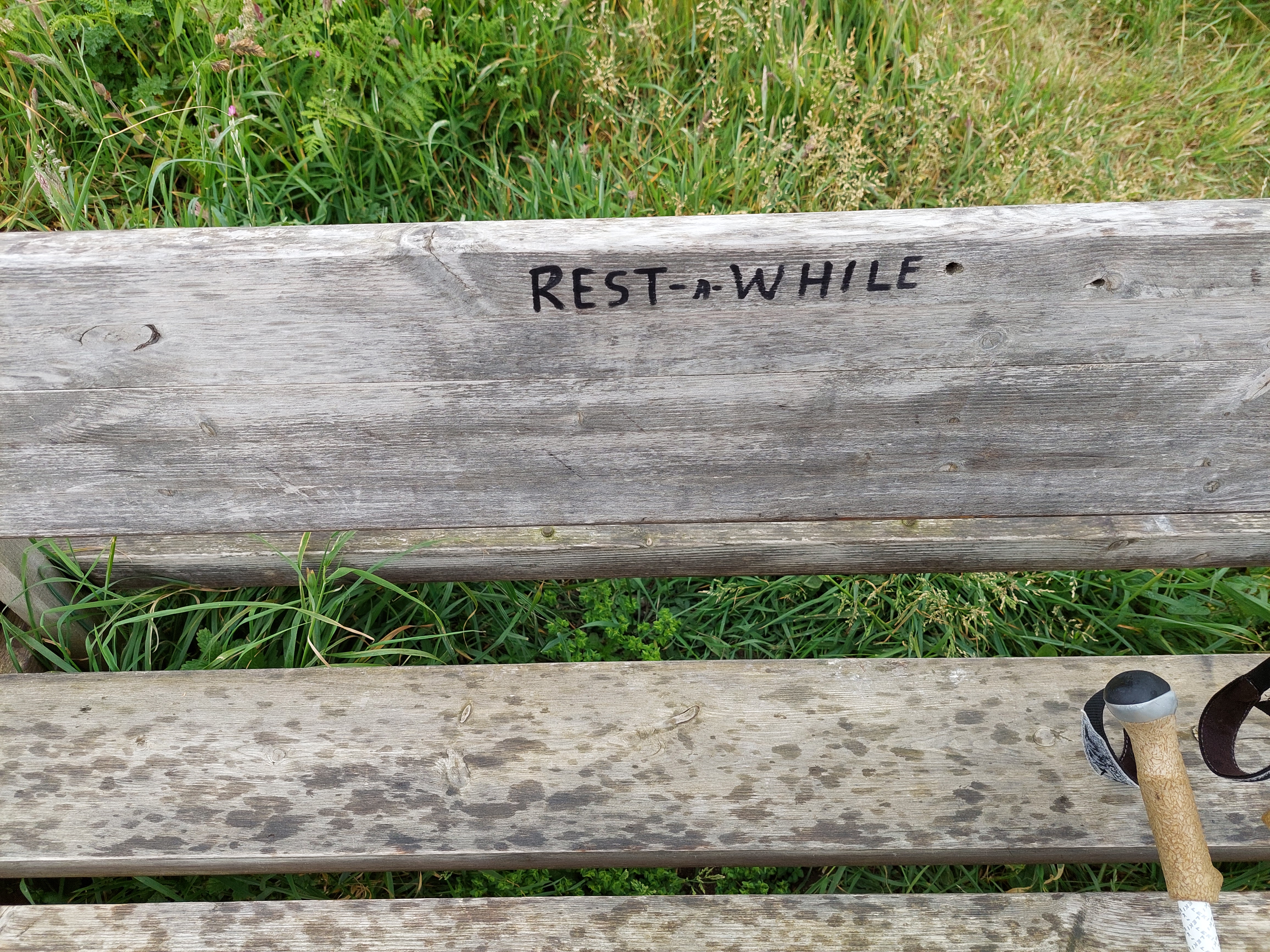
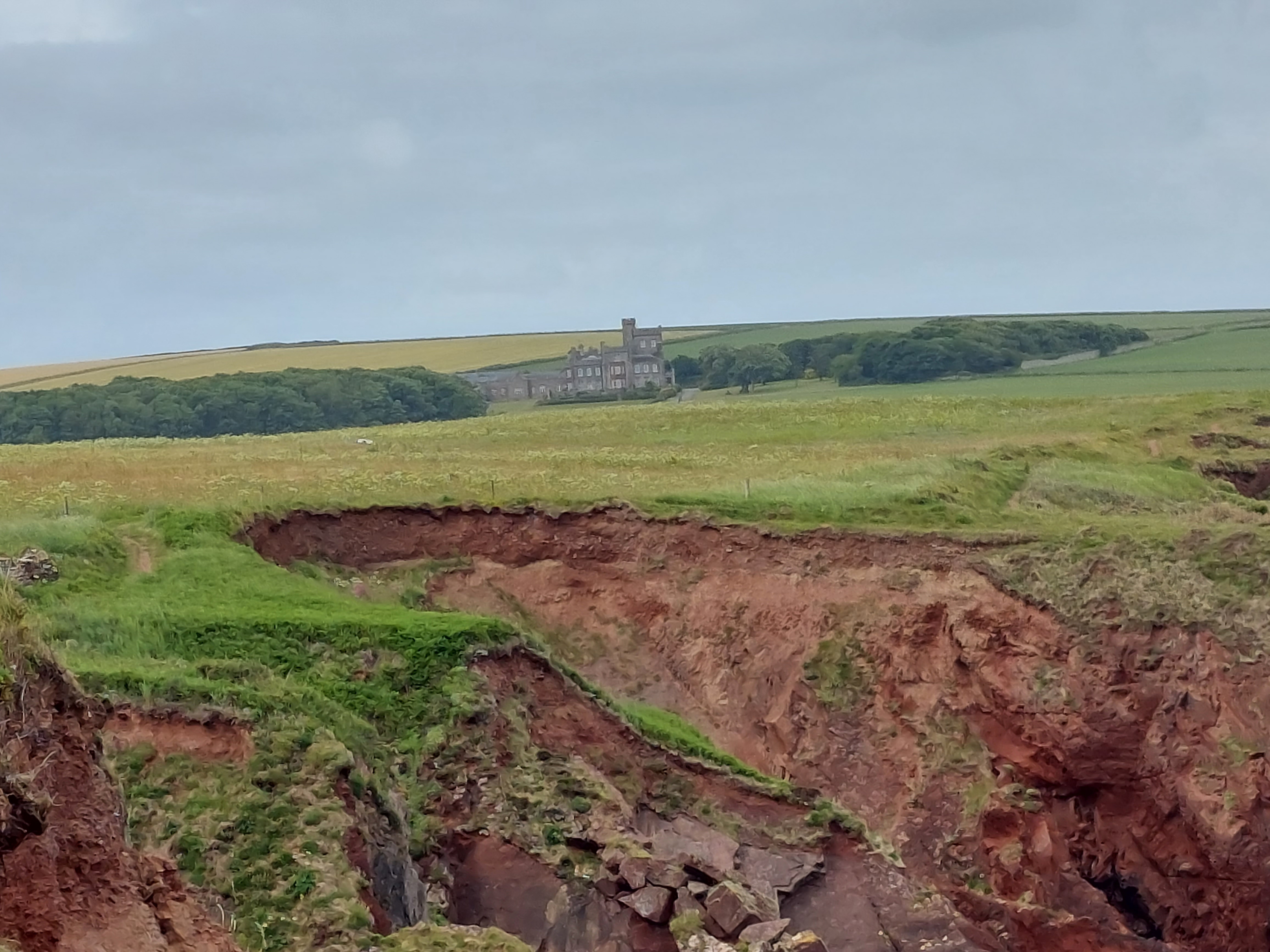
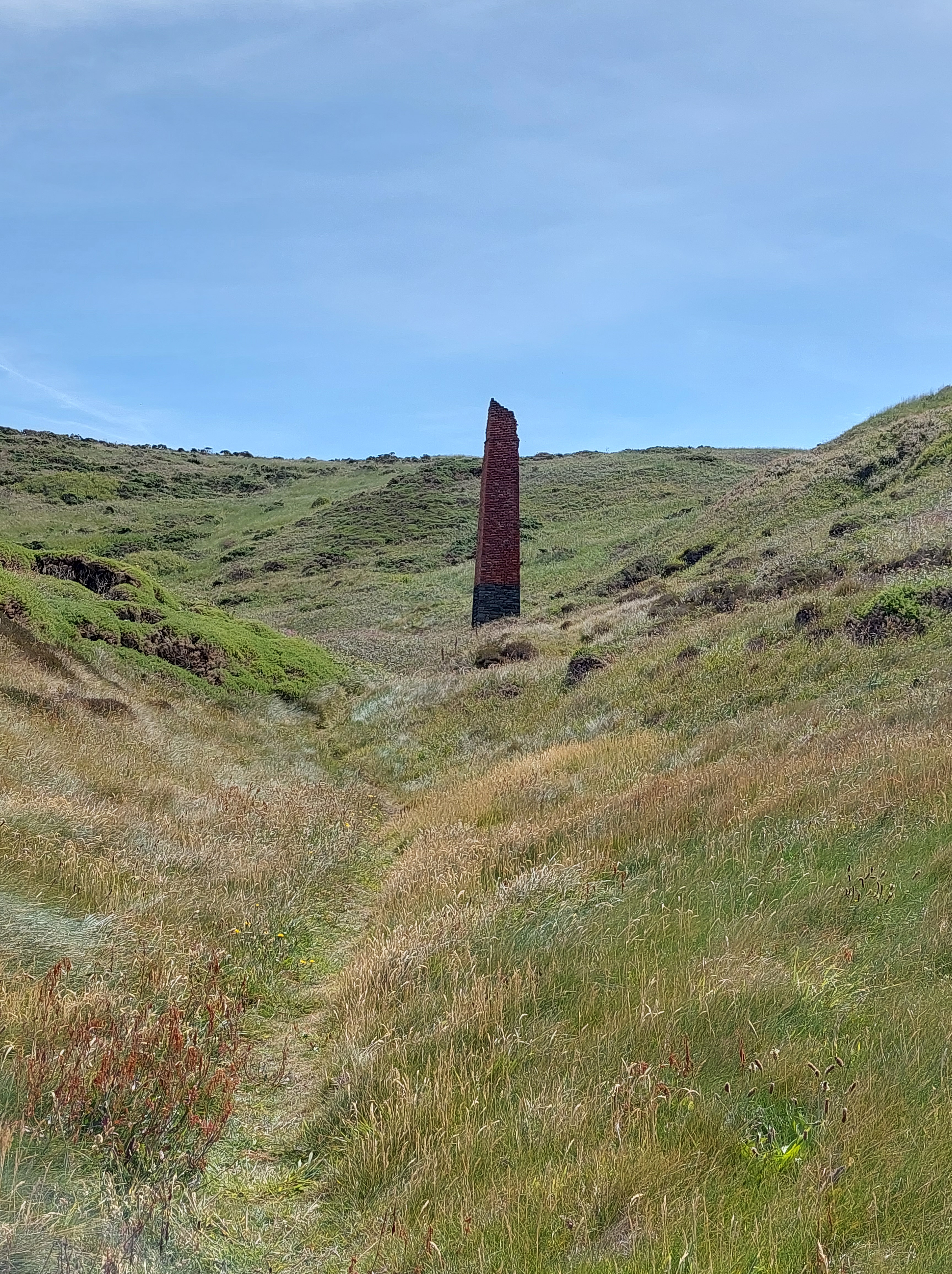
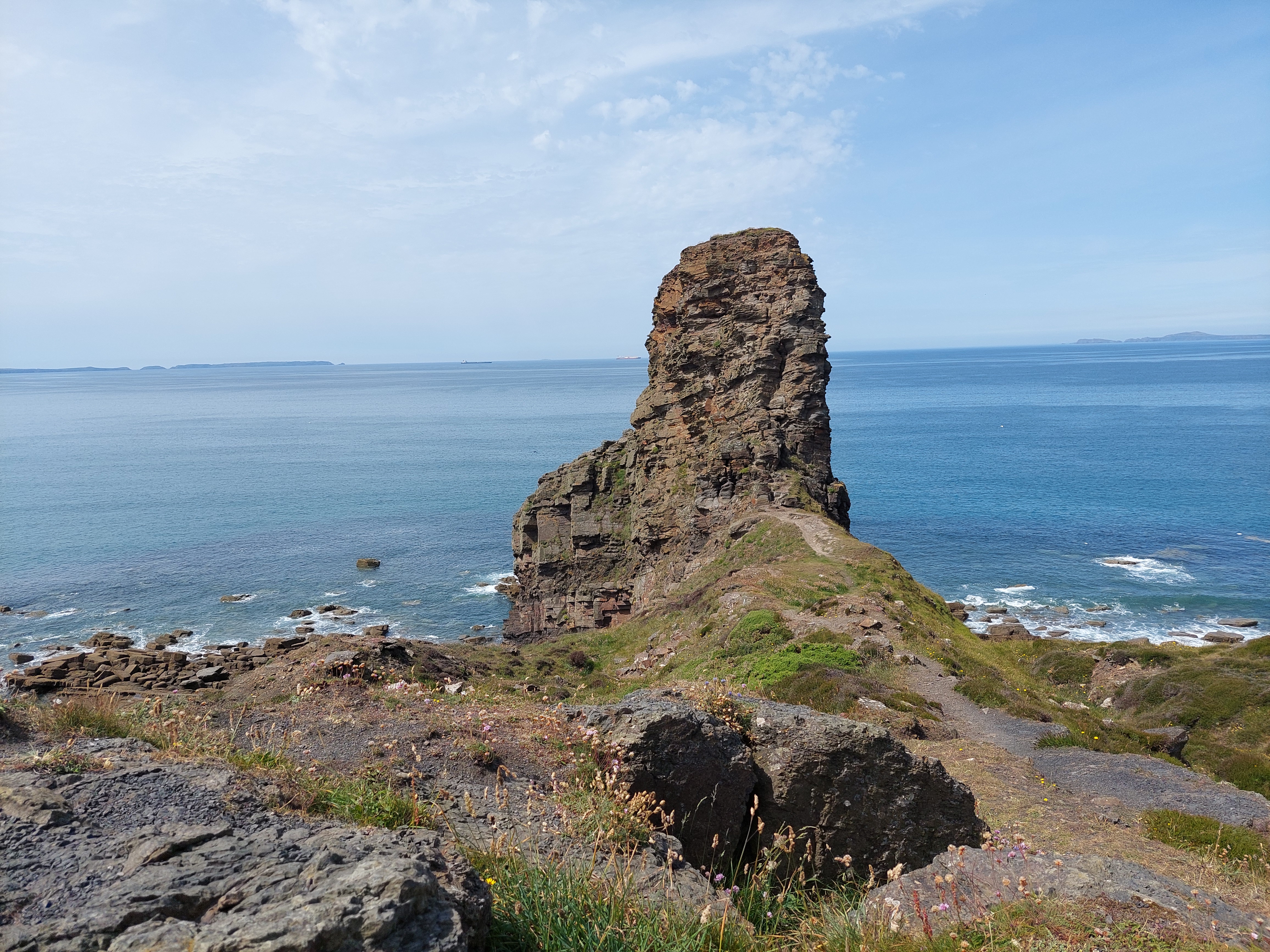
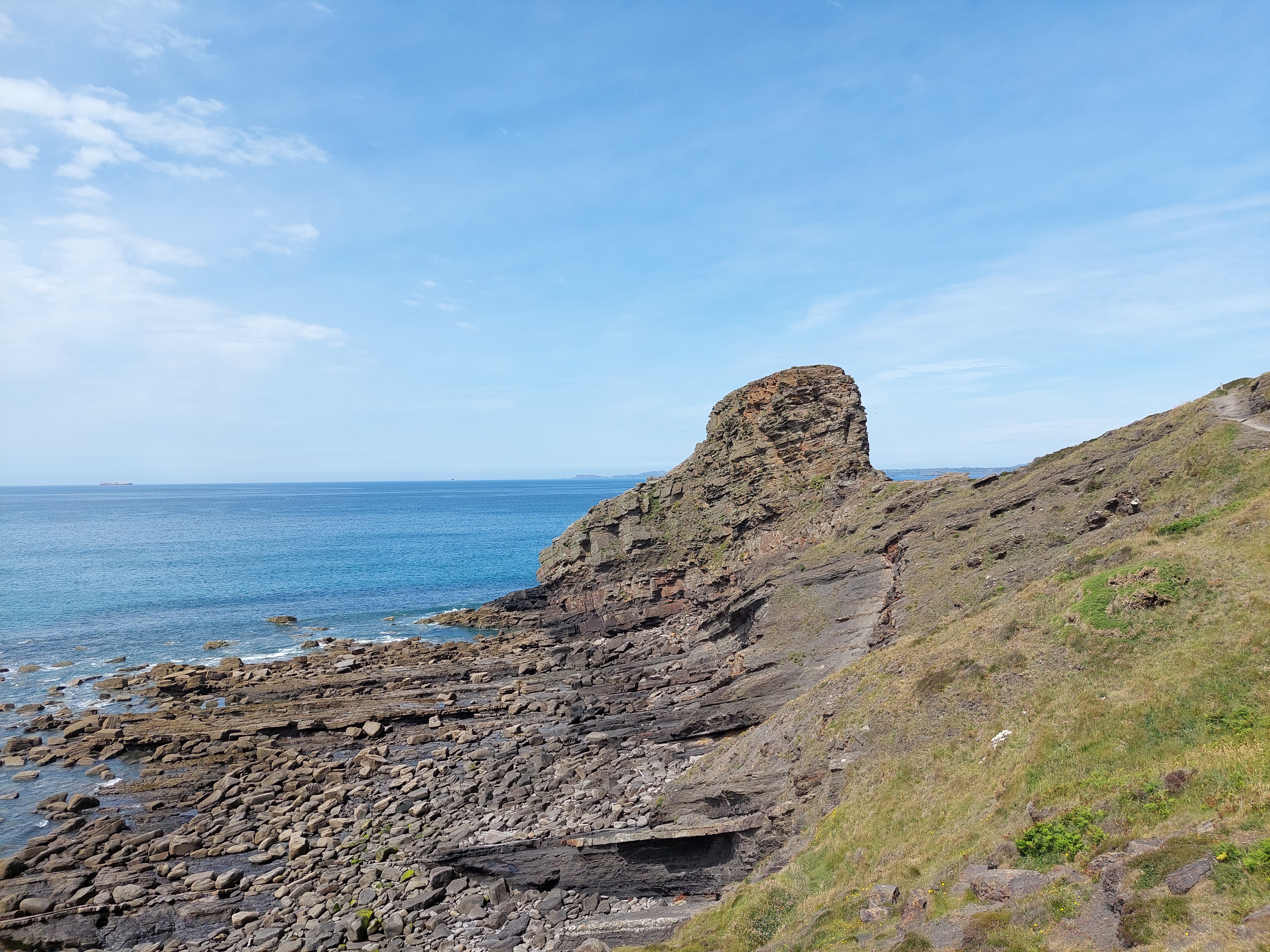
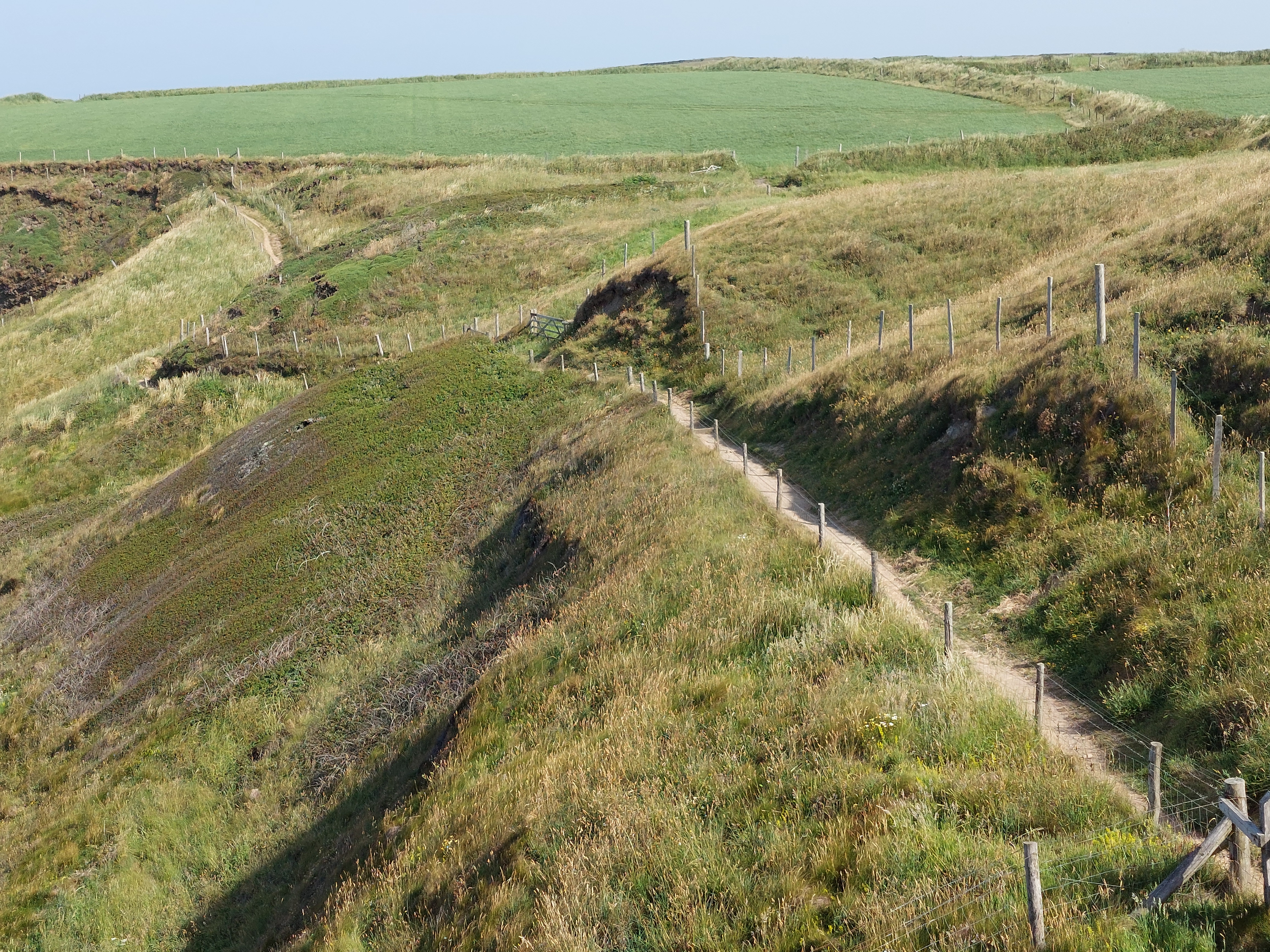
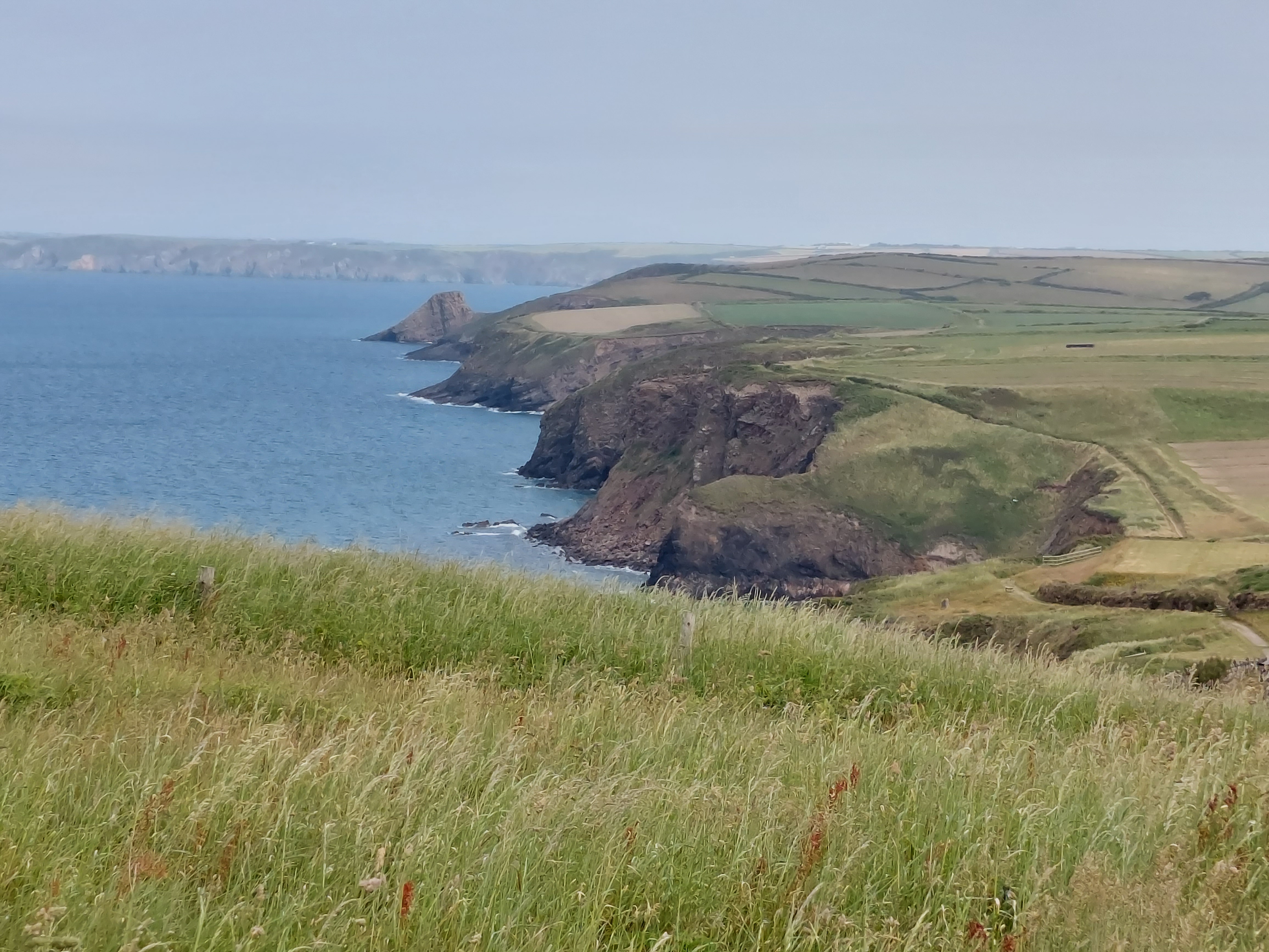
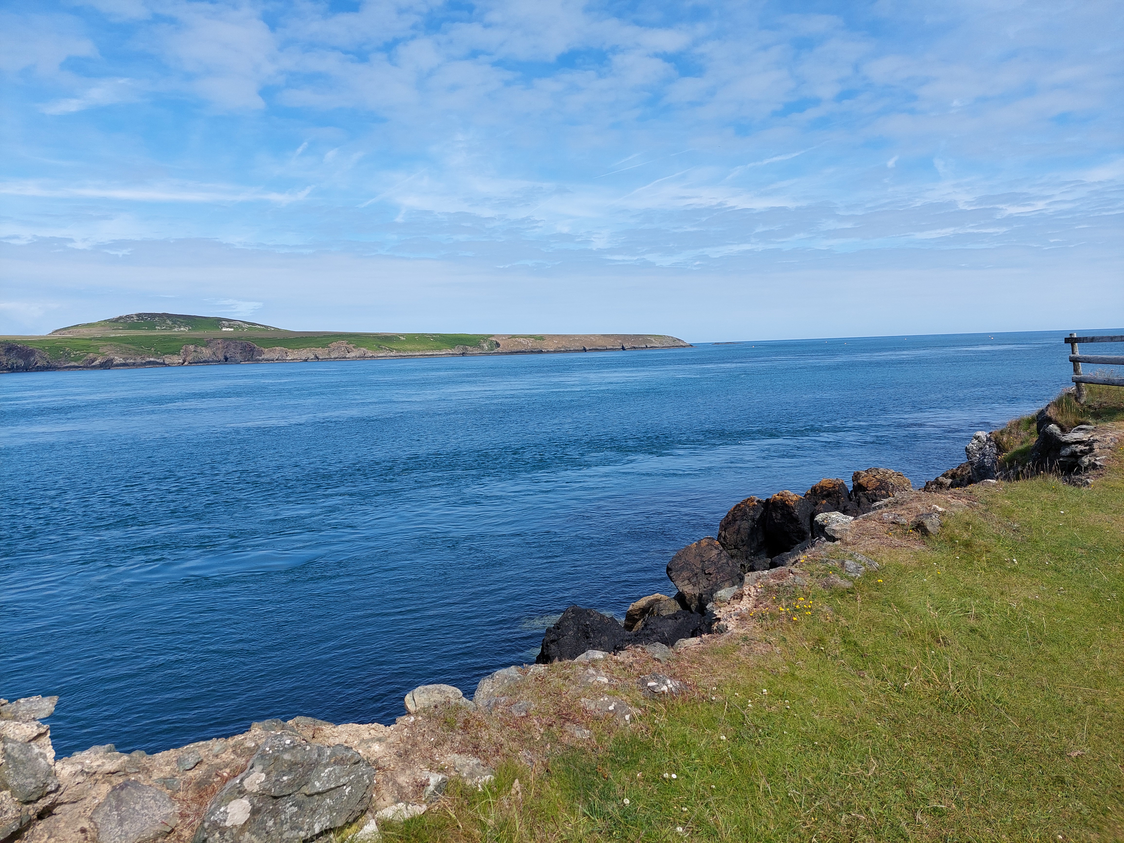
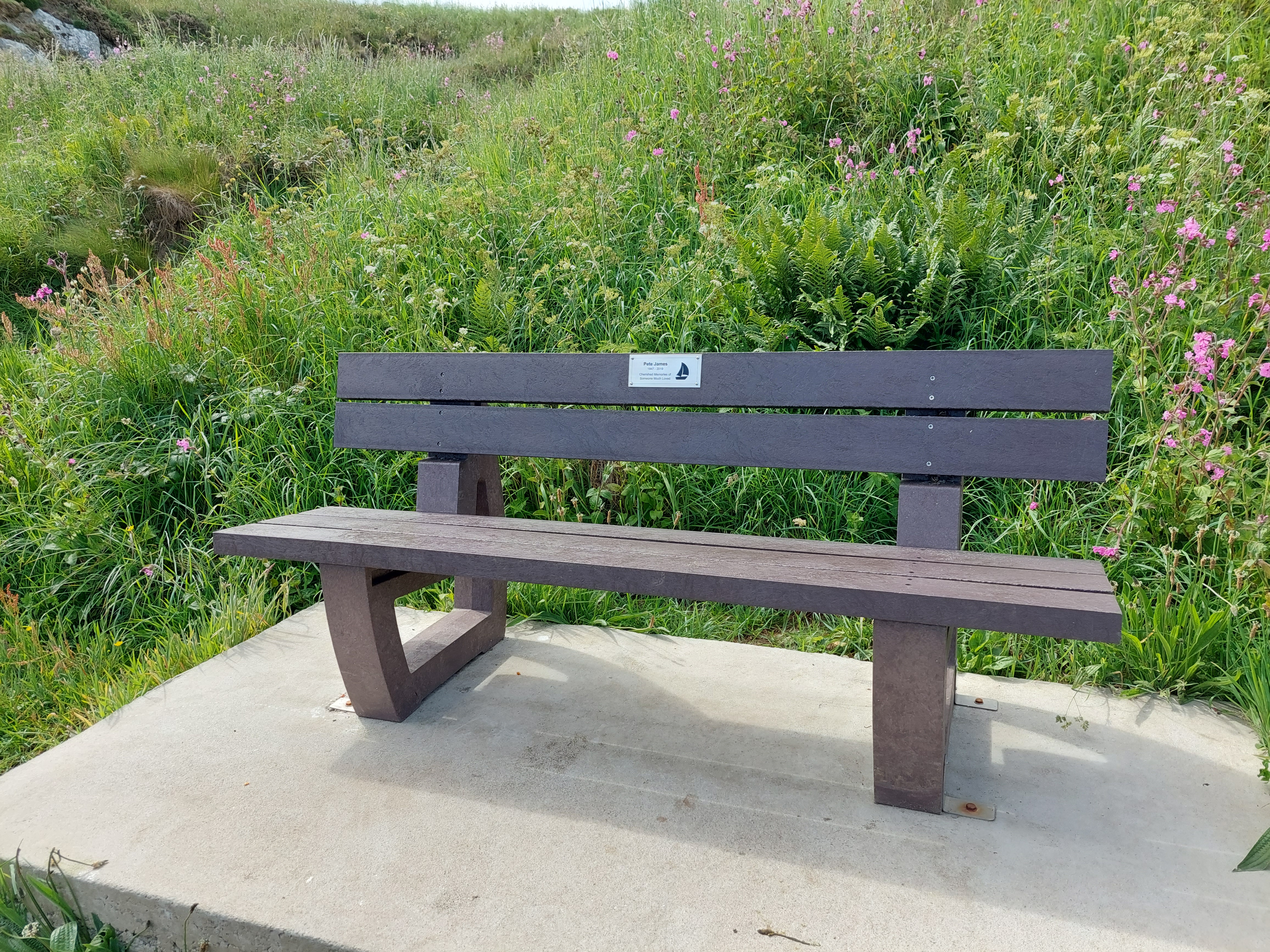
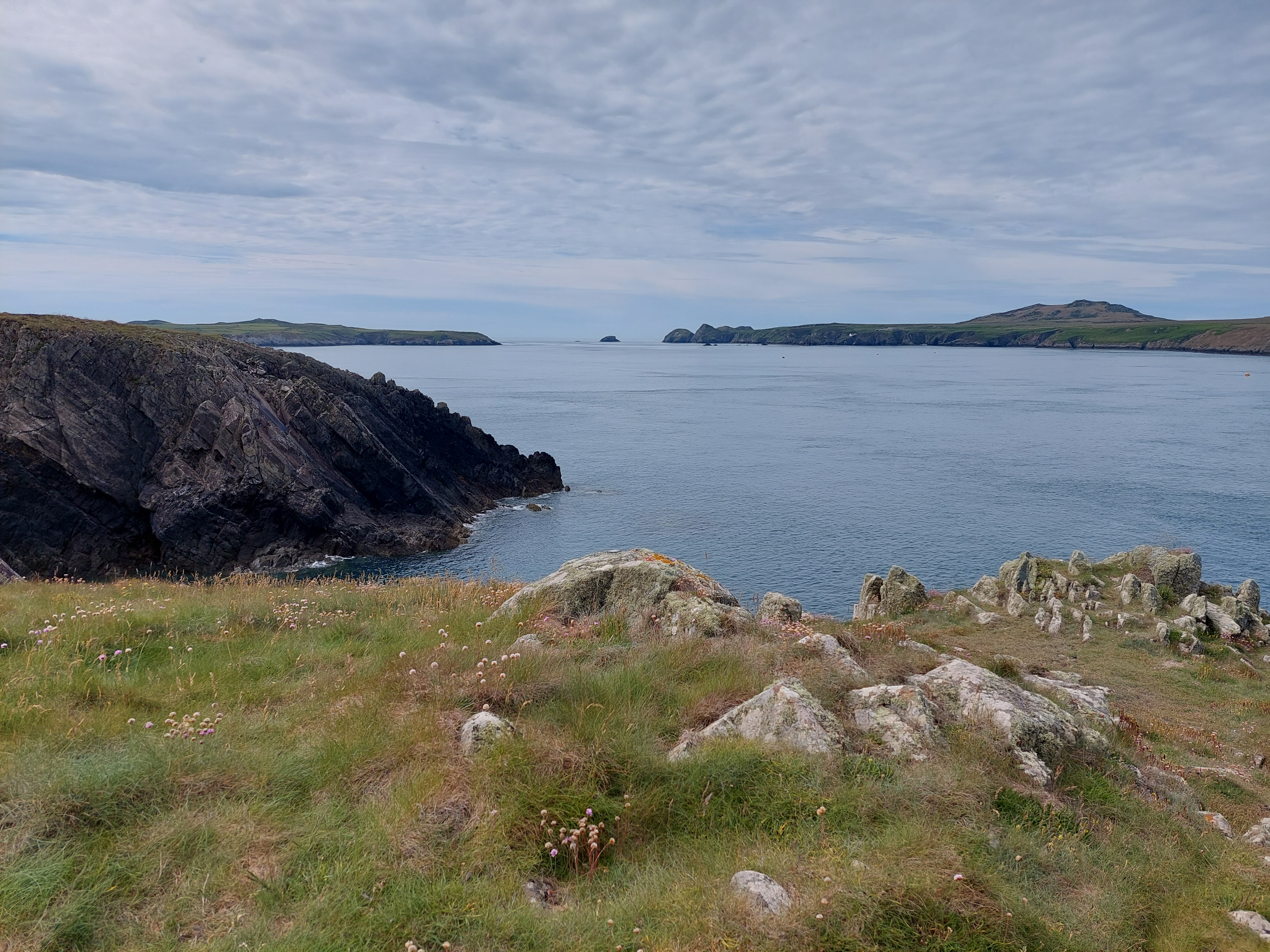
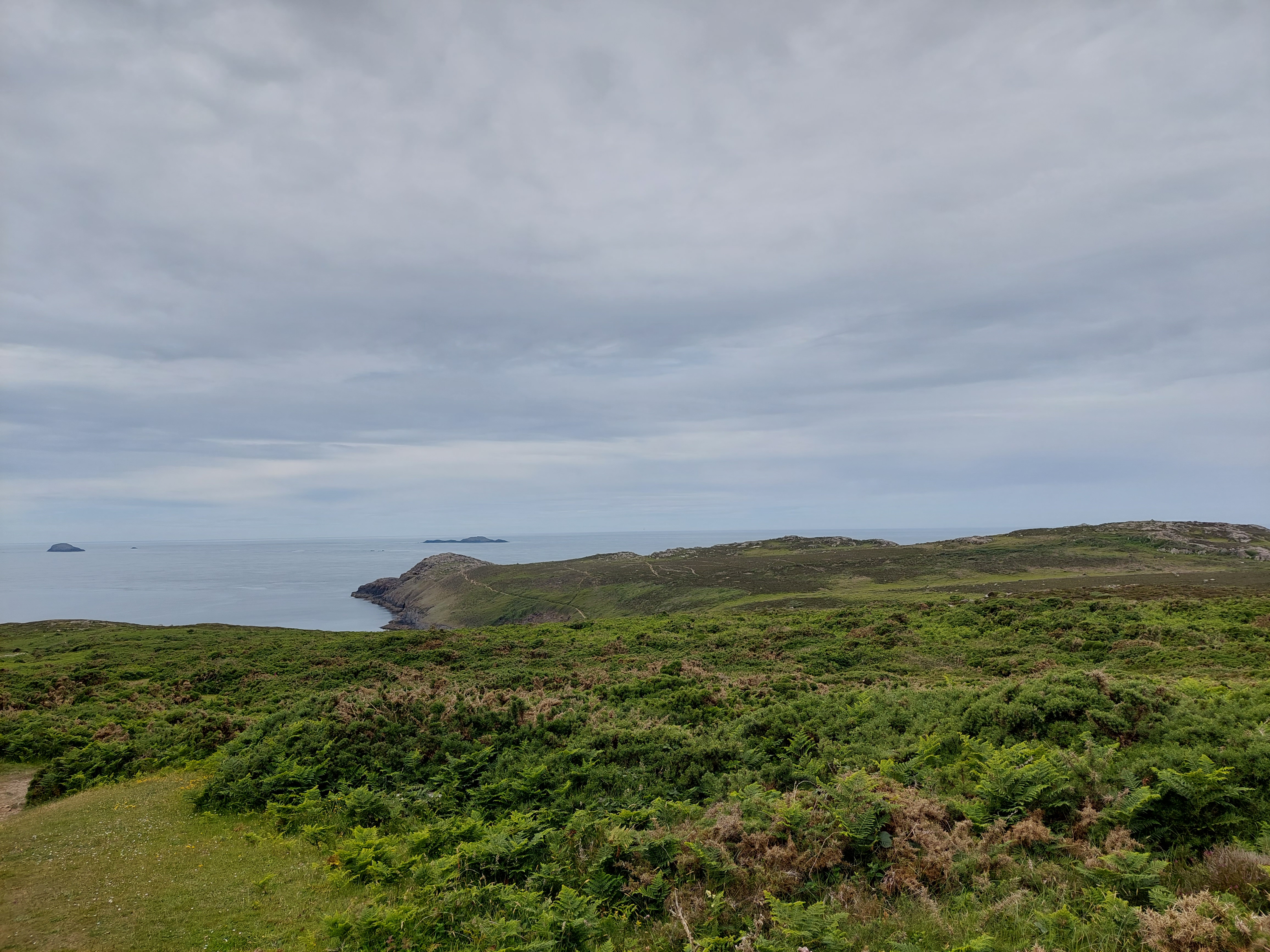
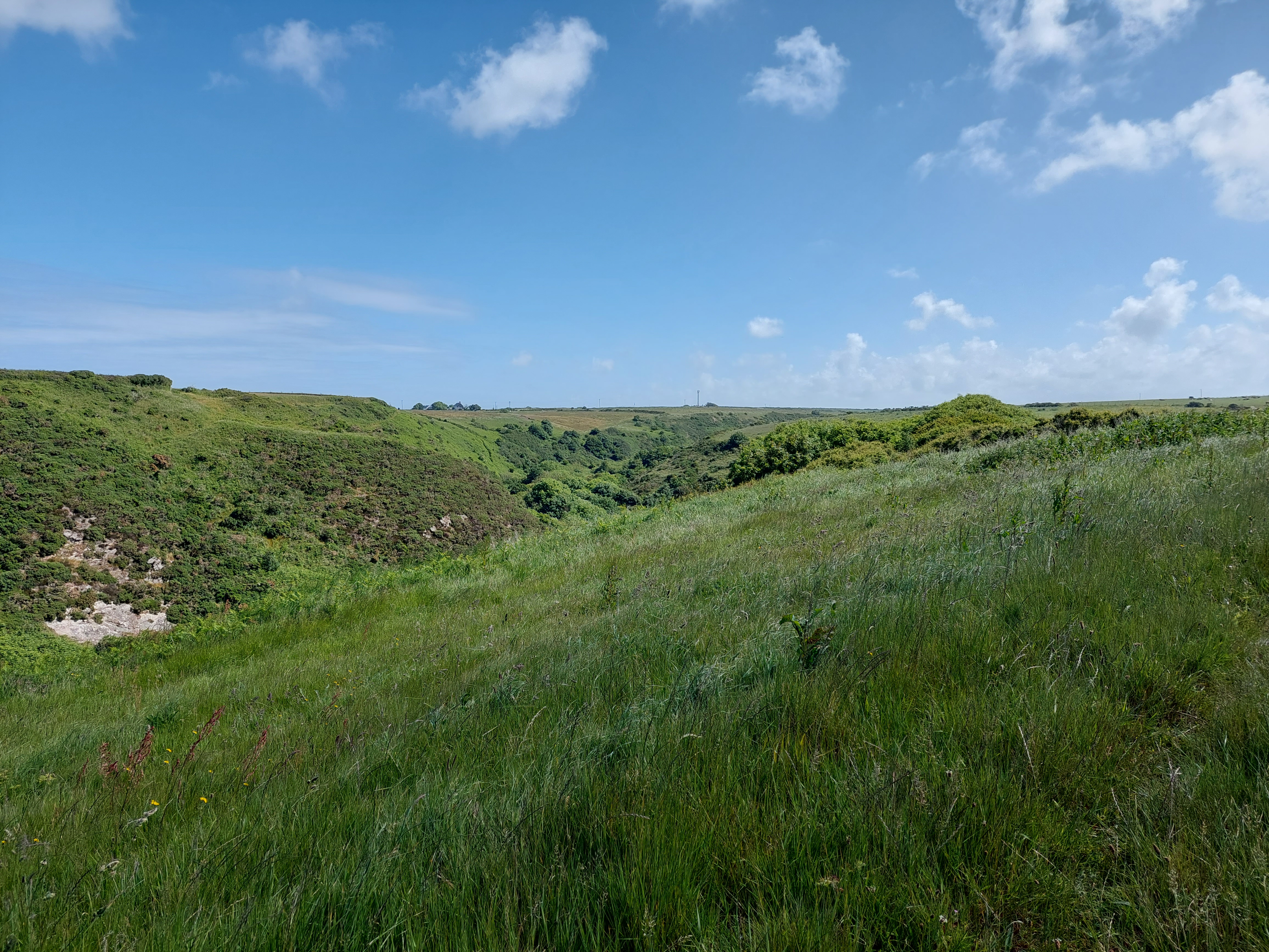
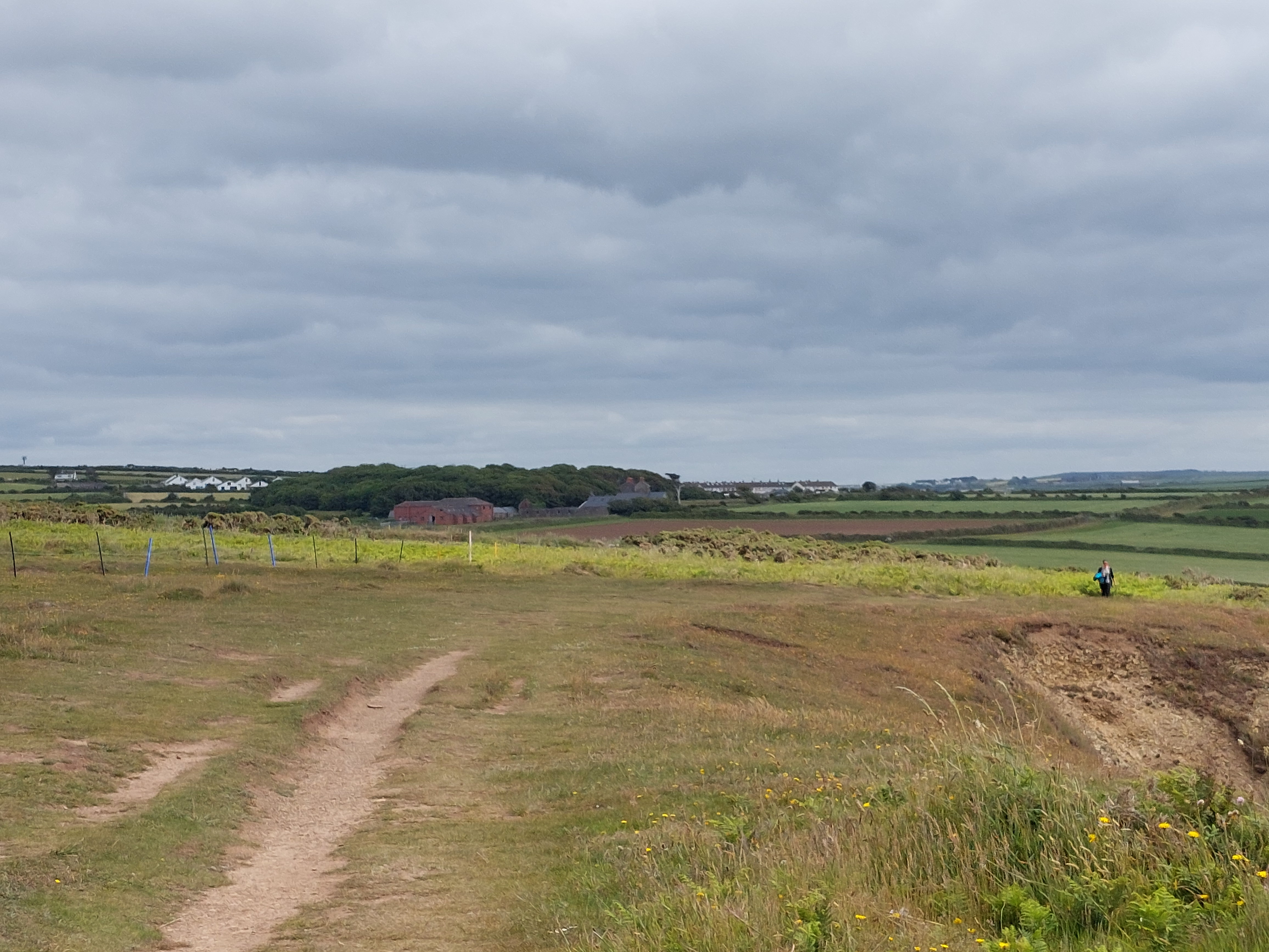
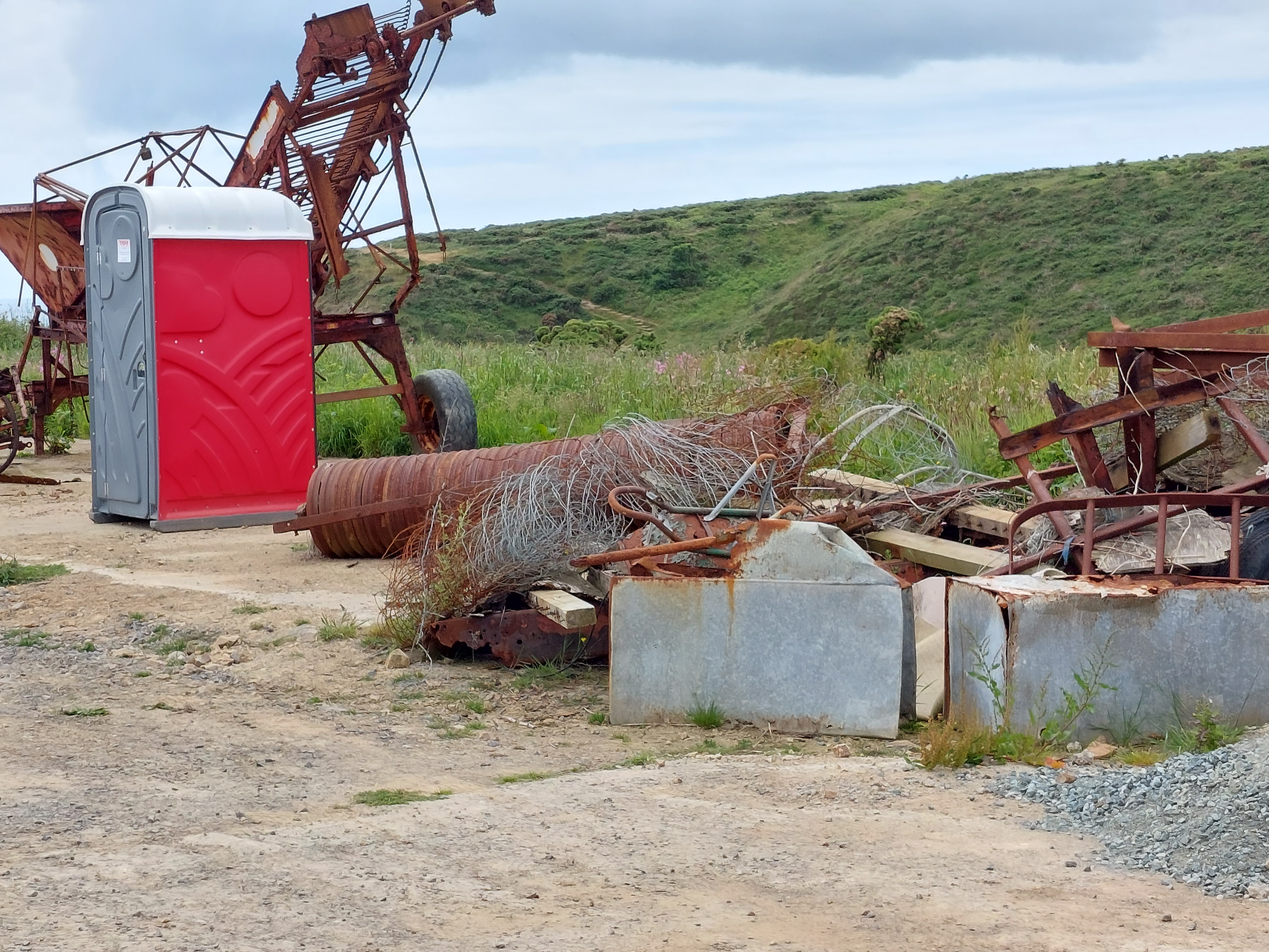
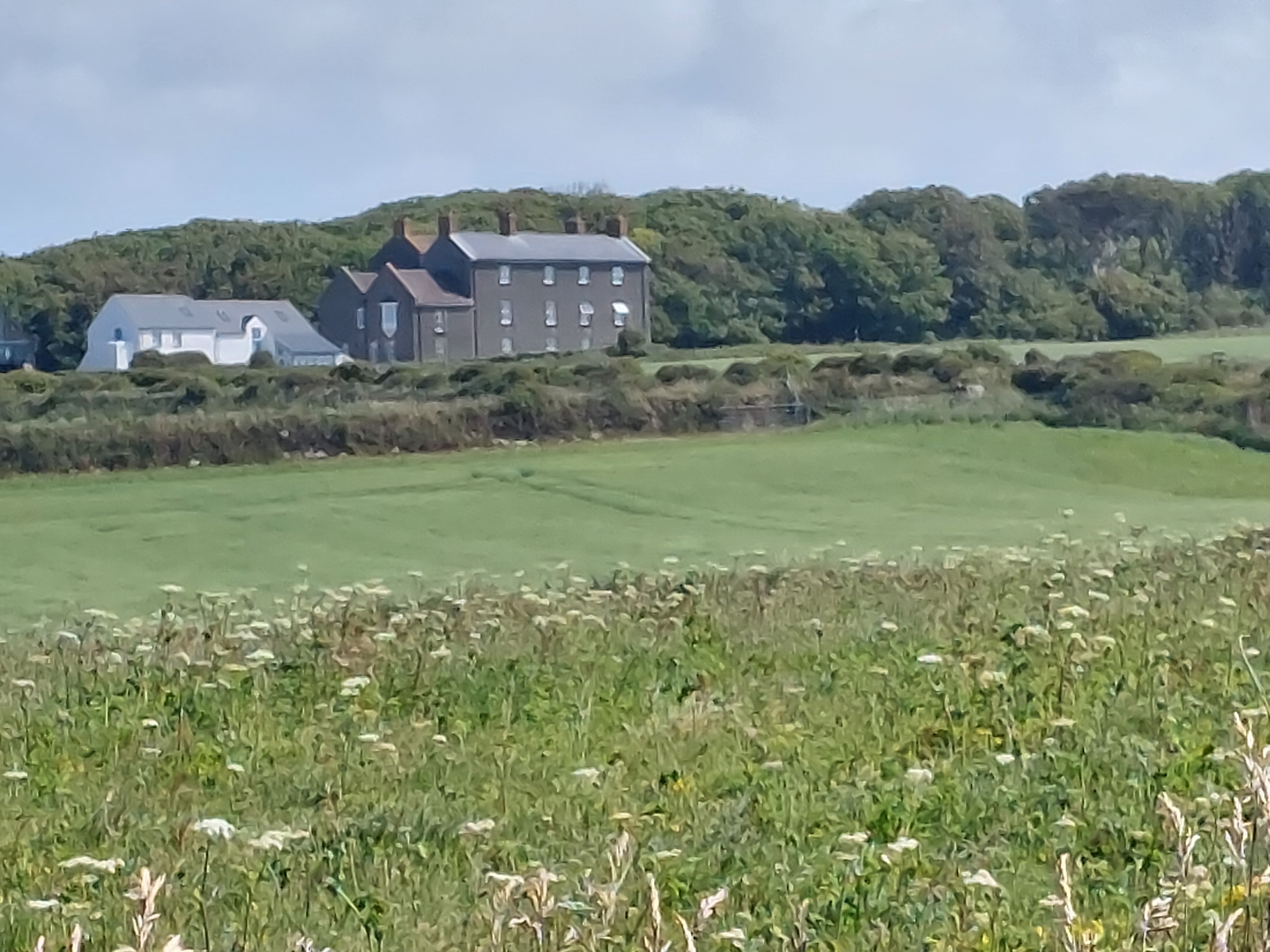
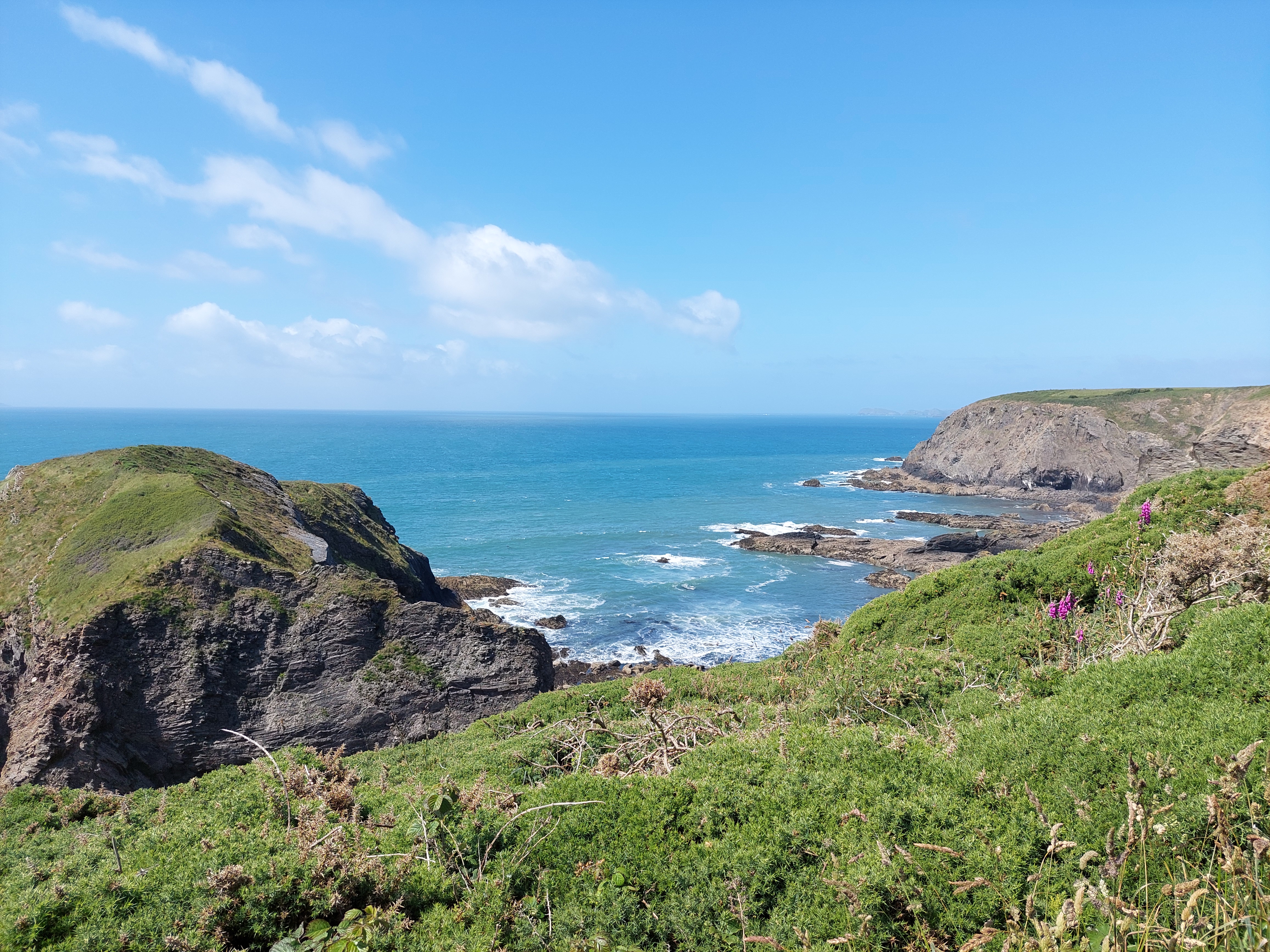
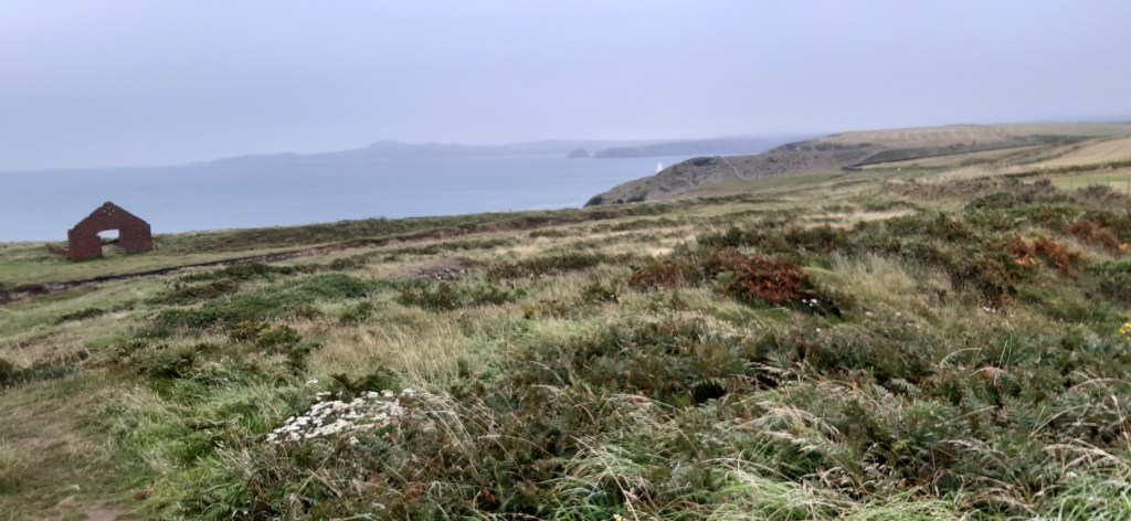
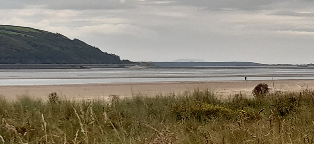
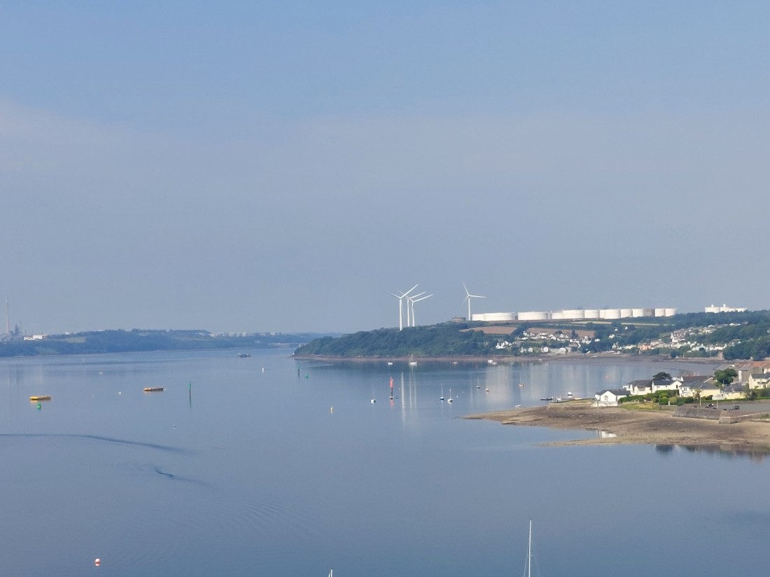
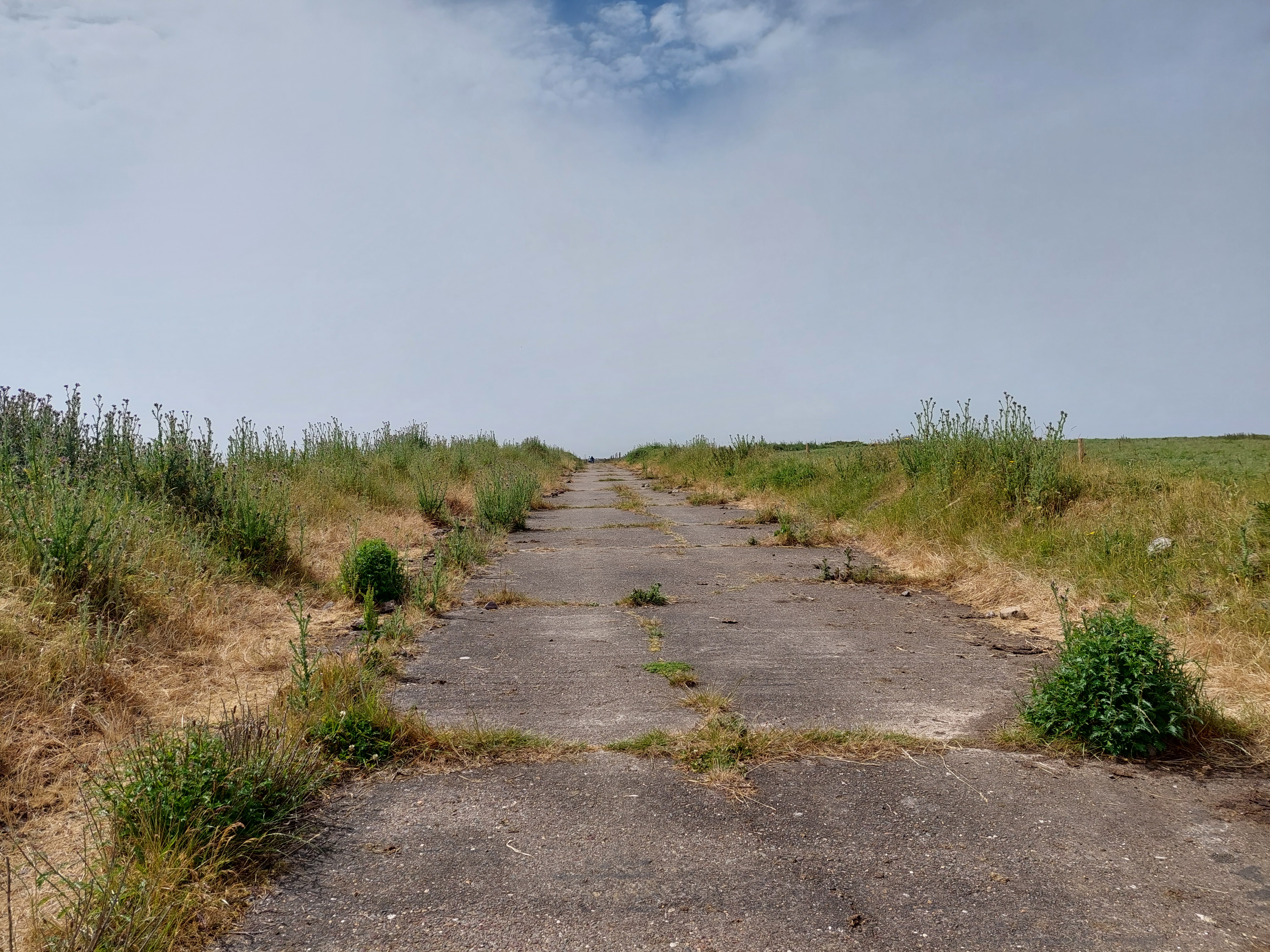
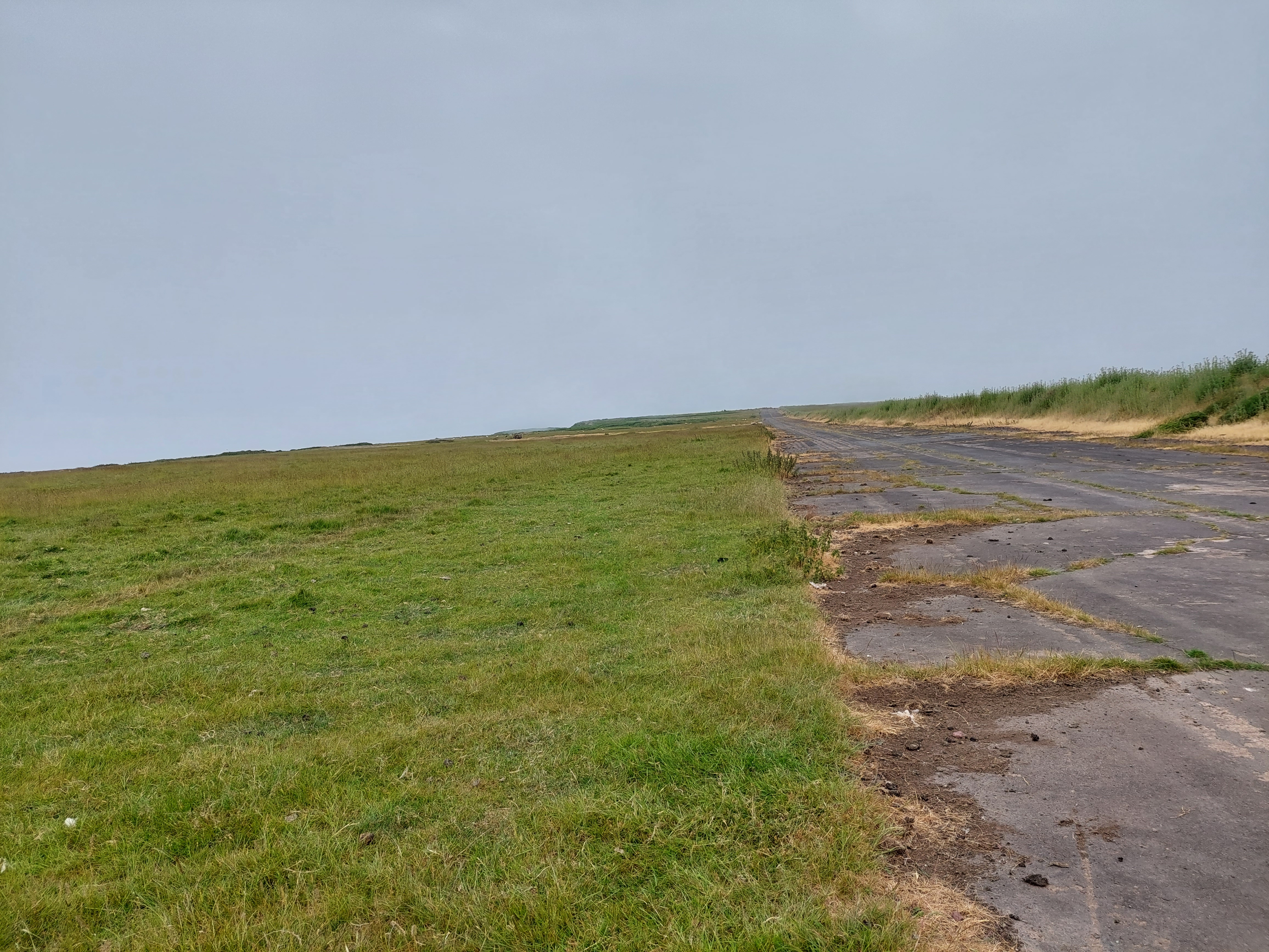
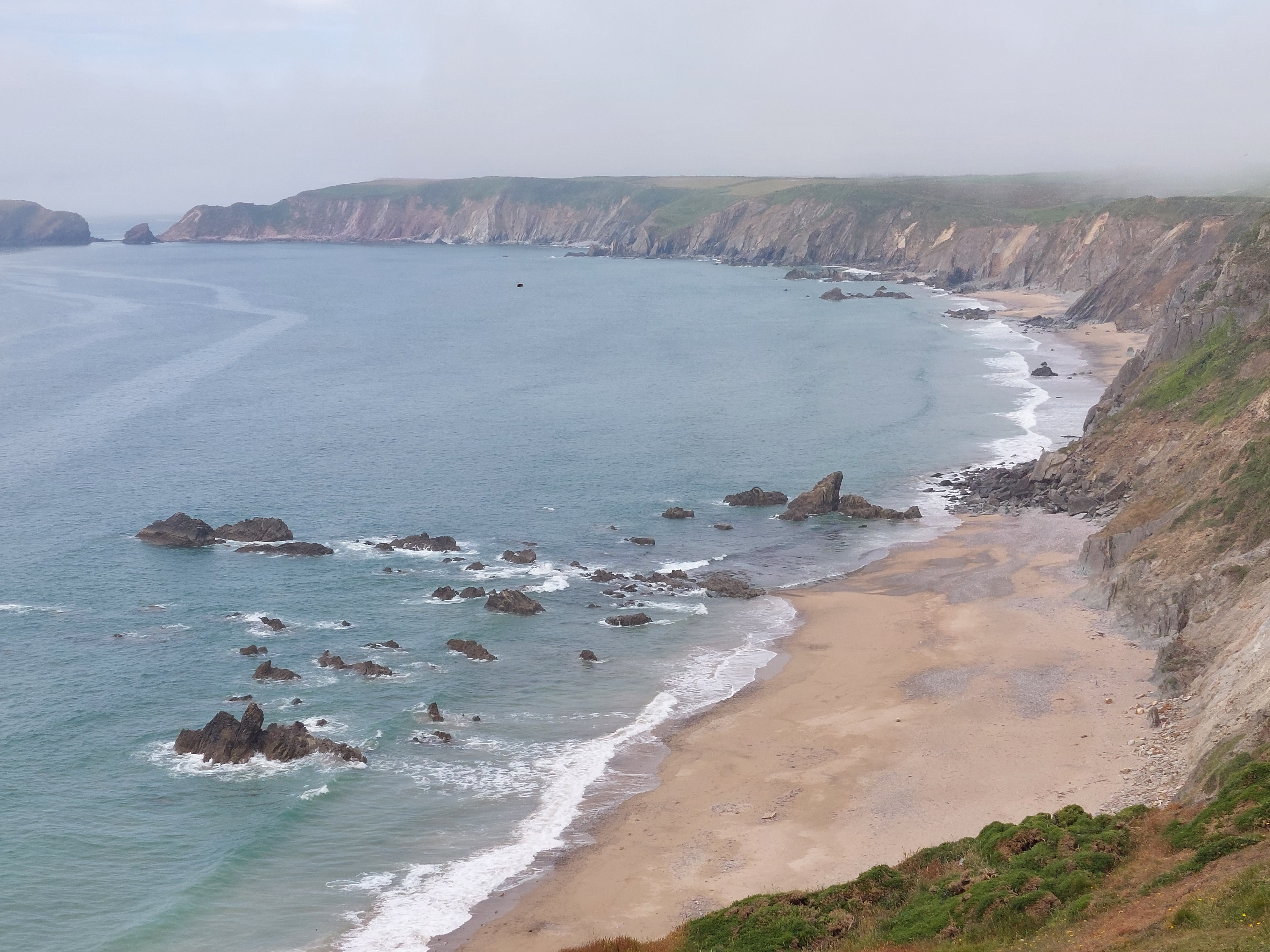
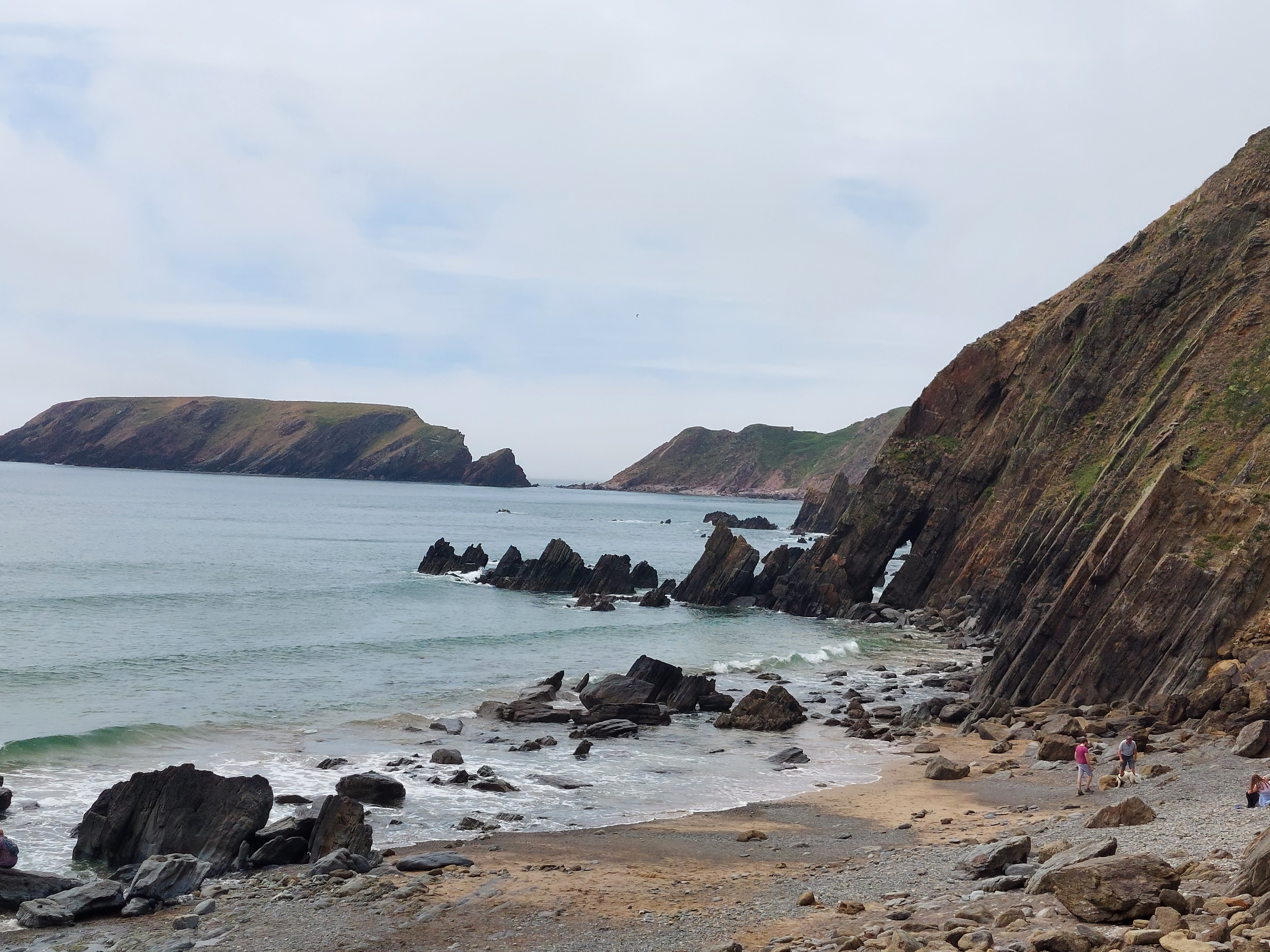
The misty conditions made the state of the airfield all the more forlorn. Just me, the sheep and the hard standing slowly crumbling! It was a bit eerie but easy walking! I realised as I was going that the coast path was a stones throw away (and had seen someone sitting on a bench which turned out to feature later!).

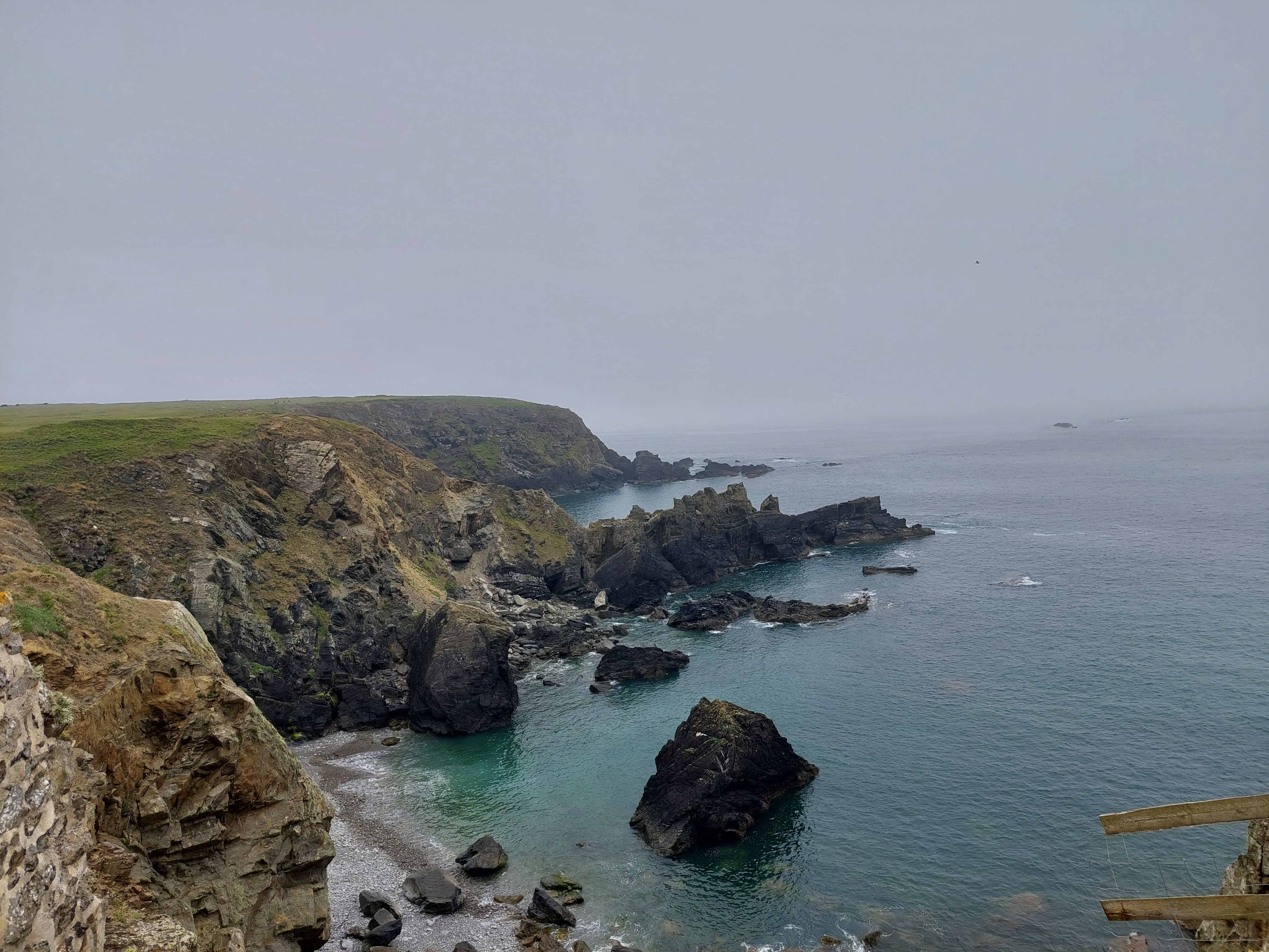
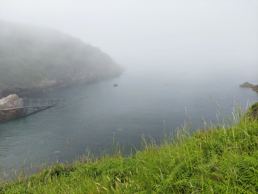
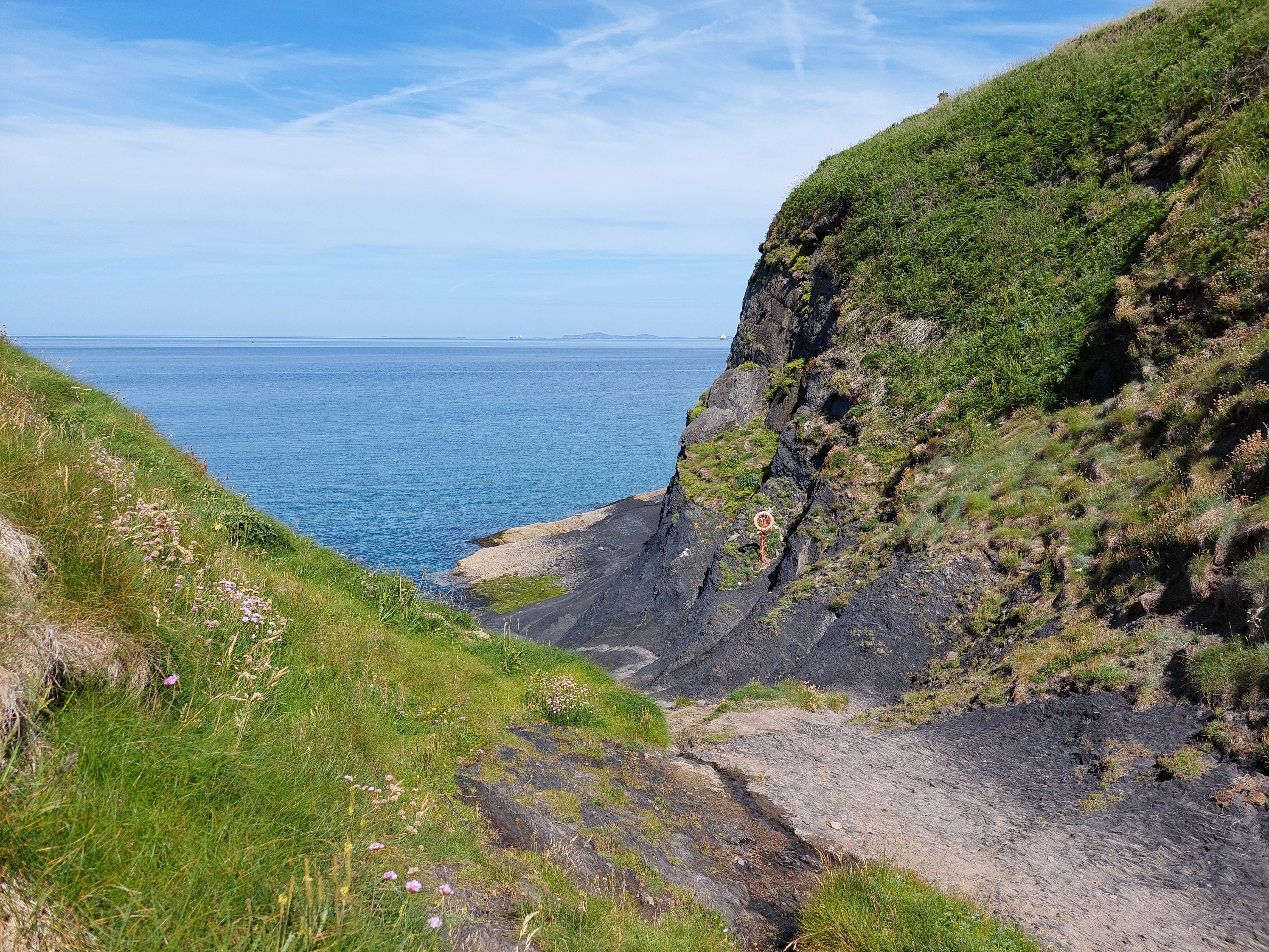
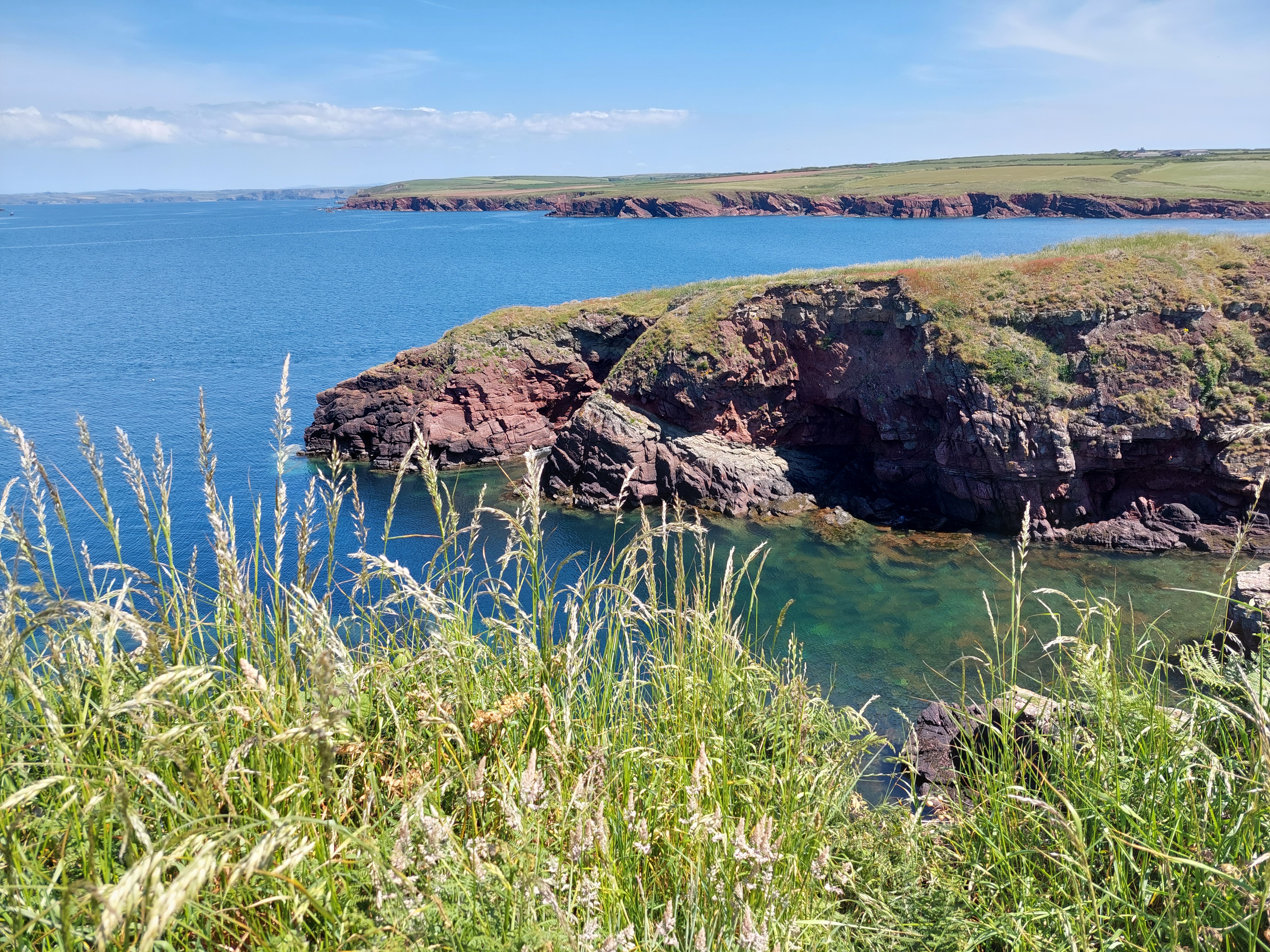
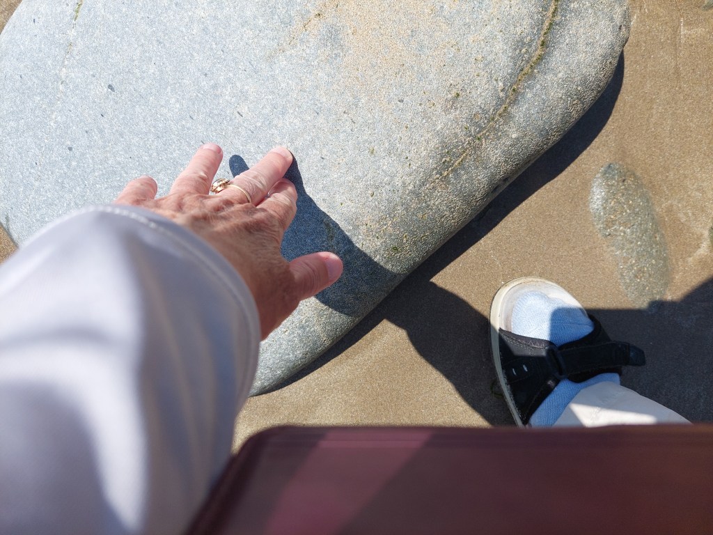
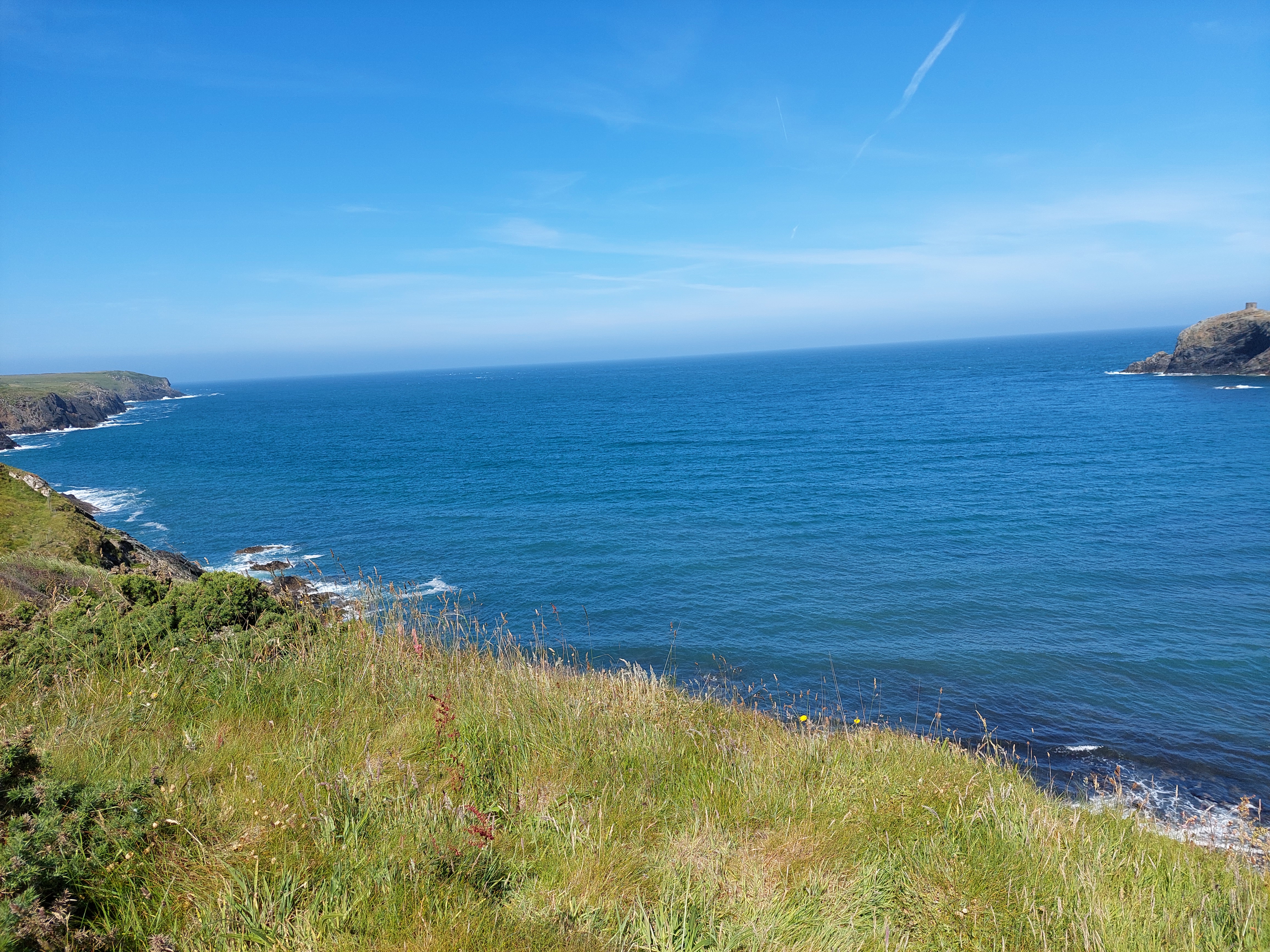
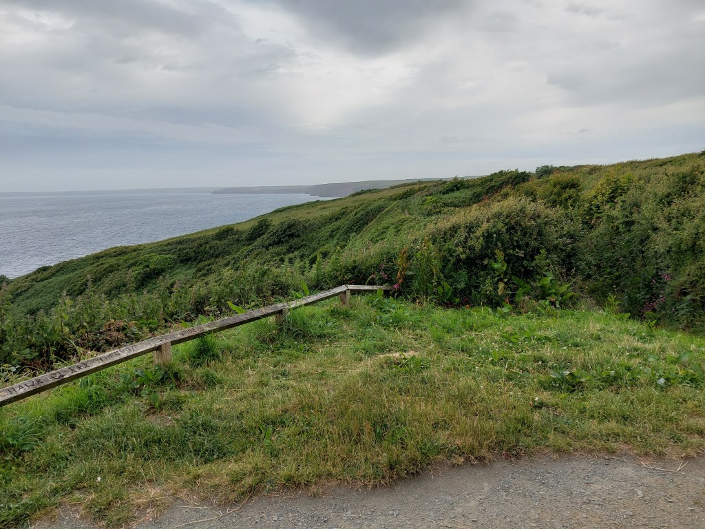
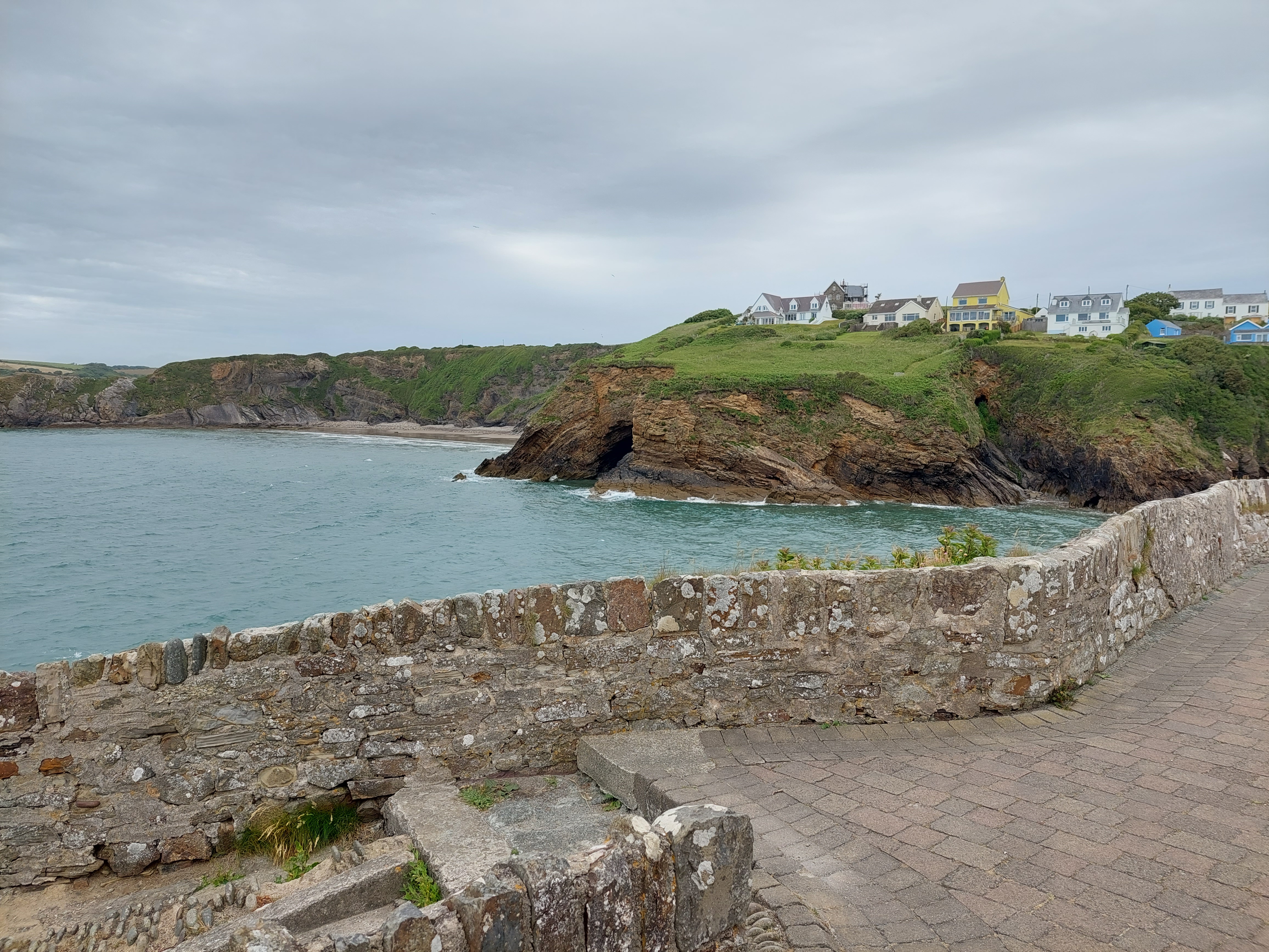
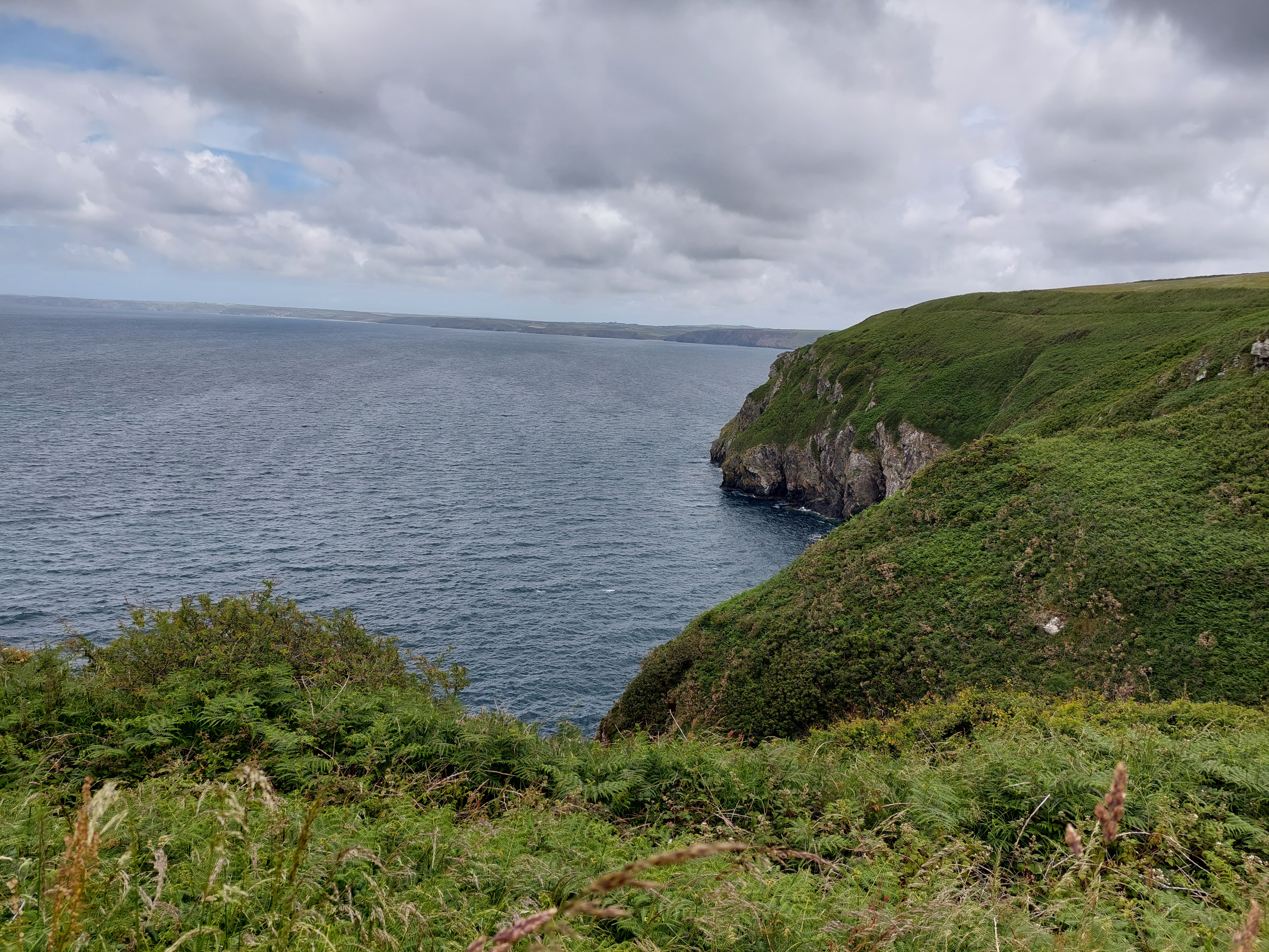
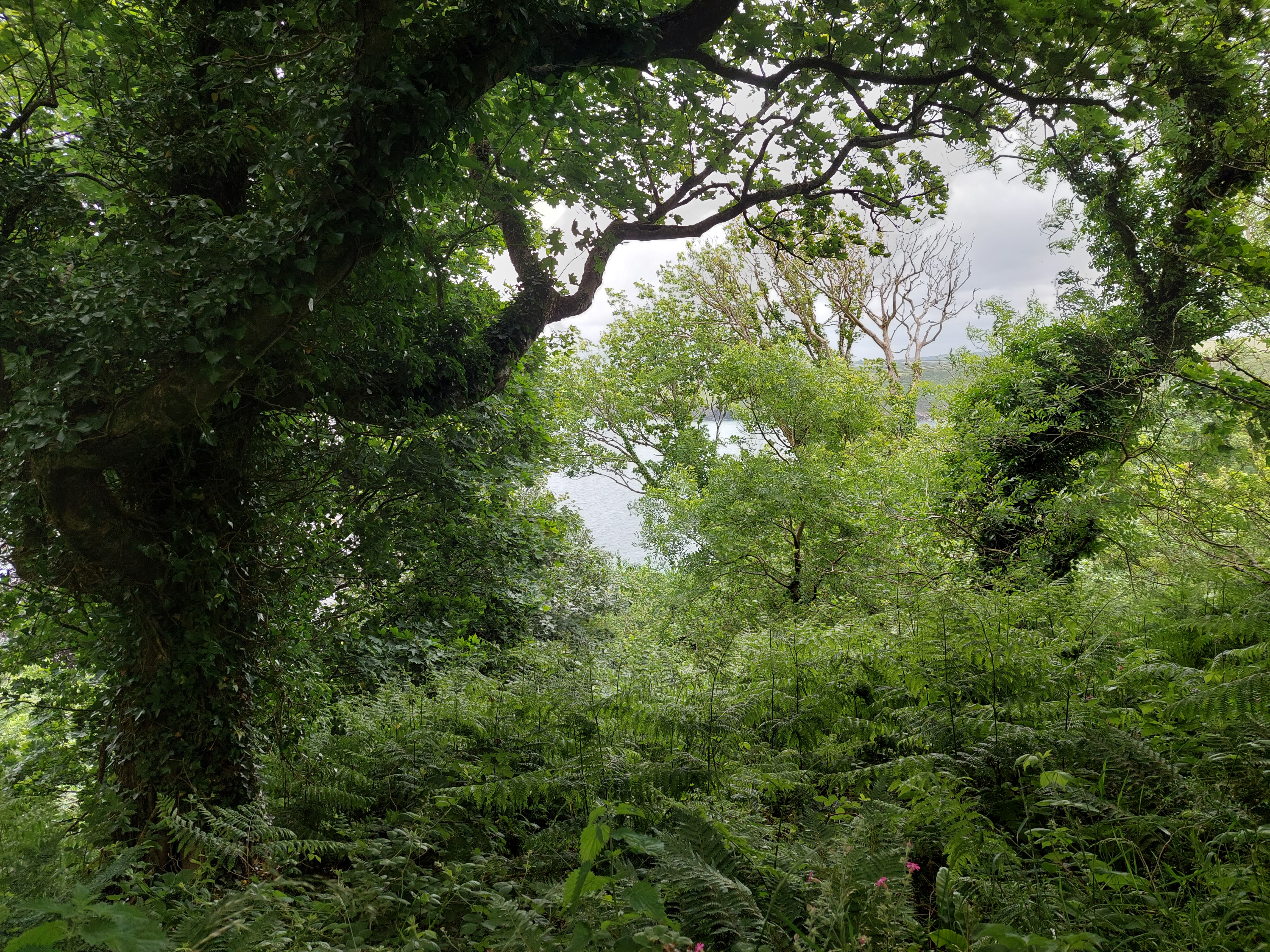
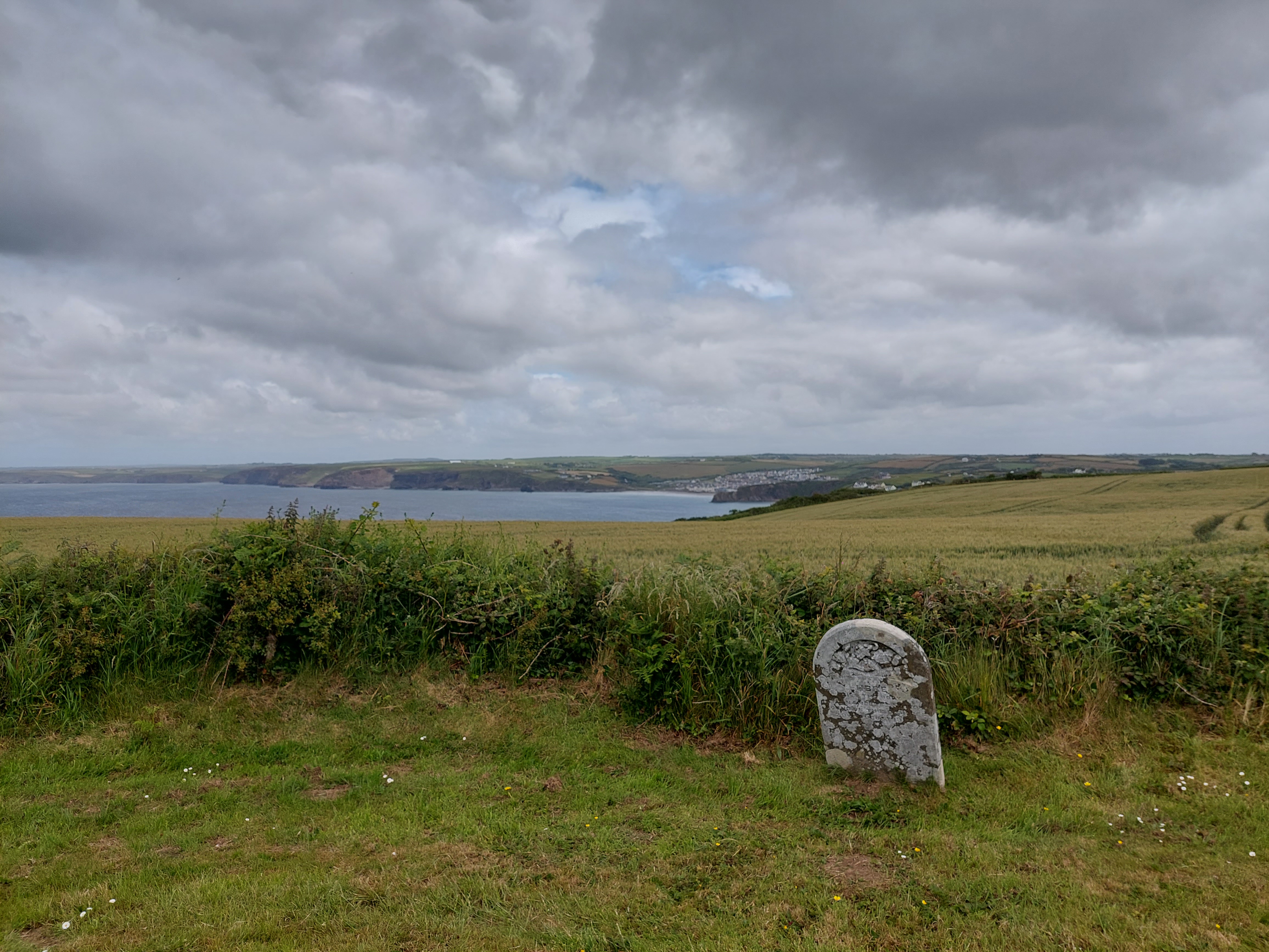
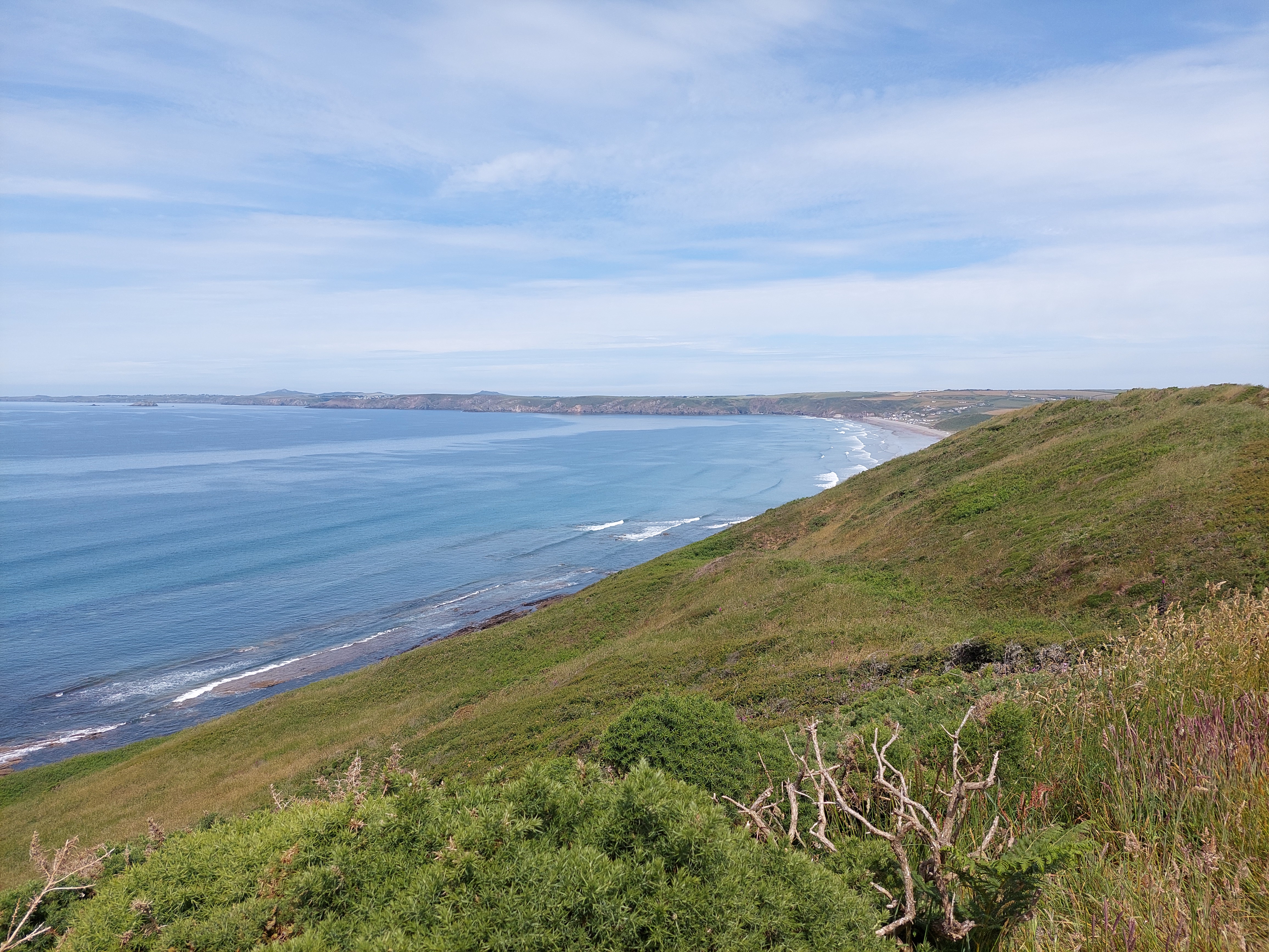
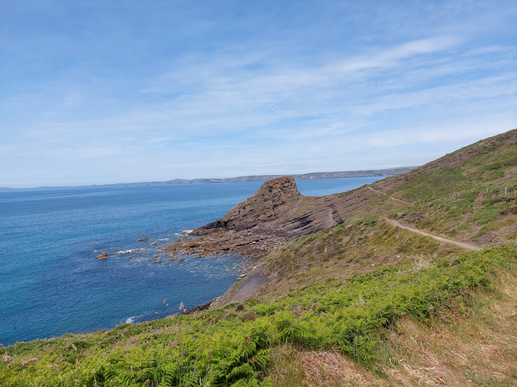
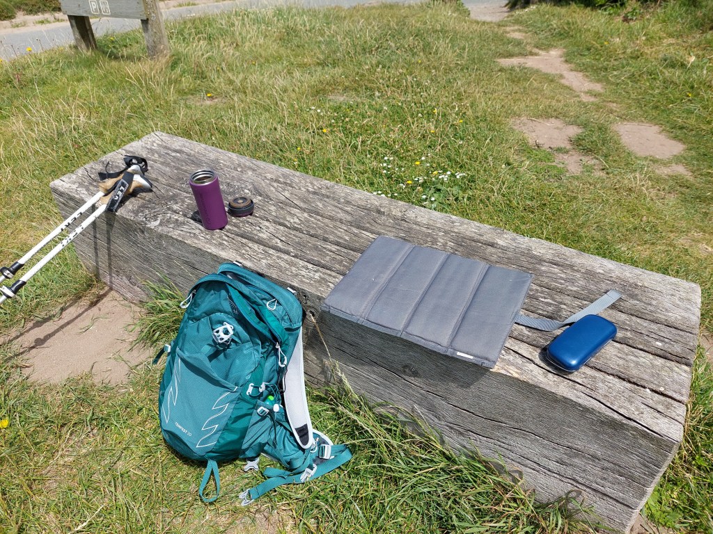
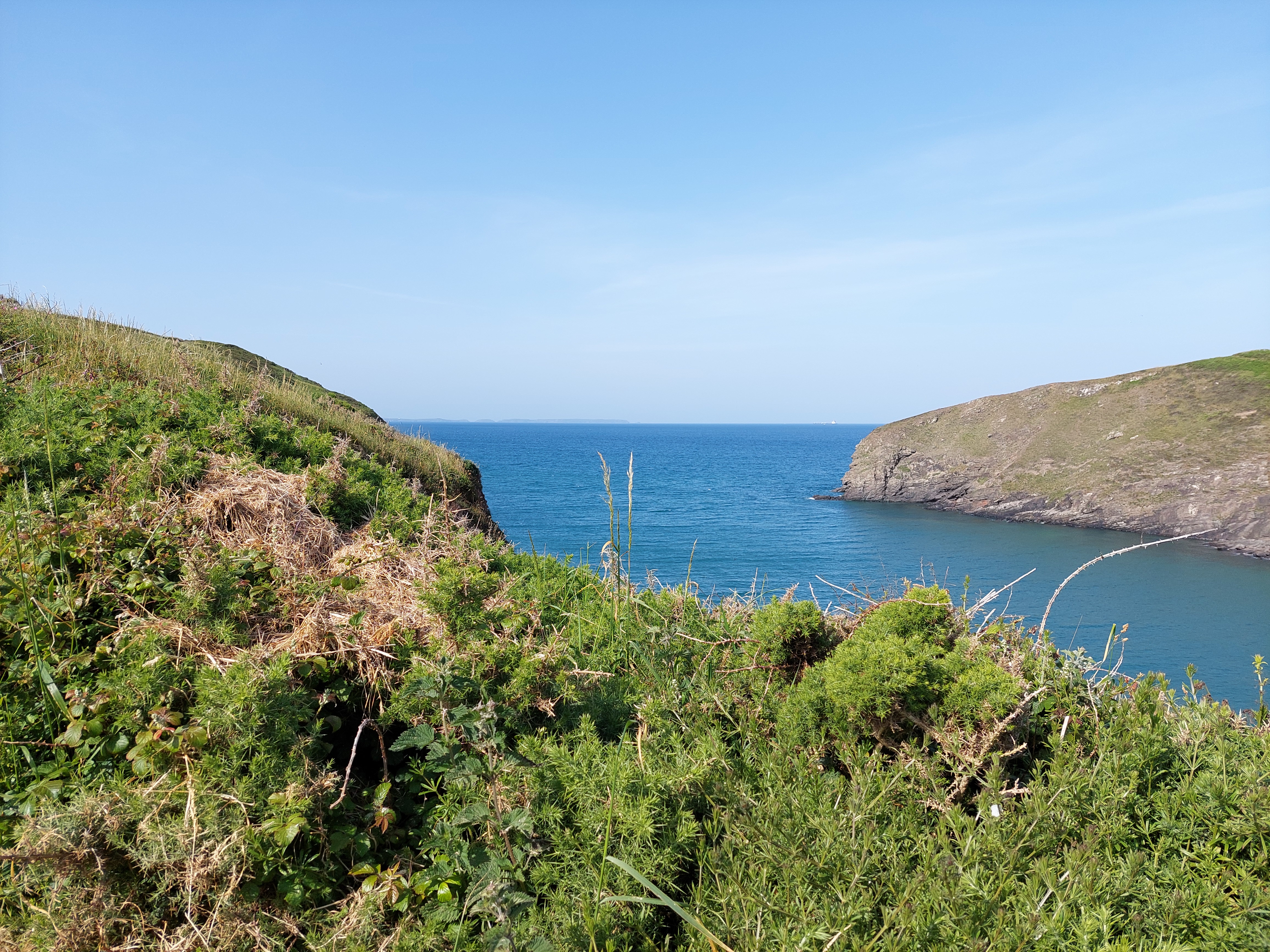
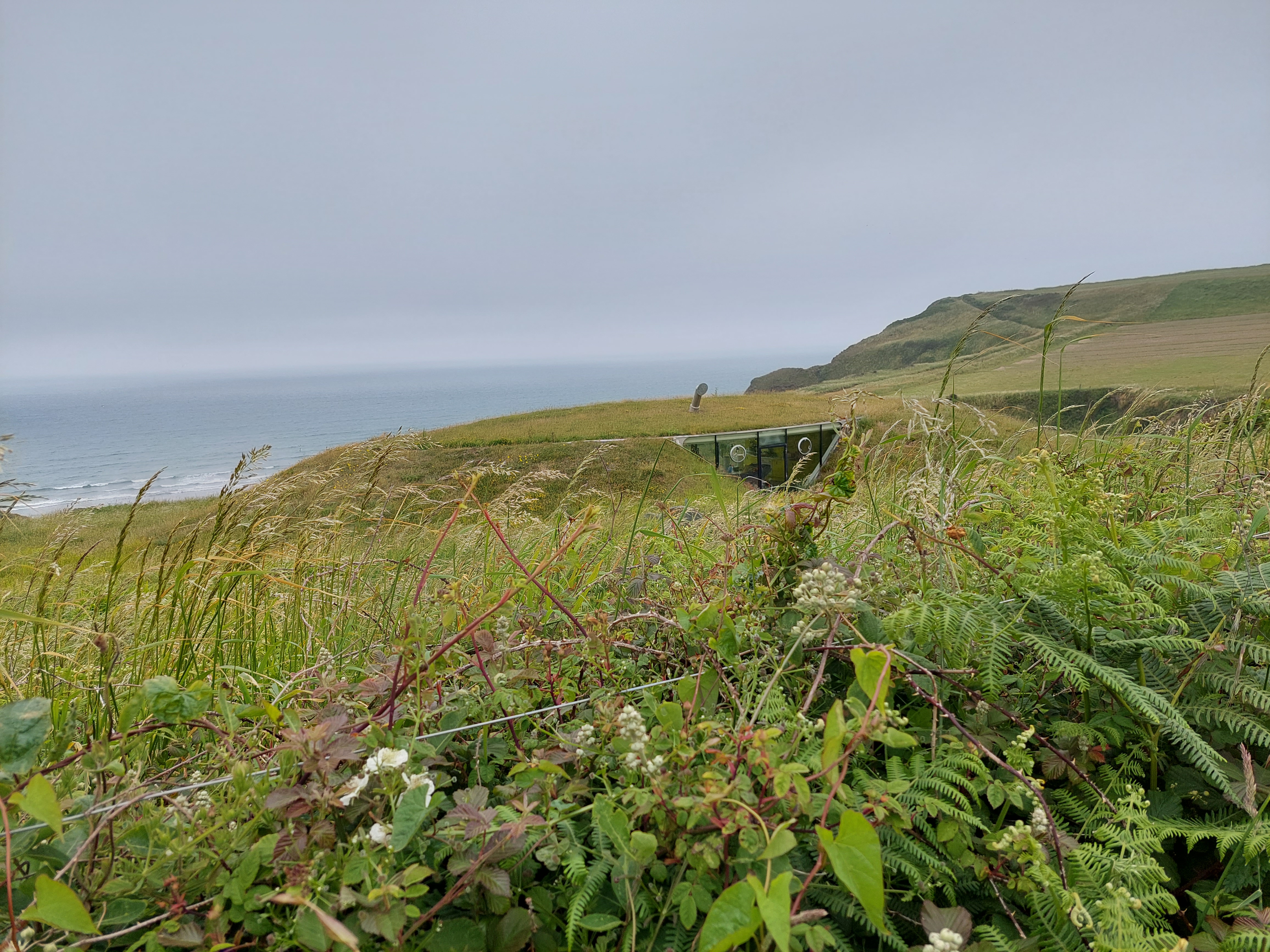
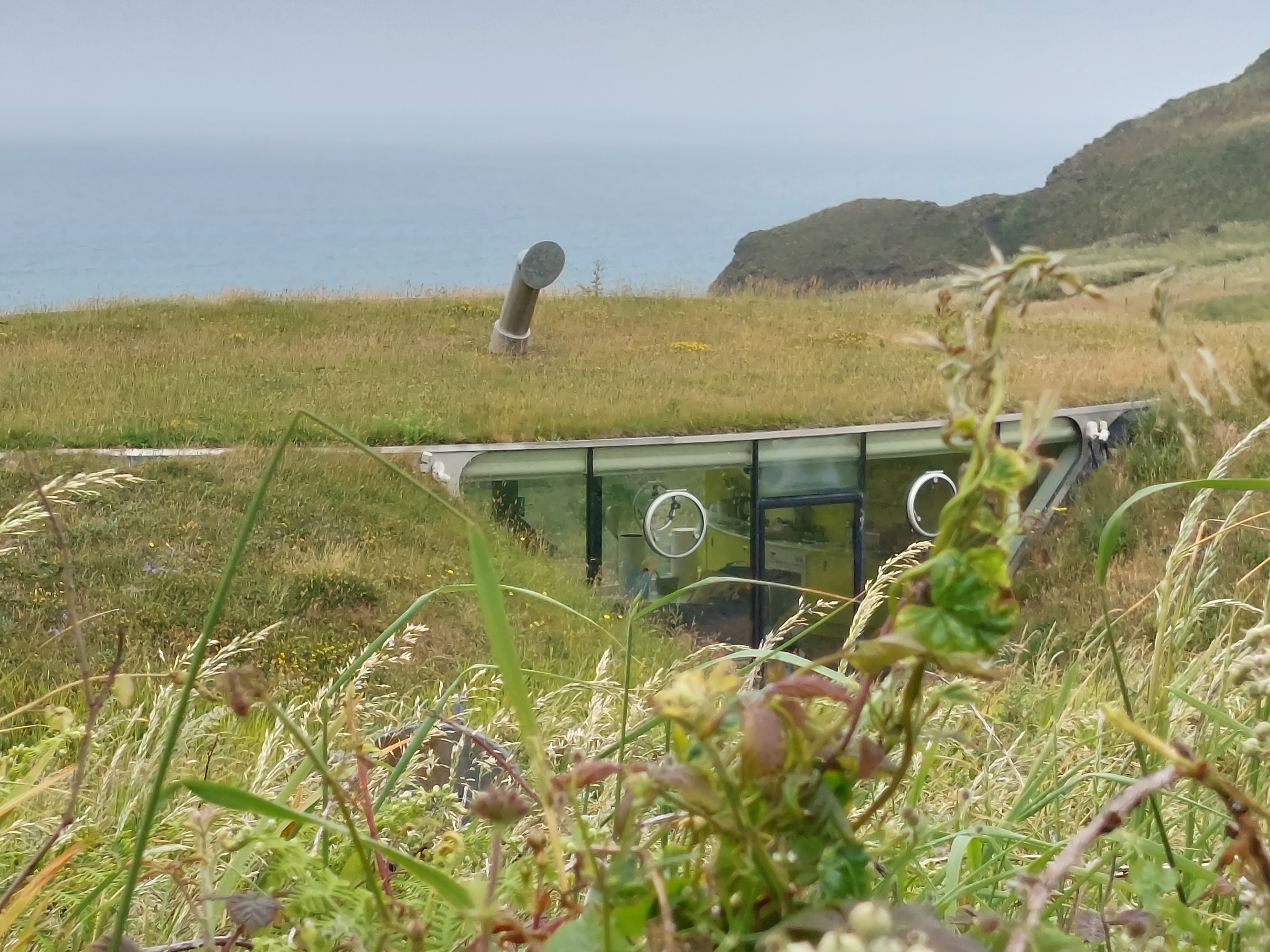
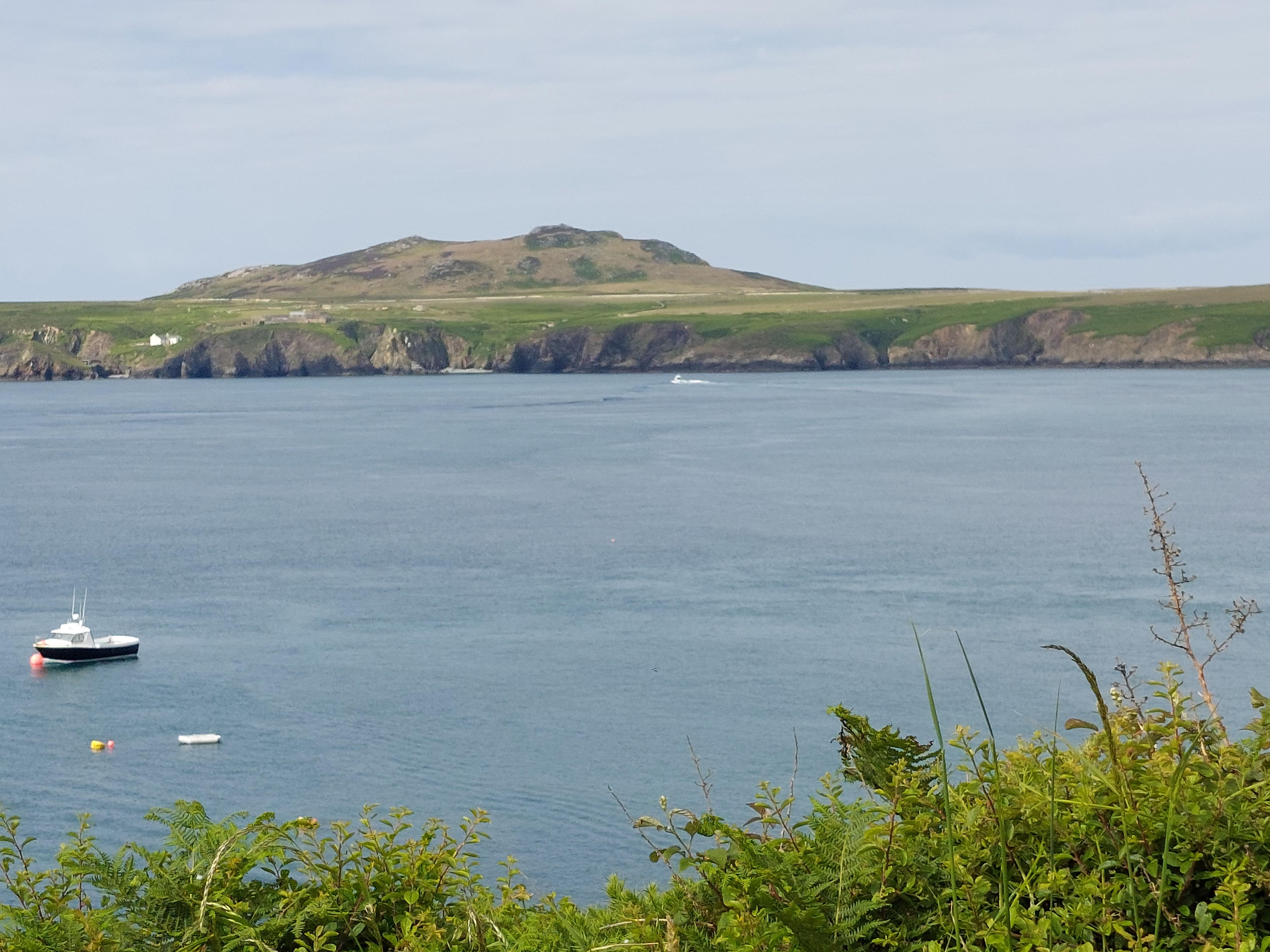
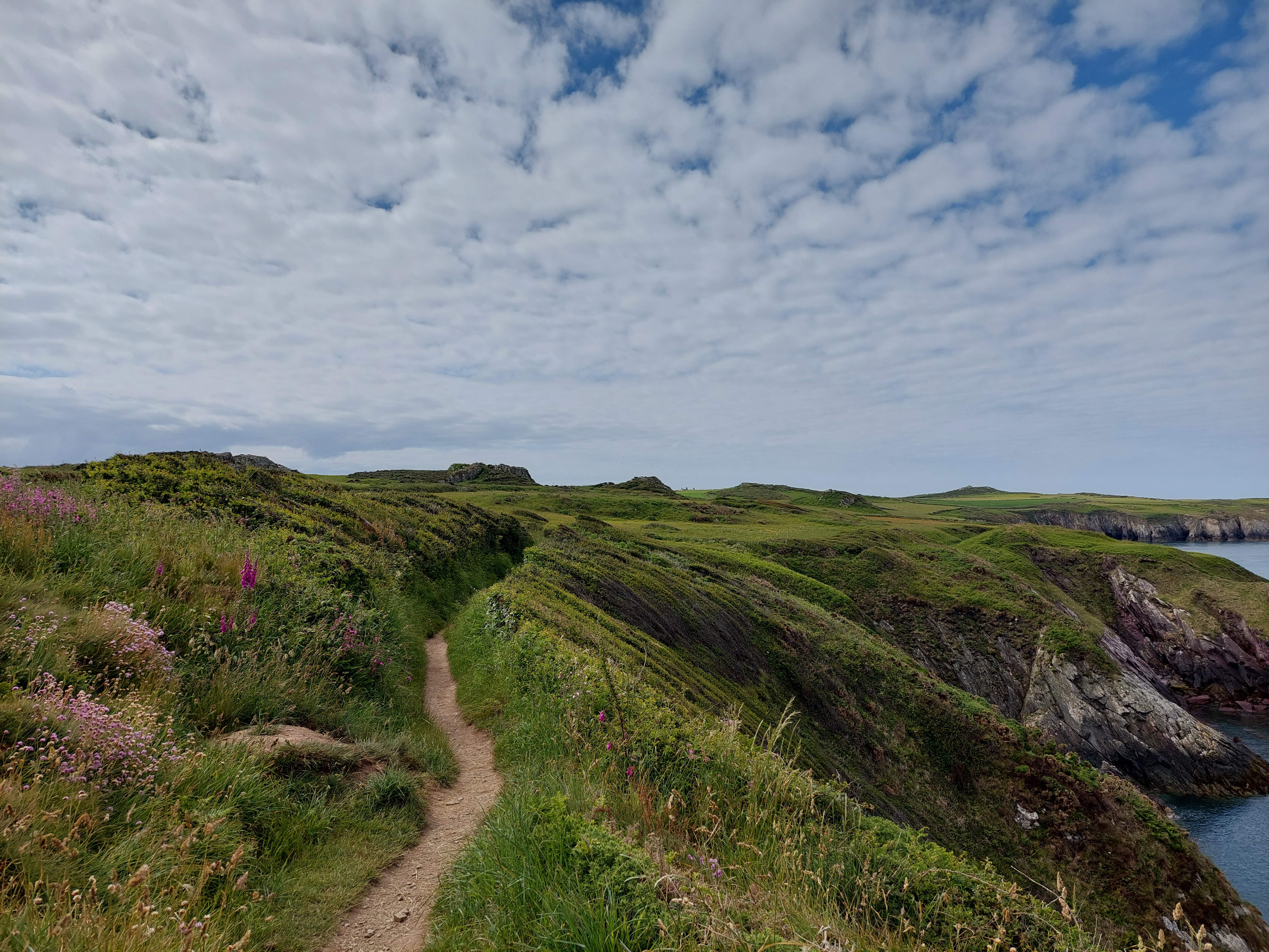
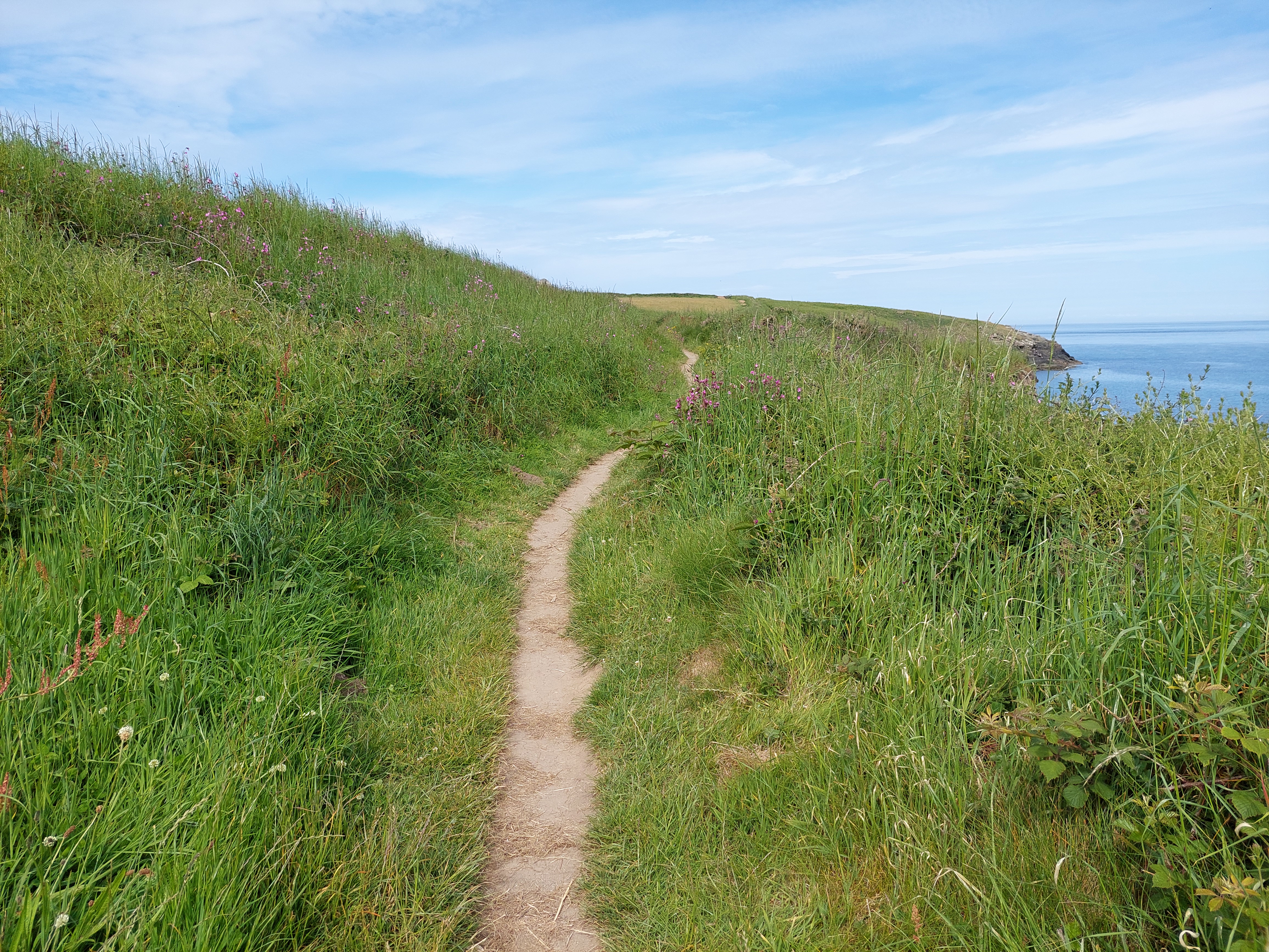
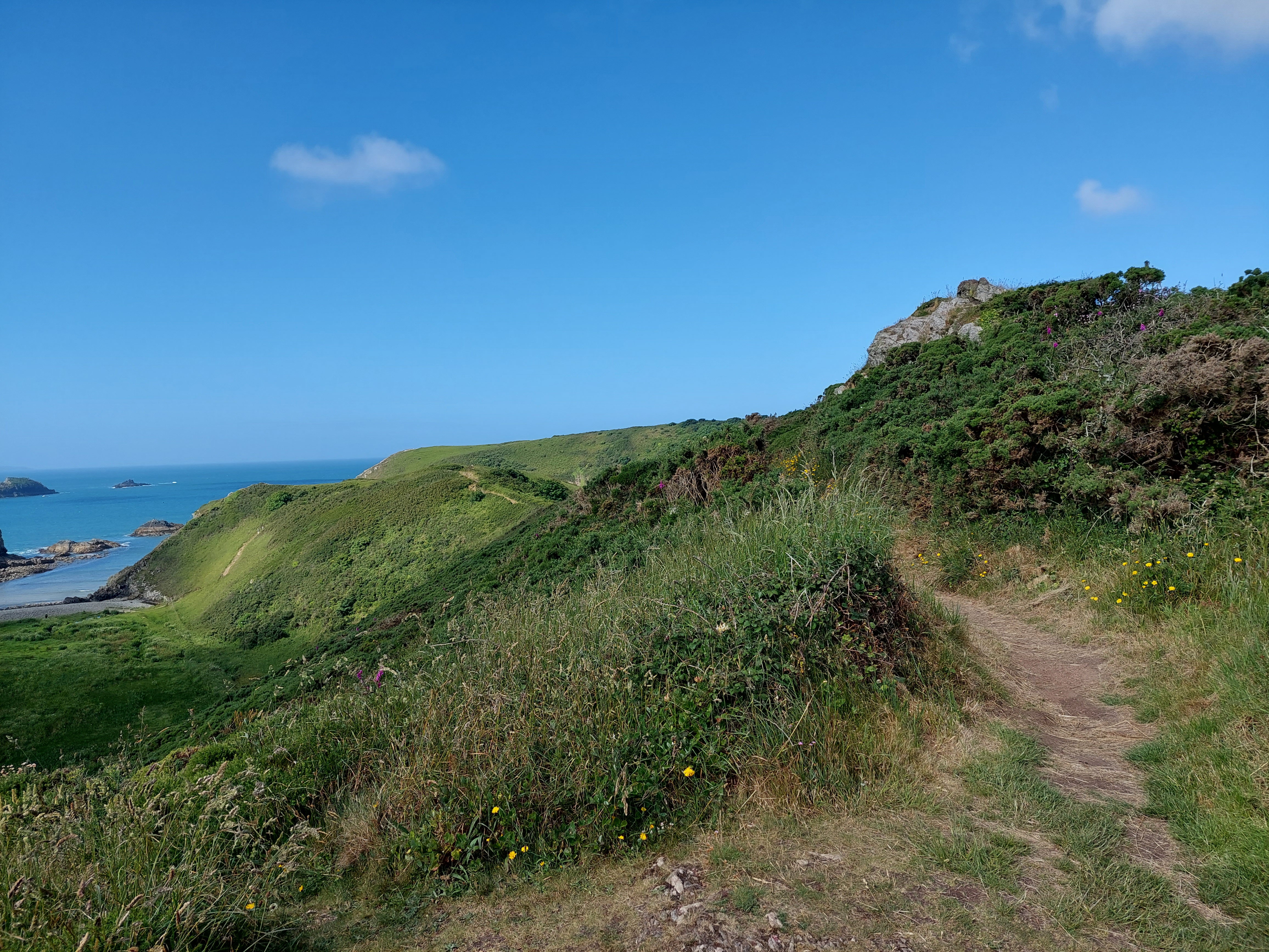
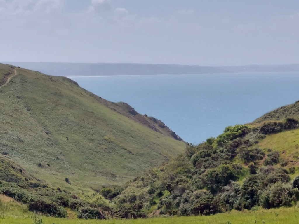
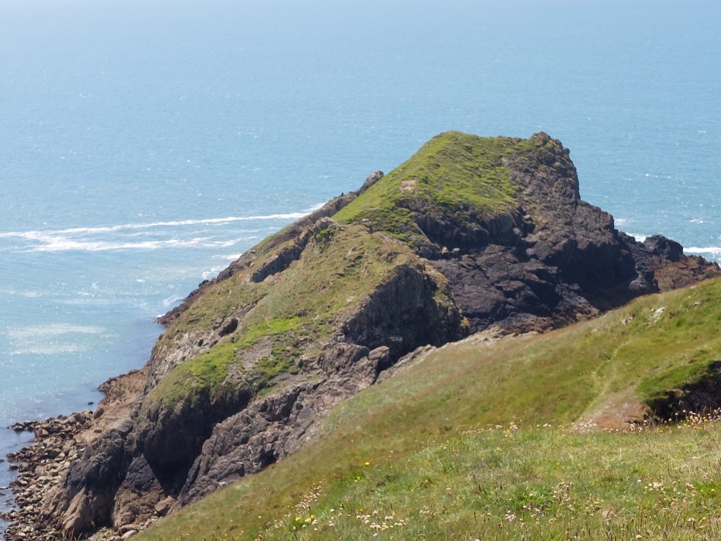
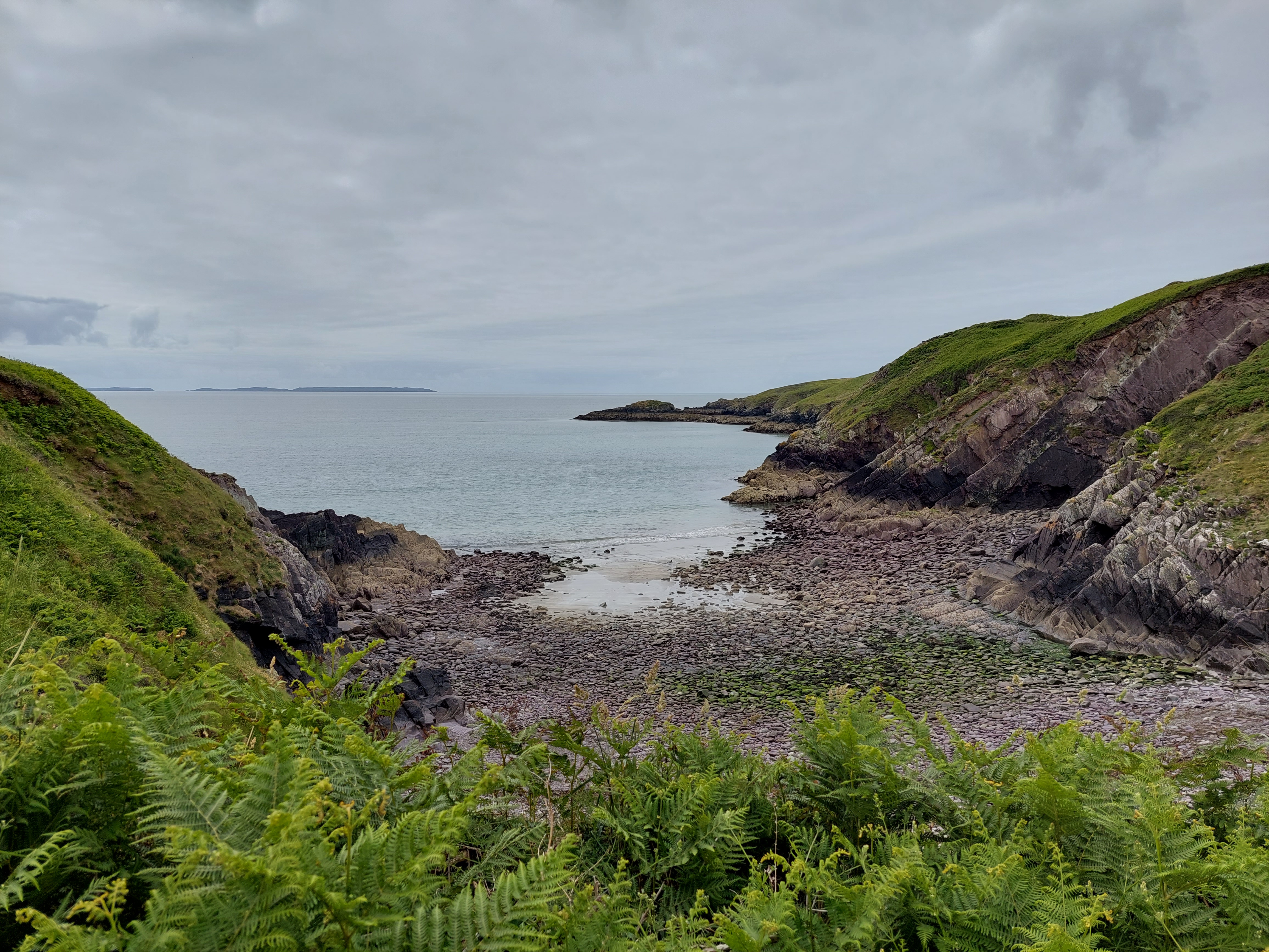
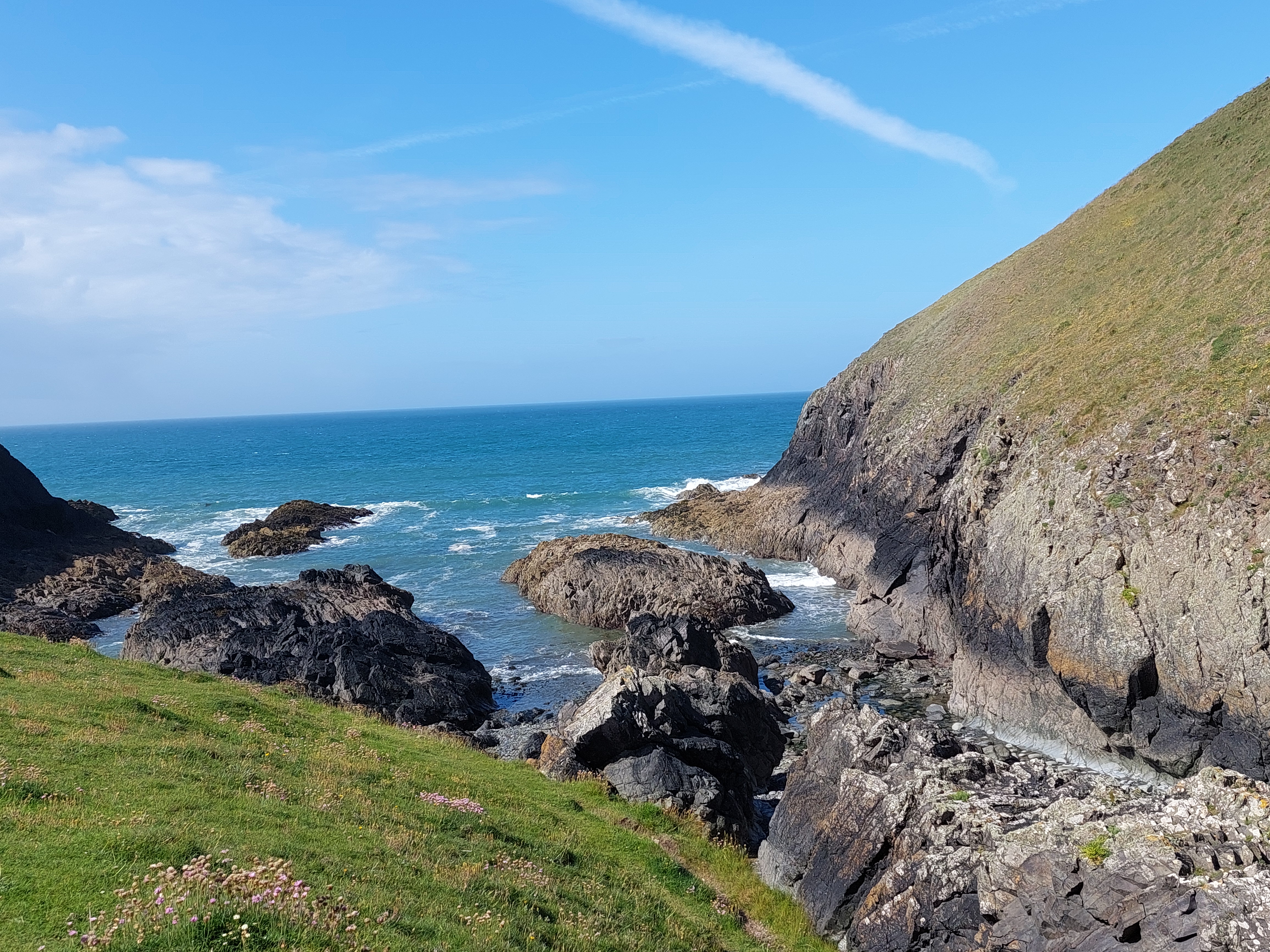
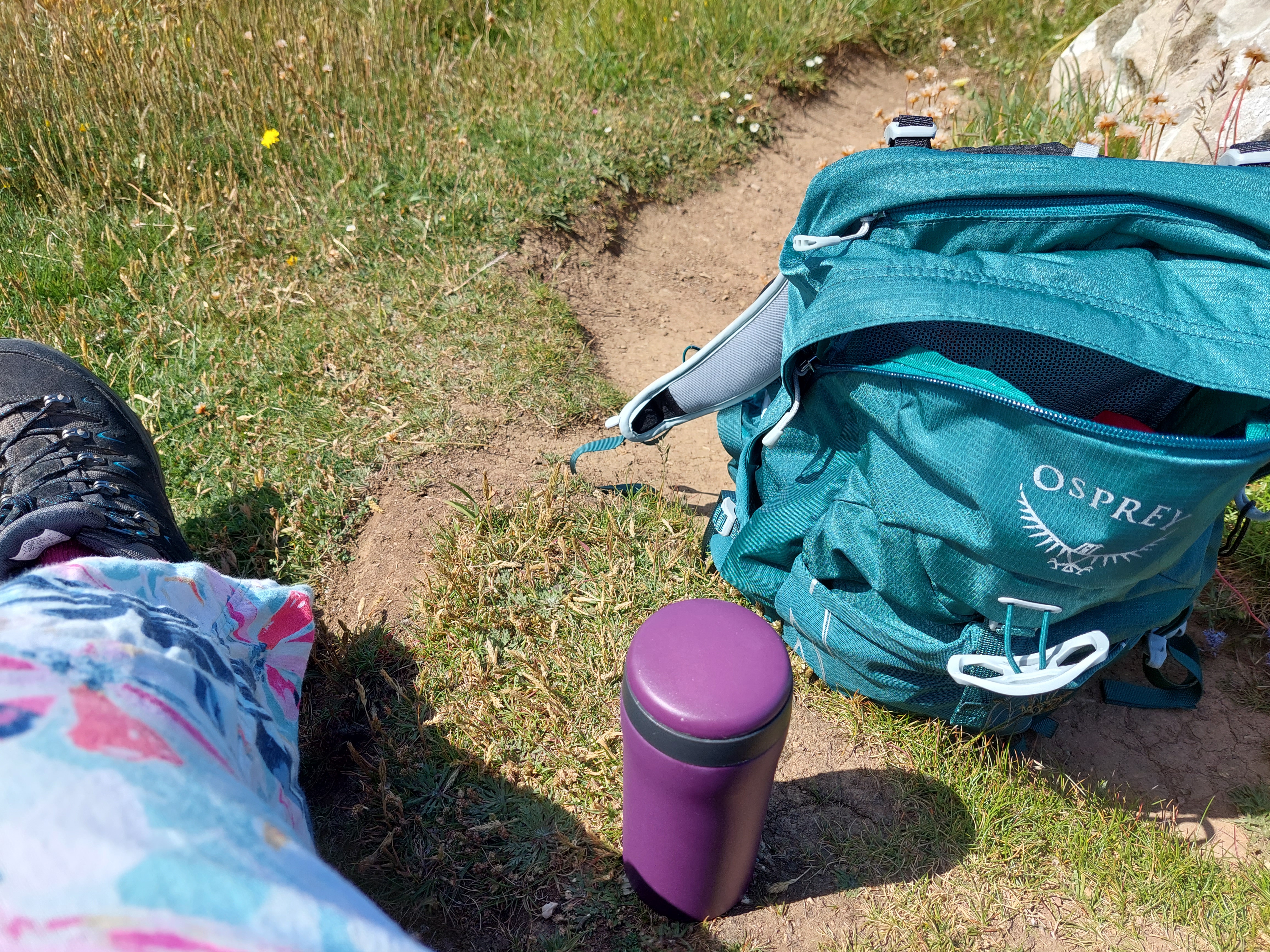
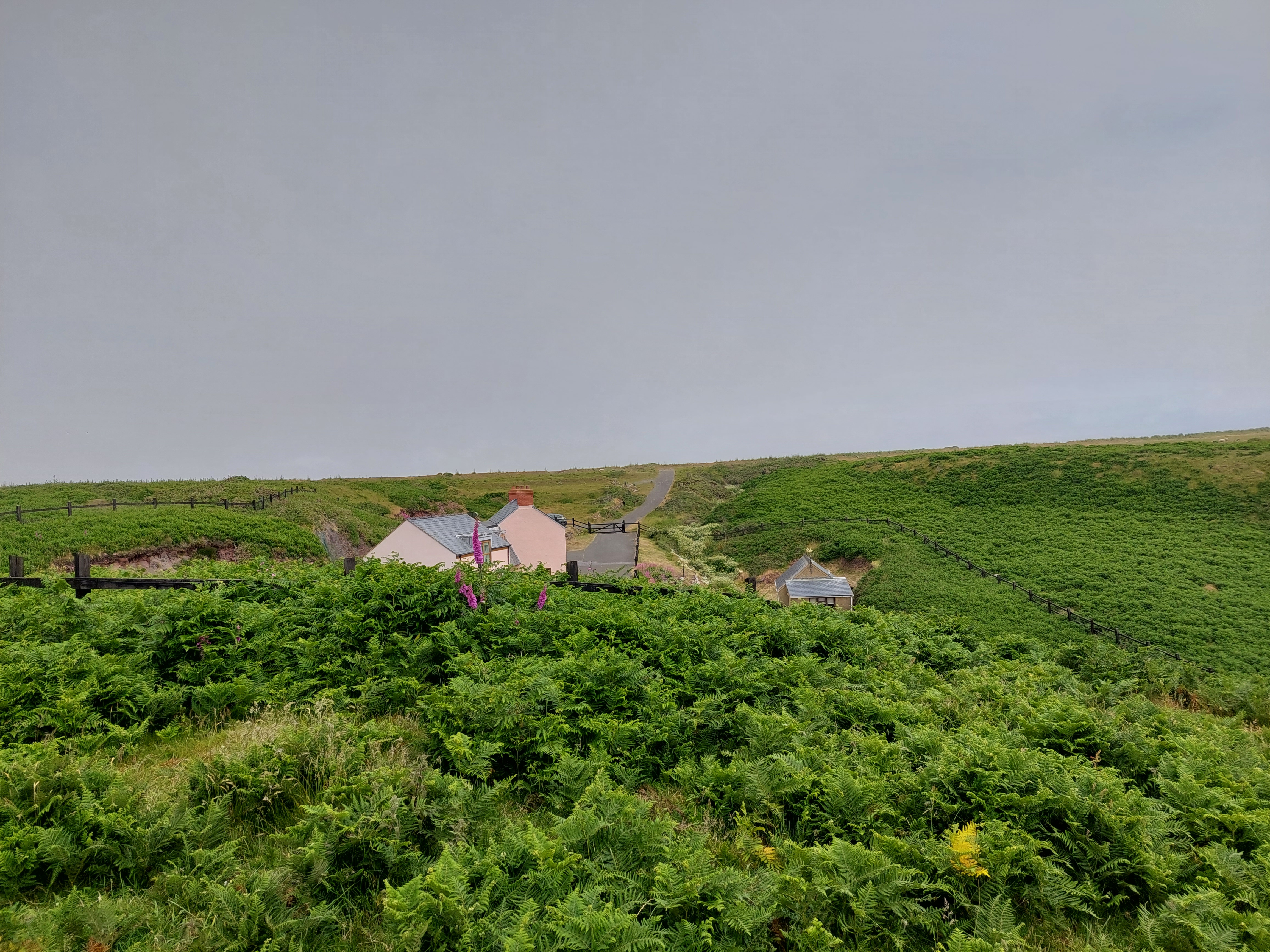
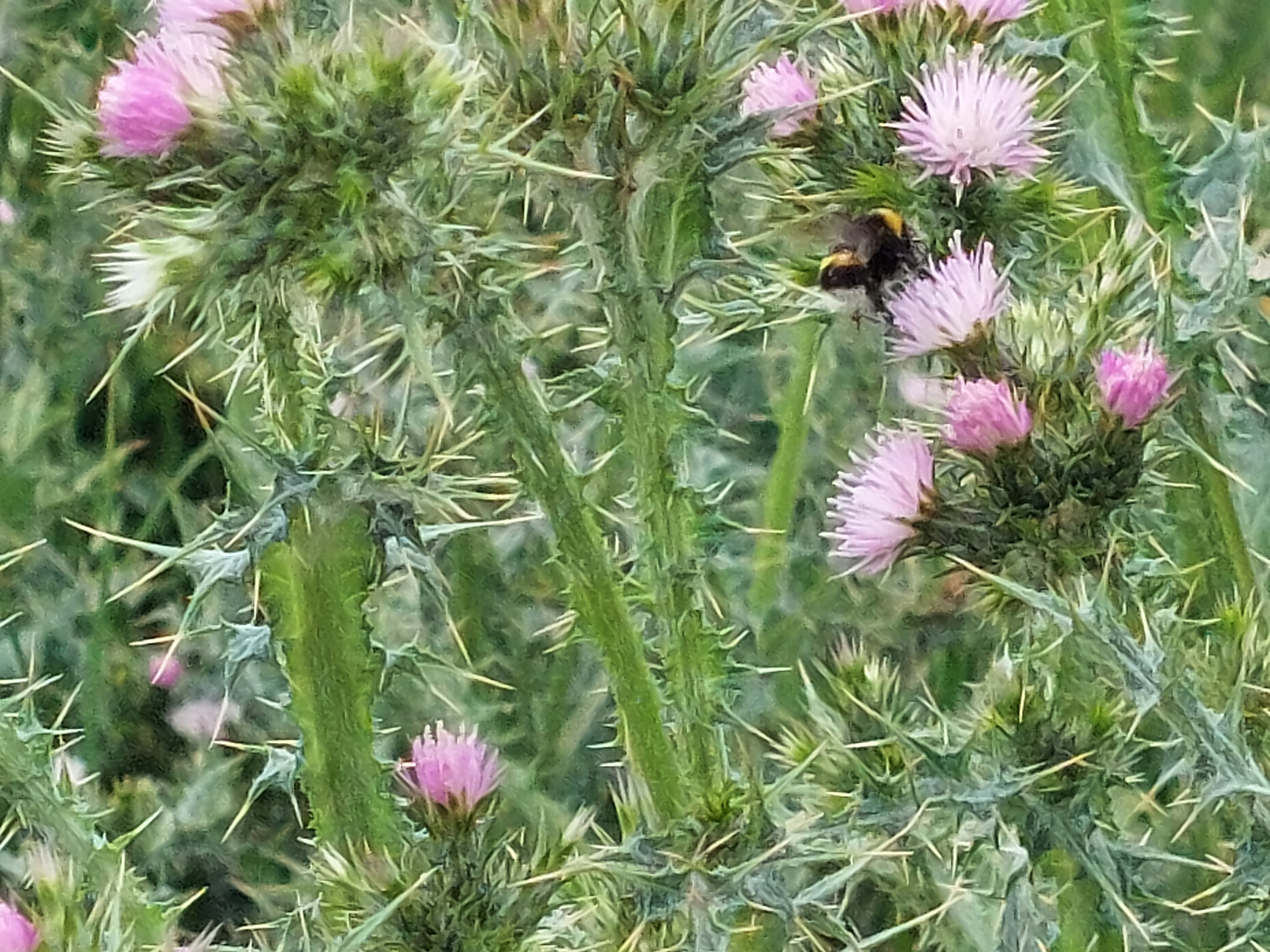
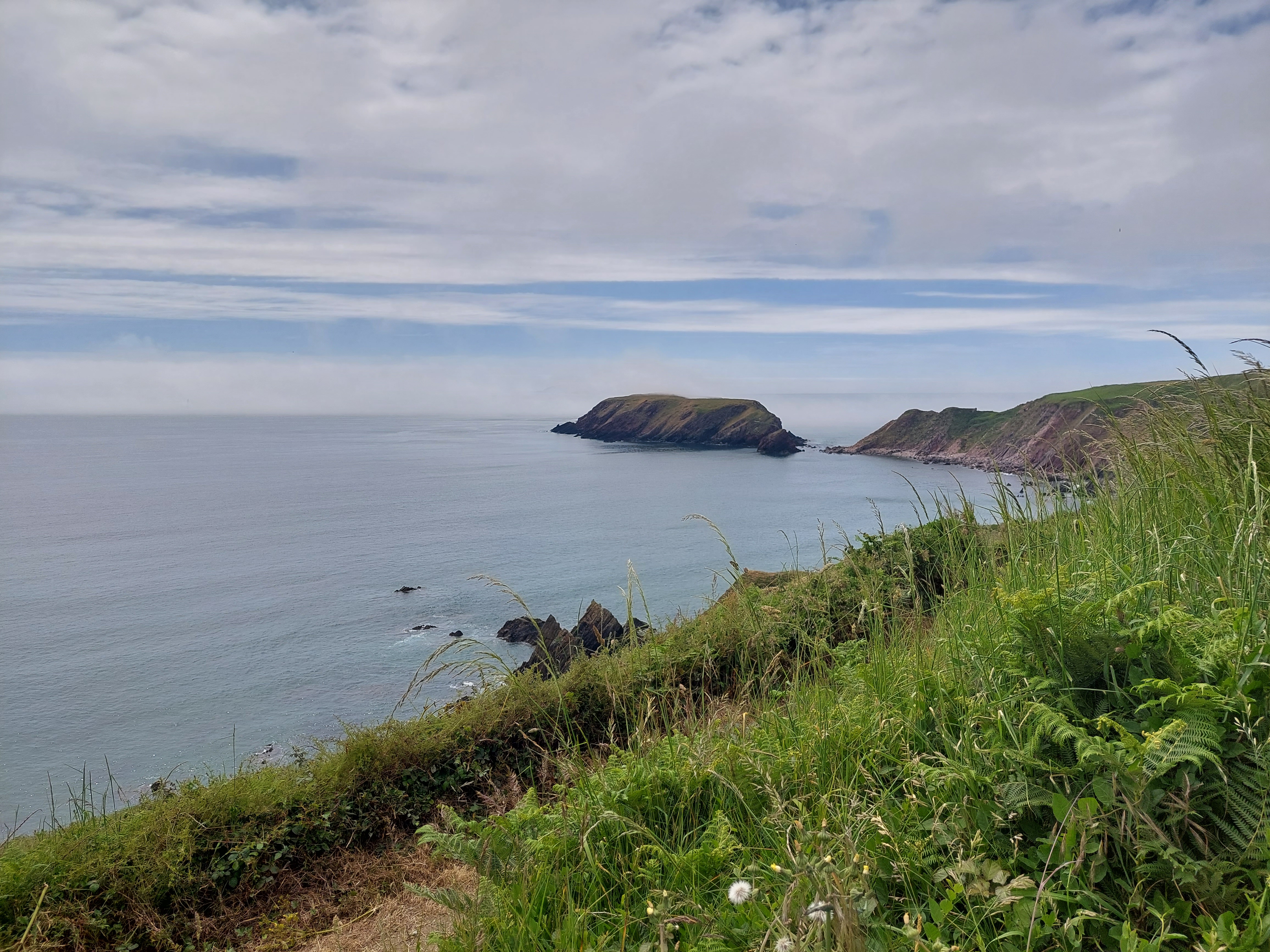
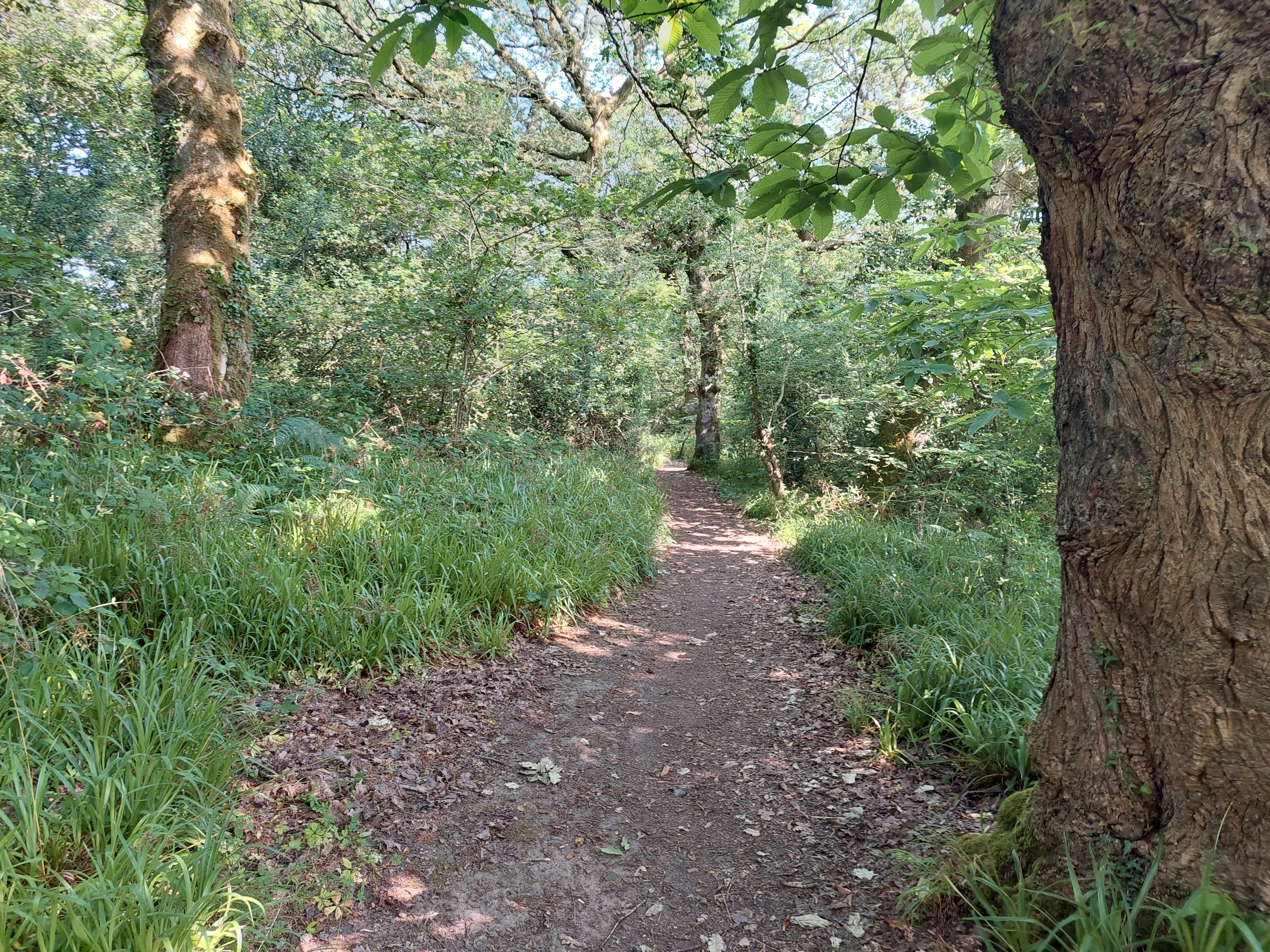
Eventually just above Dale, I cut on to the coast path and established a touching point to take up the trail on another day. I then began to walk back on the coast path – which was delightful easy walking (even if the views were somewhat obscured by the mist). I climbed up and down near the Hookses (a group of pink cottages) and shortly after the ascent found a wall to sit on for a coffee on the trail. I was very conscious not to sit on any more ants nests after yesterday. I admired the bees among the flowers!

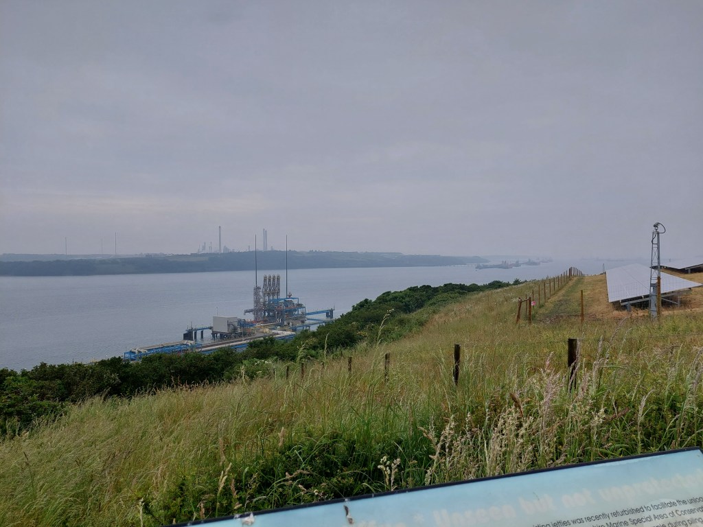
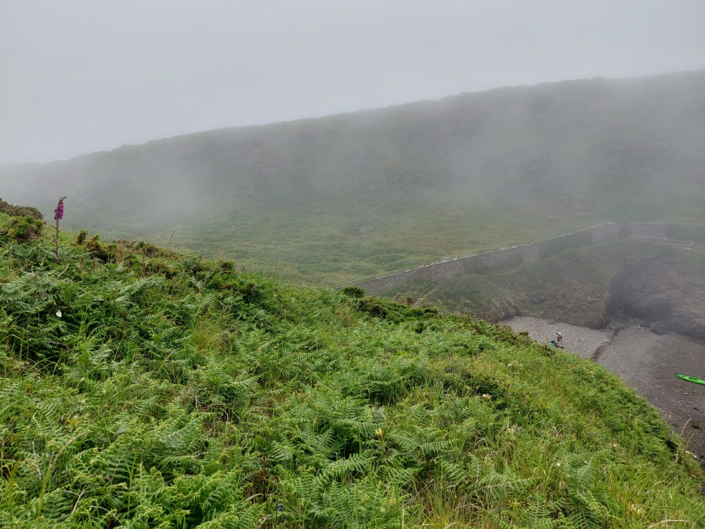
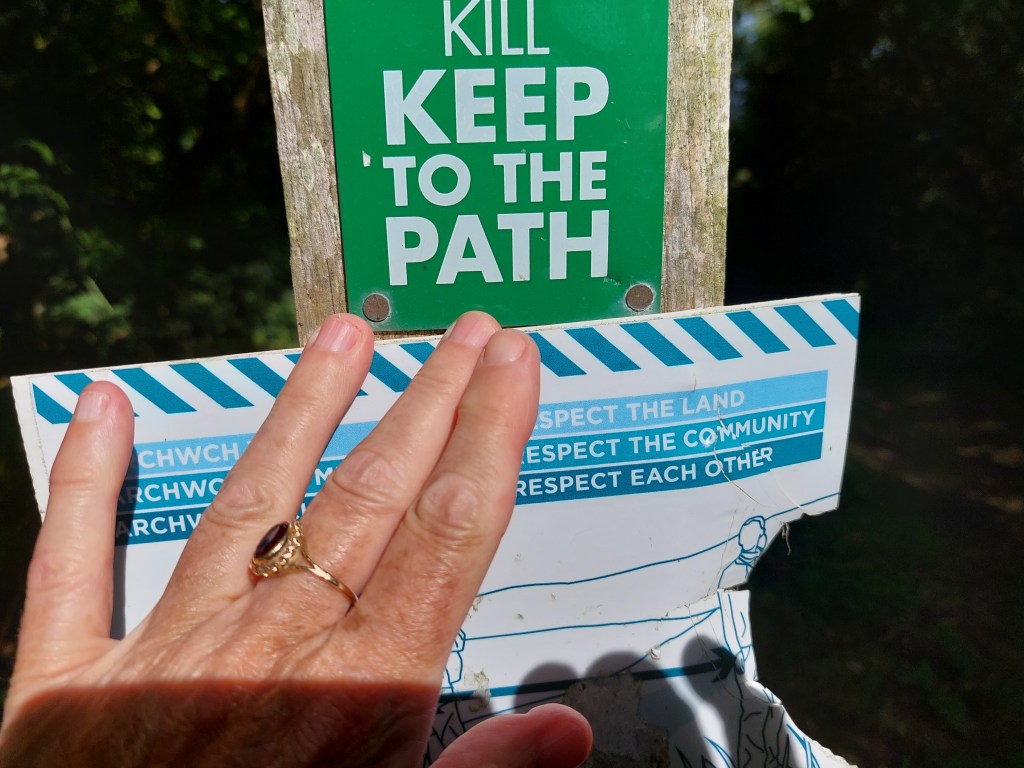
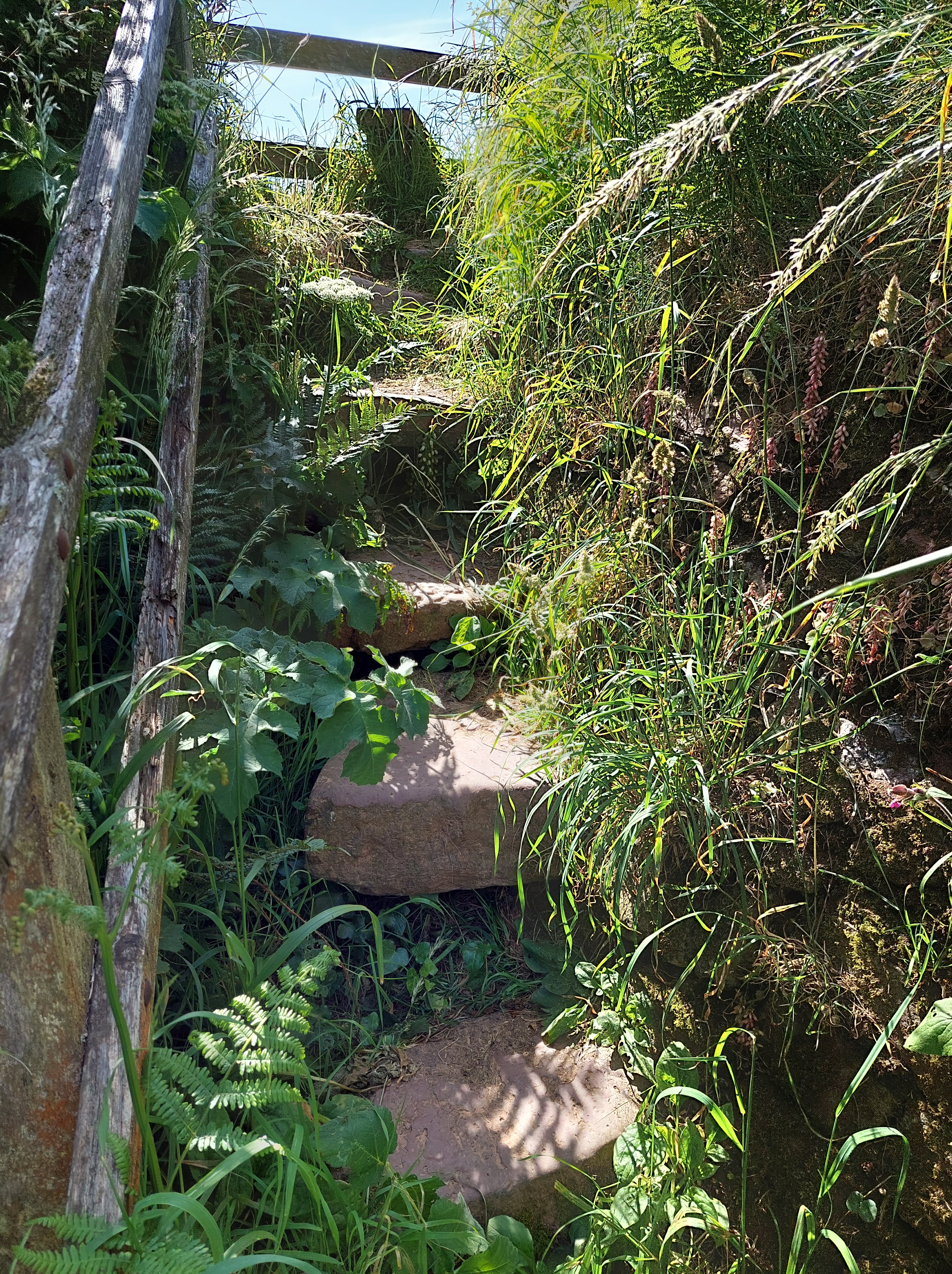
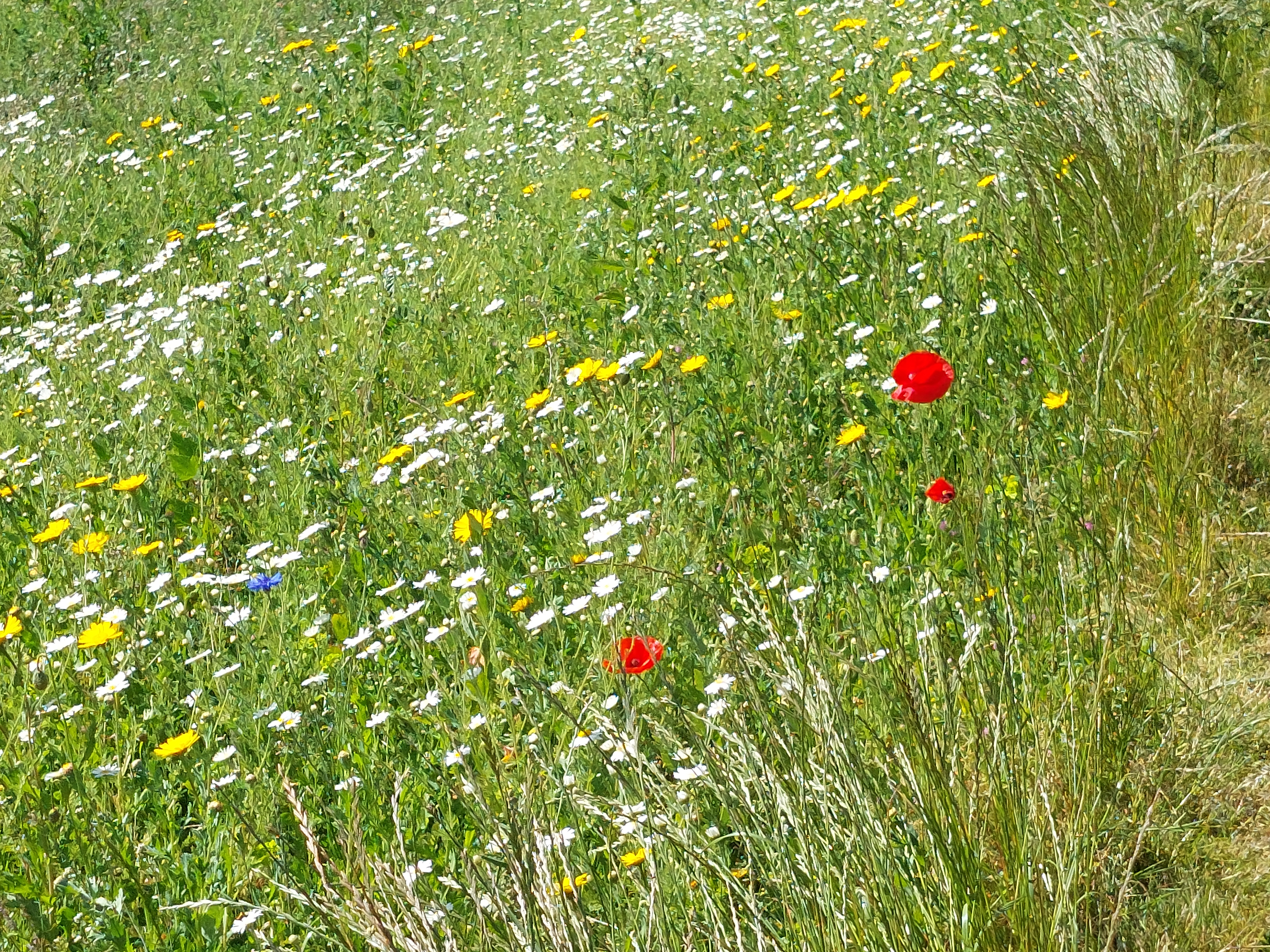
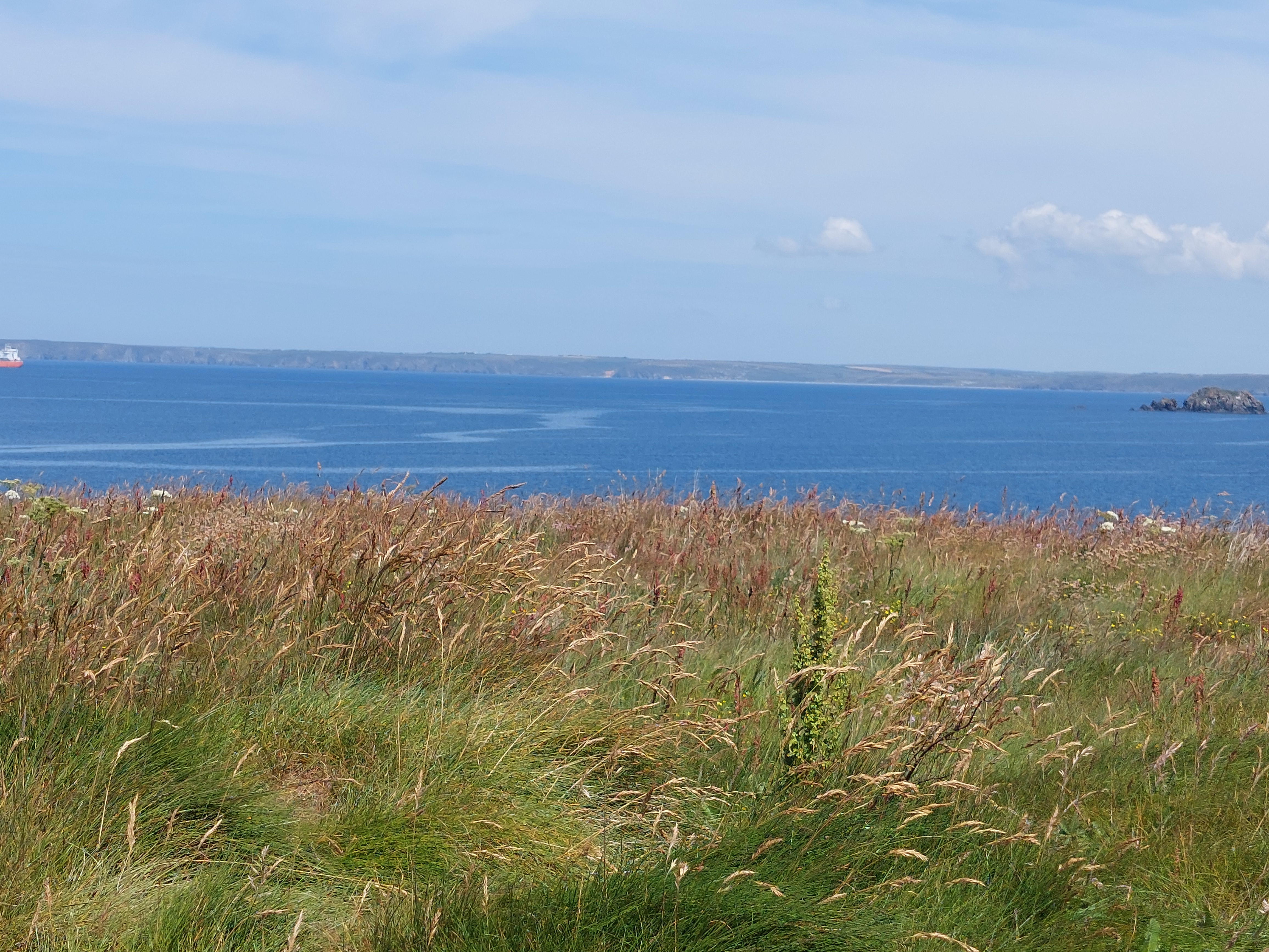
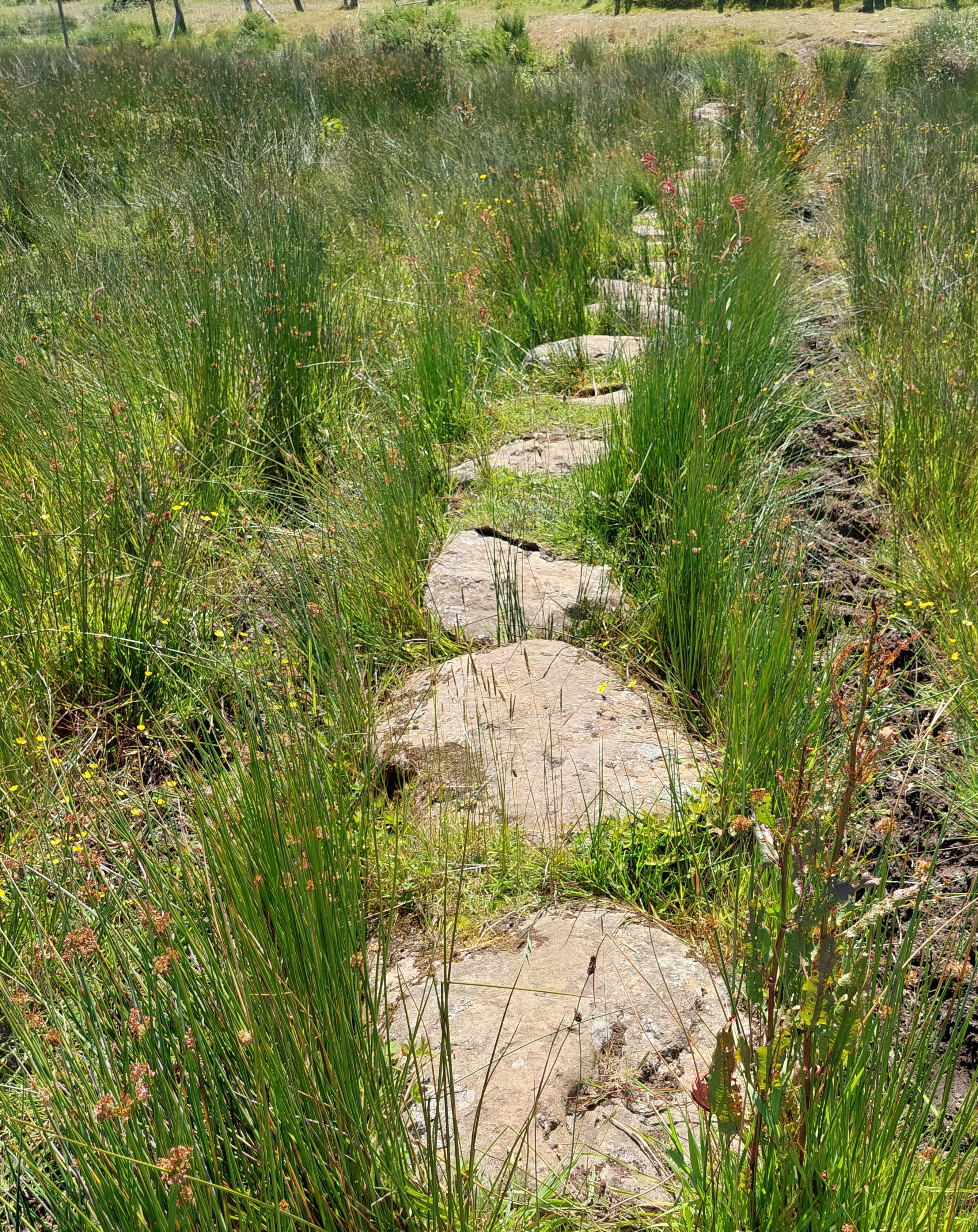
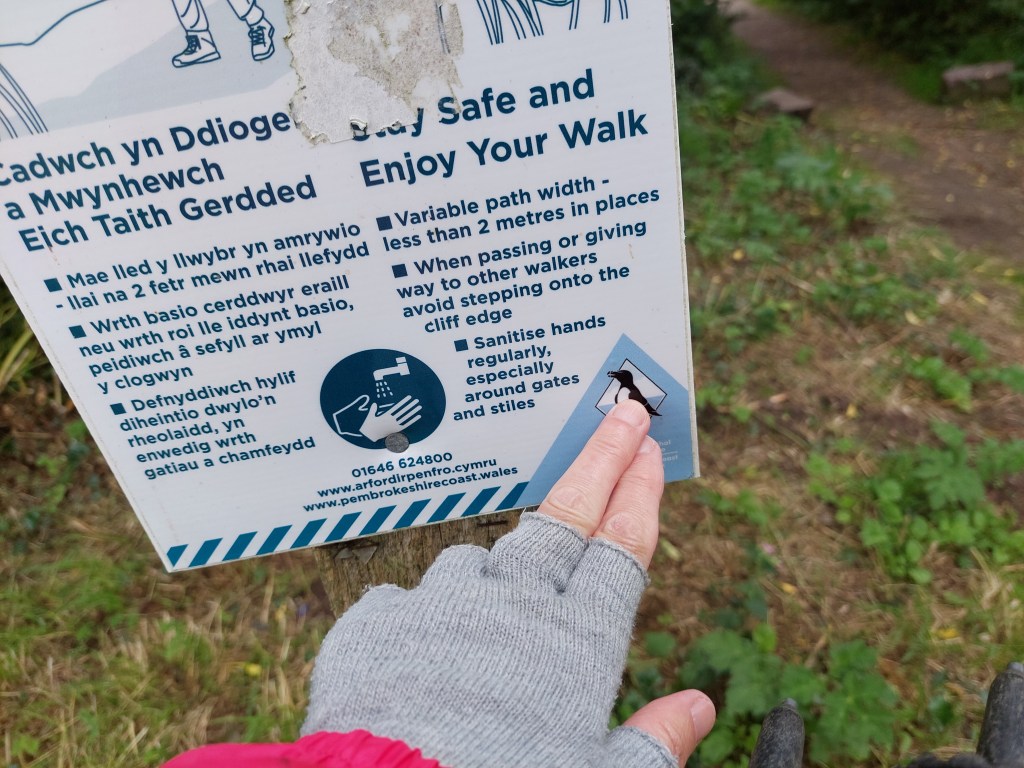
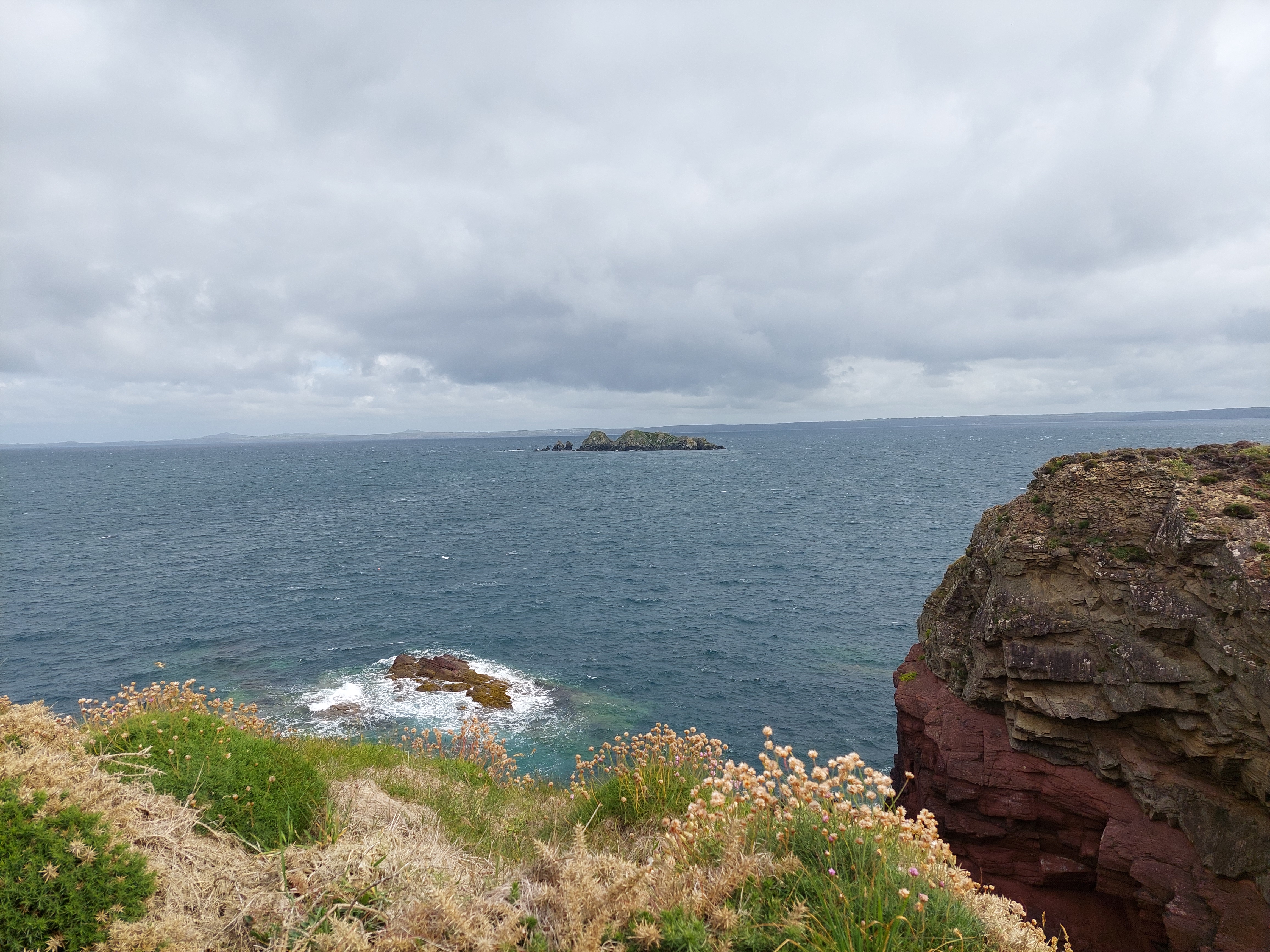
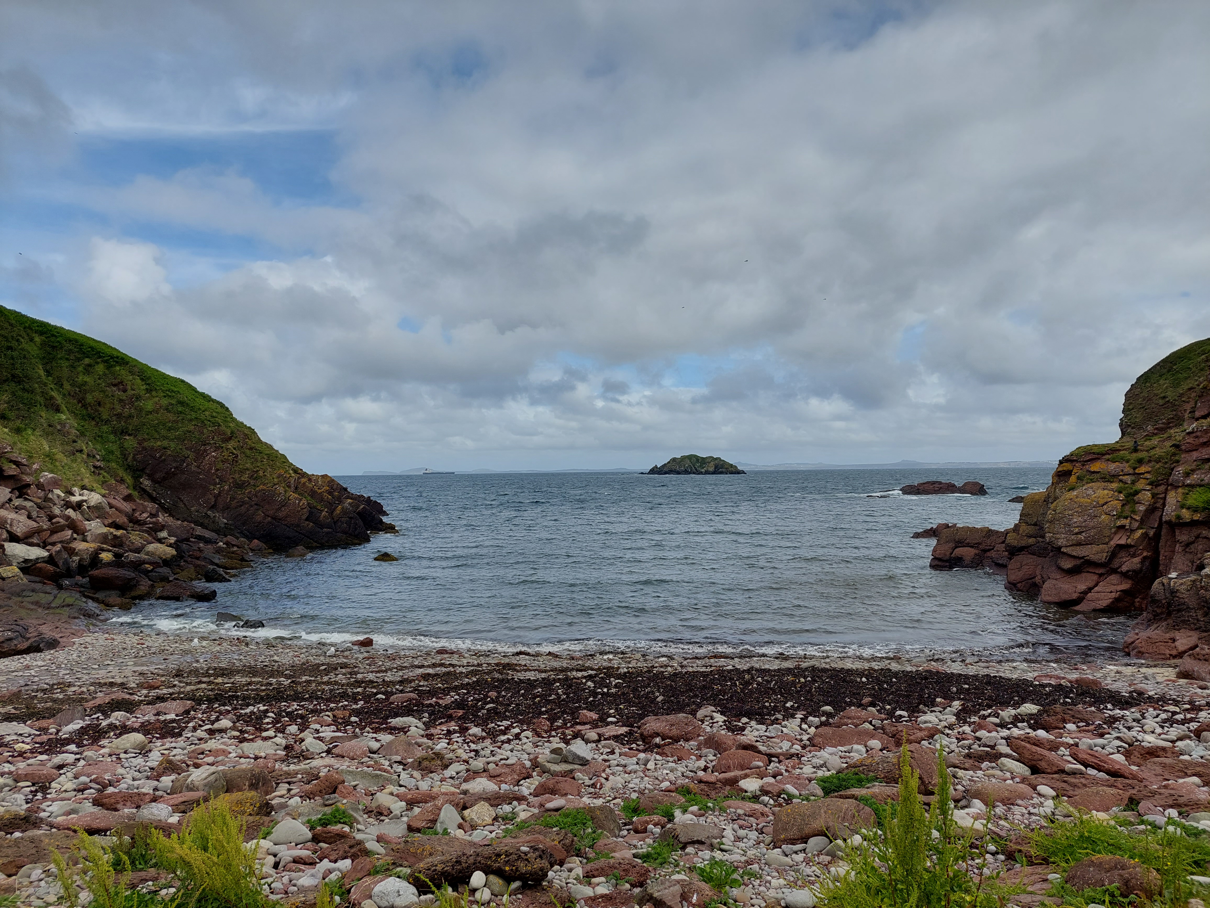
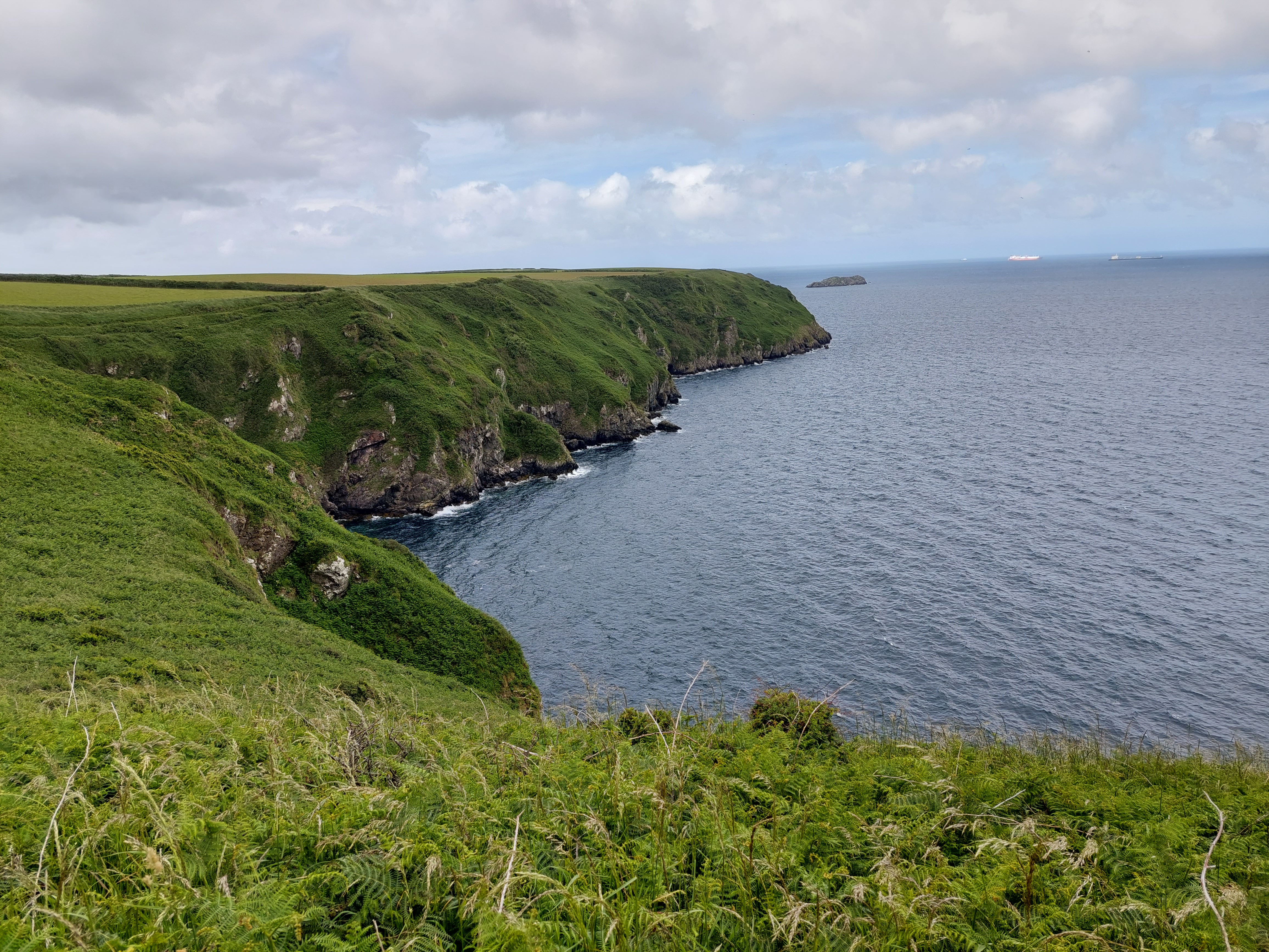
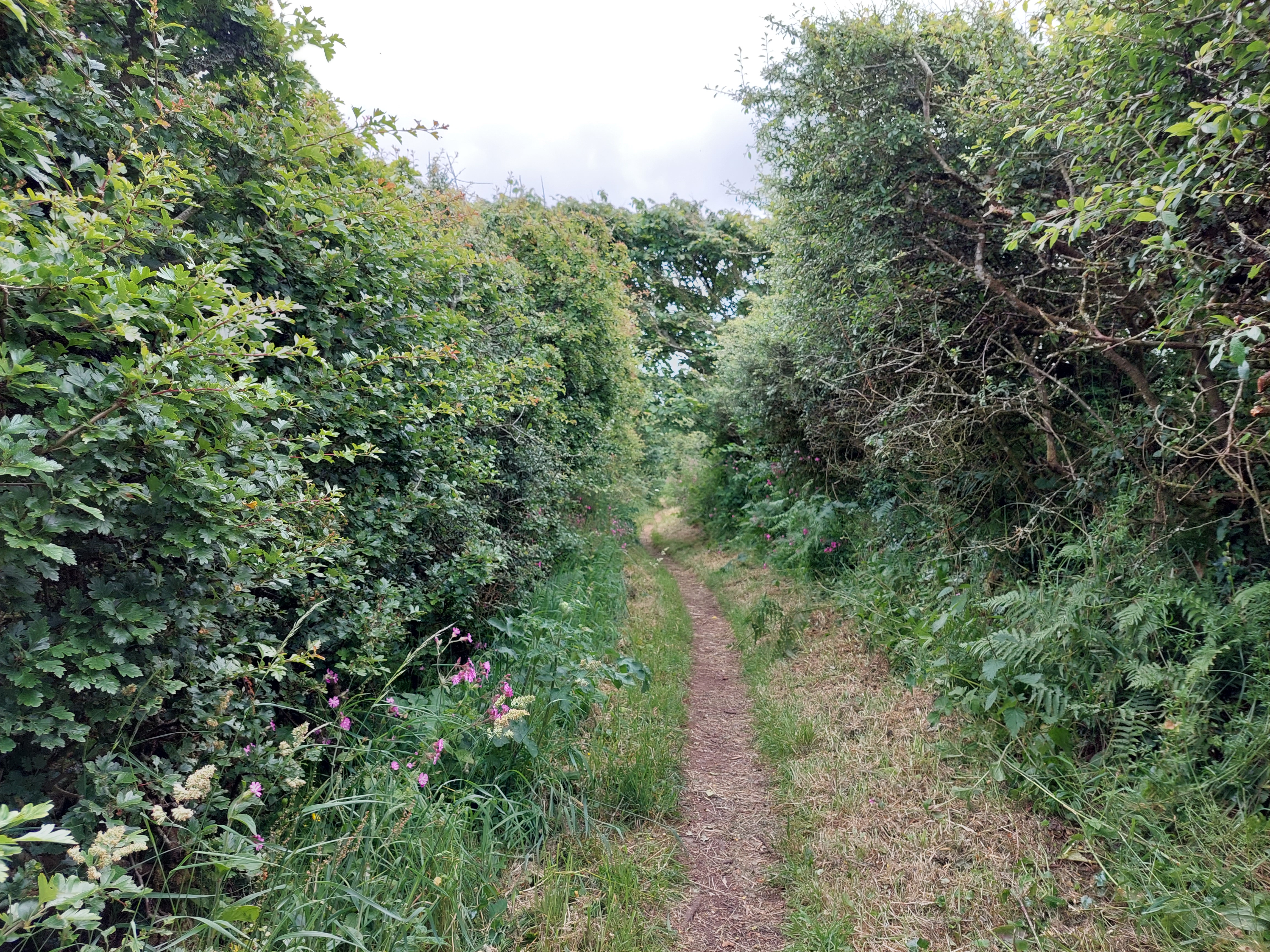
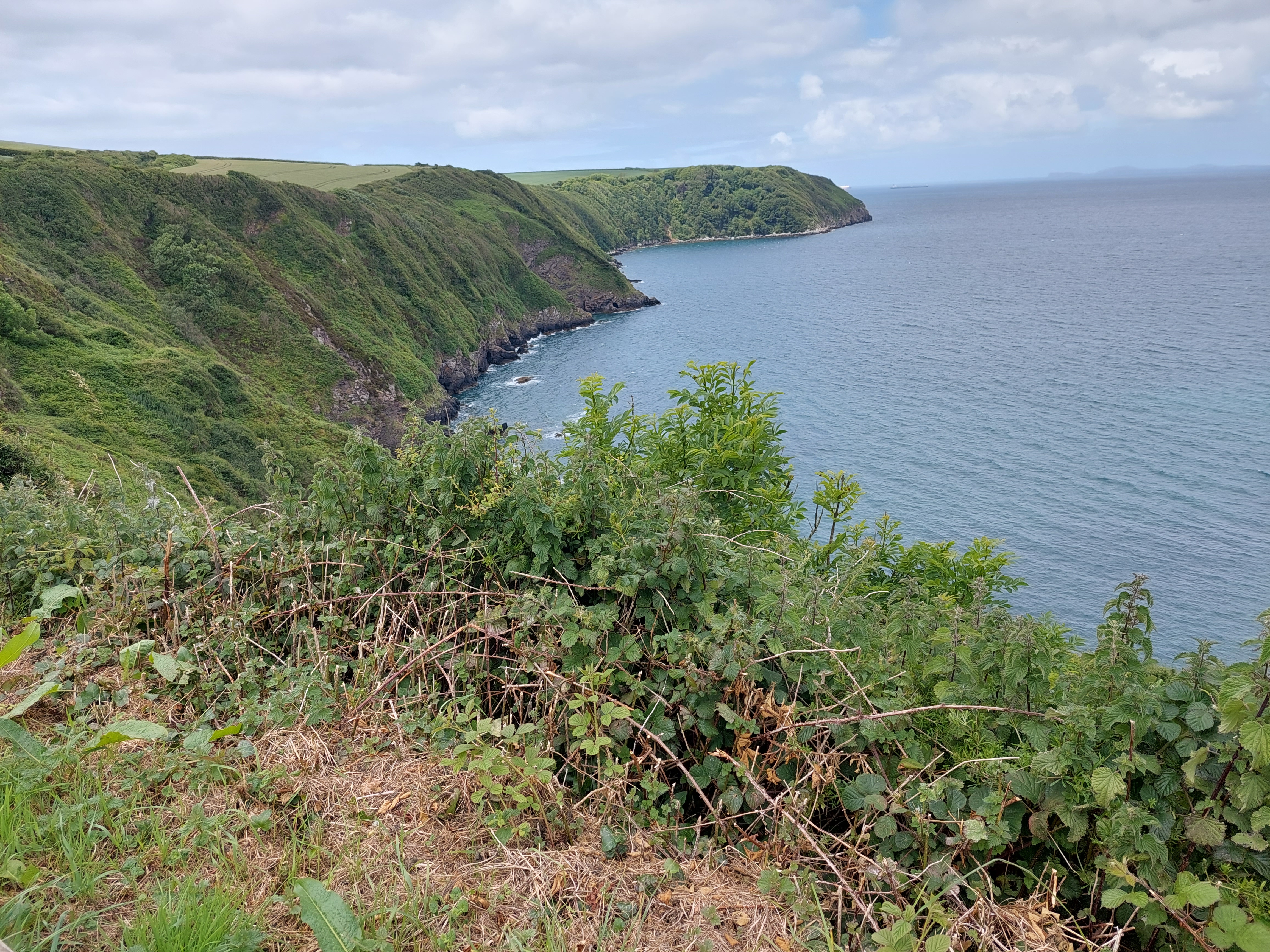
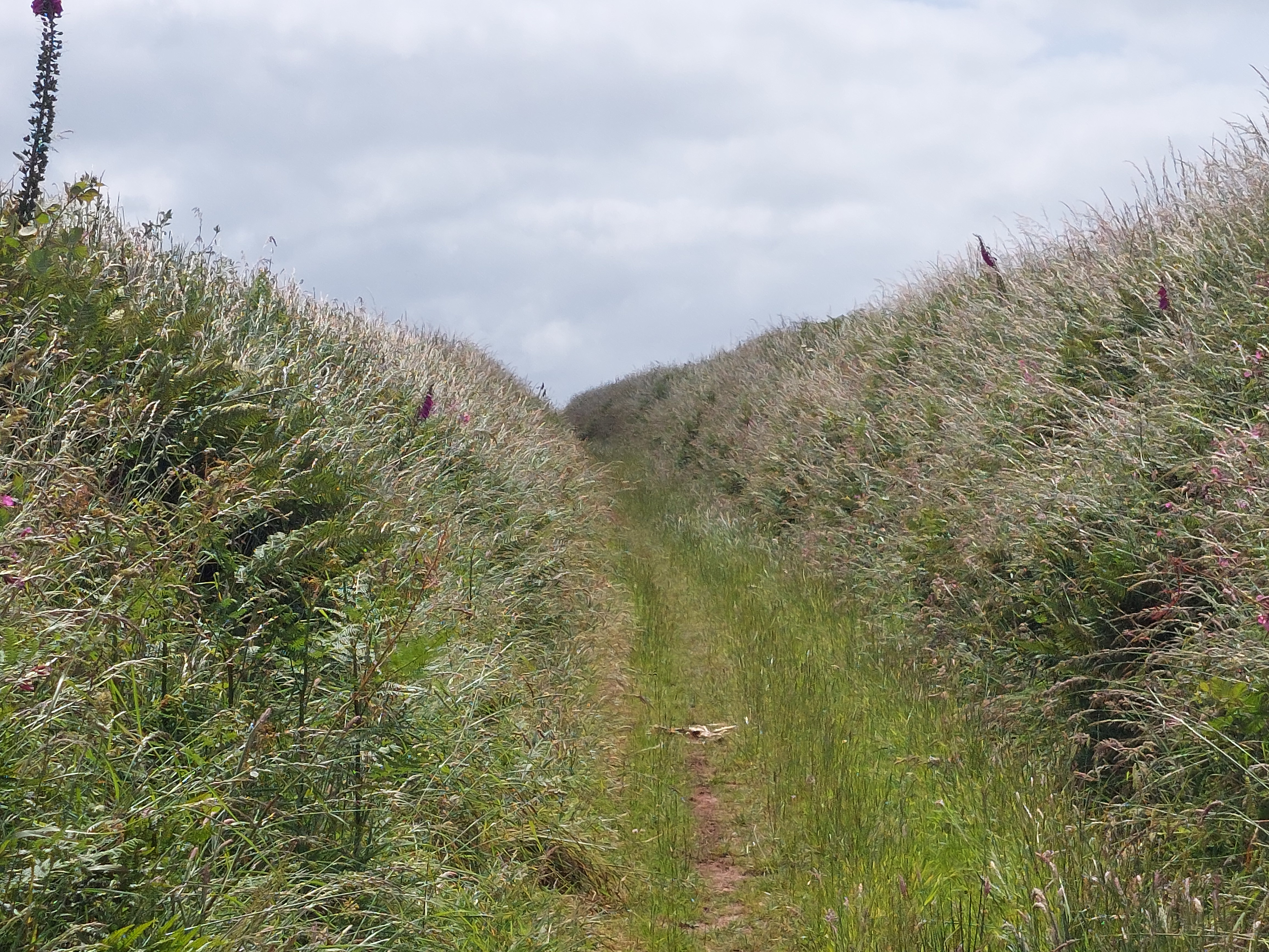
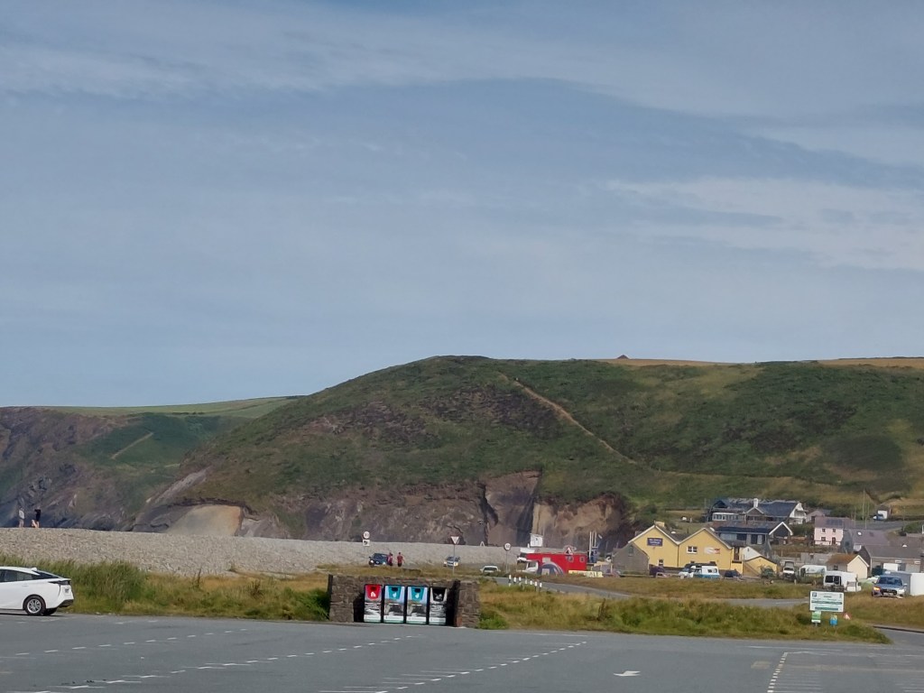
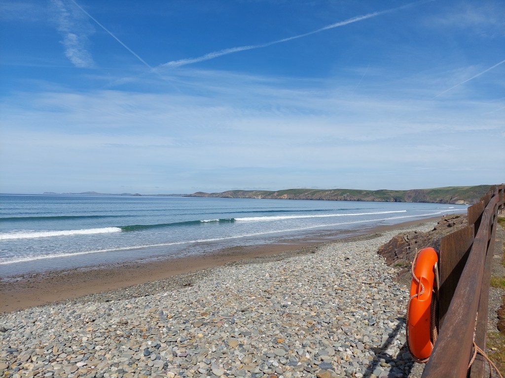
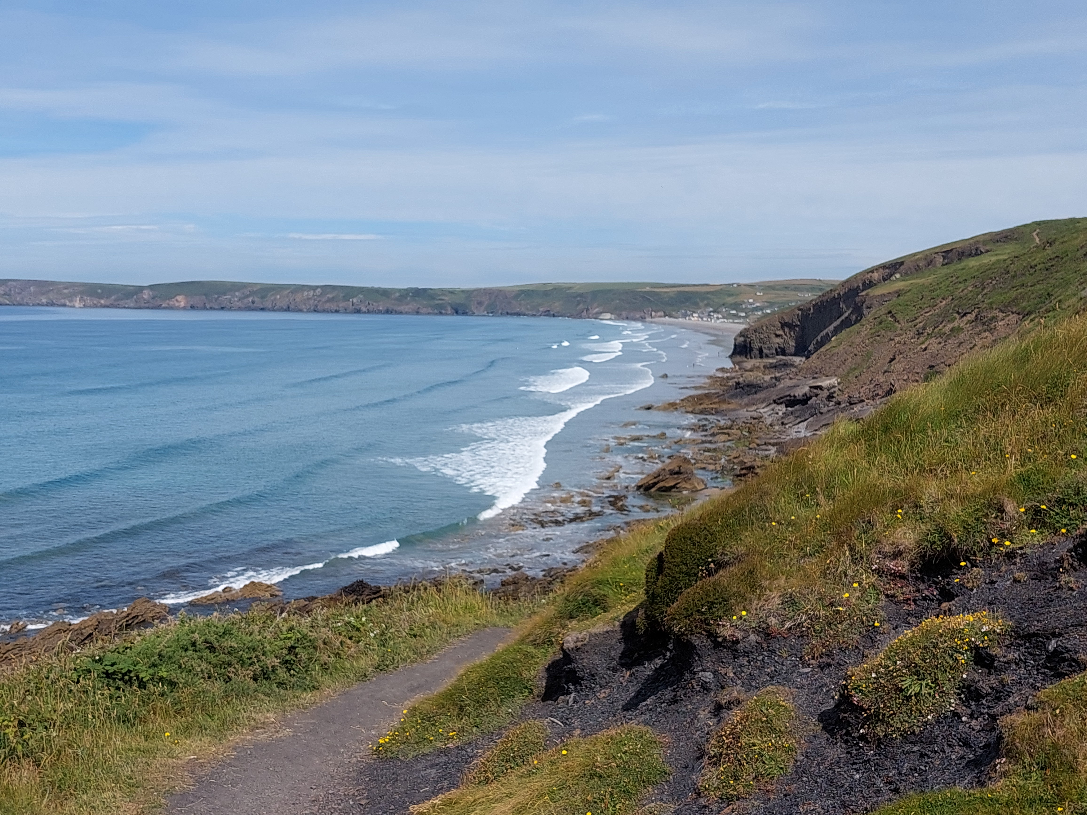
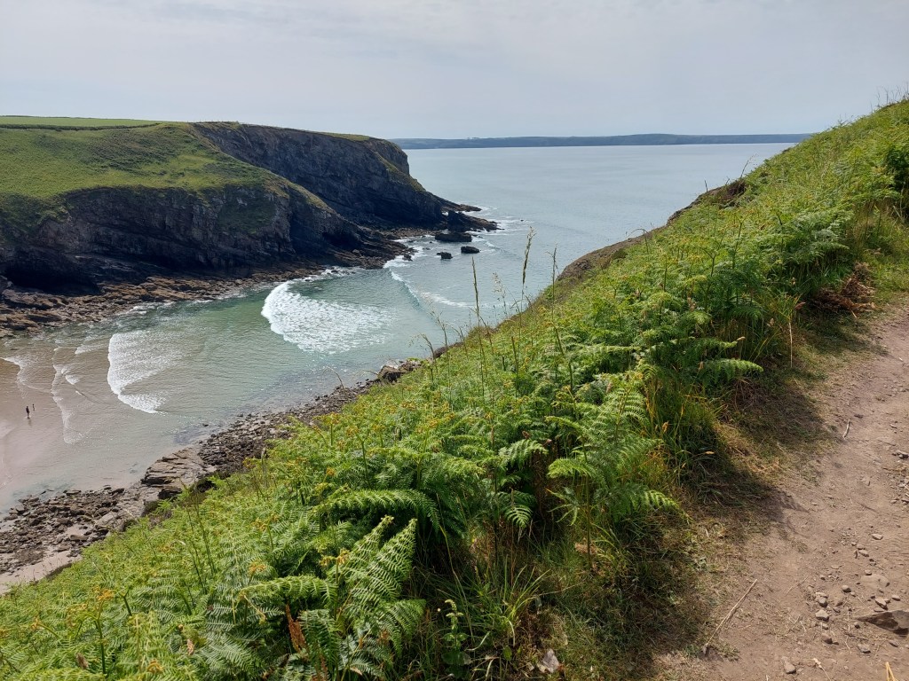
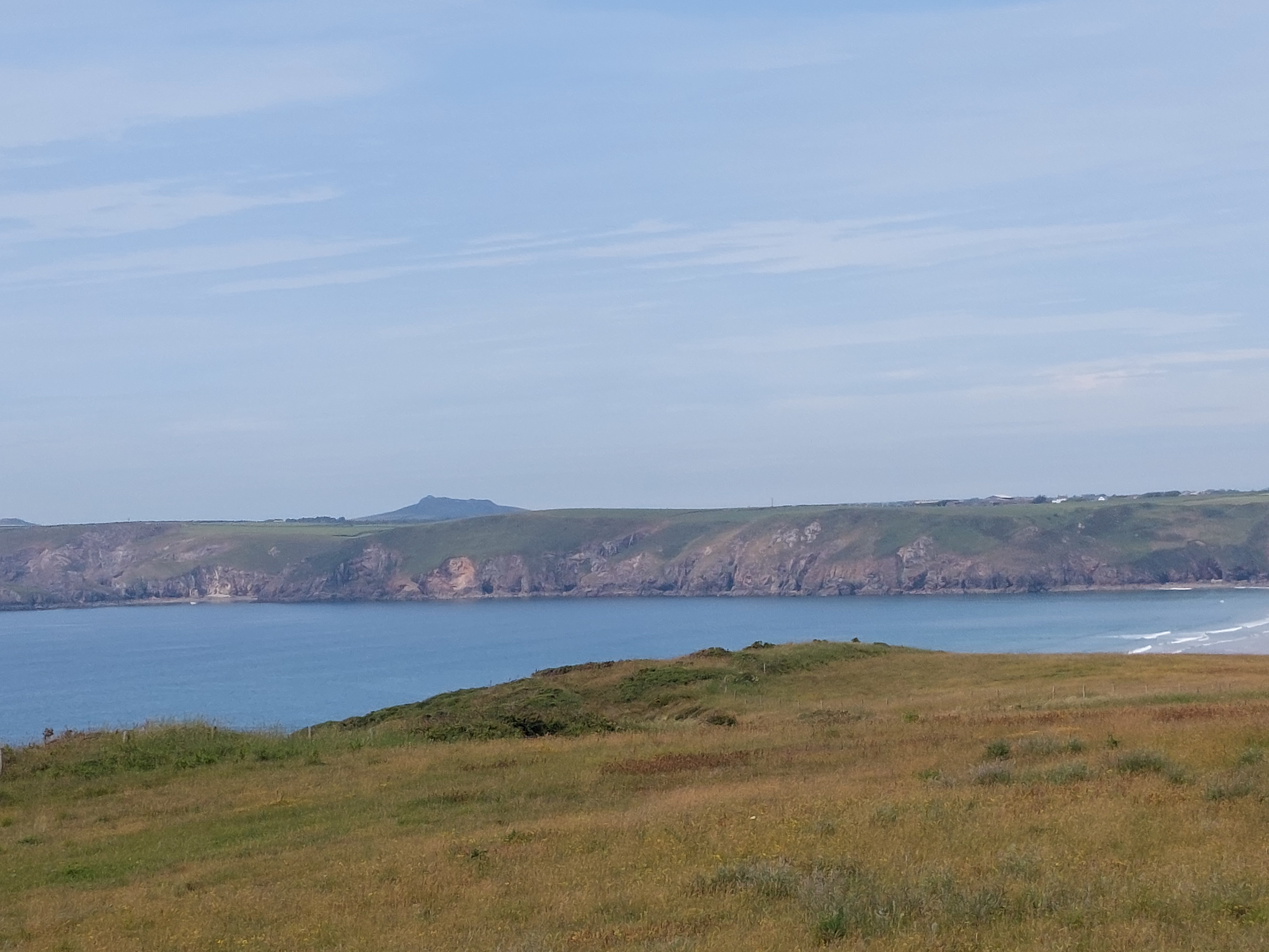
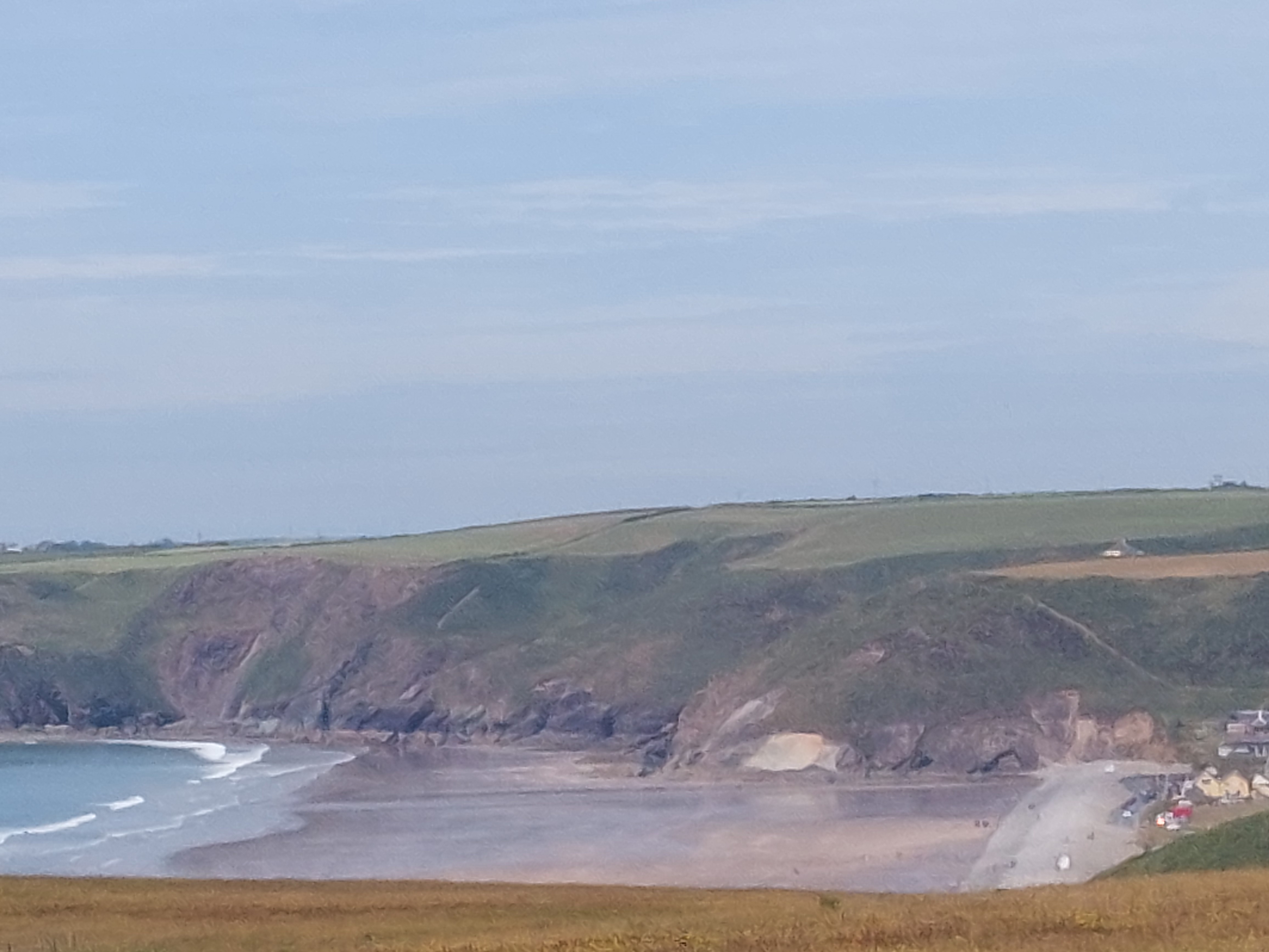
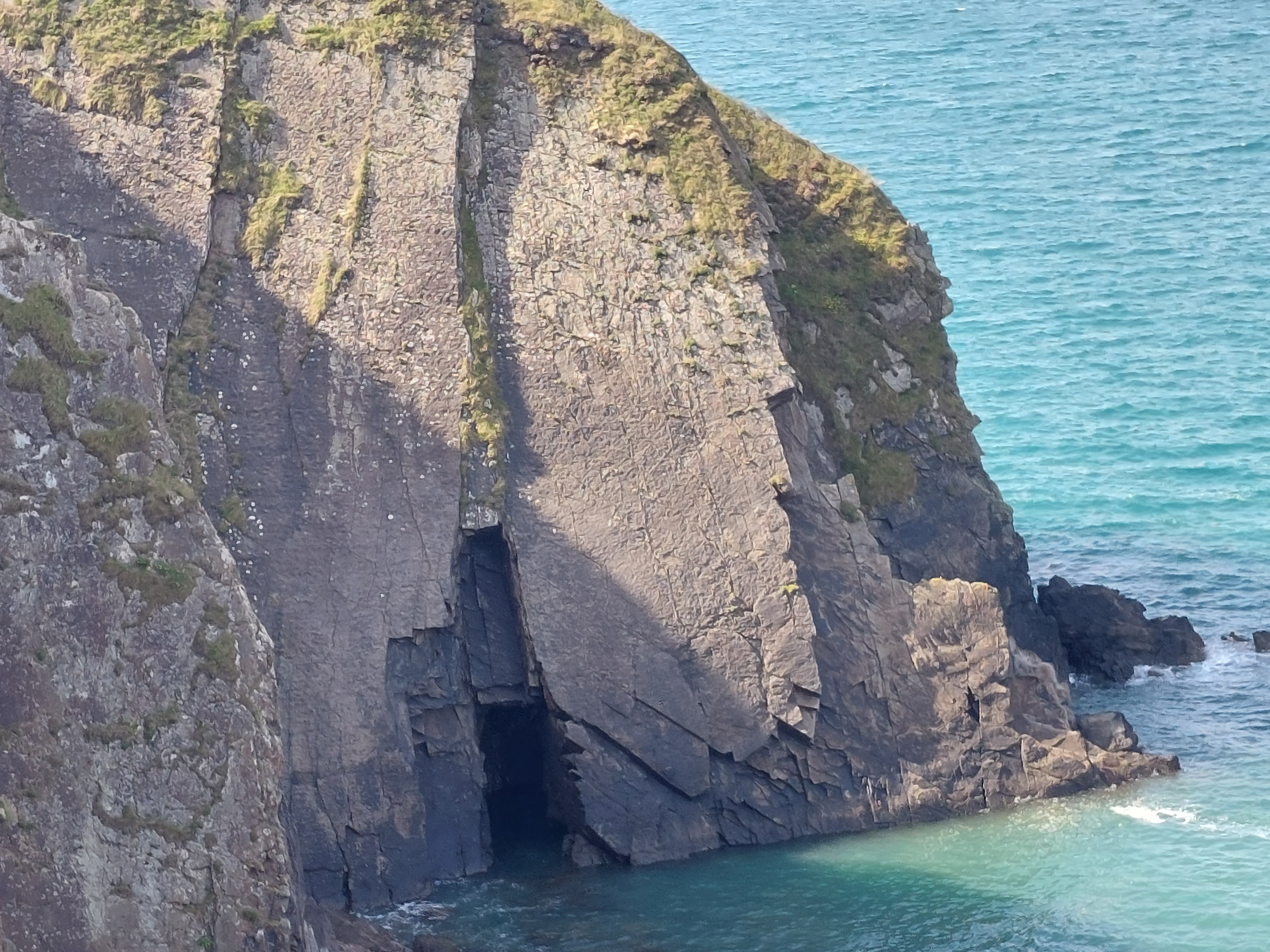
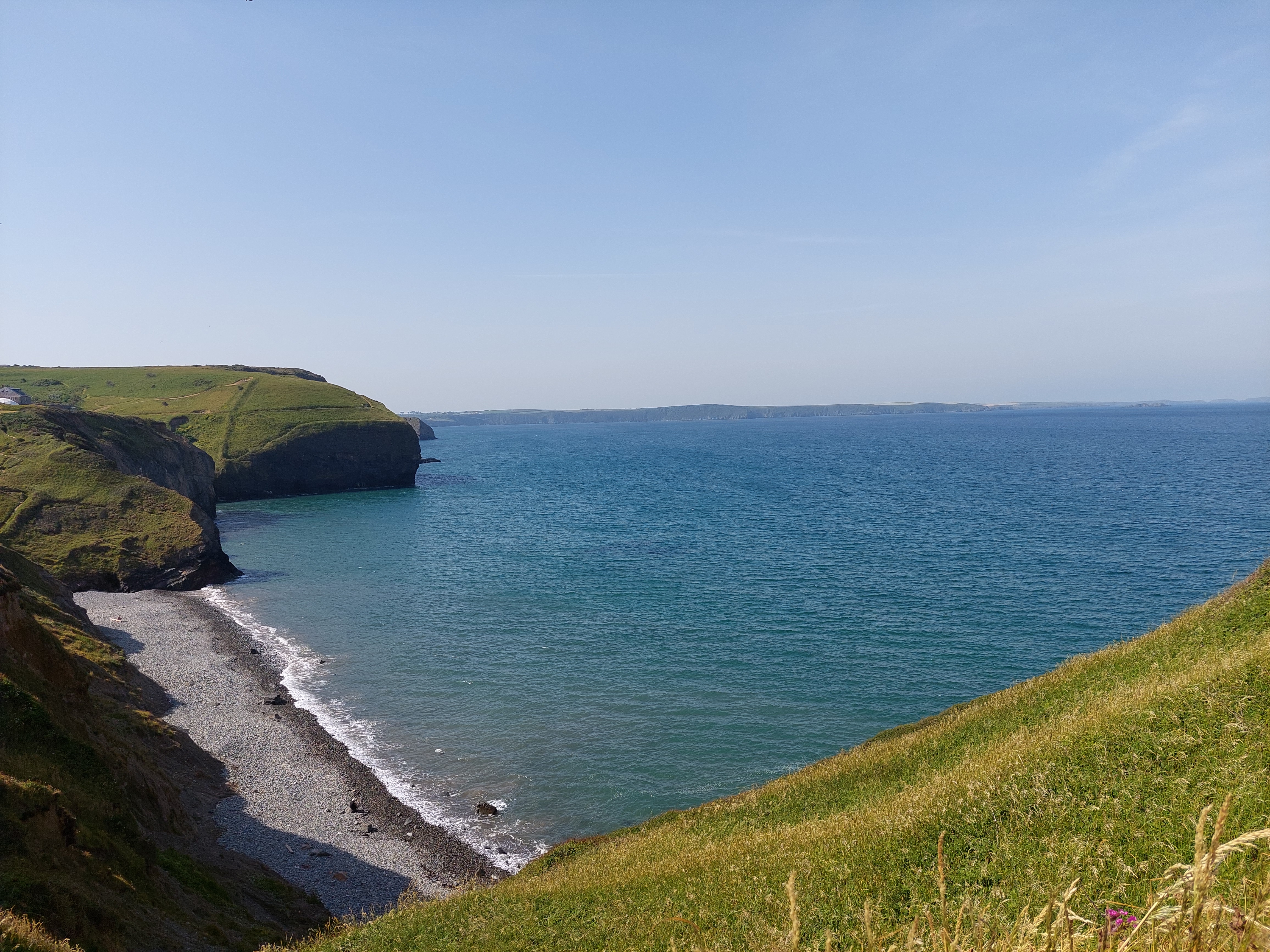
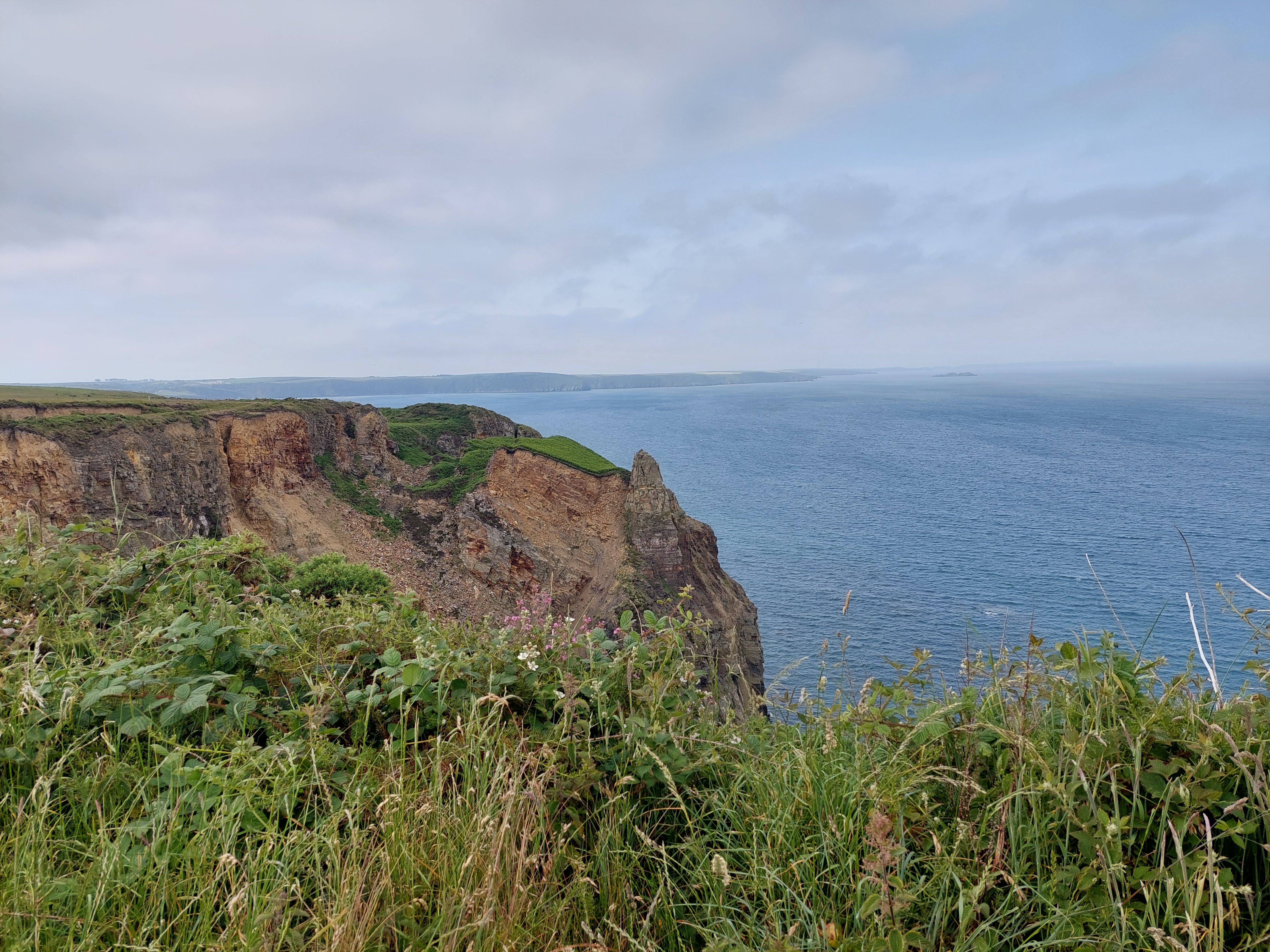
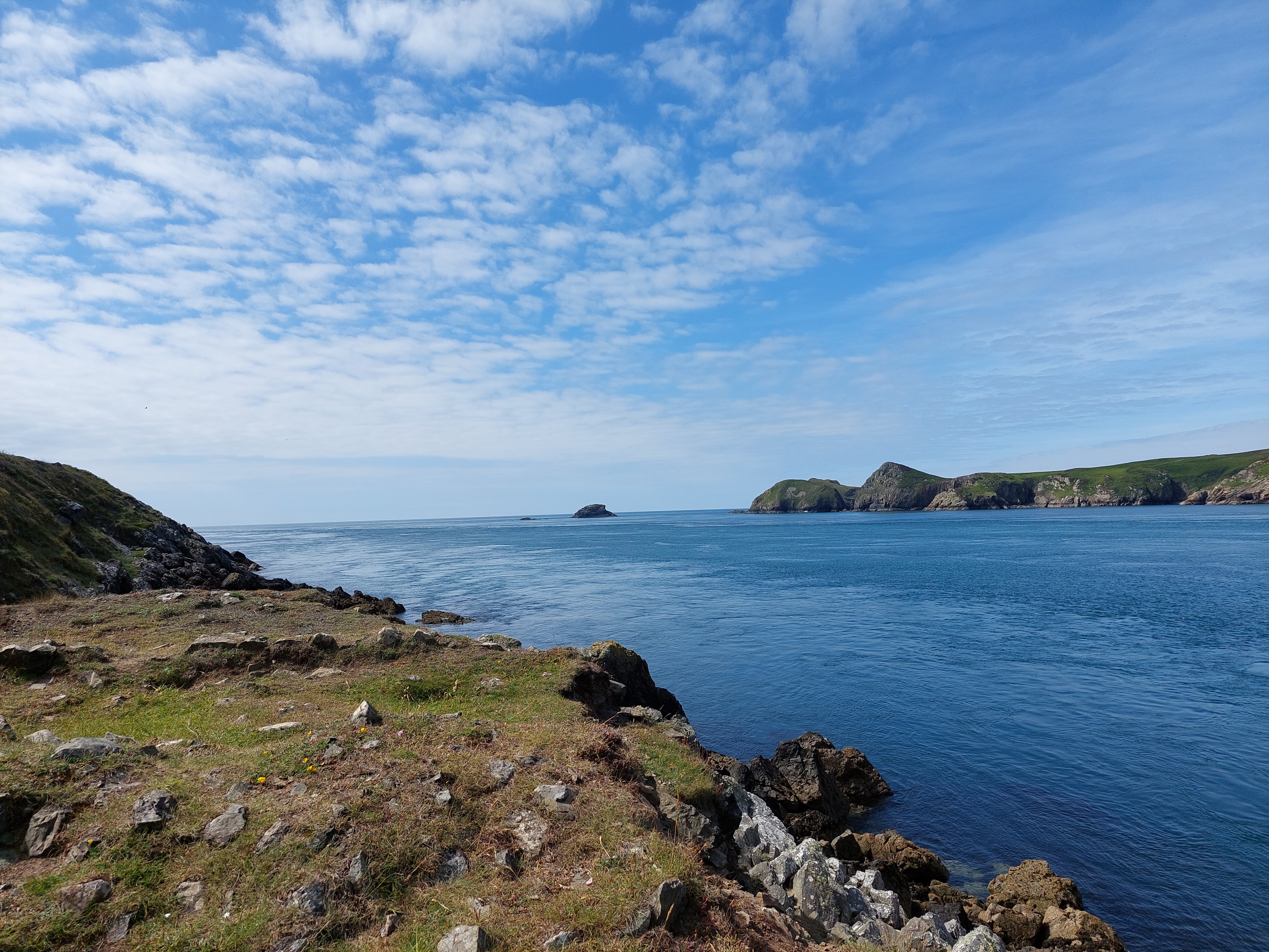
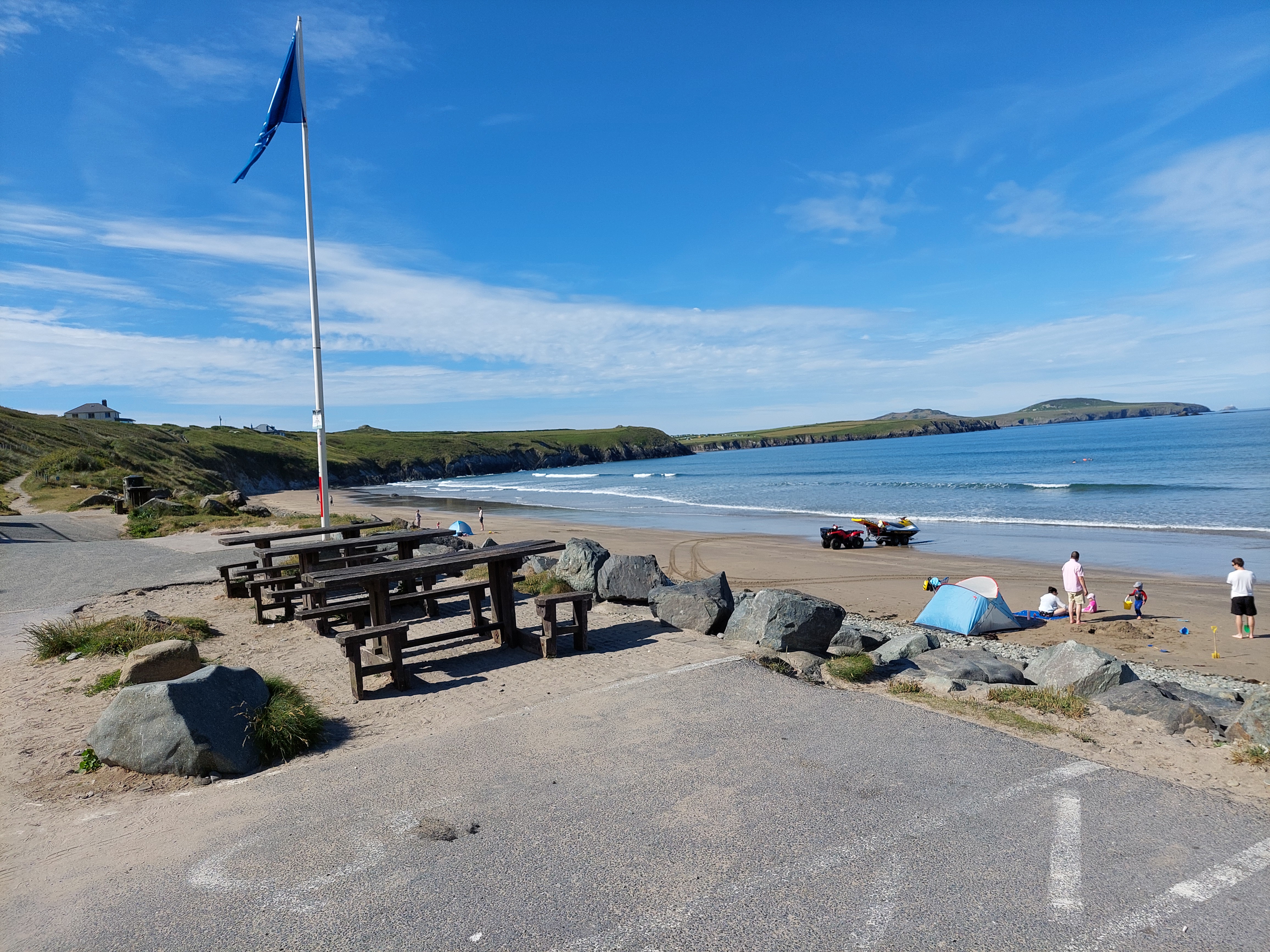
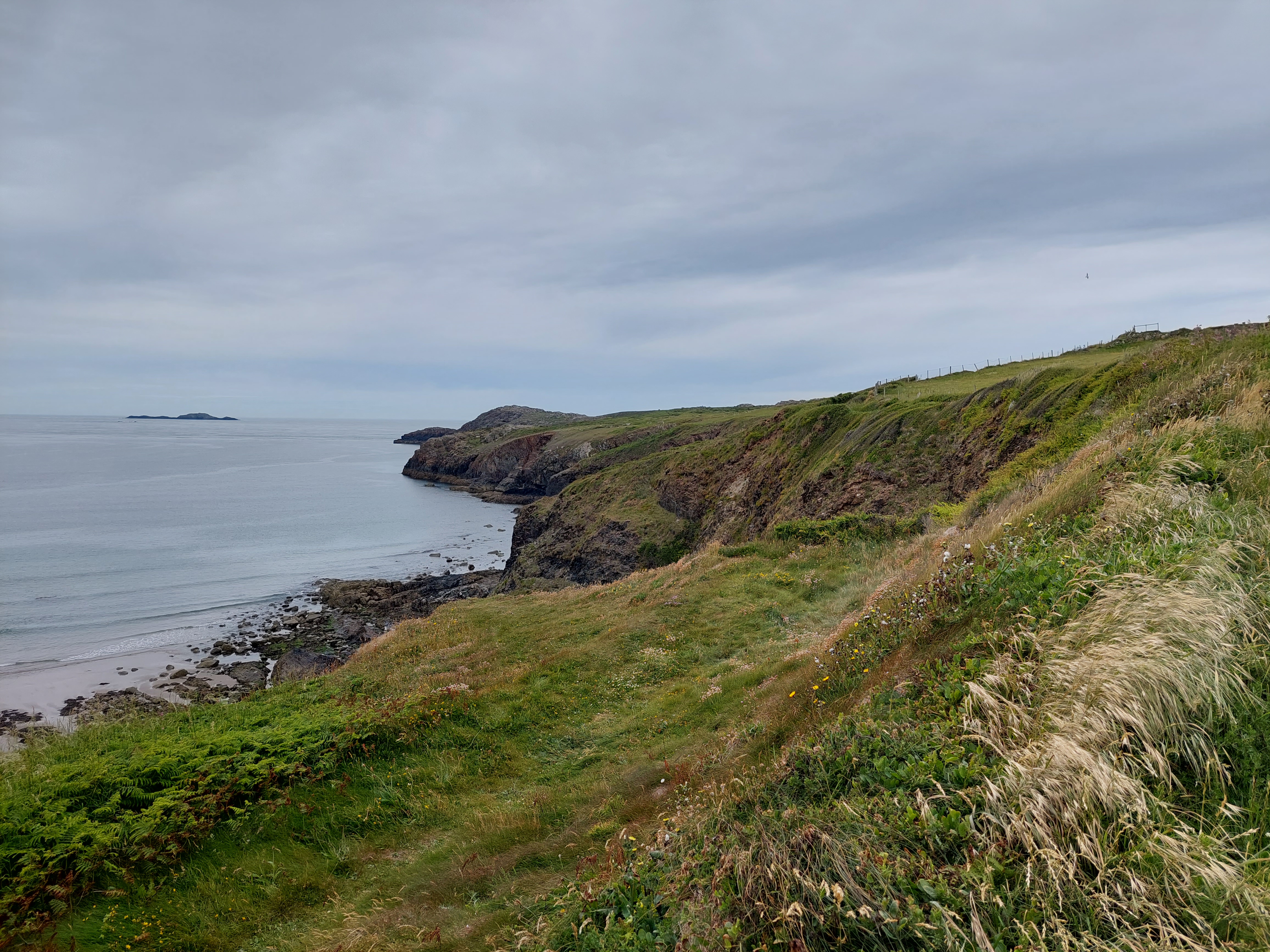
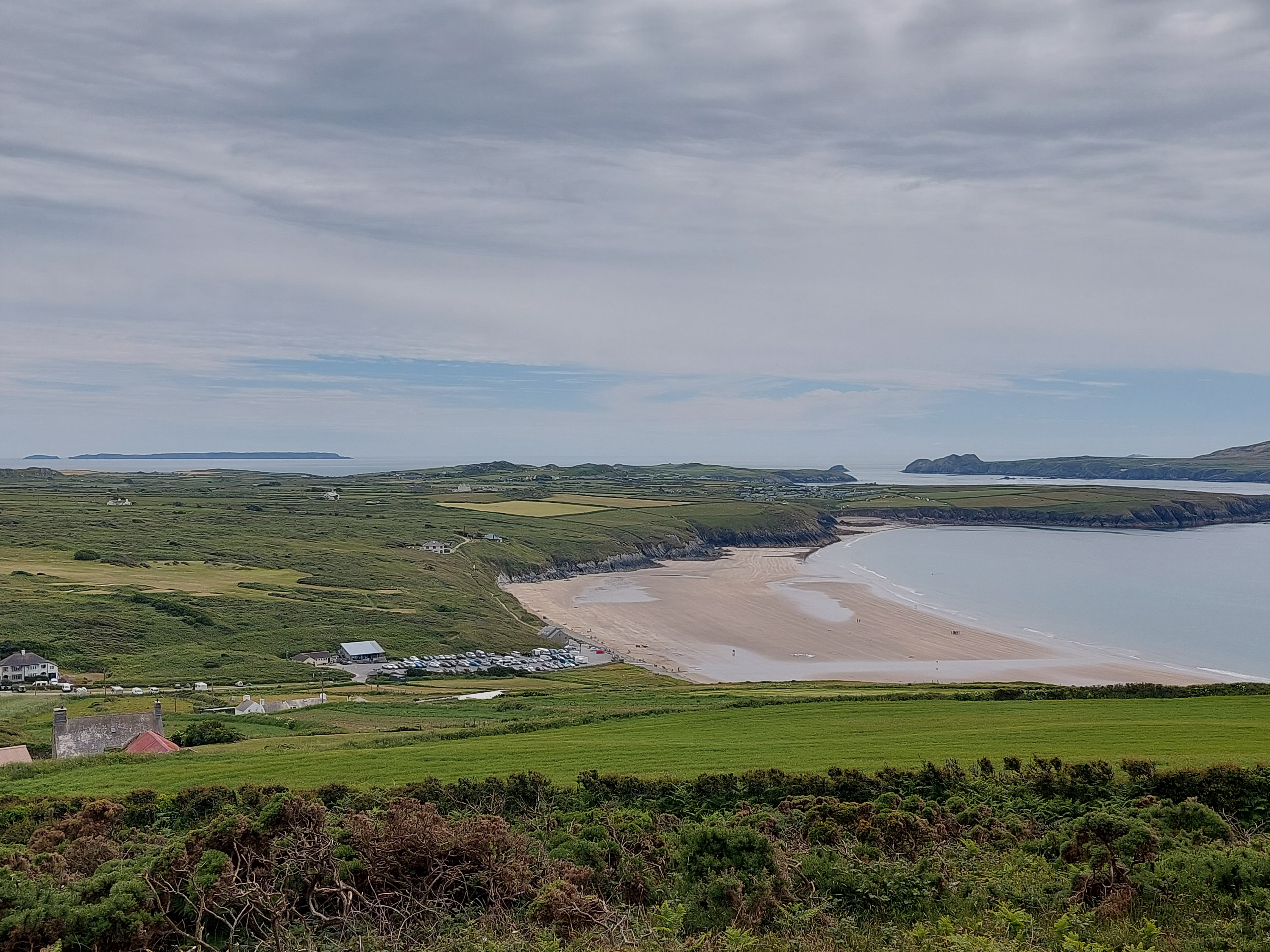
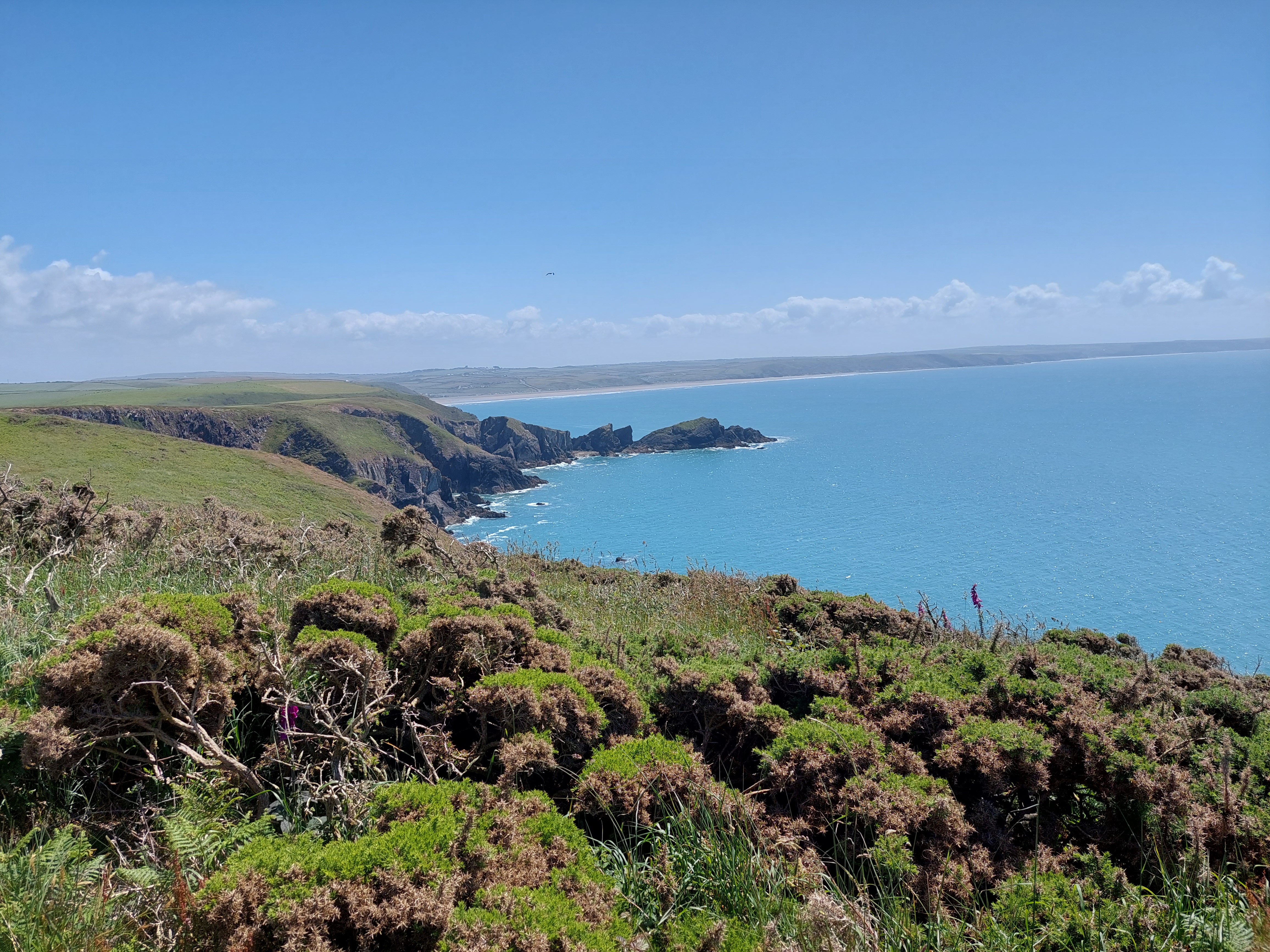
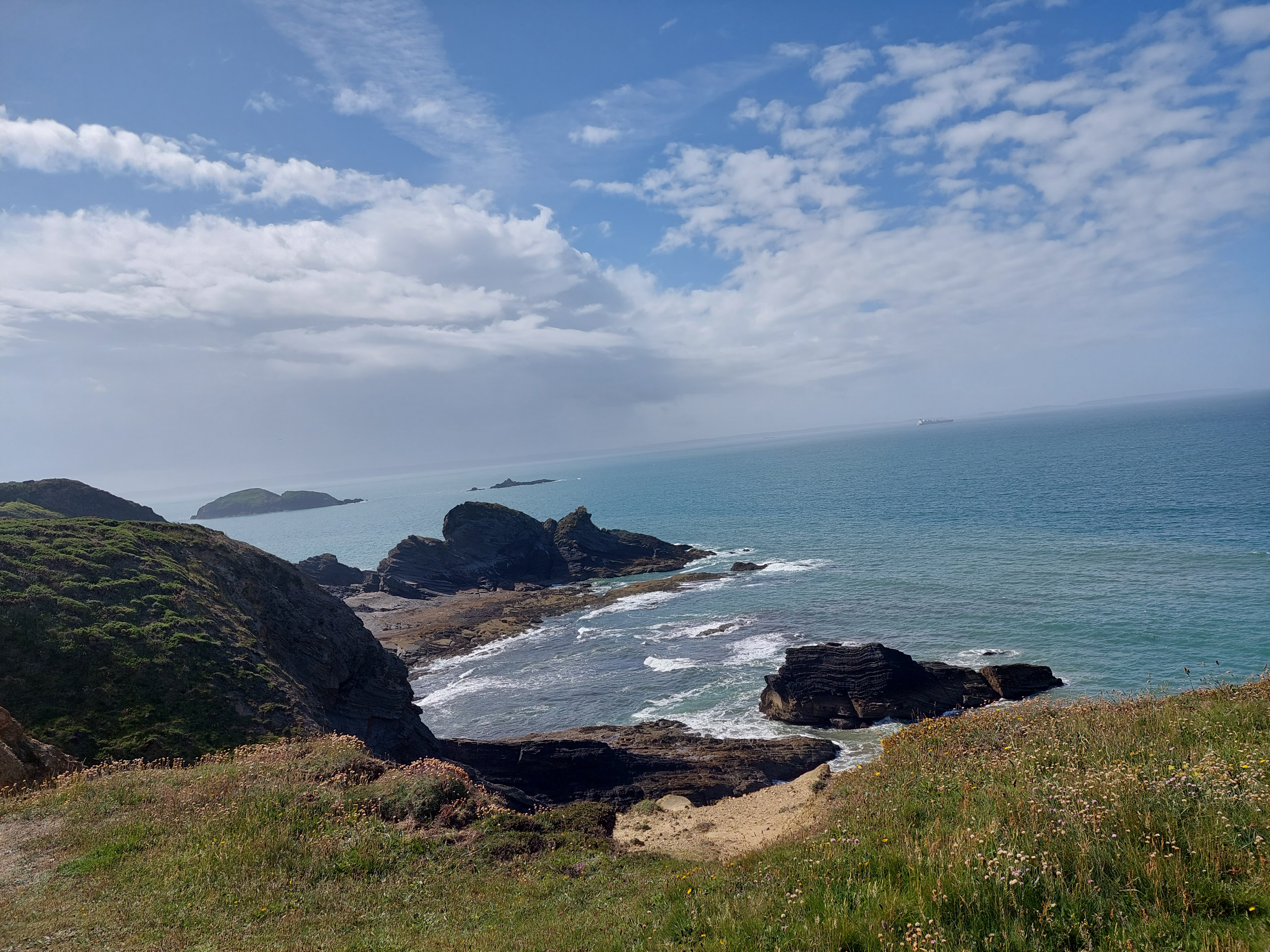
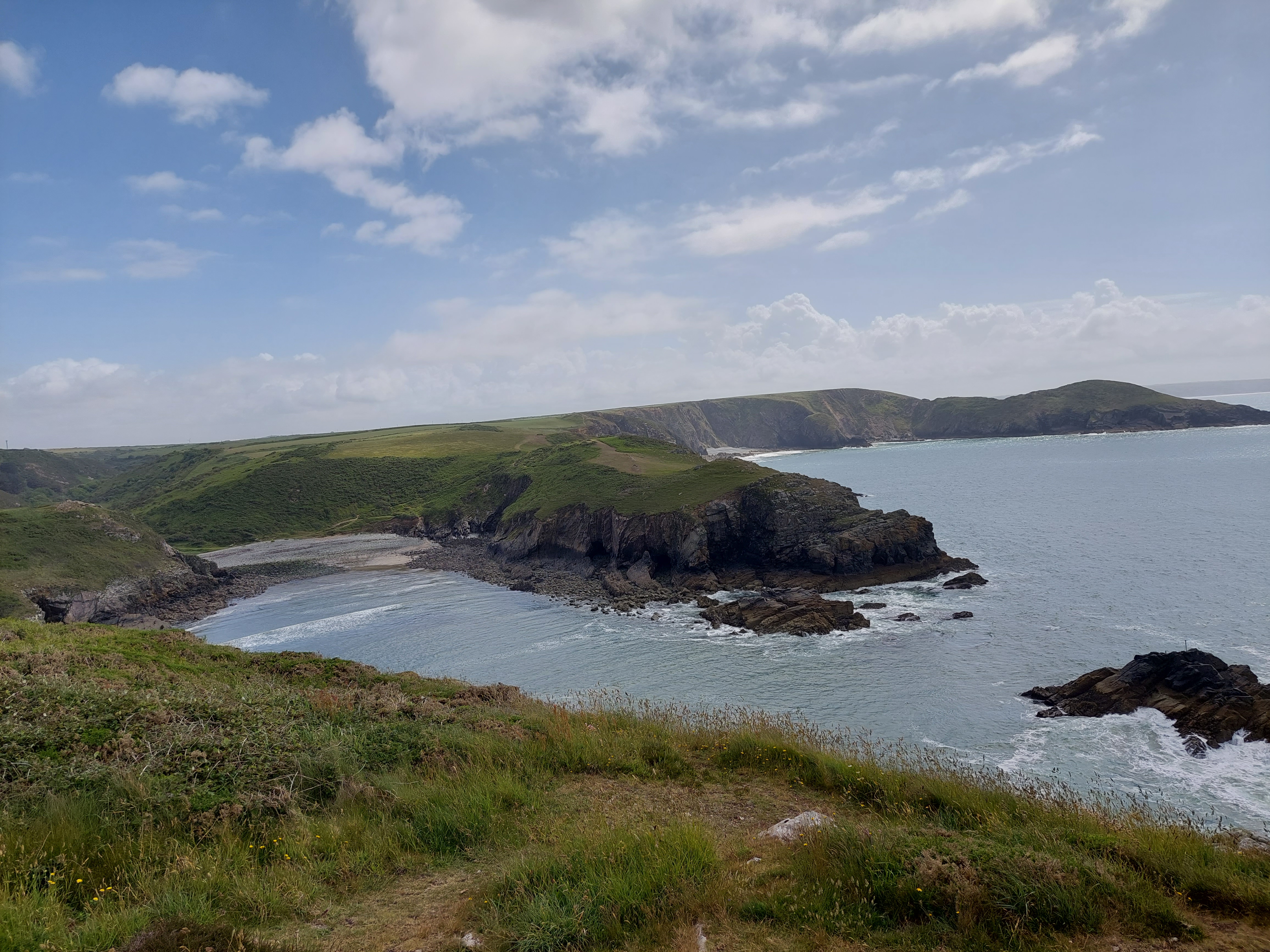
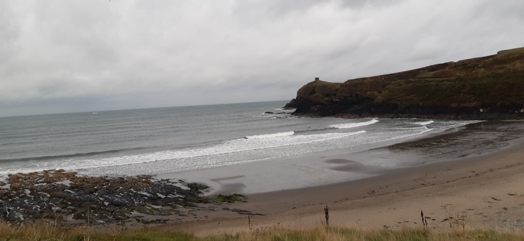
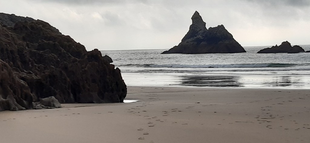
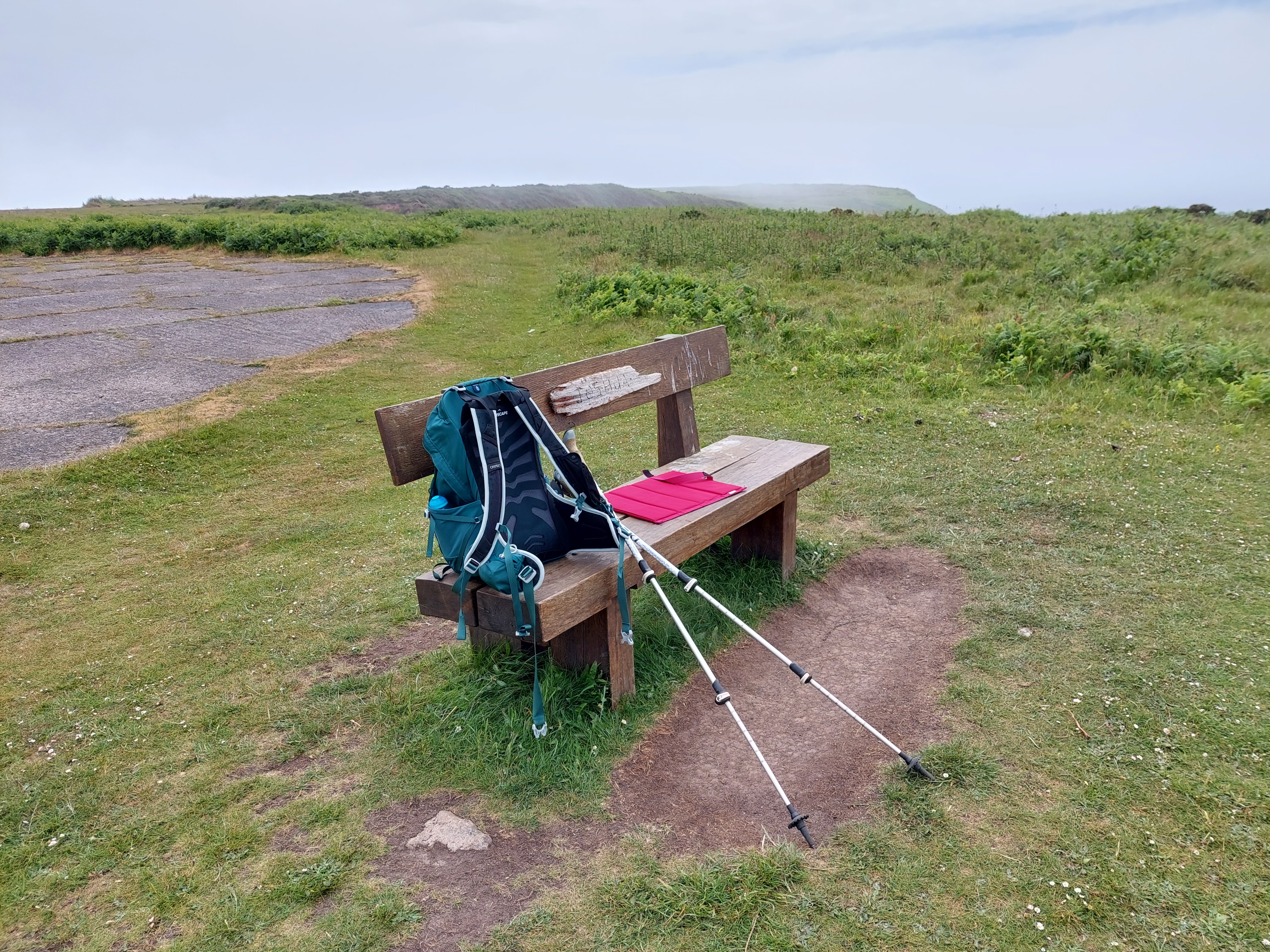
I carried on on the coast path eventually coming out by the bench. This was conveniently empty and as it was lunch time I decided to stop there (and the view was surprisingly clear of mist). I found a spot by a low wall around some hard standing to relieve myself and settled to a very scenic lunch spot. A group of Australians arrived and decided to have their lunch on the low wall! I felt abit guilty. The final mile included a descent down to Marloes sands, and then back up again to the cut through to the café and touching point I had established yesterday. Then a repeat walk back to the car, via the toilets by the café (no toads this time!). At this point there was also evidence that the paths had been strimmed for easy access unlike the ones I had been walking on on Sunday.

I drove back via Milford Haven, to acquire something more comfortable to sit on. The holiday let has 2 very low and saggy sofas which I don’t seem to be able to get comfortable on! I bought a folding recliner (like the ones at Sandra and Peter’s caravan), which was a suitable bargain from Home Bargains. It will also fit in the car to go home at the end of this break and can live in the Rectory Summer House.

Neyland to Pembroke 13th June 2023

On the trail 16,538 STEPS 7.57 MILES

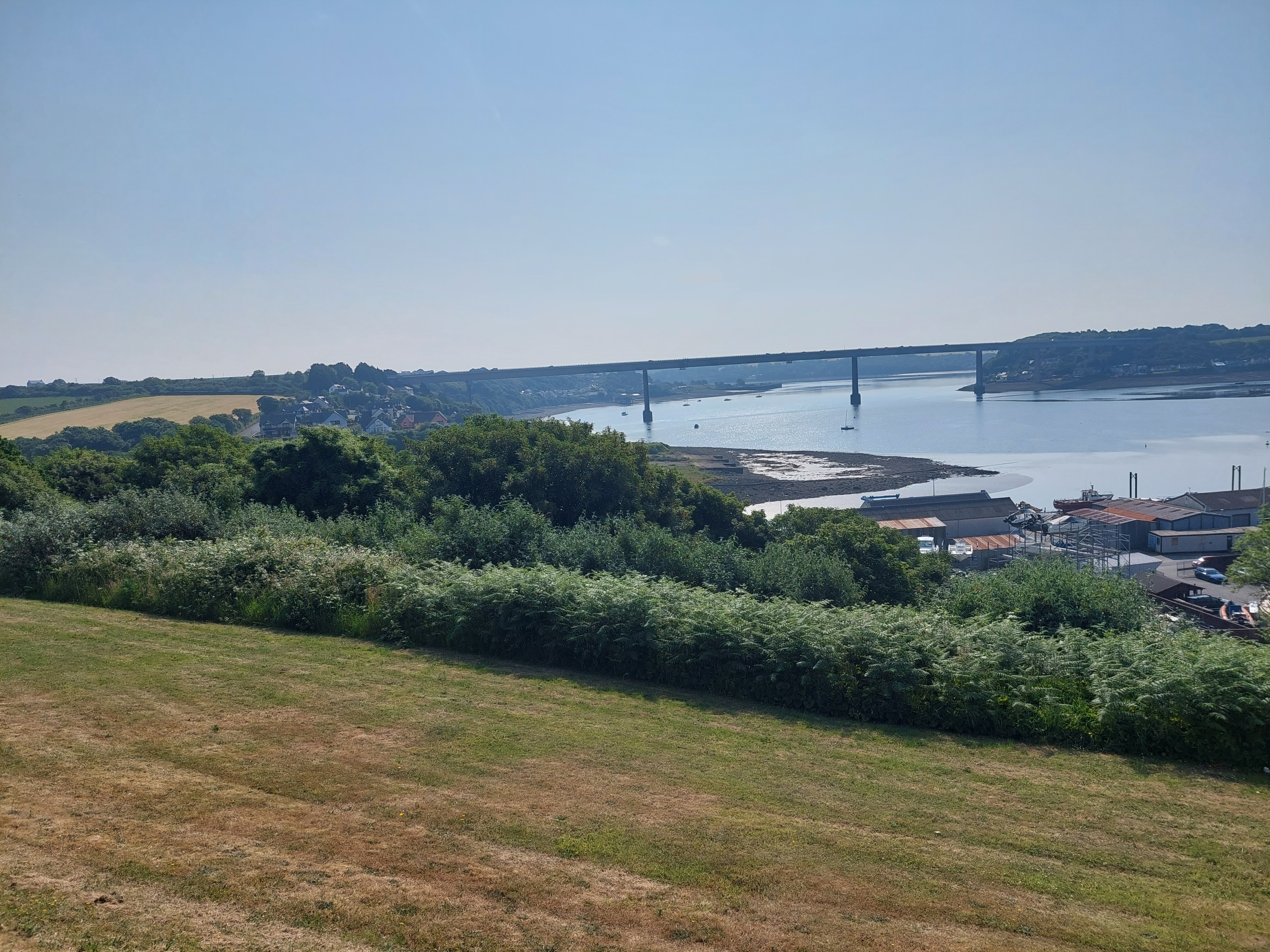
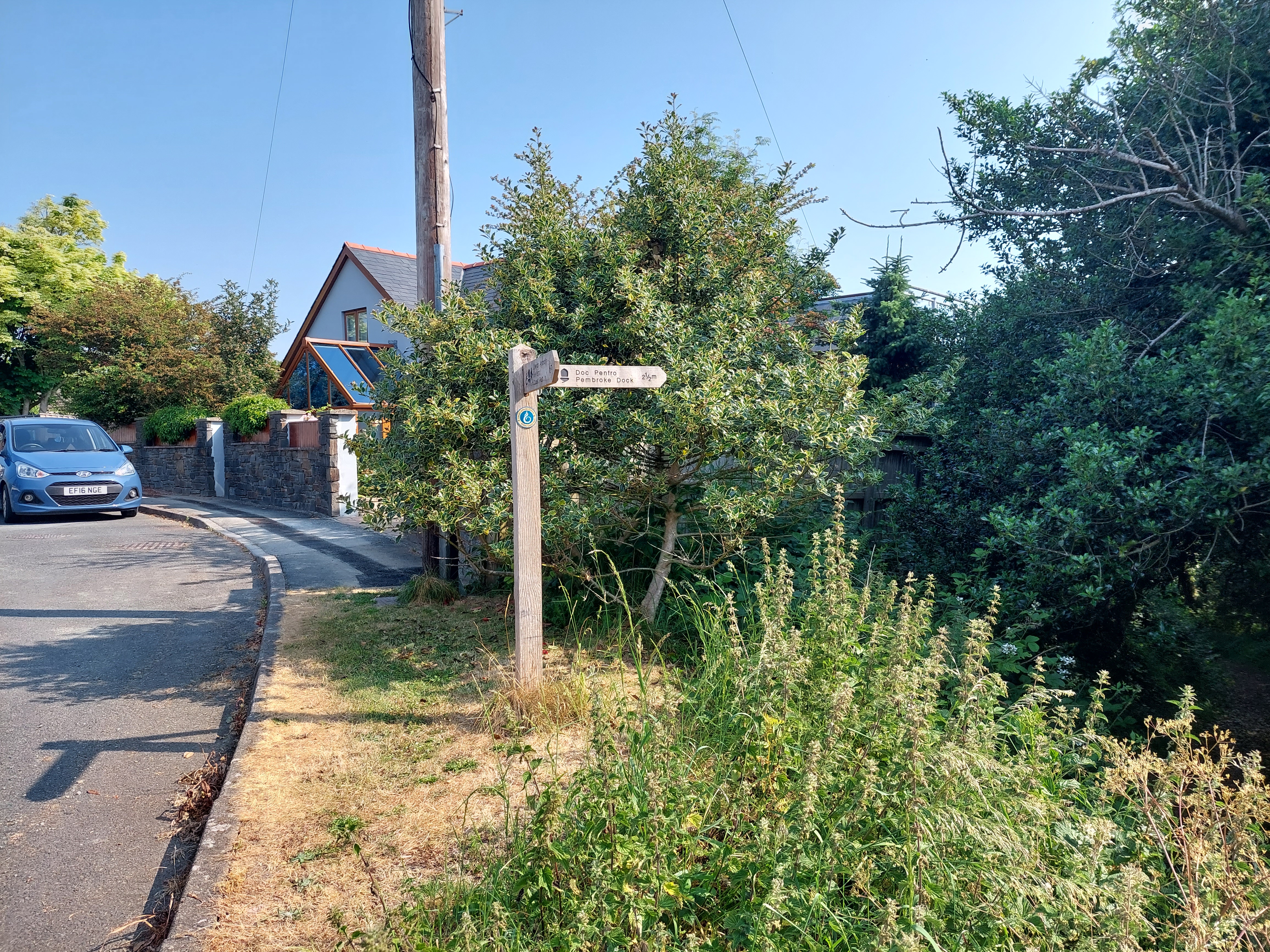
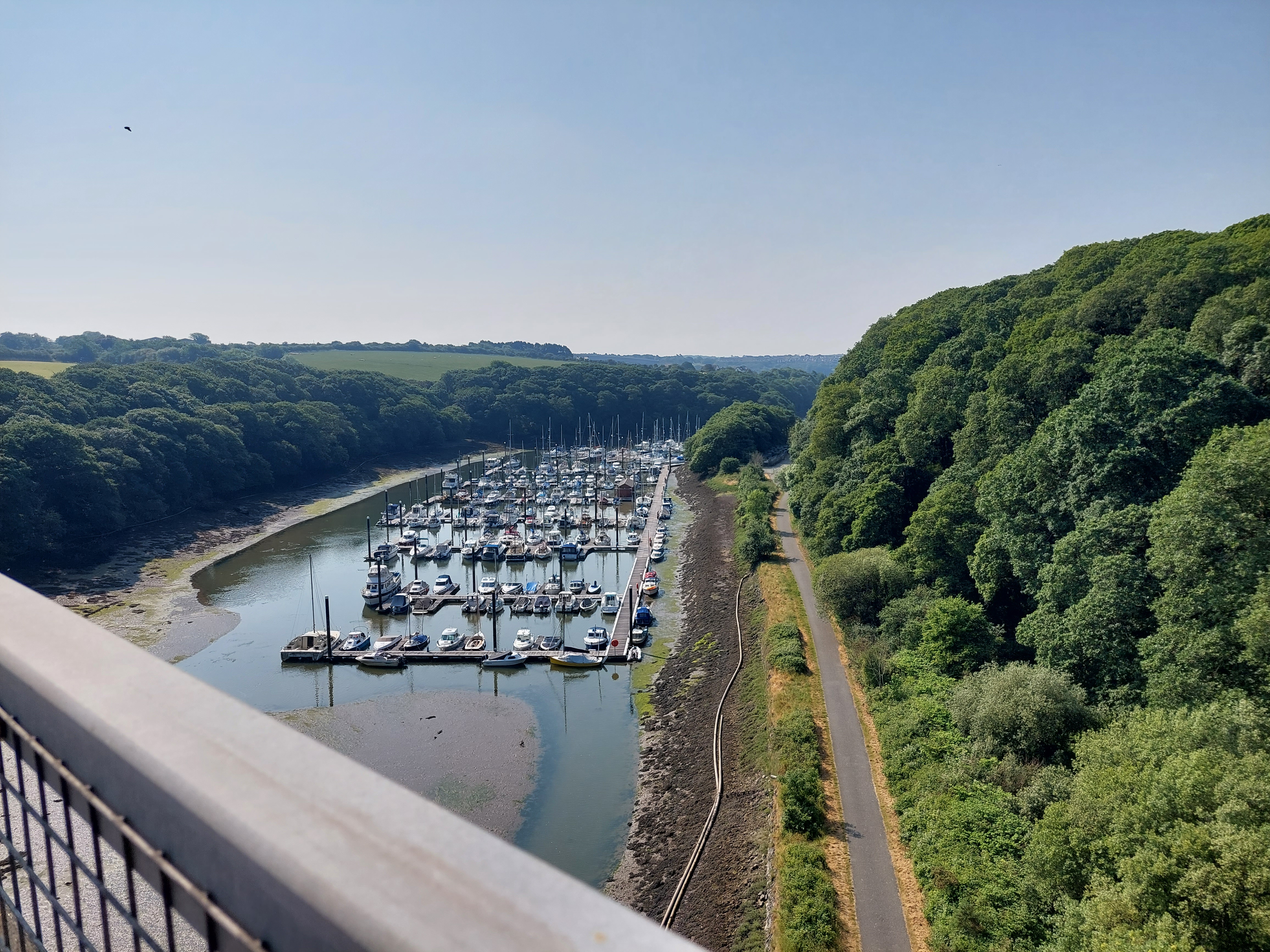
I decided to do a much less remote walk on this day and to carry on from Neyland due to the forecast heat. Today’s walk was mostly close to a bus route so I could duck out readily if it all got too hot. I started earlier and decided to walk and then get the bus back. I drove to Neyland and was ready to start at 9:15. I touched my rock touching point and set off! The initial section was up through Neyland streets, and then a wooded section alongside the marina, which led back up to the main road (A477). I would not normally be very enthusiastic about walking next to a main road, but this was a bit different. First the bridge over the marina and then the road continued to the Cleddau Bridge. I have driven across the bridge many times, and I had been looking forward to walking it and the views did not disappoint. The Samaritans notices at either end were a bit sobering.

The coast path worked its way down through Pembroke Haven (and a housing area) into Pembroke Dock. I found some toilets by Asda, and then started to walk around the old dockyard area. There were a sequence of painted benches and I had a coffee on the star wars one! It was getting hotter than I really liked but it was good to stop.

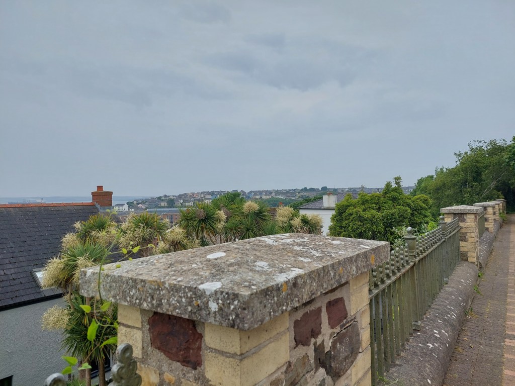
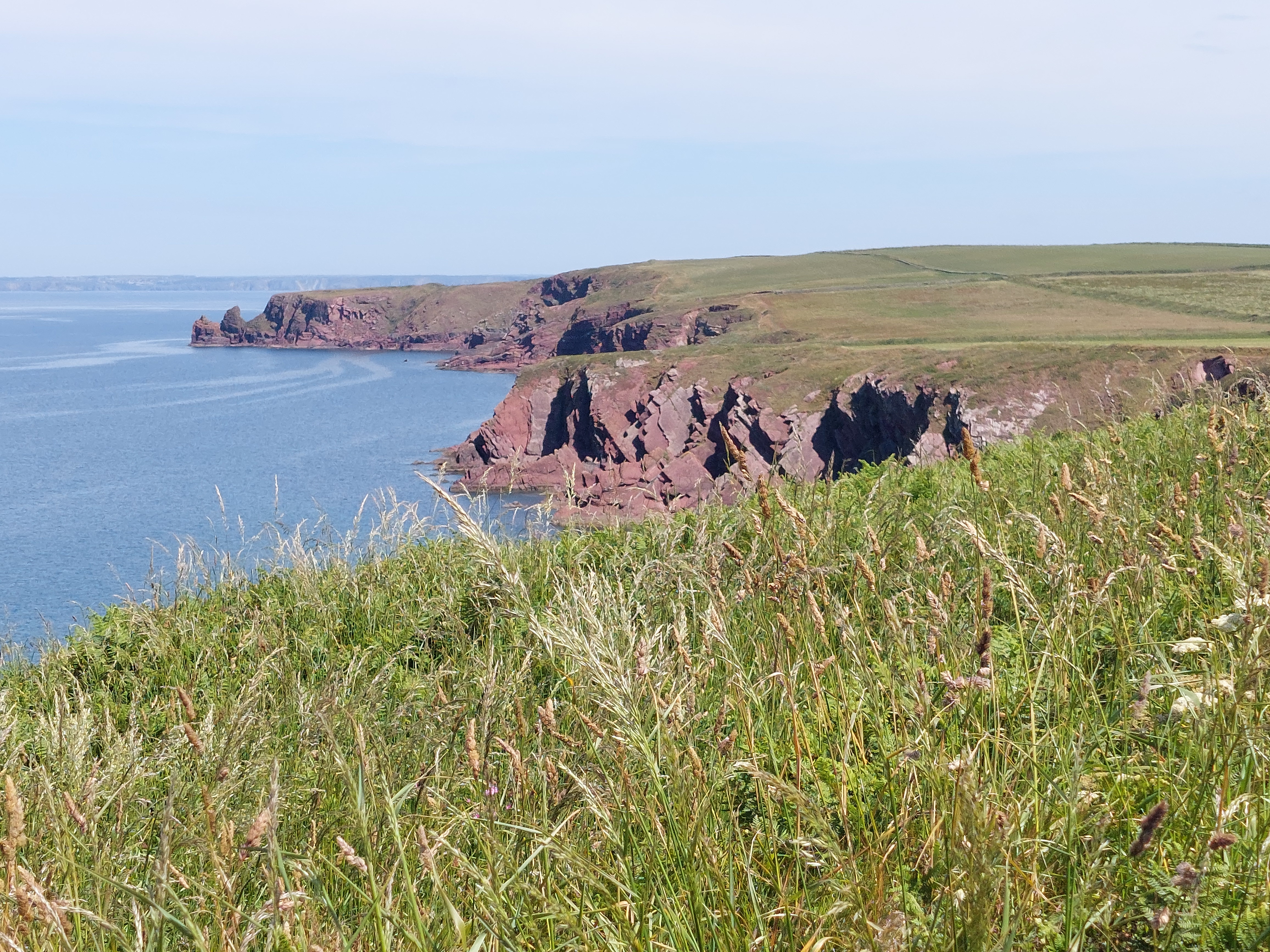
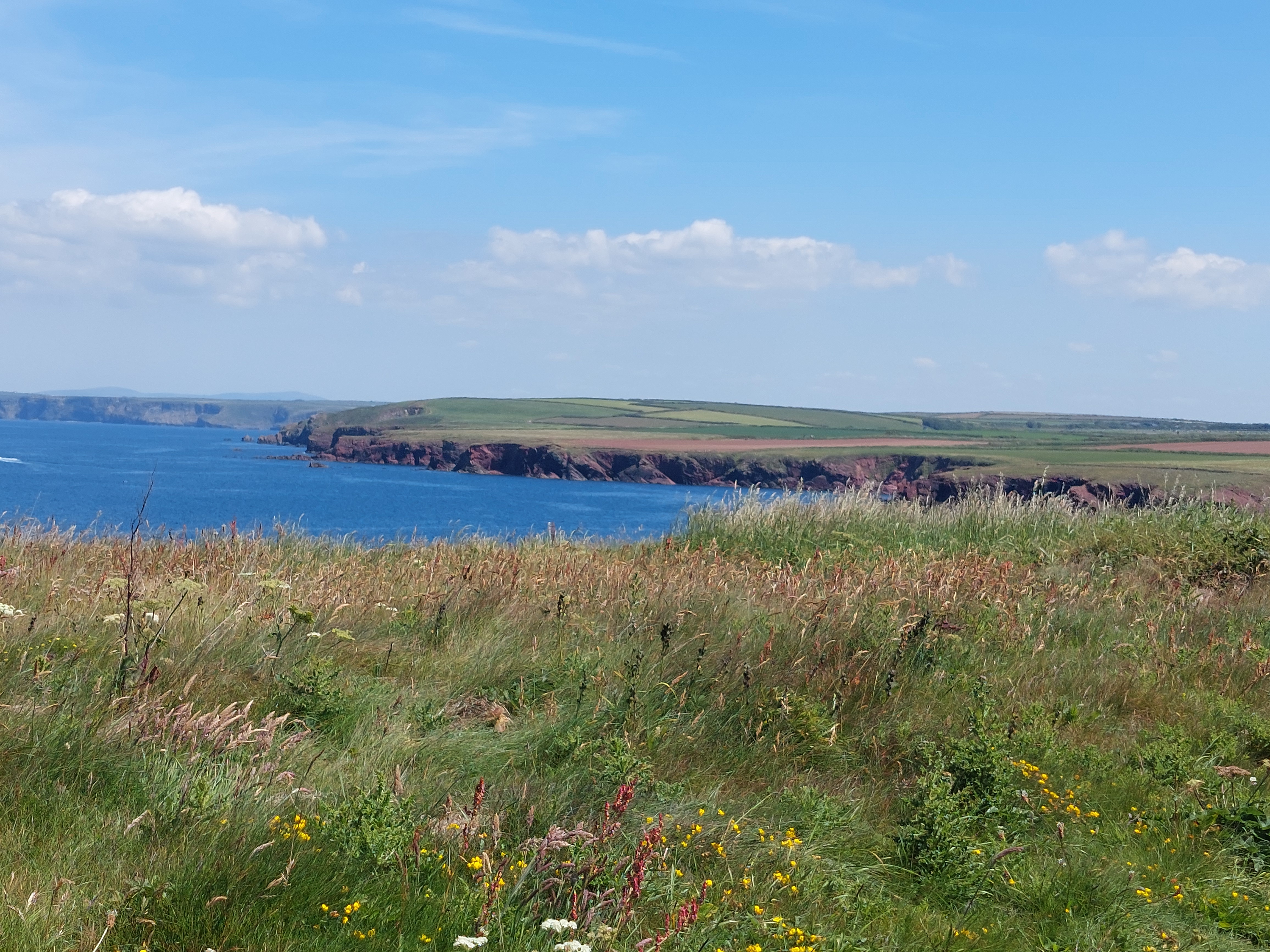
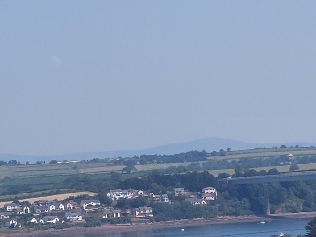
The trail climbed up to the Defensible Barracks through streets and a wooded path. The barracks looked rather austere and deteriorating! But the views across included a glimpse of the Preseli Hills (that my guide book had suggested were only visible on a good day).

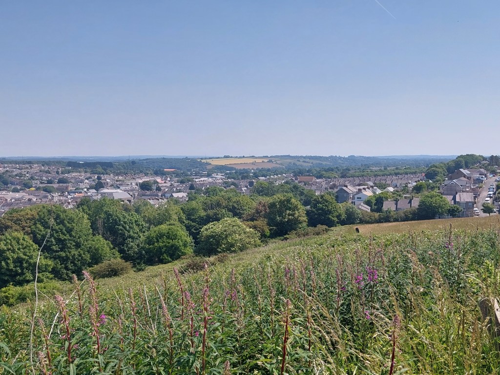
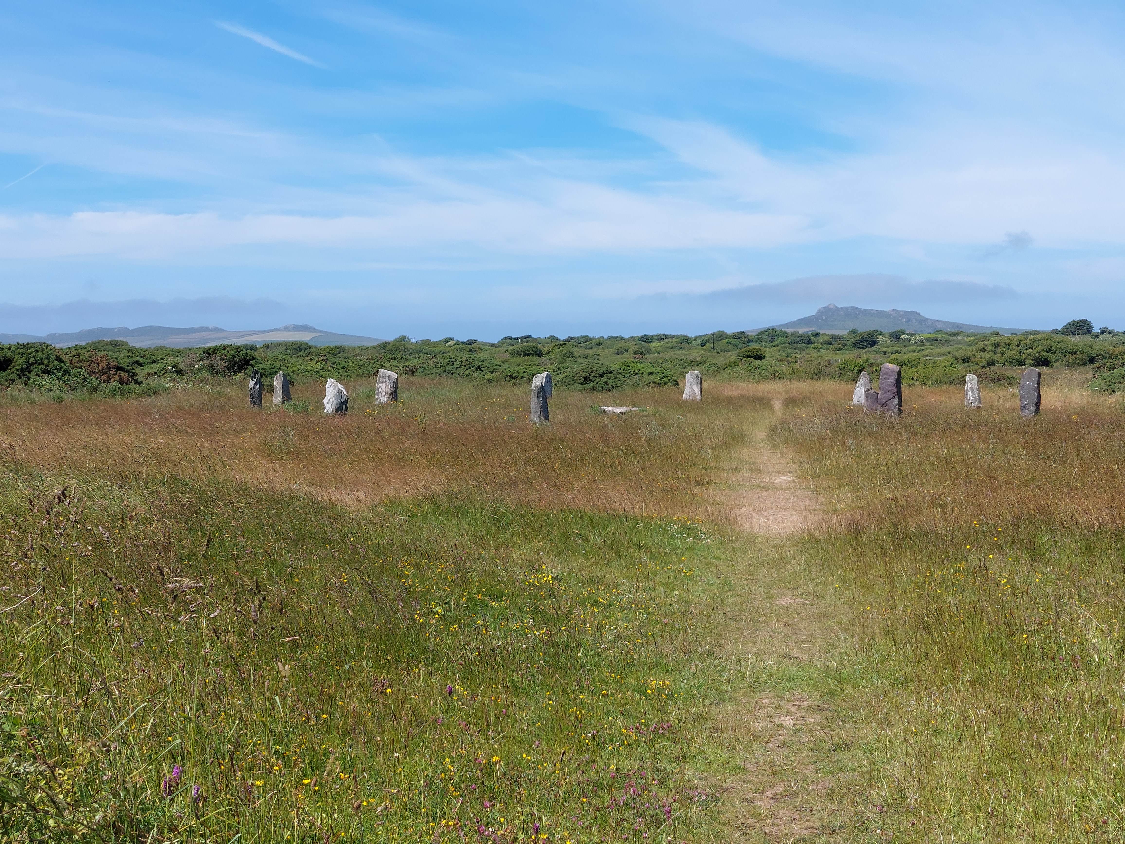
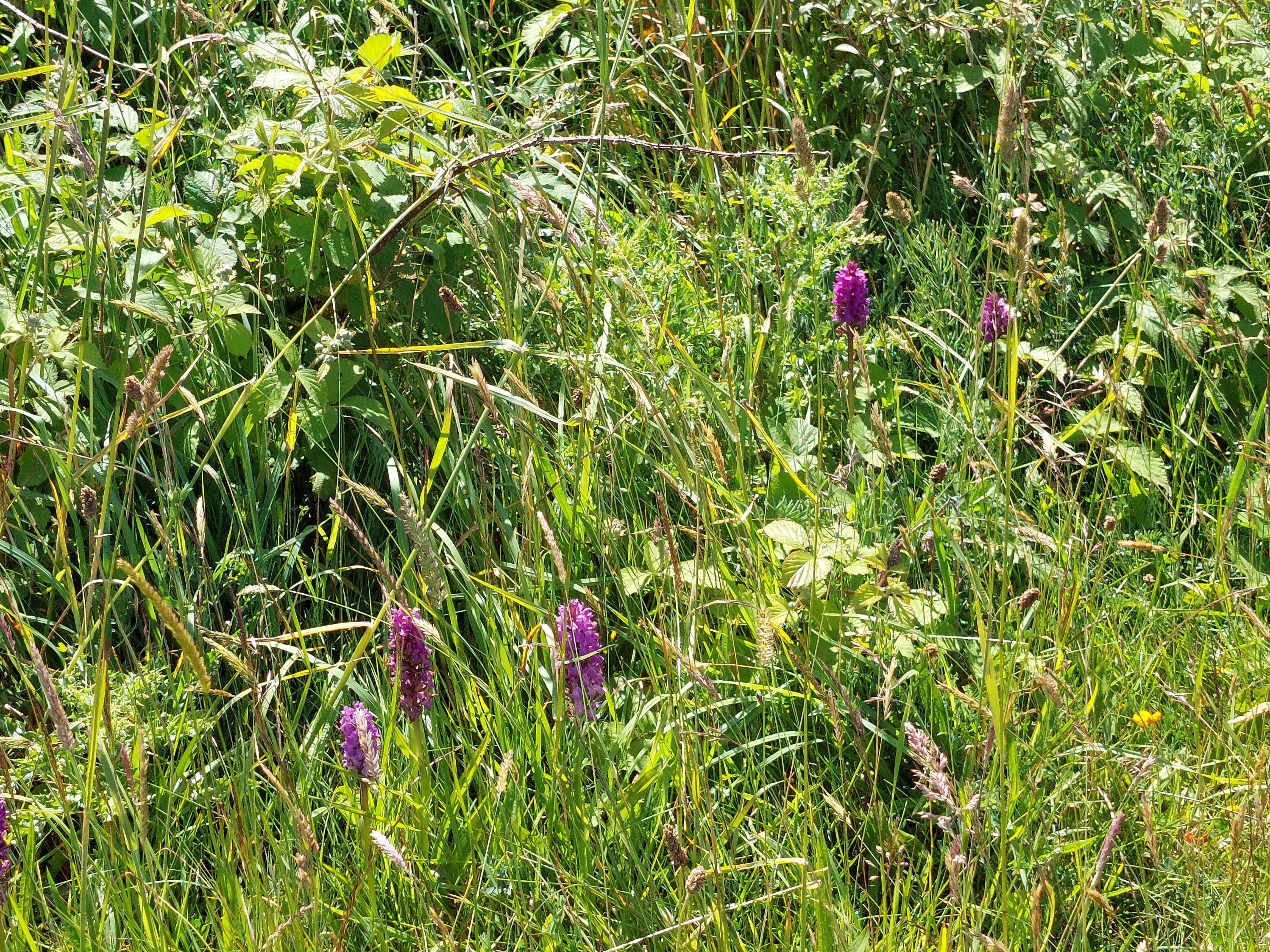
More street walking followed, which was a bit up and down, before cutting down to a surprising rural section with paddocks and wild flower fields overlooking the Pembroke river, culminating in a very welcome woodland. By this stage I was close to where I wanted to finish, and also where I could get the bus back to the car. I paused for a long drink in the woodland before working out, I could probably get the next bus. I established a touching point as I left the trail, and had an ice cream at the garage by the bus stop. It was a very satisfying bus ride back to the car which took about 20 minutes!

Rain and mist!!

Milford Haven to Neyland – 10th June 2023

On trail STEPS 16,600 Estimated distance, 7.5 miles

So here we are the 2023 section of Alison Way’s adventures on the Wales coast path. Picking up in Pembrokeshire where I left off in 2022, with a new set of waterproofs, new superfeet insoles in my walking boots and 4 new pairs of bridgedale socks (3 blue and 1 grey!). I have a comfortable base in a holiday let about mid-way along the trail I want to do on this holiday.

Looking for an easy starter to day 1 – decided to park the car in Neyland and get the bus to Milford Haven and walk back, a walk which is dominated by skirting around the enormous Milford Haven oil refinery. I found a free car park and a suitable bus stop, and waited. I established a touching point (a rock by the bus stop).  The bus was about 10 minutes late, and dropped me in a parallel road to where I joined the trail by the town war memorial (establishing a touching point there to pick up on another day). Unfortunately I had believed my phone app and that we might have showers. It began to rain hard so I donned my new kagoul (blue and white polka dots!!) but my waterproof trousers were still in the car.

The initial trail took me through parts of Milford Haven, finding a much needed toilet by the water gardens, and then down to the black bridge, crossing castle pill. By this stage the unforecasted rain was hard and persistent!. I worked my way up to regain height through a housing estate, with discouraging signs suggesting it  was a private road (though occasional coast path acorn stickers were reassuring). A rather dangerous section on the side of B4325 followed for about ¼ of  a mile. Before heading down a farm track to Venn Farm. The track skirted the farm, and then across a couple of fields to nearer to the oil refinery. A track through some scrub and woodland eventually reached the coast line, and huge fences were surrounding the numerous solar panels in the fields around the oil refinery.

I met a couple just before the turn of the path along the coast. The coast path turned out to be fence on one side, hedge and overgrowth on the other with very occasional views of Milford Haven. The path was pretty overgrown too making it slow and wet going! There was impressive displays of wildflowers through the fence. I was in need of lunch and a break but being fussy about having a view I went about a mile and a half before somewhere suitable emerged.

In this section I encountered 3 foot bridges, over pipes and roads. These were made of wire sheets, and extremely transparent. The first 2 were flat and once I had realised not looking down was a good idea, not too bad. I have never been very keen on walking on things were you can see the world beneath you (on piers etc…). The last foot bridge was sloping down at about 30 degrees from horizontal. I gingerly crossed (as it was slippery due to the rain) and held on to aspects of the wire fence, which unhelpfully prevented access to the handrail! I really didn’t enjoy the last one (but needs must) and I went into ‘intrepid’ mode. At the other end of the bridge, I found some steps with sufficient view to warrant a lunch stop and had some much needed sustenance and I had calmed down significantly by the end of the break. It was still raining – but more a steady drizzle.  I had a chat with a passing walker during lunch, and advised her not to look down on the footbridge ahead!

Thankfully there were no more footbridges, there was another section down to sea level, and back up again, and then quite a nice wooded section, with a wide path and not so overgrown as it had been around the refinery. Eventually the track reached a road into Hazelbeach and the path continued on a road by the shore back to the car. I enjoyed a rest on a wet British legion bench by the toilets in Hazelbeach and the rain had just about stopped.

I enjoyed the section on the road, admiring the views across Milford Haven and the different gardens and houses. It is clearly a very good year for flowers and ornamental cats and a delightful pig! I eventually made my way back to the car. I was a bit stiff as this had turned out to be a longer walk than I had anticipated! I also messed up using the phone step counter so the distance is a bit hazy but it was all pretty much on the trail!

St Martin’s Haven – Marloes Penisula 11th June 2023

Steps – 16,708 On trail 12,256 off trail 4452

Distance 7.68 miles on trail 5.62 miles off trail 2.06

Rather a leisurely start (walking commenced at 11:20)! Quite a long way to drive to the area where I finished in 2022 – also somewhat delayed by going rather wrong on the way! Anyway parked at the National Trust car park at St Martin’s Haven. There were loads of cars (and I was a bit concerned it was going to be really busy!) but it wasn’t. Turned out this was where you could get boat trips to Skomer Island. I was in the middle of the section of coast path I was going to do, so didn’t start with a touching point. It was misty and humid when I set off.

It was a bit eerie with the billowing mist, but the initial section had wide grassy paths and was very straightforward. I was a bit concerned about the fresh cow dung and a few horse flies (it was in this area I had succumbed to what I think was a horse fly bite which stopped walking earlier than I had planned in 2022). I carefully avoided all the fresher looking cow pats!

After about a mile, it became more typical coast path, rougher and a bit overgrown. I stopped and had a coffee break, perching on a convenient rock just before the path deteriorated. The scenery was impressive if rather misty. I had studied the map carefully and decided to cut back over to the other side (and the point I had stopped on the trail last year!). Also I have done this walk before (about 10 years ago!) and had a memorable bullock encounter on the other cut through which I did not want to repeat. At this point, I set up a touching point for when I continue. This rather mystified a couple who were having a snack by the gate to the inland path. The track came out by some toilets and a café. I used the former, and made plans to use the latter when I take up the trail again.

After a track across a field, I was then on a side road, and the road down to Martin’s Haven walking back towards Marloes for about ¾ of a mile before turning down a track I had used before which led down to the coast path. It was good to connect with my coast path sign touching point, before heading back towards St Martin’s Haven. Again I was struggling to find somewhere to stop for lunch as the path was very narrow and overgrown. Eventually after a couple of up and down bits, I found a grassy mound. This afforded a view, which improved as the mist briefly lifted whilst I ate my lunch. I was rather distracted by some black and white birds on the sea (?puffins?). Unfortunately the number of ants increased as I was eating and watching the birds, and I realised I was sitting very near an ants nest. Numerous ants then had to be evicted from my rucksack and seat pad.

The walk continued much as before and within about half an hour the mist had rolled back in. The scenery was lovely but it was humid and the path was surprisingly overgrown. Eventually it wound down to sea level and a small bay where the boat trips came in and out. I walked back up the road to the car park!

Joy, delight, and disaster!

Tuesday 21st June – St Brides to Marloes (plus the beach at Newgale)

Total Steps: 16,351– 8504 steps on the trail , 7807 off the trail

Total: 7.5 miles 3.9 on the trail, 3.6 of the trail

Running Total: 70.1 miles – 44.3 miles on the trail, 25.8 miles off

It was a warm start, and a long drive back to St Brides to start the next part of the trail. I decided to do the inland leg first on this walk, and to try to walk until it got too warm. I ended up on a very wiggly route along the coastal back lanes in the car, and I was ready to go touching the coast path touching point just after 9:30am

The inland stretch of this walk first past a functioning but locked church, and then was across active farm land (fortunately mainly arable). There was one field with bullocks right on the other side thankfully but also lots of active horse flies around fresh dung near the path. It was pretty delightful with different crops, and some sections with good borders awash with wild flowers. It was quiet too, I met 2 couples both of whom I met again on the cliffs doing the same circuit as me). There were kissing gates linking the fields with short link paths, and a couple of styles, one with stone steps up.

I ended up in Marloes, with the path coming out by the facilities, which was very convenient. I initially went the wrong way (though this did mean I saw the clock tower) and then realising my mistake walked through the village and a little beyond to where a path connected to the coast path. I set up a touching point on the coast path sign, and had worked out where to park the car for the next leg of the path. I was soon coming out by the black cliffs and found a perching point for morning coffee in a cove which was completely idyllic. I lingered a little as it was so pretty.

The first section of the cliff path, with clear seas, warm sunshine and redstone cliffs was reasonably straightforward as well as beautiful, once I had climbed up from the cove. I passed a potential marquee reception venue, and then the cliffs rolled along soon joining the wall of the St Bride’s estate. There was one higher section, which was a bit of a stretch in the heat, but then it continued in much the same vein, winding back round the headland.

The second section of the coast path was close to the wall and further away from the edge, allowing a wide expanse of grassy growth to slip away to the cliffs. As I rounded the second corner of the wall, I came across a suitable bench for a lunch stop. It was about then as I sat down, that my leg started to bother me. I ended up using the seat pad, as I thought it was the edge of the bench – but I now realise it was the bite on the back of my thigh I either picked up then or had picked up earlier and not noticed. (The pictures show the extent of St Brides bay I have walked on this trip!)

It was an easy amble back to the car from there, and St Brides was very busy. So I went back to New Gale to try and fill the gap in the trail (2 miles) on the beach. I did manage about a third of that but the tide was too far in. I left a touching point on a stone and thought I would be back. It was lovely to walk on the beach but my thigh was aching a bit! I had a pricy ice cream and came back to base camp.

I investigated my thigh, which was just rather red at that point, and as the evening progressed it got very sore. I tried both bite cream and savlon to soothe it, neither helped. After watching bake off the professionals, I took a much closer look at the back of my thigh (with a mirror and my phone as a torch) – the problem area was now about the size of a milk bottle top, and blistering, sore and warm. I was abit alarmed and rang NHS 111. I dozed and about 11:30, they rang back first and I was more alarmed that the sore area had grown and they instructed me to mark round it. They rang back again at 1:30 and prescribed some antibiotics to pick up in Haverfordwest in the morning and to rest it. I contemplated the NHS website on bites, and also concluded I needed to cover it – and would pick up something to do that with the prescription. I didn’t sleep well.

I can’t see me managing any more of the trail on this visit – so I will have to pick up the trail on another visit from the black cliffs near Marloes. It has been fantastic and I am amazed I have done as much as I have in view of the difficulties with my fitness and the walker bus driver shortages. In the circumstances to have added another 44 miles to my tally on the trail is good (and over 70 miles in total!). I have been very blessed with the weather and God’s good earth in all its beauty!

Joining the dots

Monday 20th June – Abereiddy to Solva (base camp)

Total Steps: 16,016 – 16,016 steps on the trail

Total: 7.4 miles 7.4 on the trail

Running Total: 62.6 miles – 40.4 miles on the trail, 22.2 miles off

Different start to the day, as I collected things I needed from the car, I saw a fox in the green space around complex containing base camp. The fox didn’t move when I first went out, but did move when I came back with my camera.

I then walked to the minimarket bus stop to catch the Fflesci bus. It had started to send me texts, but as I had had trouble with the booking, I could not make head nor tail of what the app was doing, I was a bit unsure about what would happen. Eventually the bus arrived, with the friendly Mike driving it. He explained lots of people found the app difficult to understand. We did 2 pick ups for shopping trips and it was good to see the care being taken. We then headed off for Abereiddy as I had booked and he dropped me at my last touching point – the Strumble Shuttle bus stop above the bay.

By the time I was ready to actually start walking it was 10:45am, and the weather was much warmer and the wind (alleluia!) had dropped. I briefly contemplated doing the coast path section, but decided my eccentric plan B was a safer option, so I started up the road, enjoying the views. I met a couple of people walking down the road, and we discussed the joyful warm weather. By a complex I saw a kestrel type bird of prey and later over the cricket field, and airfield a buzzard.

I got up to Berea and by this stage was looking for a place to have morning coffee. The chapel proved not to have any outside benches, so I continued onto a connecting side road (with grass up the middle in places). After about ¼ mile, I reached Llandigige Fawr. Fortunately there was a very pleasant cricket pitch with benches, ideal for my purpose and with great views across to the striking headlands behind St David’s.

It was warm going on the minor road, this time I saw a church which had definitely been repurposed. Then there was a very brief section on the main A road, which I did as quickly as possible. Traffic was light fortunately, and I was soon at the next minor turning, and the entrance of a rather overgrown green lane path. This led to an area of common land, rather overgrown, marshy with lots of local ponies. One of whom was very keen to get acquainted. The path was a bit indistinct in places, and towards the end of this section and to avoid some mud, there was a section of stepping stones. I began to see in this section and the disused airfield beyond lots of orchids.

It was a relief to get to the airfield, which turned out to have paved paths, and I met the team mowing the edges) – near where I entered there was a stone circle and a convenient bench for lunch. Again the views up to the distinctive headlands beyond St David’s set the scene. It reminded me of 2 things, stone circles being visible from above (like Avebury from the ridgeway) and the whole machair look of Lewis particularly with the stones.

The walk across the airfield was rather different, especially when we finally got to where the runway was. All the buildings had been removed, but I had happened on this by chance and it was certainly a good space that could be promoted more.

The next stage was a farm track, that passed a camp and caravan site, down to the main road, just down from the holiday let. I didn’t fancy another short stint on the edge of the A road, so I crossed over and made my way back to the base camp initially on a track, across the fields and then a path connecting to near where the archaelogist’s portaloo is!

It was a very different walk, but a good one and I was glad I had connected the gap with where I left off in September. Back to St Bride’s tomorrow as the prospective boat trip option has now moved to Friday. It was also good to do something easier (as I was quite achy after yesterday’s over exertions!)

St Bride’s bay part 2

St Bride’s Bay – part 2

Saturday 18th June – Beyond Little Haven (Musselwick view point) to Harold stone and back again

Total Steps: 13,998 – 6726 steps on the trail 7269 off the trail

Total: 6.4 miles 3.1 on the trail, 3.3 miles off

Running Total: 44.4 miles – 26.9 miles on the trail, 17.5 miles off

I paid significant attention to the weather forecast, and wrapped up more than I had done previously, walking in my waterproofs (and gloves) as the ambient temperature was 12 degrees and there was still a stiff breeze. It is now beginning to take a while to get to where the walks need to begin, so I drove on mostly windy lanes from New Gale to the parking space beyond Little Haven – there was room for about 4 cars at the Musselwick view point (and mine was the 3rd vehicle). I set up a touching point on the bench present to admire the view, and then set off on the outward leg of the walk (this time doing the off route section first (except where the coast path was on the road!).

It was interesting to walk down through Little Haven, and I found a couple of dragons in passing. It has been a while since I have been passing through places. I availed myself of the facilities in the village, and was soon walking up and over the ridge on the road to Broad Haven. I had come to Broad Haven on one of the Welsh half term holiday weeks with my family when I was a child, and this is the last of the 4 destinations we had visited that I have passed through on the trail. Can’t say I remember it. I have ofcourse been to Broad Haven many times with Jane more recently, and I walked past our favourite café. There were a few people about, and surfing lessons going on, as well as a few hardy swimmers.

I followed a path I have used before through Haroldston Woods, and it was nice to be more sheltered out of the wind and in the trees. The path gently climbed to an exit near the cut through I used yesterday from the coast path. To make sure I went the right way I did follow carefully via the Ordinance survey map app!

I made my way across the link path, and thought I saw a large rock. It was beginning to drizzle at this point. The rock got up and it soon became apparent it was a very bonnie big black bull. I was soon on the cliff path, and I reconnected with yesterday’s touching point and headed down the easy path back into Broad Haven – I stopped for a drizzly coffee break on a welcoming bench. I made my way back through Broad Haven – this time stopping in Ocean café, and I succumbed to another coffee (in the dry) and an excellent piece of barabrith.

Then I retraced my steps on the road up and over into Little Haven – and then the path took to the cliffs, via a viewing point. The path then got quite a lot more energetic, with some steep steps, and a sequence of ups and downs as it worked back out to where I had parked the car. In view of the weather forecast I decided to stop at this point, and indeed it did rain heavily about an hour later!

In case you have been wondering why I went wrong the other day – near the end of today’s trail I saw signs which accounts for the mistake I made. The top one is the coast path sign (with black writing) and the second one for the coast park!

Sunday 19th June – St Bride’s cross to beyond Little Haven (Musselwick view point) and back again

Total Steps: 23,589 – 13,410  steps on the trail 10,179 off the trail

Total: 10.8 miles 6.1 on the trail, 4.7 miles off

Running Total: 55.2 miles – 33 miles on the trail, 22.2 miles off

It took nearly 40 minutes to get to my starting point at St Bride’s, quite inspiring really to think I have walked as far as I have. I used the facilities, and checked there wasn’t a pay machine before wrapping up back in water proofs again, as the temperature was again about 12 and there was a very gusty wind. I had spent quite a lot of time working on the walk for today, and had opted to walk in this direction, which turned out to often be in the very strong wind! I established a touching point, and set off!

The first section was through the bay and then up on to low sandstone cliffs. The wind was keen, and it was on occasions a bit edgy but it was a pretty walk, and I was soon at the mid-walk exit point I had identified. It was a bit disconcerting to see how the path was on cliff edges overhanging!  People were sparce throughout the walk today!

I decided to carry on and the coast path got more challenging, moving up and away from Sandstone. I alarmed some calves (fortunately on the other side of a fence), as I was working up to a greater height. Again it was all abit edgy, it got a lot more challenging around 3 small coves, apparently popular with smugglers. I can’t imagine access was easy but it was not overlooked.

After these the path skirted round the cliffs undulating abit – with vegetation down to the sea, it was reasonably easy going wind aside. I met an interesting couple at this point and we had a long chat about the merits of this path. By this stage I was also looking for a vaguely sheltered point to have a coffee stop. This eventually happened at Ticklas point, where there was a rock I sheltered behind.

The next part seemed to take longer than I expected, one more open section to Borough Head and then about a mile in woods – the undulating continued. This presence of the wood made it more sheltered from the wind, which was a relief but it was a bit strange. Eventually I made it back to the touching point bench – to find a family using it. I touched the rail near it and then diverted back to the road. My step count showed I had walked further than I intended!

I decided to have lunch at the church after about ¾ of a mile of the back route. It was not clear if the church was functioning – a broken notice board and locked. I was grateful for a bench memorial, with an excellent view. I contemplated the unknown sailor on a memorial in front of me, and an interesting trunk carving on another stone.

The lanes back was a bit of a struggle, but I managed. It included a brief spell on a green lane which was impassable for vehicles. I was right to have made sure it was mostly down hill (which had accounted for my walk direction!) and I made it back to the car feeling rather weary though I had walked over 10 miles! Lots of good views of the coast, and St Bride’s castle helped with motivation!

St Bride’s Bay – part 1

Thursday 16th June – New Gale to Nolton Haven and back again

Total Steps: 14,532 – 7664 steps on the trail 6,868 off the trail

Total: 6.6 miles 3.5 on the trail, 3.1 miles off

Running Total: 30.4 miles – 20 miles on the trail, 10.4 miles off

I woke up a bit later than usual – the sun was shining and it was pleasantly warm (19). By the time I had driven to New Gale, I was not setting off on the trail until 10:15. I have decided to start proper on the next section around St Bride’s bay – there is a short piece to join up the trail from Porthmynawyd but I have a cunning plan to address that on the day I do the boat trip and when the tide is out on New Gale beach! I have also moved onto the South Pembrokeshire map!

Anyway I set up a touching point, with a puffin sign on the toilets of the car park. I managed to get the parking app to work, which was pleasing and set off initially on the road above the beach at New Gale as the tide was in! It was a bit sad to see the café at the third car park firmly shut (what with that and the café of choice (Sands Café) in New Gale being a building site!), it is all a bit sad to see.

The section on the road was OK and easy going, but a bit dicey with a narrow road, encroaching stones from the beach, and passing cars. I was glad initially to divert off on the cliffs when the path emerged after about ½ a mile. This proved to be a bit of a false joy. The path started to do the up and down thing, with amplification – so the descents got deeper, ascents higher and the path trickier. It was good to be walking towards Ricketts head rock, which is very visible when walking on New Gale beach. The third descent (and one with 2 path options as one was so badly eroded) came out by a disused mine shaft, which I remembered seeing before. It was along the path after that I met a woman and her son. I remarked that the path was very up and down, and she said – the worst is still to come!

As I had just completed another ascent, I found some crab claws on the path (not sure if this was a bird or human intervention but it must have been a big crab!) Sadly, the woman was right, as I reached the point directly above Rickett’s head rock, I realised the only way down was a very precipitous slope and with a lot of loose gravel on the surface. I took a phone call part way down, confirming tomorrow’s boat trip – weather permitting, which was more than a little surreal. It was slow progress but eventually I stopped for a late morning coffee to restore my equilibrium near the foot of the rock.

I carried on and eventually this taxing path turned down into Nolton Haven. I found a bench to sit on, and contemplated what to do. I was not happy to go back the way I had come. This had been my initial plan (and to walk back on the beach near the Mine workings). So a cunning plan b was hatched to walk back on the road. I used the available facilities, and had a snack and used the bench as the touching point for the coast path.

After a steady ascent back, this turned out to be an Ok choice. Eventually I had lunch on a bench in a national trust car park, which was more scenic than it sounds. And the views down to the beach (where the tide had now gone back out) on the second leg on the road were good.

Friday 17th June – Nolton Haven to Harold’s stone and back again

Total Steps: 16,833 – 8438 steps on the trail 8395 off the trail

Total: 7.6 miles 3.8 on the trail, 3.8 miles off

Running Total: 38 miles – 23.8 miles on the trail, 14.2 miles off

After an early night, I was up with the lark to be ready for the 8:30 boat trip from St Justinian’s. The wind had got up overnight, and sadly just after 7:20am I got the call to say the boat trip was off. The wind direction (south easterly) was the problem, and it turned out with the way the weather went this was all for the best. I have rearranged to Tuesday – so fingers crossed for that!

Had a more leisurely coffee and then set off for Nolton Haven for the next leg of the trail. I am being a bit hampered by the absence of the Puffin Shuttle, so will have to do a circuit back to where I parked. It was not possible to use the car park app, as there was no phone signal in Norton Haven. I was on the trail climbing out of Nolton Haven shortly after 9:10am, having connected with the touching point I left on the bench by the car park. The stiff breeze was notable and I had set off without my fleece on (a first) as the air temperature was warm (about 19). The views around the first headland were good, and I looked down on a set of ladies having an early swim who I had seen in the car park. Apart from a few very well maintained steps, it was easy going into Druidstone and the path dropped down to behind the beach. The tide was well in!

It was then abit frustrating as the lovely Druidstone Hotel (which I have frequented with Jane in the past) owns the land, so the path goes up to the road and winds round a big section of cliff with views down to the beach. Eventually, after a section up on road, then a path parallel to the road, the path finally cut back across the headland to the coast from the road. This then joined a section I have been to with Jane suitable for disabled access which runs above Haroldston Chins. I had a coffee stop here and took in the fantastic views. It was beginning to cloud over, and the fleece went back on and stayed on!

I decided to do another mile on the coast path – which was very easy going to connect with a path back at the Harold stone. All in all this whole section of coast path had been the least challenging but nonetheless very scenic! I soon got to the turning point, and used a coast path footpath sign as the touching post. The path I had identified turned out not to exist, so I had to do a slightly longer back route on the road.

This included a stop at St Madoc’s church in Haroldston West (which was a hamlet with a handful of houses). The signs in the porch say it all. I availed myself of the bench in the churchyard and contemplated.

I descended and rejoined the road past the Druidstone Hotel, and then back up after passing a very ‘ecofriendly’ property with magnificent views. By now it was damp in the air the sea mist/low cloud were very much in evidence. I walked past where they hold Nolton Haven drive in cinema – no evidence of any showings any time soon! I was soon winding back down into Norton Haven, where the car was.                       

More tales from the trails

Tuesday13th June – St Justinian’s to Porth Clais

Total Steps: 13,774 – 13,774 steps on the trail

Total: 6.3 miles – 6.3 on the trail

Running Total: 17.8 miles – 12.3 miles on the trail, 5.5 miles off

The day started with a drive to Porth Clais where I ended yesterday and then a wait for the Celtic Coaster to take me to today’s start at St Justinian’s. I saw another load of youngsters gathering in the National Trust car park, who had climbing gear with them. They set off whilst I was waiting for the bus to come. On the bus I had a chat with a couple going on a boat ride from St Justinian’s – I was quite inspired by this, and picked up a leaflet for later perusal.

I used a puffing poster as the touching point. I set off from St Justinian’s around 10am and for the first hour it was pretty idyllic, low and pretty cliffs, with only one tricky descent (and no other people!) That of course didn’t last. The first set of people I saw were a group of about 20 girls and a few teachers (probably) doing some kind of sponsored event. One of the teachers was carrying a giant boob! Not very sensibly at the front so he couldn’t see his feet. When I saw them again later, it was being carried as a back pack. After that I saw a steady stream of people, but no more giant boobs.

In this early section I saw a number of sea birds, including cormorants and my first “red beaks” – oyster catchers. These can count as wildlife of the day. Sadly it is clearly not the season for seals, and a couple of bits of seaweed, rocks and buoys provided disappointment on closer inspection.

I selected a coffee stop to recover from the noisy girls with the giant boob, and just after the cairn marking the most westerly point in mainland Wales. This had fantastic views of Ramsey Island and back towards St Justinian’s. The early easy going didn’t last! And a rocky section followed. To be more technical about it, this is about geology on the Treginnis peninsula – and according to my trusty coast path guide – the oldest Pre-cambrian rocks in Pembrokeshire! In other words, lots of rocky bits, significantly higher than what had gone before, heathland around and lots of precipitous ups and downs (and even a bit of inelegant rock climbing!). Anyway I managed but I was quite tired by the time I wound down to Porthlysgi beach and had some lunch.

I knew the final section was relatively straightforward, after the initial ascent up on to the headland once again. Speed (is not of the essence) and progress was not quick! The views remained inspiring, with St David’s head, and Strumble head further away (and a previous conquest 😉 in my adventures). As I rounded the headland towards the descent to Porth Clais, another outbreak of climbers was apparent on the opposite side of the harbour. I could also see numerous tents (and associated facilities) just up the hill from where they were (and the caravan park I briefly visited on Monday). I also resolved the question how they got to the bottom of the cliffs (as I saw a couple abseiling down!). I have not resolved the question why climbers have all the same tent!?

A gentle and uneventful descent into Porth Clais was very welcome, and I reconnected with the bus stop touching point. After I had shed my boots and used the much appreciated facilities, I had a hot chocolate at the drinks shack – which was very good!

A short necessary drive to garner provisions followed, and to top the car up with petrol.

Wednesday 15th June

Both ways from Whitesands

7241 5.26

9370 6.81

13,363 9.71

Total Steps: 13,363 – 9370 steps on the trail 3,993 off the trail

Total: 6 miles 4.2 on the trail, 1.8 miles off

Running Total: 23.8 miles – 16.5 miles on the trail, 7.3 miles off

On the way to Whitesands bay, I stopped in St David’s to book a boat trip for early on Friday, after studying the leaflet I had picked up earlier. All things being well, this will mean an early start (I need to be at St Justinian’s, ready to go at 8:15!) and sea birds and more!

It has to be said, I wasn’t feeling 100%, due to the efforts of yesterday and an unwise excess of chick peas. I set up a touching point using a smart stone coast path sign near where I had parked the car.

I decided to walk to St Justinian’s first and then get the celtic coaster back, and see how I was. It was a sunny start (but not hot – no heatwave here), with people already on the beach – and the path was pretty kind – narrow and rather overgrown in places, but not challenging! I also saw a small lizard (rush across the path) and my first orchids – so these can be wildlife of the day.

 I availed myself of a bench (a rarity on the trail) for a brief stop. The early part of the walk the people were at a manageable level, but post my coffee stop (again with fantastic views of Ramsey Island) it was getting quite busy. This was a bit awkward as we wound round into St Justinian’s as the path was very edgy, narrow and a bit overgrown. I realised I was close to the time of the celtic coaster, so I didn’t avail myself of the available ice creams, touched the puffin touching point, and walked back up to the bus stop. The bus came a couple of minutes later.

I disembarked at the top of the Whitesands car park, by the café, so had a coffee and a cake. My first of this holiday. The only choice was Victoria sponge, which tasted better than it looked. The café had seen better days I felt, as I had frequented it before. It had clouded over at this point, and I dithered about what to do.

I decided to give the onward coast path a bit of a go, so touched my coast path touching point and set off. I am on the horns of a dilemma. The next section of coast path is described as tough by the guide. It is 7.5 miles to Abereiddy where I finished the trail in September (but with no easy exit points!). I am keen to join the dots, but not put myself into terrain which is a step too far, and which could stretch my low level of fitness! I did another mile, with the going getting increasingly difficult – and the wildness of this section becoming much more obvious. I used a rock at the junction of paths as the touching point, and near some more wild horses, who were posing rather scenically.

I took a left hand track, to go over the shoulder of St David’s head (not to ascend to the top) and head back towards Whitesands bay. The views from my higher vantage point were splendid in both directions – but this has also helped my resolve that this section of the coast path really should not be attempted in my current condition and on my own, so I need a plan B! The views back over the ground I had covered was equally inspiring (and I was a bit awed by how far it looked like I had walked over the past few days!). I found a good vantage point for lunch (but didn’t eat much as I was still digesting that Victoria sponge!). Whilst I was watching from this vantage point, I saw the “Fflecsi” bus and I wondered if that might help me joining the dots.

I drove home, and got to grips with understanding the ‘Fflecsi’ bus system and downloaded the app – eventually after a helpful chat with Cameron, a cunning plan B was sorted. I have booked to go to Abereiddy on Monday morning on the Fflecsi bus, and I will walk back across the peninsula from there (rather than on the coast path) to join the dots – It will be nice to have a change of scene on paths and lanes. This is not the first time I have had to be practical and pragmatic about what it is sensible to do!

Meanwhile – this Fflesci bus system might also help me with the path onwards with the non running walker minibuses due to driver shortages. We shall see! To be continued……….

Beyond the Gribin, and Porth Clais and back again

Sunday 12th June

Solva circuit (furthest point on the coast path Porthymynawyd)

Total Steps: 14,753 – 8403 steps on the trail 6,350 off the trail

Total: 6.3 miles 3.4 on the trail, 2.9 miles off

Running Total: 11.5 miles – 6 miles on the trail, 5.5 miles off

No bus options as it was Sunday, so did a circular walk from Solva and the opposite side to where I walked yesterday. I drove to the car park, and was all ready to go before 9:40am, meeting some of my neighbours from base camp before I got my boots on. I touched the touching point by the bridge. The initial outward path quickly deviated from the coast path, so I decided to count the steps when I get to the furthest point on the coast path and then walk back! Anyway the path took me up on to the Gribin – the view was great but it was a bit edgy and rather rocky! The path down to continue the walk was rocky, eroded and steep, and I took my time. I was conscious I was going to have to repeat this part of the walk going back up the path I had not enjoyed descending, and this rather weighed on my mind.

Anyway the inland outbound route, slowly climbed up the hill, to St Elvis’ farm. I had some doubts about this at the time, but I have been reassured there was a 6th century St Elvis! I enjoyed a path right next to a very impressive bull, whilst the Elvis ear worms were prolific! Later on this walk I also saw my first Pembrokeshire ponies too.  

After the initial track, there was a long section on field paths and then a long stretch on an overgrown ‘green lane’. I briefly passed through the hamlet of Lochvane, and another stretch of ‘green lane’ followed. I had a coffee break in a field at the end sitting on the first style of this trip!. I descended down to the coast path at this point near Porthmynawyd (establishing a touching point) and people became much more numerous. The conditions were terrific, bright blue skies, sunshine and a good temperature for walking.

There was a stiff ascent to start with, and then a very pleasing section of undulating cliffs, starting with another fort site (no archaelogists) at Dinas Fach. I met at different points my neighbours again (and the ladies had even been in for a dip in the sea!). I got to a second long promontory (Dinas Fawr). I didn’t take the optional path on and off as it looked even more edgy then the Gribin had been.

A particularly attractive stage of the coast path undulating down to Gwadn bay where I had initially turned off followed. I stopped for a second break to fortify myself for the climb back up the Gribin. It was steep but easier to get a grip going up. It was a relief to have negotiated it successfully. I was annoyed with myself that it had worried me! I wound back down to the village, which was very busy. I touched the touching point again, and indulged in a rum and raison ice cream. Yum!!!

Monday 13th June – Porth Clais to base camp (Upper Solva)

Total Steps: 16,812 –  12422 steps on the trail, 4390 off the trail

Total: 7.6 miles – 5.6 on the trail, 2 miles off

Running Total: 19.1 miles – 11.6 miles on the trail, 7.5 miles off

Some homework with the different bus companies paid dividends, I got the T11 at 9:41 from the bus stop about 10 minutes walk from the base camp to St David’s, and then the Celtic Coaster on to Porth Clais for the start of today’s walk. (The latter is not run by Richard Brothers who have the driver shortage). It was cooler and significantly cloudier but by 10:20am I was ready to go having availed myself of the National Trust facilities at Porth Clais. I used the Porth Clais bus stop as the touching point and off I went.

I wasn’t paying attention and started on the wrong path! After a straying into a caravan site and getting further away from the coast, I realised my mistake. Fortunately, I found a connecting path and was soon enjoying the delights of slightly lower cliffs than the last couple of days. I saw 2 lots of cliff climbers (the second lot being from Birmingham University) and a large group of ‘coasteerers’ initially on the rocks and then in canoes. I did think about doing such dangerous sports! I shan’t be trying them! There was again lots of people on the path. Interestingly several Americans, and four of my fellow travellers on the bus had been German.

I stopped for coffee just round the bay from St Non’s retreat centre, and was delighted (and surprised) to see a solitary gannet. So much more majestic than ordinary gulls, and it did a characteristic vertical dive into the sea right in front of me. So that can be wildlife of the day.

The route was rocky in places, and undulating but generally it kept height pretty well. I had to descend down at Caer Bwdy, and lost some height near Trelerw. There was a steep final descent into Porth y Rhaw (not as steep as the Gribbin), but this afforded more excellent views of the Archaelogical dig I saw on Saturday (no digging today), and how this point had been a fort back in the day.  Here I had set up a touching point on Saturday’s walk – which I duly touched. I had my lunch overlooking the inlet, and eventually spotted some stone sculptures.

After lunch I walked back up to the holiday let, seeing more ponies and the archaeologist’s portaloo amongst various farm machinery long unused.

Back on the trail 2022

Porth y Rhaw – Solva

11,546 steps 5,769 steps on the trail 5,777 off

5.2 miles – 2.6 miles on the trail, 2.6 miles off

On 10th June – I returned to Pembrokeshire, for another session with the Welsh Coast Path. I finished at Abereiddy back in September 2021. It is good to be back, and this time in the more colourful June.

I have a number of things to contend with on this trip. I am not very fit and had several weeks off sick in the run up to Easter this year. Also, the walker’s buses (Strumble Shuttle, Puffin Shuttle etc.) are not operating fully due to driver shortages. I have to say if I had a bus driver’s license, I would think these walker’s buses have some of the most scenic routes around! When I say not operating fully, currently that means 1 day a week, which is going to mean more circular walks (as I did today to begin to stretch my legs!). This is going to test my resolve and navigating skills as well as trying to make the most of the other buses that are running!

I set up base camp, which is near Solva yesterday. After all the driving to get here I devised a circular walk from base camp. It was definitely not the day to start where I finished in September (as the next bit of the trail from Abereiddy is wild and isolated and long! Much too long for my current level of fitness)

The weather is set fair, with a stiff breeze and a good temperature for walking. I joined the coast path after about a mile of fields and footpaths arriving at Porth y Rhaw, and established a touching point. The initial section of the coast path, was relatively straightforward, and invigorating (I do love this kind of walking). I went at my own pace (which was not fast). My descent was particularly slow!! I had a good view back at the complex where base camp is too. Early on, I met a couple of archaeologists, and admired the digging going on at an ancient fort site sponsored by Cadw. Well, what I saw was people moving earth with wheel barrows rather than digging as such!

I had a very scenic coffee stop and saw a small brown snake on a less well trod part of the path, so that can be wildlife of the day (It hid before I could get the camera poised). The path eventually turned towards Solva and I enjoyed winding down into the centre (including a trip into one of Jane’s favourite shops – Window on Wales – to buy post cards). Solva is sufficiently bustling to have 2 public toilets, and I used the first one I got too. I established a finishing touching point (and intend to do another circuit from there tomorrow), just beyond a very familiar café and pub where Jane had post- ordination refreshments many years ago.  

The coast path was busy, with lots of people making the most of the conditions, and there were even more in and around Solva. I found a path up into the village without having to dice with death walking on the narrow main road! (and slowly did the last bit back up to base camp). There was one house painted with birds, and a particularly nice owl! It was a bit of a slog back up the hill. A good effort for a first walk – and now not too achy!  

The end of the trail (for now!)

On the trail 6515 steps, 4,611m, 2.8 miles

Circuit to get back to the car 7,084 steps, 4900m 3 miles

I had a difficult choice to face on what to do on my final day on the trail – the next section was 3 miles or 11 miles to the next exit point with the Strumble shuttle. The final 8 miles is pretty remote with no easy exits etc, and there were a number of things to consider. I was stiff after yesterday and the weather forecast (and the weather) was not ideal. The wind had got up and rain was forecast from late morning (and it did!). I decided to do the 3 miles (and a circuit to get back to the car)!

I drove to Abereiddy and established a touching point for when I take up the trail again at this point (the Abereiddy Strumble shuttle bus stop)! and then did the inland route first. The paths were a bit overgrown but it was quite pleasant initially on paths in fields, and then about a mile on the road back to Porthgain. I touched the touching point (life buoy) and used the facilities and climbed up the steps at the end of the quay. I found a place out of the wind amongst the remnants of the brick/slate works on the cliffs and areas that had been quarried for a coffee break. At this point the rain (of the horizontal sort) began in earnest.

I completed the rest of the cliff walk in pouring rain and high wind. It reminded me what luck I had had with the weather on this holiday!. There were dozens of ‘coasteer’ types in the ‘blue lagoon’. I returned to the car – extremely wet!

I drove the five miles from this point to St David’s, waving at bus stop touching point as I went past. Thankfully the rain turned to drizzle as after I parked up and went to the cathedral grounds to pay my respects. This is the second place Jane is remembered – and I had had some very fond memories earlier of us visiting the ‘blue lagoon’ and walking on the cliffs at Abereiddy previously (with Ginnie the dog!)

I returned back to base camp to attend to some necessary packing and organising (and the rain persisted!). I also did the necessary maths. This week I had done 35.8 miles on the trail and 13.2 miles linking up bits of the route on circular walks. Making a total of 49 miles, which adds to last weeks 46 miles – is 95 mile total (81.8 miles on the trail). All is at least 6% margin of error! Either way I am very pleased as much of it has been challenging going too and involved some uncharacteristic rock climbing!

I will return to this trail at some point

(but here are a few shots from what I did on my gentle route back on Saturday via a couple of favourites – Bosherston Lily ponds and Llansteffan)